The content on this website is published in English. I cannot guarantee the quality of the translated text generated by the plugin of this website. The machine-translated “names” and “terminology” are often inconsistent and/or incorrect. If it looks confusing, please switch back to the English version.
Disclaimer: Information such as the locations or the trails shown on the maps of this website might be inaccurate, misleading or out-of-date. They are only the simple illustration for the ranges of the hiking trails or the points of interest. Please prepare your own navigation device, apps, topo maps, and GPX files for hiking.

About the route to Big Ben
The Difficulty Rating: ★★★☆☆
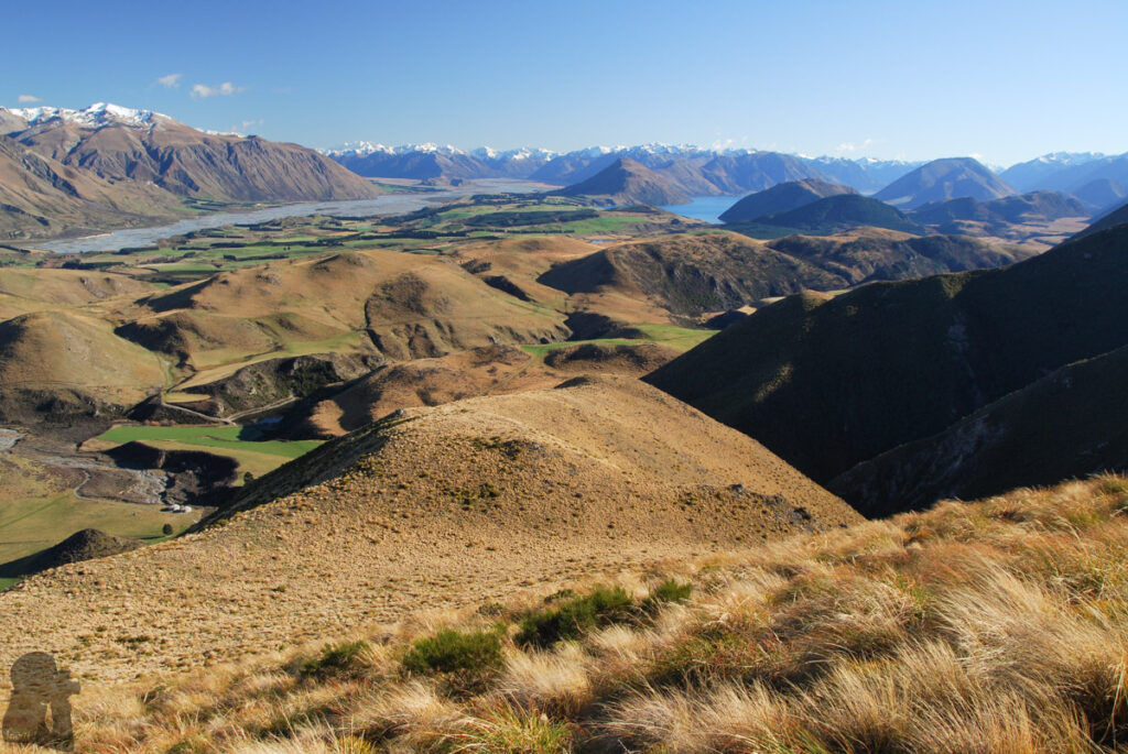
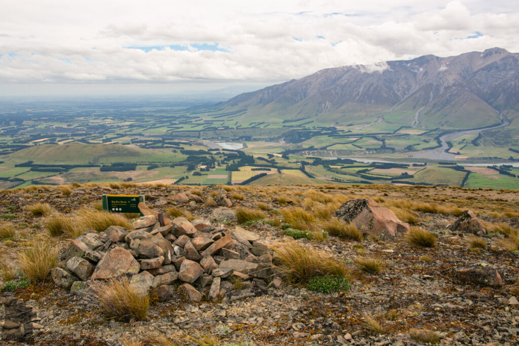
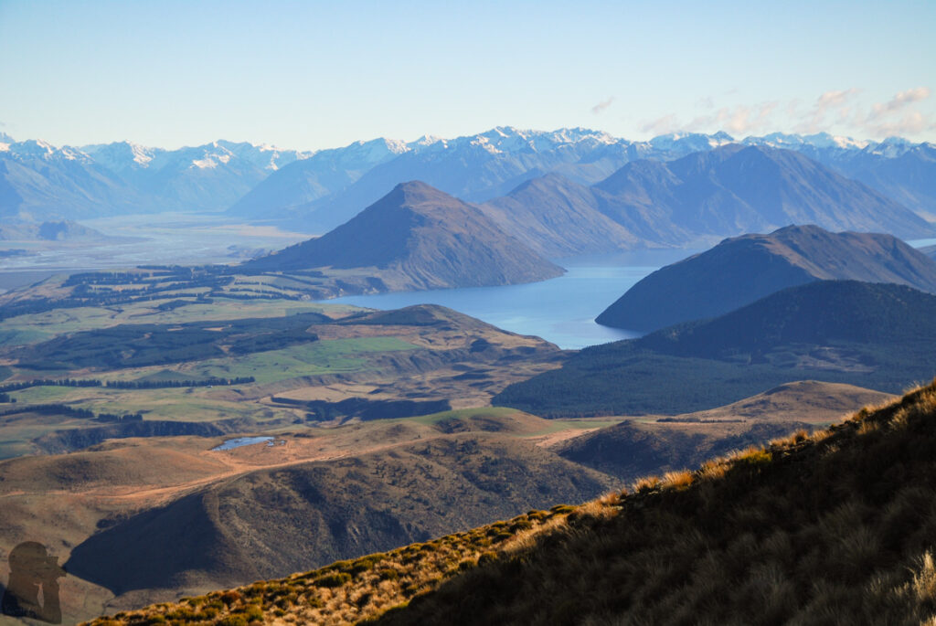
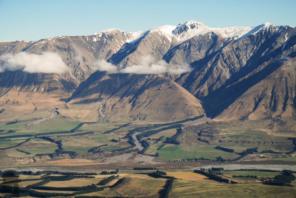
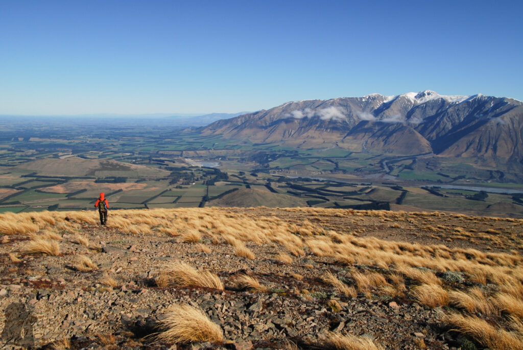
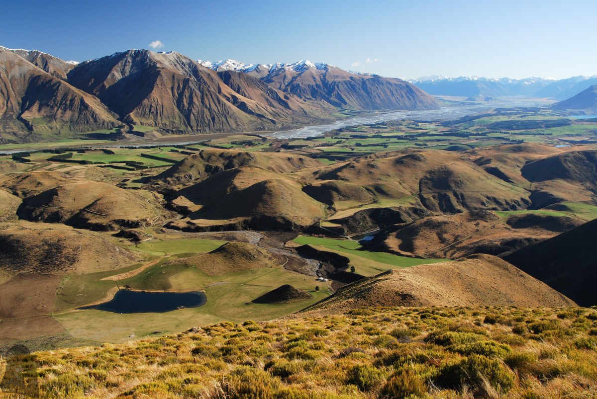
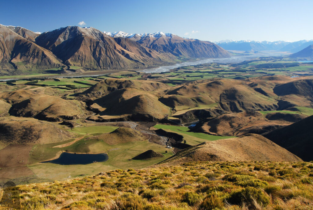
Big Ben is located on a ridge of Big Ben Range, a stand-alone range in Canterbury high country. This peak is to the southeast of Lake Coleridge and faces Mount Hutt Range on the opposite side of Rakaia River. The panorama offered on the top of Big Ben is awesome, sharing some common landscape with the Peak Hill beside Lake Coleridge as both mountains are not far to each other. But the hike to Big Ben is much more strenuous than climbing Peak Hill.
My partner and I had this hike in June 2016 and December 2021. It was more difficult than I expected prior to our first visit. This is a day hike which should not be underestimated.
The route to Big Ben includes two parts, Dry Acheron Track and then Big Ben Route.
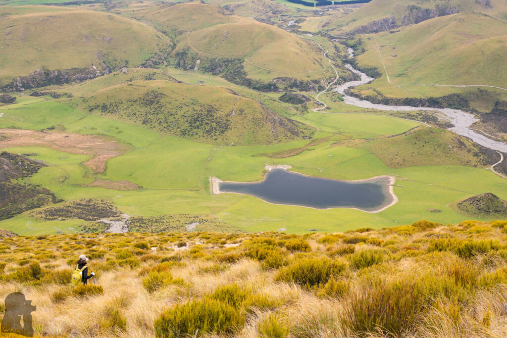
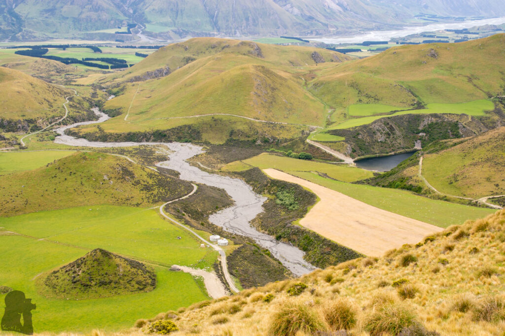
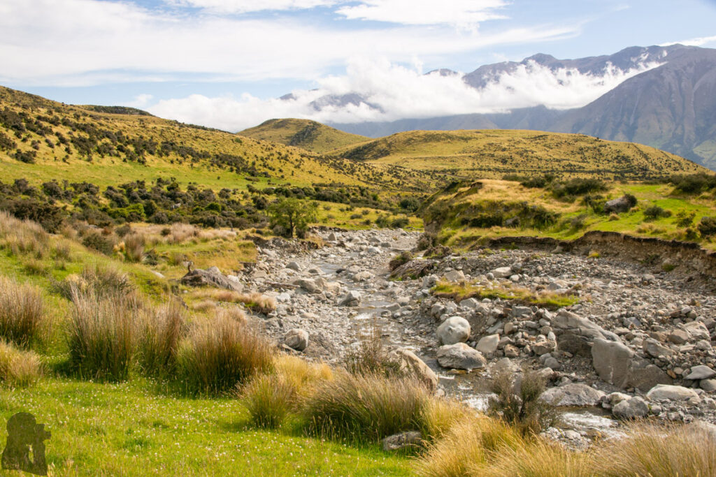
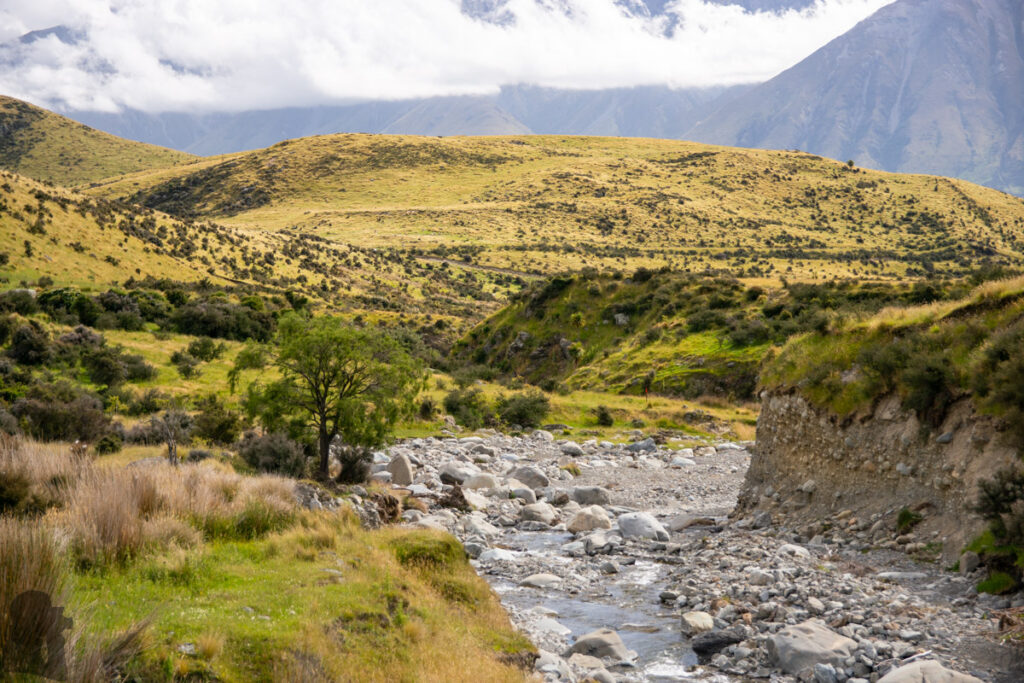
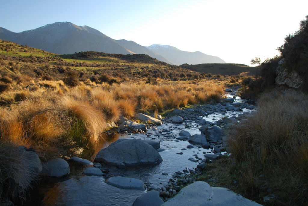
From the trail head at Coleridge Road to the summit, the 1000 m climb sounds like a fairly normal challenge for a day hike. But unlike many other trails, this route does not lead you a steady climb soon after the trail head. The first part of the hike along Dry Acheron Track took us a while to only ascend around 250-300 m until we arrived the junction of Big Ben Route. It might seem easy but I found it pretty dull to walk under the farmland on both side with some rough sections along the river. Although the gradient was relatively flat, but we could not really speed up to finish this section sooner.
Once the patience and energy was depleted to halfway, the track reached the bottom of Big Ben. From the trail junction the gradient suddenly became very steep in the first place, the time we knew the main course of the hike was coming. Not far before the summit, the gradient smoothed down to let us have the mood to appreciate the scenery. The summit of Big Ben is flat and broad with the spectacular view from it. The steep descent back to the trail junction was quick, but then it took us roughly the same amount of time (or even slightly longer due to fatigue) to return to the trail head via the same way.
As I said this hike should not be treated lightly. The route is poled, but it may be hard to see the next pole, especially on the sections along the riverbed or when the visibility is poor. I would recommend starting this day hike early in the morning to have enough daytime for the walk and the view. Because Dry Acheron Track follows the stream for most of the time, river crossing might be a problem if the stream is swelling. We both luckily kept our feet dry on the two hikes. We did not meet anyone else on the track; Big Ben is probably not a popular hiking destination.