The content on this website is published in English. I cannot guarantee the quality of the translated text generated by the plugin of this website. The machine-translated “names” and “terminology” are often inconsistent and/or incorrect. If it looks confusing, please switch back to the English version.


Disclaimer: Information such as the locations or the trails shown on the maps of this website might be inaccurate, misleading or out-of-date. They are only the simple illustration for the ranges of the hiking trails or the points of interest. Please prepare your own navigation device, apps, topo maps, and GPX files for hiking.
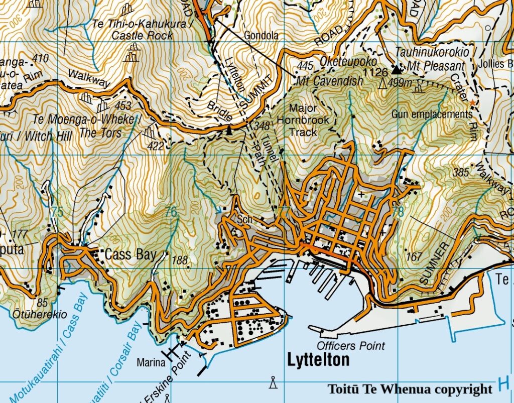
Sourced from Topo50 Map BX24 Christchurch. Crown Copyright Reserved
About the Bridle Path’s pipeline route
The difficulty rating: ★☆☆☆☆ (the official track from the gondola to Summit Road)
★★☆☆☆ (via the pipeline route to Summit Road)
Bridle Path is my most-visited track in NZ. Early settlers used the path to traverse Port Hills from Lyttelton to Christchurch. Nowadays it is one of the most popular tracks on Port Hills which is never short of visitors. You can click the link to find more track information from Christchurch City Council.
I used the track as my physical training ground before some difficult hikes and it was the path for me to get to the Summit Road where I tested my photography gears at several spots along the road. Even I have lost the count of the times I was on the track but I have not completed the entire Bridle Path yet. Every time when I finished my task, either the training or the shooting, I always went down to the car park by the gondola.
The Bridle Path on Christchurch’s side starts from the small car park which is beside the bigger car park of Christchurch Gondola. The track offers you a steady uphill walk for the first few hundred meters before a right-angle turn (to the right). From there you have two options to continue the walk.
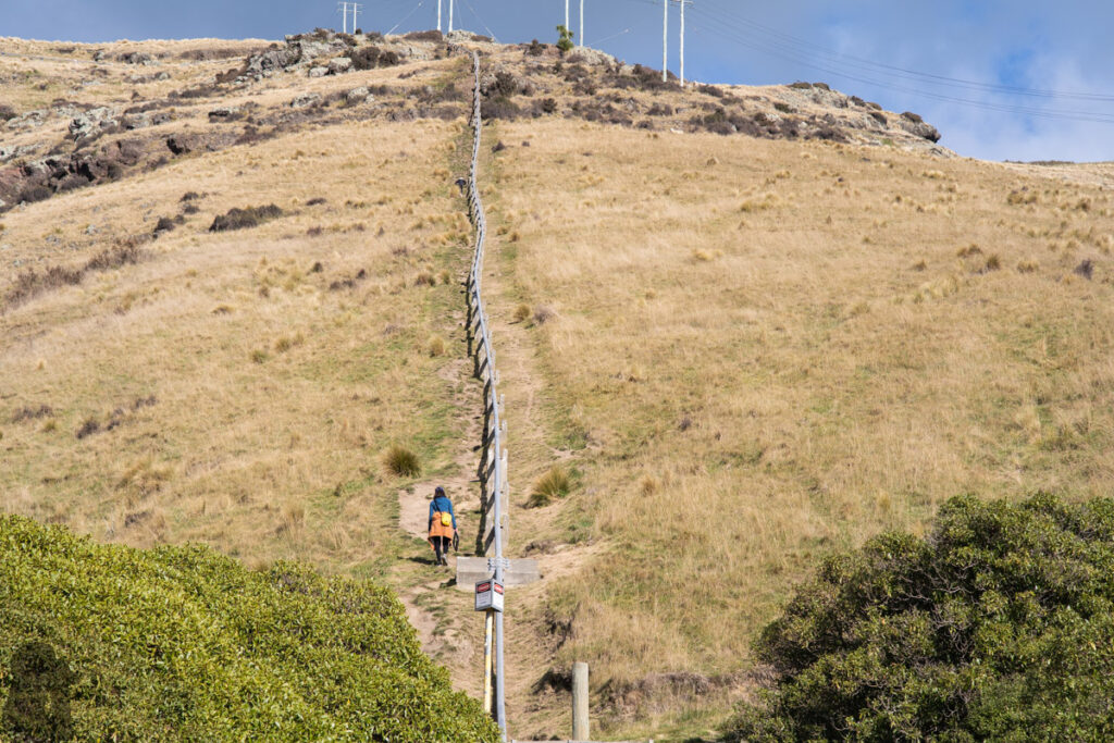
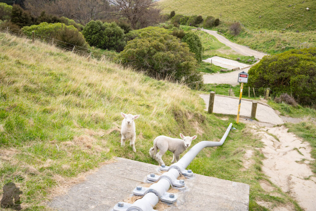
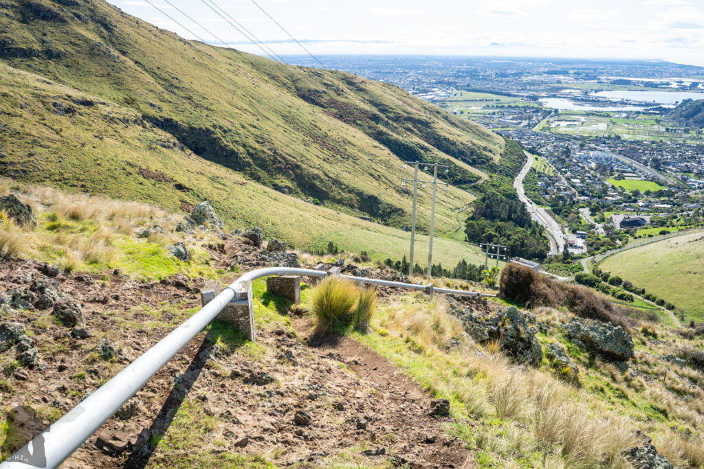
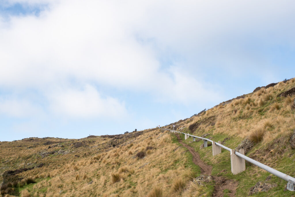
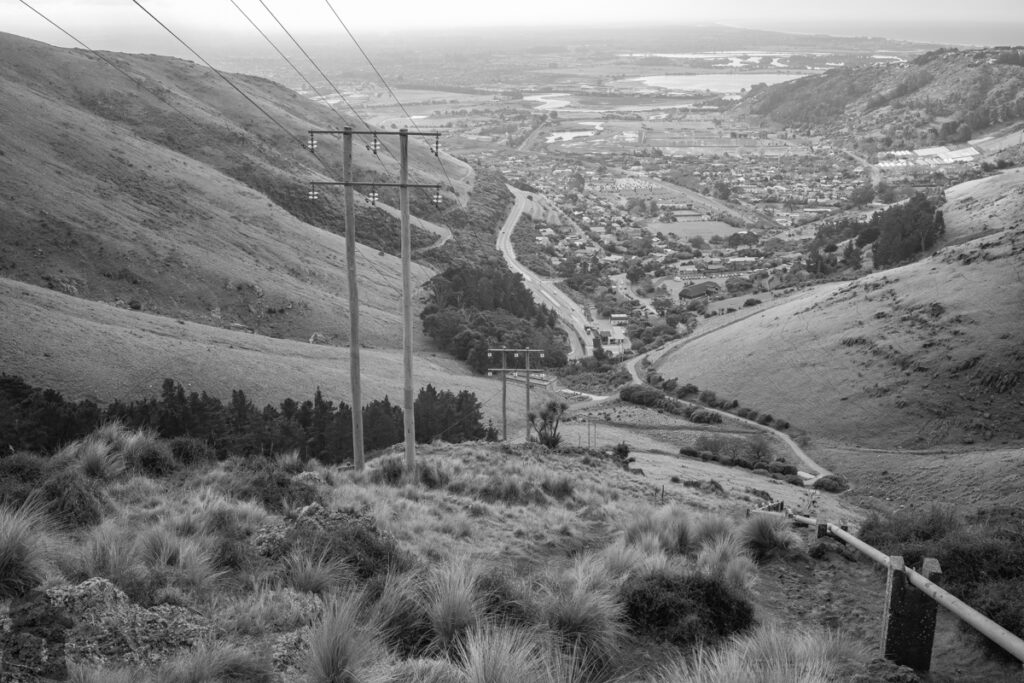
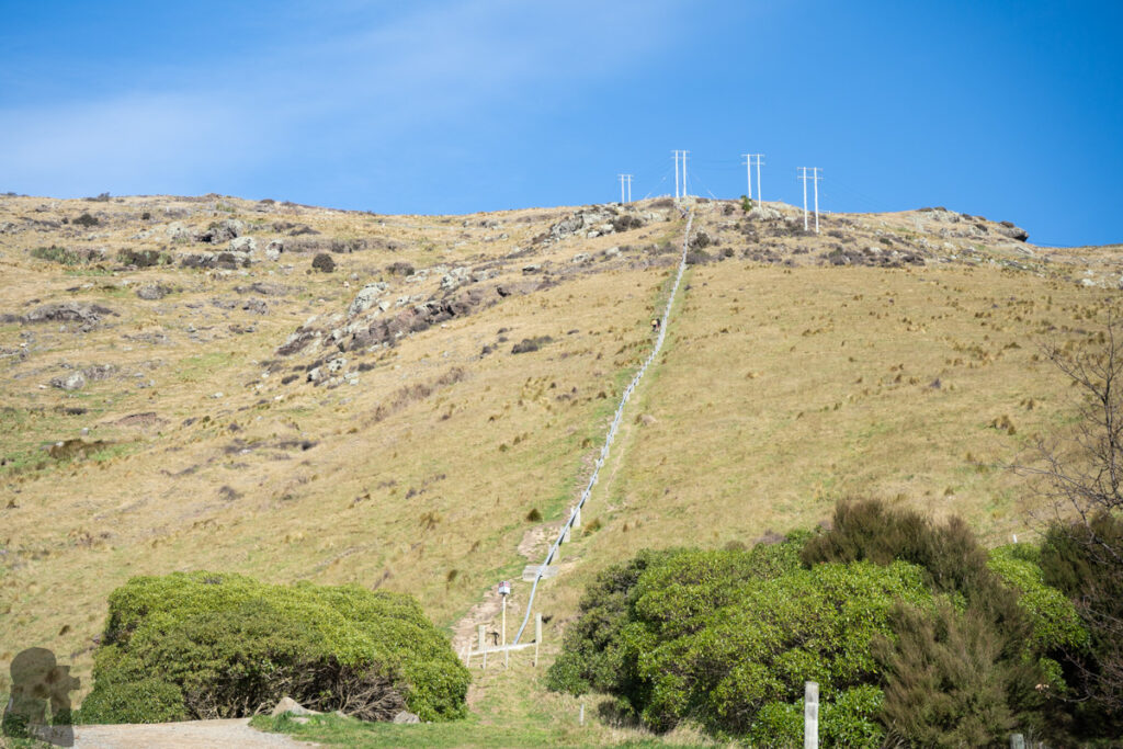
You may follow the current (the official) track to Summit Road, which will be on the well-formed track with a gentle to moderate gradient. Alternatively if seeking a challenge, you can find the farm gate to enter the pipeline route which you will climb along the pipes. This route, favoured by fit persons, is significantly steeper and may be more slippery than the official track. Although it looks like a shortcut on the map, but it is hard to say that you can reach Summit Road earlier by taking this route due to its unforgiving gradient.
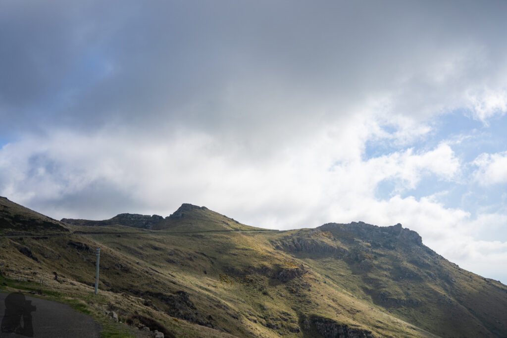
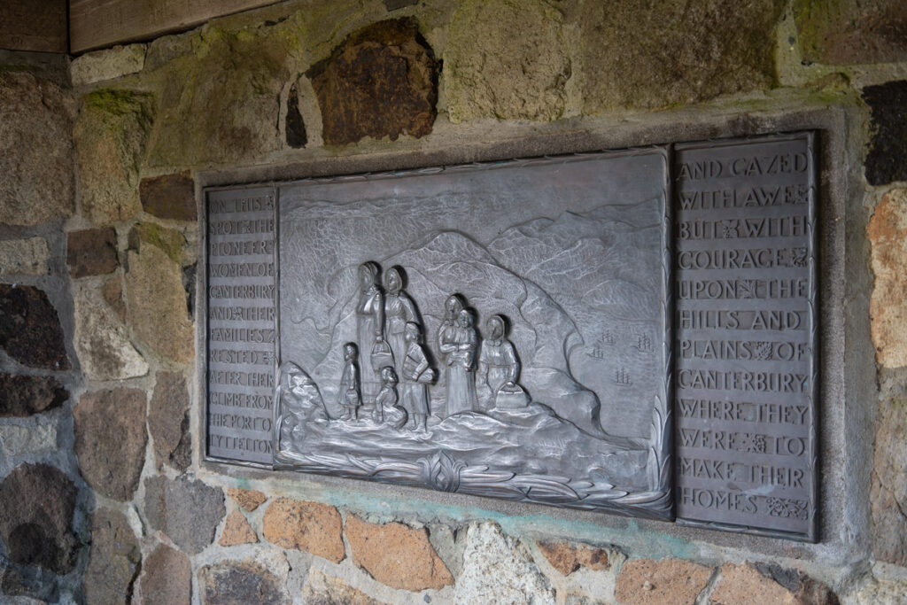
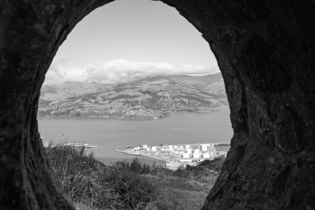
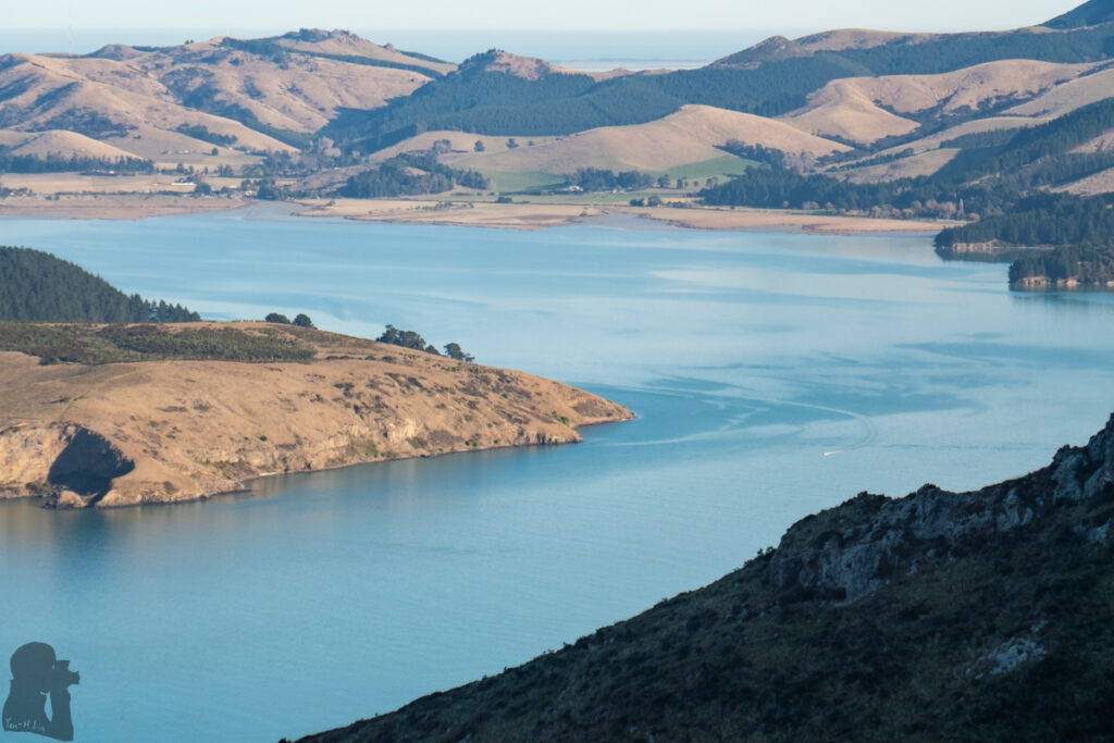
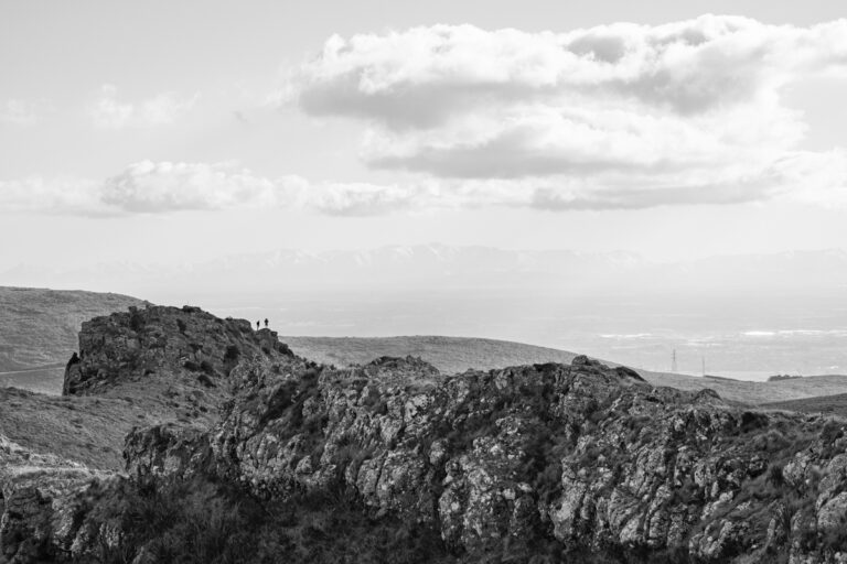
There are more places to see once you arrive Summit Road. I often headed west along the road looking for an ideal spot to take photos. Sometimes it was around Pioneer Women’s Memorial or as far as Te Moenga-o-Wheke / The Tors, on the opposite side of Te Tihi-o-Kahukura / Castle Rock. Only once or twice I went toward the gondola station as my tendency of avoiding people.
If you will not go to Lyttelton, you may return the same way or via the other way to add some variation to the walk. Climb the pipeline route and descend via the official track may be a safer combination particularly when the weather is not fine.
There were two periods of time that I went to Bridle Path several times a month. I hiked on the pipeline trail up and down for two to four times in a row with 30 to 40 kg load on me. That was a tough but practical exercise to prepare my multi-day hikes in Taiwan. I think this is the best trail, close to the city, steep enough and not too long, to execute a training for this purpose. On a hot sunny day, the grind can really build up some endurance.