
The content on this website is published in English. I cannot guarantee the quality of the translated text generated by the plugin of this website. The machine-translated “names” and “terminology” are often inconsistent and/or incorrect. If it looks confusing, please switch back to the English version.
This rating is primary for hiking in Taiwan but it may be also partially applicable to hiking (tramping) in New Zealand as the basics of hiking are universal. The difficulty rating of the hiking trails is only based on my subjective opinion and the rating for each trail on this website is just the impression from my limited experience.
This rating is mainly for a solo hiker who wishes to manage all matters of hiking without the assistance from anyone in the mountains. (If this hiker joins a guided hike or hire a mountain assistant, the difficulty rating of this particular trail may be reduced.)
This difficulty rating is only for the hiking activity which people follow an existing trail, not including any other possible outdoor activities around this trail such as off-trail hiking, trail running, rock climbing, ice / snow climbing, water sports, air sports…etc.
The transportation to arrive the trail heads is not a part of the rating. The possible weather condition is not a part of the rating either. But hikers must be aware that the bad weather including the presence of snow and ice increases the difficulty of hiking substantially and by staying in the mountains for a longer period of time the hiker is more likely to be exposed to any bad weather.
★☆☆☆☆ Easiest: This very popular trail is suitable for all levels of fitness, but people with mobility issues may find it not safe in some places. The trail is well-formed, marked and maintained frequently. There may be gentle gradient along the trail or some stairs. A few spots may be exposed but not result in considerable safety concern. Hikers can return to trail heads within several hours.
★★☆☆☆ Easy: This popular trail is suitable for hikers with average fitness and know the basics of hiking safety. The trail is well-formed, marked and maintained frequently but can be muddy or slippery. There are one or more steep sections along the trail. Scrambling may be required at some spots.
★★★☆☆ Advanced: This trail is for experienced hikers who have a basic level of navigation and route-finding skill and know how to stay safe in the mountains. A hiker who is at or above this level should be competent to multi-day hike. The trail is obvious to follow and marked but one or more sections of the trail may be steep and exposed or prone to damages by severe weather. Elevation gain in one day can be 1000 m or even more.
★★★★☆ Difficult: This trail is for experienced and fit hikers who are familiar with all of the essential hiking skills and have in-depth understanding of the topics mentioned in “Hiking Safety in Taiwan.” The trail may be steep, faint, overgrown or very exposed. Trail markers are not regularly maintained and sometimes it may be hard to find. Total self-sufficiency is required to hike on this trail.
★★★★★ Very difficult: This trails is for experienced and very fit hikers who have done multi-day hikes with self-sufficient manner for many times. Hikers of this level should master all the skills and knowledge mentioned in the “Hiking Safety in Taiwan.” The trail can be very steep and exposed; sometimes become difficult to follow because it is faint, overgrown, damaged or lack of markers. Trail markers may appear intermittently or are only present at the locations where necessary. There may be no shelters along the whole trail.
Hiking Trails in Taiwan
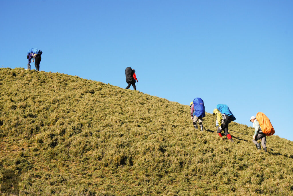
★☆☆☆☆ Easiest
Qixingshan (七星山), Shimenshan (石門山), Hehuanshan Main Peak (合歡山主峰), Neidong Falls (內洞瀑布群), Lion Cub (Xiaoshitoushan 小獅頭山), Xindian,
★⯪☆☆☆ 1.5
Keelung Mountain (基隆山), Datunshan & Miantianshan (only the easiest tracks) (大屯山 & 面天山), Teapot Mountain (無耳茶壺山),
★★☆☆☆ Easy
Hehuan East Peak (合歡東峰), Hehuan North Peak (合歡北峰), Hehuan Jianshan (合歡尖山), Xiaozishan & Cimufeng (孝子山 & 慈母峰), Hero Pavilion, Chaishan (柴山好漢亭), Yinghanling, Guanyinshan (觀音山硬漢嶺), Dulanshan (都蘭山), Zhuilu Old Road (錐麓古道),
★★★☆☆ Advanced
Hehuan West Peak (合歡西峰), Yushan Front Five Peaks (玉山前五峰), Beidawushan (北大武山), Beichatianshan (北插天山), Nanhudashan (南湖大山), Dabajianshan (大霸尖山), Baliwanshan (八里灣山),
★★★⯪☆ 3.5
Qilaishan Main & North Peak (奇萊主北), Yushan South Ridge (玉山南稜), Yushan Rear Four Peaks (玉山後四峰), Sinkang Trail (新康橫斷), Bilushan-Yangtoushan (Mt. Bilu – Mt. Yangtou 畢祿羊頭), Xueshan-Zhijiayang Trail (雪山志佳陽),
★★★★☆ Difficult
Xueshan (snow hiking) (雪山雪季), Nanhudashan (snow hiking) (南湖大山雪季), Xueshan West Ridge (West Xue Trail 雪山西稜), Holy-Ridge: Shengleng “O” Trail (O聖), South Section 2 (南二段), North Section 1 (北一段), Qilai North Face to Pingfengshan (奇萊北壁下屏風), Qilai Range (奇萊連峰), Xuejian Trail (雪劍縱走),
★★★★⯪4.5
North Section 2 (北二段), Qilai East Ridge (奇萊東稜), Mabolasih Trail (馬博橫斷),
★★★★★ Very difficult
South Section 3 (南三段), Ganzhuowan Peaks (干卓萬群峰), Death Ridge (死亡稜線), South Section 1 (南一段), Qilaishan North Peak (snow season) (雪季奇萊北峰), Nenggao – Andongjun Trail (能高安東軍),
Hiking Trails in New Zealand
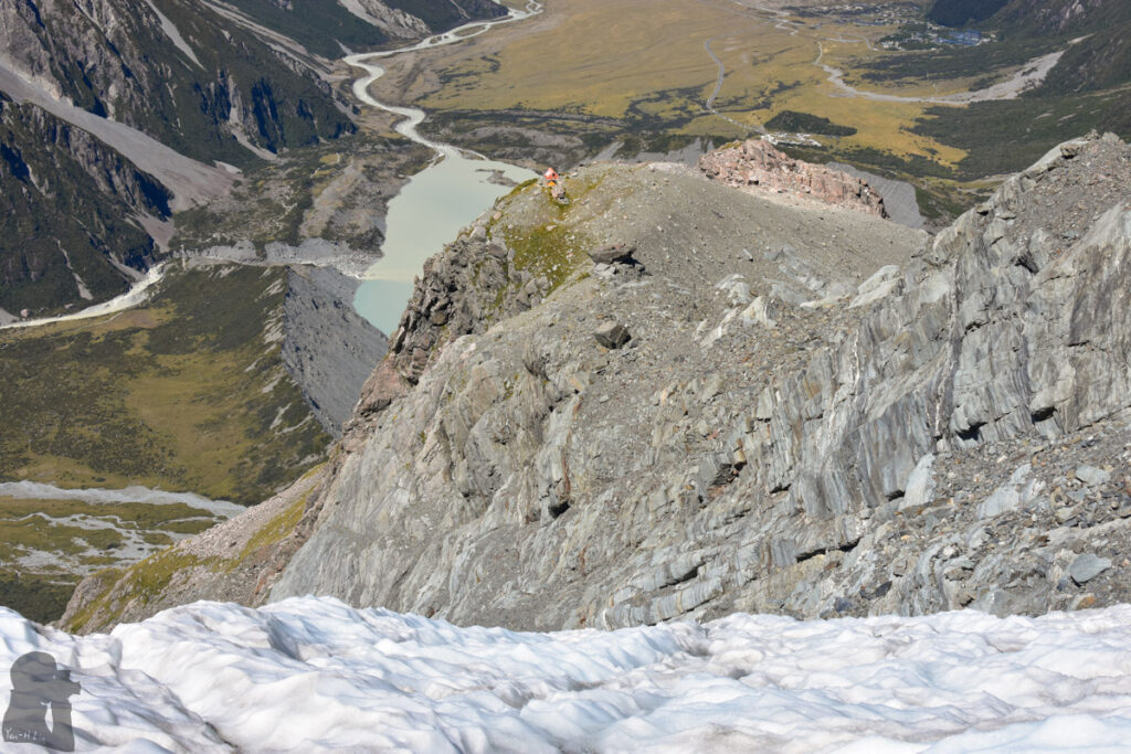
★☆☆☆☆ Easiest
Bridle Path and The Tors (the official track from the gondola to Summit Road), Hooker Valley Track, Tasman Lake Track, Mt. John (Lake Tekapo), Mt. Sunday (the Edoras), Mauao / Mount Maunganui, Maungarei / Mt Wellington,
★⯪☆☆☆ 1.5
Trig-M Route, Lake Alta (The Remarkables Ski Area),
★★☆☆☆ Easy
Bridle Path and The Tors (via the pipeline route to Summit Road), Bealey Spur Track to Pt 1048, Mount Herbert / Te Ahu Pātiki, Mt. Guy & Lake Clearwater, Peak Hill ( Lake Coleridge), Mt. Fyffe (Kaikōura), Little Mt. Peel / Huatekerekere,
★★⯪☆☆ 2.5
Alex Knob, Pinnacles Walk / Kauaeranga Kauri Trail, Roys Peak, The saddle above Lake Alta (Wye Creek Route, The Remarkables Ski Area),
★★★☆☆ Advanced
Faust (Return to the same way), Tongariro Northern Circuit, Lake Angelus, Avalanche Peak, Mueller Hut and Mt. Ollivier, Blue Lake via Travers-Sabine Circuit, Brewster Hut, Foggy Peak & Castle Hill Peak, Big Ben (Big Ben Range), Ben Lomond (Queenstown), Wye Creek Basin (The Remarkables),
★★★⯪☆ 3.5
Sefton Bivouac (Sefton Bivvy), Gertrude Saddle Route, Blue Lake on Sabine Track-Moss Pass-D’Urville Track, Valley of the Trolls / Lake Wilson (via Routeburn Track), Lake Mavis (Goat Pass), Corner Peak Route, Camping under The Apprentice (via Lewis Tops Track), Camping in the head of Deer Valley (via Lewis Tops Track),
★★★★☆ Difficult
Sentinel Peak, Mt. Bealey – Avalanche Peak Traverse, Barrier Knob camping, Cameron Hut Route, Mt. Armstrong or Brewster Glacier (via Brewster Hut), Brewster Glacier, Little Mt. Peel / Huatekerekere (winter condition), Camping on The Remarkables (under Double Cone),
★★★★★ Very Difficult
Falls Creek Route (Fiordland),



