Nanhudashan (南湖大山), the Lofty Mountain with the Bequest of Past Glaciation
The content on this website is published in English. I cannot guarantee the quality of the translated text generated by the plugin of this website. The machine-translated “names” and “terminology” are often inconsistent and/or incorrect. If it looks confusing, please switch back to the English version.
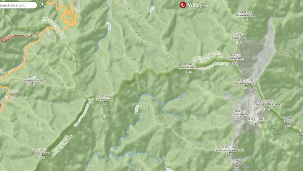
Disclaimer: Information such as the locations or the trails shown on the maps of this website might be inaccurate, misleading or out-of-date. They are only the simple illustration for the ranges of the hiking trails or the points of interest. Please prepare your own navigation device, apps, topo maps, and GPX files for hiking.
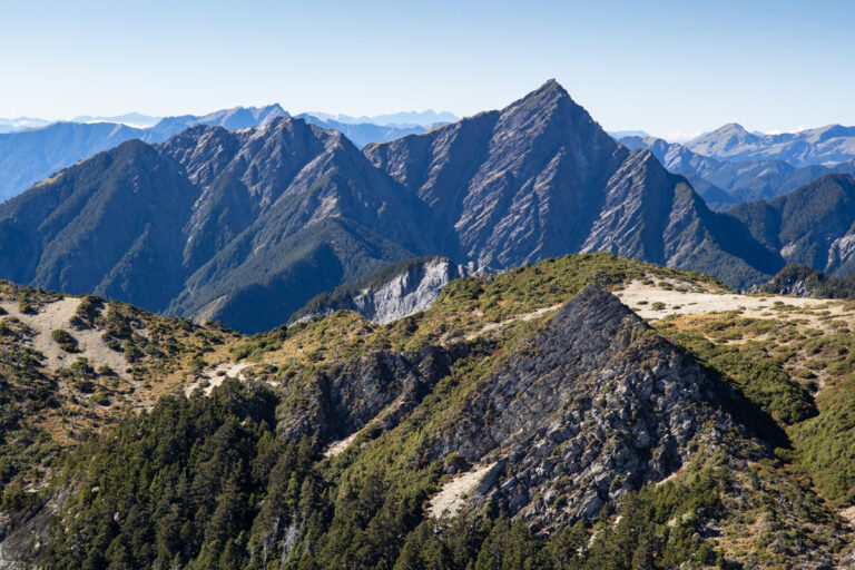
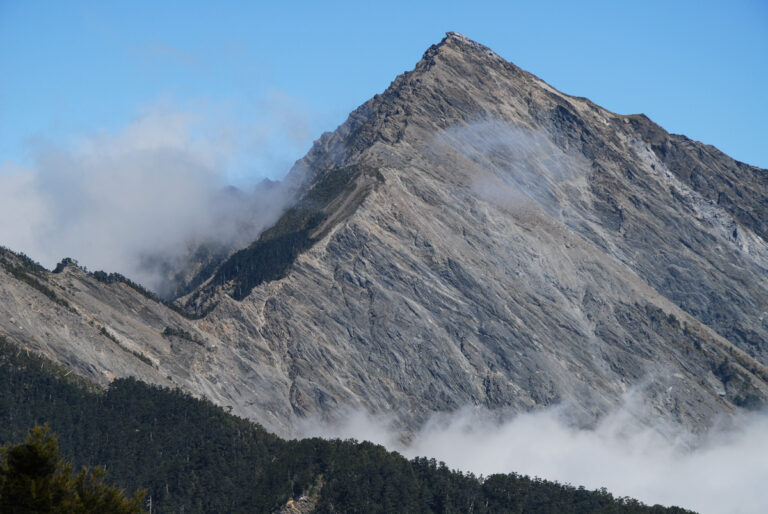
Nanhudashan (南湖大山) is the mountain on my list of the top five high mountains in Taiwan. It is so iconic that its image is on the NTD 2000 banknote, the highest face value in Taiwan (although it is rare to see people using it).
Nanhudashan is on the hiking trail, North Section 1, Central Mountain Range (北一段), located in Taroko National Park. Instead of completing the whole North Section 1, many people, particularly not very experienced ones, only hike to Nanhudashan and return via the same way on their first trip to this Baiyue. Hikers may or may not go to other mountains of North Section 1 in the future; it all depends on how keen they are to complete all of the ascents for Baiyue. But the climb to Nanhudashan can be a good touchstone for more difficult hikes in Taiwan.
On the way to Nanhudashan there are two short side trails to Shenmazhenshan (審馬陣山) and Nanhu North Mountain (or Nanhubeishan 南湖北山), also listed on Baiyue, but the magnificent scenery around Nanhudashan is the main course which impresses all the generations of hikers.
I got special memory from this trail in the past 15 years. That is where I saw the relic of glaciation, two gorgeous cirques, for the first time, the playground of snow, the place my partner and I shot our own wedding portraits, the first multi-day solo hiking on North Section 1, and the first time I accidentally smashed my phone’s screen, on a recent hike in 2025. As a photography hobbyist, I would rank Nanhudashan as the top mountain for taking photos. After six visits, there is still much undiscovered for me.
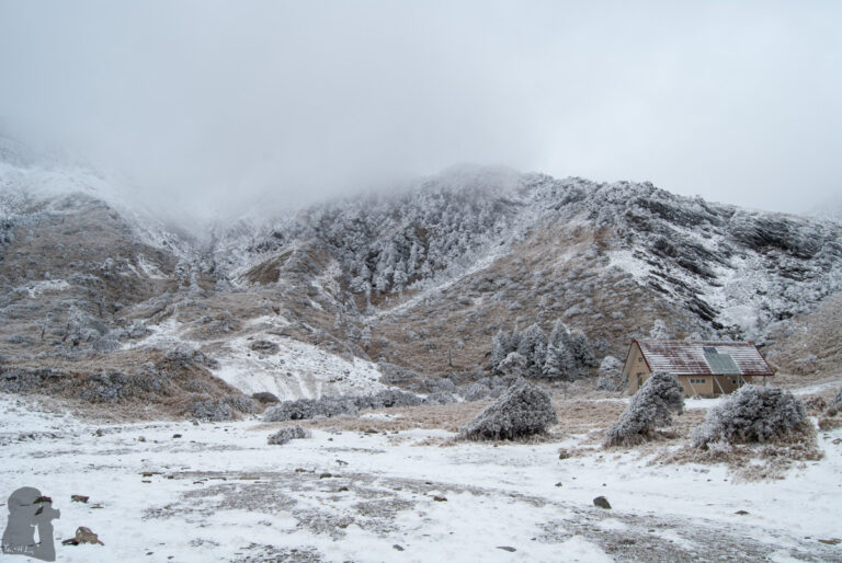
However, the hike to Nanhudashan is not beginner-friendly and actually it is more suitable for fit and experienced hikers who know how to take care of themselves during a multi-day hike. It is not unusual to hear sick or injured hikers were air-lifted. In additional to the strenuous ascent, the trail is exposed to elements above the treeline. This area is also one of alpine trails that snowfall and icy condition occur frequently in winter.
In the past few years, probably right after the pandemic, because the surge of the hiking population, there are catering and gear hiring service provided by a company. Hikers need to book the service in advance. Just remember you still need to bring all the essential gears with you to keep safe and warm.
For a solo hiker or saving some money, it is possible to arrive the trail heads along the Highway 台7甲 by public transportation. The bus routes, 1764 and 1751, can take you to either Shengguang (勝光) or Siyuan (思源). Please check their timetable using iBus Information System. The trail head at Shengguang is a much more popular option than the official Siyuan trail head. And actually I have not been Siyuan trail head for a single time before. You can find more posts about Nanhudashan on this website, the “North Section 1” and “the Majestic Playground of Snow in the Cirques.”
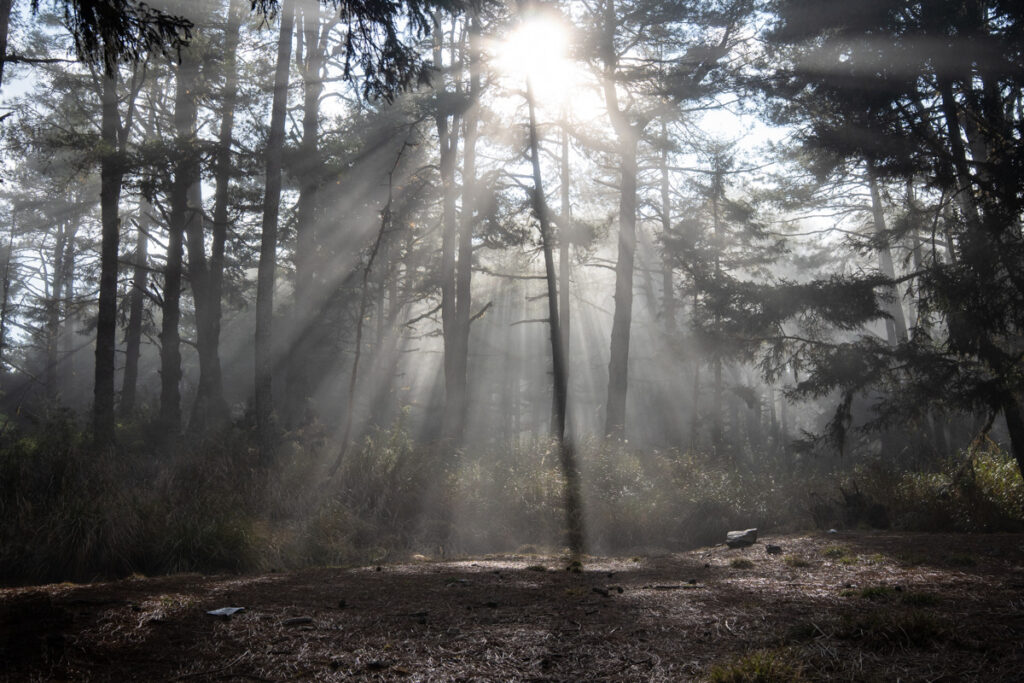
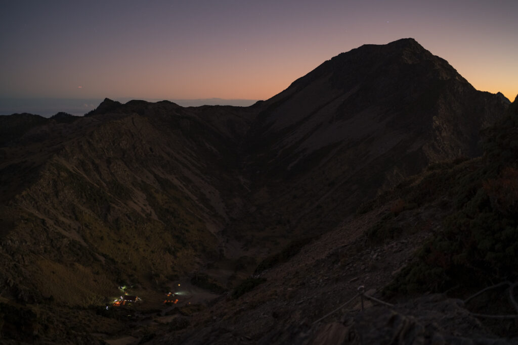
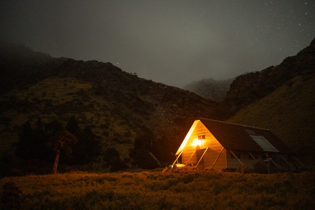
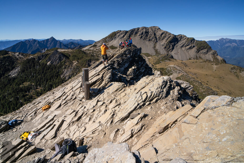
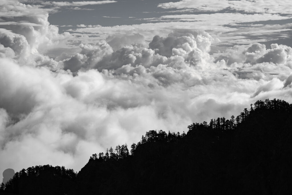
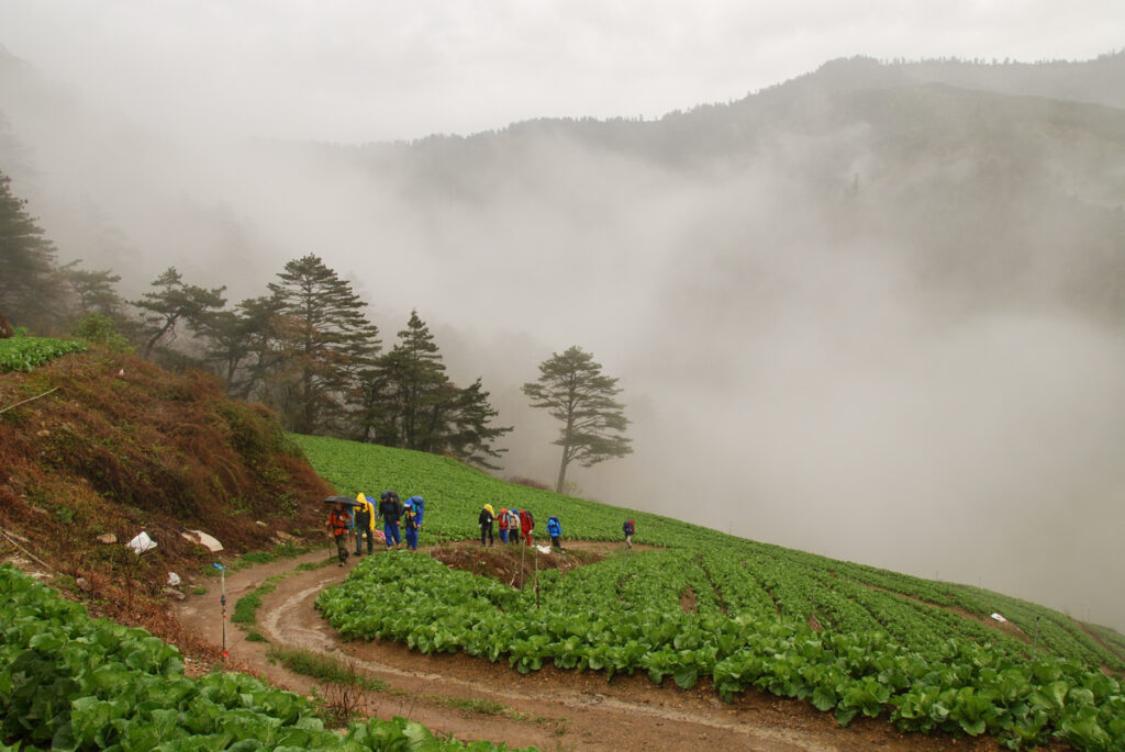
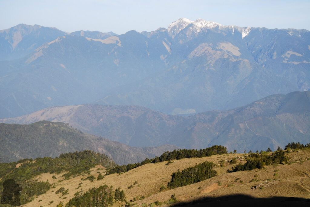
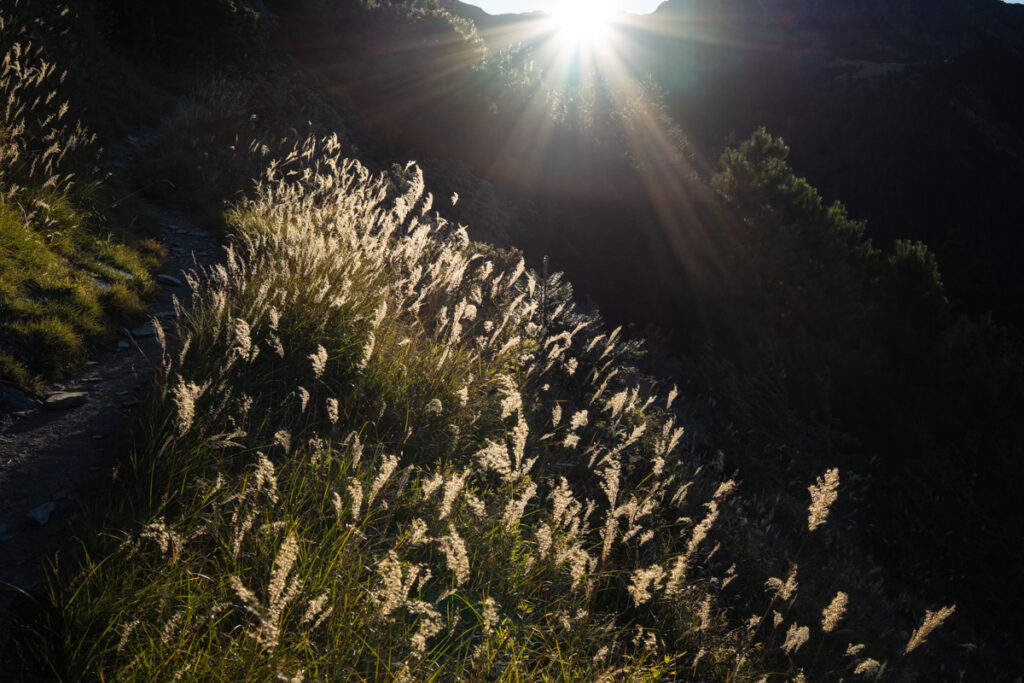
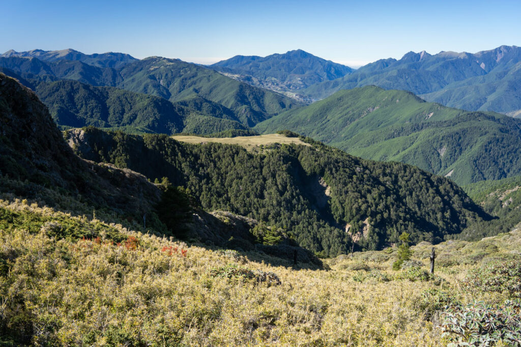
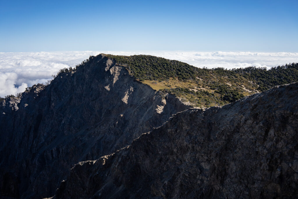
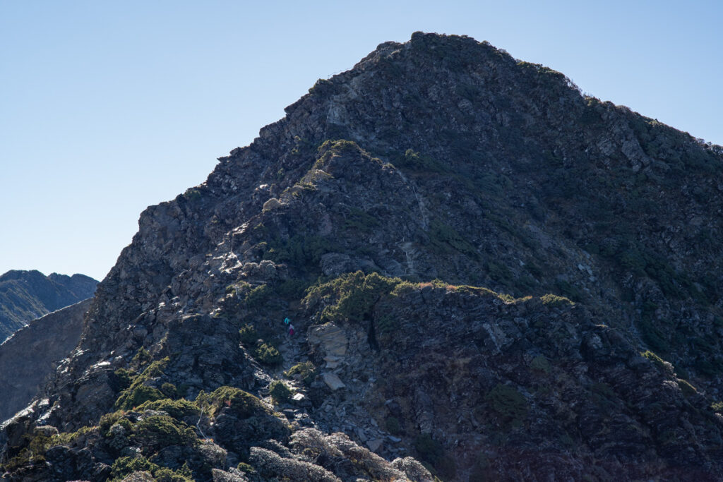
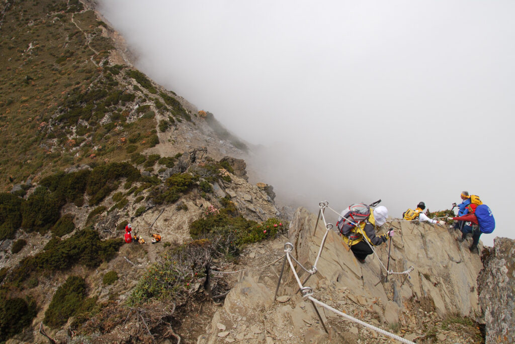
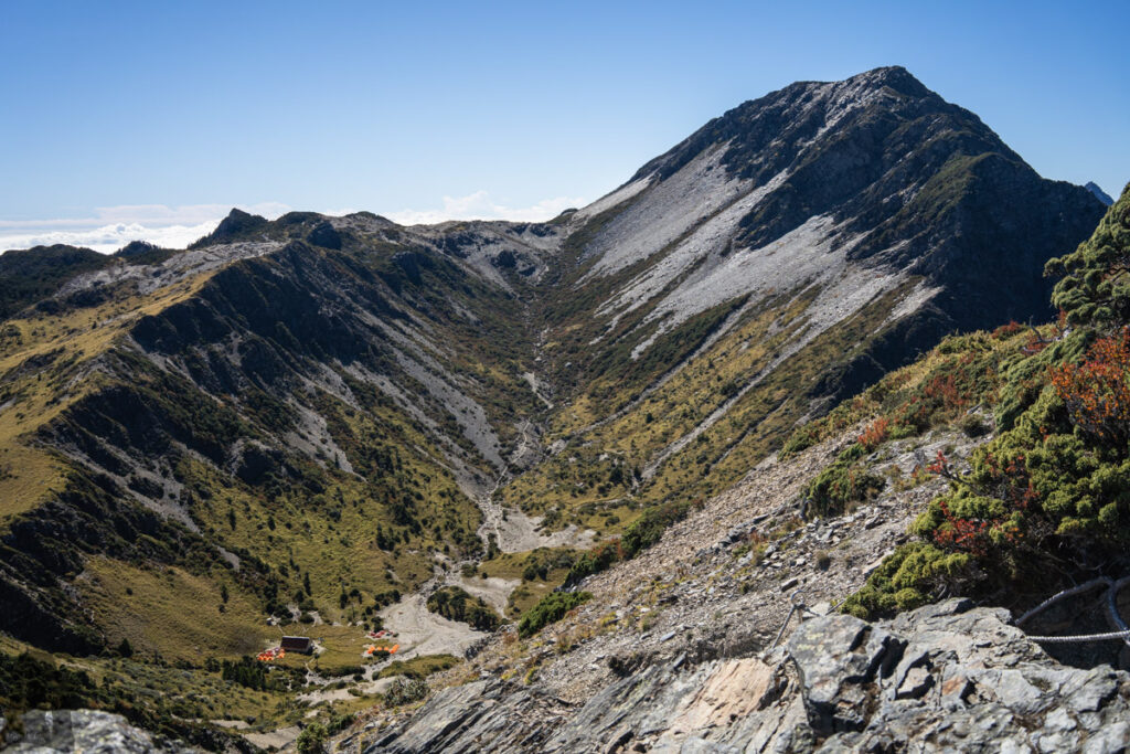
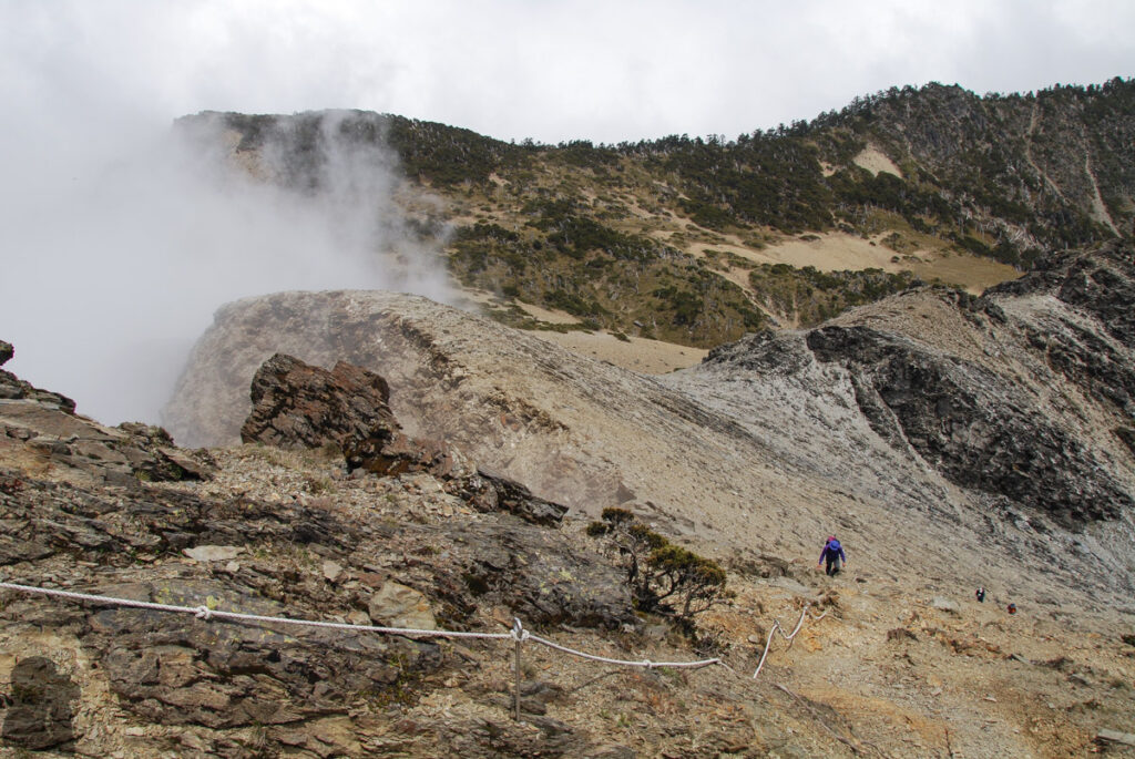
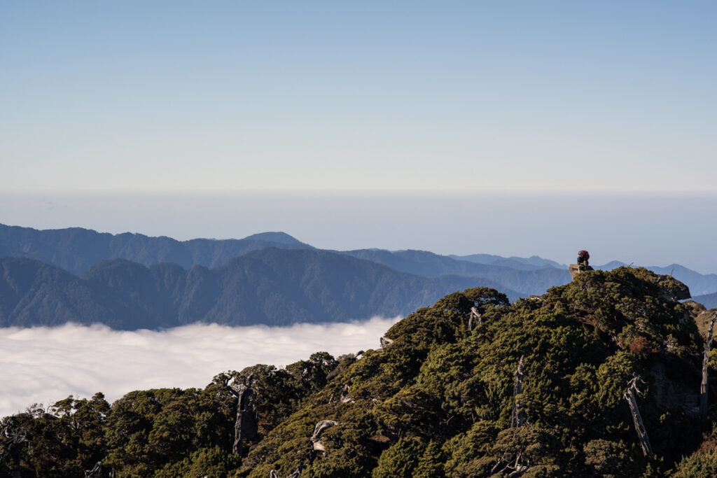
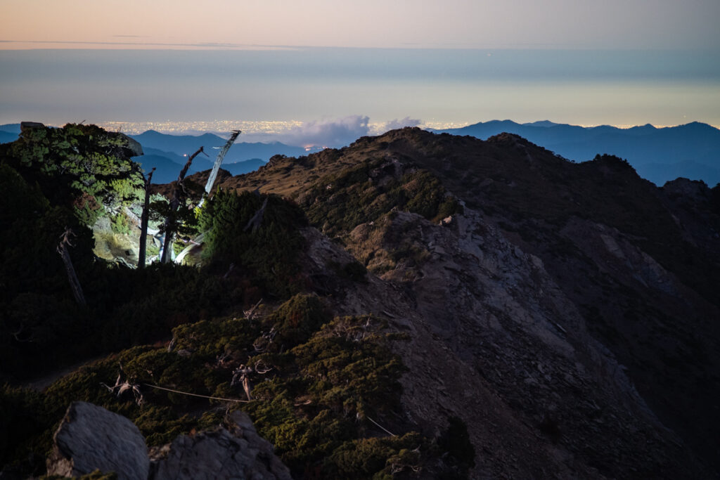
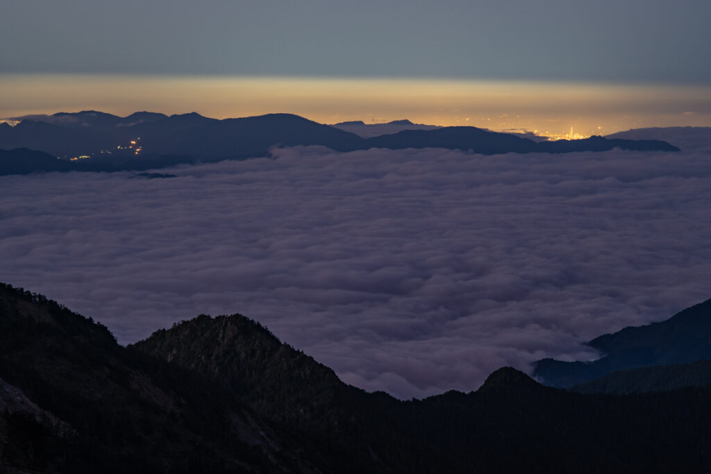
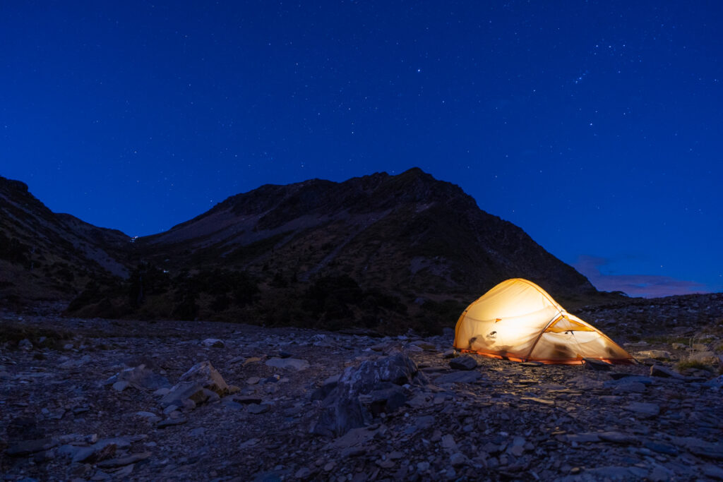
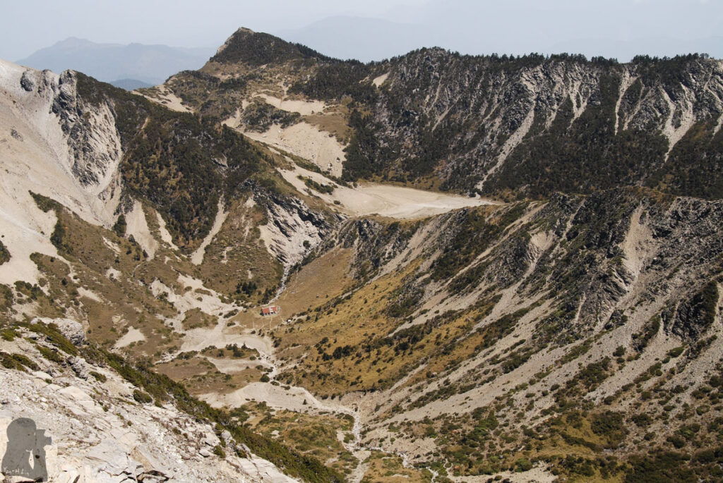
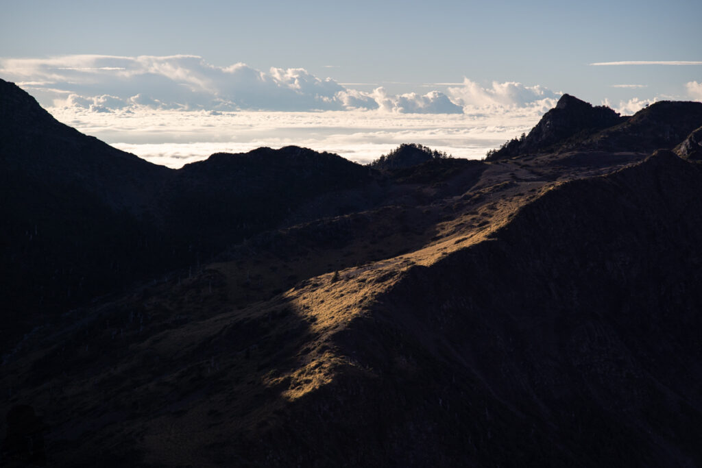
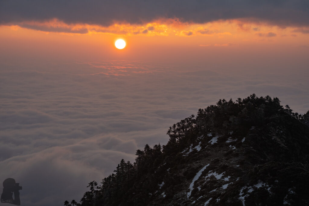
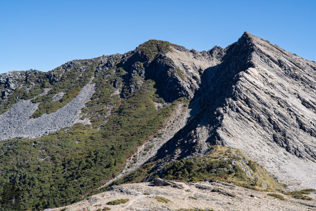
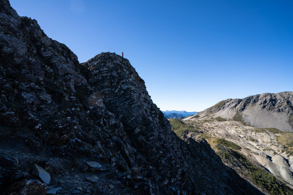
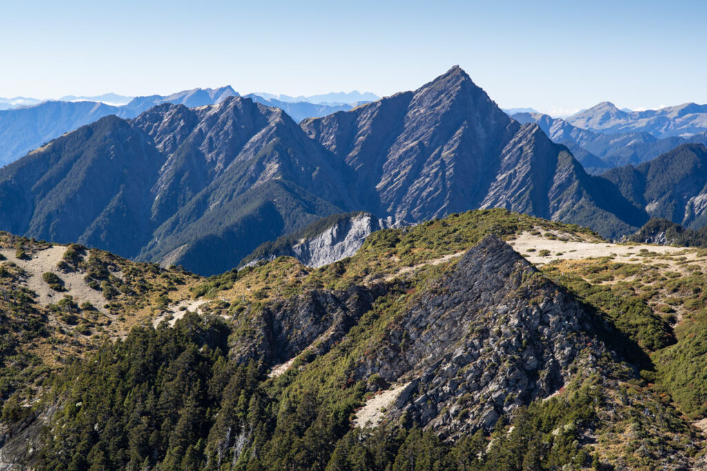
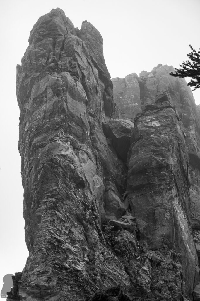
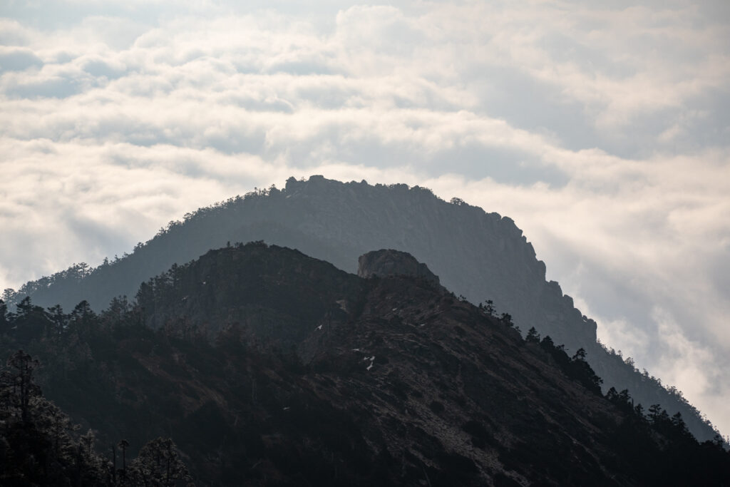
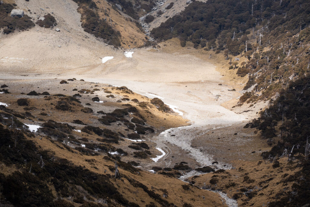
The first section of the hike after the trail head at Shengguang (勝光) is an uphill walk on a farm road passing a private orchard and cabbage farm. On a hot summer day, just this section could drain me.Snow-capped Xueshan (Snow Mountain 雪山); the photo was taken at Duojiatunshan (多加屯山) during my first hike to Nanhudashan on 30th April, 2010. There was a sudden snowfall on some high mountains, which was unusually late in Taiwan.The campsite of Yunleng Cabin (雲稜山屋)Once climbing above the treeline, the view from Xue Mountain Range (雪山山脈) is unfolded for you at Shenmazhen Grassland (審馬陣草原).The prominent peak of Zhongyangjianshan (中央尖山) on the left represents the other high point on the North Section 1.Baigudashan (白姑大山), also one of the Baiyue, in the distant background and its surrounding peaks are a part of Xue Mountain Range.Nanhudashan Northeast Peak, a place I have not been yet.Wuyanfeng (五岩峰), the narrow and precipitous ridge between the trail junction of Nanhu North Mountain and Nanhu North Peak (南湖北峰) (they are two different peaks, please don’t be confused by their names).Wuyanfeng is exposed to height, strong wind and may be icy at times. It is generally the most exciting section before Nanhudashan.The view when you arrive Nanhu North Peak after negotiating Wuyanfeng; Nanhu Lower Cirque (南湖下圈谷), the cabin and Nanhudashan are in this picture. You will need ultra-wide lens to capture the panorama including Nanhu Upper Cirque and the Nanhu East Peak (南湖東峰).The way to Nanhu Cabin is on a loose scree slope; not very hard to walk down, it just takes some patience and a steady pace.Nanhu North Peak; the trail going down to Nanhu Cabin looks incredibly steep. There were many tents pitched around the cabin but most of them were not in use. The photo was taken in 2022, a peak time of upsurge in hiking after the pandemic.I climbed back to Nanhu North Peak after my afternoon tea; this is a great spot to take pictures. Most hikers will have a proper break here before going down to the cirque; but I guess almost none of them are willing to come back after settling down in the cabin or tents because of the strenuous uphill walk.Behind layers and layers of clouds, the most famous building in Taiwan, Taipei 101, shined from 74 km away, not something we can see everyday.The cirque at twilight; light of headlamps from hikers, mountain porters and contractors formed a mini community.Before the dawn, hikers already moved toward Nanhudashan or the East Peak.On the top of Nanhudashan; the Upper and Lower Nanhu Cirques; There was a debate about the origin of this unusual terrain; the study suggests they are U-shaped valleys created by the glaciation in the past. As it is generally very warm in Taiwan, the result is probably beyond our imagination that glaciers existed in Taiwan long long time ago.The hill separates Nanhu Upper and Lower Cirque.Nanhudashan East PeakI followed a shorter route along a steep gully to Nanhu East Peak; the last section before the summit was risky, no room for an error.The guide and his clients at Nanhu East PeakZhongyangjianshanNanhu East PeakTaosaifeng (or Taosai Peak 陶塞峰) is so gigantic that no one will miss it if you are heading to Mabishanshan (馬比杉山) via the trail on the ridge after Nanhu East Peak.Nanhu Southeast Peak (南湖東南峰) is not far away from Taosaifeng but I have not been there. I’ll leave it for the next time.Nanhu Upper Cirque was quiet during each time I was there.Back to Nanhudashan in February 2025, the cirque was so silent that I occupied it myself for one day and then the other guy joined me on the following day. Those tents I saw in 2022 were gone probably because it was during the off peak season or the hiking fever in Taiwan finally diminished.Orange-roofed Shengguang Police Station (勝光派出所) by the highway; the location I got on and off the buses.
To provide the best experiences, we use technologies like cookies to store and/or access device information. Consenting to these technologies will allow us to process data such as browsing behavior or unique IDs on this site. Not consenting or withdrawing consent, may adversely affect certain features and functions.
Functional
Always active
The technical storage or access is strictly necessary for the legitimate purpose of enabling the use of a specific service explicitly requested by the subscriber or user, or for the sole purpose of carrying out the transmission of a communication over an electronic communications network.
Preferences
The technical storage or access is necessary for the legitimate purpose of storing preferences that are not requested by the subscriber or user.
Statistics
The technical storage or access that is used exclusively for statistical purposes.The technical storage or access that is used exclusively for anonymous statistical purposes. Without a subpoena, voluntary compliance on the part of your Internet Service Provider, or additional records from a third party, information stored or retrieved for this purpose alone cannot usually be used to identify you.
Marketing
The technical storage or access is required to create user profiles to send advertising, or to track the user on a website or across several websites for similar marketing purposes.
To provide the best experiences, we use technologies like cookies to store and/or access device information. Consenting to these technologies will allow us to process data such as browsing behavior or unique IDs on this site. Not consenting or withdrawing consent, may adversely affect certain features and functions.
Functional
Always active
The technical storage or access is strictly necessary for the legitimate purpose of enabling the use of a specific service explicitly requested by the subscriber or user, or for the sole purpose of carrying out the transmission of a communication over an electronic communications network.
Preferences
The technical storage or access is necessary for the legitimate purpose of storing preferences that are not requested by the subscriber or user.
Statistics
The technical storage or access that is used exclusively for statistical purposes.The technical storage or access that is used exclusively for anonymous statistical purposes. Without a subpoena, voluntary compliance on the part of your Internet Service Provider, or additional records from a third party, information stored or retrieved for this purpose alone cannot usually be used to identify you.
Marketing
The technical storage or access is required to create user profiles to send advertising, or to track the user on a website or across several websites for similar marketing purposes.