The content on this website is published in English. I cannot guarantee the quality of the translated text generated by the plugin of this website. The machine-translated “names” and “terminology” are often inconsistent and/or incorrect. If it looks confusing, please switch back to the English version.
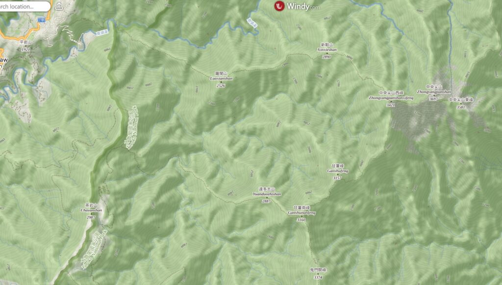
Disclaimer: Information such as the locations or the trails shown on the maps of this website might be inaccurate, misleading or out-of-date. They are only the simple illustration for the ranges of the hiking trails or the points of interest. Please prepare your own navigation device, apps, topo maps, and GPX files for hiking.
About the Route of Death Ridge
The difficulty rating: ★★★★★
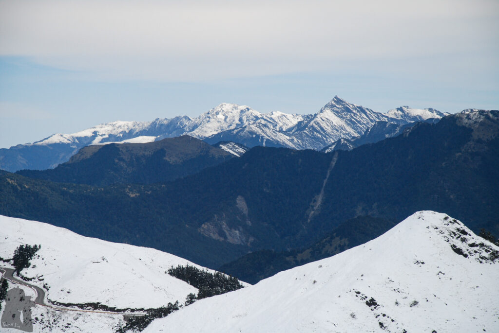
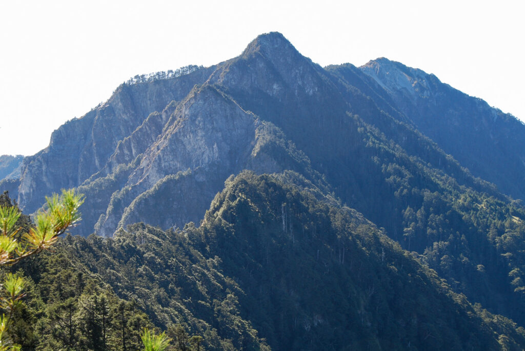
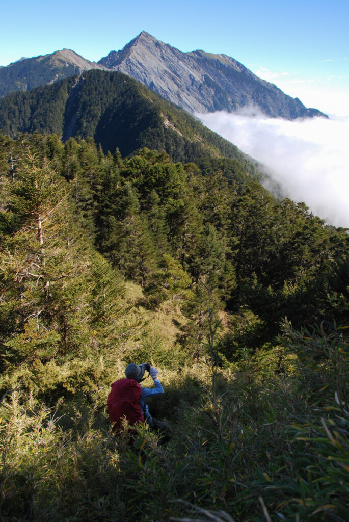
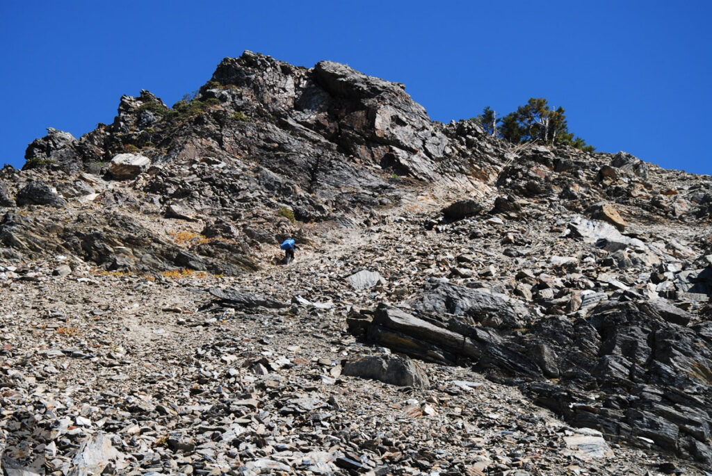
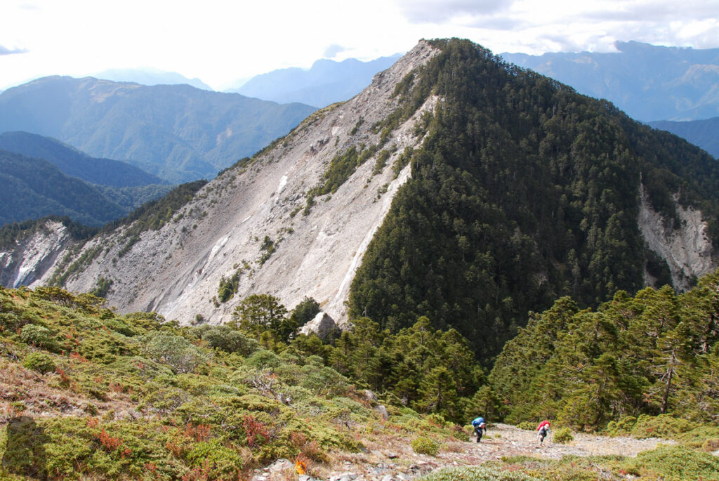
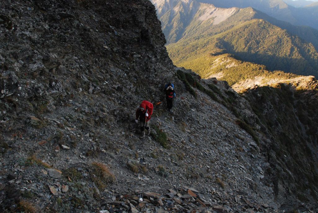
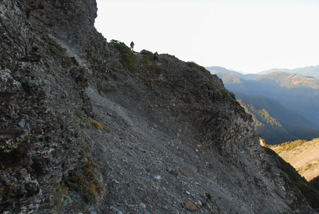
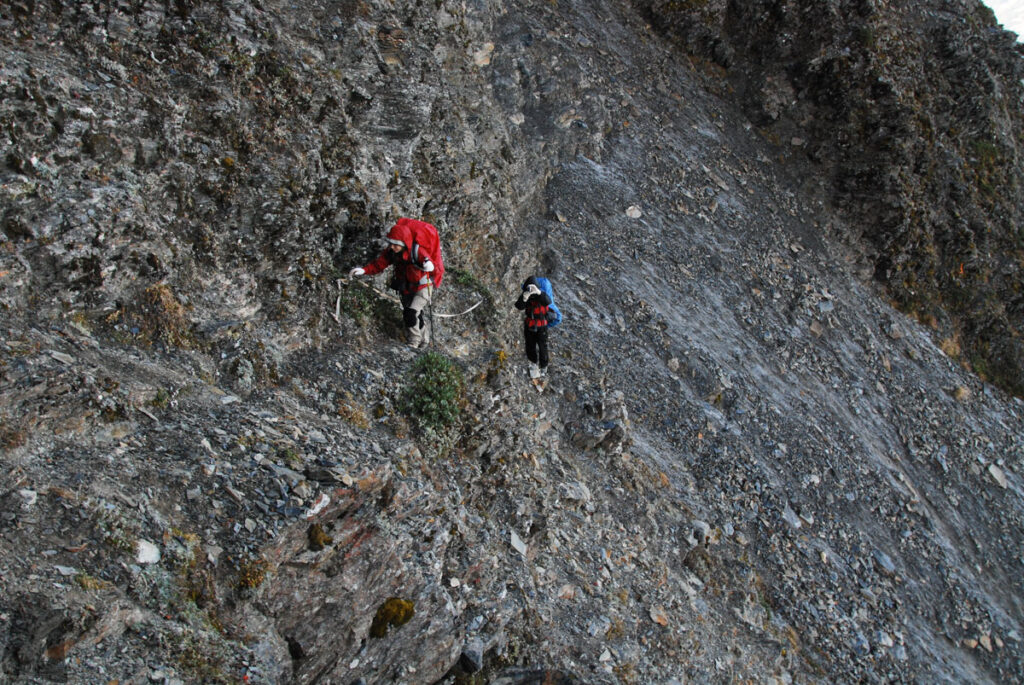
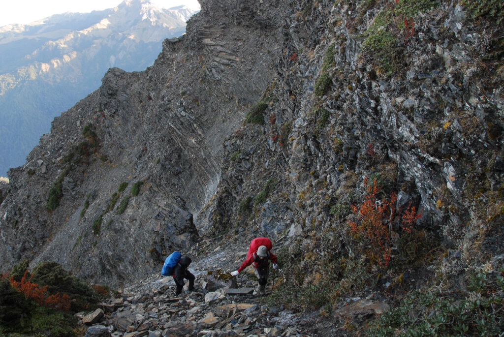
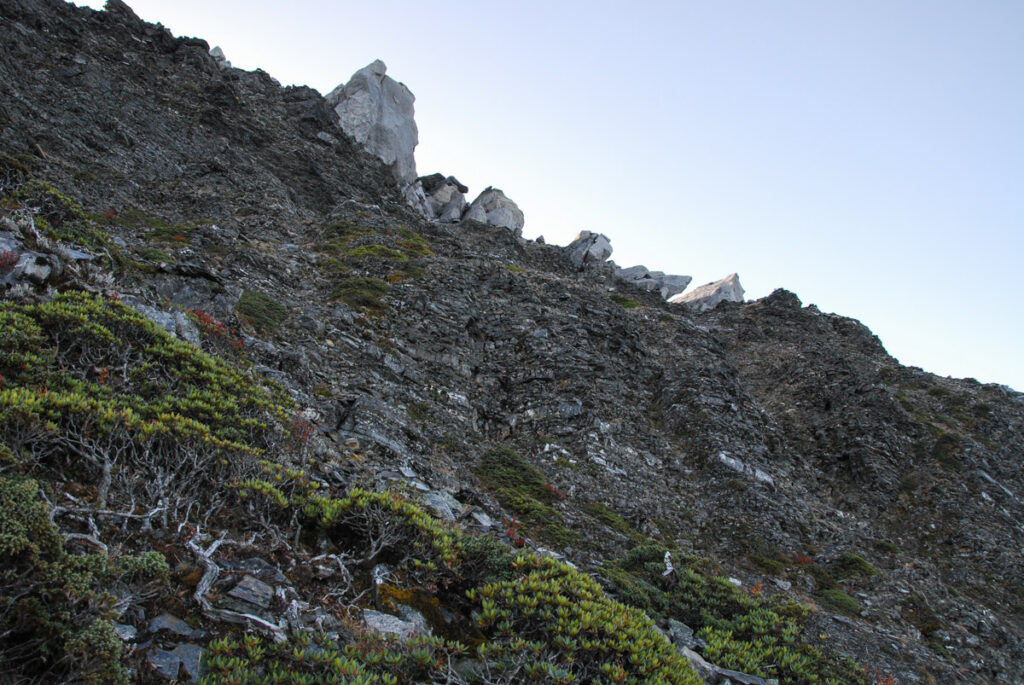
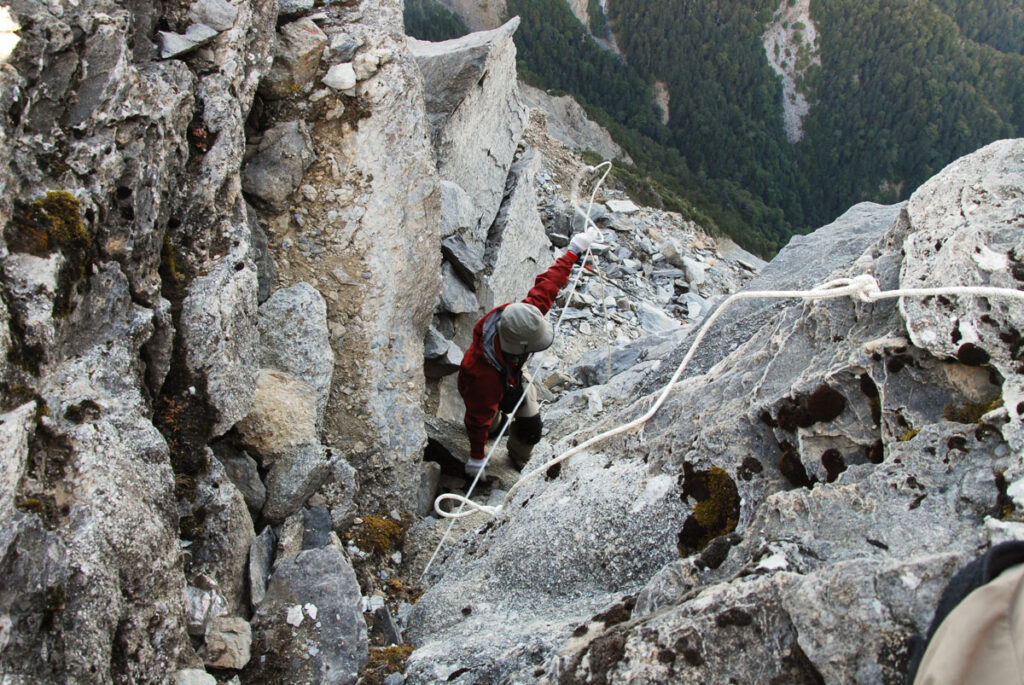
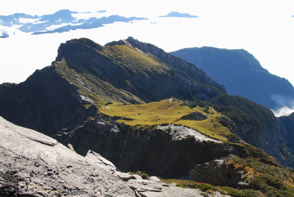
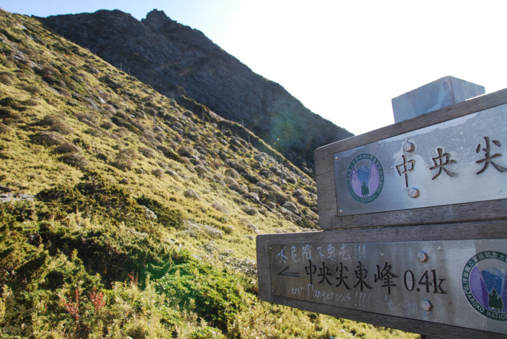
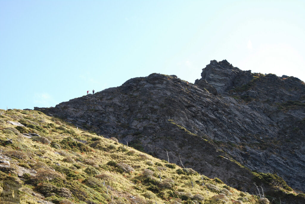
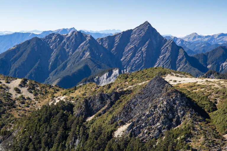
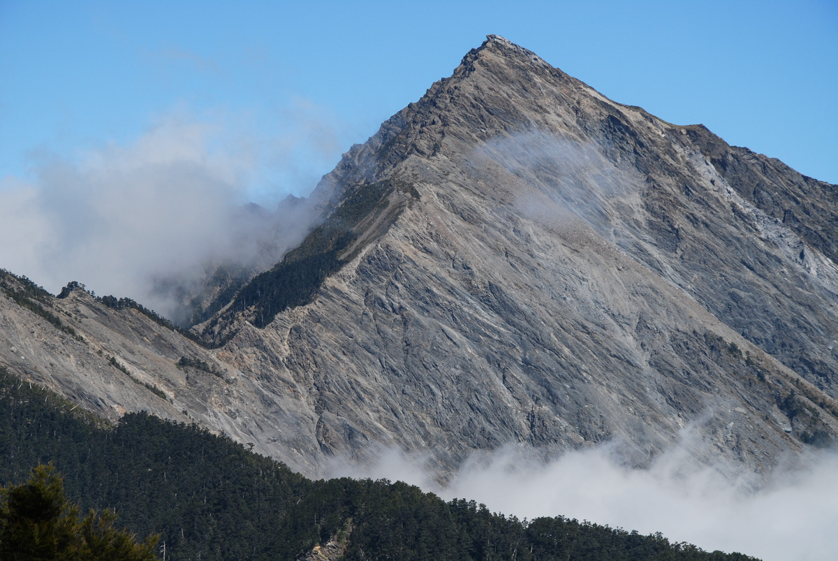
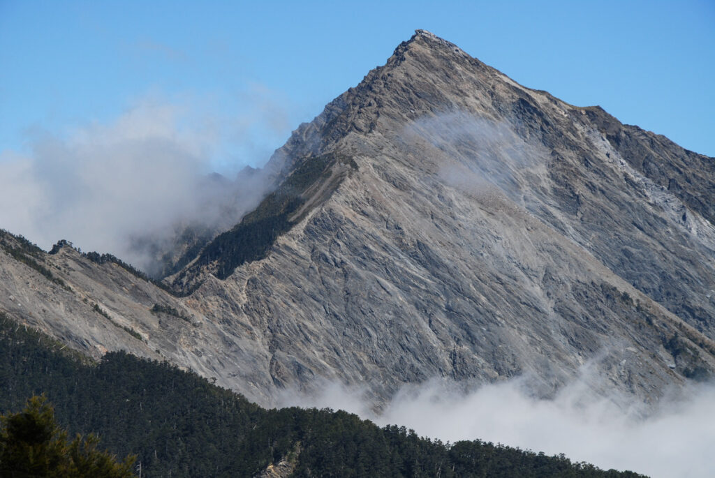
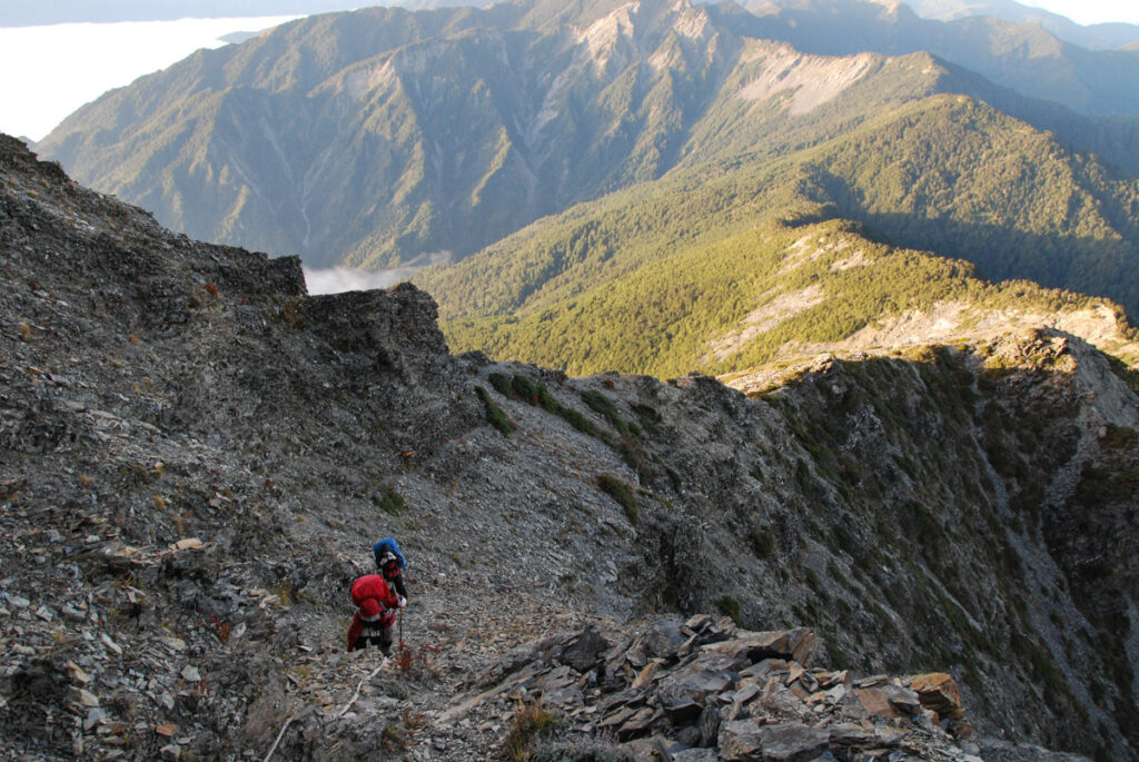
The “Death Ridge” (死亡稜線) is the ridge between Zhongyangjianshan (中央尖山) and Zhongyangjianshan West Peak (中央尖山西峰). This name is probably more from its formidable look and the difficulty to travel along this ridgeline rather than the number of casualty occurred there.
It is the highlight of the route which connects North Section 1 and North Section 2 (北一段、北二段), the section between Zhongyangjianshan and Ganshufeng (or Ganshu Peak 甘藷峰). Given there is no Baiyue mountain on the section, conventionally hikers only complete either the North Section 1 or 2 on separated hikes. Although a long hike including both trails is possible but this will increase the difficulty significantly and hikers will need to carry much heavier supplies with them.
For hikers who wish to visit Death Ridge, an shorter and easier plan is only to hike a part of North Section 1 and North Section 2. This means the hikers can begin from either trail head and once they arrive either Zhongyangjianshan or Ganshufeng after passing the Death Ridge, simply go down via the shortest route to the other trail head (without going to other Baiyue mountains).
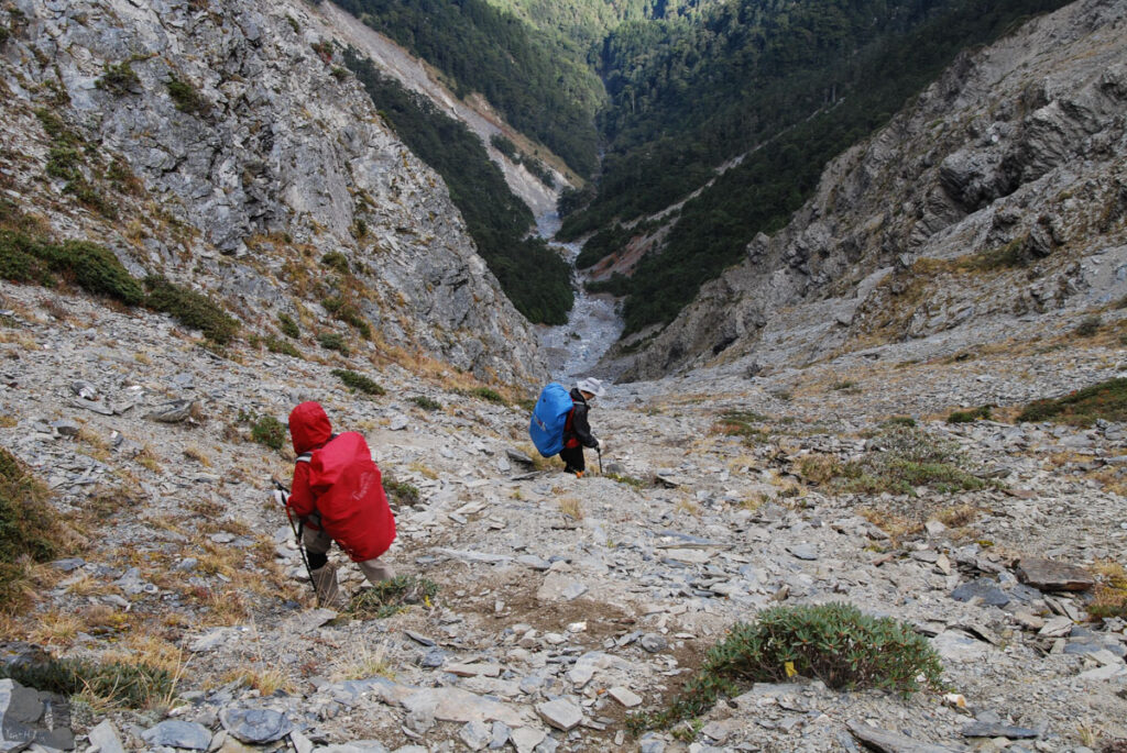
So basically you can hike from North Sections 2 to North Section 1 or the other way around. It is up to personal preference. But we chose to start the hike from the side of North Section 2. In this way, we ascended the Death Ridge to reach Zhongyangjianshan and before this section we also climbed up a risky slope to reach Zhongyangjianshan West Peak. I think to travel on the dangerous terrain like this, moving uphill should be safer than moving downhill. If you choose to hike from the North Section 1 side, just be aware of the risk from descending on steep and exposed terrain.
This is the hike I did many years ago. I have no idea if the trail has been easier to follow or if more ropes were installed at the dangerous places. But this hike essentially is a difficult one. You must be fully-prepared for it. I strongly recommend reading through the article “Hiking Safety in Taiwan” on this website before your adventure. And find more recent trip reports for the update.
The Hike in 2014
In November 2014 I invited two good friends from previous hikes to join me; they were very fit, experienced and not fainthearted. The hike back then was similar to an off-trail trekking but there was still some information available and I even gathered a GPX file from a nice stranger.
As the trip organizer I checked weather forecast day and night before the day as I knew the weather will dominate our safety for a hike like this. Eventually a 40-percent chance of rain looked acceptable though I was hoping it was zero. Anyway we departed and finished this 4-day hike safe and sound without receiving a single drop of rain. Over 10 years later, I don’t know whether these two friends still hike or not but I do miss the time I had with them.
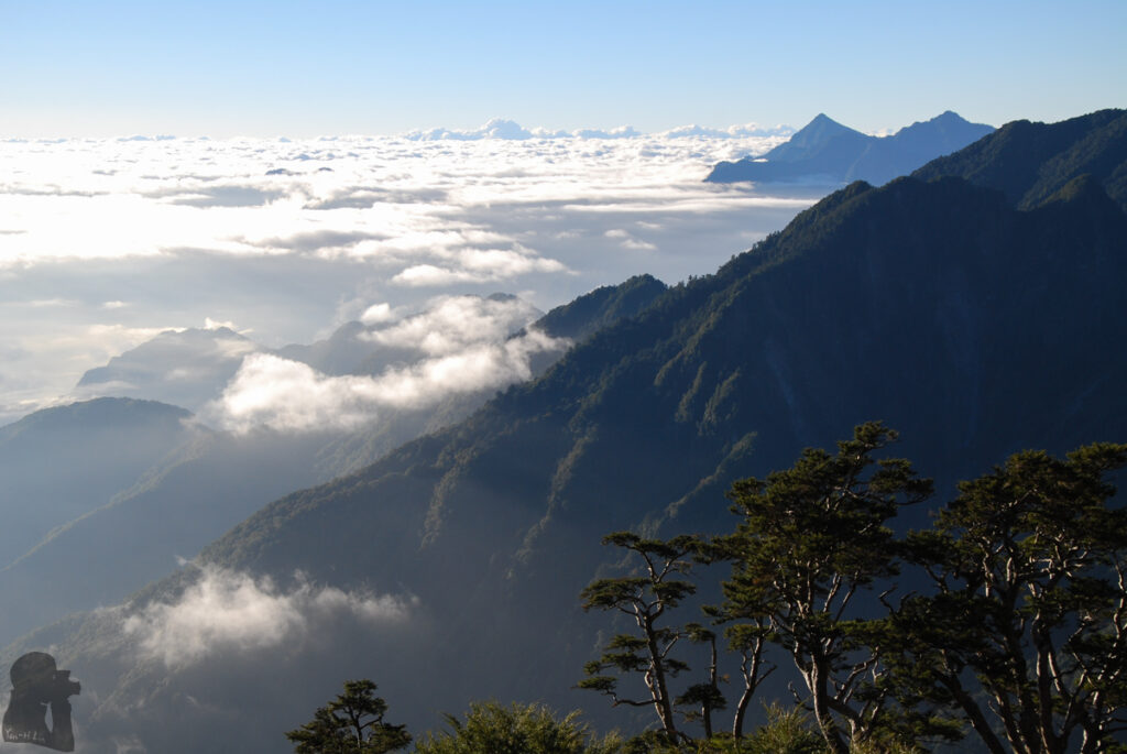
Hike Photos