The content on this website is published in English. I cannot guarantee the quality of the translated text generated by the plugin of this website. The machine-translated “names” and “terminology” are often inconsistent and/or incorrect. If it looks confusing, please switch back to the English version.
Disclaimer: Information such as the locations or the trails shown on the maps of this website might be inaccurate, misleading or out-of-date. They are only the simple illustration for the ranges of the hiking trails or the points of interest. Please prepare your own navigation device, apps, topo maps, and GPX files for hiking.
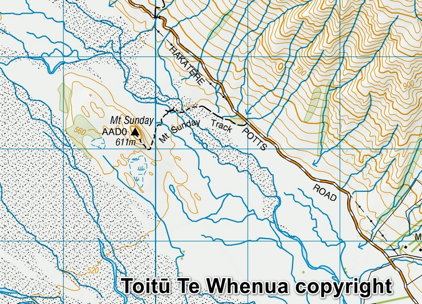
Sourced from Topo50 Map BX18 Lake Clearwater. Crown Copyright Reserved
About Mt. Sunday
The Difficulty Rating: ★☆☆☆☆
Mt. Sunday, Ashburton Lakes, is a stand-alone hill in Mid Canterbury. I heard it name because it is a film location for the sequel of the movie, “The Lord of the Rings.” On Google Map it is even labeled as “Edoras (Lord of the Rings)” instead of Mt. Sunday. Not many hiking destinations in South Island can have hundreds of reviews on Google Map like Mt. Sunday.
The elevation of the Mt. Sunday is 611 meters, and if that is the height tourists have to climb, it would not be so popular. The elevation you need to ascend is probably only 30-story high from the trail head, hopefully this sounds comforting. Here is the DOC’s track information.
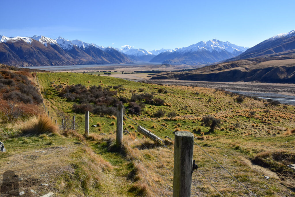
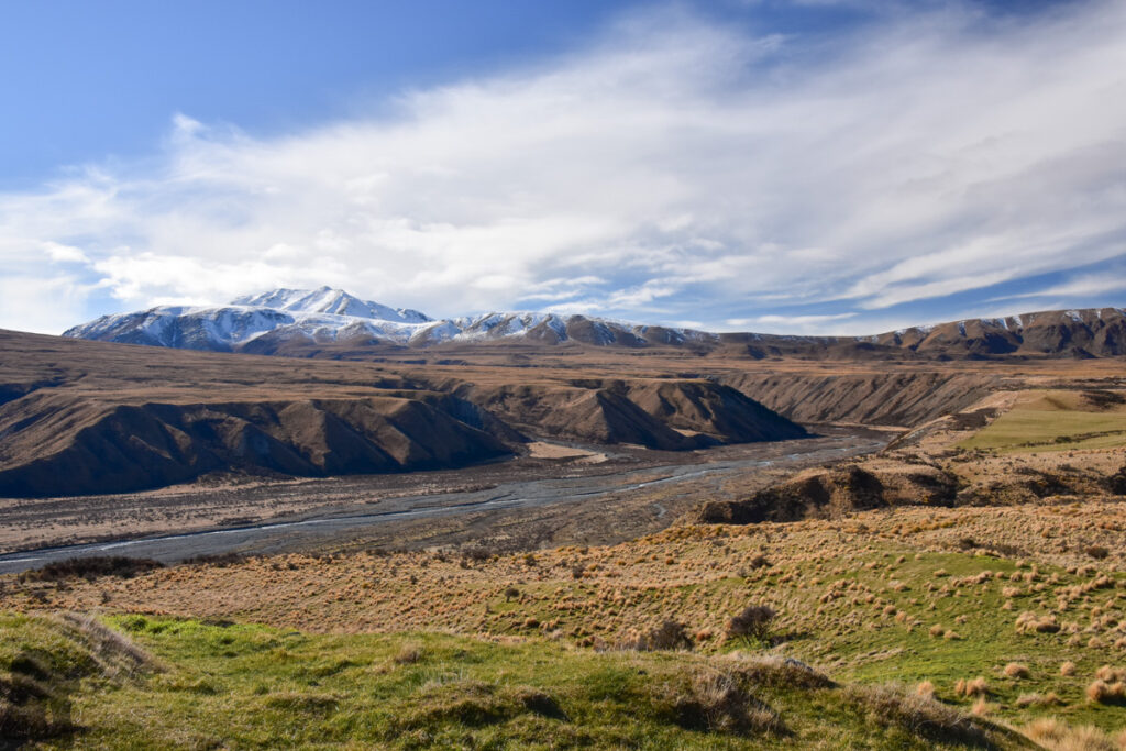
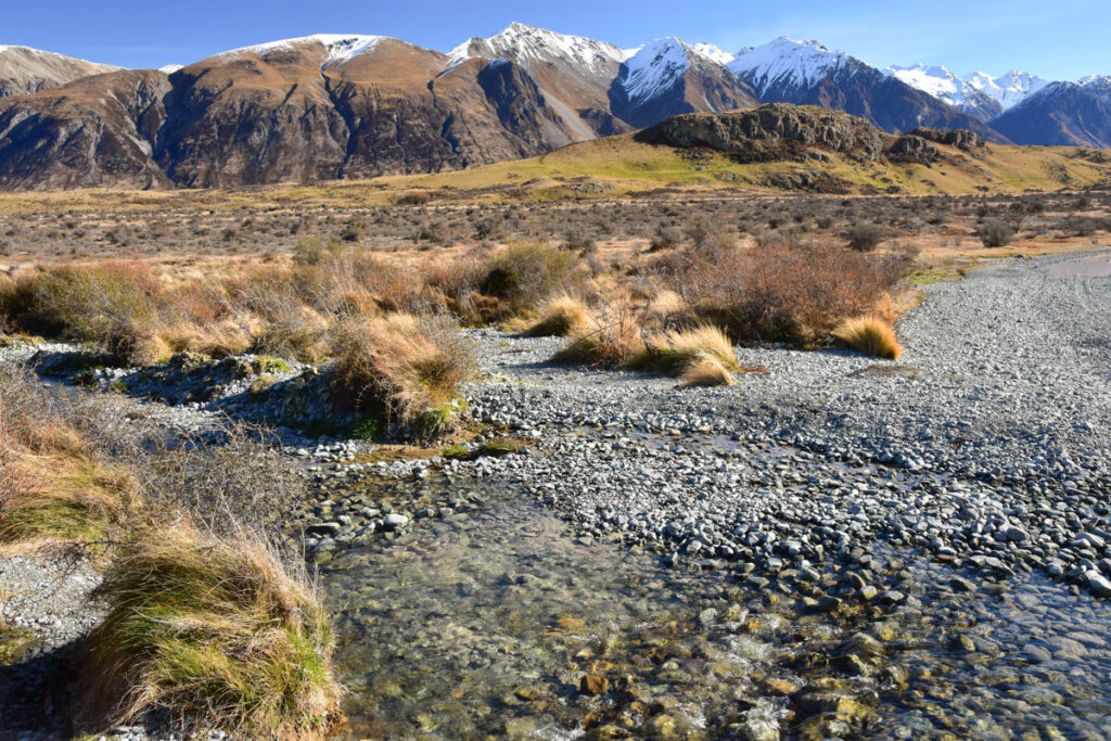
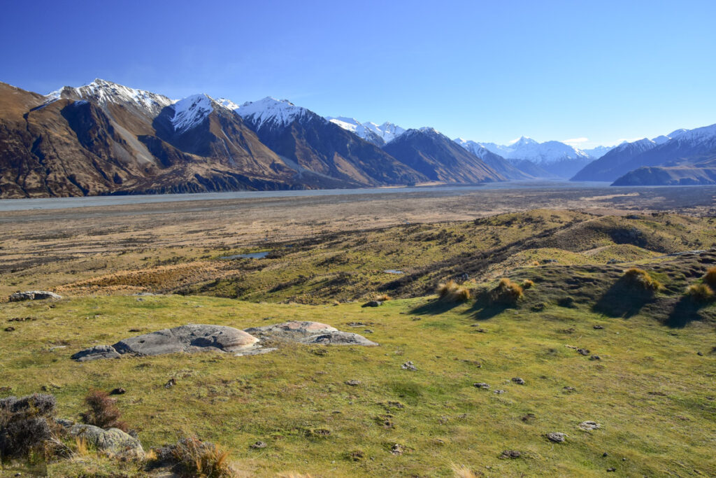
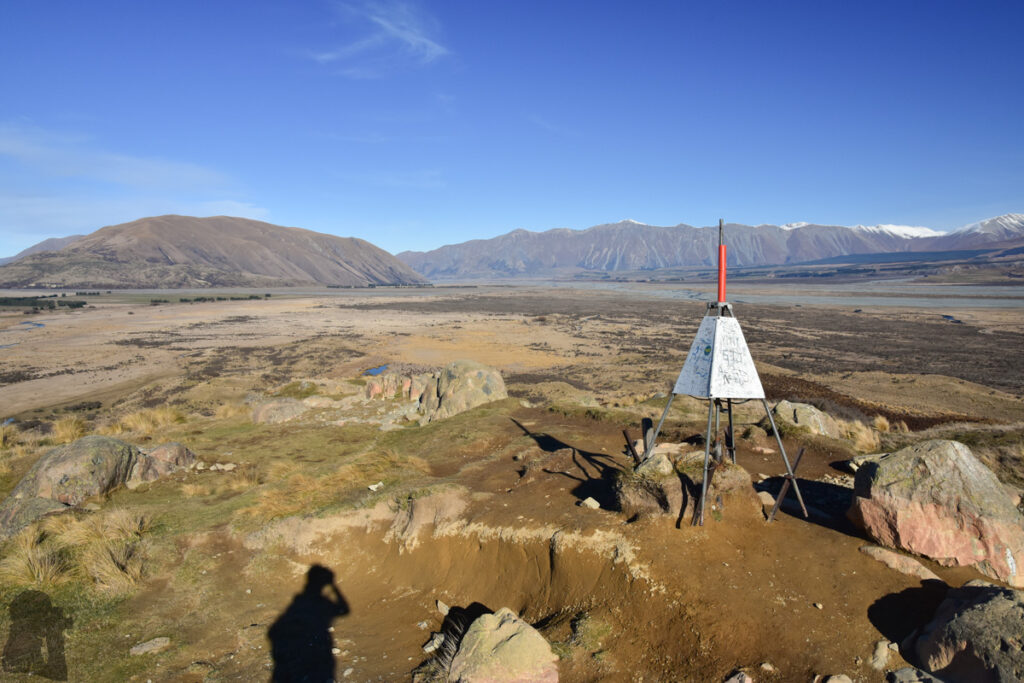
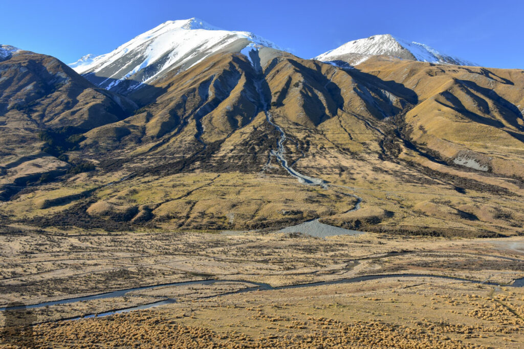
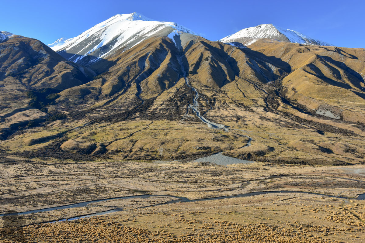
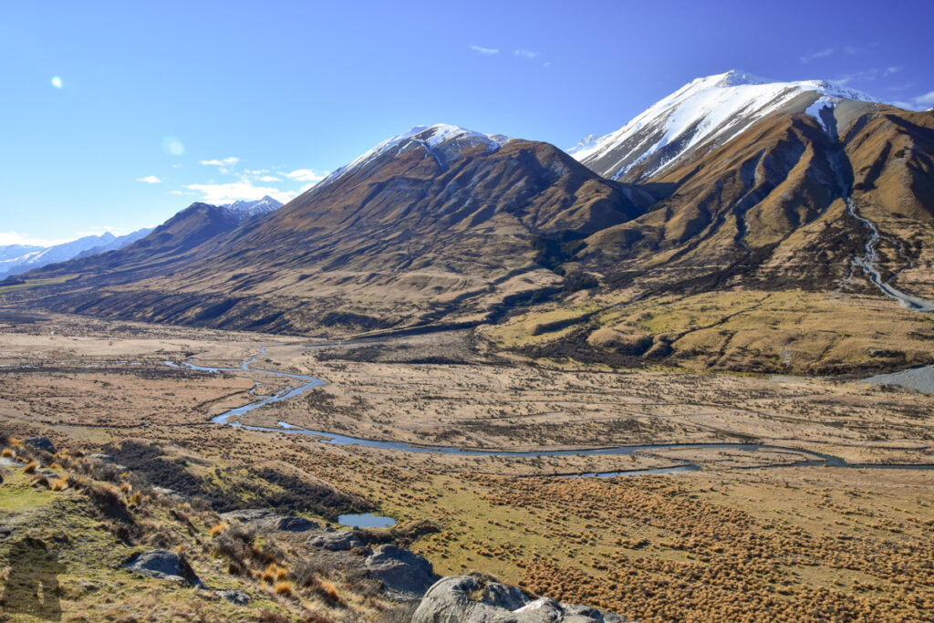
It is not surprising why “Rohan” chose this place as their capital. On the top of Mt. Sunday, you can overlook the plain and the broad riverbed of Rangitata River extending miles and miles away, surrounded by the ranges standing on the border. All you need to pay is a small effort of walking on an easy track. In fact I found the driving on the unsealed road (not technical but just a little bit bumpy) to this track was more difficult than the walk itself.
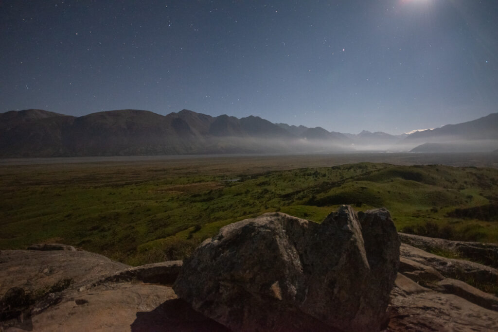
I visited Mt. Sunday in August and December 2018. There were some groups of tourists, and people camping on the peak, which were not common to see on a hiking track in South Island. But there was plenty of space for everyone. I guess most of the visitors would not linger there for too long unless they want to take time-lapse clips like me.