The content on this website is published in English. I cannot guarantee the quality of the translated text generated by the plugin of this website. The machine-translated “names” and “terminology” are often inconsistent and/or incorrect. If it looks confusing, please switch back to the English version.
Disclaimer: Information such as the locations or the trails shown on the maps of this website might be inaccurate, misleading or out-of-date. They are only the simple illustration for the ranges of the hiking trails or the points of interest. Please prepare your own navigation device, apps, topo maps, and GPX files for hiking.
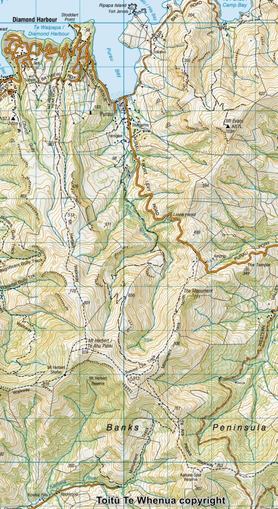
Sourced from Topo50 Map BX24 Christchurch. Crown Copyright Reserved
About Mt. Herbert / Te Ahu Pātiki
The Difficulty Rating: ★★☆☆☆
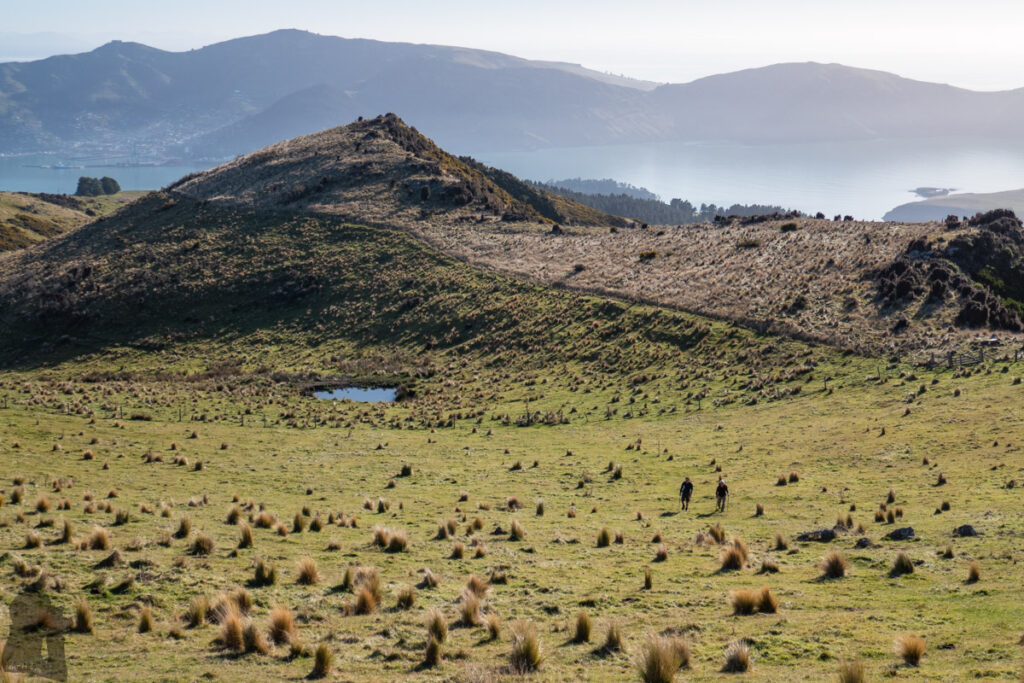
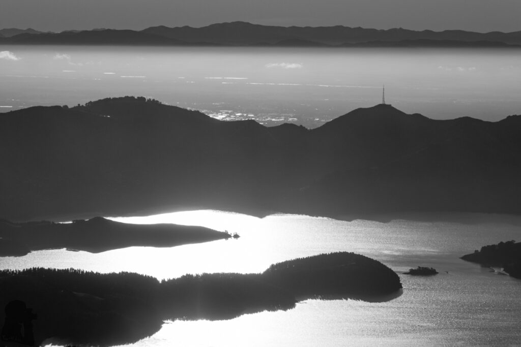
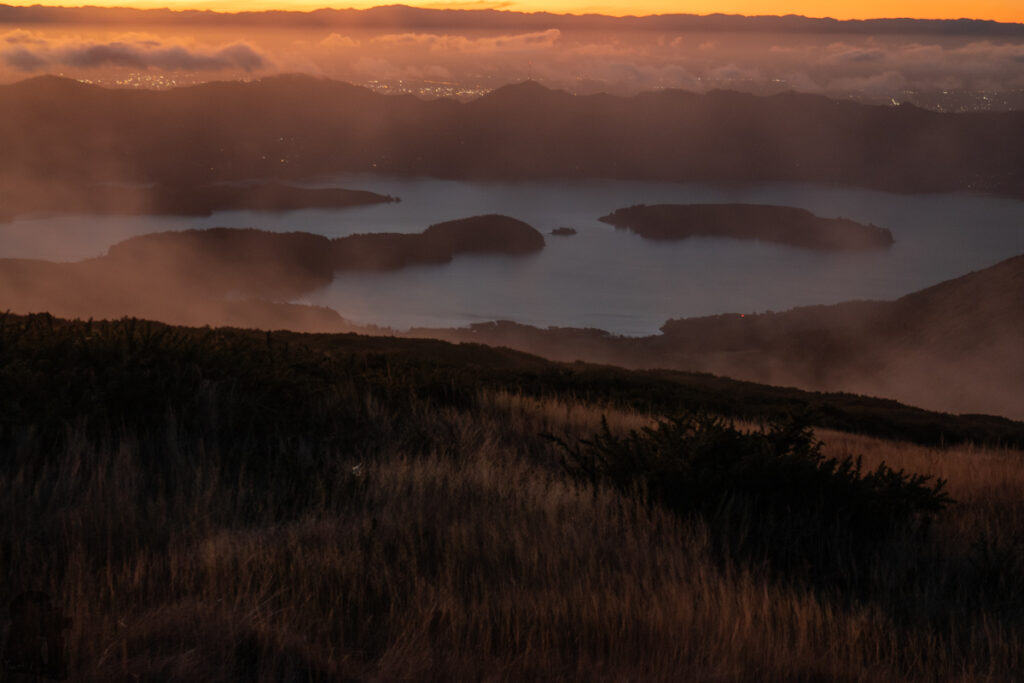
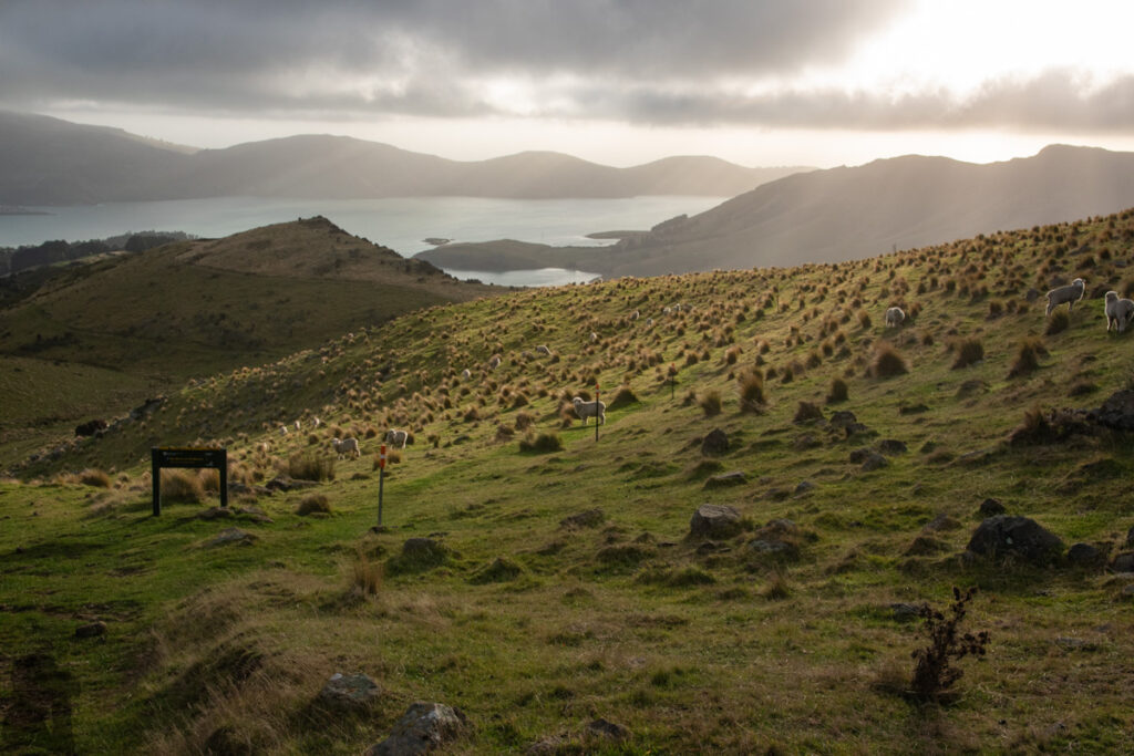
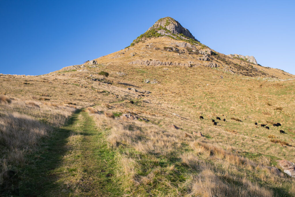
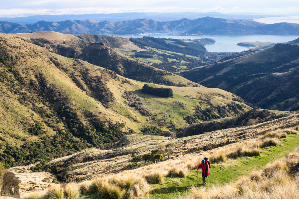
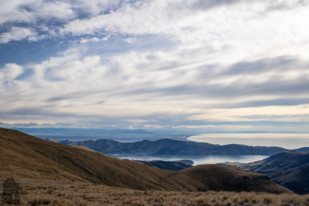
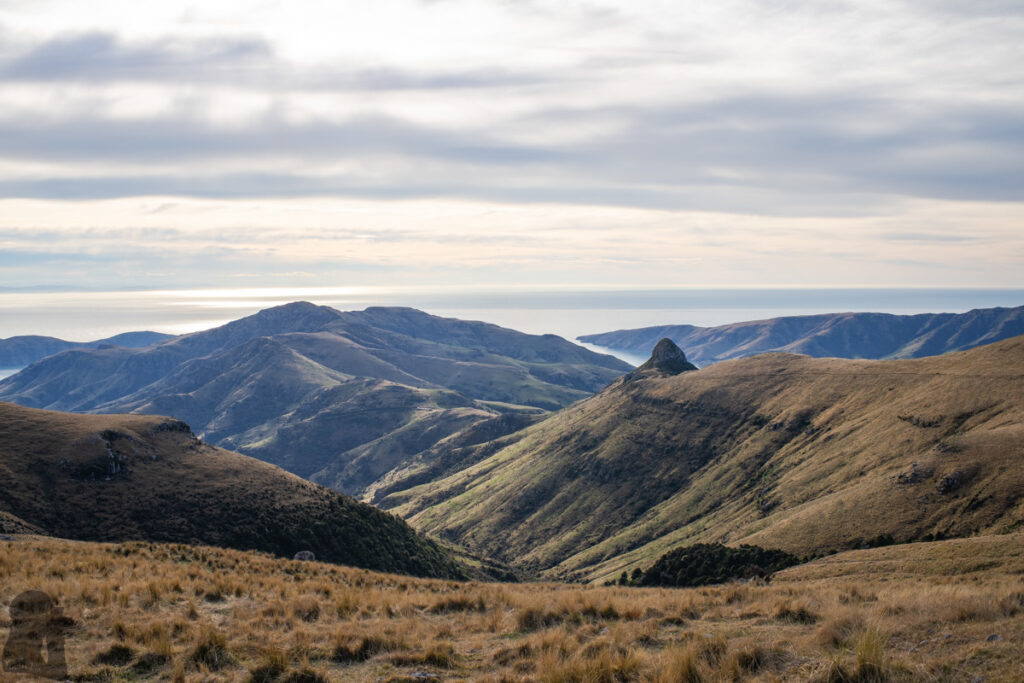
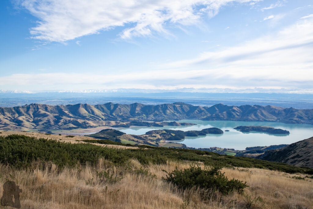
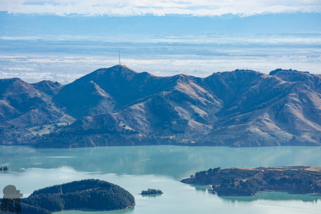
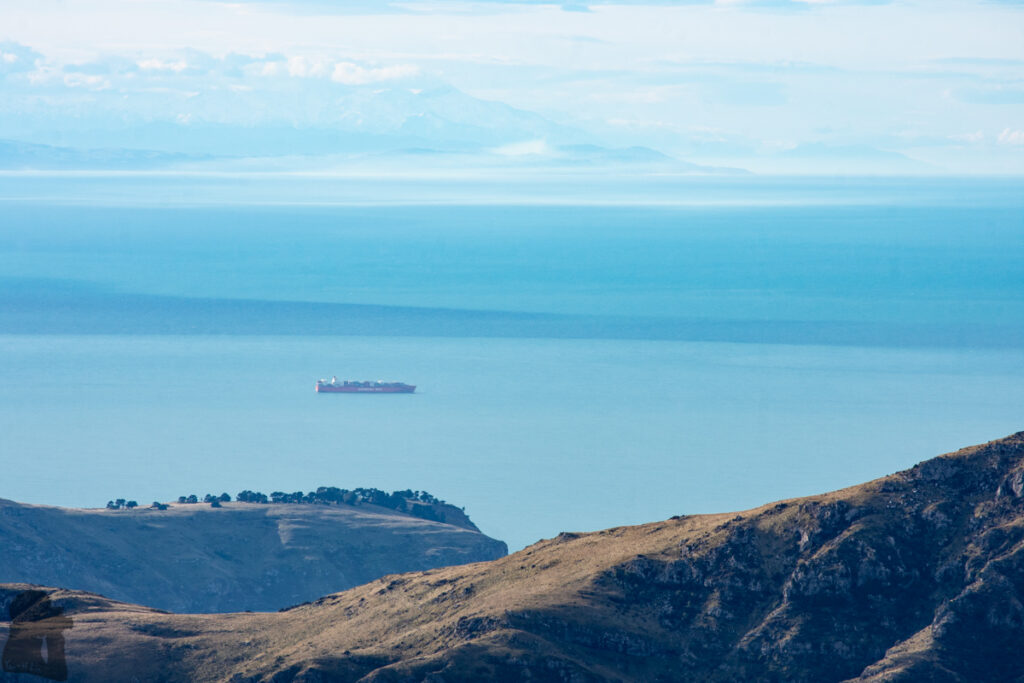
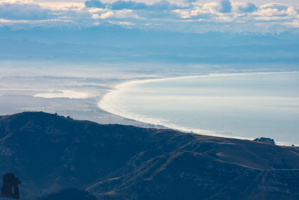
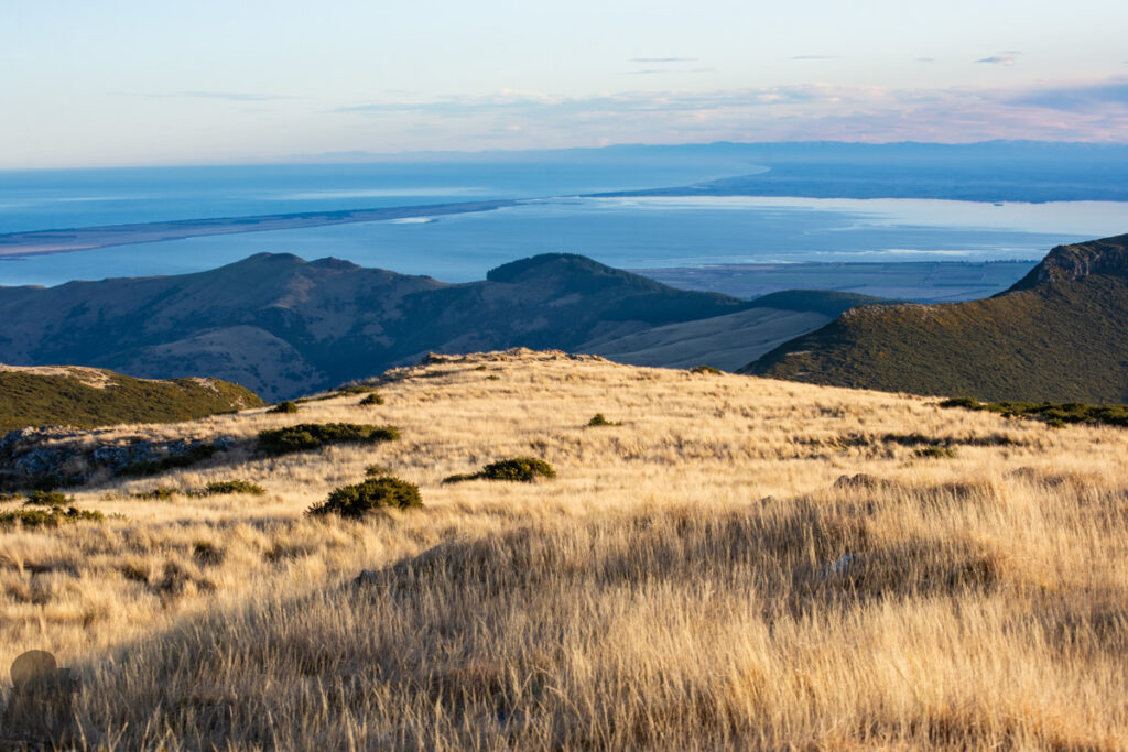
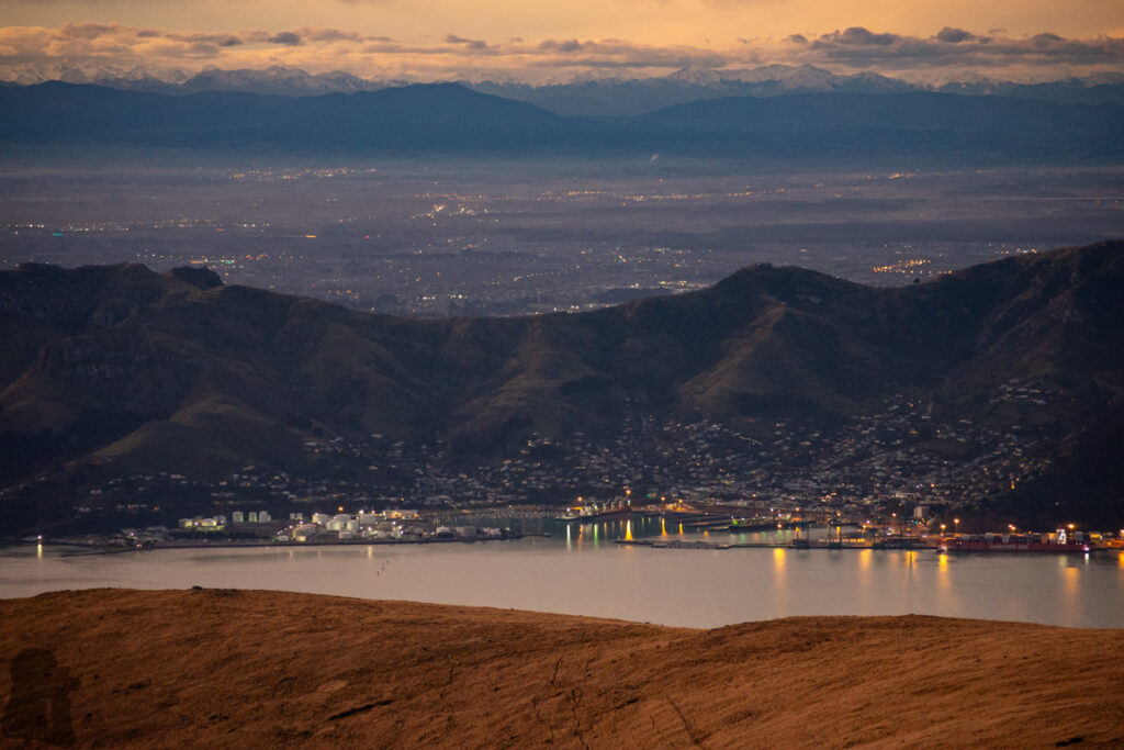
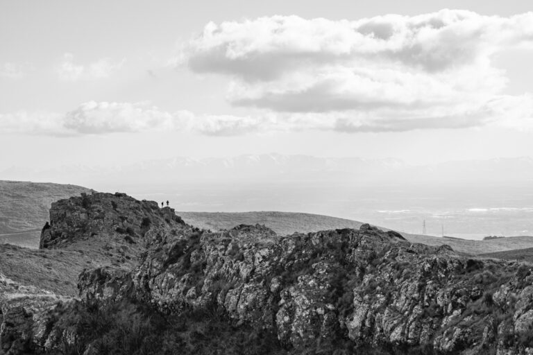
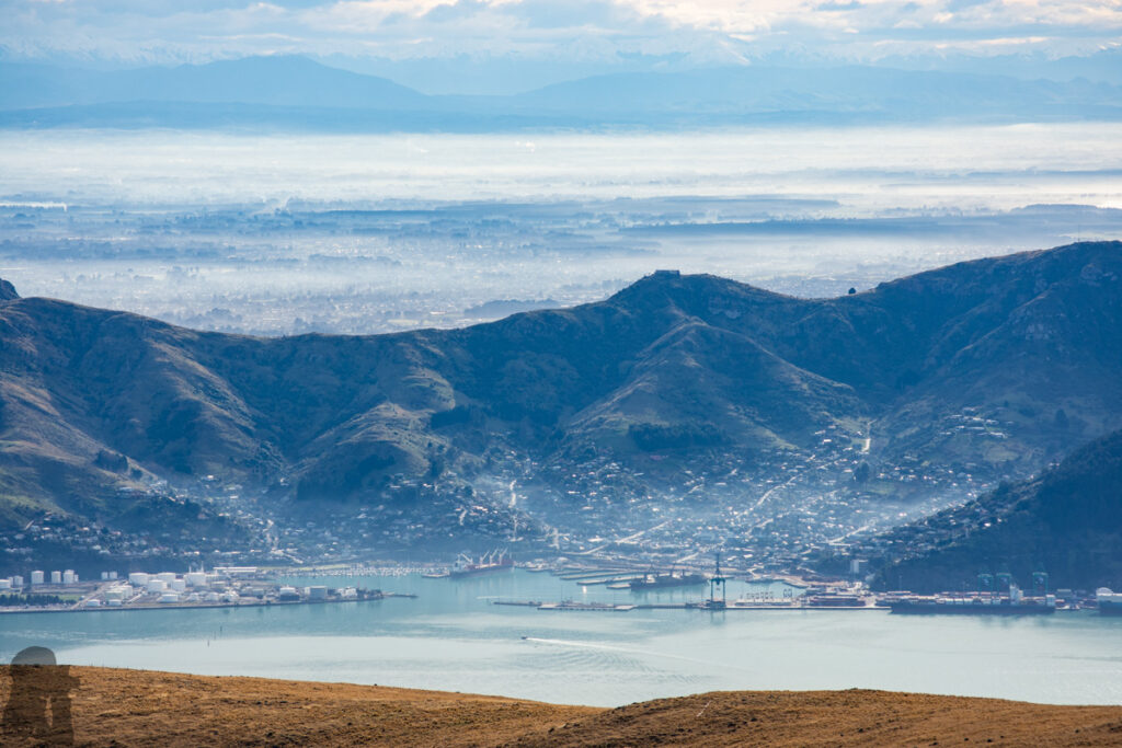
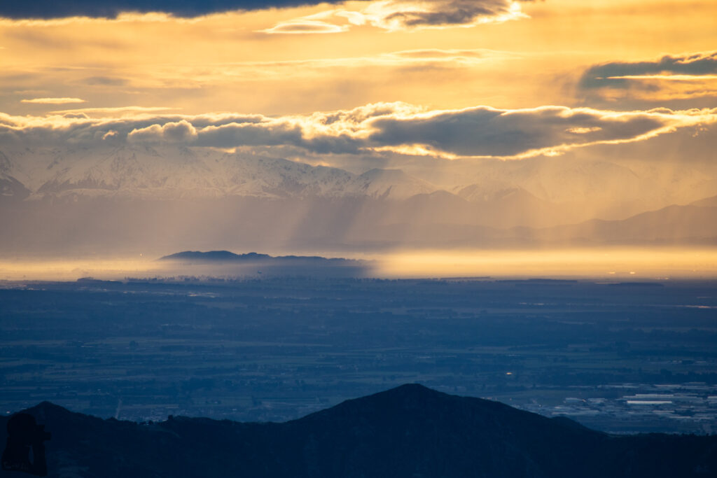
Mt. Herbert is the tallest peak on Banks Peninsula. The view is stunning on the top. In addition to the rolling hills on the peninsula and the immense South Pacific Ocean, the sight from Lake Ellesmere, Canterbury Bight and as far as a few peaks in Otago can be seen on a clear day. But in my opinion the most impressive scene is from the northern side. You can view across Lyttelton Harbour, the town, over the entire Port Hills and then into Christchurch and Canterbury Plain where the South Alps stands on the opposite side. Following the northbound coastline toward Kaikōura, the peaks of Seaward Kaikōura Range lie in the distant horizon.
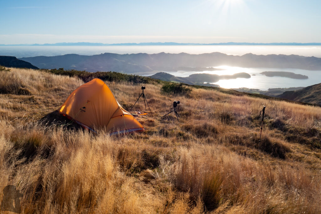
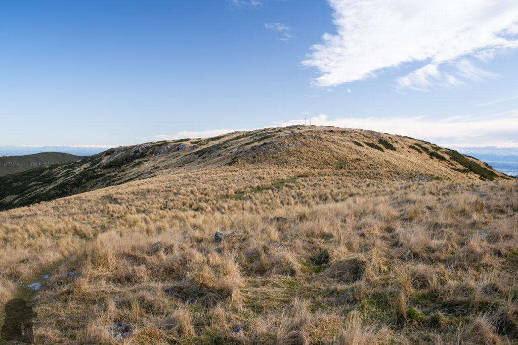
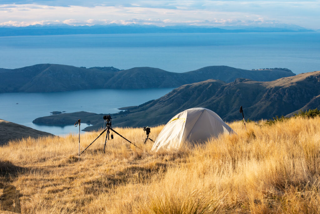
There are a couple of routes going to this famous hiking destination. We have gone to the summit twice via Mt. Herbert Walkway and Monument Track North in June 2022. Both hikes have a similar level of difficulty, but it appears the latter track is shorter and has a higher trail head (so you can climb less). We stayed on the top the whole night on our first hike, a windy and chilling winter night! But the time-lapse clips I got were satisfying, so it was definitely worth the effort.
Because we did not want to suffer on that exposed summit twice, on our second arrival my partner hid inside the tent while I was busy managing the cameras. We returned to the car park after my time-lapse shooting was finished in the dark. It has been several years after the hikes but those time-lapse clips are still waiting to be edited and published someday.
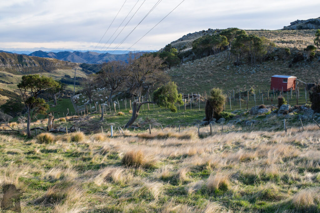
Both tracks provide remarkable scenery along the way, not just on the summit. They are suitable for family groups to have a rewarding day hike, and they are ideal tracks in winter when somewhere else higher is already iced up. Although the elevation of Mt. Herbert and the tracks are not very high, they are exposed to the elements.
For more track information from DOC.