The content on this website is published in English. I cannot guarantee the quality of the translated text generated by the plugin of this website. The machine-translated “names” and “terminology” are often inconsistent and/or incorrect. If it looks confusing, please switch back to the English version.
Disclaimer: Information such as the locations or the trails shown on the maps of this website might be inaccurate, misleading or out-of-date. They are only the simple illustration for the ranges of the hiking trails or the points of interest. Please prepare your own navigation device, apps, topo maps, and GPX files for hiking.
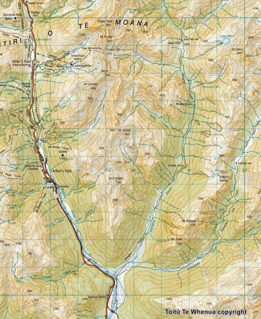
Sourced from Topo50 Map BV20 Otira. Crown Copyright Reserved
About Lake Mavis and our hike
The Difficulty Rating: ★★★⯪☆3.5
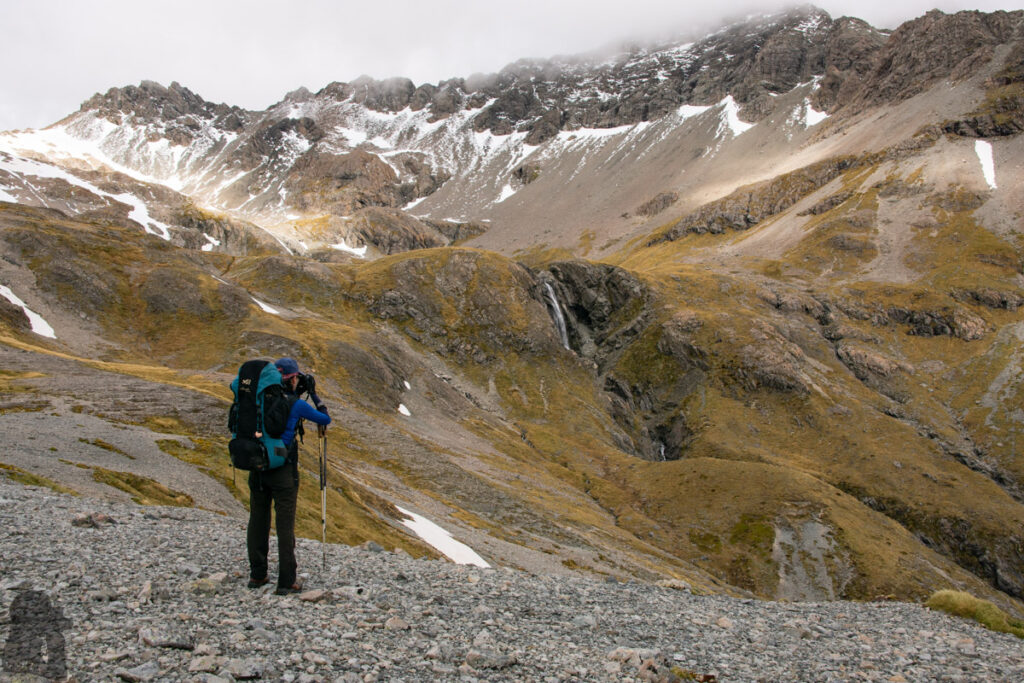
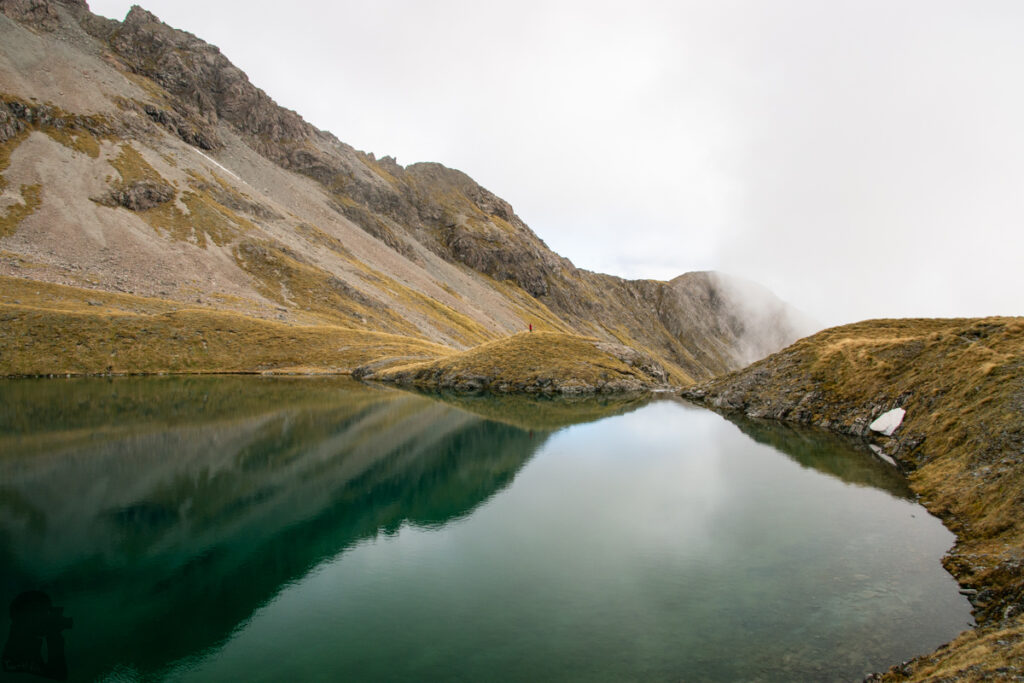
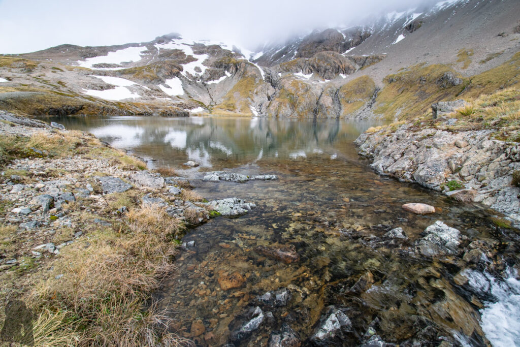
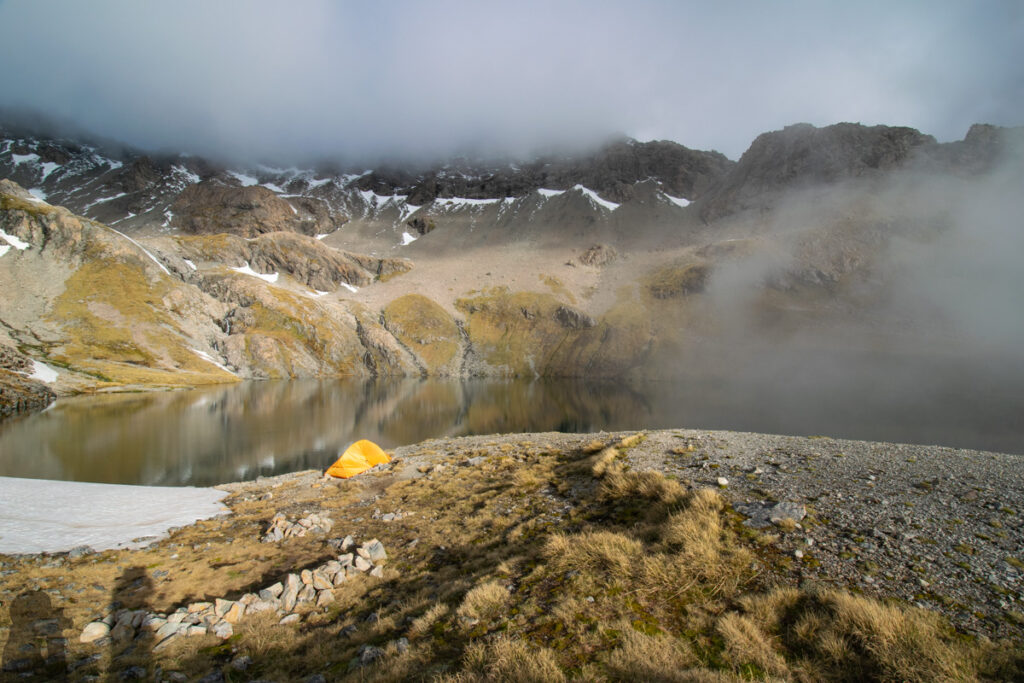
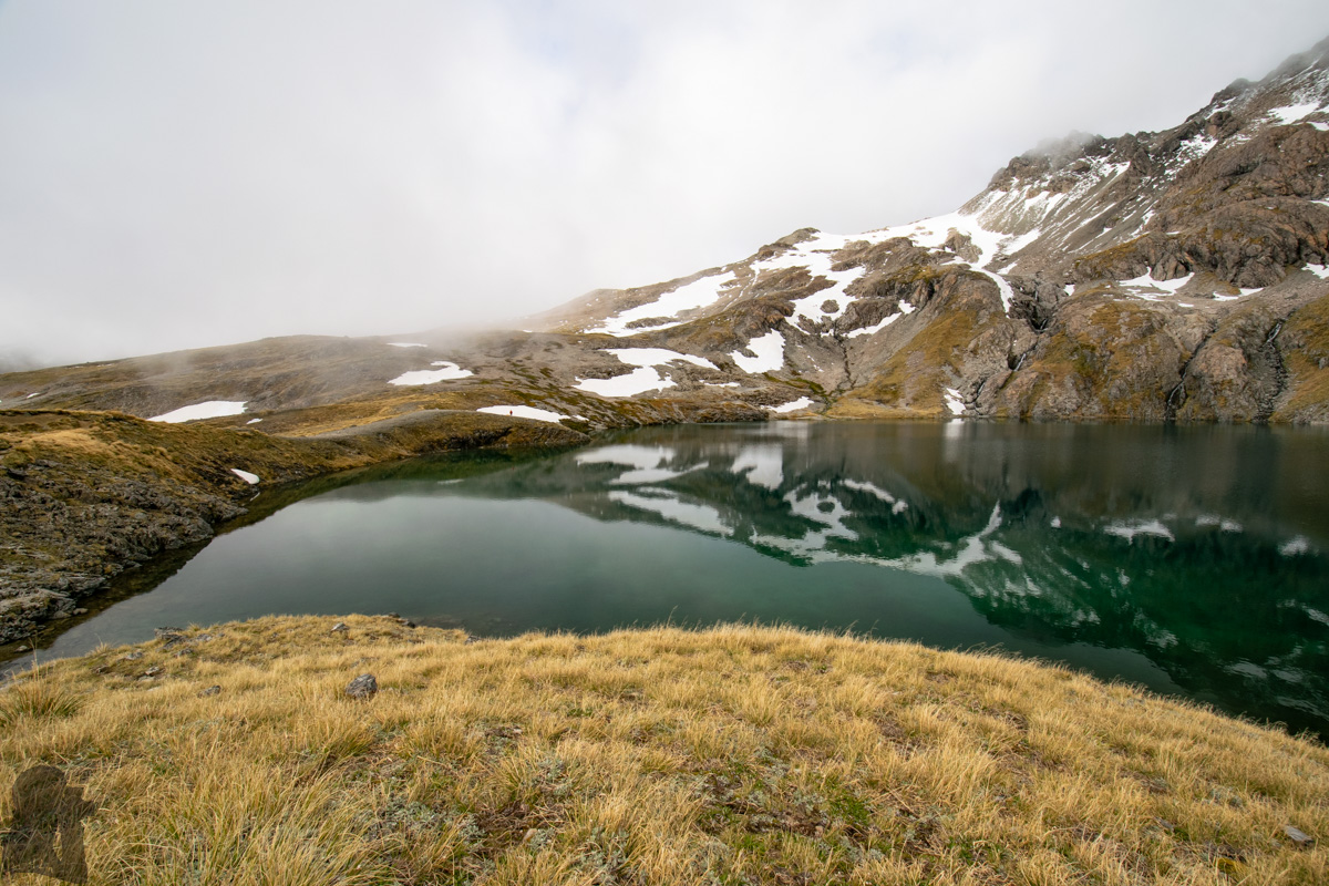
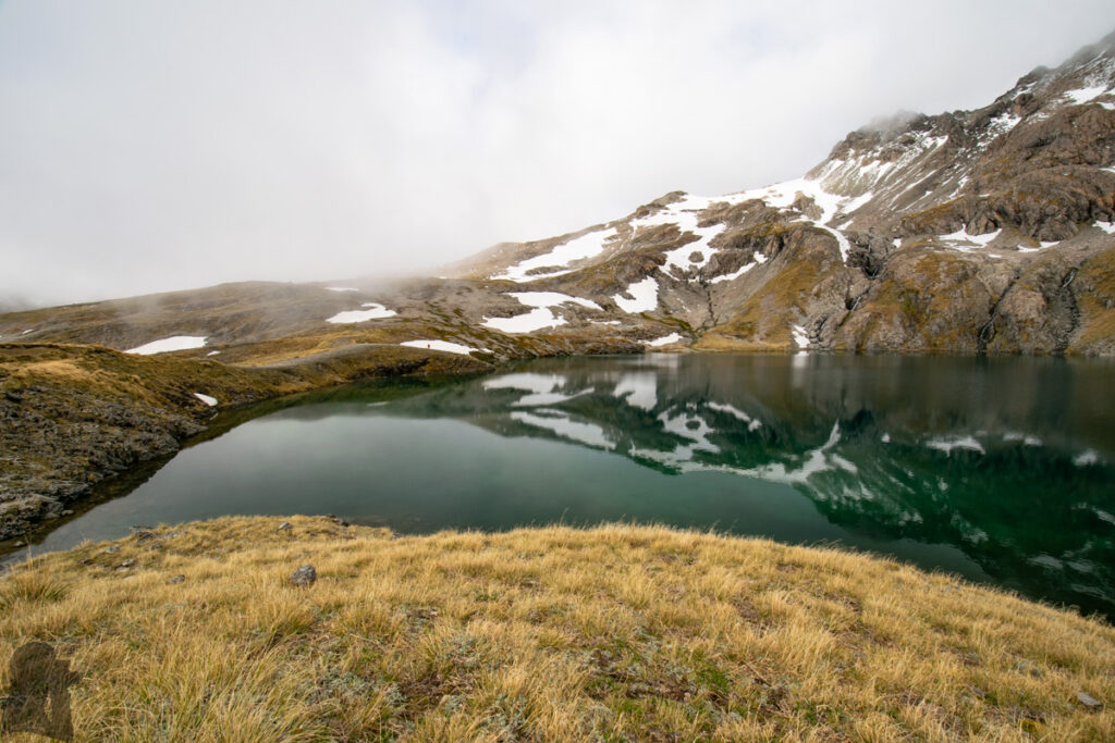
Lake Mavis is an alpine lake 500 meters above Goat Pass in Arthur’s Pass National Park. It is a beautiful lake, but most of our memory associated with this lake is from our stupid things happened on this hike.
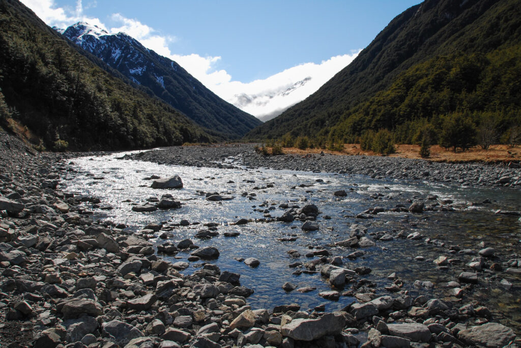
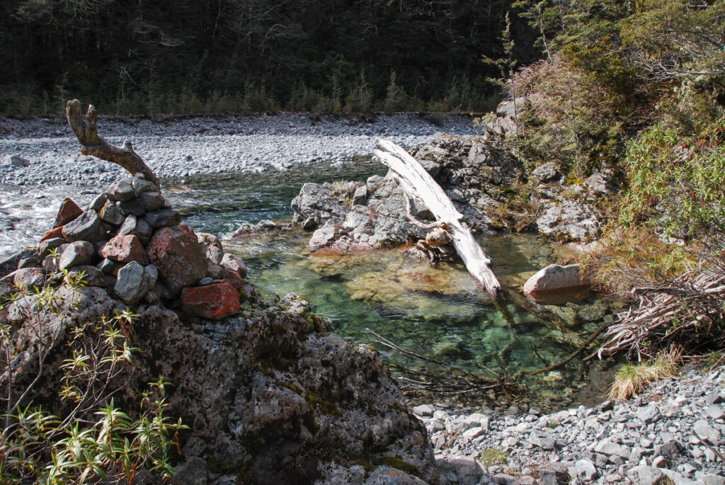
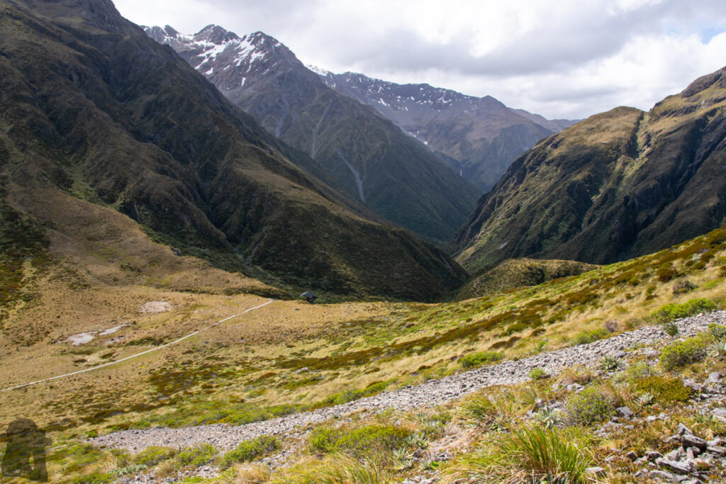
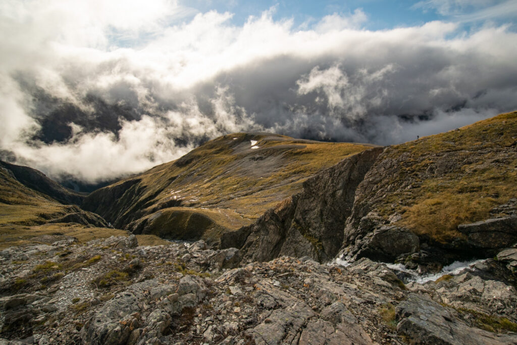
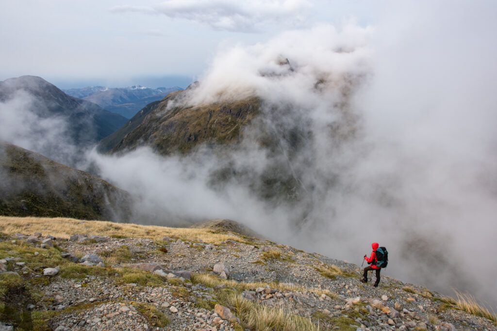
We hiked to the lake via the eastern side (or technically the southern end) of Mingha – Deception Route. Because we did not go beyond the Goat Pass, I cannot make any comment about the difficulty of the following section of the route. But it appears that river crossing is a big challenge / risk along the entire route. Please click to DOC web page for more information. Providing you travel in the same direction like us, when you are getting close to Goat Pass, look for the side trail marked by cairns that goes up eastward on the spur. The side trail may not be obvious to see from a distance so you will need to spot it with some attention.
I firstly hiked on the southern section of Mingha – Deception Route in September 2016, just a few days before the commencement of my job in Dunedin. My plan was to stayed in Goat Pass Hut for one night and visit Lake Mavis on the second day before returning to the same way. I did not know how this lake looks like before the hike, but an alpine lake is always fascinating to me. The hike to Goat Pass was just an ordinary one. But the intention to the lake was called off shortly after a few steps on the spur due to the poor visibility.
In December 2019 I hiked on this trail again with my partner this time. As we did not want to finish the whole route and come back to the car park by hitchhiking and also we tried to minimize the danger of river crossings, we only did a return trip to Lake Mavis from the trail head near Greyneys Shelter of SH 73. We reached the lake directly and camped by it. The hike was smooth so far and luckily we did not need to share the lake with anyone else.
The foolish and weird things occurred while we were returning via exactly the same way. After descending to the Mingha Track from the lake, we carried on the walk for a distance and then took a brief break somewhere. When we started to move again, we unconsciously turned to the “opposite” direction, the direction we were just from before the break, away from the destination.
Both of us did not realize this mistake until a while later we saw something familiar and noticed the river flowing in the direction different from our expectation. We confirmed this disgraceful situation by double check on our GPS. If excluding the chance of being possessed by something spiritual, the only reasonable explanation was that the surrounding scenes were so featureless and we were way too relaxed to pay attention at all.
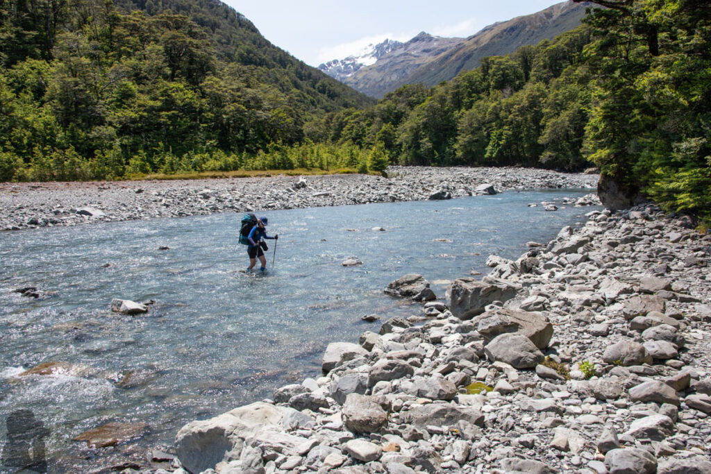
But our stupidity did not end yet. We, now two grumpy hikers, rushed to cross Bealey River, the final river crossing, without a proper assessment probably due to the impatience and inexperience.
We quickly picked up a short route but did not realize that water can be high at where the river bed is narrow. A few meters away from the shore we started struggling to move against the current of my waist high. My partner was even pushed off ground and almost submerged. She would have been flushed away if I did not grip her arm in time to drag her up. After retreating to the shore first, we finally calmed down. The second try at the spot where the water looked not so high was successful and much easier.
What made us more embarrassed was to see two girls who crossed the river only 20 meters downstream shortly after us. They strolled so easily because the river there was only ankle high. I hope that they did not see what we were doing. I really wish we were invisible!
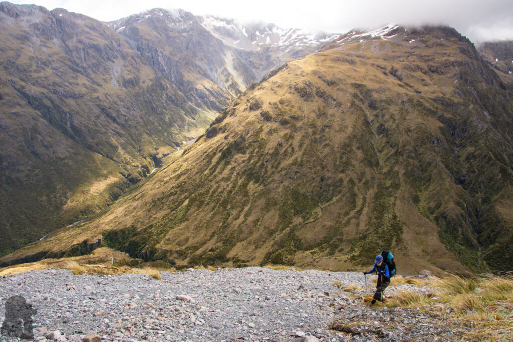
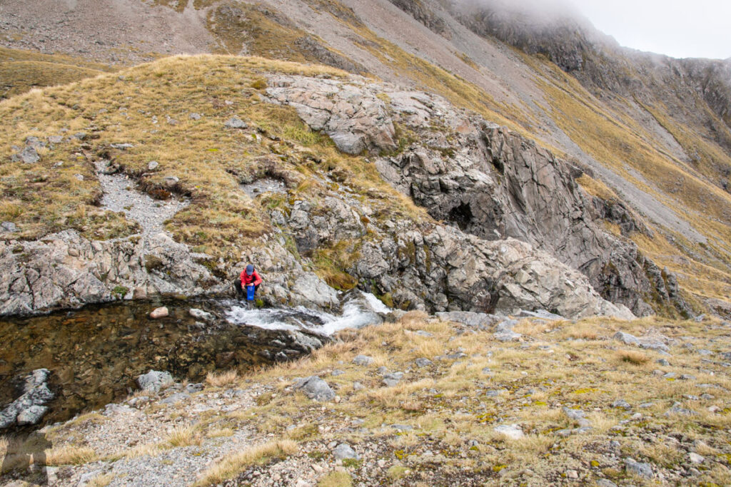
In spite of our dramas, this hike was actually not that difficult. The skill and experience for river crossing is essential. Choose a season / fine days when the river is low, and patiently and carefully choose a safe path to cross a river is the hard lesson I learned from this hike. A navigation device is highly recommended in case you cannot spot the trail markers easily. From the trail head to Goat Pass, I do not remember anything particularly risky (except our river crossing). The final 500 m steep ascent to Lake Mavis was tiring but straightforward.
On top of our shattered dignity and someone’s bruised arm, the camera and lens on my partner were well-hydrated for the very first time during the battle of fording. I disassembled the camera to let the parts dry for a couple of days, but the lens were too delicate to be treated by me. The visible moisture was trapped inside the housing for months until they were brought to Taiwan for a professional clean. The camera and lens survived and were back to function normally. Now they have stayed in storage for a few years.