The content on this website is published in English. I cannot guarantee the quality of the translated text generated by the plugin of this website. The machine-translated “names” and “terminology” are often inconsistent and/or incorrect. If it looks confusing, please switch back to the English version.


Disclaimer: Information such as the locations or the trails shown on the maps of this website might be inaccurate, misleading or out-of-date. They are only the simple illustration for the ranges of the hiking trails or the points of interest. Please prepare your own navigation device, apps, topo maps, and GPX files for hiking.

Sourced from Topo50 Map BW21 Springfield. Crown Copyright Reserved
About the hike to Foggy Peak and Castle Hill Peak
The Difficulty Rating: ★★★☆☆
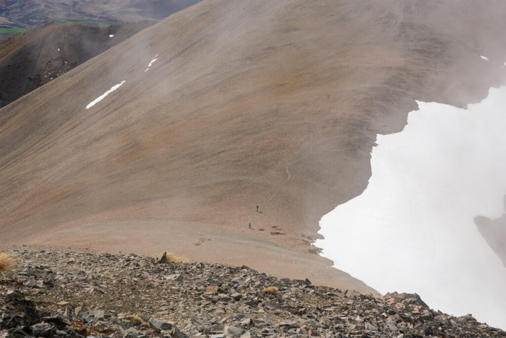
Foggy Peak and Castle Hill Peak are hiking destinations not far from Christchurch. For a mostly unmarked route, this trail is more popular than I thought. Both peaks are on the same ridge of Torlesse Range, to the north of Porters Pass on SH 73. When I hiked on Trig-M Route, I noticed this prominent ridge, Foggy Peak Ridge, which stands above Porters Pass on the other side of the highway. Even I passed by the lay-by at the pass for so many times, but I did not realize there is a route leading to the ridge until I saw tiny figures of people moving on the slope from my time-lapse clip taken at Trig-M Route.
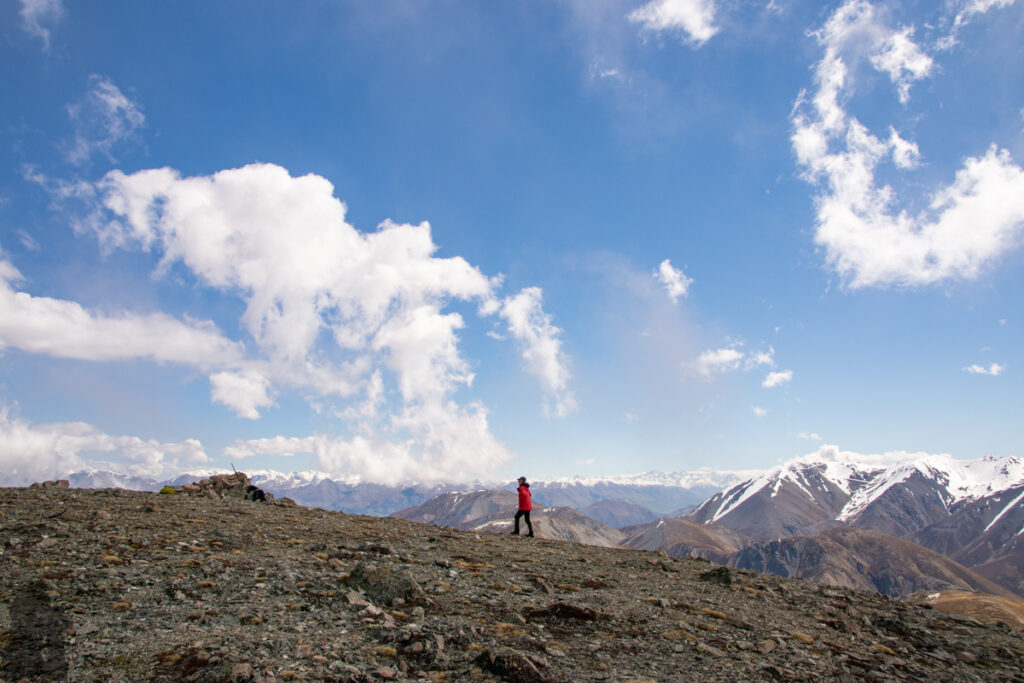
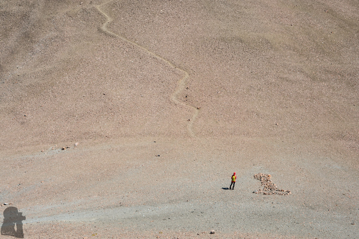
My partner and I hiked to Castle Hill Peak via Foggy Peak in October 2019. Starting from the car park, the route was only marked for a short distance, probably just to let us pick up the correct direction. Then it was on us to find the trail on the scree slope. Though it was not dangerous, but the ascent on the steep gradient was fairly demanding. The trail was not always easy to see and so those cairns were very helpful.
After Foggy Peak, the navigation became straightforward, basically we just followed the ridge which was broad first and then became narrow and steep before reaching the summit of Castle Hill Peak. The trail and the cairns along the way were obvious to follow as the visibility was good.
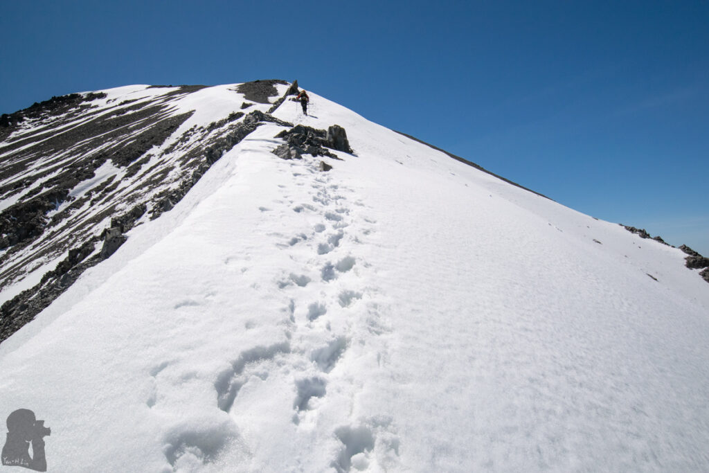
During the mid-spring the ridge near Castle Hill Peak was still covered by snow. We put on our crampons to climb the last section to the top where we just stayed for a couple of minutes due to the strong wind. One spot of the trail was icy where our crampons offered great grip while we descended it.
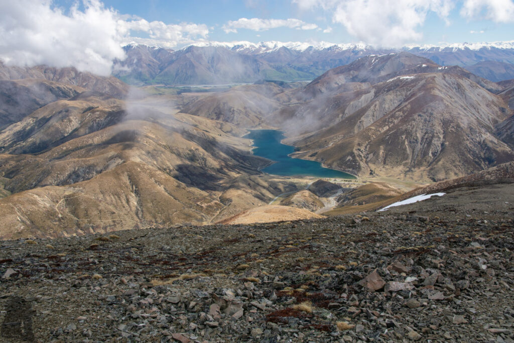
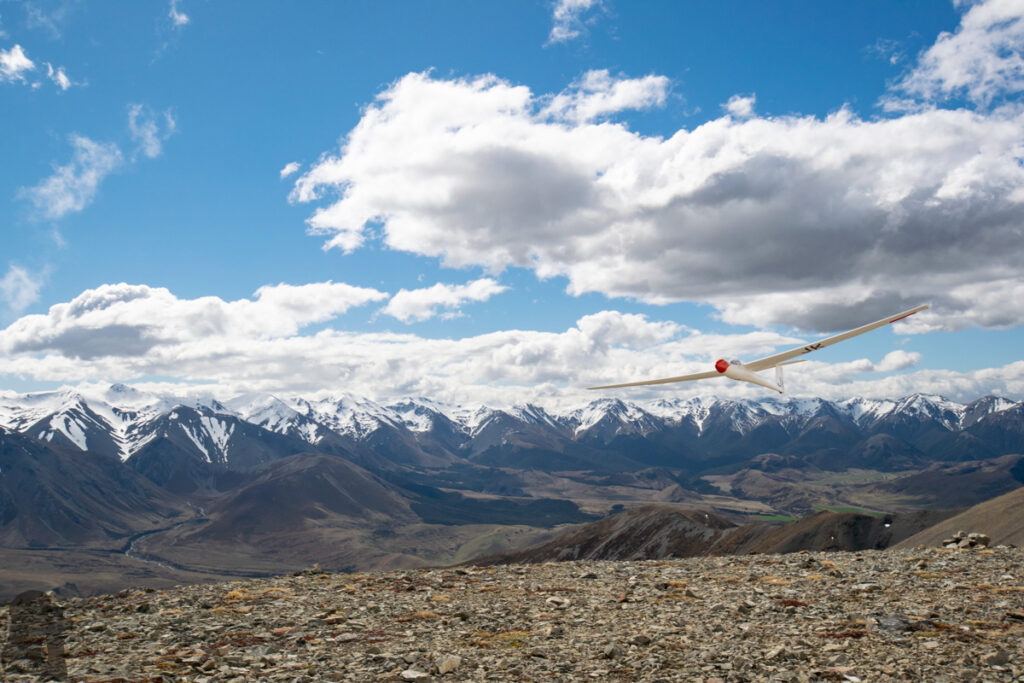
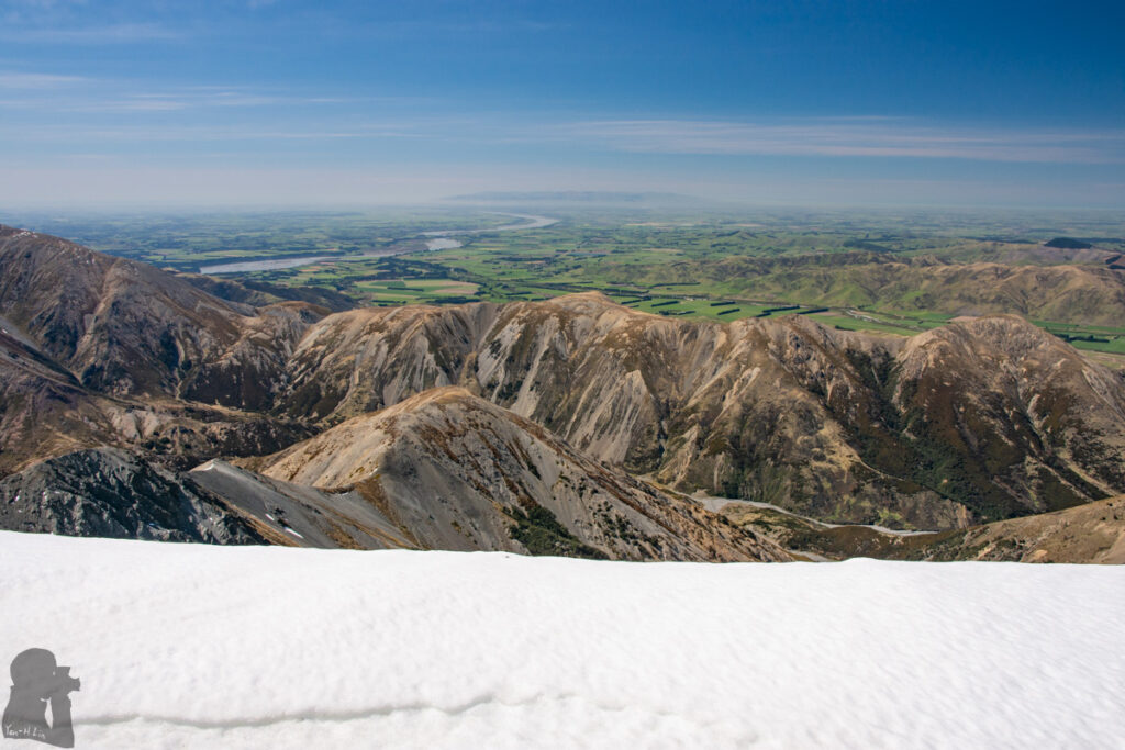
In my opinion the panorama on the top of Foggy Peak is already nice enough if you are reluctant to go any further. Navigation is not tricky on a fine day. But you may need to be more careful if the weather turns foggy, especially when you are on the broad ridge and it is hard to spot the following cairns. Using a navigation device with offline topo map should be helpful when the visibility is low. When the trail is still snowy / icy, you may need gears like crampons / ice axe. The last section to ascend Castle Hill Peak is a steep climb and the gears may provide you some more insurance.
Please click into DOC web page for more information.
Trig-M Route is an easier trail which is just on the other side of the highway, near Porters Pass. It offers scenery as remarkable as these two peaks. You may consider it as an alternative.