The content on this website is published in English. I cannot guarantee the quality of the translated text generated by the plugin of this website. The machine-translated “names” and “terminology” are often inconsistent and/or incorrect. If it looks confusing, please switch back to the English version.
Disclaimer: Information such as the locations or the trails shown on the maps of this website might be inaccurate, misleading or out-of-date. They are only the simple illustration for the ranges of the hiking trails or the points of interest. Please prepare your own navigation device, apps, topo maps, and GPX files for hiking.
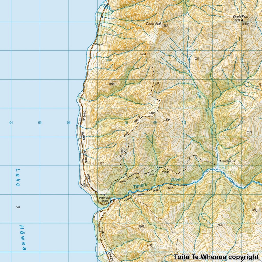
Sourced from Topo50 Map CA13 Lake Hāwea. Crown Copyright Reserved
About Corner Peak Route
The Difficulty Rating: ★★★⯪☆3.5
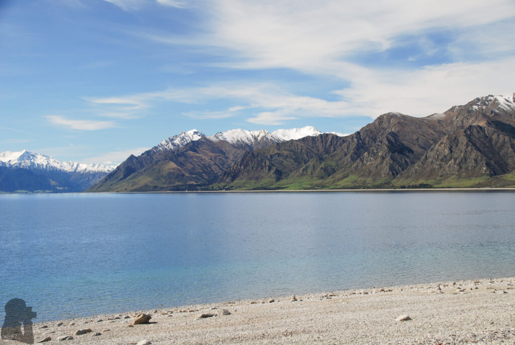
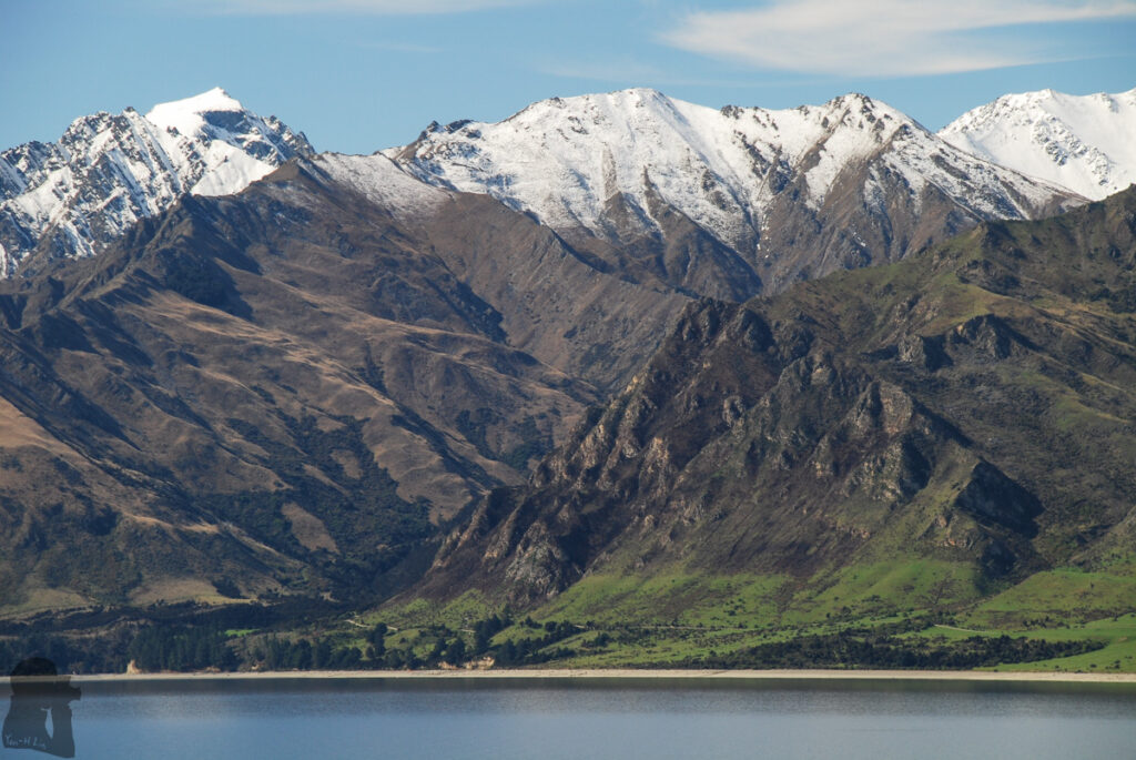
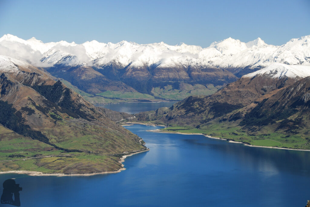
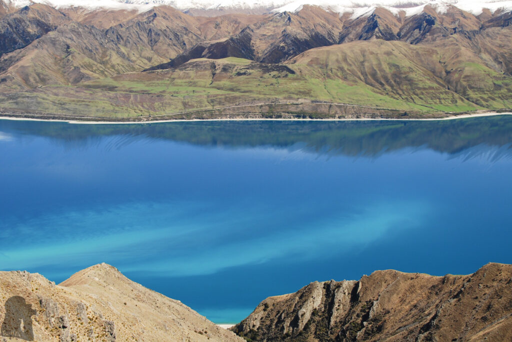
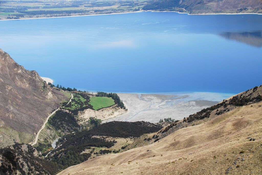
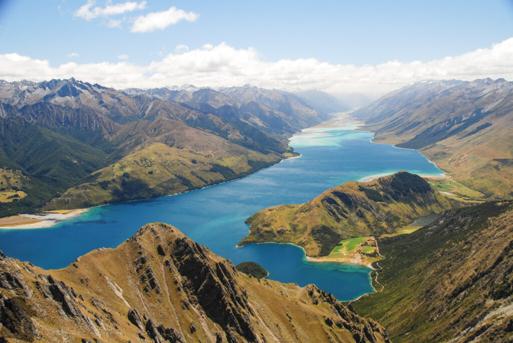
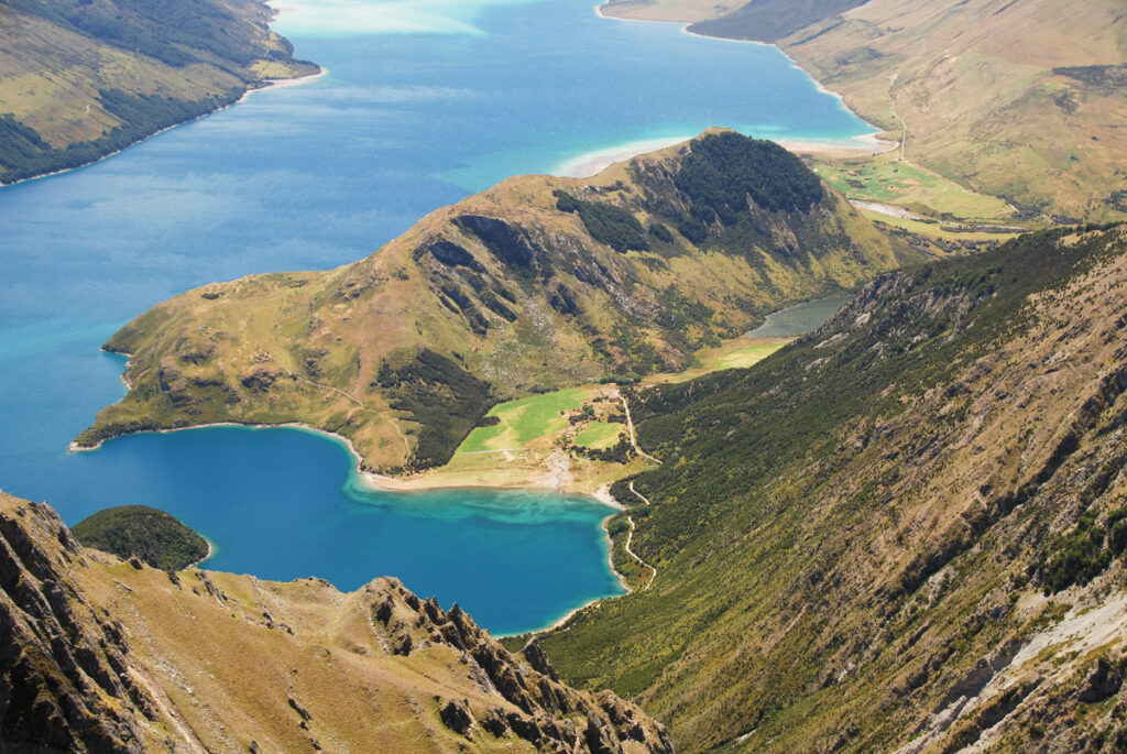
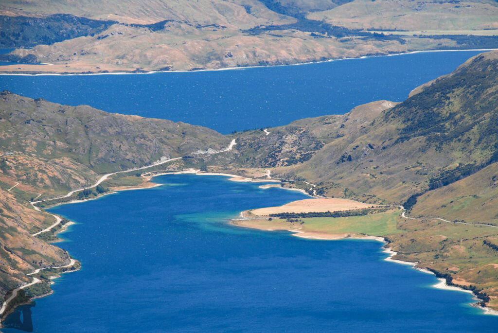
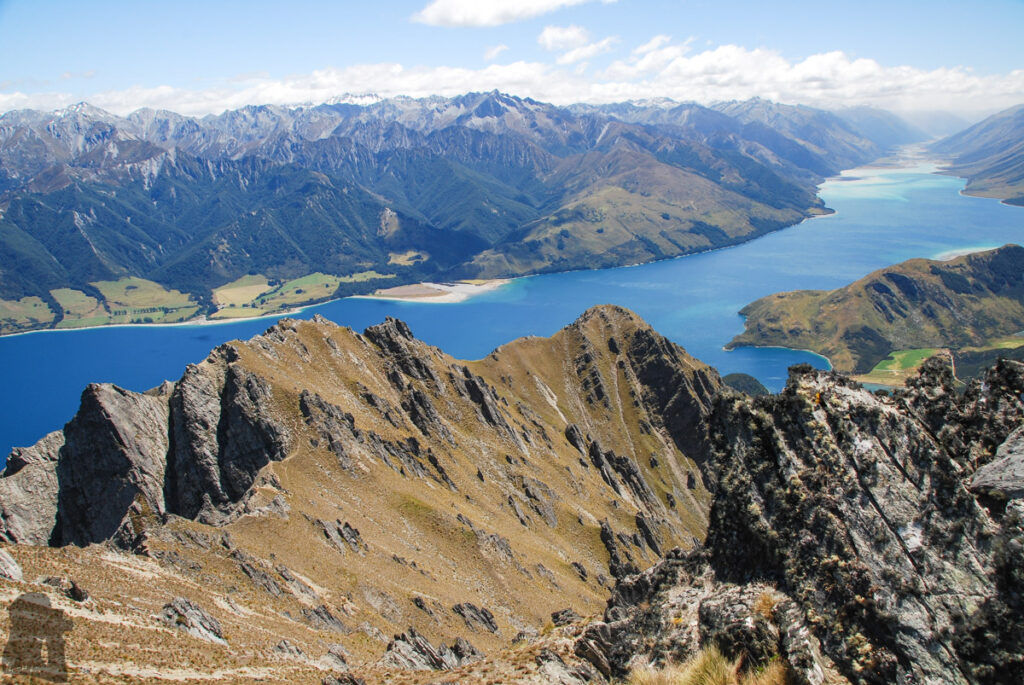
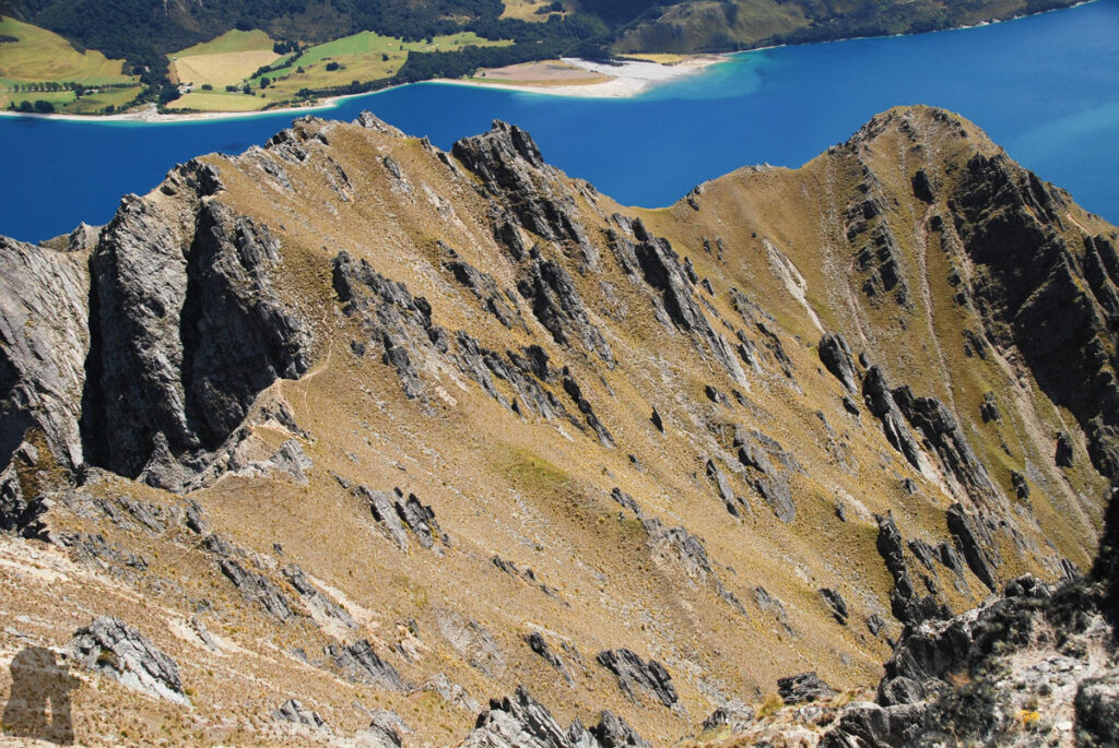
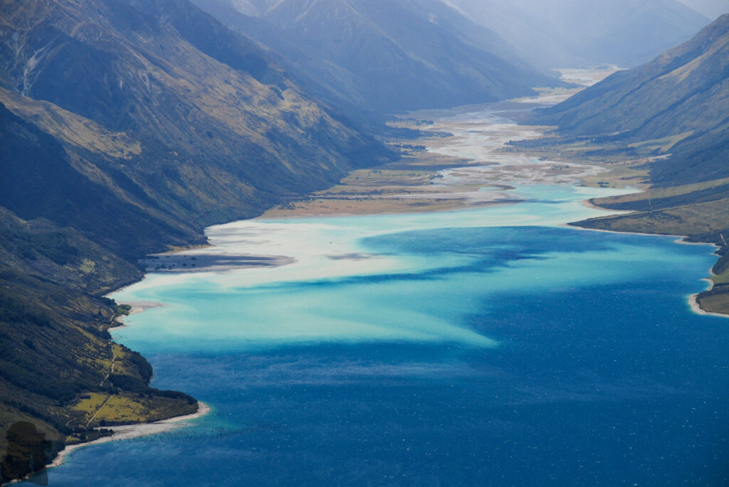
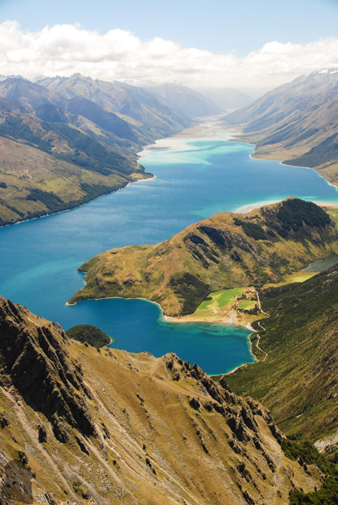
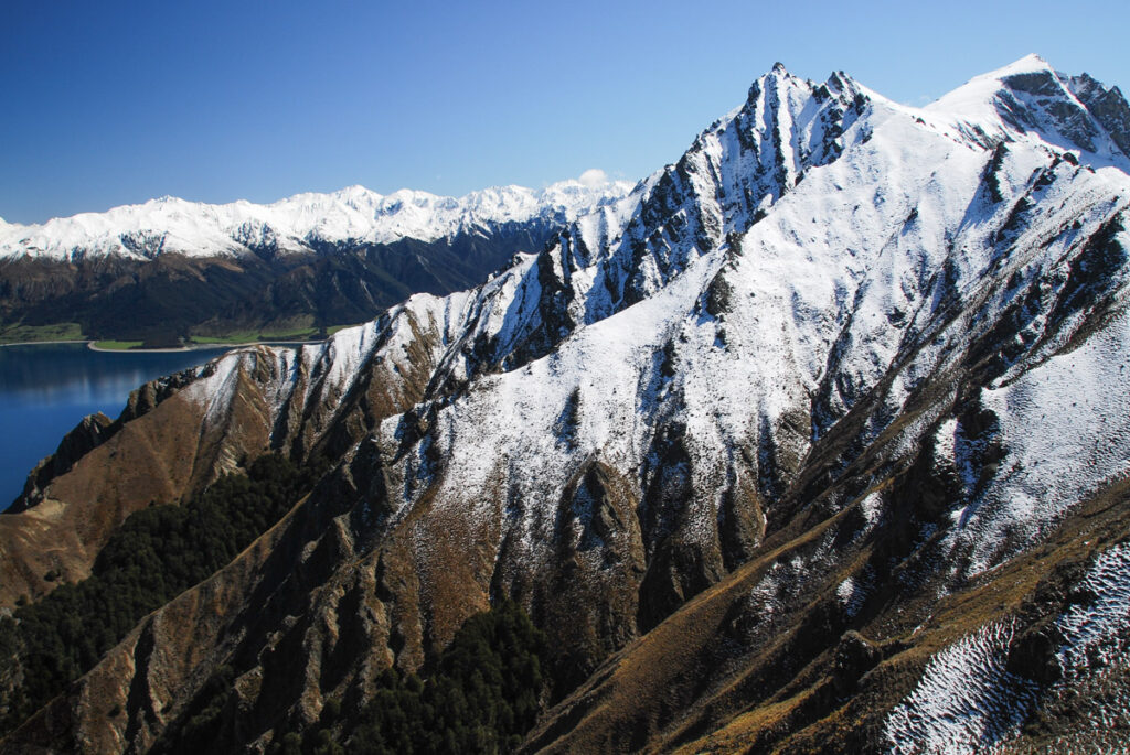
Corner Peak is one of the peaks on the range flanking the eastern shore of Lake Hāwea. The side which this range faces the lake is very steep, towering up above the lake and leaving minimal space to the shore. Like its name suggests, this peak is at the “corner” where the main ridge turning east toward Dingle Peak. At the elevation of 1683 m, Corner Peak is merely 2.2 km away from the lake. It is hard to miss this sharp peak on a prominent range while driving along the Highway 6 on the other side of the lake from the southern side until passing the neck between Lake Hāwea and Lake Wānaka.
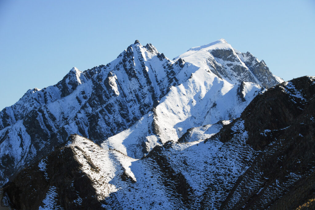
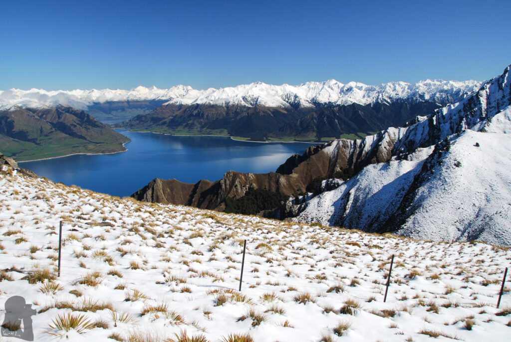
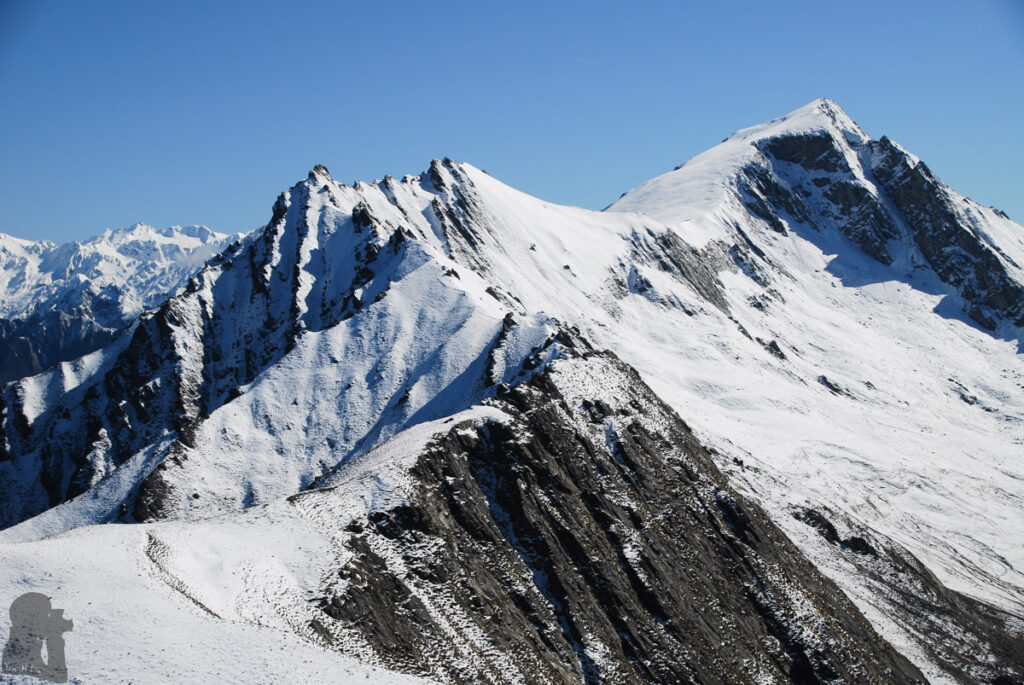
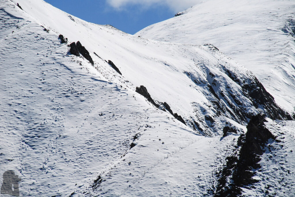
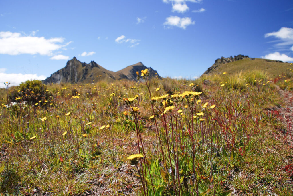
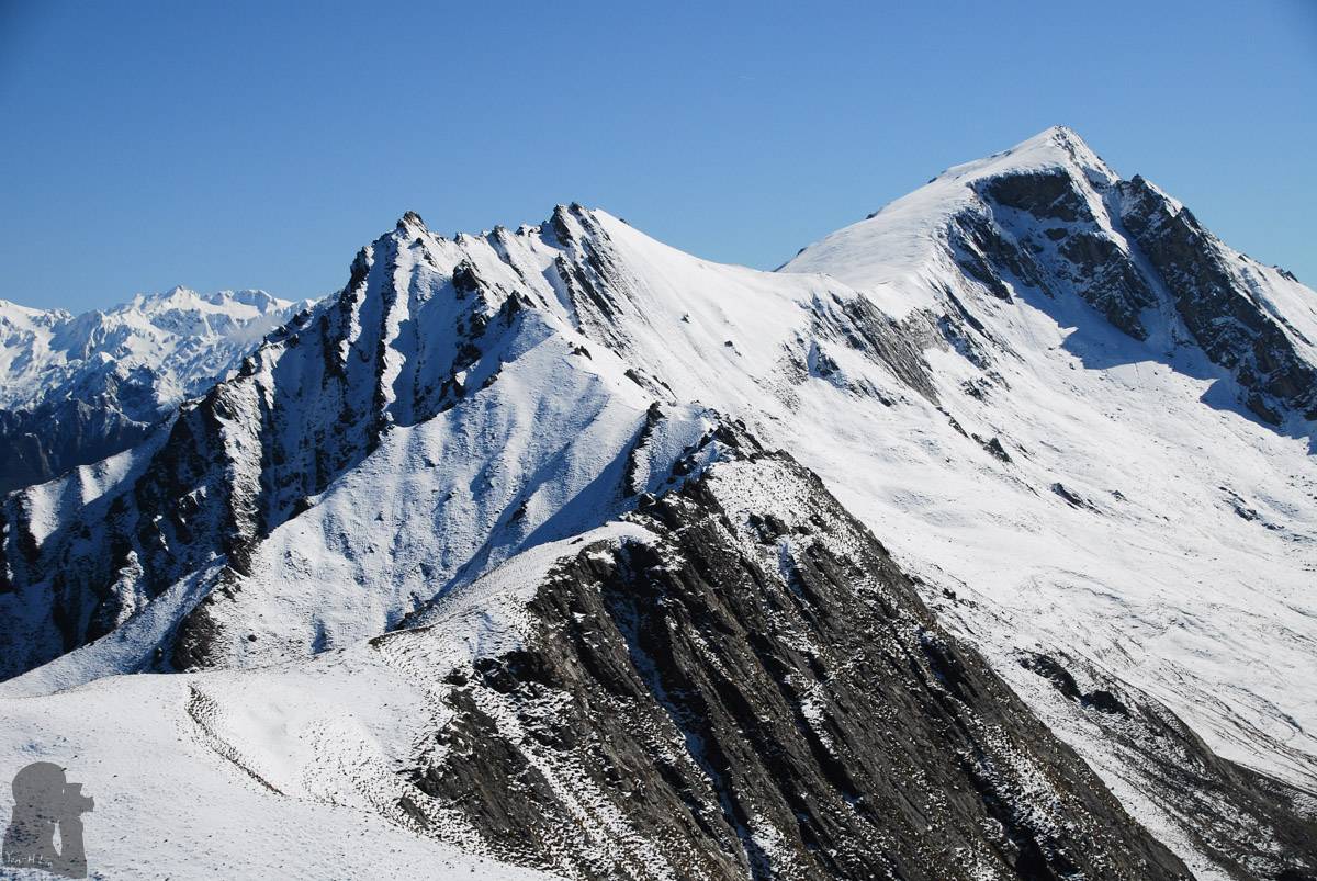
My first attempt to climb the peak in October 2016 was not successful. The snowy trail in the mid-spring made my move slow and navigation difficult. I decided to turn back around half way on the ridge. Even I did not make it, but the splendid snowy scenery along the ridge was truly amazing. In January of the next year, the climb to the peak was fulfilled when the landscape already turned to green from white.
Generally this is a challenging day hike which requires a reasonable level of fitness and some navigation skill. Doing some research in advance for more route information is important.
To know more information about the track, check the article from DOC and this famous blog
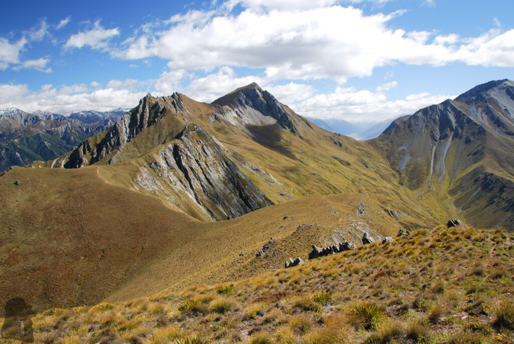
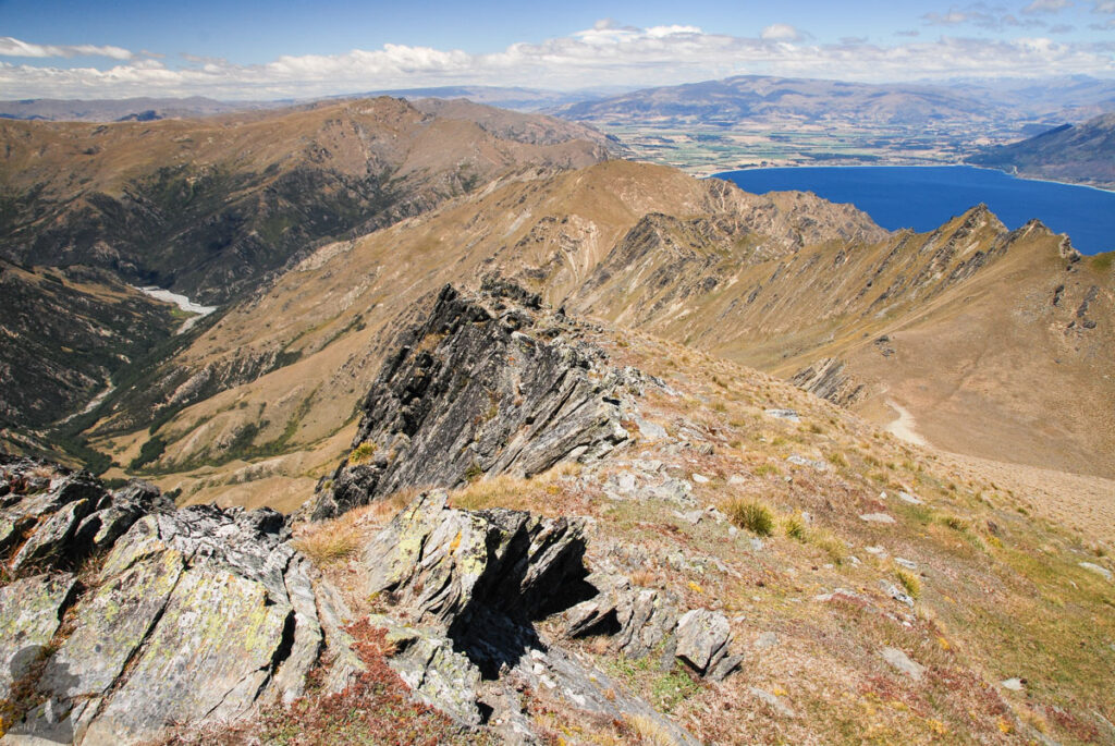
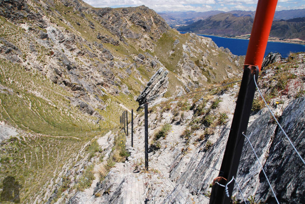
The net altitude gain from the car park to the peak is more than 1200 m which took me considerable effort to complete. There were sections of sidling along the narrow trail and also a few scrambles, but nothing was very difficult. Once passing the poled trail on the ridge, there was still a trail to follow, but it might be faint from time to time. When arriving the broad saddle in front of the peak, I took a break before the last 200 m ascent to the top.
If the snow covers the impact trail or if you are not confident in route-finding on an unmarked trail, you need to reconsider the plan. I did not see anyone else during my two hikes there and based on the number of reviews on Google Map it appears the route is not popular at all. You may not find someone to help you if you are in trouble. Easier hikes such as Isthmus Peak Track or Roys Peak Track are good alternatives nearby. They also offers beautiful and stunning view to reward the hikers.