The content on this website is published in English. I cannot guarantee the quality of the translated text generated by the plugin of this website. The machine-translated “names” and “terminology” are often inconsistent and/or incorrect. If it looks confusing, please switch back to the English version.
Disclaimer: Information such as the locations or the trails shown on the maps of this website might be inaccurate, misleading or out-of-date. They are only the simple illustration for the ranges of the hiking trails or the points of interest. Please prepare your own navigation device, apps, topo maps, and GPX files for hiking.
About Sentinel Peak and the climb
The Difficulty Rating: ★★★★☆
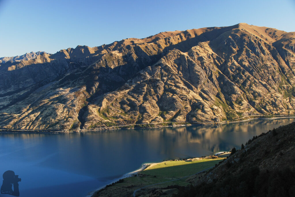
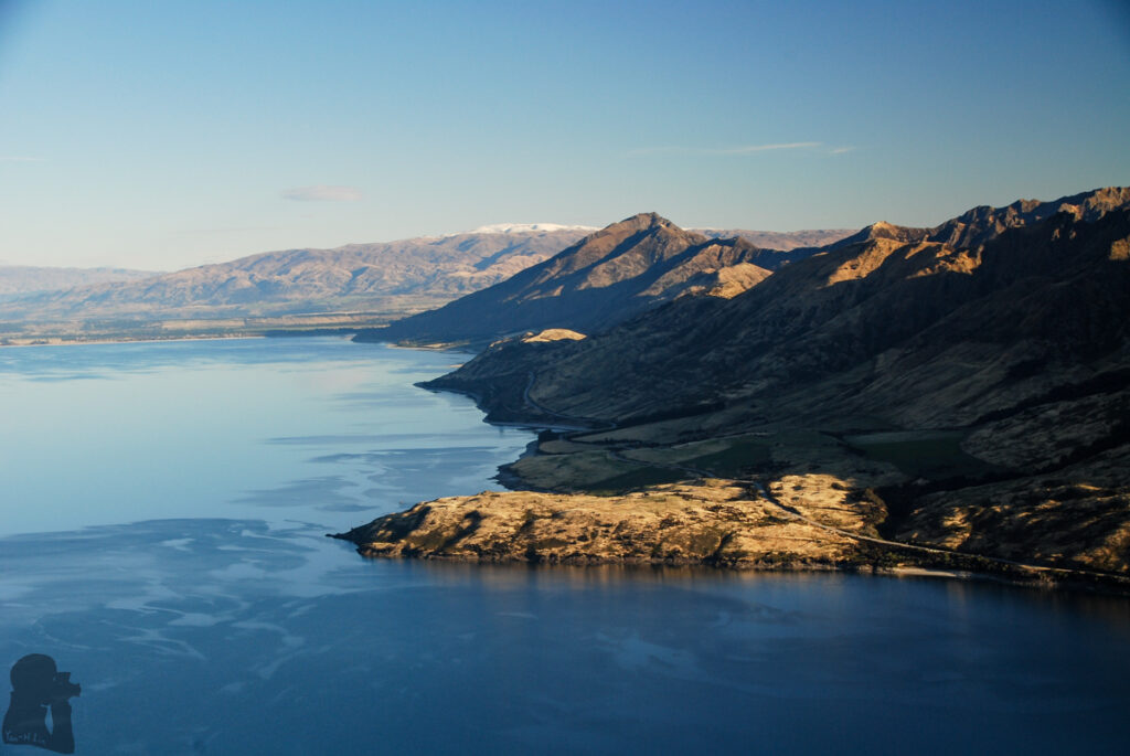
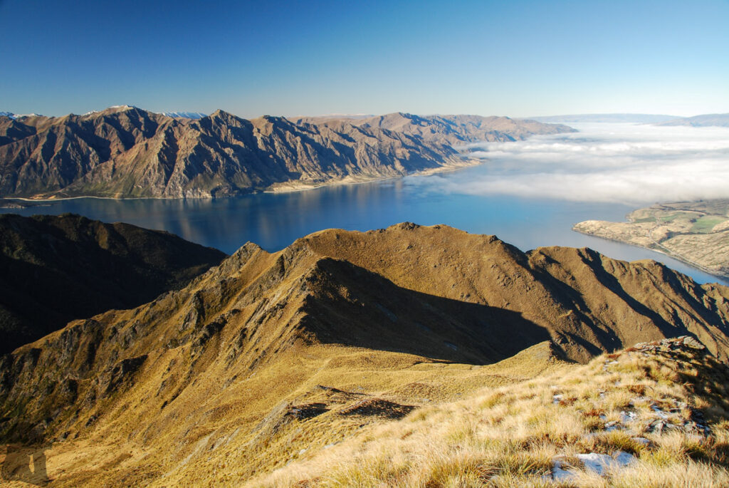
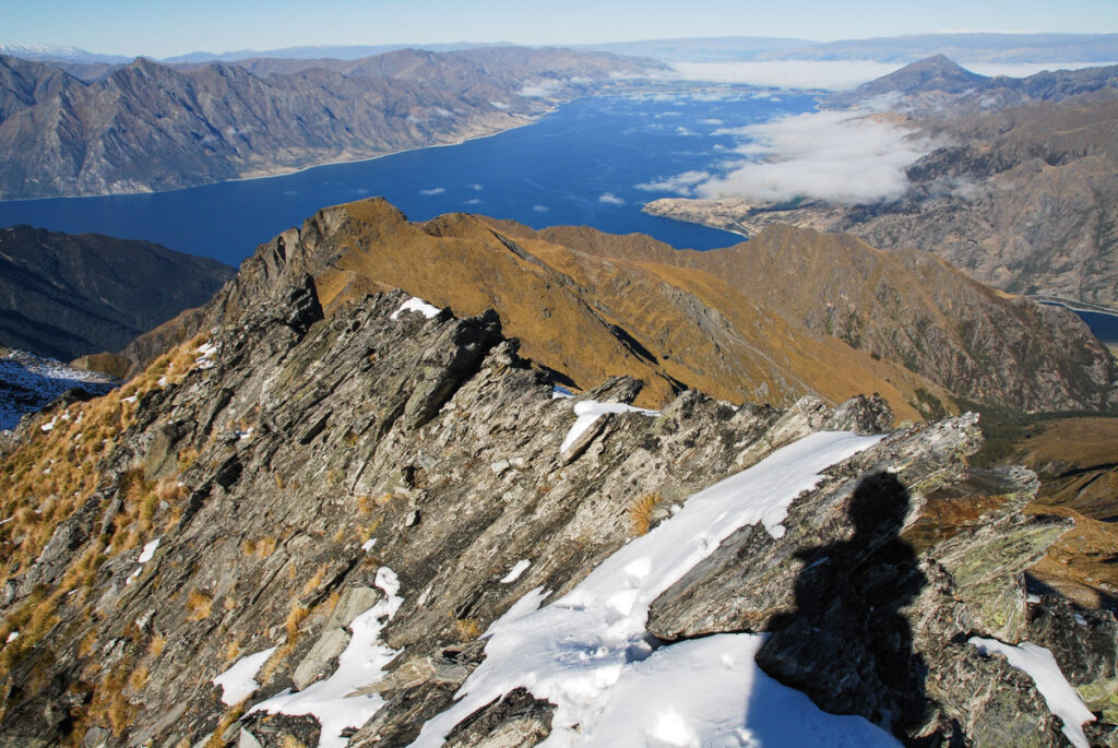
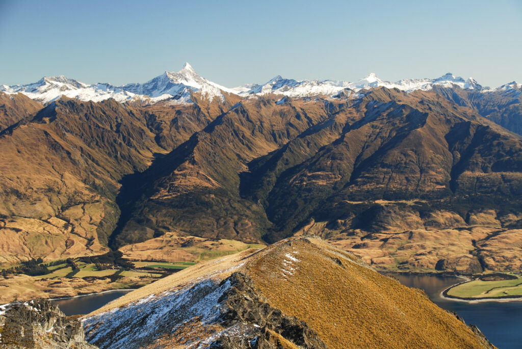
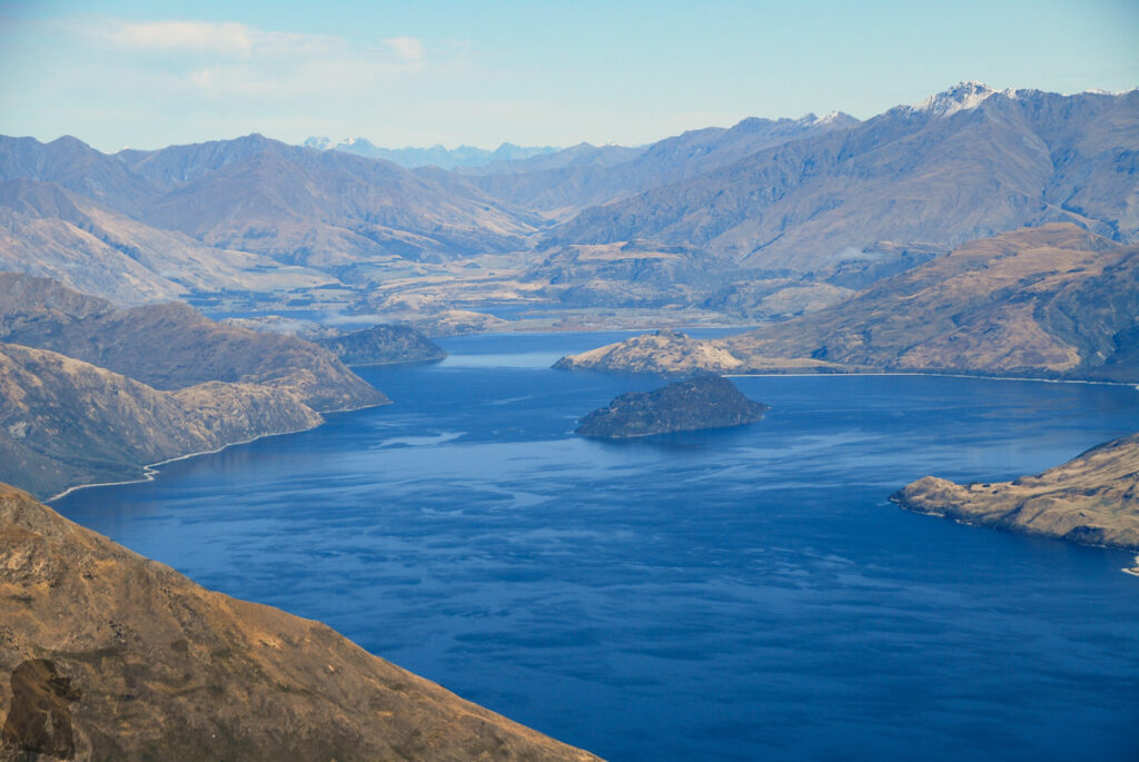
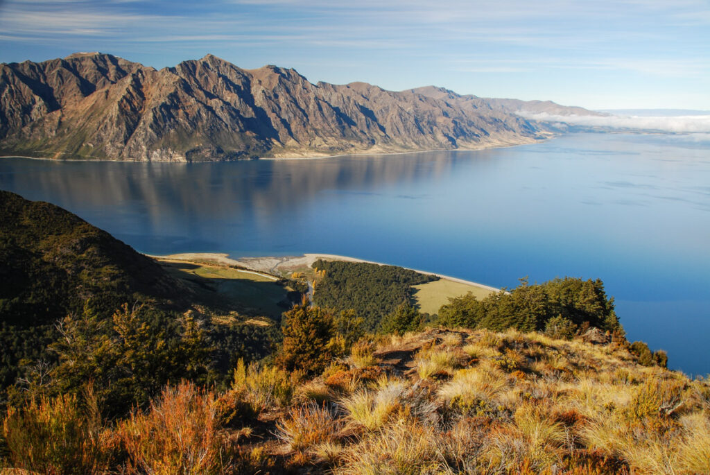
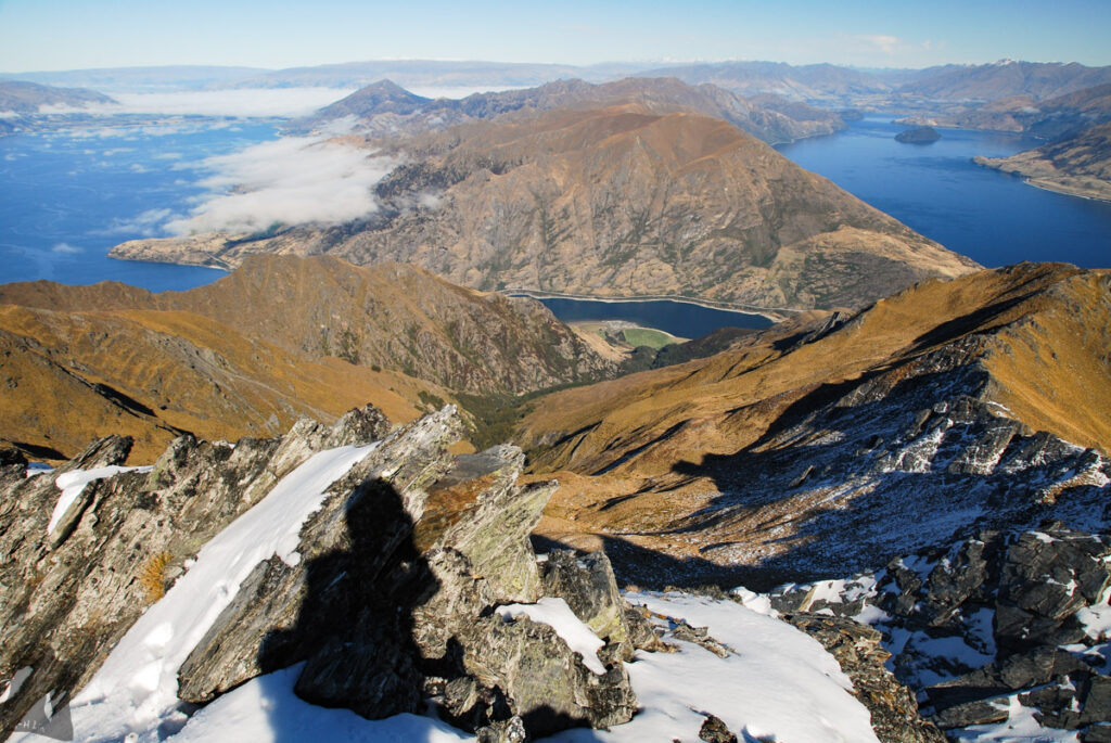
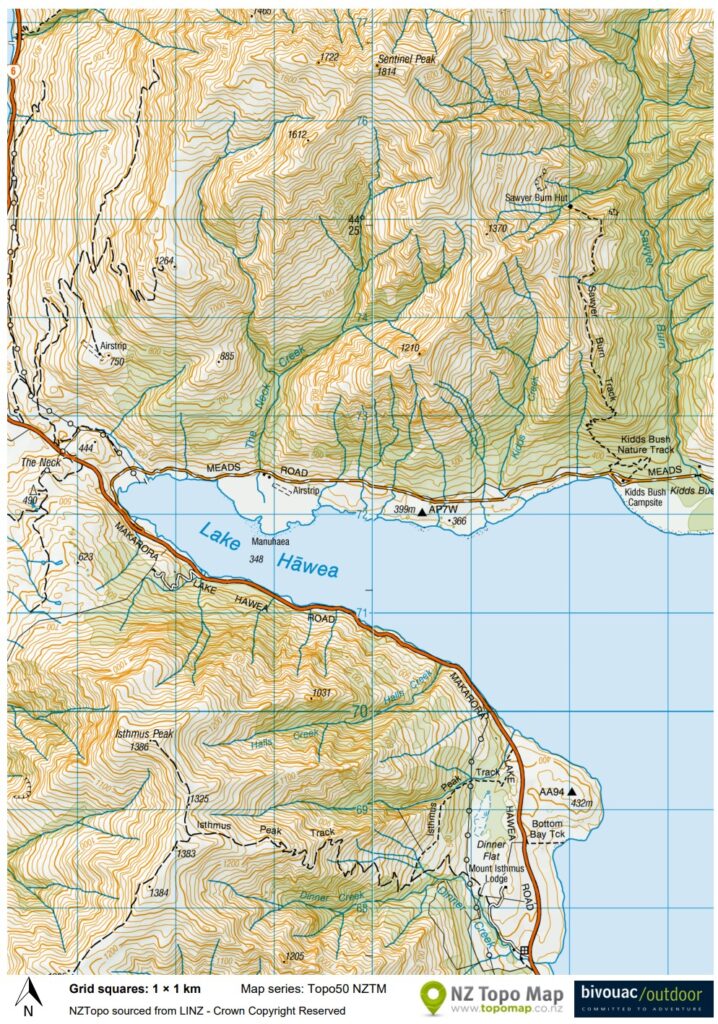
Sentinel Peak, a peak 1814 m tall, overlooks Lake Hāwea and Lake Wānaka on either side. In comparison with other trails I hiked nearby, Isthmus Peak Track, Corner Peak Route and Roys Peak Track, the climb to Sentinel Peak was more challenging because the difficult section of the route was off-trail.
I did this hike in May 2017. When I did some research again in 2026, I found two recent trip reports mentioning they ascended to the peak via a different route from mine. So if you want to climb Sentinel Peak, please check more updated information such as this one in stead of my old memory.
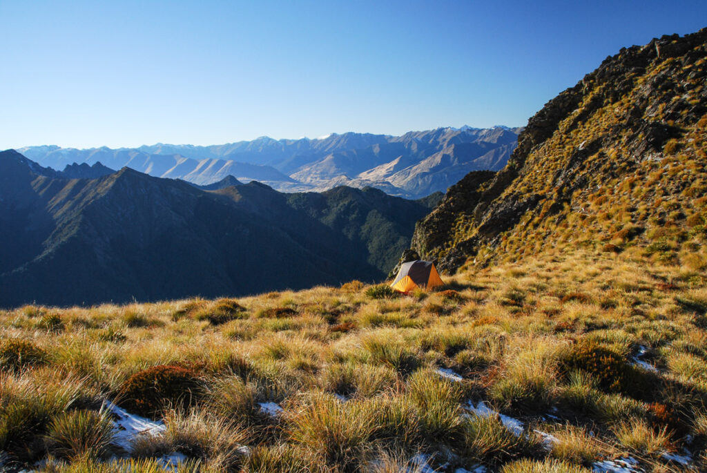
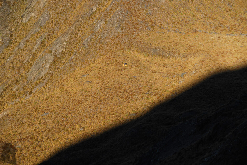
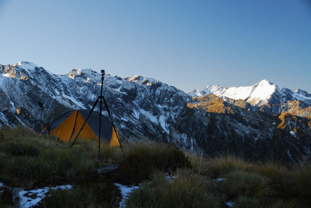
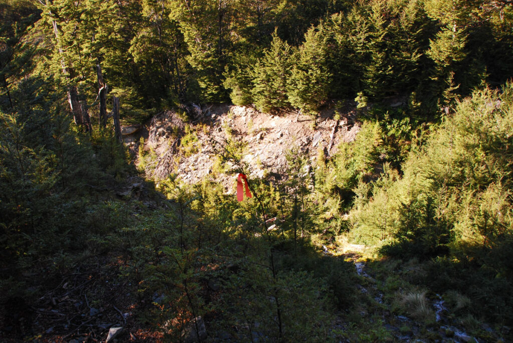
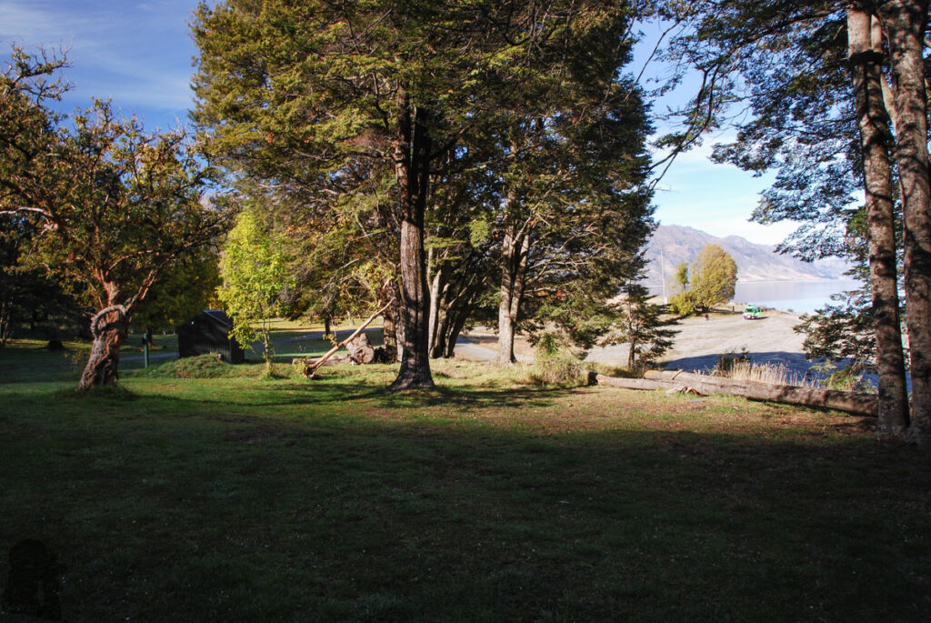
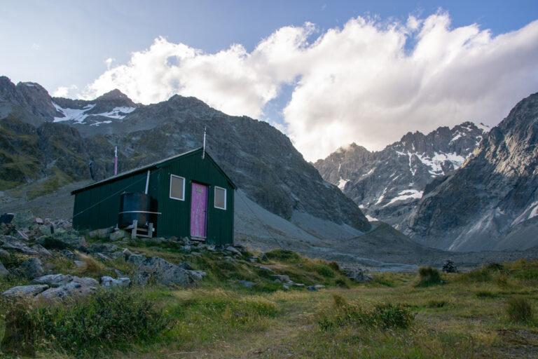
Back then, I hiked to Sawyer Burn Hut first, where the track ended, and started a tricky ascent after crossing a small stream. The climb was steep inside the bush where had no trail to follow. Before leaving the bushline, I saw two or three “trail marker-like” strips hanging on the shrubs (not DOC trail marker), which gave me some confidence to proceed. Once reaching the ridge I pitched my tent at a saddle near Pt 1370.
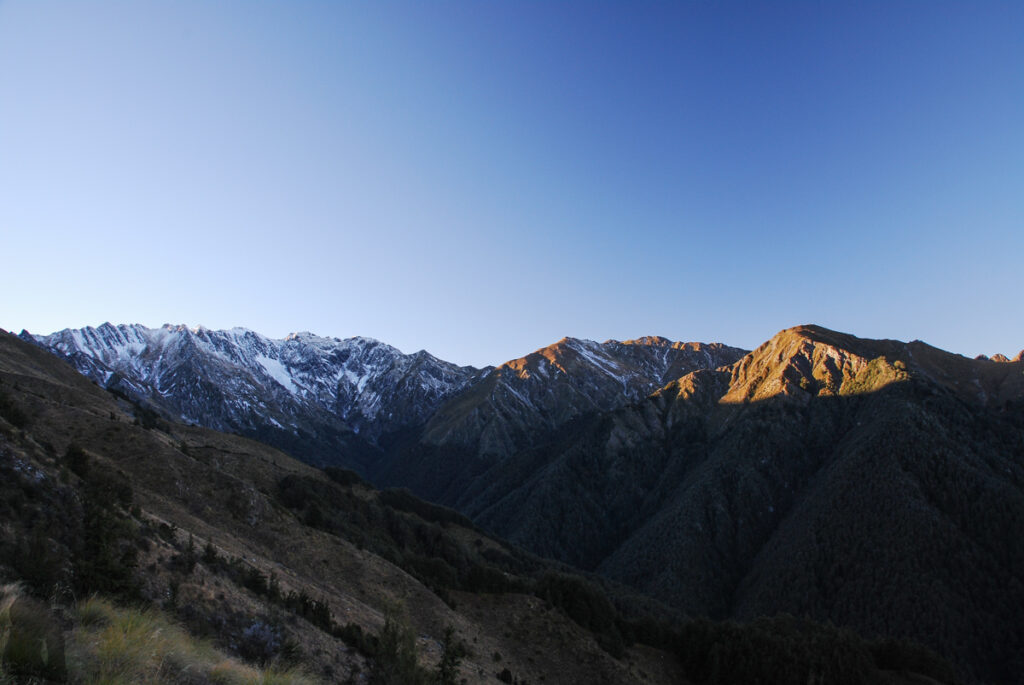
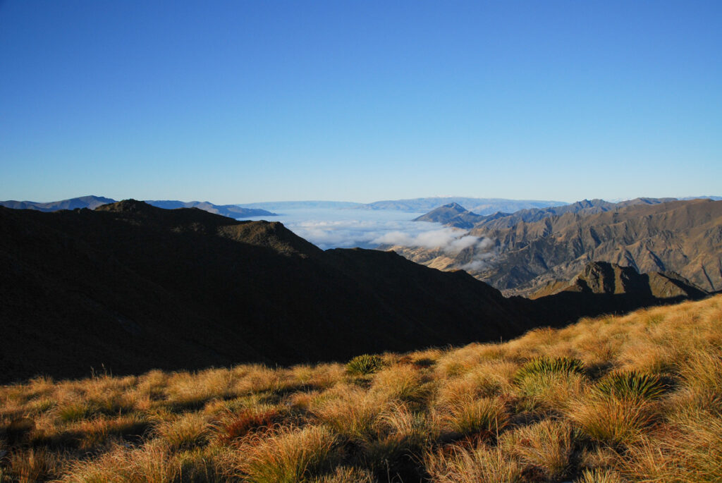
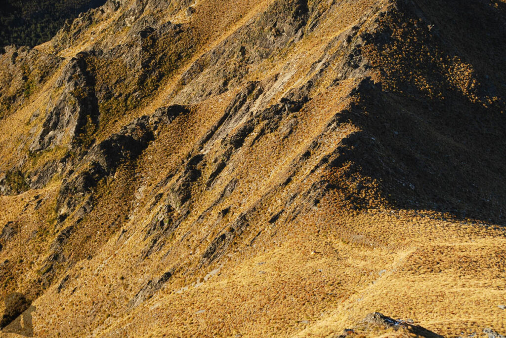
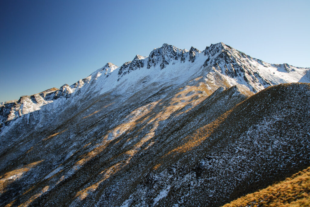
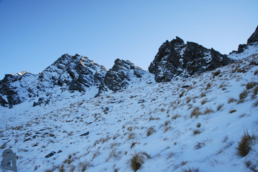
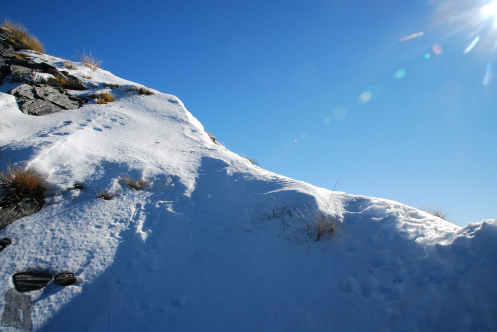
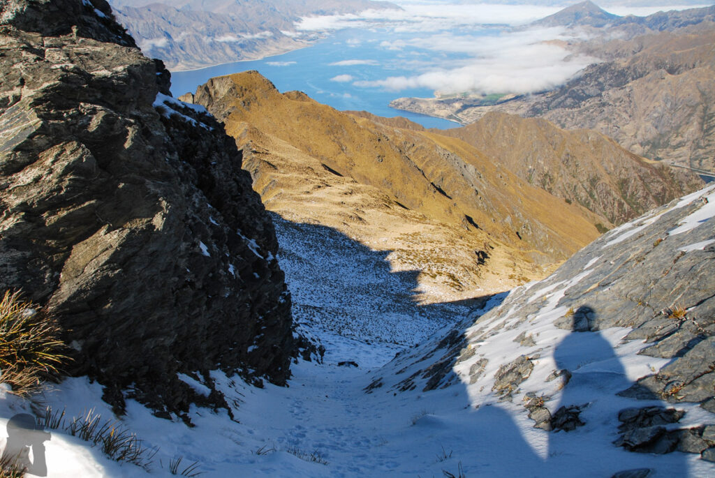
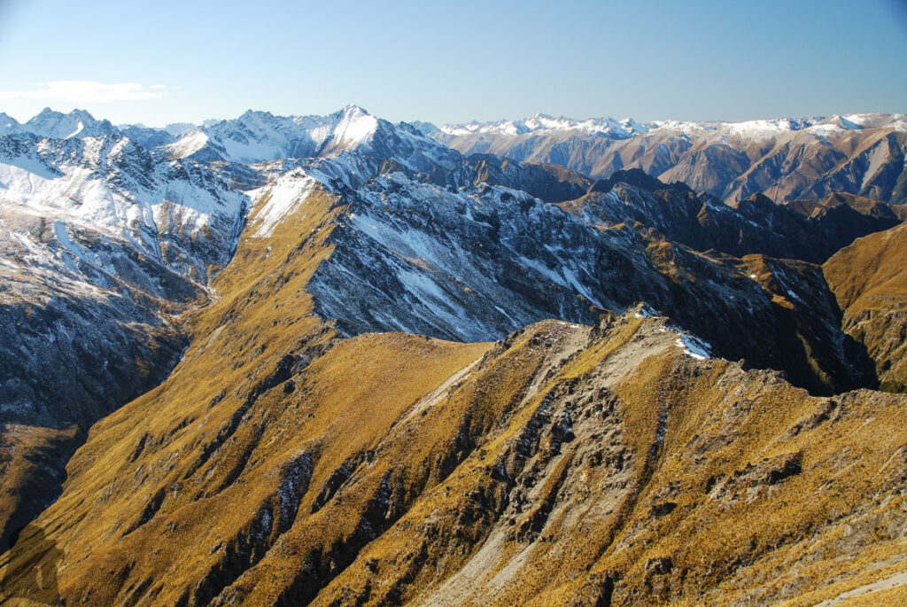
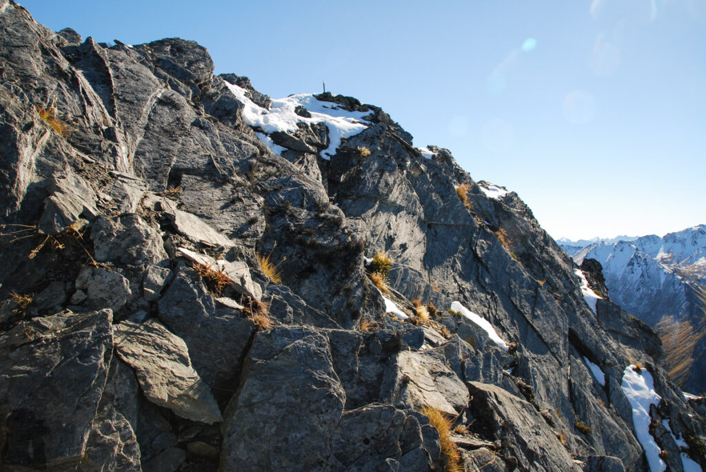
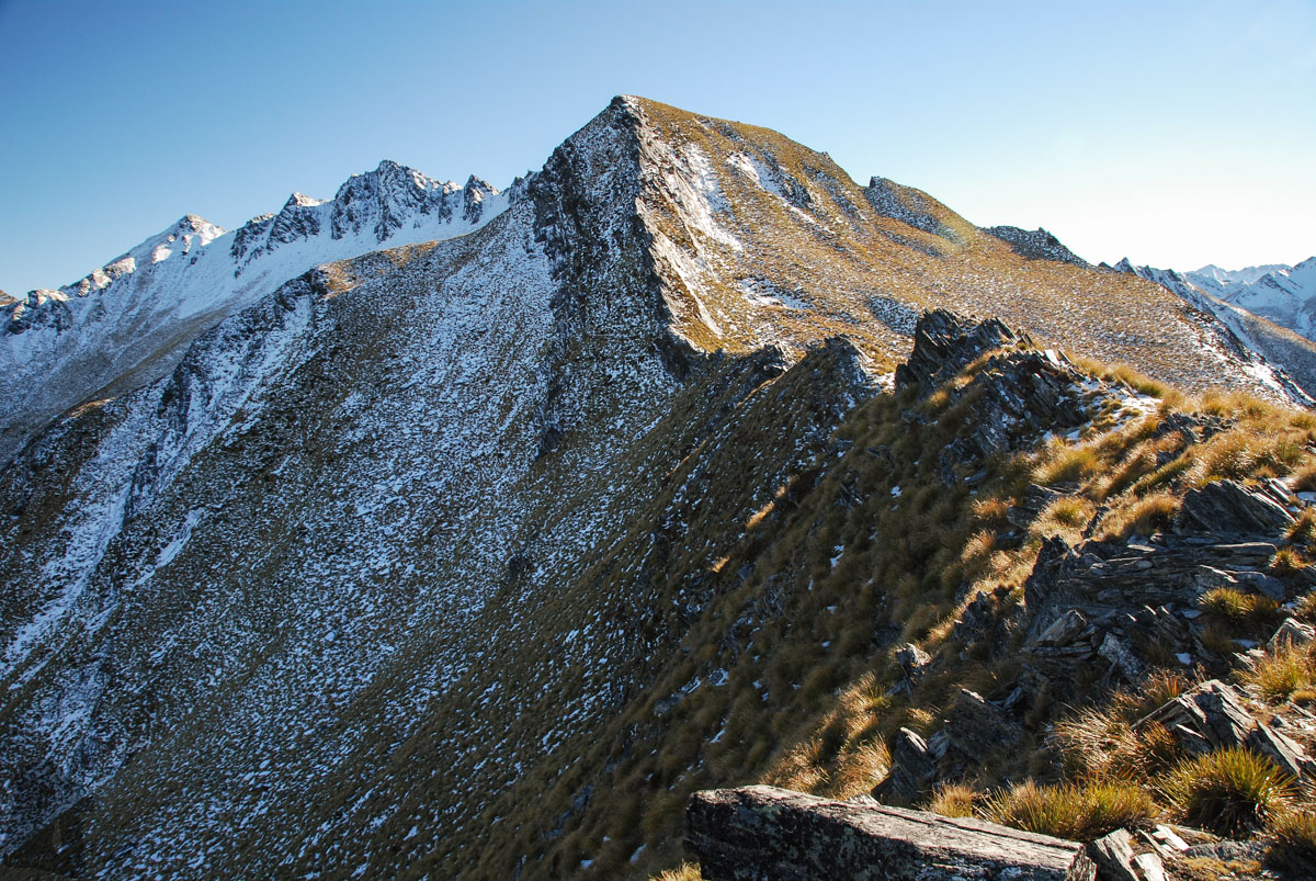
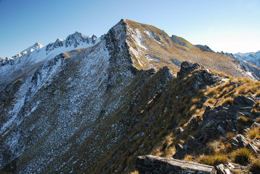
The next morning I climbed the peak by moving on the ridge first where I needed to either scramble and avoided some dangerous spots. Basically I had to choose a safer route myself toward the summit as I did not have any GPX file to guide me. When arriving the tussock slope below the prominent rocky peak, snow had covered most of the place including a few chutes that led to the serrated ridge. I climbed a chute which was similar to the one I saw from a trip report. The path on the final rocky section to the summit was pretty narrow and exposed, but this risky section was short.
After having some nice photos taken at the peak of very limited space, I descended via the same route. Happily spending one more night in my tent, I finished this small adventure on the third day.
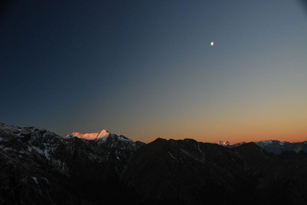
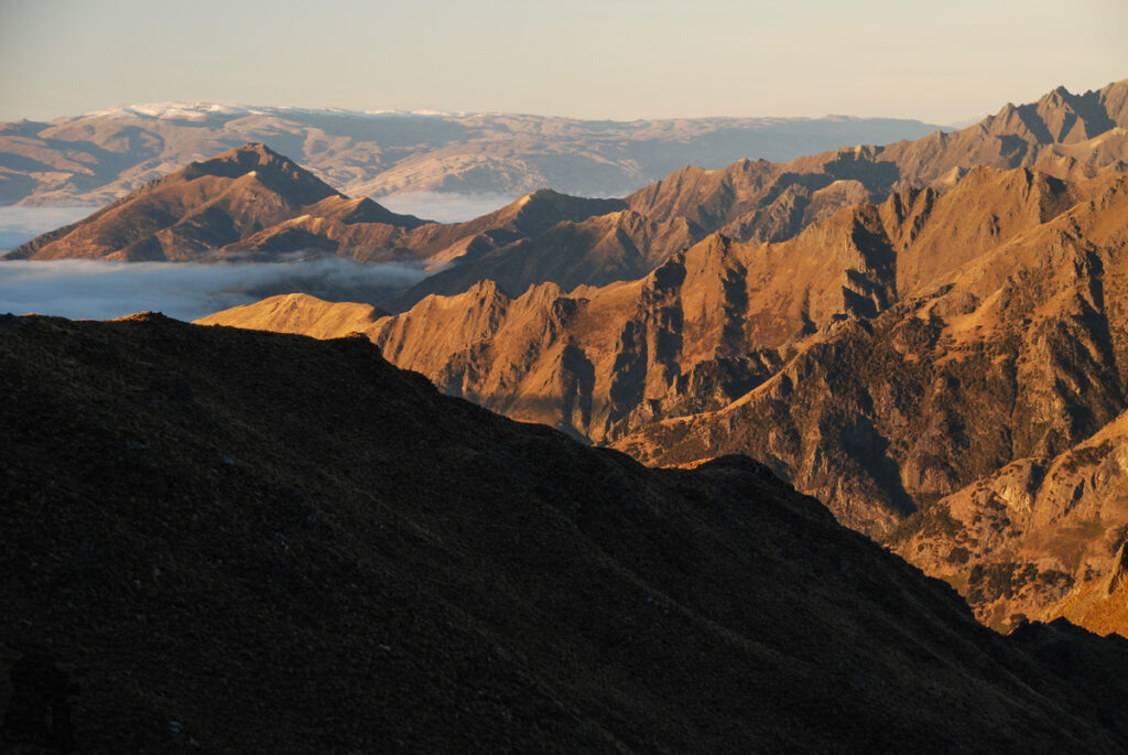
Overall, this route is not for hiking beginner. Navigation, route-finding and sound judgment are all required. People who is afraid of heights may struggle more. It might be a big day hike, but I opted to do it with more days purely for taking more good photos.