The content on this website is published in English. I cannot guarantee the quality of the translated text generated by the plugin of this website. The machine-translated “names” and “terminology” are often inconsistent and/or incorrect. If it looks confusing, please switch back to the English version.
Disclaimer: Information such as the locations or the trails shown on the maps of this website might be inaccurate, misleading or out-of-date. They are only the simple illustration for the ranges of the hiking trails or the points of interest. Please prepare your own navigation device, apps, topo maps, and GPX files for hiking.
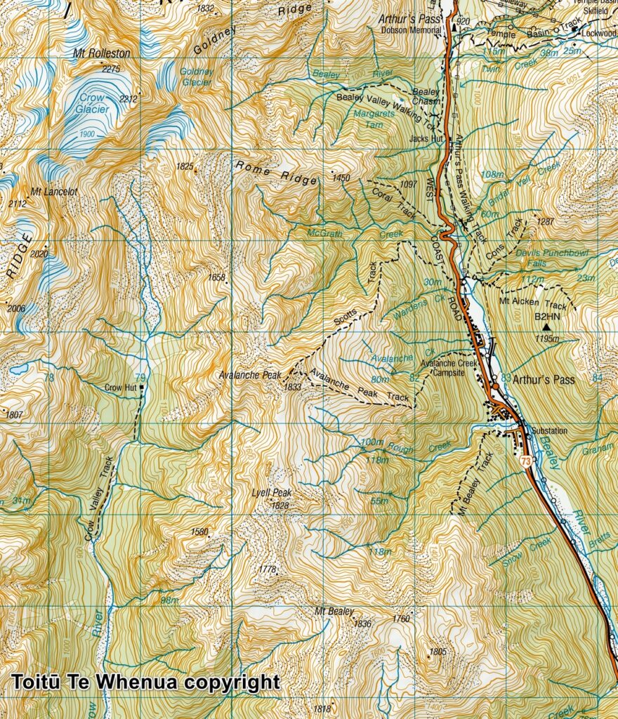
Sourced from Topo50 Map BV20 Otira. Crown Copyright Reserved
About Mt. Bealey – Avalanche Peak Traverse
The Difficulty Rating: ★★★★☆
I had this hike nearly 10 years ago. Details about the route from my memory may not be up-to- date or correct. I did some research again in 2026 to reorganize my faded memory and attempted to leave some comments for this trip and my photos. But please do find other recent trip reports for the update.
Mt. Bealey – Avalanche Peak traverse is a challenging day hike in Arthur’s Pass National Park. The trail heads of both peaks are not too far between each other along the SH 73. You can hike either in counter-clockwise or clockwise direction depending on which trail head you start.
There are a couple of things to know before the hike:
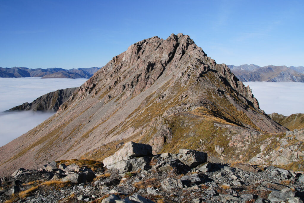
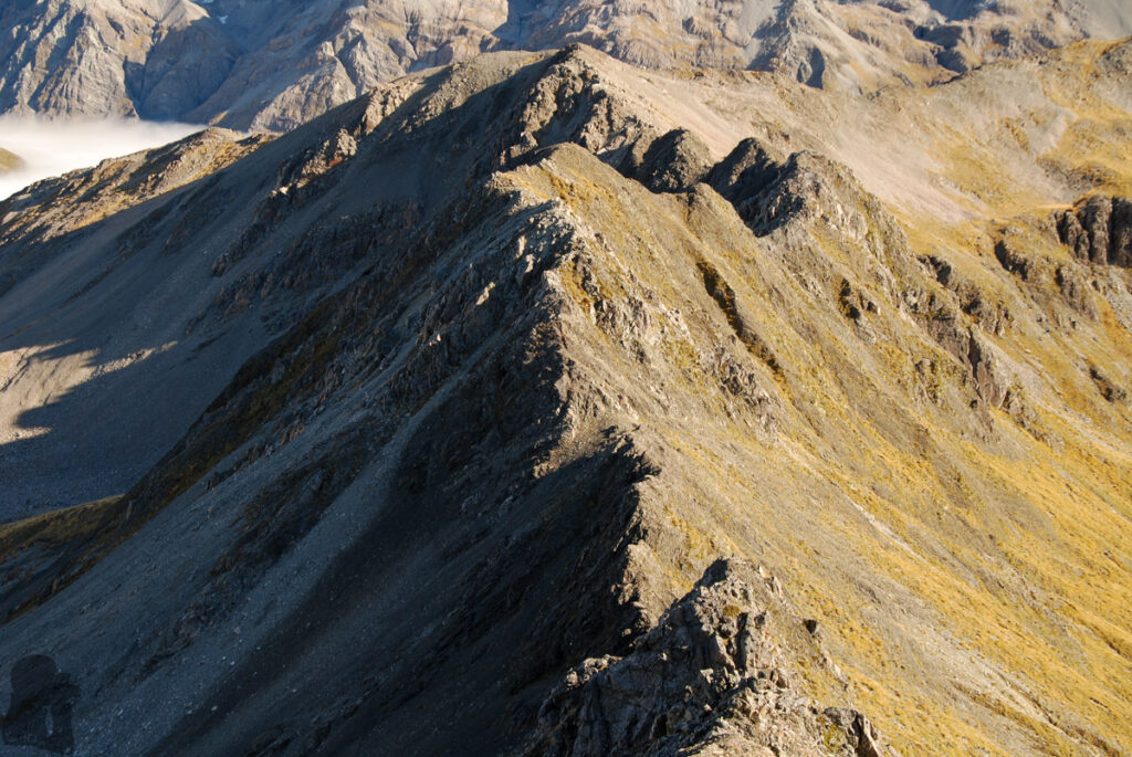
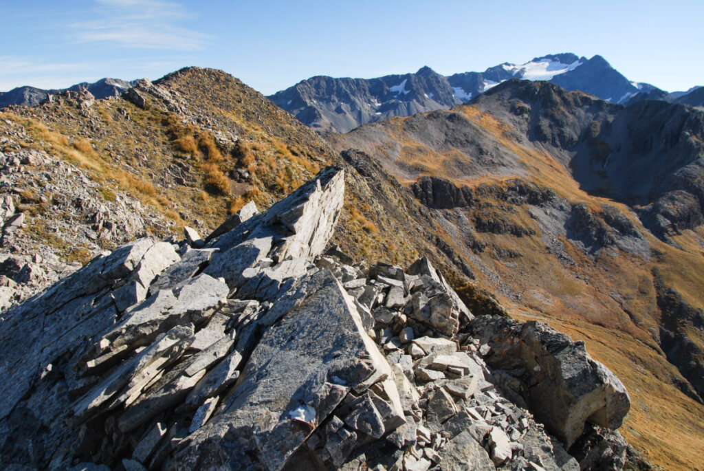
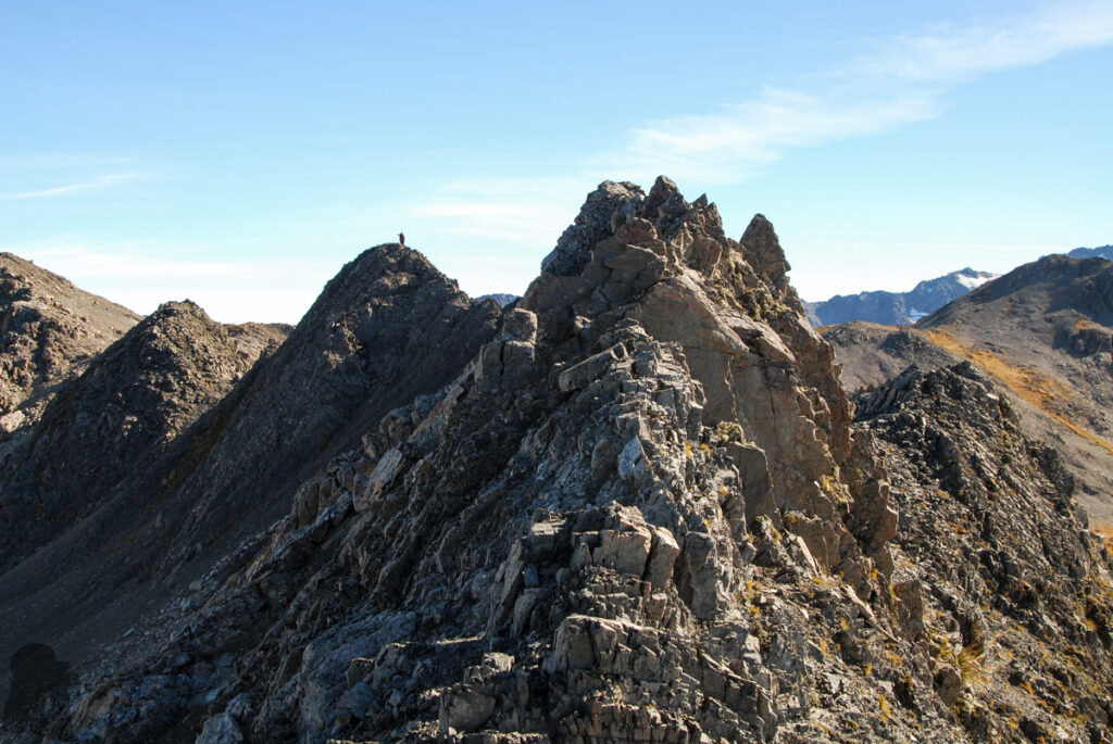
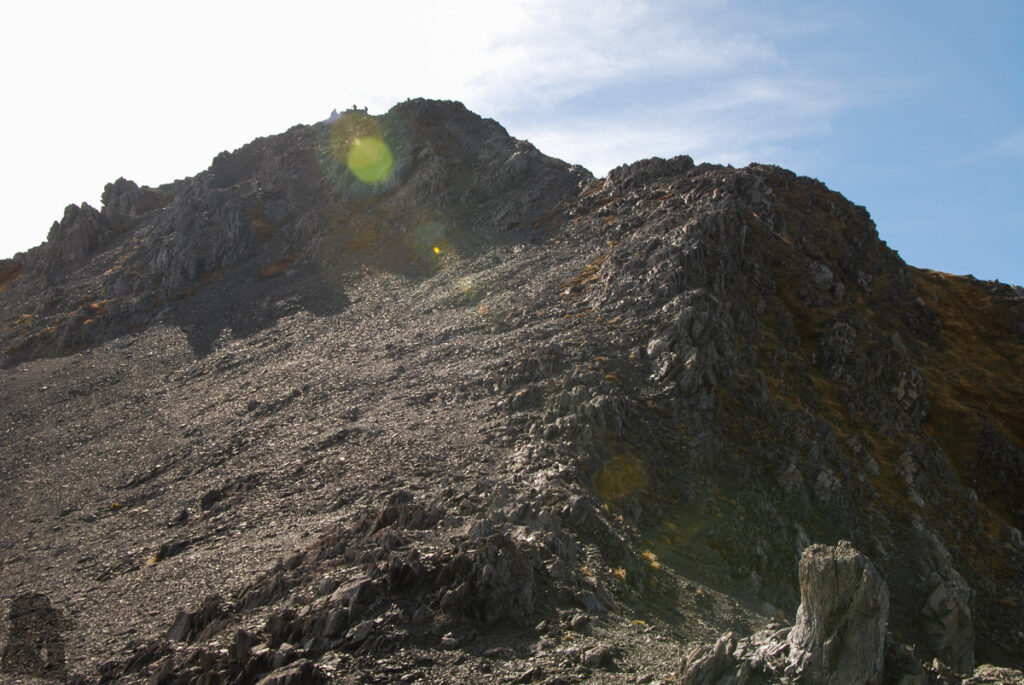
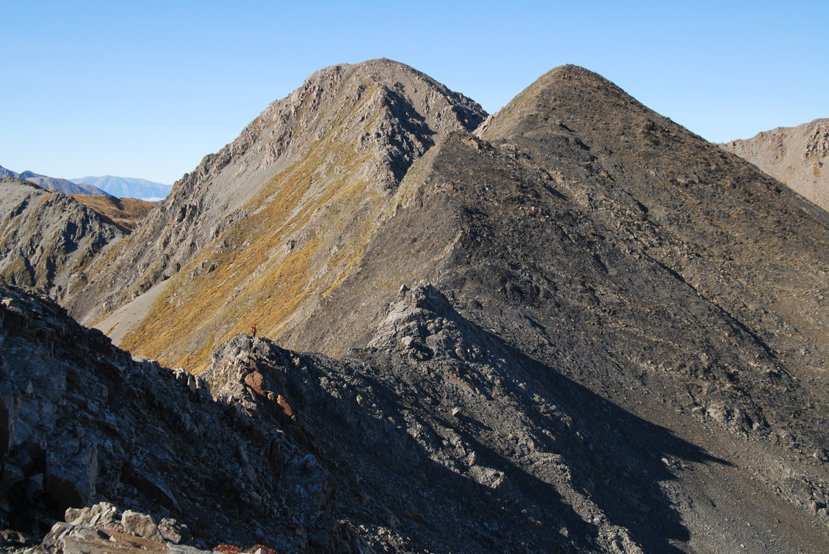
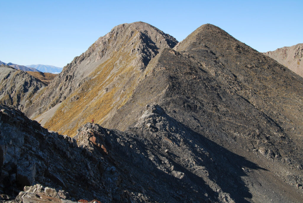
Mt. Bealey Track ends at the bushline. The route between Mt. Bealey Track and Avalanche Peak is unmarked. The section between Mt. Bealey and Lyell Peak (or more precisely between Mt. Bealey and Point 1778 m) is where you need to scramble along the steep ridge. No matter which side you start the hike, the net elevation gain (to the peaks) will be more than 1000 m, not including those many small ascents (and descents) between the peaks.
Therefore if you prefer to hike on a well-formed and marked track and are not confident of route-finding on steep and exposed terrain, then this hike is not for you. From my experience the navigation was not difficult as most of the route was along the ridge line (providing the visibility allows you to see the ridge and the peaks that you are heading to). But it is always helpful to carry a navigation device with the off-line topomap. Bringing enough water and snack is important too.
In April 2016, several months after the hike to Avalanche Peak, I read some trip reports mentioning this challenging route. I decided to give it a try as it seemed the hike was not very technical.
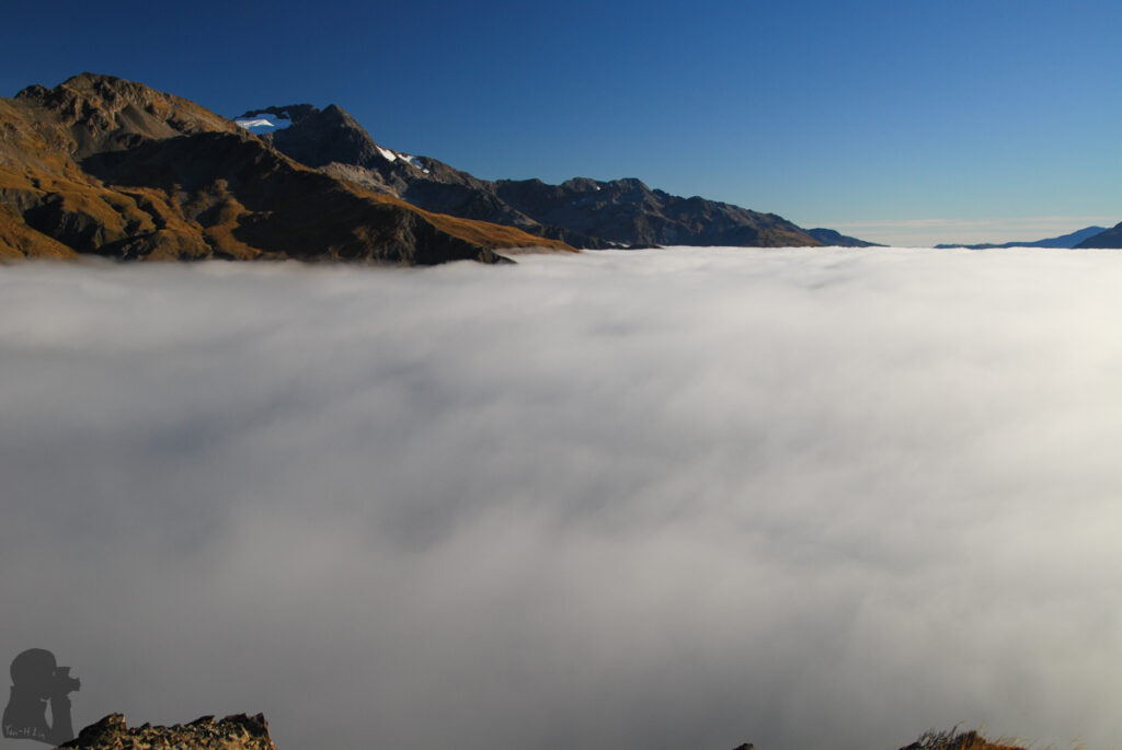
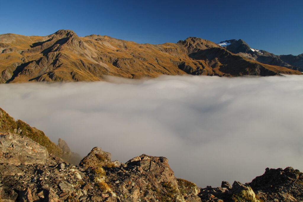
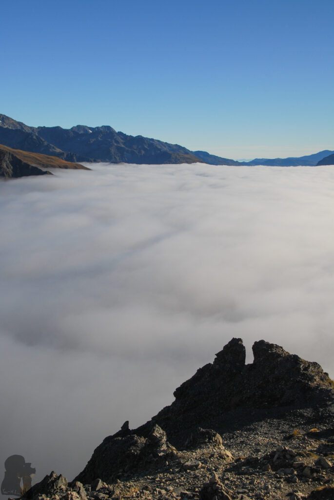
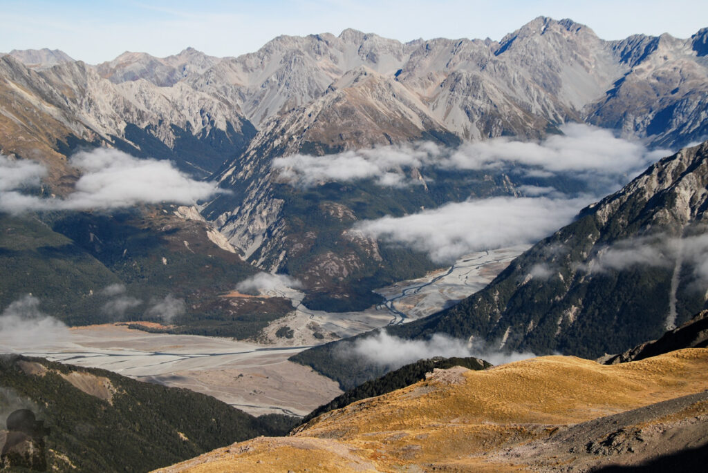
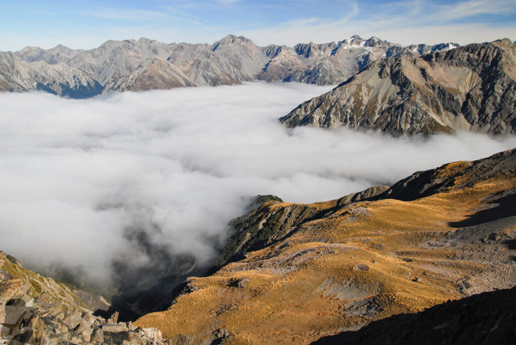
After my partner dropped me off at the end of Mount Bealey Road in the morning, I began the solo hiking. The first section in the wood was nothing special, not a single photo was taken. The view open up once passing the bushline.
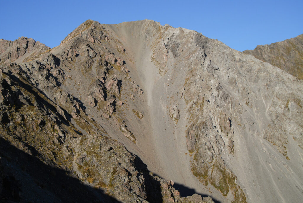
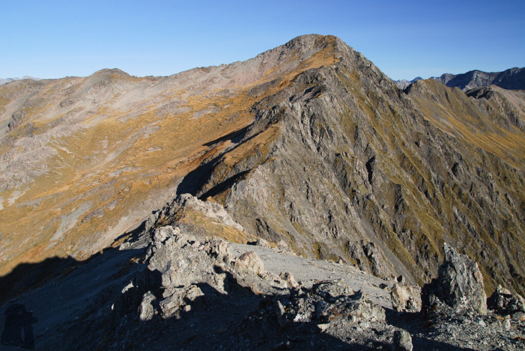
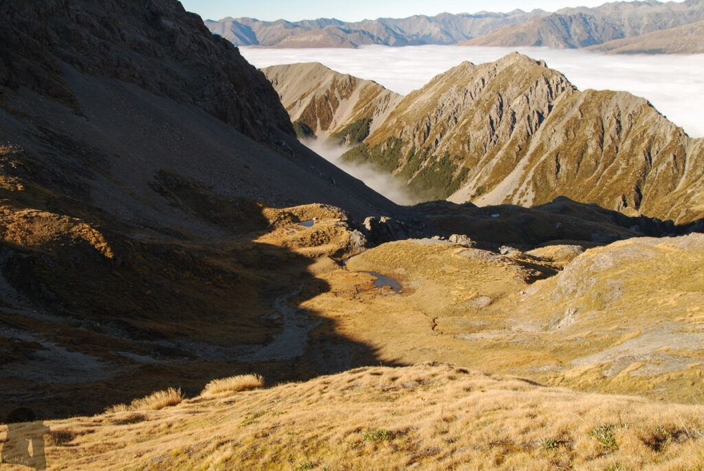
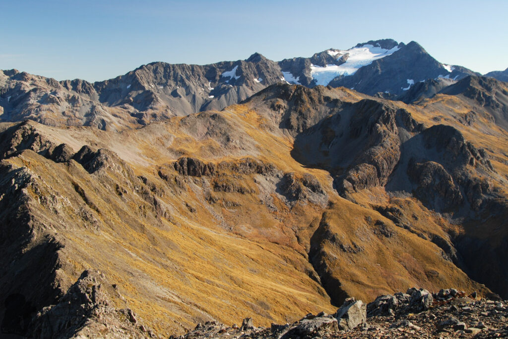
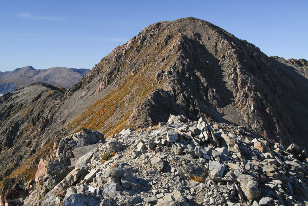
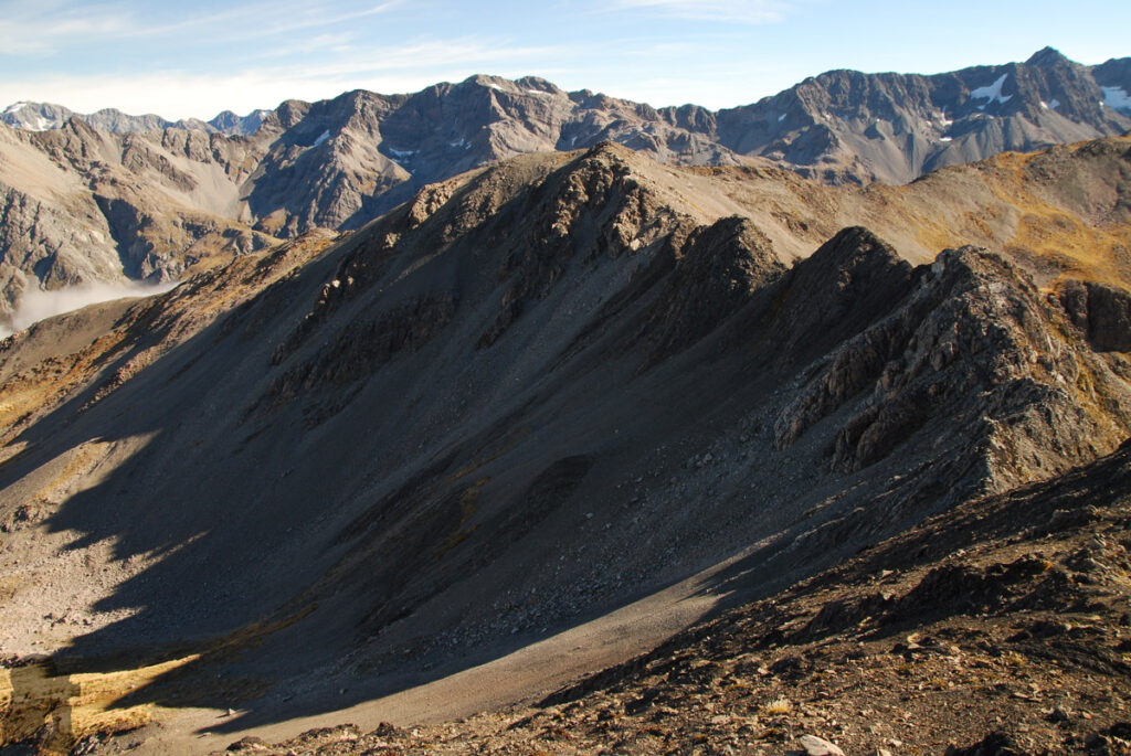
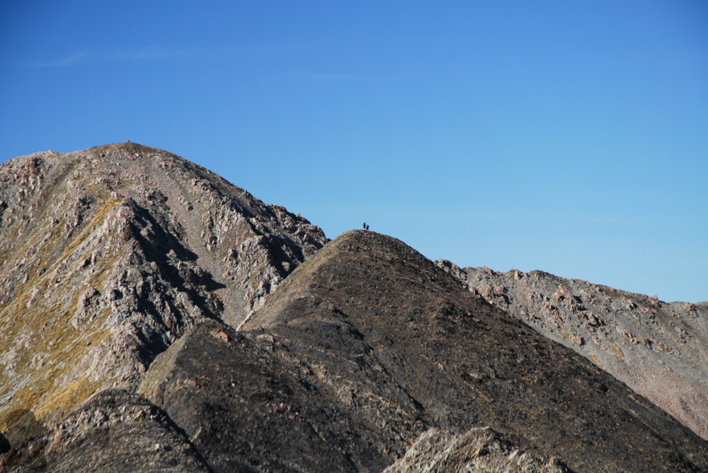
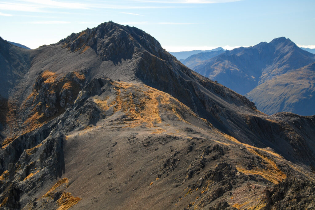
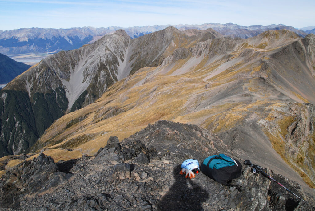
The hike to the top of Mt. Bealey was straightforward but the following section to Lyell Peak (or mainly to Point 1778) required sound judgment to keep the footing. Nothing was very risky if you could negotiate those humps on the ridge carefully and slowly. Before reaching Avalanche Peak, I only met a team of two ladies who came from the opposite side. The terrain after Lyell Peak was relatively smooth until the last uphill section to join the popular Avalanche Peak.
I descended to the highway via Scotts Track which seemed more knee-friendly. My partner came to pick me up after her coffee time in the village, making a happy ending for my solo adventure.