The content on this website is published in English. I cannot guarantee the quality of the translated text generated by the plugin of this website. The machine-translated “names” and “terminology” are often inconsistent and/or incorrect. If it looks confusing, please switch back to the English version.
Disclaimer: Information such as the locations or the trails shown on the maps of this website might be inaccurate, misleading or out-of-date. They are only the simple illustration for the ranges of the hiking trails or the points of interest. Please prepare your own navigation device, apps, topo maps, and GPX files for hiking.
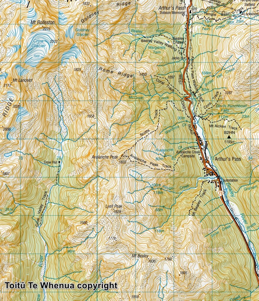
Sourced from Topo50 Map BV20 Otira. Crown Copyright Reserved
About Avalanche Peak and the round hike
The Difficulty Rating: ★★★☆☆
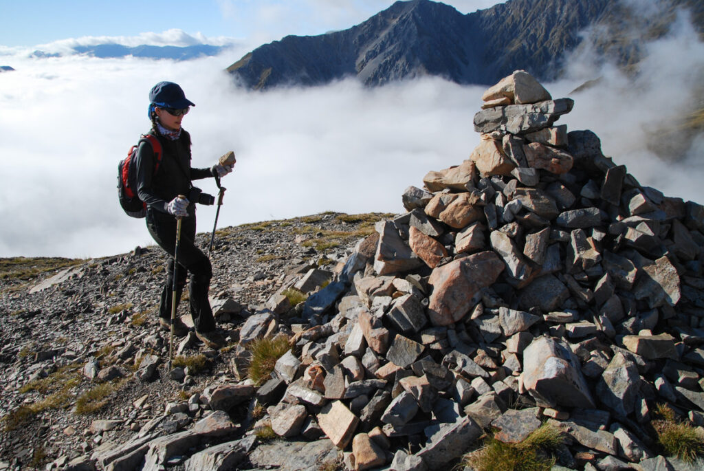
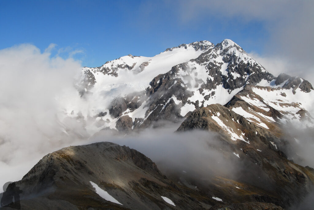
Avalanche Peak is probably the most accessible or even the busiest peak in Arthur’s Pass National Park.
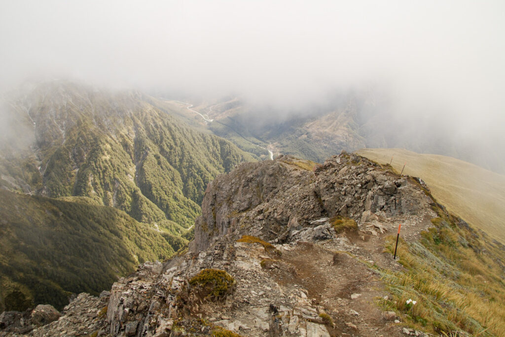
Most of other hiking trails along SH 73 between Arthur’s Pass village and Otira only end around bushline and you need to be experienced enough to go beyond those tracks. Unlike those shorter trails, you can follow the marked route all the way to the summit of Avalanche Peak.
There are two trails leading to the summit. The general recommendation is to ascend the peak via Avalanche Peak Track and then descend back to the highway via Scotts Track. Therefore, you will have a steep climb first, followed by a relatively gentle descent, which may be safer or more friendly to the knees if you care about them. But it is fine as well if you want to hike the other way around.
As it is only 700 m between the two trail heads along the highway, you can easily make the route nearly a loop for a day hike (DOC advises that it is unsafe to walk on the highway; Scotts Track ends / starts at Punchbowl car park). I guess that is one of the reasons that visitors are so fond of this peak.
The hike to Avalanche Peak is suitable for hikers who want to advance from a beginner’s level or who wish a not too difficult challenge to test the fitness condition. The net elevation gain of 1100 m to reach the summit and a few rocky and steep sections might be demanding for novices but could be just a breeze to others.
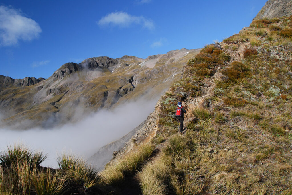
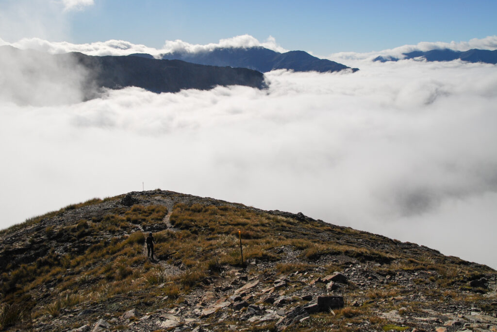
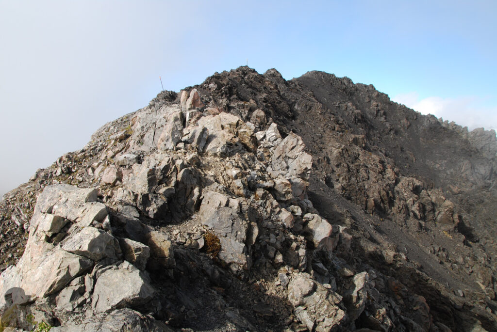
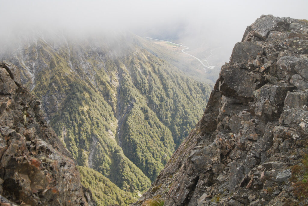
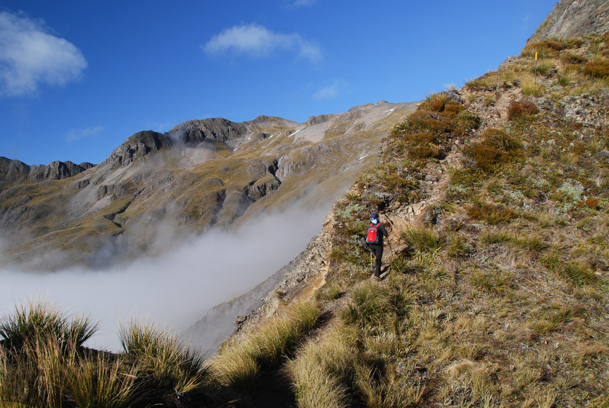
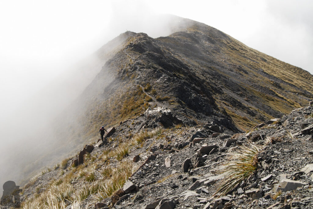
My partner and I hiked on these trails in December 2015, a fairly long time ago. All I could recall now was that the rocky ridge section near the peak, narrow and exposed, but nothing was really dangerous. If you hike on a fine day, the navigation should be simple as long as you stay on the track. DOC provides detailed information about the routes to Avalanche Peak.
Several months later, I hiked to Avalanche Peak again but via Mt. Bealey side this time, which was a bigger and more challenging hike. You can find more trip note and photos from the link above.