The content on this website is published in English. I cannot guarantee the quality of the translated text generated by the plugin of this website. The machine-translated “names” and “terminology” are often inconsistent and/or incorrect. If it looks confusing, please switch back to the English version.


Disclaimer: Information such as the locations or the trails shown on the maps of this website might be inaccurate, misleading or out-of-date. They are only the simple illustration for the ranges of the hiking trails or the points of interest. Please prepare your own navigation device, apps, topo maps, and GPX files for hiking.
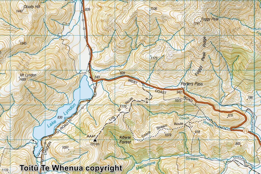
Sourced from Topo50 Map BW21 Springfield. Crown Copyright Reserved
About Trig-M Route
The difficulty rating: ★⯪☆☆☆ 1.5
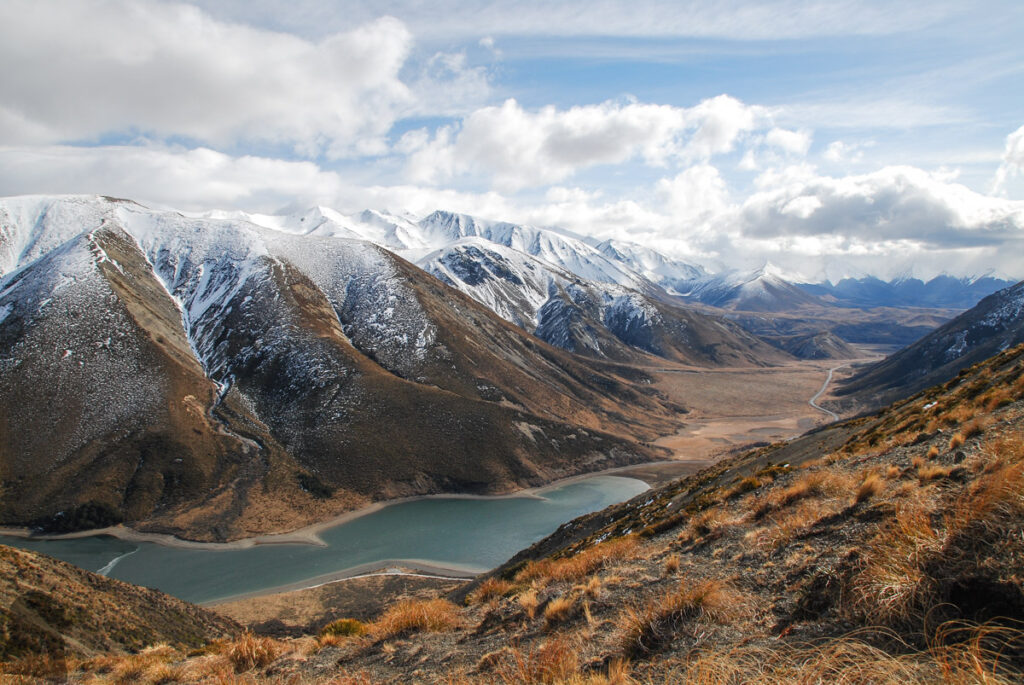
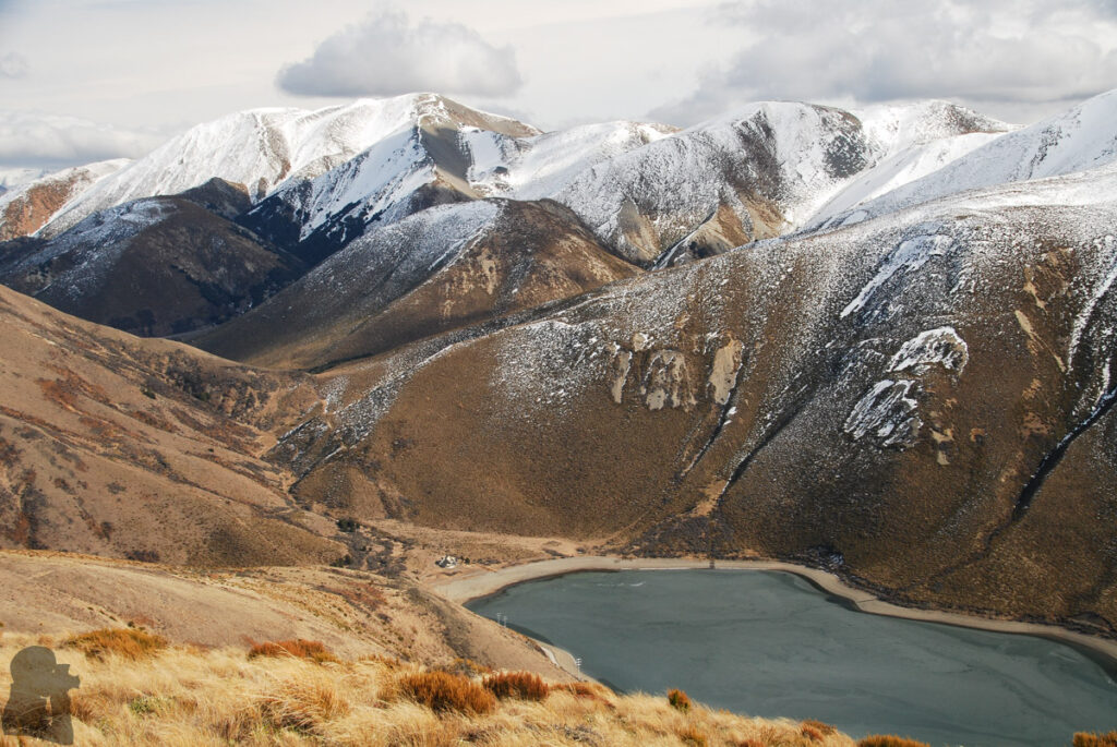
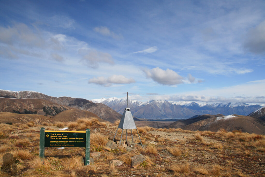
Trig-M Route is a short trail to reach a peak of 1251 m tall, which stands to the southeast of Lake Lyndon, overlooking the lake and Porters Pass. For some reason DOC gives this trail the “expert route” rating, which is strange for me.
If returning the same way, the hike to the trig point starting from the car park in between Porters Pass and Lake Lyndon is an easy walk. (But I have no idea about Coach Stream Route or the side trip to Rabbit Hill which someone may include them into this day hike.) Trig-M Route itself should be suitable for family groups and hiking beginners. The trail is well-formed and signed. And there was nowhere I felt dangerous.
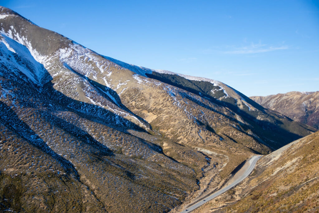
I have been there in August 2016 and 2019 when most of other higher mountains around were coated with heavy snow but not on this trail. The trail is close to Christchurch and very accessible; highly recommended for someone who wants a nice view with the least effort.
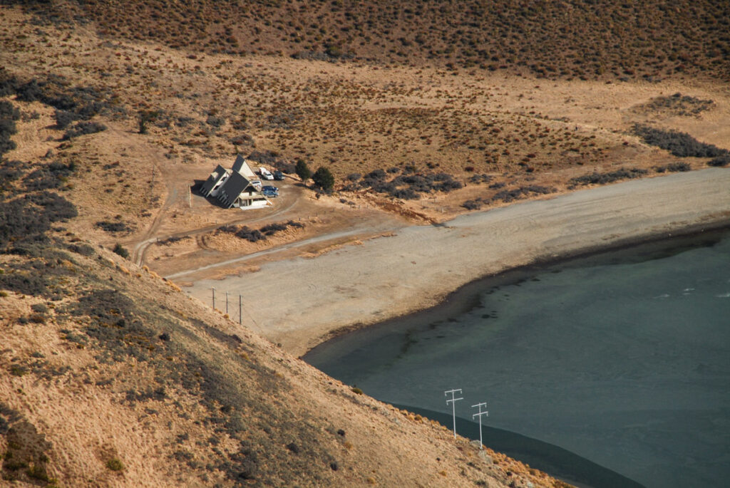
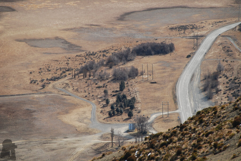
The car park of the trail head is small and not very noticeable. Try not to miss it especially if you are picking up speed downhill after passing Porters Pass. Having a look at the Google Street View to locate the car park beforehand is helpful.
Trip Photos