The content on this website is published in English. I cannot guarantee the quality of the translated text generated by the plugin of this website. The machine-translated “names” and “terminology” are often inconsistent and/or incorrect. If it looks confusing, please switch back to the English version.
Disclaimer: Information such as the locations or the trails shown on the maps of this website might be inaccurate, misleading or out-of-date. They are only the simple illustration for the ranges of the hiking trails or the points of interest. Please prepare your own navigation device, apps, topo maps, and GPX files for hiking.
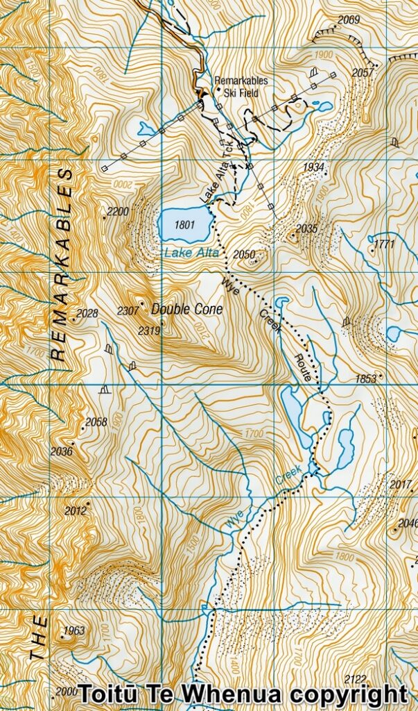
Sourced from Topo50 Map CC11 Queenstown. Crown Copyright Reserved
About Wye Creek Basin
The Difficulty Rating: ★★★☆☆
Hidden under the prominent The Remarkables, Wye Creek Basin is a lesser known hiking destination near Queenstown. Many visitors may hike to Queenstown Hill for a short walk or Ben Lomond for a more challenging day hike, but if you have extra time staying in the area, Lake Alta or Wye Creek Route might be another option.
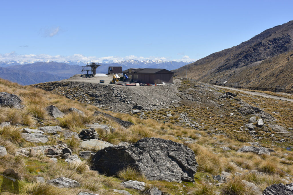
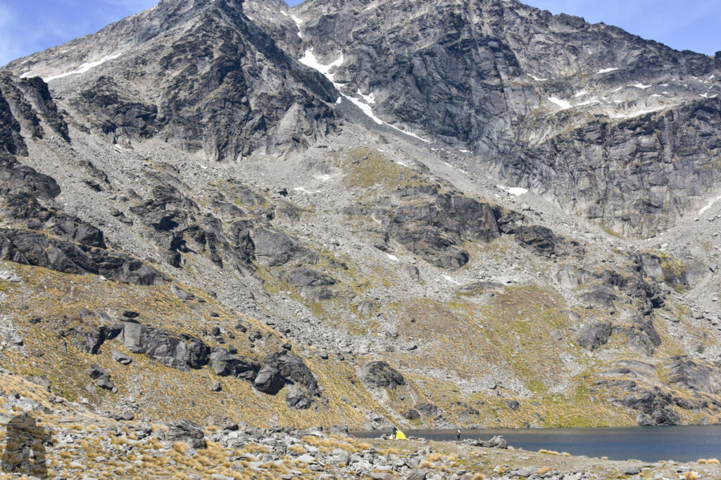
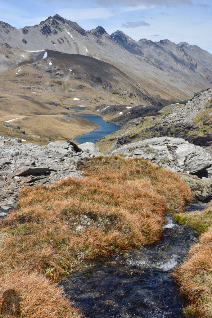
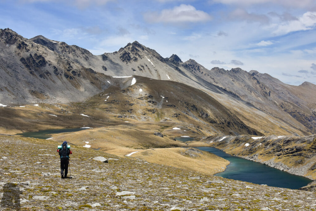
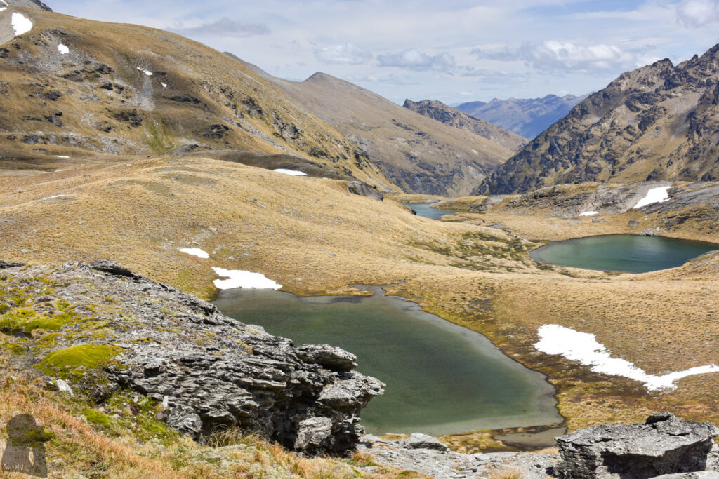
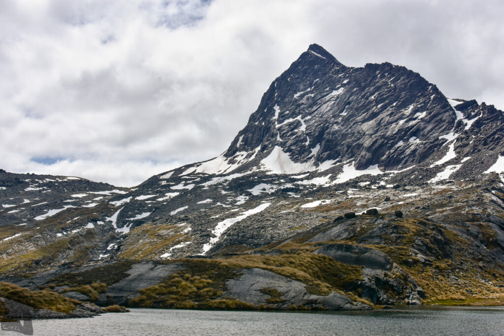
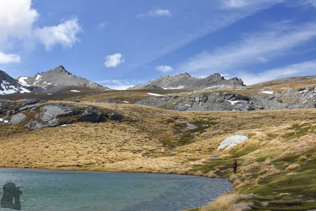
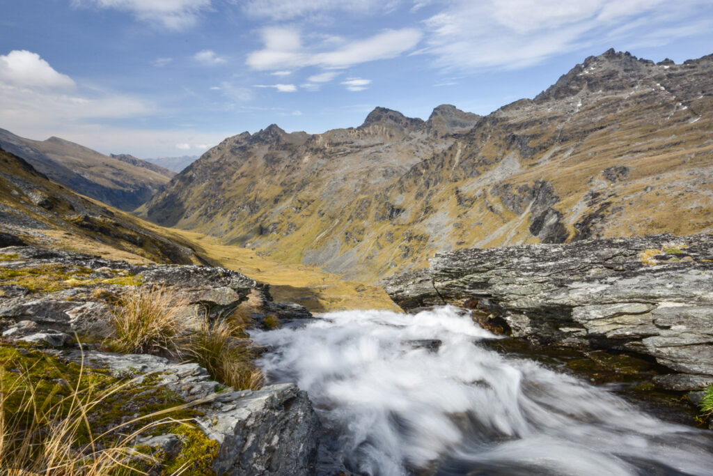
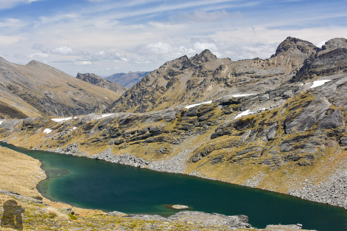
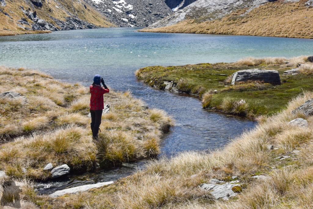
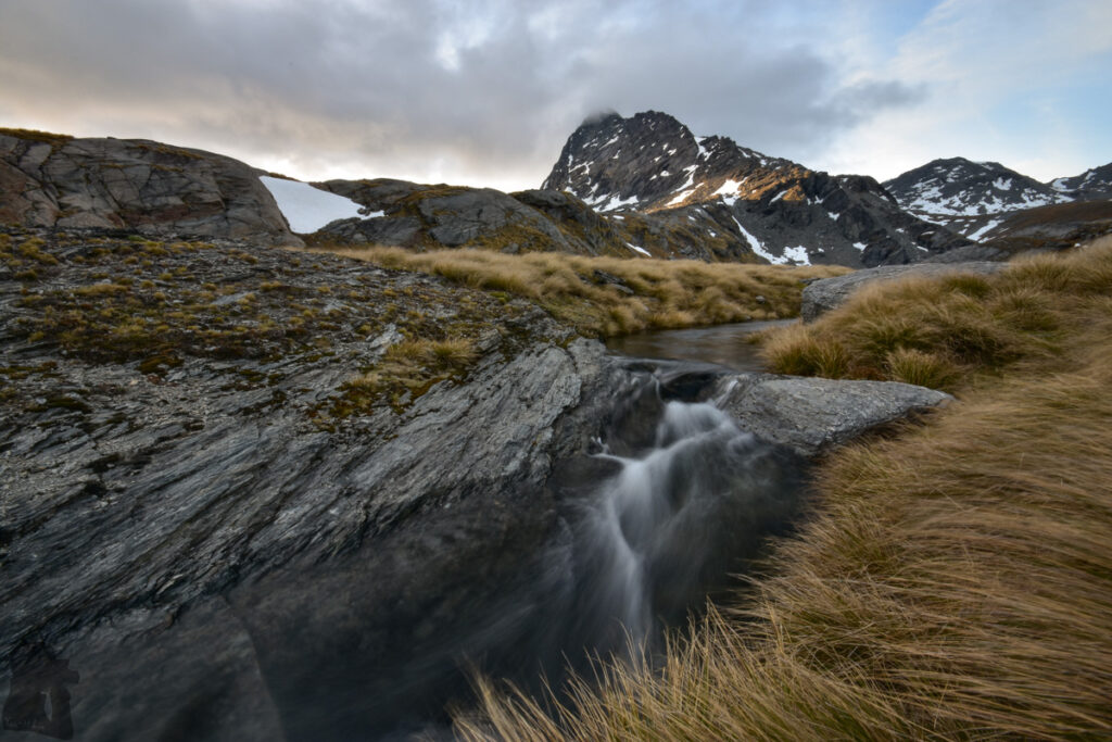
Technically I only hiked to the uppermost section of Wye Creek Route, the section which seems the most intriguing for me. It is the upstream side of the Wye Creek where several alpine lakes lie in the broad valley. The easiest and quickest way to reach this basin is from The Remarkables Ski Area where its access road can take you to 1600 m high like a cheat code to save a lot of energy in comparison with the ascent from the altitude, 350 m, at the other end of Wye Creek Route (Lower Wye Creek Track).
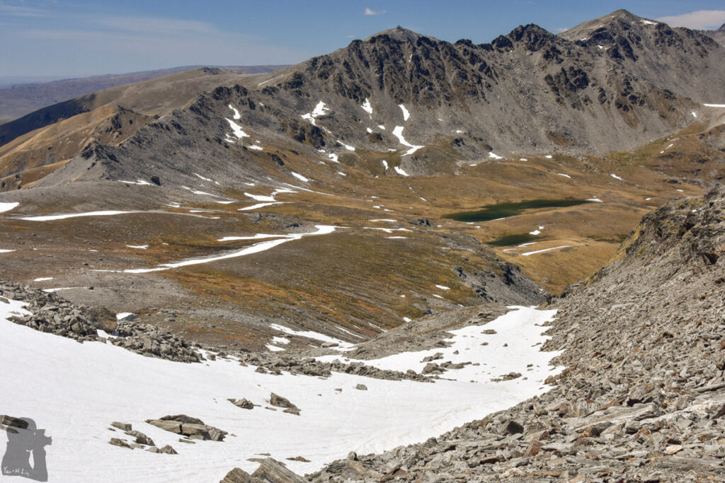
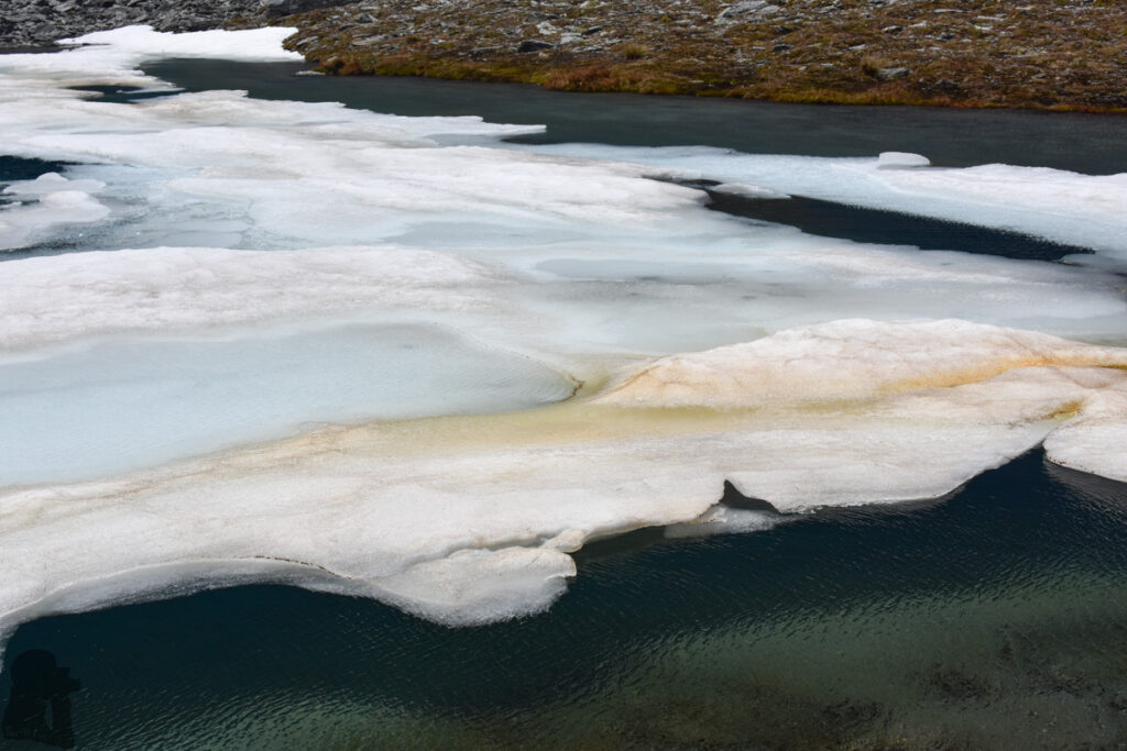
In October 2017 I had a glance over the Wye Creek Basin from the saddle under Pt 2050, but because of the icy lakes I did not go further (see my trip photos in “The Remarkables, Lake Alta”).
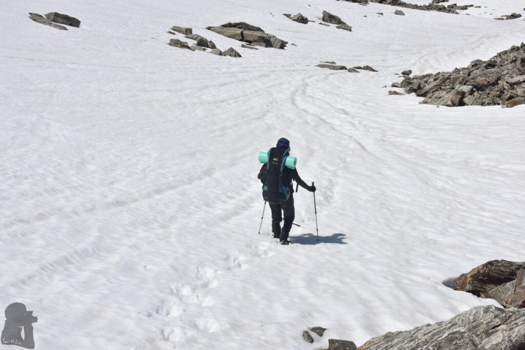
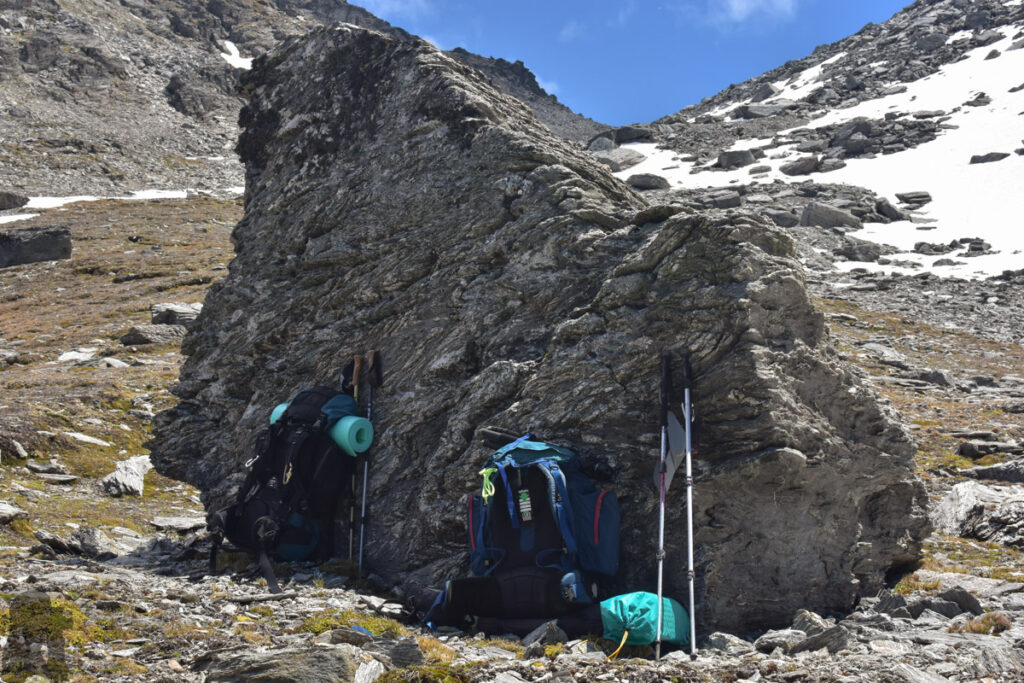
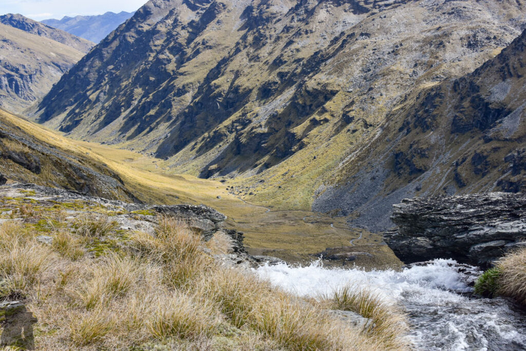
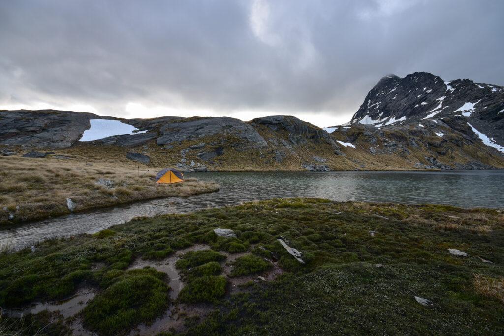
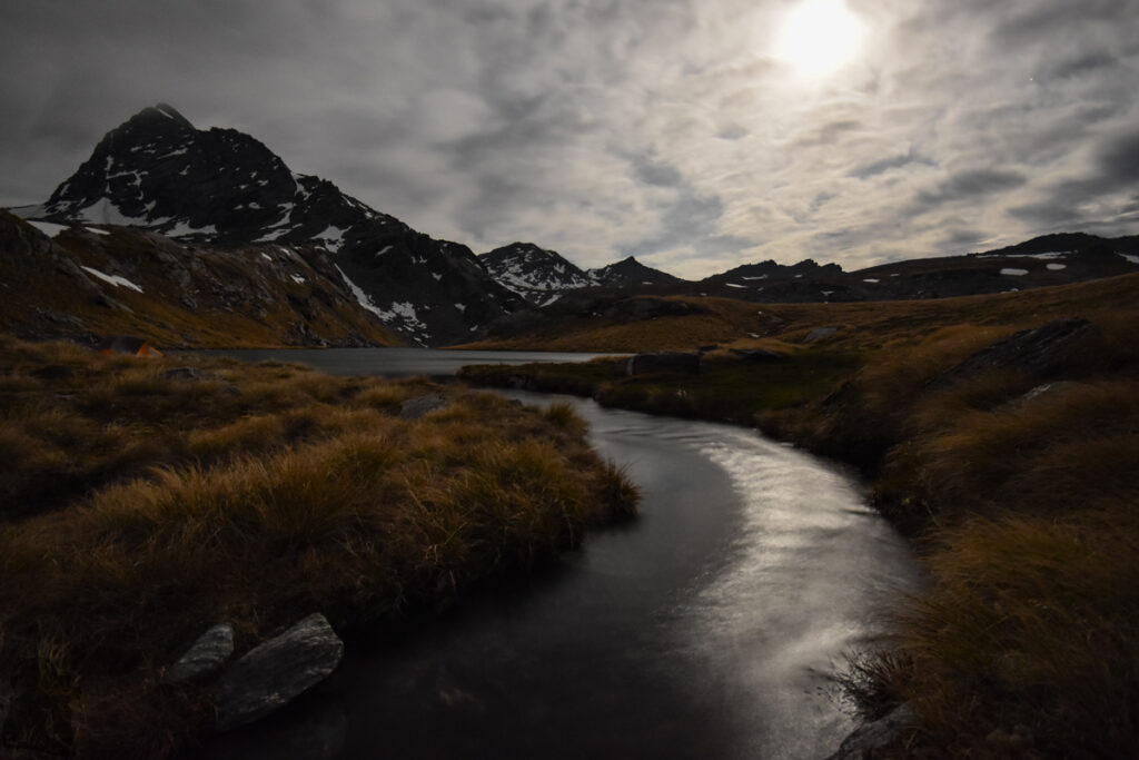
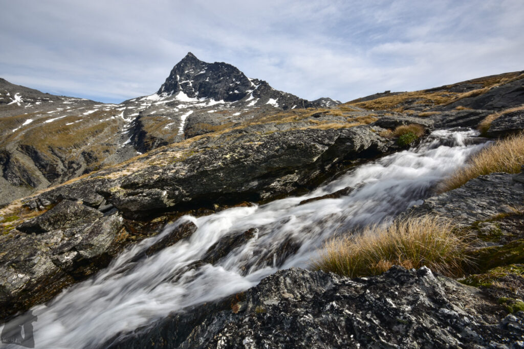
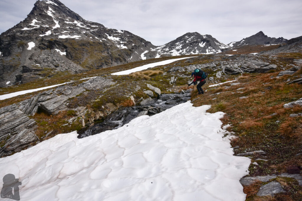
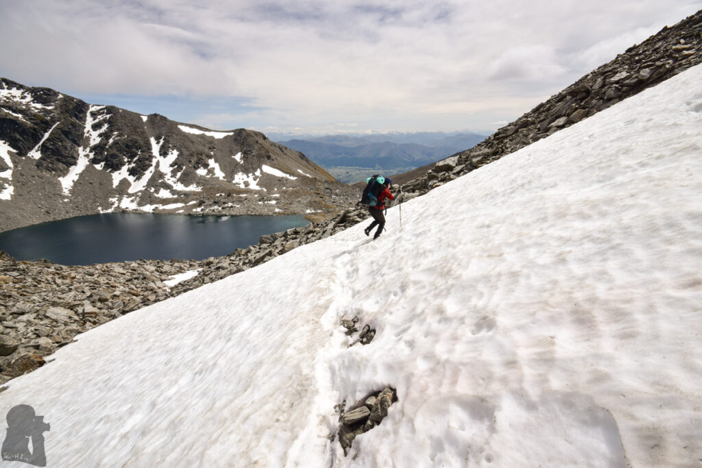
My partner and I went to the trail in early December of the same year when most of the snow melted away. The walk on several short snowy sections was not difficult during this time. We pitched the tent by one of the lakes in the basin and then wandered around, only to the edge where the stream starts flowing down steeply. Just two or three hikers passed by us, heading toward the rest of the Wye Creek Route. Basically it was very quiet in contrast to the other side of the saddle.
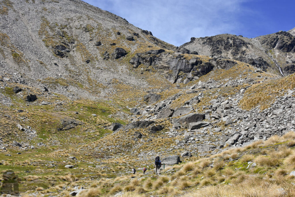
The track between the ski field buildings to Lake Alta was relatively busy, but only a few people may go beyond the lake. I remember the route after Lake Alta was unpoled and only some cairns marked the way. After climbing a rocky section to reach the saddle, the following hike to Wye Creek Basin was a simple downhill walk. Although I do not think the navigation and route-finding tricky, however, when the visibility is poor, a navigation device with offline topo map should be used.
Shortly after this trip, I hiked solo to the ridge of The Remarkables and camped underneath the peaks of Double Cone; the trip photos and comments are in the post, “The Remarkables, on the Shoulder of Double Cone”.