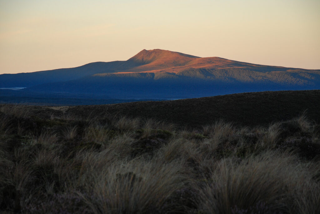
Tongariro Northern Circuit, into the World of Magnificent Volcanic Terrain
The content on this website is published in English. I cannot guarantee the quality of the translated text generated by the plugin of this website. The machine-translated “names” and “terminology” are often inconsistent and/or incorrect. If it looks confusing, please switch back to the English version.
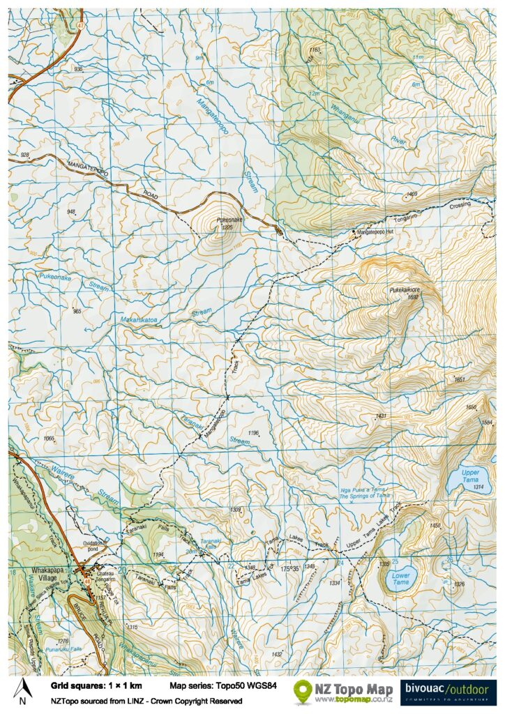
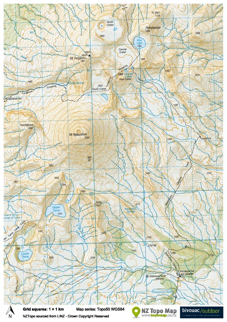
Disclaimer: Information such as the locations or the trails shown on the maps of this website might be inaccurate, misleading or out-of-date. They are only the simple illustration for the ranges of the hiking trails or the points of interest. Please prepare your own navigation device, apps, topo maps, and GPX files for hiking.
West Part; Map downloaded from NZ Topo MapEast Part; Map downloaded from NZ Topo Map
About Tongariro Northern Circuit, some changes and our hike
The Difficulty Rating: ★★★☆☆
Tongariro Northern Circuit is my first multi-day tramp (hike) in New Zealand. Located in Tongariro National Park, this trail was one of the eight Great Walks in NZ back then (11 for now) which featured the magnificent volcanic terrain.
Recently there were a few changes to the track: The two fires in November and December 2025 impacted the park considerably, resulting in the closure of Mangatepopo Track which was a section of the circuit; Also Oturere Hut, the second hut we stayed, is closed as it is being replaced by a new hut (2026/2027?).
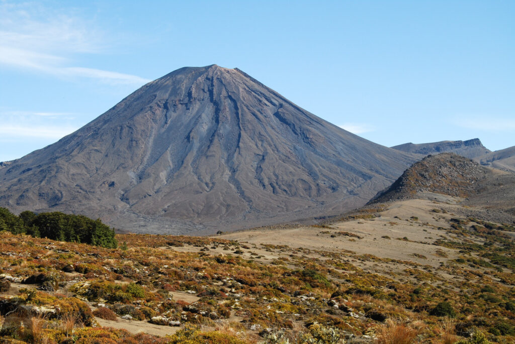
Nowadays it is NOT-recommended to climb Mount Ngauruhoe, the prototype of the Mt. Doom in the movie “The Lord of the Rings”, as climbing this mountain is regarded as an offense to the local Māori’s culture and belief (although most of the hikers including us were not aware of this during that time).
Please click to DOC website for the update of this track.
The hike was done in 2014 as a part of our first trip in NZ. We took a luxurious 4-day to complete the circuit, staying in all the huts along the trail. Except for the second day where the route partially overlaps with the Tongariro Alpine Crossing plus the side trip to Mount Ngauruhoe, other days all finished fairly early with plenty of time to look around the huts / village.
From the mountainous Taiwan my partner and I were already experienced in hiking, we found the track was well-formed and signed, no great difficulty on the way. The chance of going missing was low. The huts were all neat, perfectly maintained and friendly DOC rangers were there to help.
However, I don’t think this is an easy hike that a beginner can do it without any concern. Volcanic activity is still active. The vents are hissing! Many sections of the track are exposed and in alpine environments, meaning it can be very windy and cold. I could not even recall if we ever entered into any woods or not. It seemed we walked on barren ground for most of the time. Hiking outside of Great Walks season or in severe weather would be much more risky.
(Although there might be only a small number of hikers still doing this nowadays: the route going up to Mount Ngauruhoe is steep and the ground is loose. Rock falling is a hazard to you and other people below you. In winter it can be snowy / icy due to its altitude.)
Ten years after settling down in NZ, I have not returned to this impressive track nor even the North Island. We have hiked on a section of Kepler Track and Routeburn Track but Tongariro Northern Circuit was the only Great Walk we finished the entire route so far.
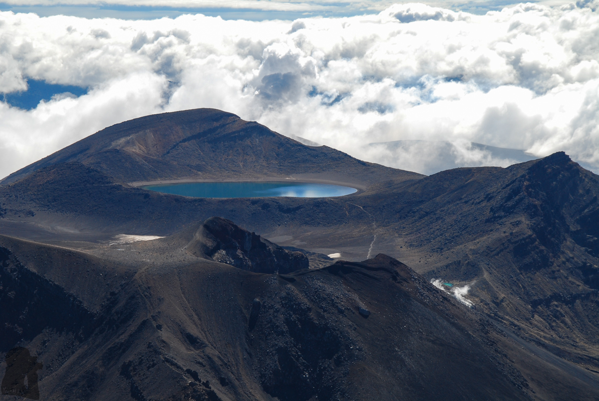
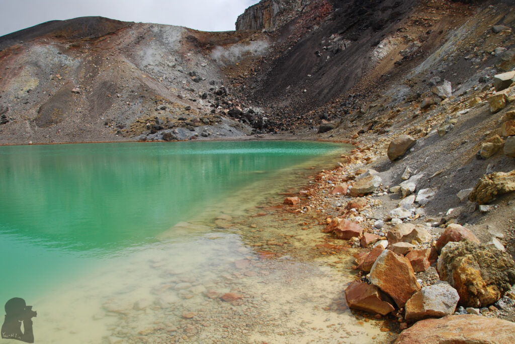
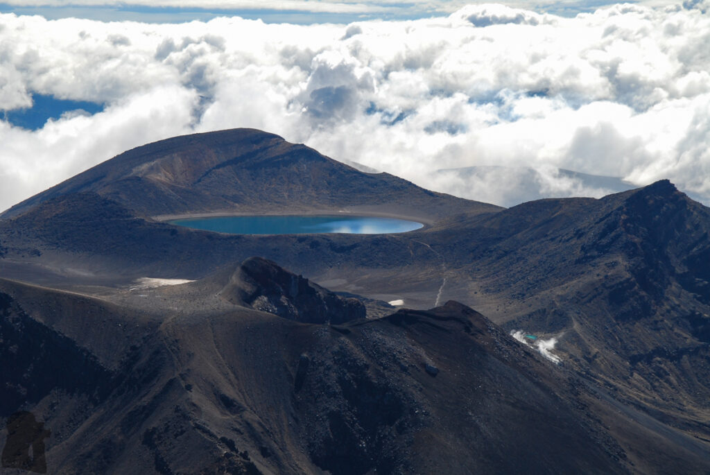
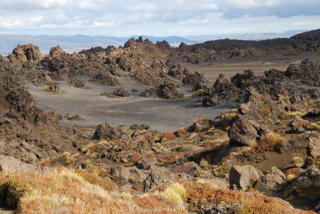
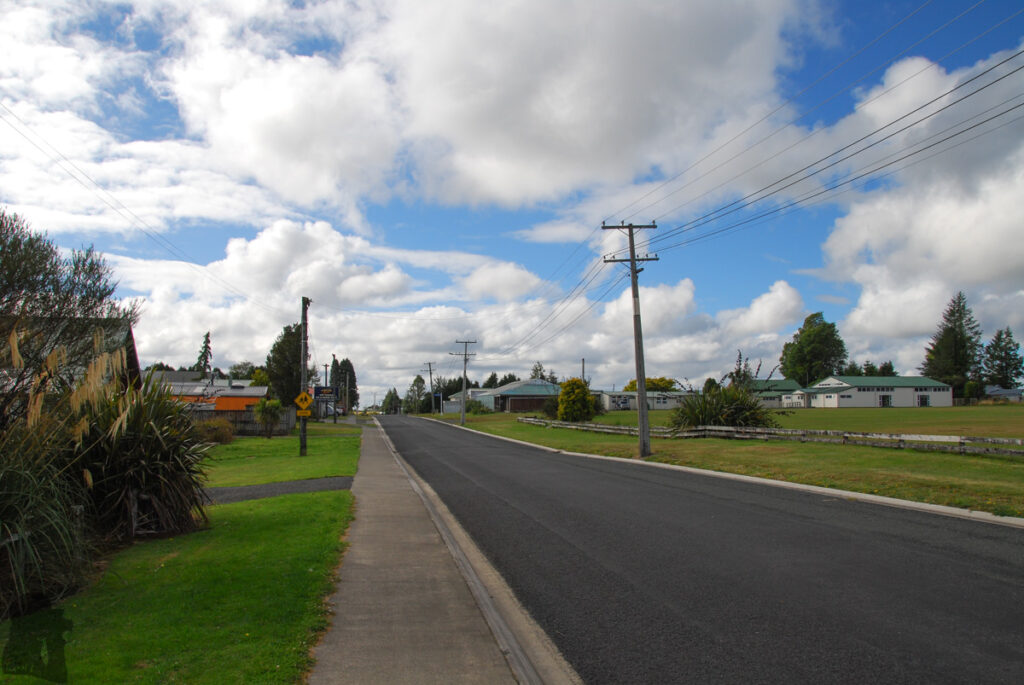
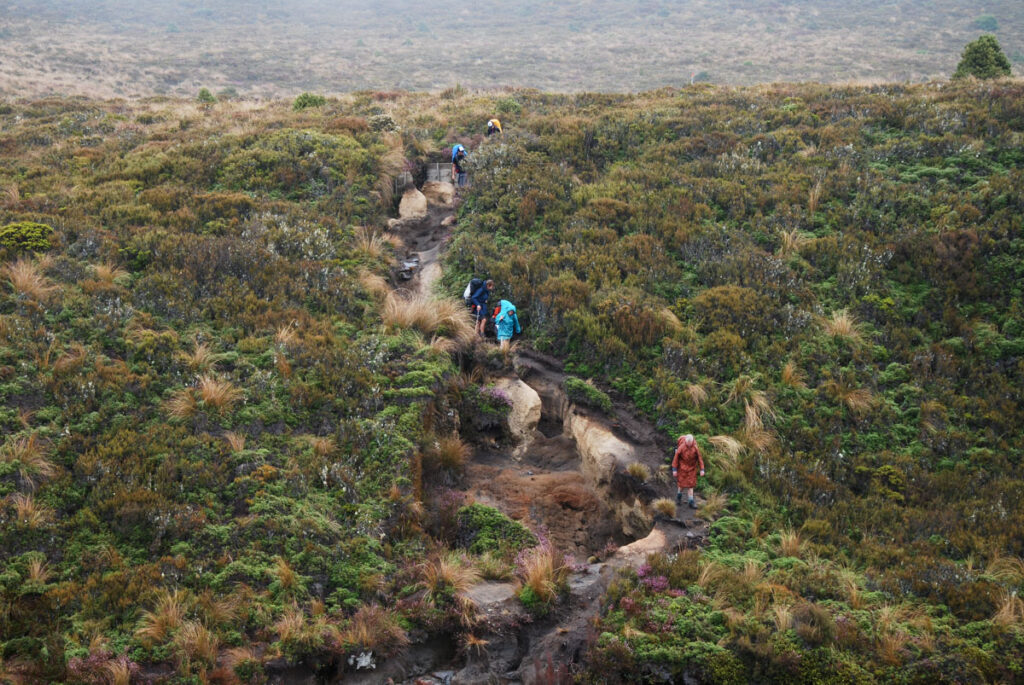
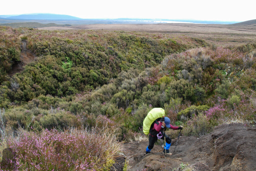
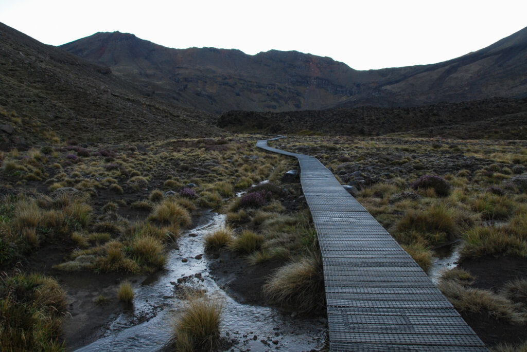
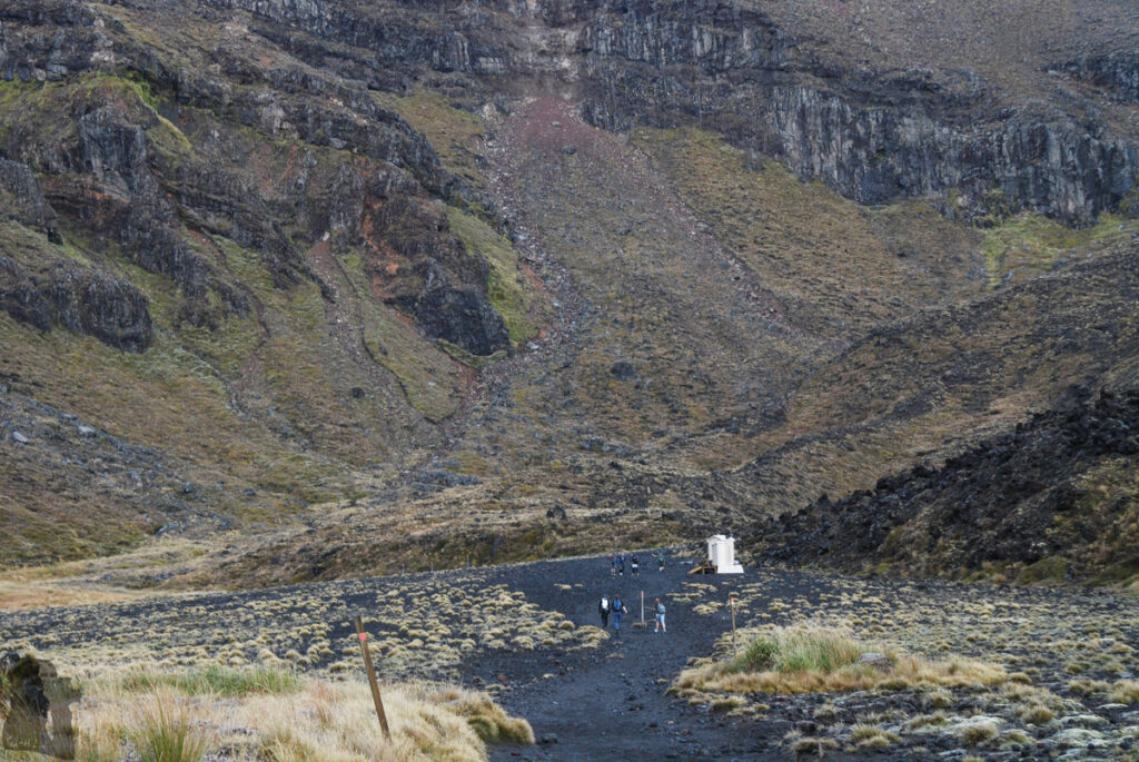
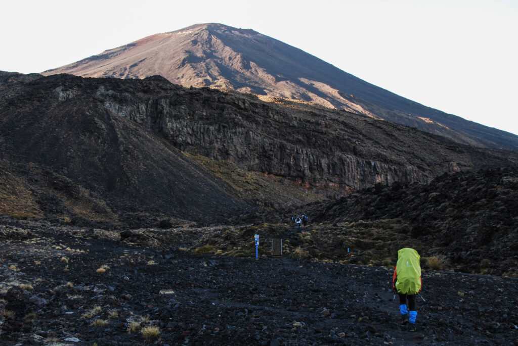
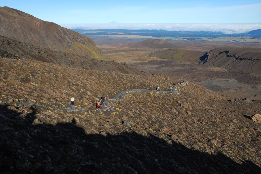
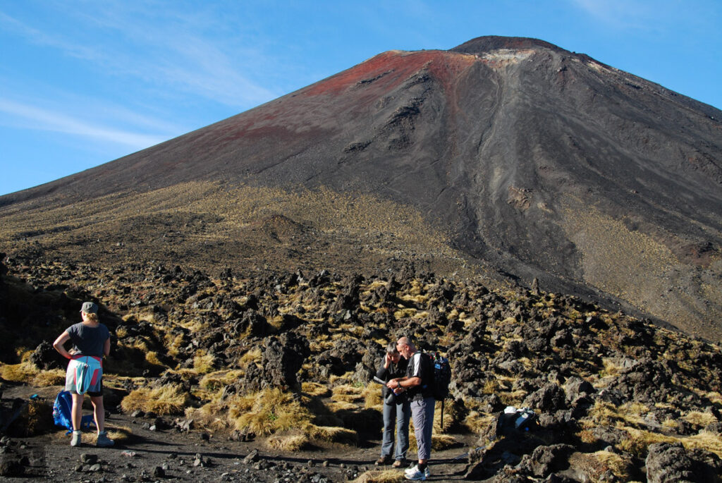
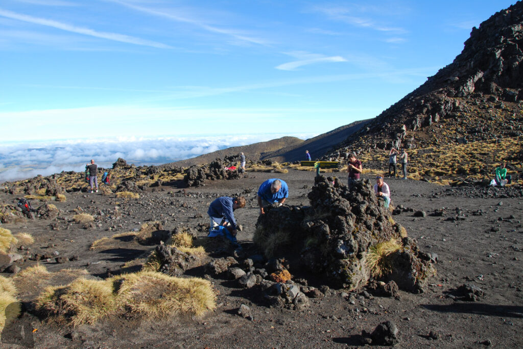
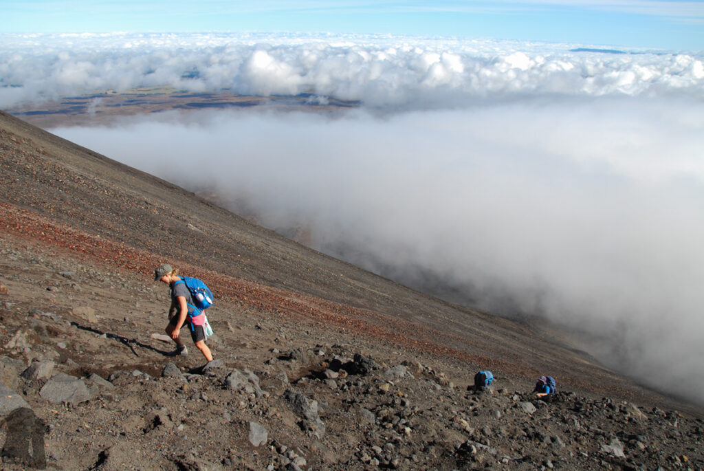
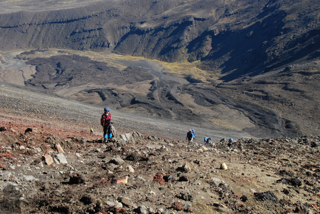
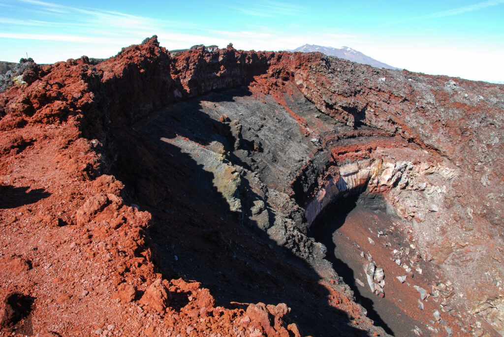
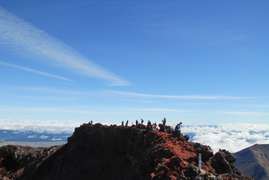
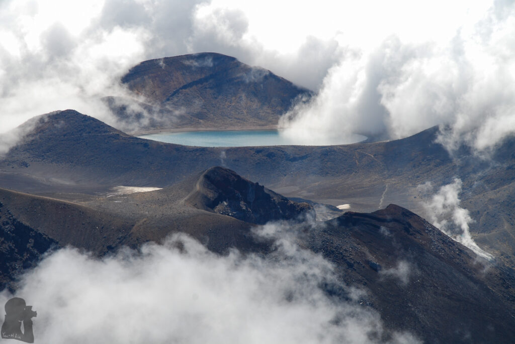
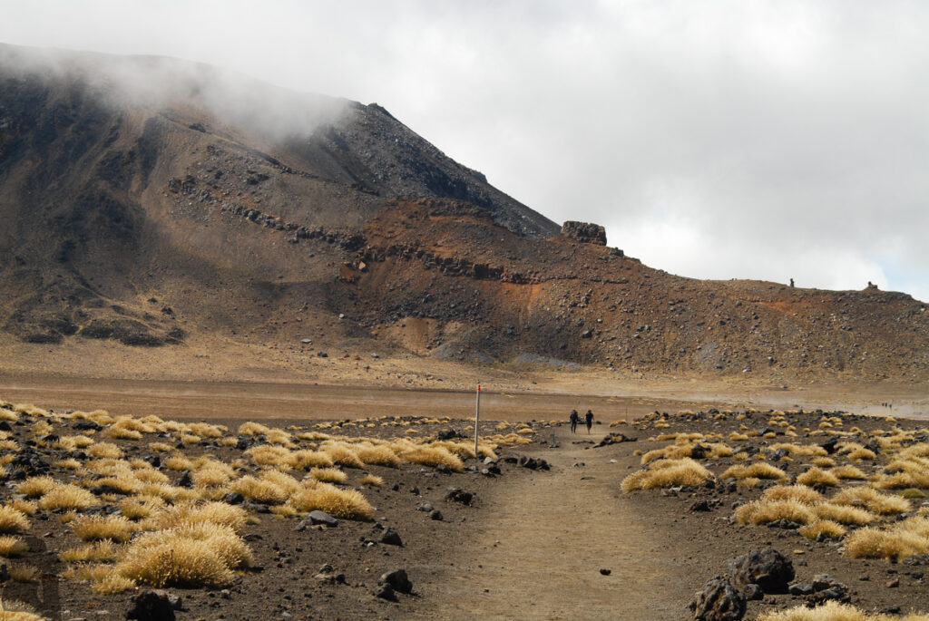
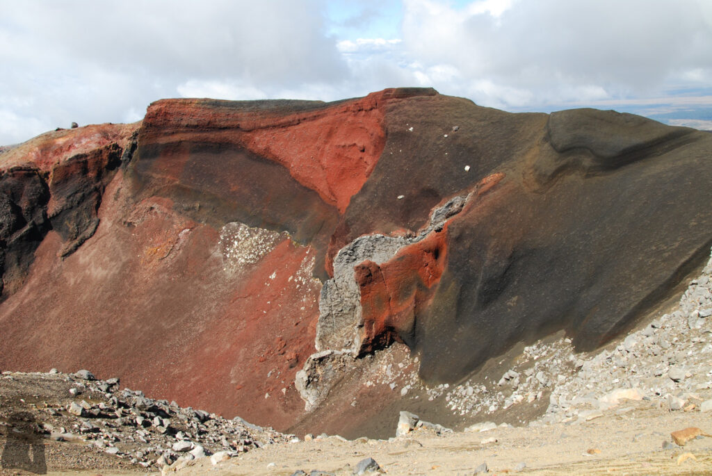
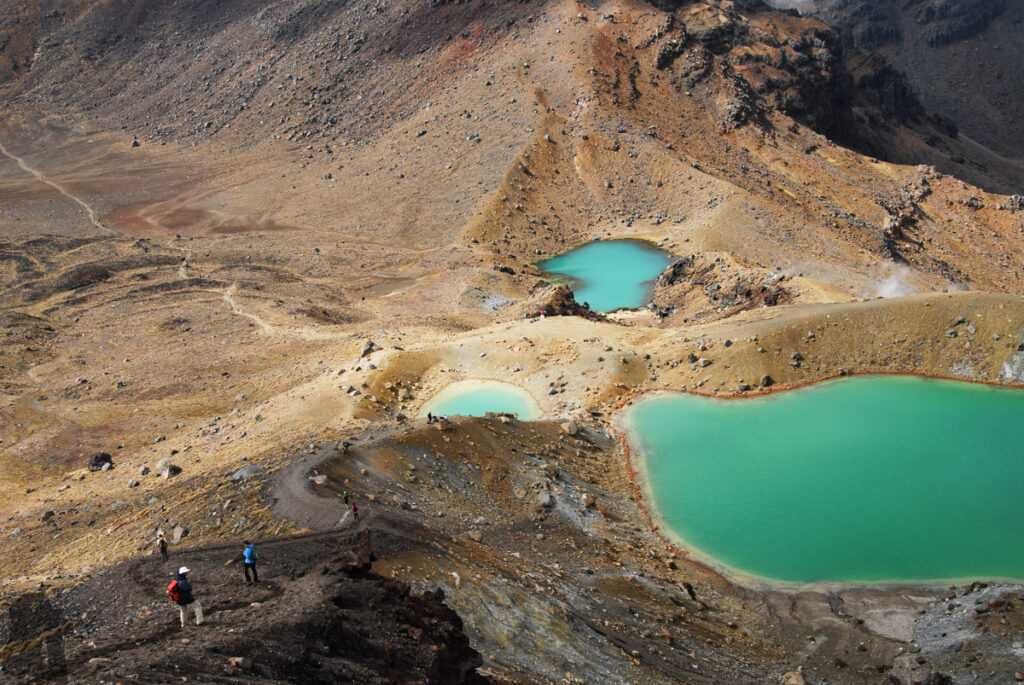
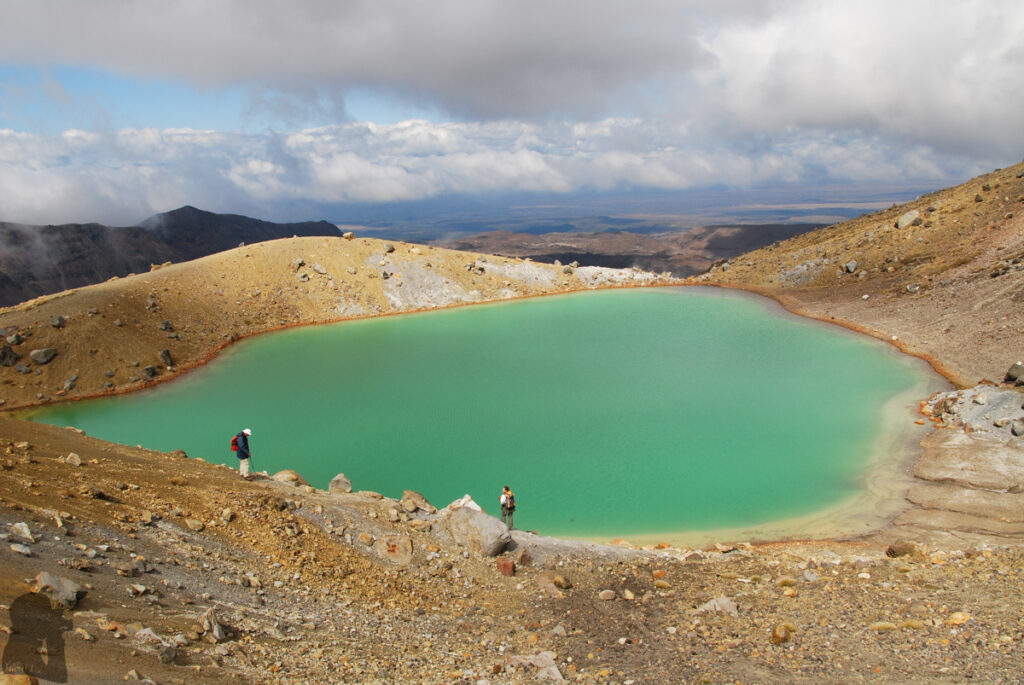
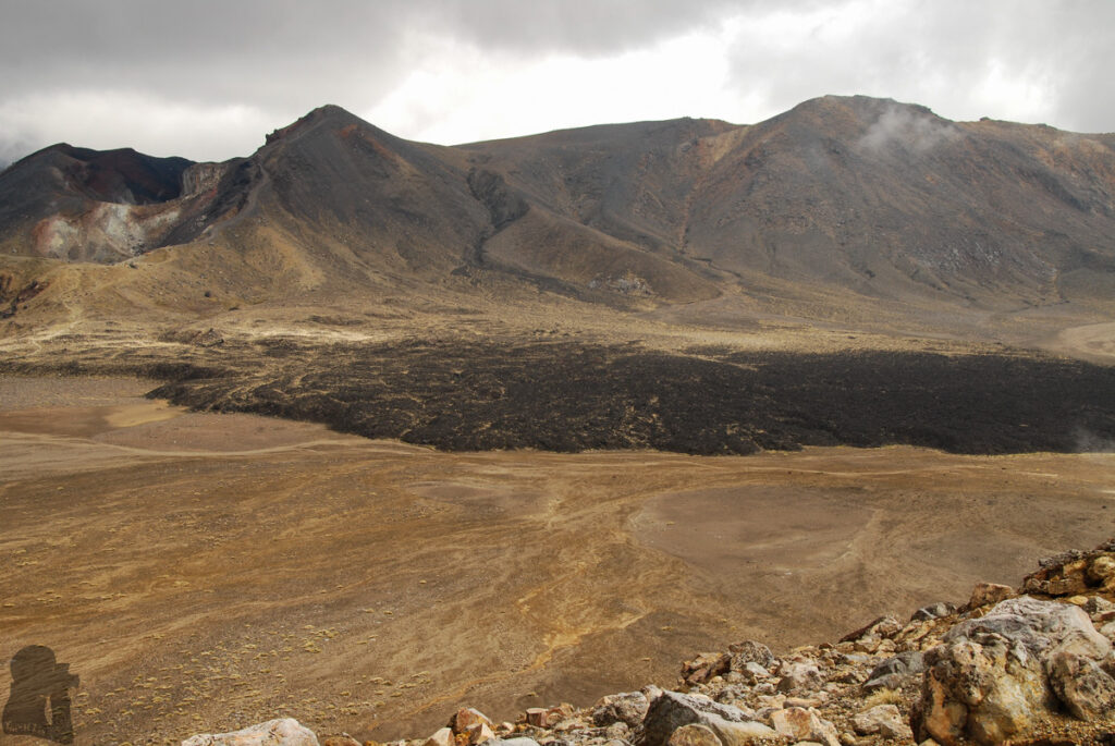
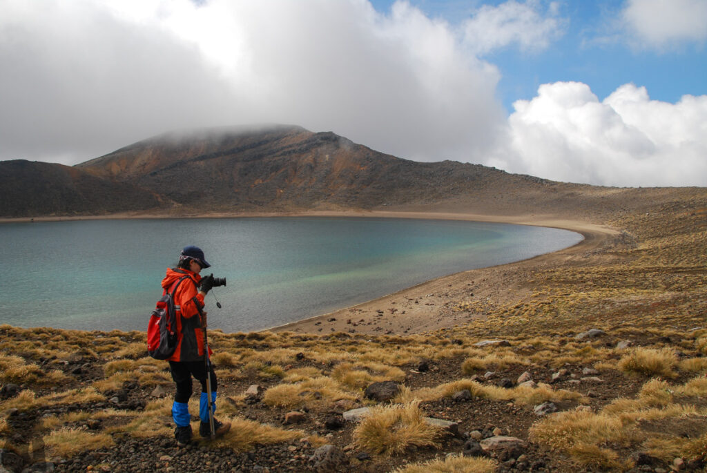
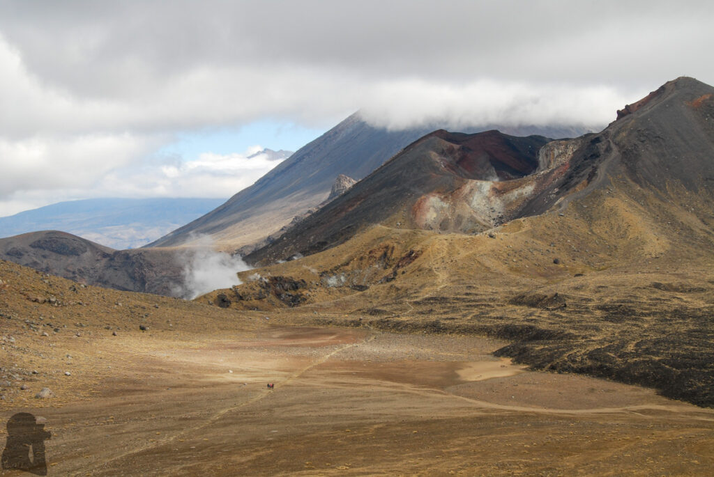
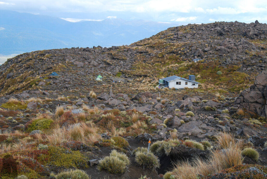
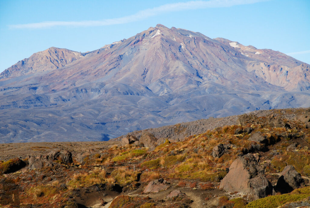
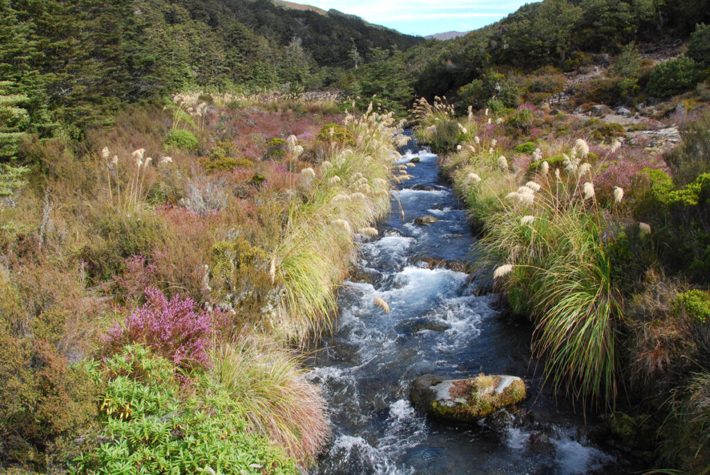
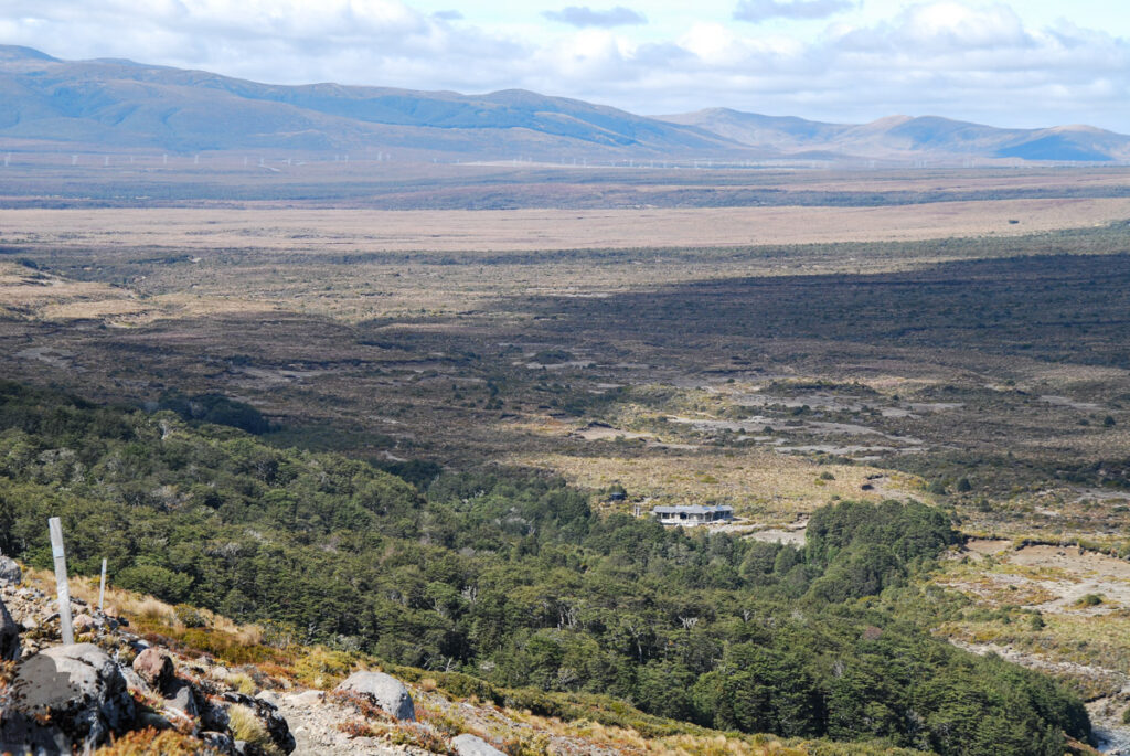
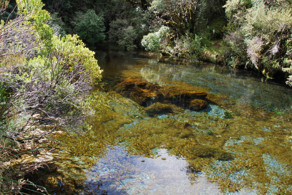
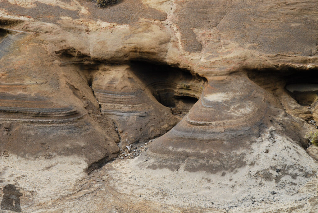
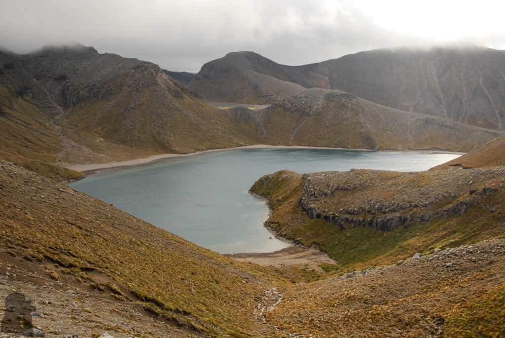
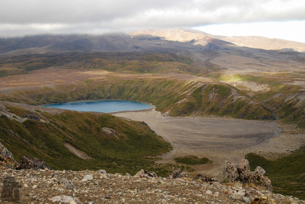
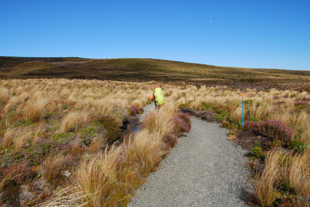
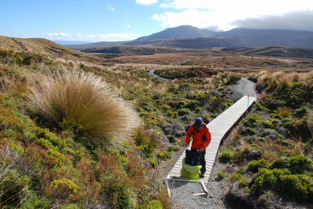
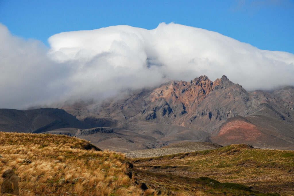
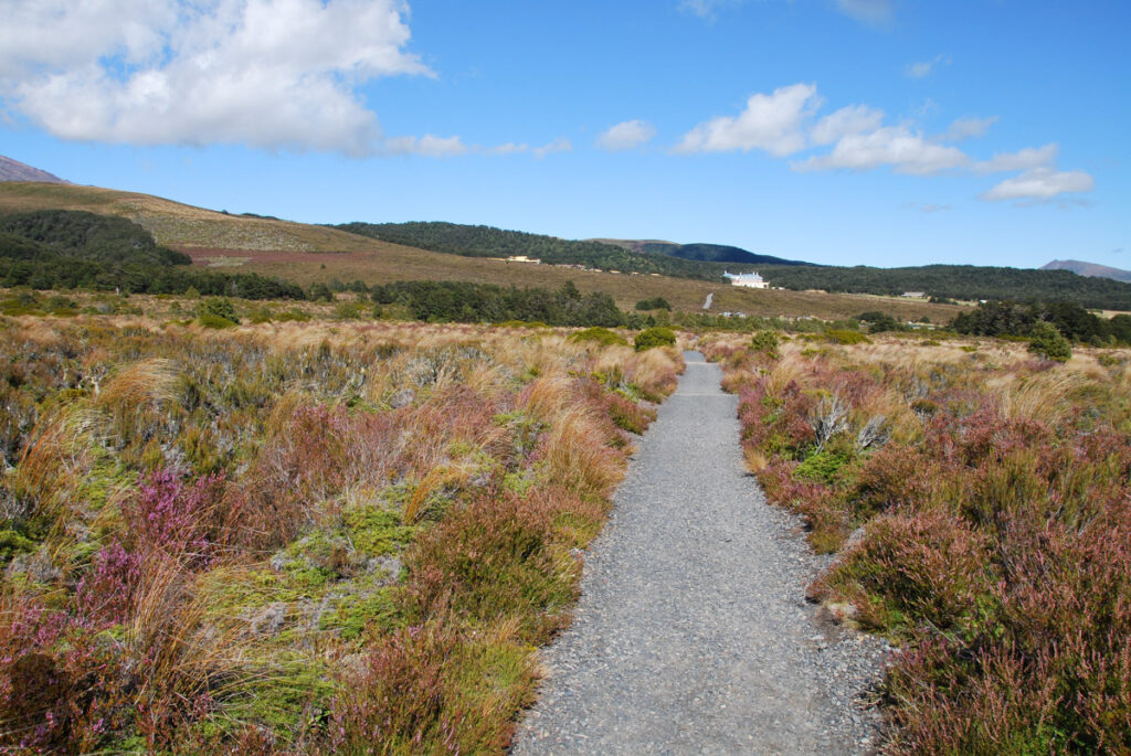
We stayed in National Park / Waimarino, a rural town, the day before our hike. The shuttle took us to the trail head in Whakapapa Village.The terrain on the first day was pretty “flat” with occasional up- or downhill walk.Knowing this is going to be a big day, we set off early.The mesh covering on the boardwalk minimizes slippery surface, brilliant!The track and the terrain here is so open and exposed that hikers are visible to each other from miles away. These toilets were not only handy but also saved our privacy.Heading toward Mount Ngauruhoe; The majority of hikers were doing Alpine Crossing, only a few carried big backpacks.Looking back down the track, the Mangatepopo Hut is still in sight.Beneath the Mt. DoomI read trip reports saying the sign indicated the direction to Mount Ngauruhoe was removed. And DOC rangers may patrol around, advising hikers reconsidering (not doing) the climb.The cloud was catching us from behind while we were ascending. (I was hesitated to post these photos taken during the ascent of Mount Ngauruhoe but the scenery are too gorgeous to be left in my computer. After knowing this is a sacred mountain 12 years later, I will not climb it again.)Be careful the rock kicked loose!The crater of Mount Ngauruhoe, an active volcanoAt the elevation 2287 m, the top of Mount Ngauruhoe is the highest point I have been in New Zealand. I found mountains higher than 2000 meter in South Island are hard to reach (to me). They are either constantly capped in ice or too exposed /steep to climb.Cloud engulfed Blue Lake.After descending to the track, we passed the flat of South Crater before the ascent to Red Crater.The huge flat underneath where we just walked; None of a barren flat of this size exists in the mountains of Taiwan.Red Crater; the highest point of the track (1868 m)Emerald Lakes soon came to our eyes once arriving Red Crater.The color is from the minerals and I heard the water is not suitable to drink or even swim. No wonder everyone was just looking it from the side. But it is also the local Māori’s wish to keep the sacred waters untouched.Old lava flow; Incredible!A short side trip to the quiet Blue Lake; It was in the afternoon when hikers taking the Alpine Crossing were gone.Looking back toward Red Crater and the cloud-capped Mount NgauruhoeThe old lava in Oturere Valley, an unearthly scene. The last leg of the day was straightforward.Oturere Hut; we arrived by 5:30 pm, an unusually late time in NZ but the day was so rewarding.Mount Ruapehu; there are glaciers on it.Mount NgauruhoeThe beautiful stream and forest, the common landscape in NZ I am familiar with.Waihohonu Hut is ahead, the best hut we used in NZ. It was a short day.Lingering the stream near the hutUpper Tama; the walk to the edge of the lake was under strong wind all the time. We immediately turned back to the track after taking several quick shots.Lower Tama; we were reluctant to go any closer due to the windy condition.A track like this is the motorway on the hike.No one was around; feeling like we owned the track.The destination in the front. This was a smooth but amazing 4-day hike. The reputation of this World Heritage is well-deserved.
To provide the best experiences, we use technologies like cookies to store and/or access device information. Consenting to these technologies will allow us to process data such as browsing behavior or unique IDs on this site. Not consenting or withdrawing consent, may adversely affect certain features and functions.
Functional
Always active
The technical storage or access is strictly necessary for the legitimate purpose of enabling the use of a specific service explicitly requested by the subscriber or user, or for the sole purpose of carrying out the transmission of a communication over an electronic communications network.
Preferences
The technical storage or access is necessary for the legitimate purpose of storing preferences that are not requested by the subscriber or user.
Statistics
The technical storage or access that is used exclusively for statistical purposes.The technical storage or access that is used exclusively for anonymous statistical purposes. Without a subpoena, voluntary compliance on the part of your Internet Service Provider, or additional records from a third party, information stored or retrieved for this purpose alone cannot usually be used to identify you.
Marketing
The technical storage or access is required to create user profiles to send advertising, or to track the user on a website or across several websites for similar marketing purposes.
To provide the best experiences, we use technologies like cookies to store and/or access device information. Consenting to these technologies will allow us to process data such as browsing behavior or unique IDs on this site. Not consenting or withdrawing consent, may adversely affect certain features and functions.
Functional
Always active
The technical storage or access is strictly necessary for the legitimate purpose of enabling the use of a specific service explicitly requested by the subscriber or user, or for the sole purpose of carrying out the transmission of a communication over an electronic communications network.
Preferences
The technical storage or access is necessary for the legitimate purpose of storing preferences that are not requested by the subscriber or user.
Statistics
The technical storage or access that is used exclusively for statistical purposes.The technical storage or access that is used exclusively for anonymous statistical purposes. Without a subpoena, voluntary compliance on the part of your Internet Service Provider, or additional records from a third party, information stored or retrieved for this purpose alone cannot usually be used to identify you.
Marketing
The technical storage or access is required to create user profiles to send advertising, or to track the user on a website or across several websites for similar marketing purposes.