The content on this website is published in English. I cannot guarantee the quality of the translated text generated by the plugin of this website. The machine-translated “names” and “terminology” are often inconsistent and/or incorrect. If it looks confusing, please switch back to the English version.
Disclaimer: Information such as the locations or the trails shown on the maps of this website might be inaccurate, misleading or out-of-date. They are only the simple illustration for the ranges of the hiking trails or the points of interest. Please prepare your own navigation device, apps, topo maps, and GPX files for hiking.
About Cameron Hut Route
The Difficulty Rating: ★★★★☆
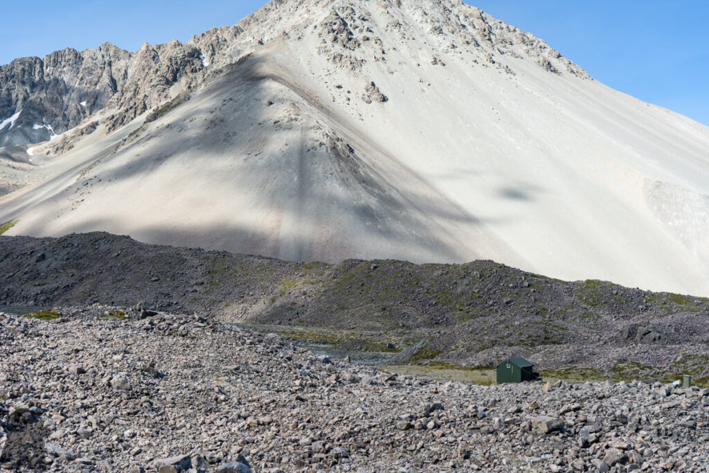
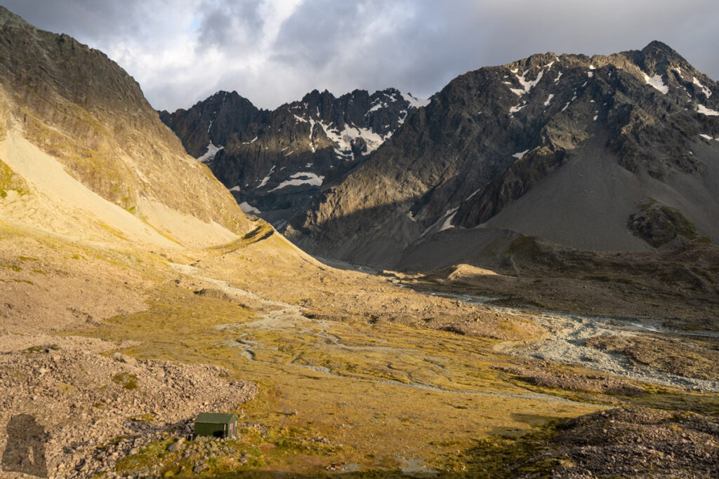
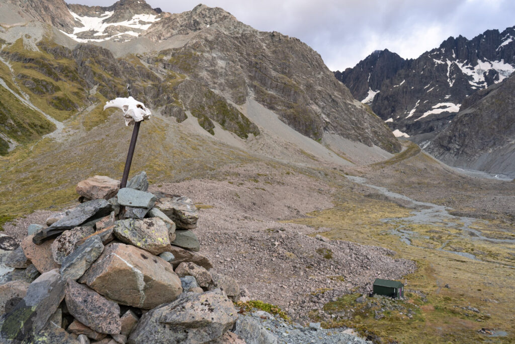
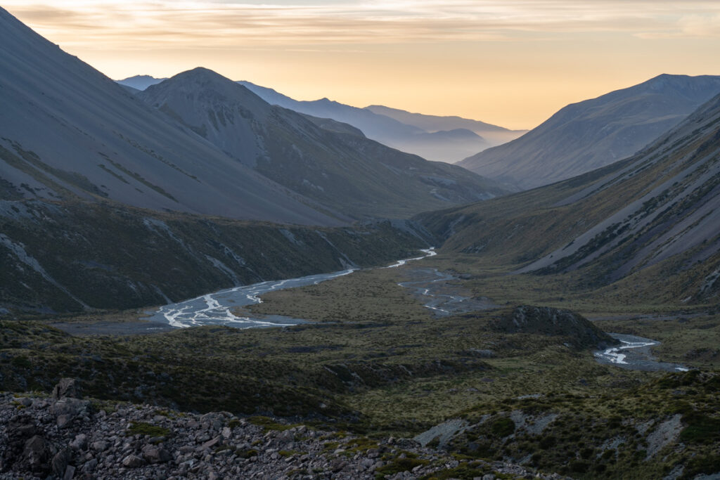
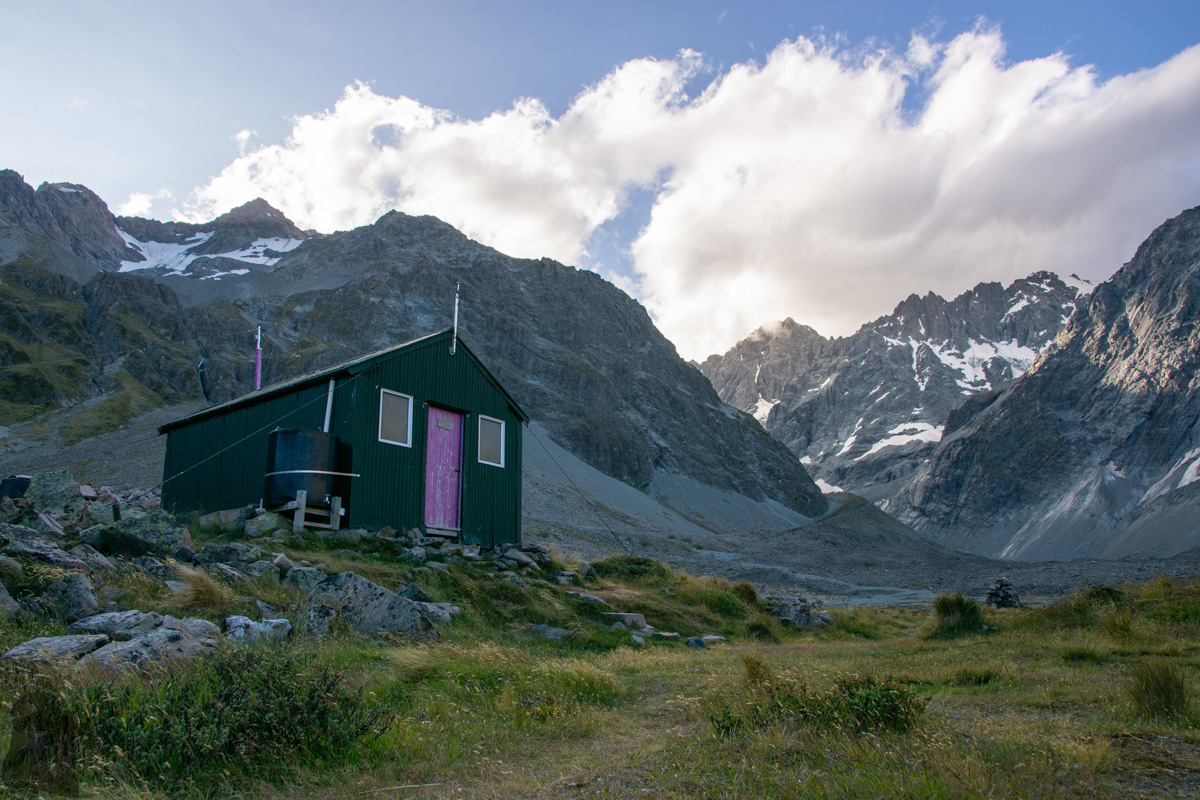
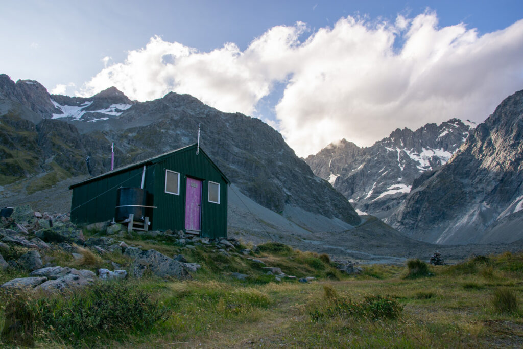
Cameron Hut, the hut located in the valley below Arrowsmith Range, is really a remote hut. Although most of the huts along hiking trails are situated away from highly populated places, but no other huts in NZ gave me the same feeling of the remoteness and isolation.
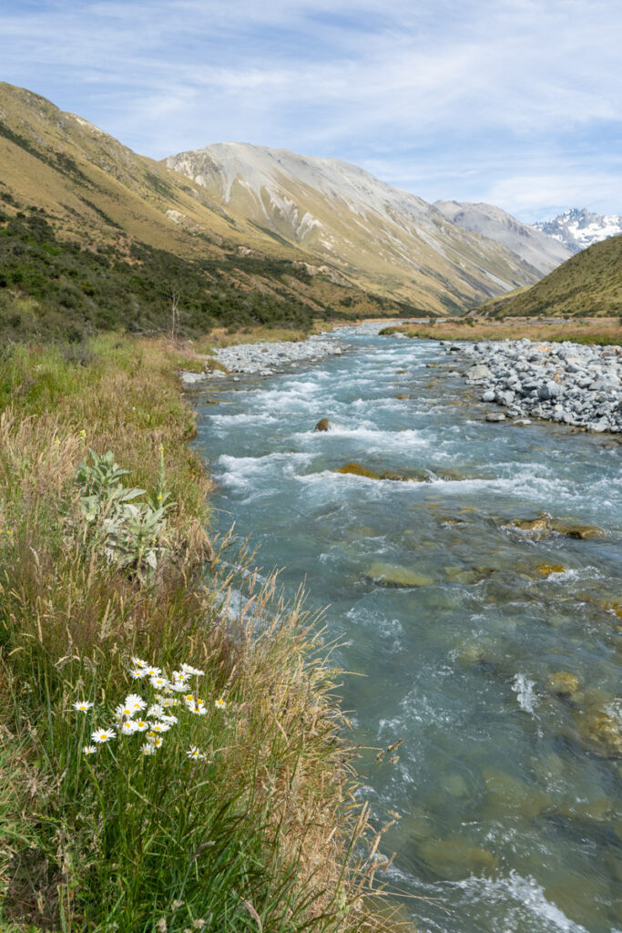
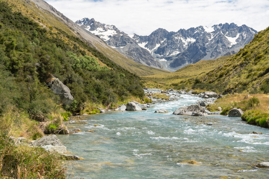
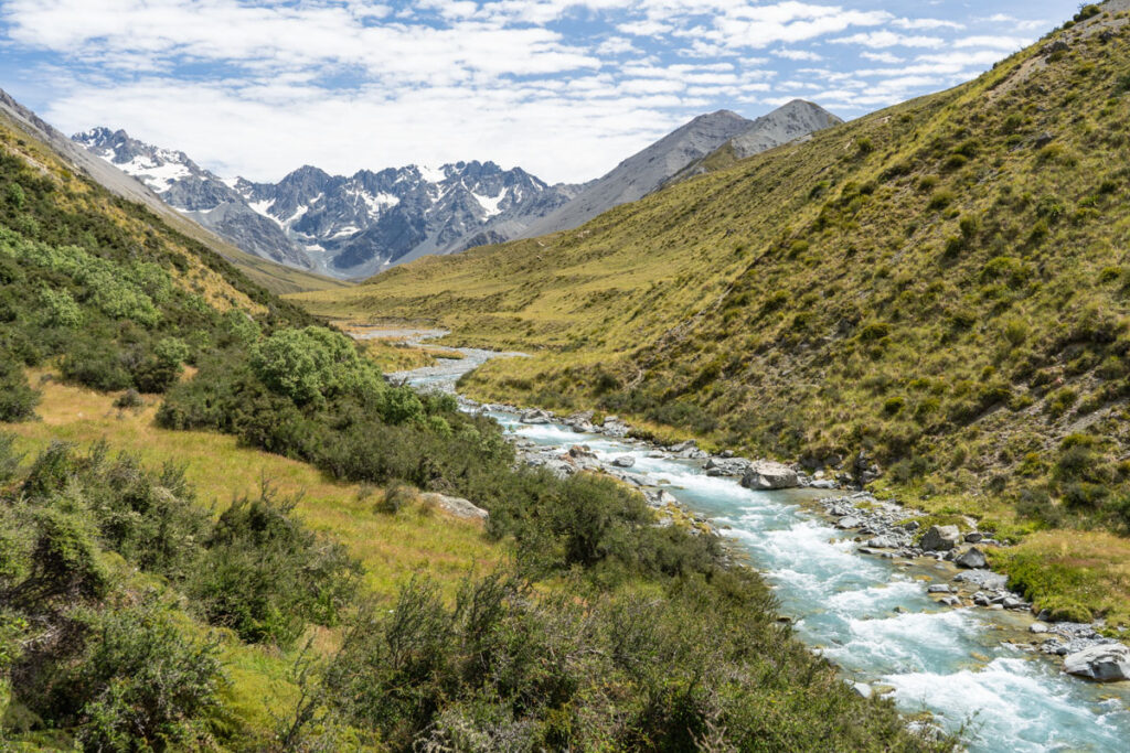
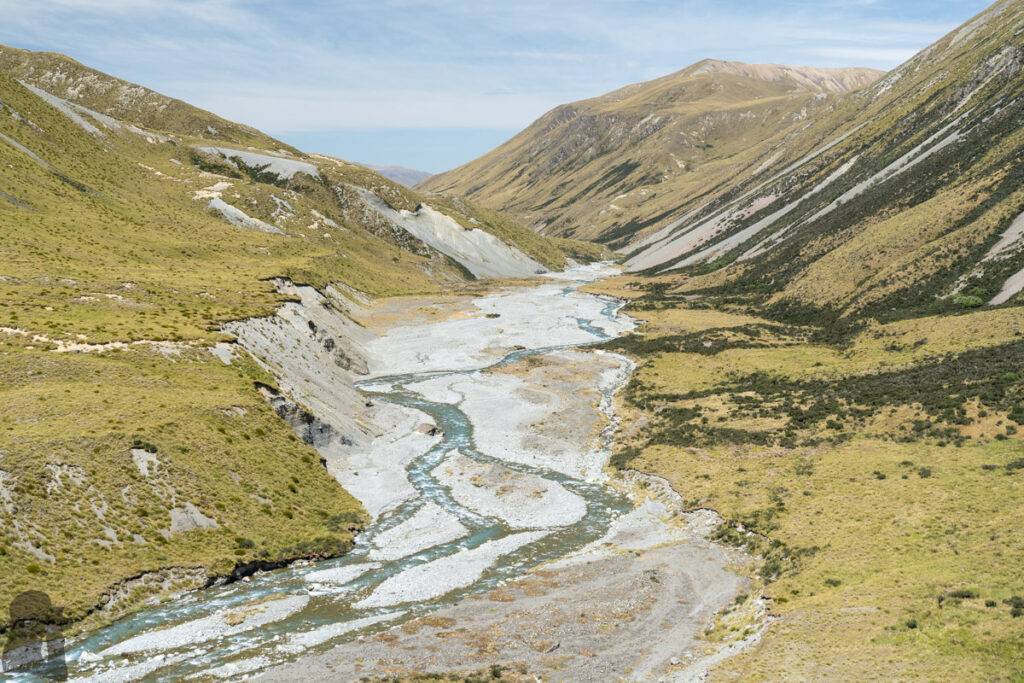
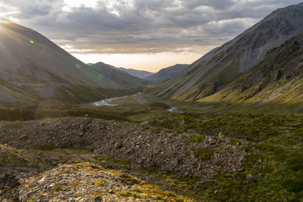
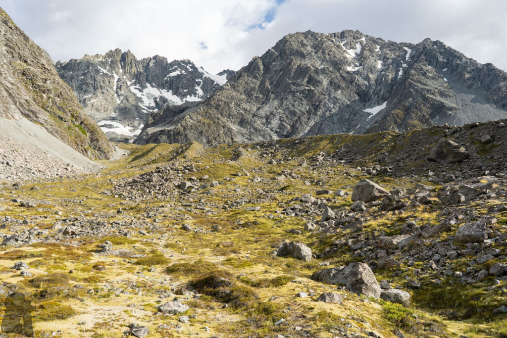
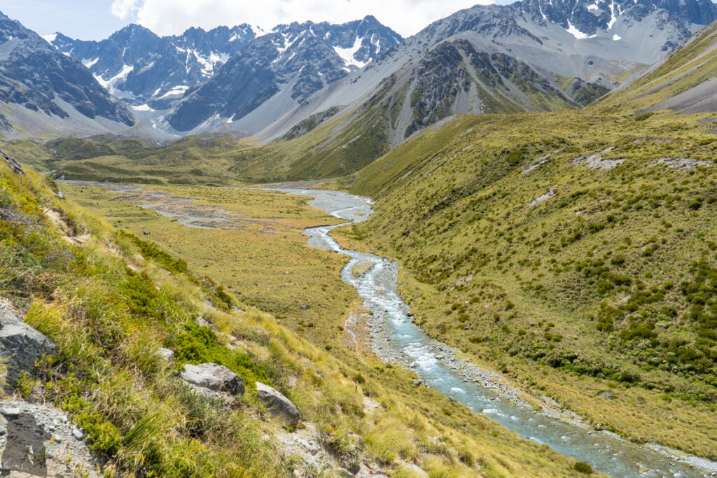
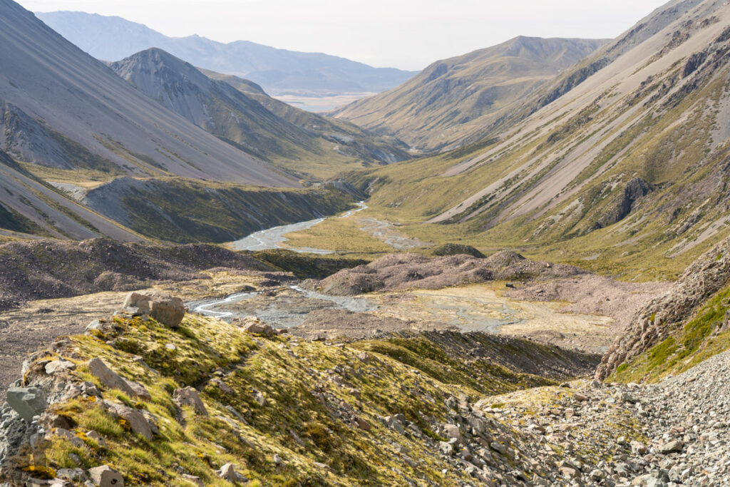
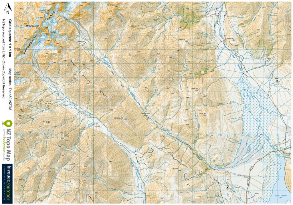
Cameron Hut Route starts at a 4WD road diverged from Hakatere Heron Road near Lake Heron and then follows Cameron River upstream until it reaches the huge valley where peaks of Arrowsmith Range towers up in front of you. My first impression from checking this trail on the map is that it seems a long but simple hike. The altitude only rises about 600 m over this 15.6-km marked trail, which appears a very gentle gradient. Also the route stays on the true right of the river, minimizing any major river crossing. This impression was very wrong!
In reality I found this route was a test for endurance and patience. Even nothing was extremely difficult but it was hard to speed up the walking pace. I remember there was no river crossing, only occasional walk along the edge of the water, the only thing met my expectation.
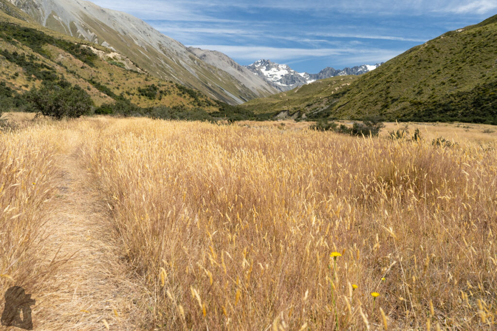
The trail was overgrown and may be hard to follow from time to time. Some poles, orange triangles and cairns were hidden or simply too far to be easily seen. On top of them, thorny matagouri or speargrass definitely slowed me down substantially. After some painful struggle, just by looking at the spiky shrubs of matagouri on the way I was scared. No, it is absolutely not a high-speed hiking track!
I hiked solo to Cameron Hut in January 2020, a 3-day trip for me to have plenty of time taking photos and exploring around the valley.
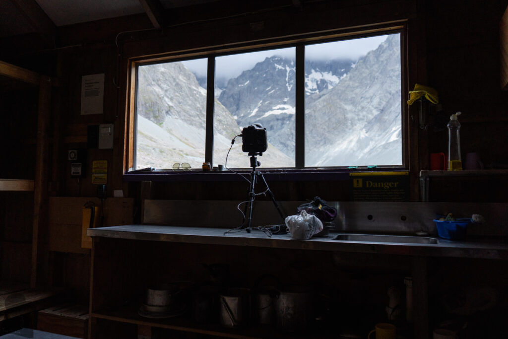
The wind in the valley was so crazy in the first afternoon that I immediately gave up the idea to pitch the tent or take picture outside the hut. After paying the fee into the box, I shot time-lapse videos through the window while the gusts shook the hut. During the boring wait for the camera, I began to read the intention book. Unsurprisingly, a few comments complained how tough the hike was. It was a lonely night as the only people staying in the hut, but I always enjoyed this precious solitude. And this hut truly saved my life.
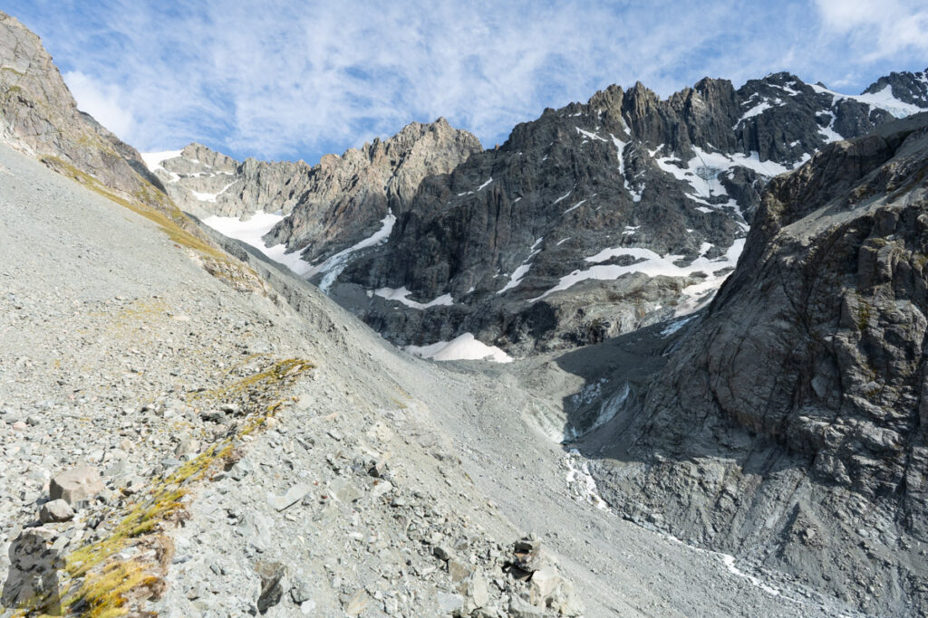
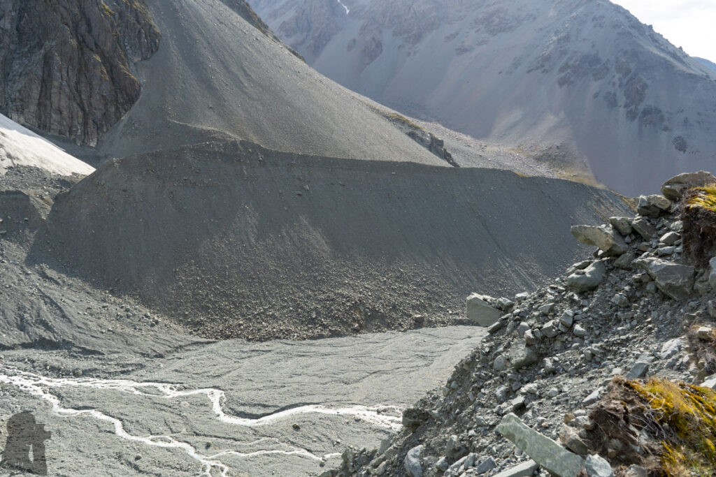
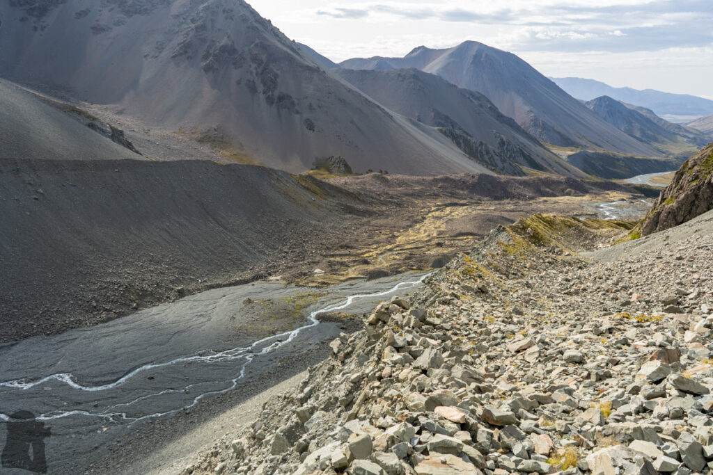
The weather was finally calm on the second day. I went to an obvious road-like incline which is to the northwest of the hut. This natural “highway” is probably the smooth side of a moraine wall left after the glacier retreat. I walked uphill on this ramp above Cameron River until this “road” tapered to the steep cliff where the terminus of the glacier showed up in front of me.
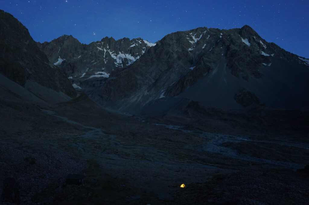
A couple arrived the hut in the afternoon. After having some friendly chat with them, I pitched my tent in the valley near the hut as planned. I am happy to enjoy the solitude for one more night and leave the hut for the nice people (so they will not be bothered by a busy photographer).
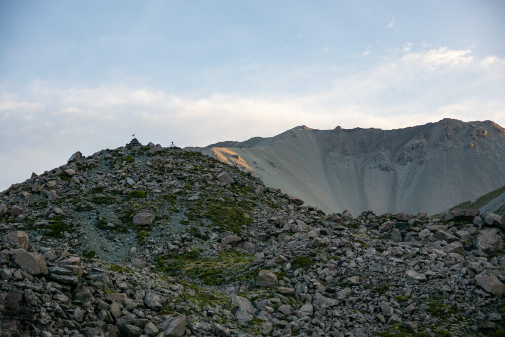
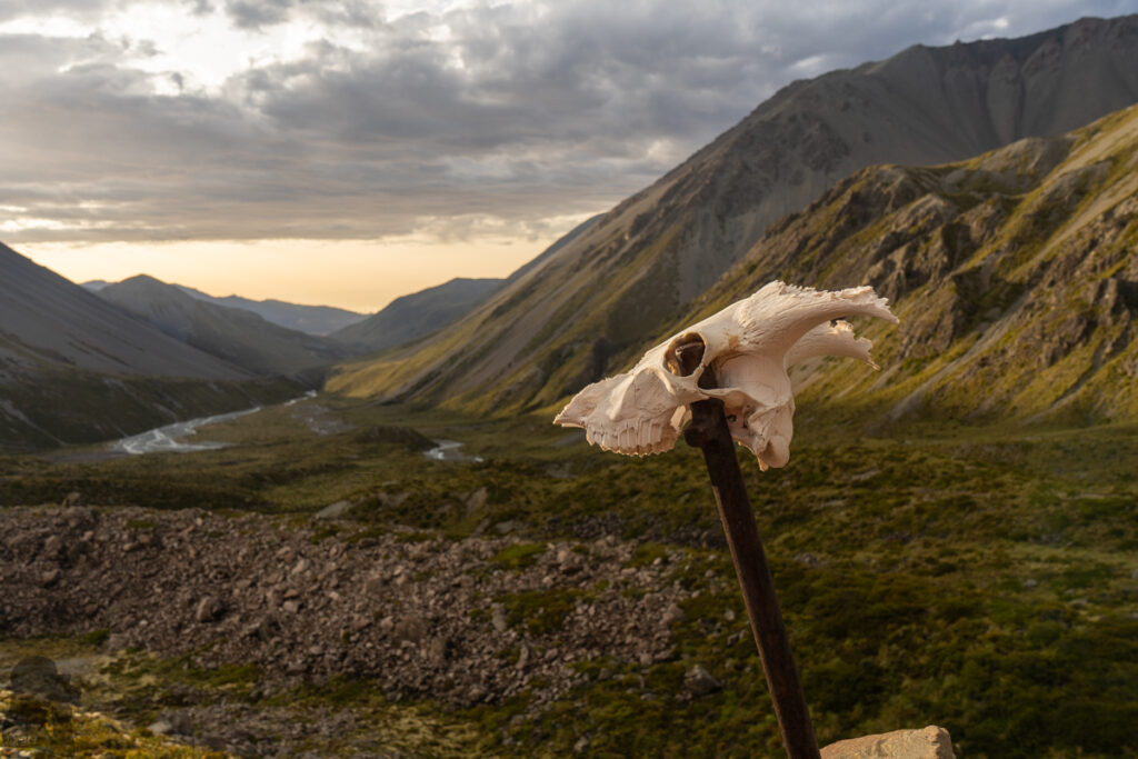
The air, calm and clear, was ideal to shoot a long time-lapse clip. I set up my camera on the top of a mound near the hut, where the only thing worried me was a kea. Just from its voice, I knew one of them was around. They are curious and naughty. Experiencing my tripod knocked down by them once before, I secured it with many stones this time, even a man would not shake it easily.
The shot was the longest one I have ever done, a day-night-day clip. When I inspected my gear in the next morning. Nothing was destroyed but a deep cut on the foam of the tripod. I suspected that was done by a kea’s claw, but when I watched the video the image was stable till the end, a mystery remained unsolved. Maybe it was the matagouri. Before other people woke up I packed all the stuff and left the valley quietly. The hike back to my car was a little bit easier than the first day’s because I already knew what to expect.
The hike on Cameron Hut Route should not be underestimated. It is tough! DOC web page says six hours to the hut, but it is very normal to take a longer time. And it would be better to treat the trail as only “partially” marked as I deviated from the route more than once even I knew the “trail” should be very close. A navigation device with offline topo map can prevent you from going astray too much. The hike would require your patience and careful observation to find the path. Also please put anything fragile or delicate inside your backpack. My foam sleeping mat was badly damaged by matagouri when I negotiated the shrubs.