The content on this website is published in English. I cannot guarantee the quality of the translated text generated by the plugin of this website. The machine-translated “names” and “terminology” are often inconsistent and/or incorrect. If it looks confusing, please switch back to the English version.
Disclaimer: Information such as the locations or the trails shown on the maps of this website might be inaccurate, misleading or out-of-date. They are only the simple illustration for the ranges of the hiking trails or the points of interest. Please prepare your own navigation device, apps, topo maps, and GPX files for hiking.
About Mauao / Mount Maunganui
The Difficulty Rating: ★☆☆☆☆
Mauao, including the tracks and the surrounding area, is closed due to the safety concern. Please click the link for the update from Tauranga City Council.
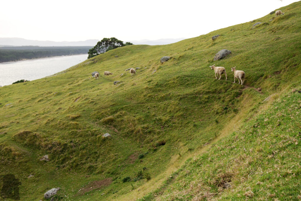
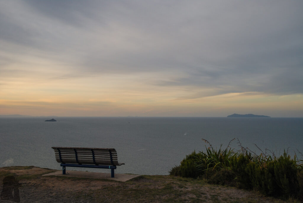
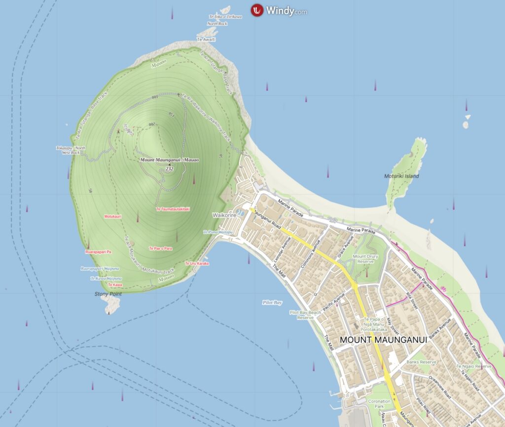
Mauao / Mount Maunganui, rising 232 m above the sea, is a lava dome located at the end of the peninsula of Mount Maunganui in Tauranga. It is not just a prominent landmark of Tauranga Harbour but also has cultural and historical significance.
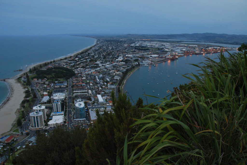
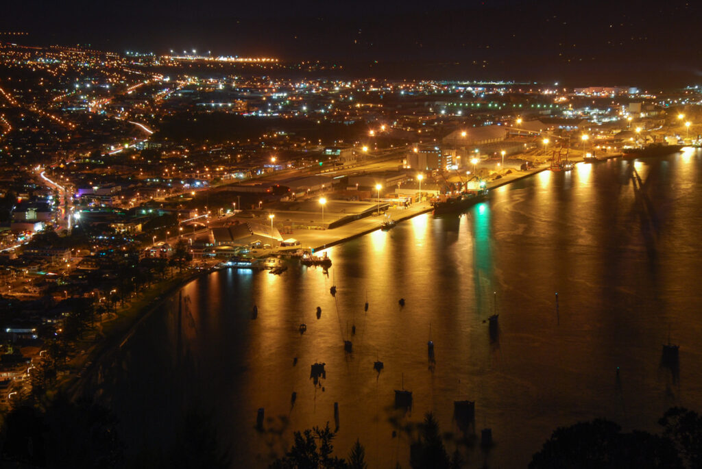
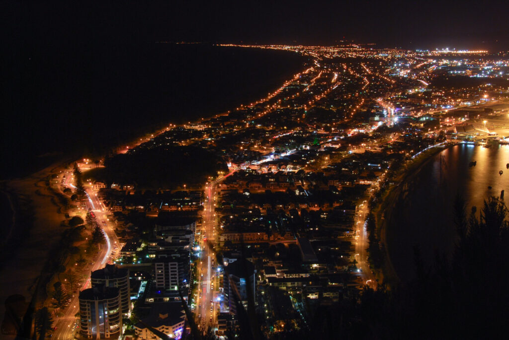
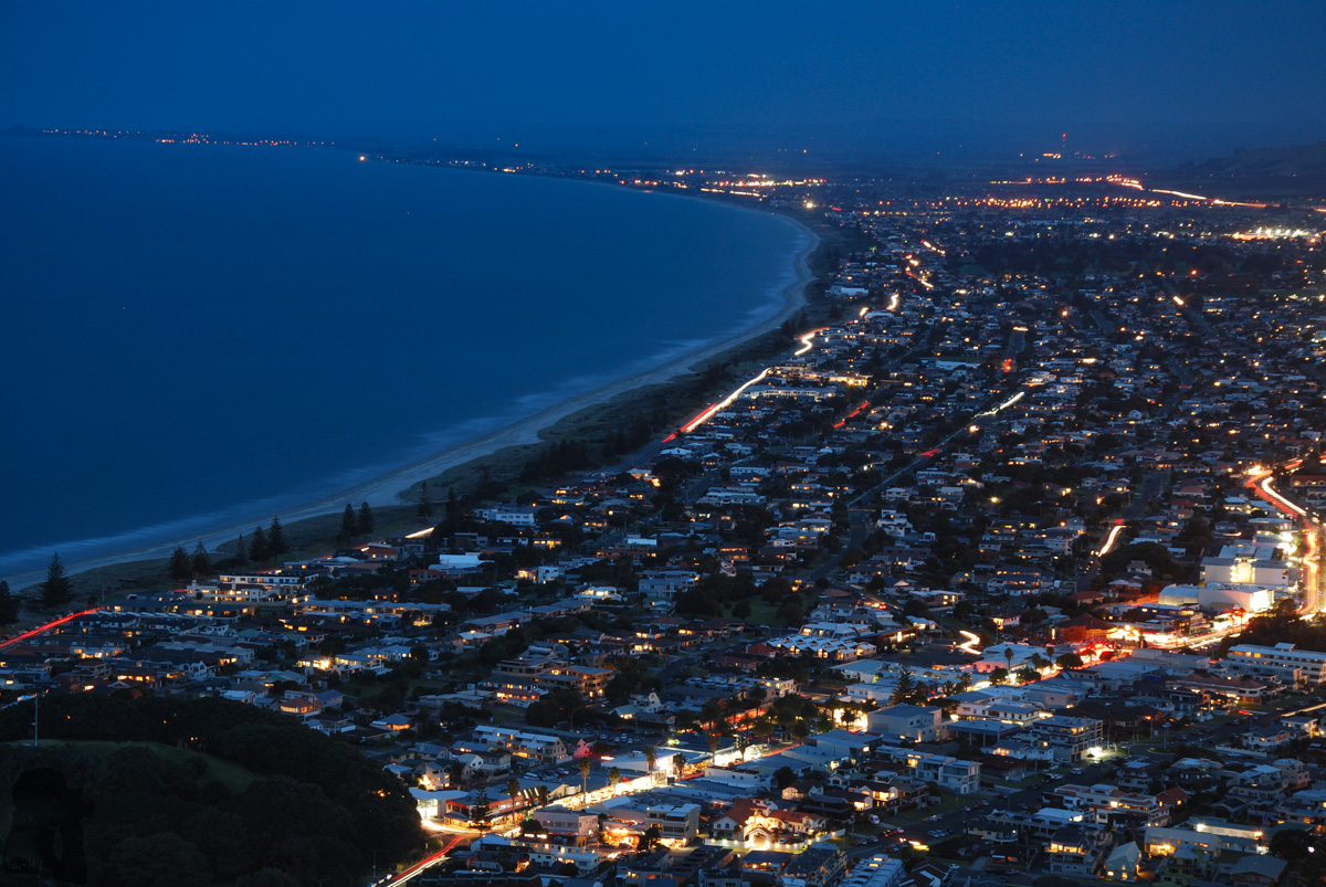
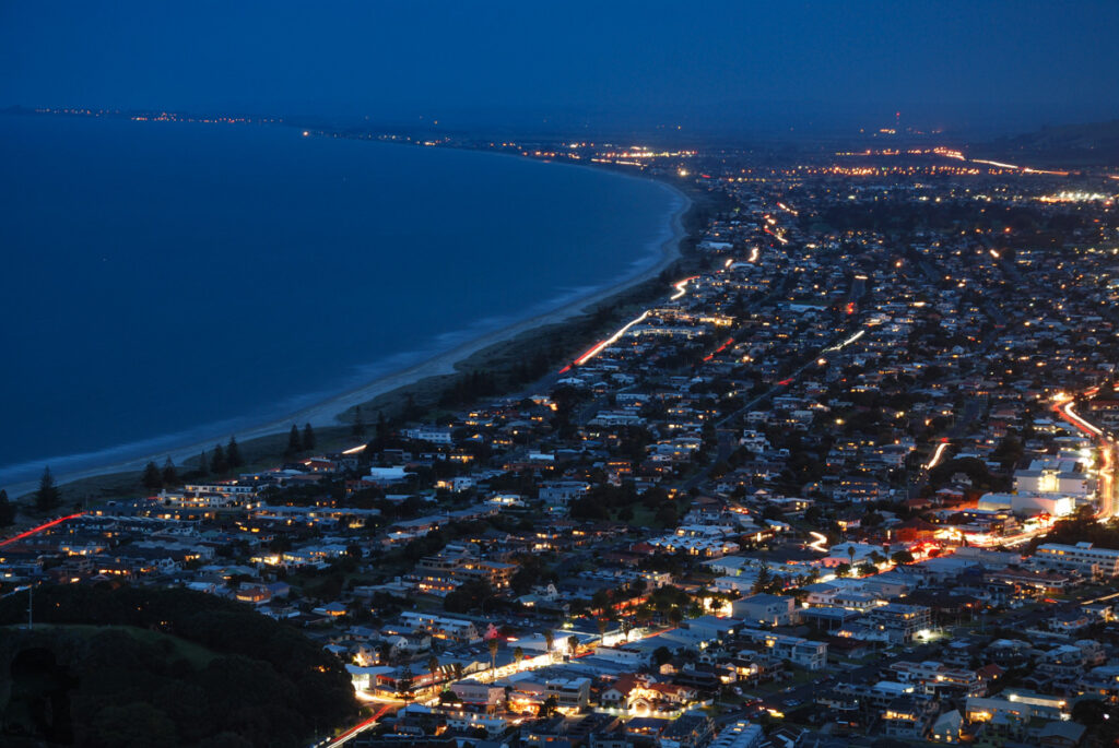
Like some of the tracks on the volcanoes in Auckland, the walk to the top of Mount Maunganui via the track of gentle gradient was not difficult. In 2014 my cousin took us there in the evening. Even it was getting dark, there were still many people on the track, probably something normal as it is one of the most-visited spots in Tauranga. We took some pictures of the nightscape of the peninsula where one side features the long beach while the other is industrial. After the dusk the city light along the curving coastline reached the horizon, an iconic scene commonly photographed from Mount Maunganui.