The content on this website is published in English. I cannot guarantee the quality of the translated text generated by the plugin of this website. The machine-translated “names” and “terminology” are often inconsistent and/or incorrect. If it looks confusing, please switch back to the English version.
Disclaimer: Information such as the locations or the trails shown on the maps of this website might be inaccurate, misleading or out-of-date. They are only the simple illustration for the ranges of the hiking trails or the points of interest. Please prepare your own navigation device, apps, topo maps, and GPX files for hiking.
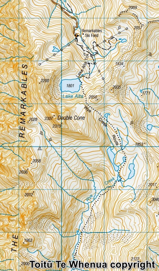
Sourced from Topo50 Map CC11 Queenstown. Crown Copyright Reserved
About the camping on The Remarkables
The Difficulty Rating: ★★★★☆
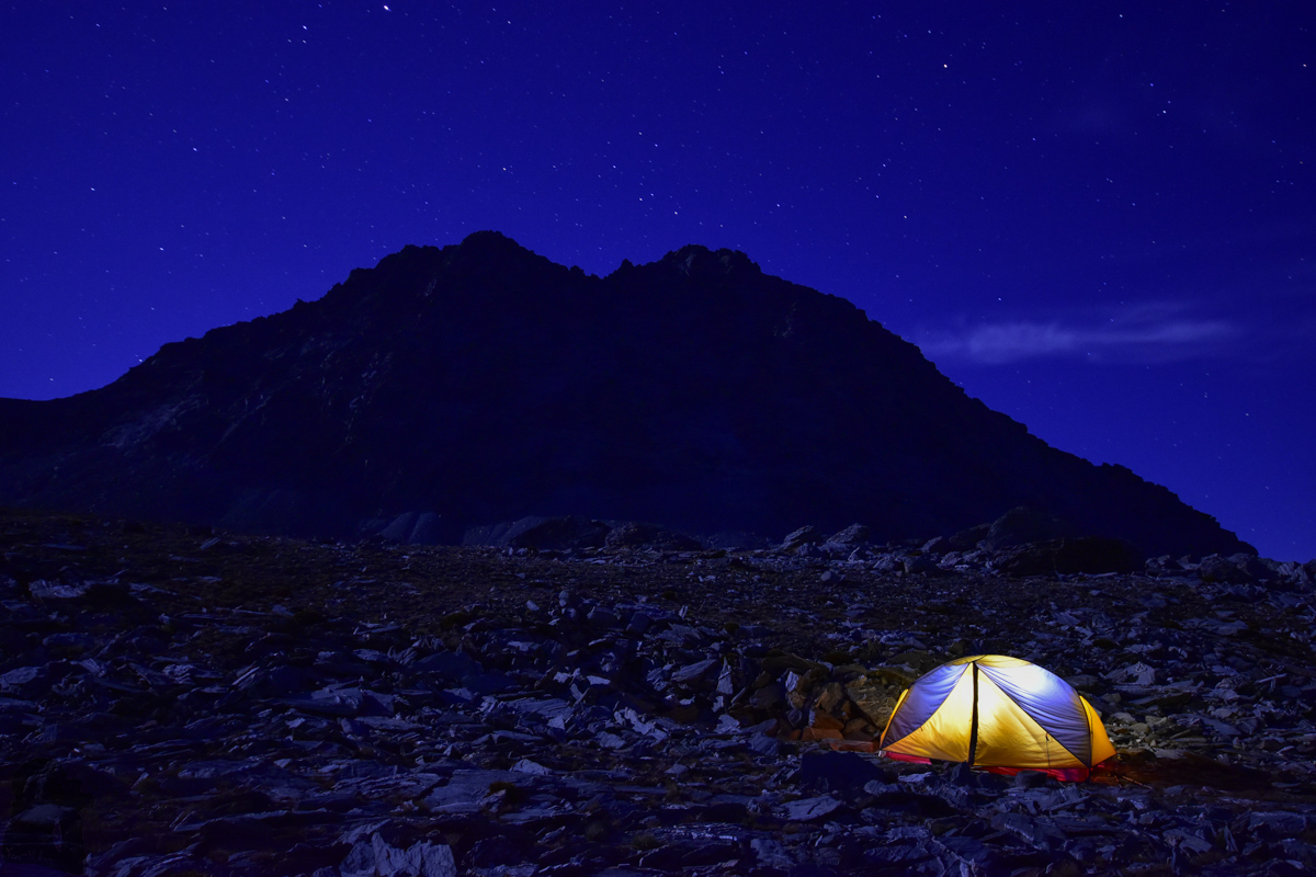
This post is about a special camping trip below the imposing peaks of Double Cone. I did not climb those peaks.
Double Cone are the highest peaks on The Remarkables, the prominent range towers up on the eastern side of Lake Wakatipu. It is hard not to notice this majestic range once visitors arrive Queenstown. Whenever you are strolling along the shore, riding the gondola, or climbing high to Ben Lomond, this is the range that overlooks the entire landscape from the other side of the lake.
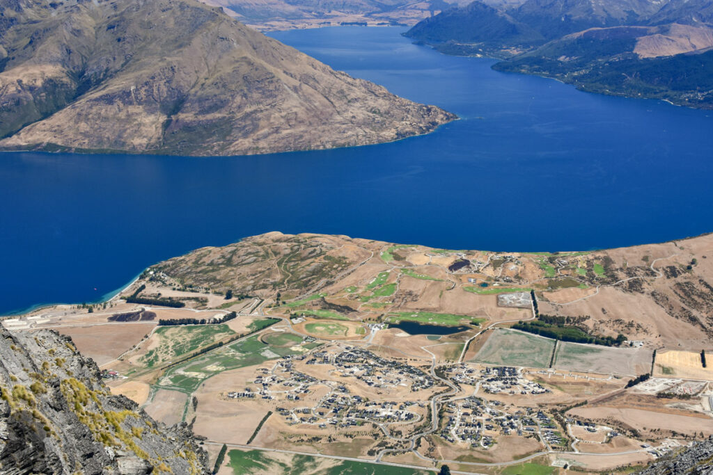
During my first visit in Queenstown in 2016, the image of The Remarkables impressed me while I was standing at the lookout of the gondola station. “The view would be more stunning if I can watch Queenstown from this range”, that was the wild idea popping up in my mind. But because of the intimidating look of the peaks on this range, I thought that would be a very technical task, too hard to be executed by me.
In 2017 by randomly looking at the topo map, I accidentally saw the ski field and a hiking trail behind The Remarkables. And most importantly, they are fairly close to the ridge near Double Cone. Later in this year I visited Lake Alta and also Wye Creek Basin. After these two hikes I learned that it is possible to reach the ridge and camp somewhere under Double Cone without risking too much as my goal was only to view Queenstown from the ridge, not from the summit.
In January 2018 I carried out this small adventure. I did some research beforehand but did not find any relevant information even there have been many climbs for Double Cone. So I was not certain where I can pitch my tent on the ridge, but it seemed promising from the topo map and my route simulation with Google Earth.
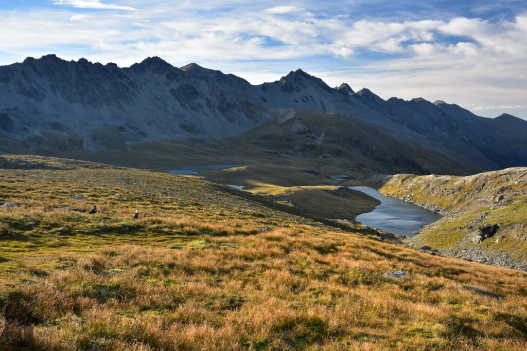
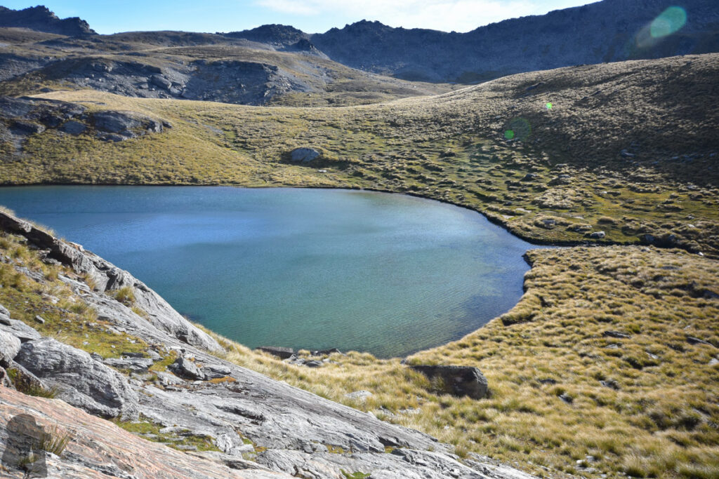
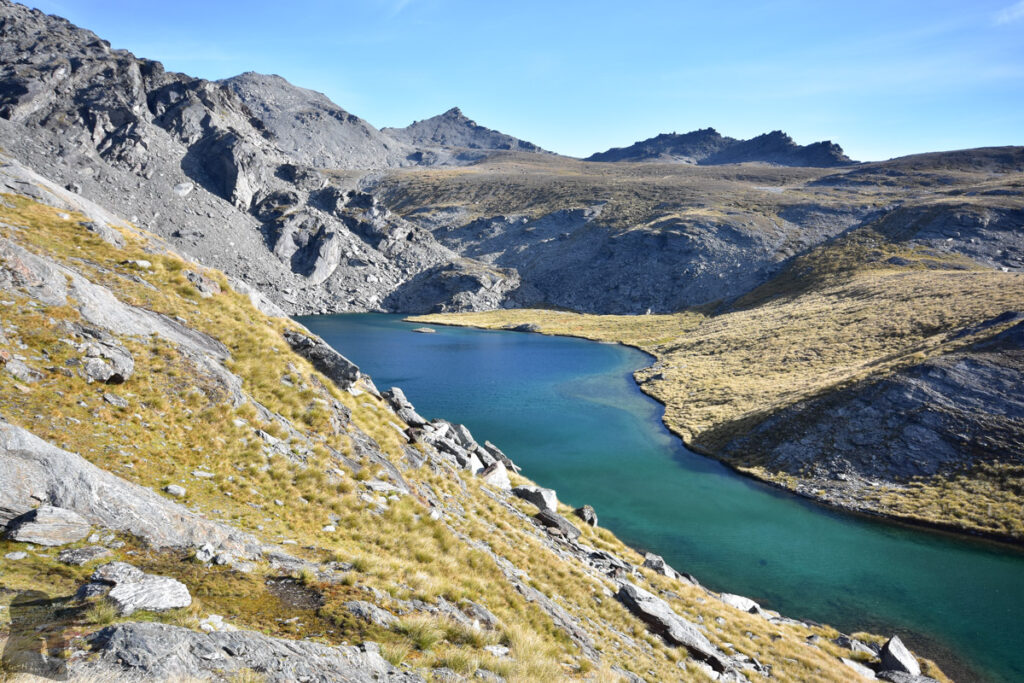
Anyway, I began the hike from the ski field and repeated the same route to the Wye Creek Basin where a few beautiful lakes lie there. Then I veered off Wye Creek Route, starting the ascent from a lake and moved northwesterly toward the prominent Double Cone by following a gentle gradient.
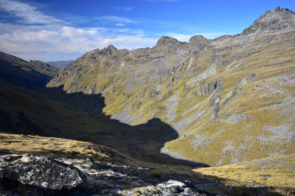
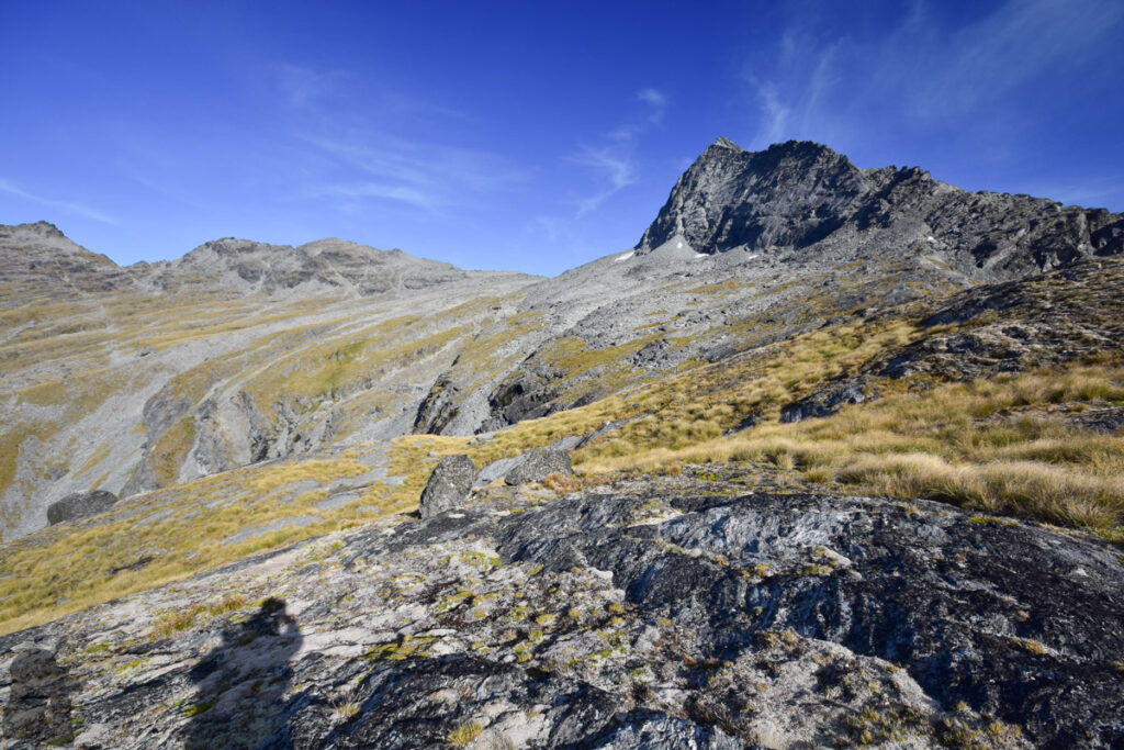
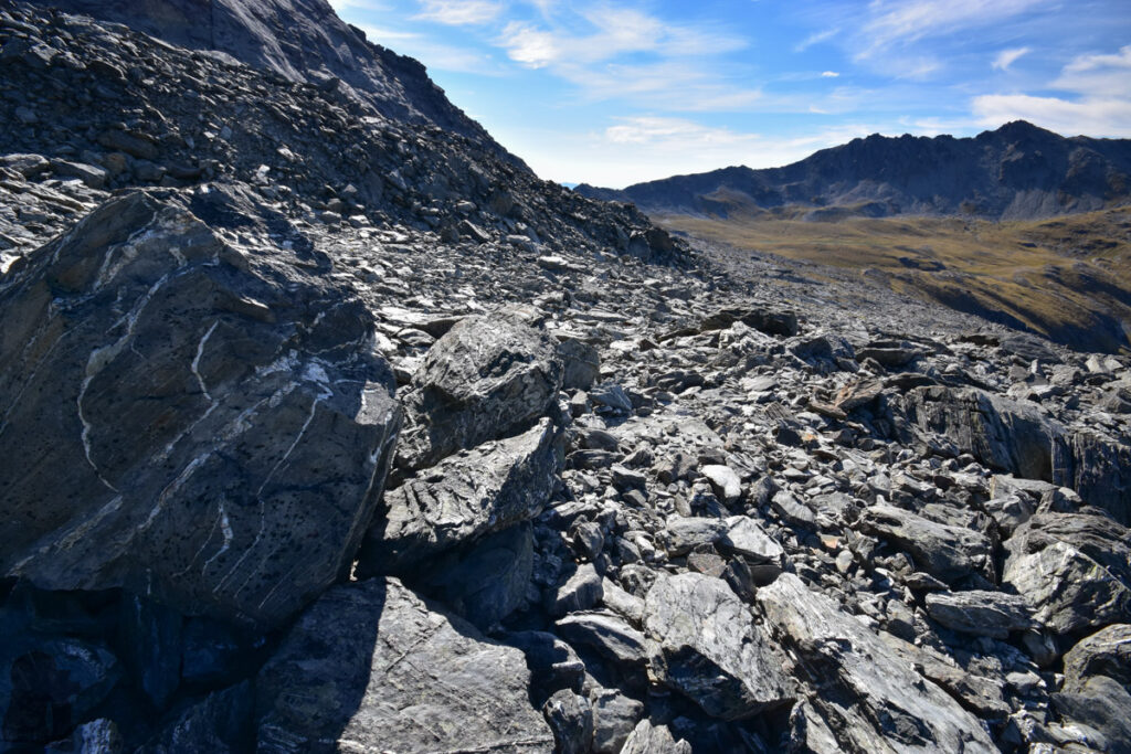
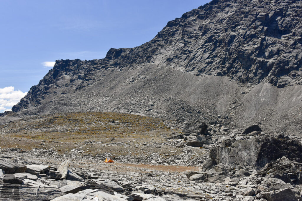
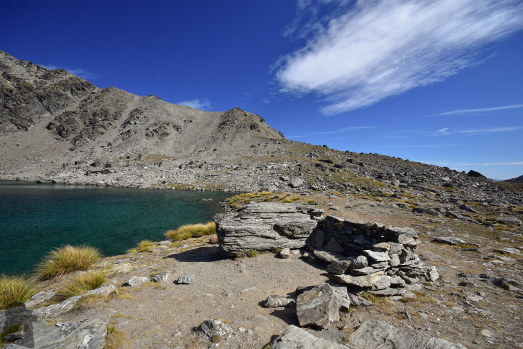
Although there is a stream on the map which seems almost reaching the ridge near Pt 2028, I still took enough water from a lake before the climb which was a wise call. As I went further away from the valley, the ground became more barren and rocky. The higher I climbed the bigger the boulders appeared. The stream on the map was probably underground because I did not see it but kept hearing the sound under my feet. I needed to stop the temptation to move some rocks away to see what was down there. It was not too demanding to reach the broad ridge near Pt 2028 after some scrambles on the rocky terrain in order to follow a planned route.
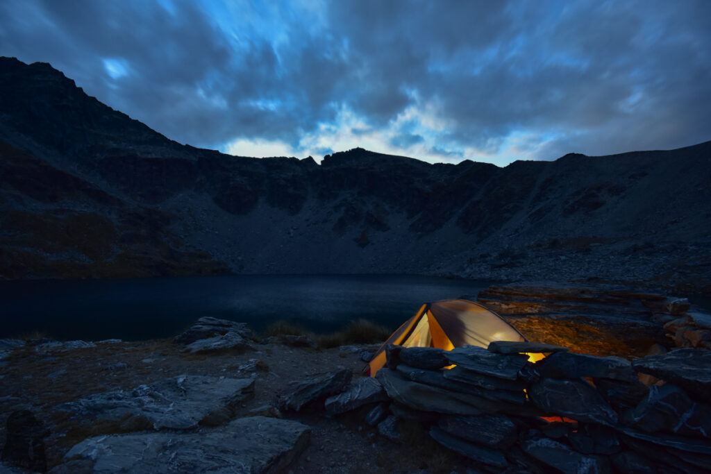
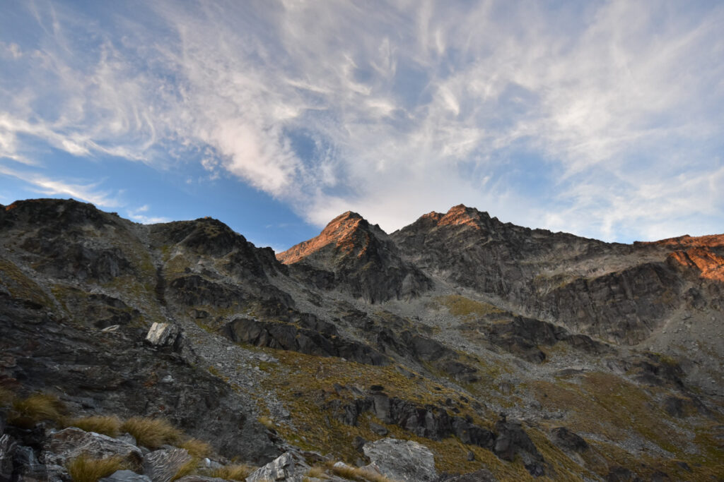
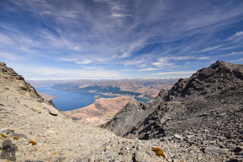
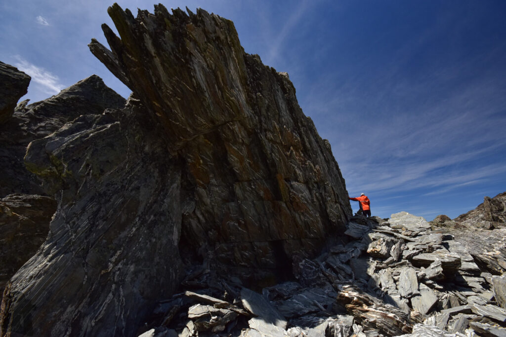
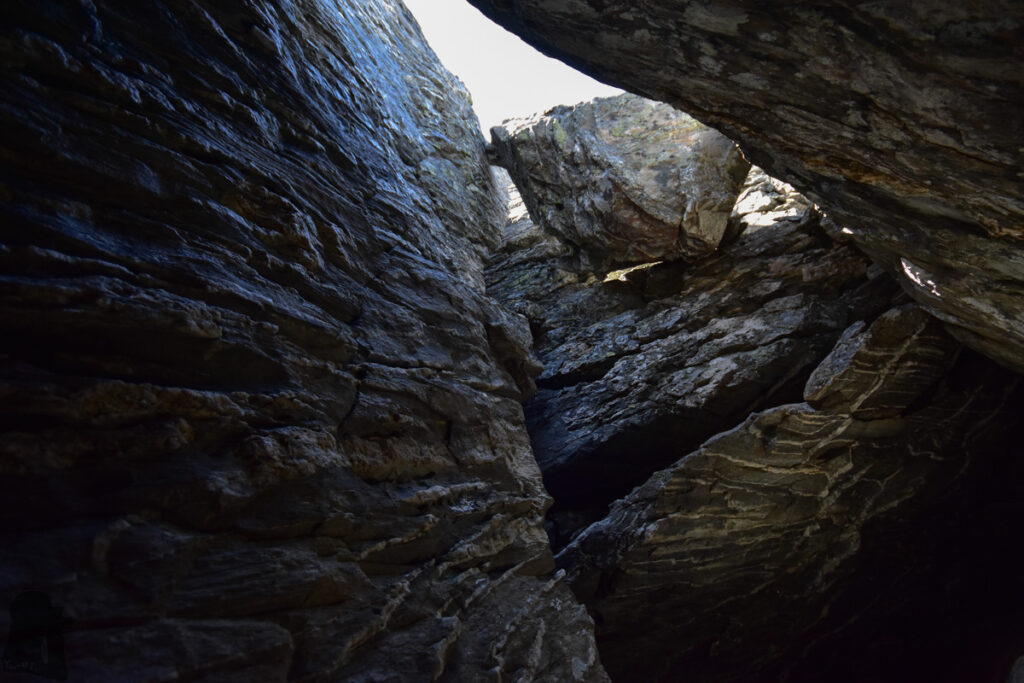
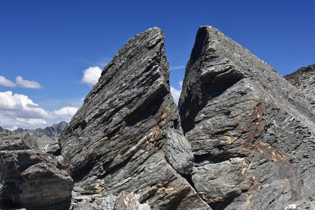
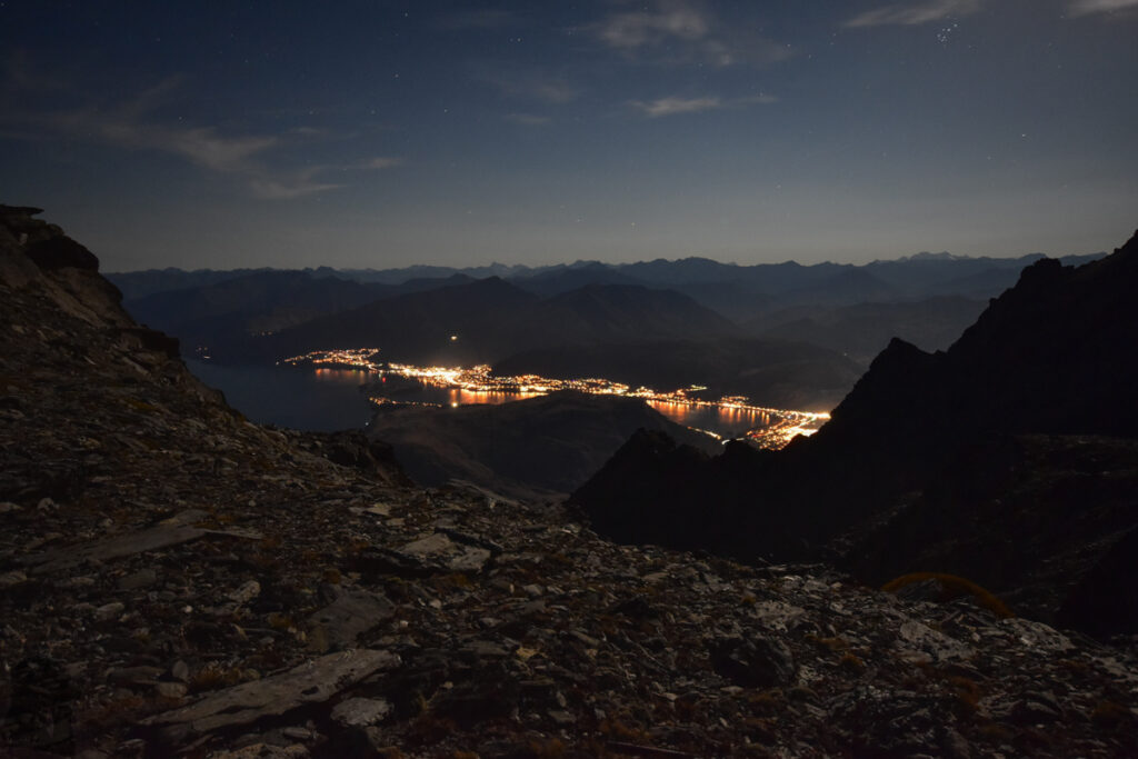
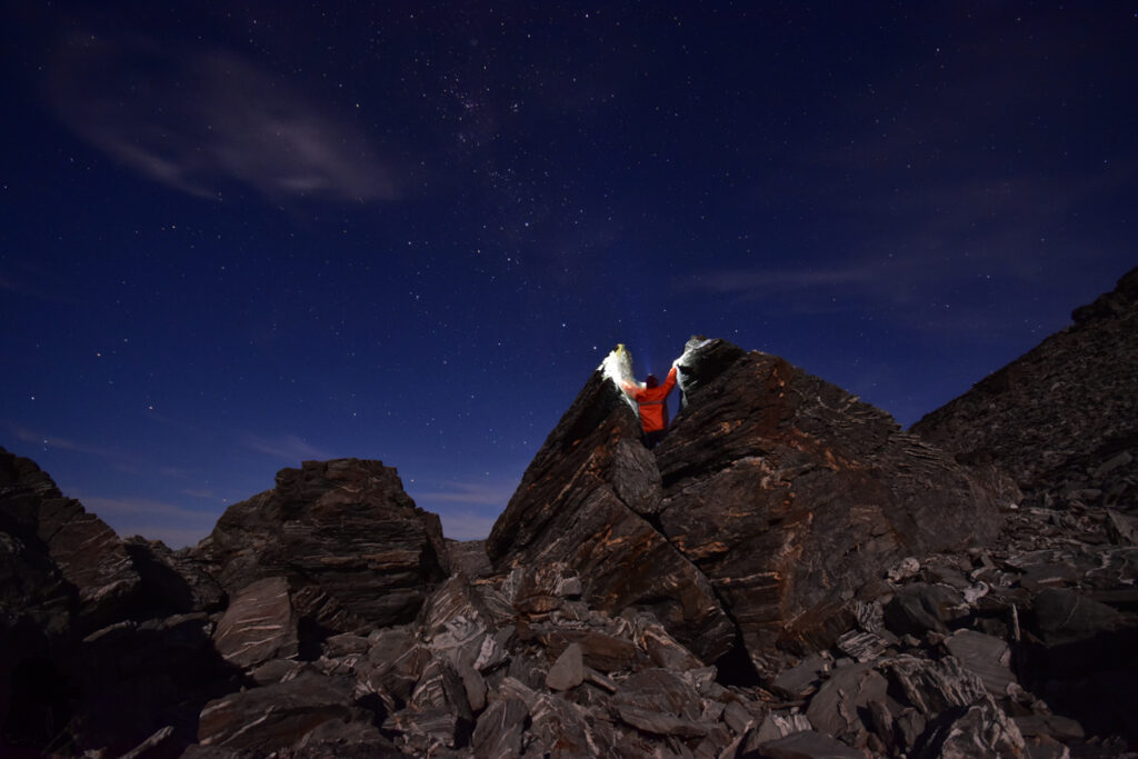
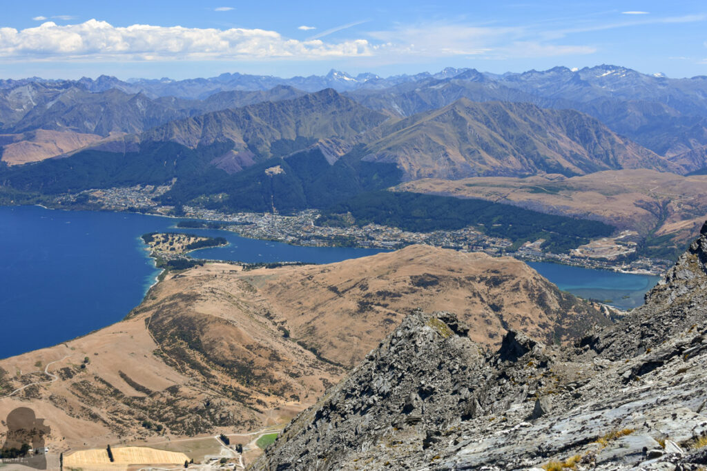
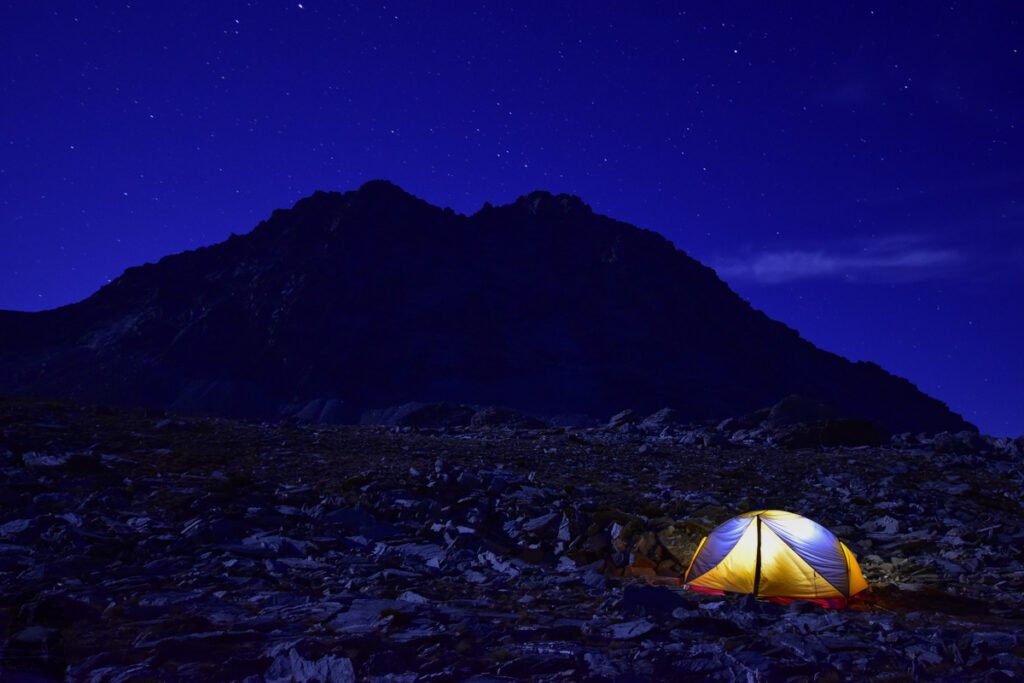
The moment when the view from Lake Wakatipu, Queenstown and the mountains beyond them came to my sight was so fulfilling and unforgettable that I felt something epic was achieved, a small adventure deemed impossible for me! I pitched my tent in a slightly hollow place in front of the gigantic Double Cone, away from the edge of the ridge, possible falling rocks and strong wind, and then I began to explore the interesting rock forms around.
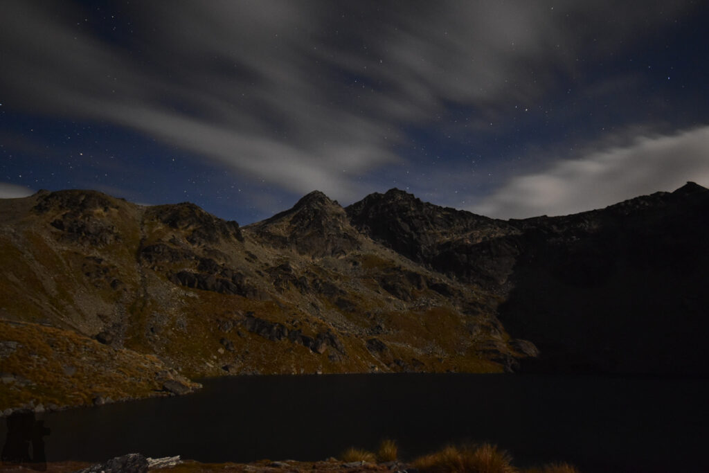
One thing was weird in that location. Since I left Lake Alta, I did not see any other hikers, but from time to time I heard voices likely from a group of young people who were not too far from my tent. I tried to track the source but did not get any visual. I thought the chance to meet anyone in such a strange place should be slim although the voice did sound like from human beings. Anyway there might be really a team of people nearby. Their voice was gone in the night when I was busy taking photos and so it was not too creepy.
This trip includes a section of off-trail hiking and therefore navigation and route-finding skills are required. Carrying a navigation device with offline topo map can be helpful if you want to go beyond Lake Alta as I recall the route after there was unpoled.