The content on this website is published in English. I cannot guarantee the quality of the translated text generated by the plugin of this website. The machine-translated “names” and “terminology” are often inconsistent and/or incorrect. If it looks confusing, please switch back to the English version.
Disclaimer: Information such as the locations or the trails shown on the maps of this website might be inaccurate, misleading or out-of-date. They are only the simple illustration for the ranges of the hiking trails or the points of interest. Please prepare your own navigation device, apps, topo maps, and GPX files for hiking.
About the walk in Tasman Valley
The Difficulty Rating: ★☆☆☆☆
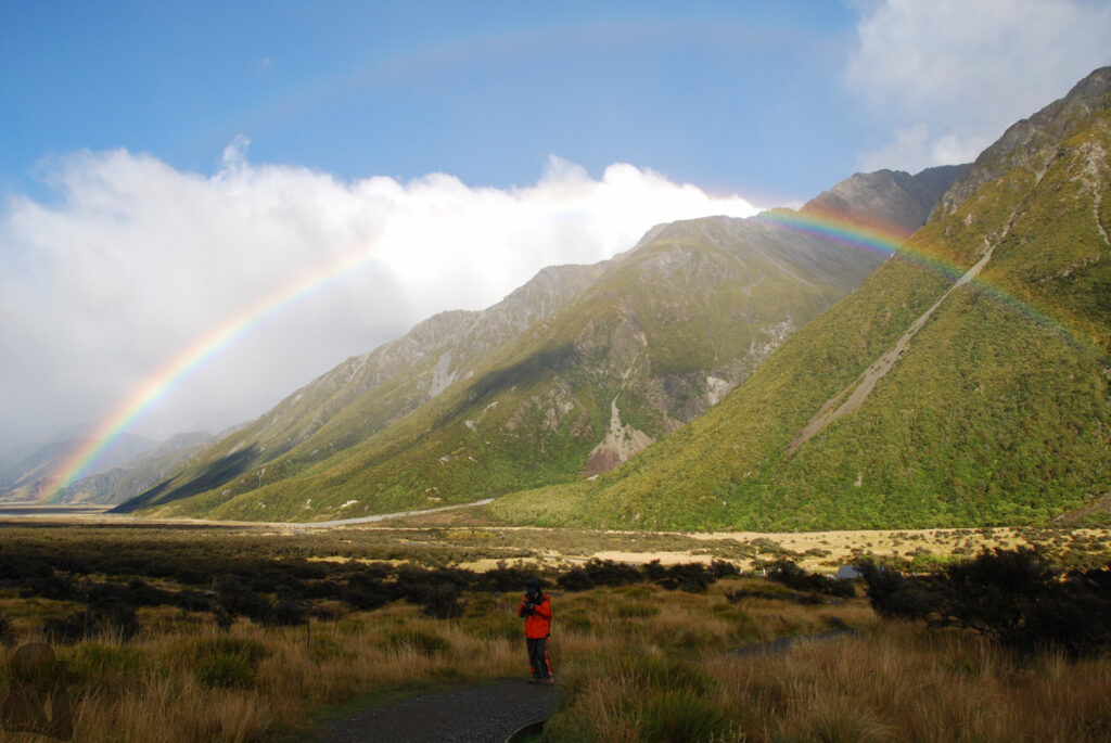
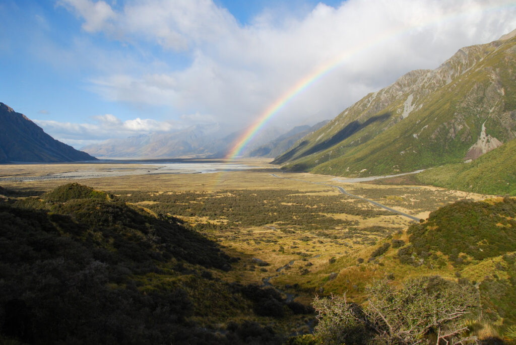
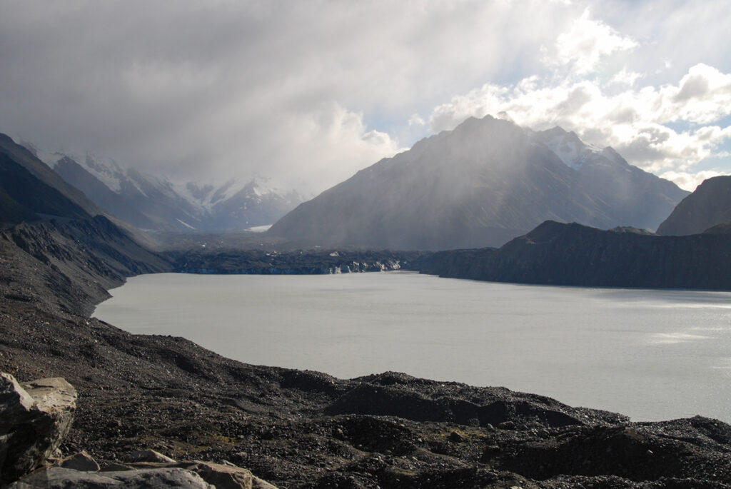
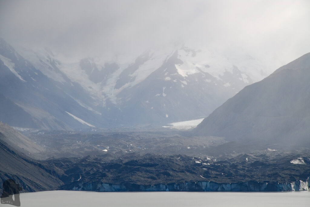
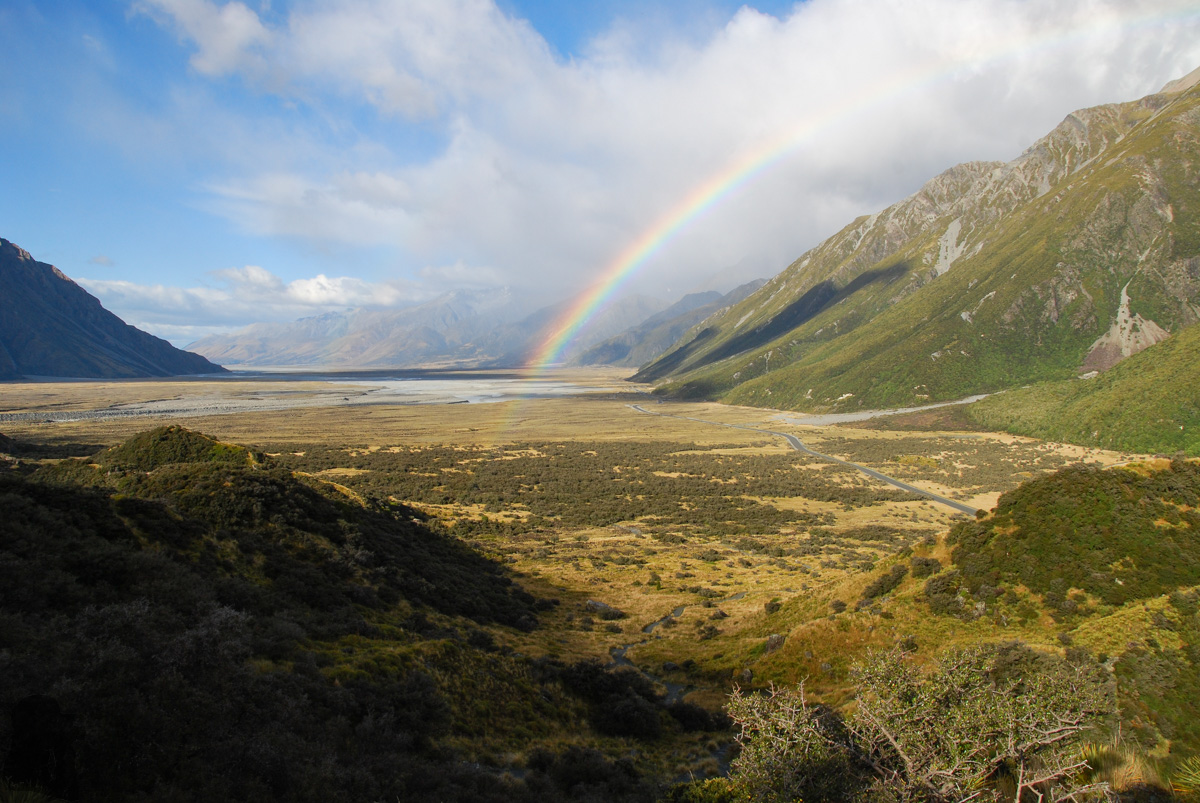
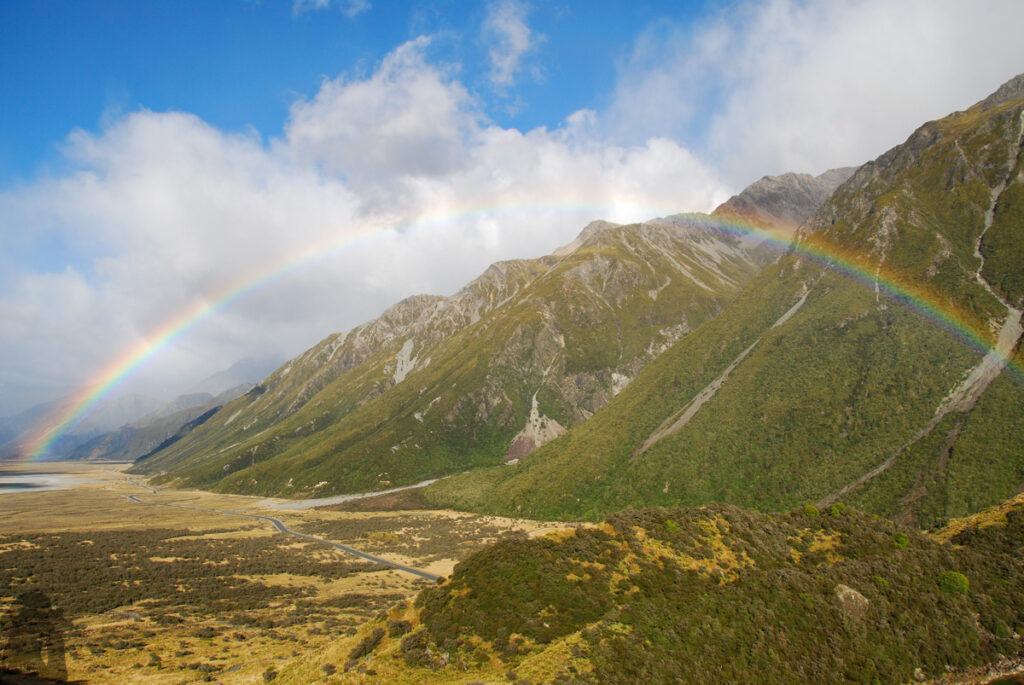
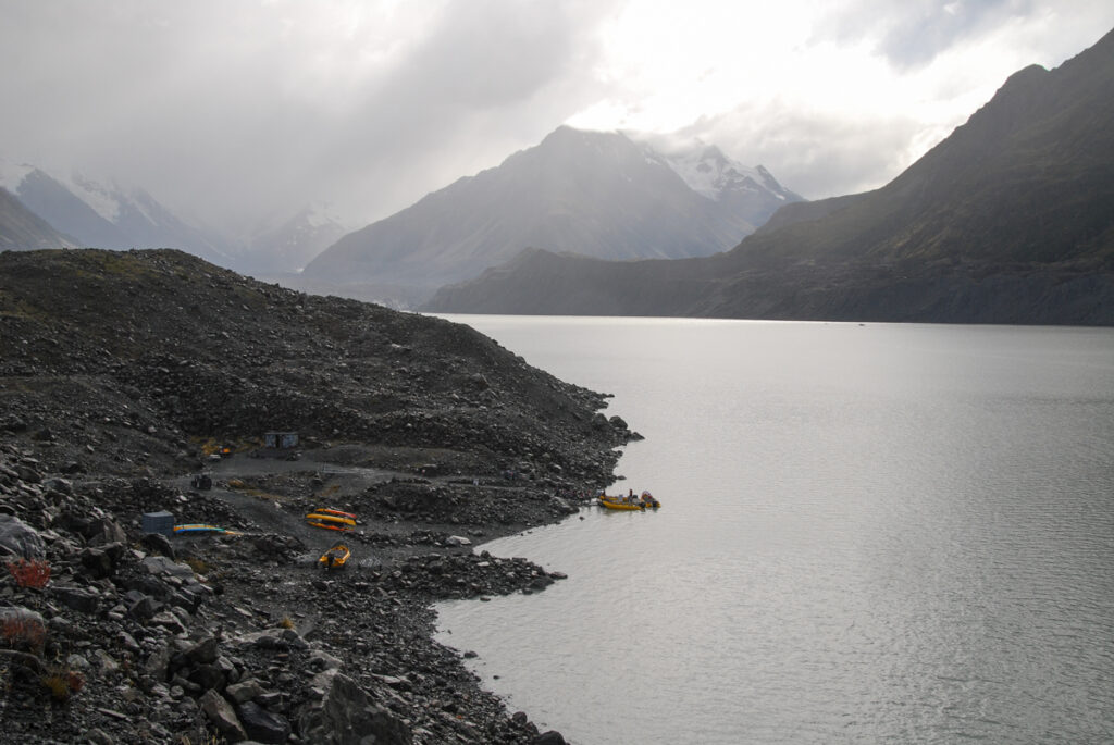
Tasman Valley is separated from Hooker Valley by Kirikirikatata / Mount Cook Range. In comparison to its neighbor where Mt. Cook Village is located, Tasman Valley is much quieter. The valley features Tasman Lake, which is formed after the longest glacier in New Zealand, Tasman Glacier, retreated.
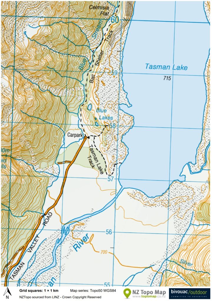
The car park at the end of Tasman Valley Road is the trail head of Ball Hut Route and also the short walk for Tasman Lake and River Track.
My partner and I walked this track on the first day of our 3-day Mt. Cook trip in 2014 before we can check in the hotel. We finished the walk quickly as the trail had smooth gradient and was very well-formed. The walk itself was simple but I was astonished by rate that Tasman Glacier retreated each year. While we were there we only saw a few tourists getting on or off a boat for their glacial tour and maybe a guide of that group, otherwise it was silent.
If you have time and experience to hike on more exciting trails in this area, you may consider Mueller Hut Route or even Sefton Bivouac.