The content on this website is published in English. I cannot guarantee the quality of the translated text generated by the plugin of this website. The machine-translated “names” and “terminology” are often inconsistent and/or incorrect. If it looks confusing, please switch back to the English version.
Disclaimer: Information such as the locations or the trails shown on the maps of this website might be inaccurate, misleading or out-of-date. They are only the simple illustration for the ranges of the hiking trails or the points of interest. Please prepare your own navigation device, apps, topo maps, and GPX files for hiking.
About Bilushan – Yangtoushan Trail
The Difficulty Rating: ★★★⯪☆3.5
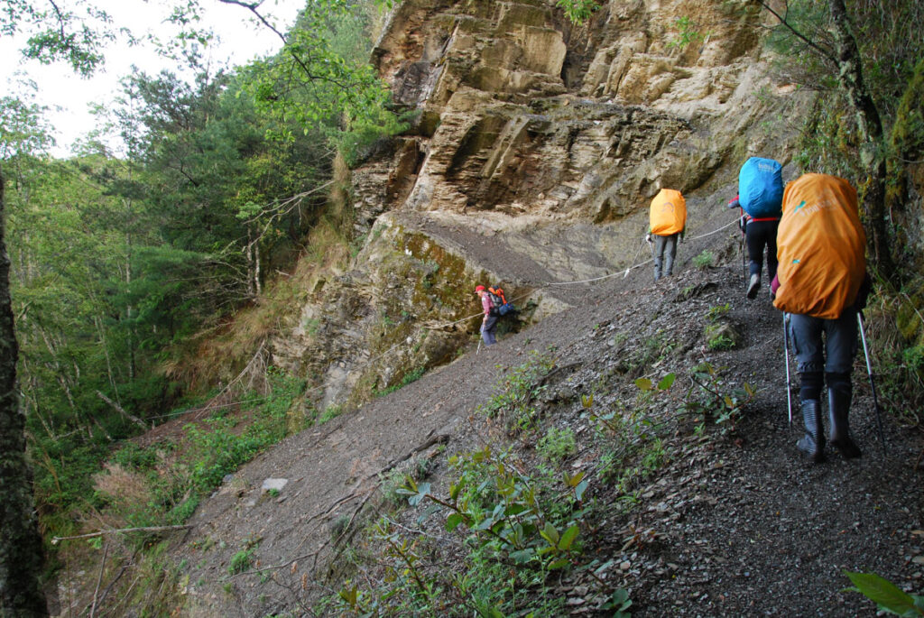
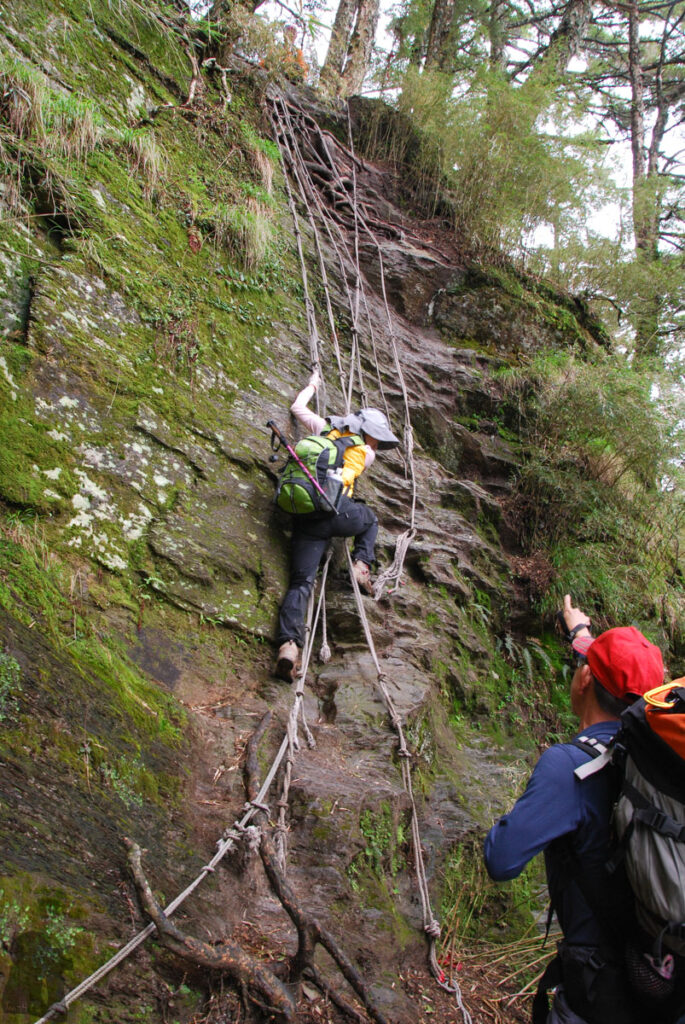
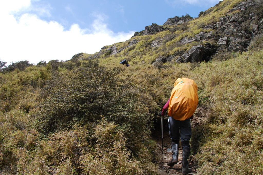
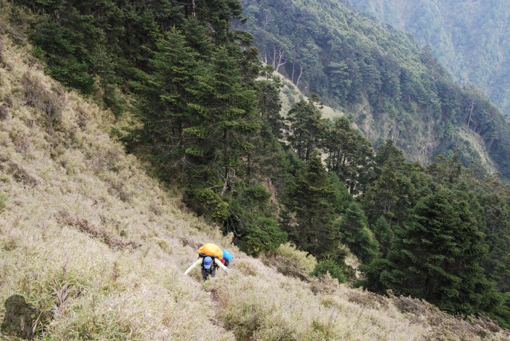
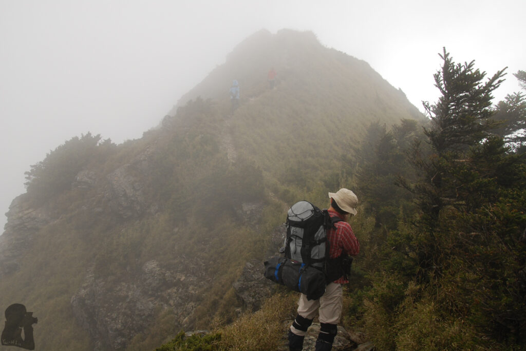
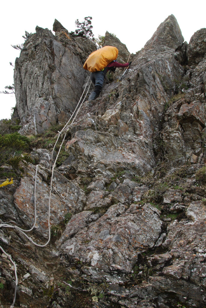
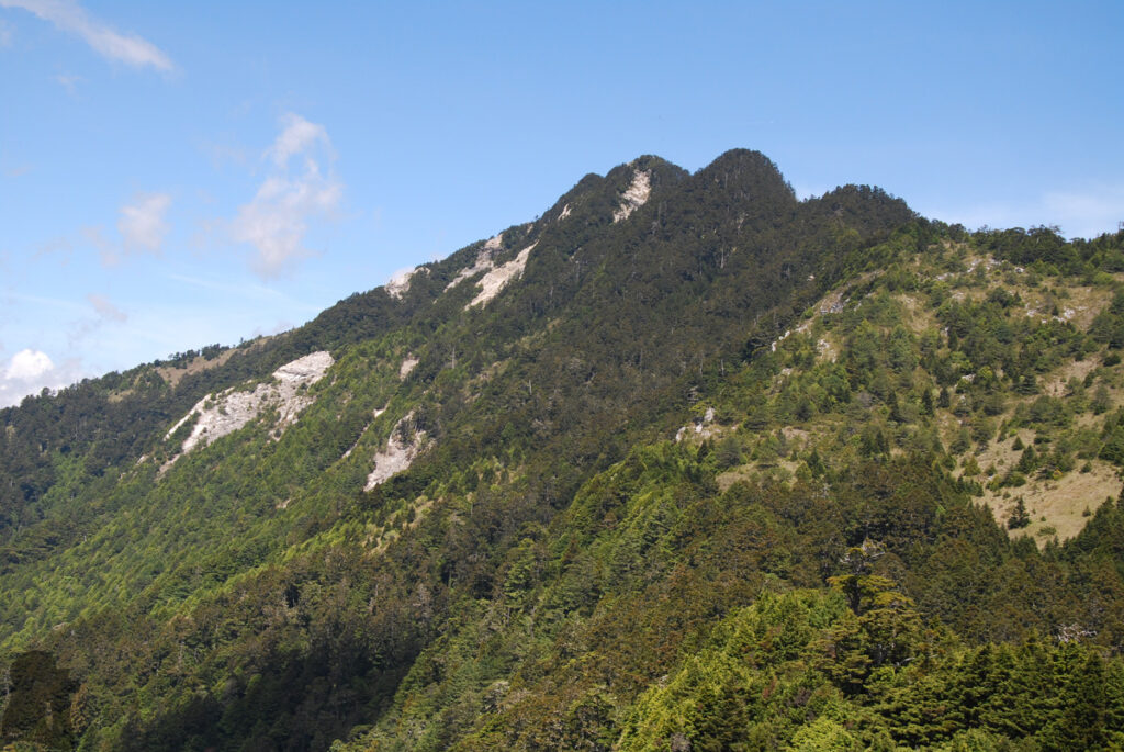
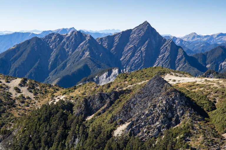
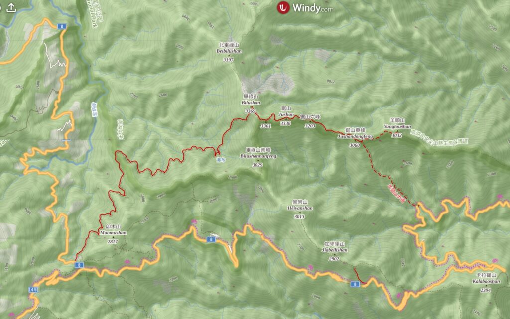
Bilu-Yangtou (畢祿羊頭) (or Yangtou-Bilu 羊頭畢祿) is an alpine trail to the south of North Section 2, Central Mountain Range (北二段) and to the north of Pingfengshan-Qilaishan (屏風山-奇萊山) ridge. The western side of the trail starts from Dayuling (大禹嶺), where the Highway 14 joins Highway 8. The trail follows 820 Forest Road first and then becomes very steep after the forest road, climbing sharply to the ridge. Between Bilushan (畢祿山) and Yangtoushan (羊頭山) there is a serrated ridge where hikers need to negotiate the peaks of Jushan (鋸山) until reaching the trail junction of Yangtoushan. Then it is a 1000 m descent after the junction to finish the hike at the trail head beside Cien Tunnel (慈恩隧道) on Highway 8.
This hike is normally a 2-day trip. As it is relatively short, this hike can be a good touchstone for hikers who want to do longer and more difficult hiking in the future. For someone who just want to climb the two Baiyue peaks, Bilushan and Yangtoushan, they may do two separated return trips from each trail head instead of completing the full length of the trail, and thus they do not need to stay on the ridge overnight and pass the challenging section around Jushan.
Providing you will start the hike from the western side of the trail at Dayuling:
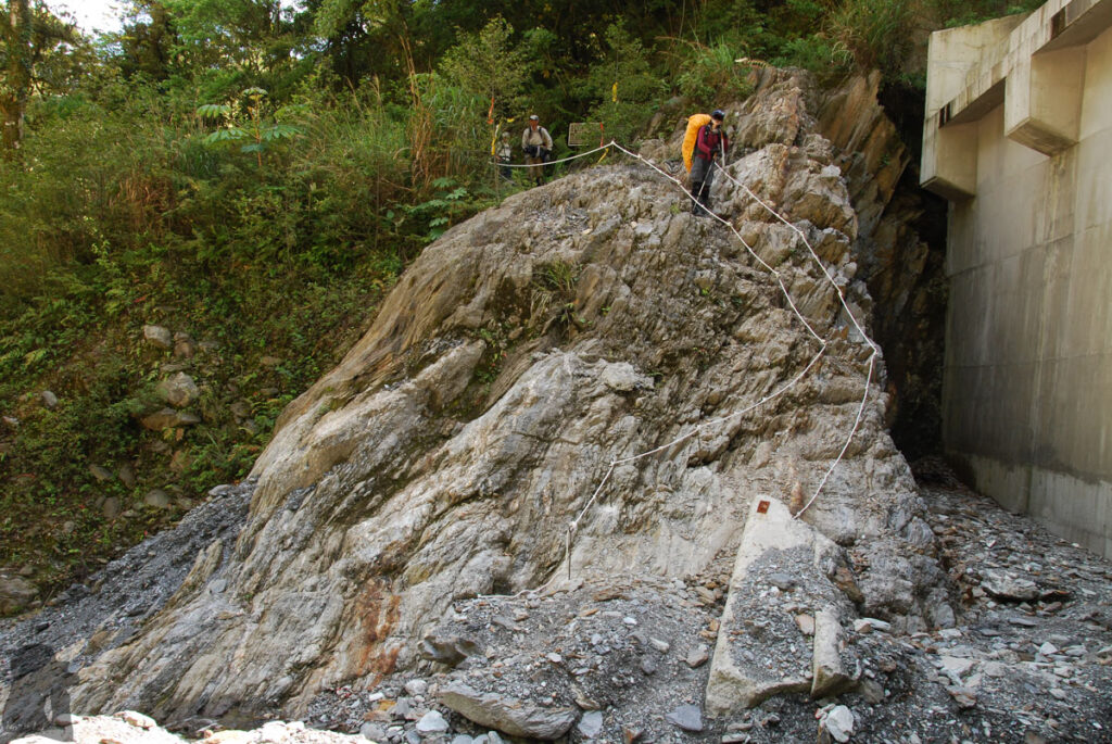
The old trail head at 820 Forest Road end is subject to landslide, do consider taking the detour to bypass that landslip. Or get the update of the forest road from Taroko National Park as it may be impassable from time to time.
You also need to get enough water for the night and the following day from the forest road because once you ascend from there, no water source is available on the ridge. The water tank of Jushan East Cabin (鋸東避難小屋) might be empty or you may not even plan to stay there.
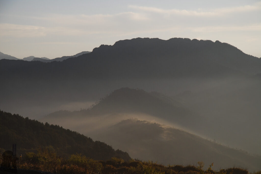
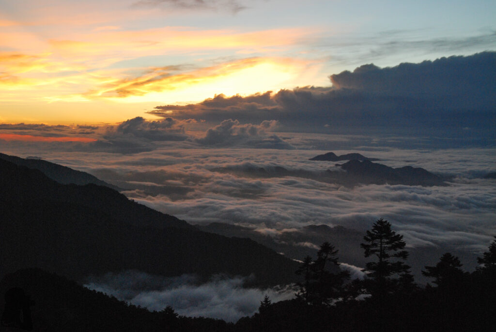
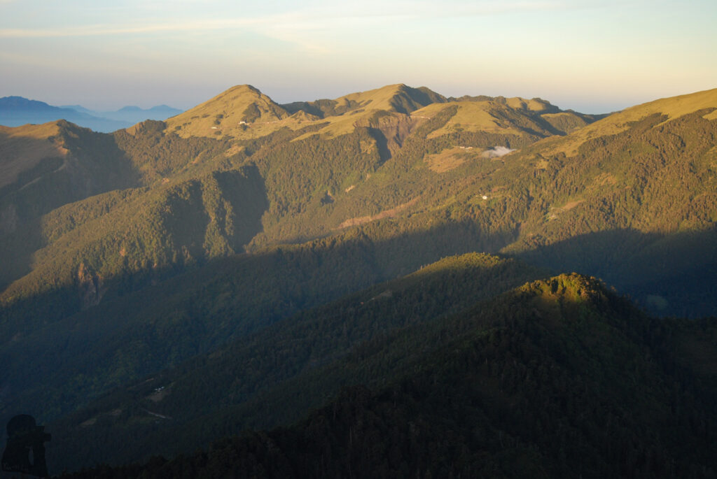
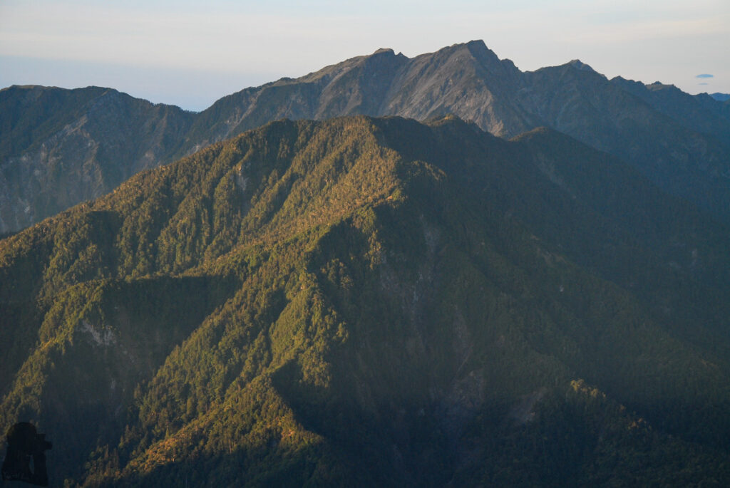
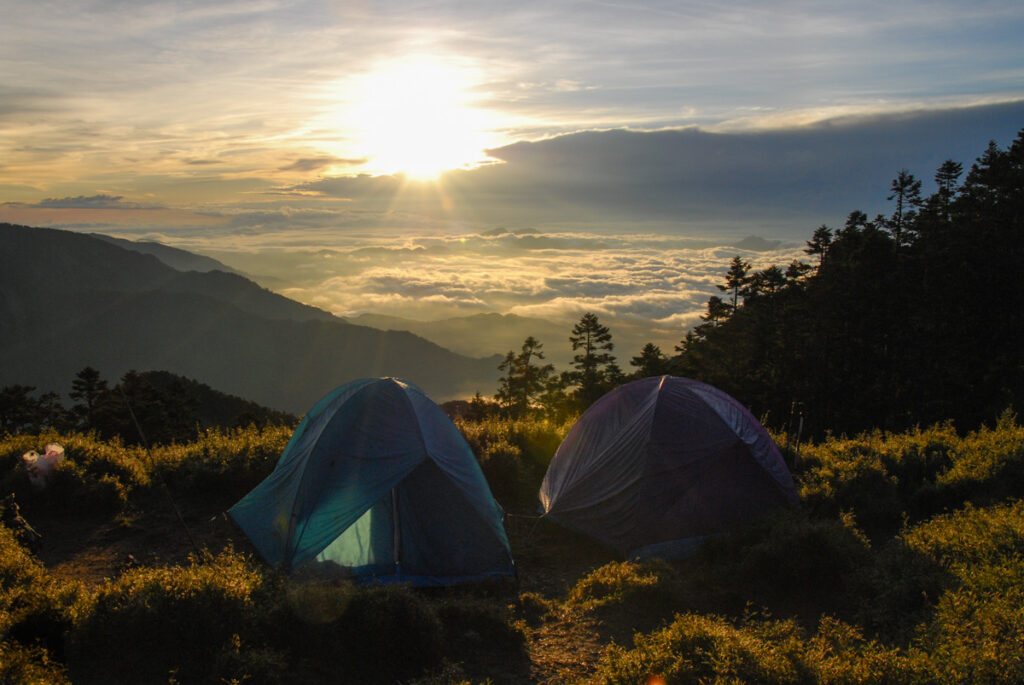
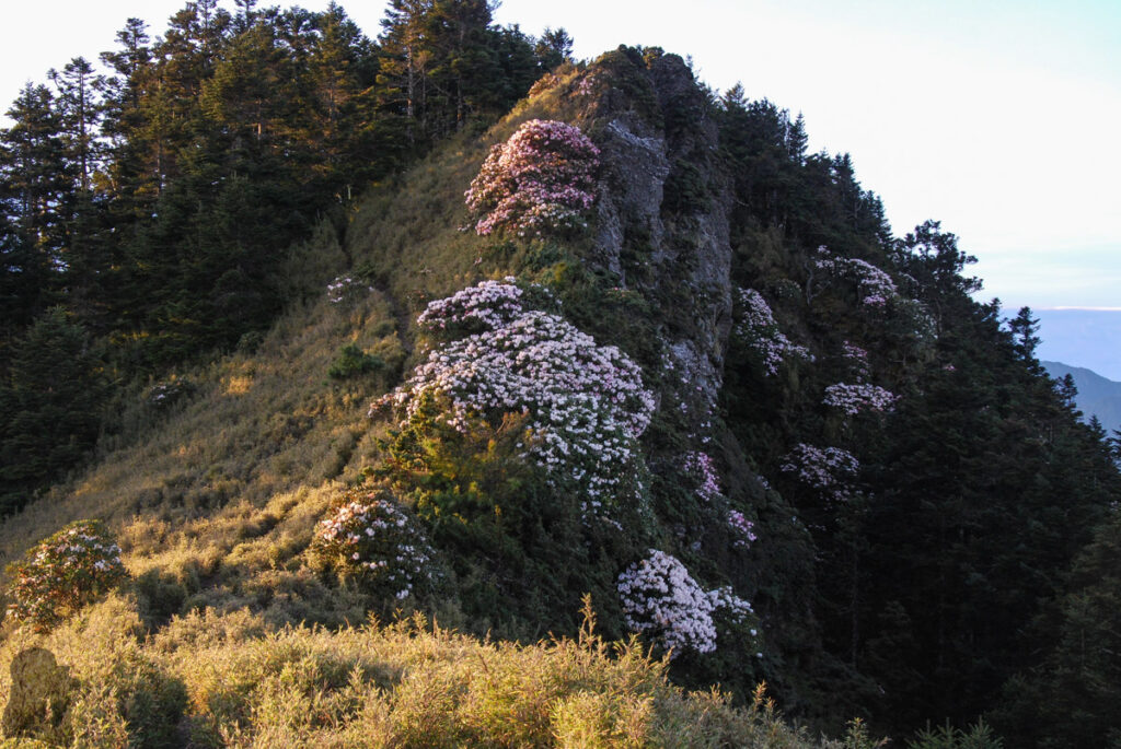
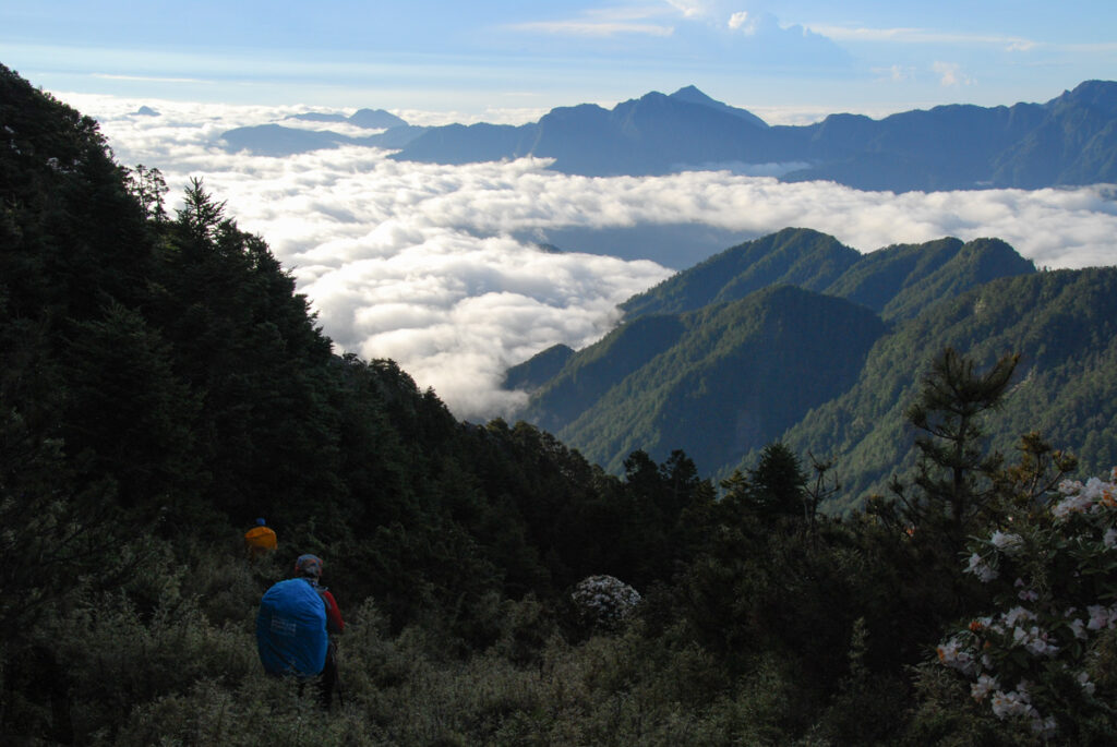
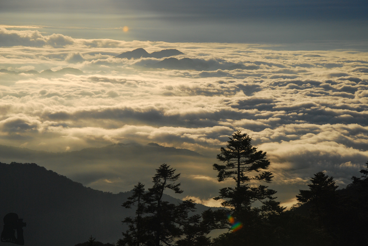
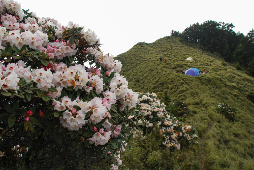
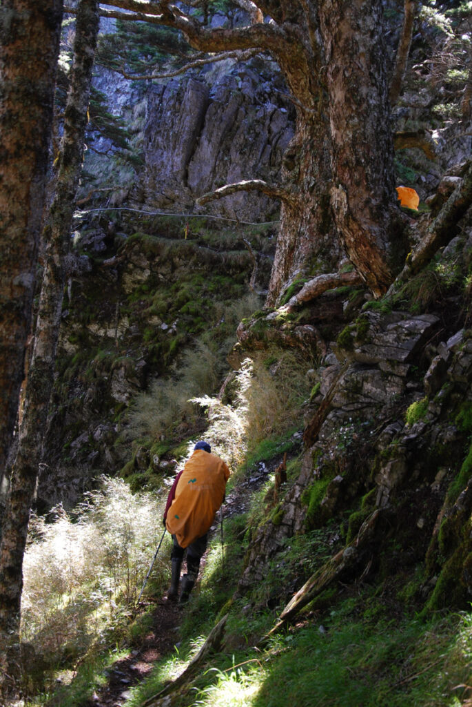
My partner and I attended a guided trip in May 2012 for this trail. This was my last hike before a new career after over one year of unemployment. The whole trip was pretty smooth with the nice weather and friendly people. When we reached the peak of Bilushan on the first day, the view was already hidden by fog; the scenery on the top of Yangtoushan seemed not very impressive either. The best view appeared in the morning at the campsite close to Bilushan and along the way toward Yangtoushan on the ridge.
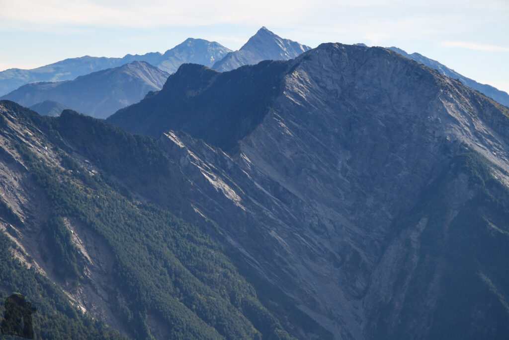
If you have been on many high mountains in Taiwan, this can be a short and enjoyable hike to identify many Baiyue peaks around.