The content on this website is published in English. I cannot guarantee the quality of the translated text generated by the plugin of this website. The machine-translated “names” and “terminology” are often inconsistent and/or incorrect. If it looks confusing, please switch back to the English version.
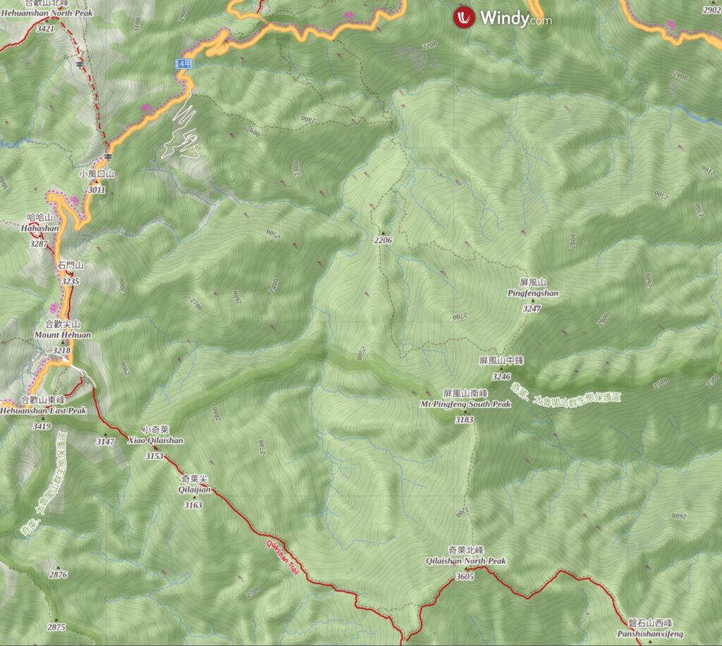
Disclaimer: Information such as the locations or the trails shown on the maps of this website might be inaccurate, misleading or out-of-date. They are only the simple illustration for the ranges of the hiking trails or the points of interest. Please prepare your own navigation device, apps, topo maps, and GPX files for hiking.
About Qilai North Face to Pingfengshan
The Difficulty Rating: ★★★★☆
Qilai North Face to Pingfengshan (奇萊北壁下屏風) is the hiking route traversing the ridge between Qilai North Peak (奇萊北峰) and Pingfengshan (屏風山). People can start the hike either from Qilaishan trail head or Pingfengshan trail head. When I was a hiking novice in 2010, it was a difficult off-trail hike which required some excellent navigation and route-finding skills to negotiate the north ridge of Qilai North Peak.
With more and more trip information, offline topo map and GPX files available in the past decade, the uncertainty and difficulty of this route were already greatly reduced. Recently Taroko National Park has added this route into their official trail list, which could be a sign showing this route is gaining more popularity, no longer that challenging.
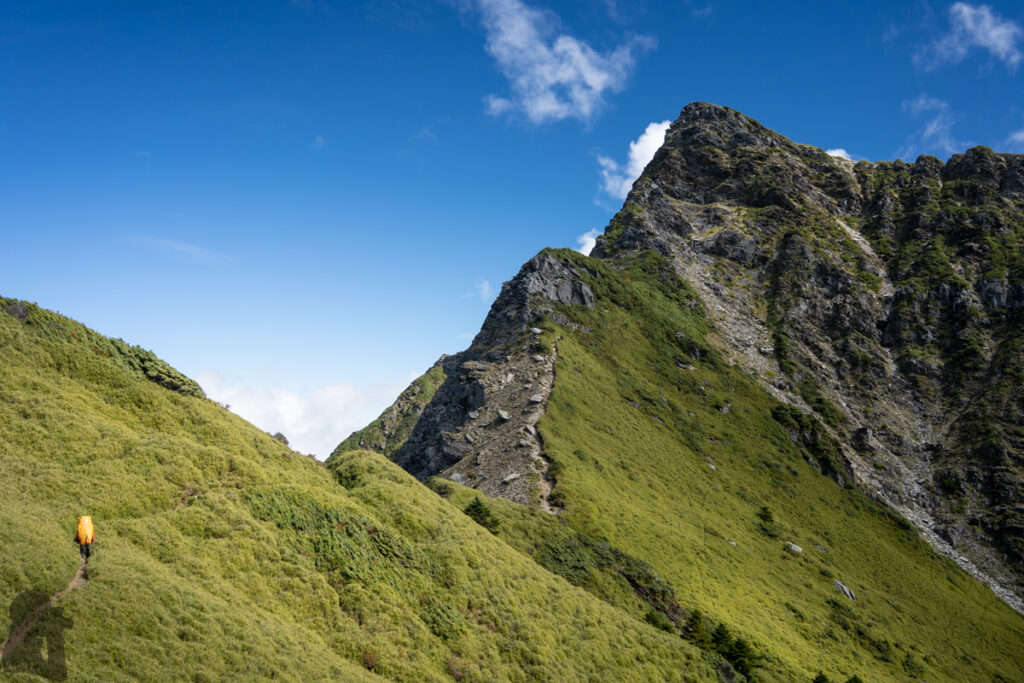
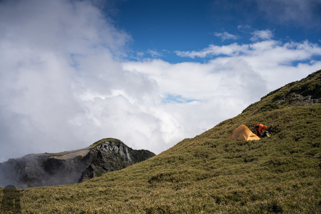
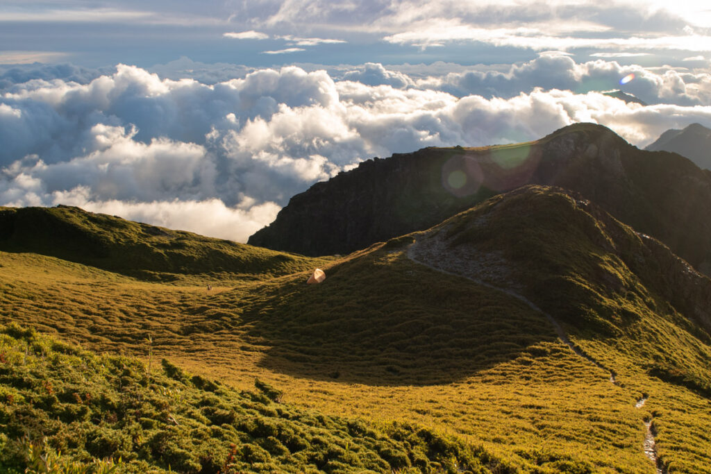
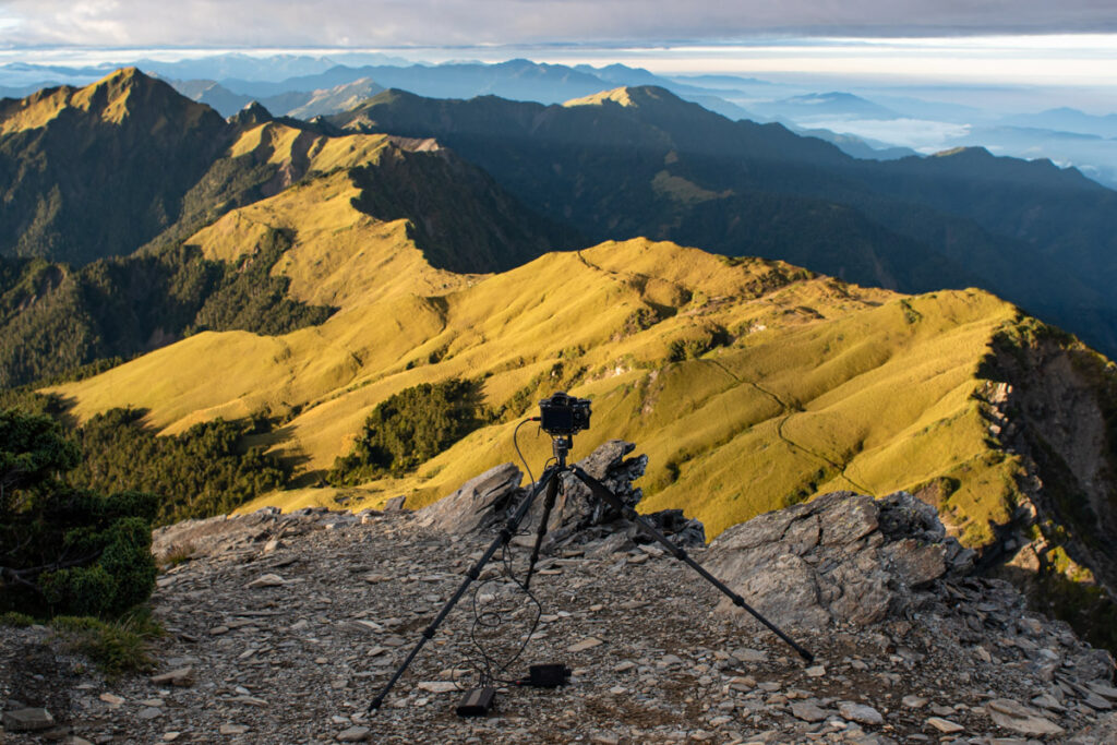
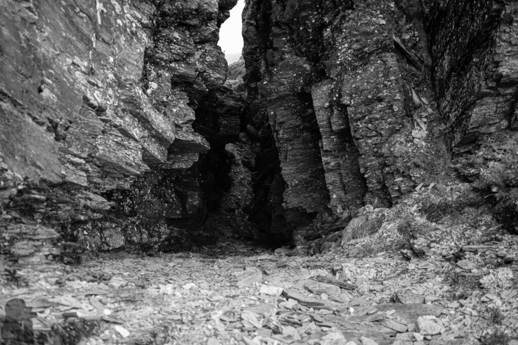
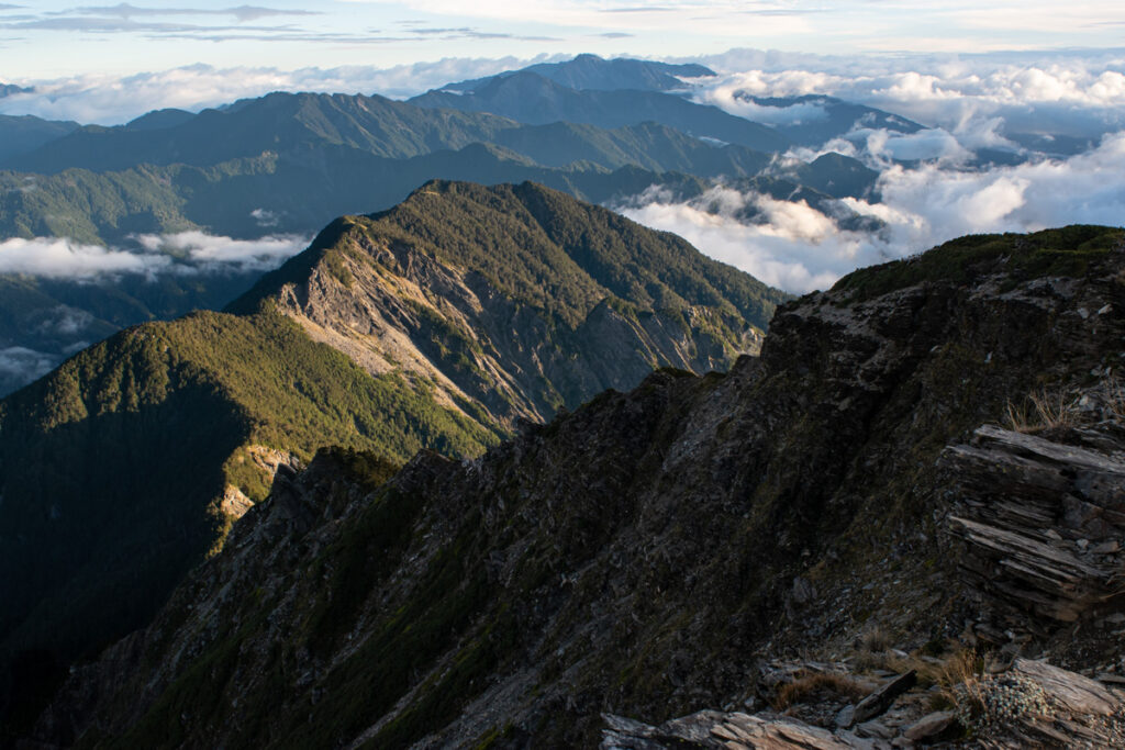
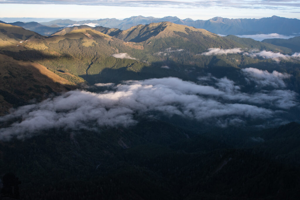
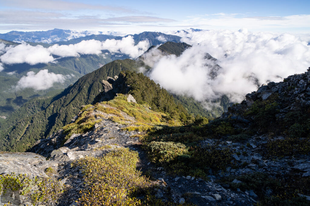
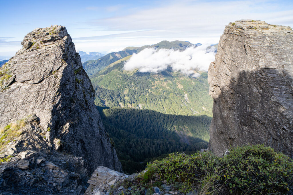
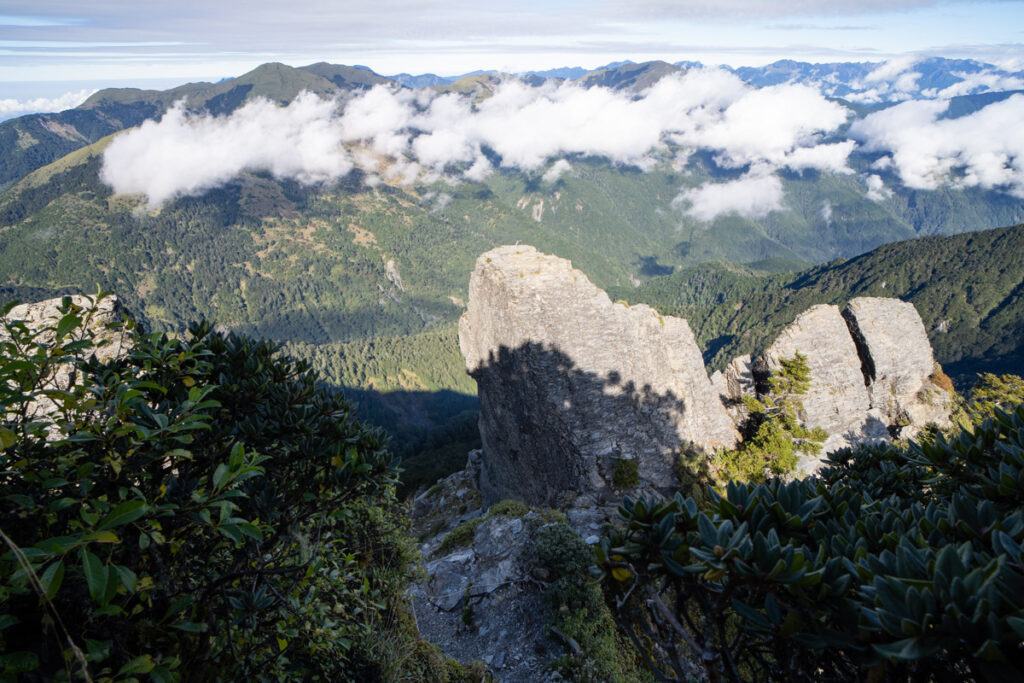
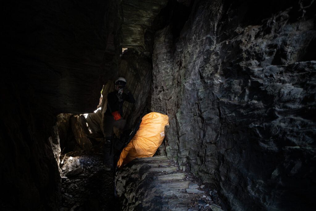
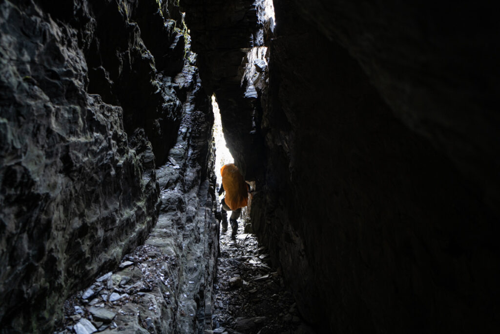
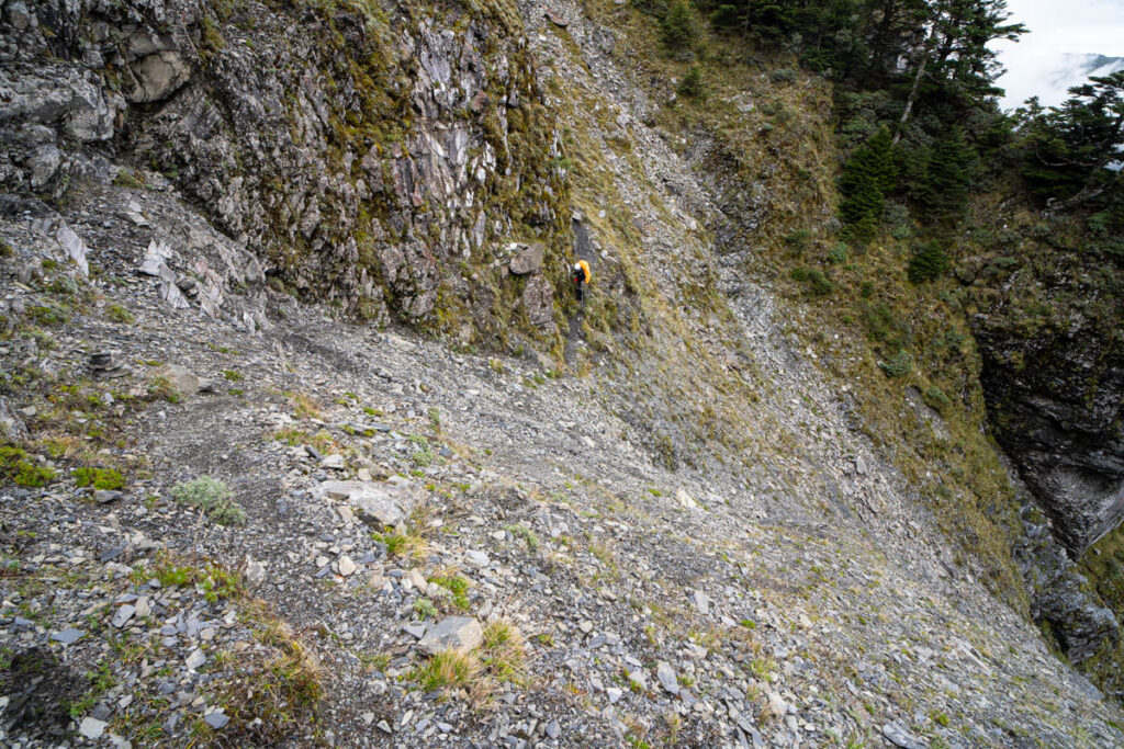
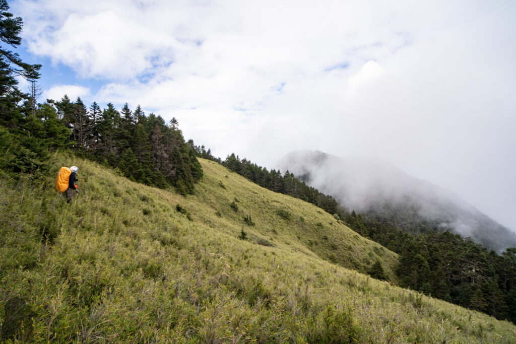
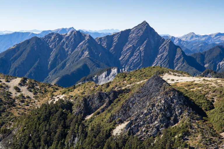
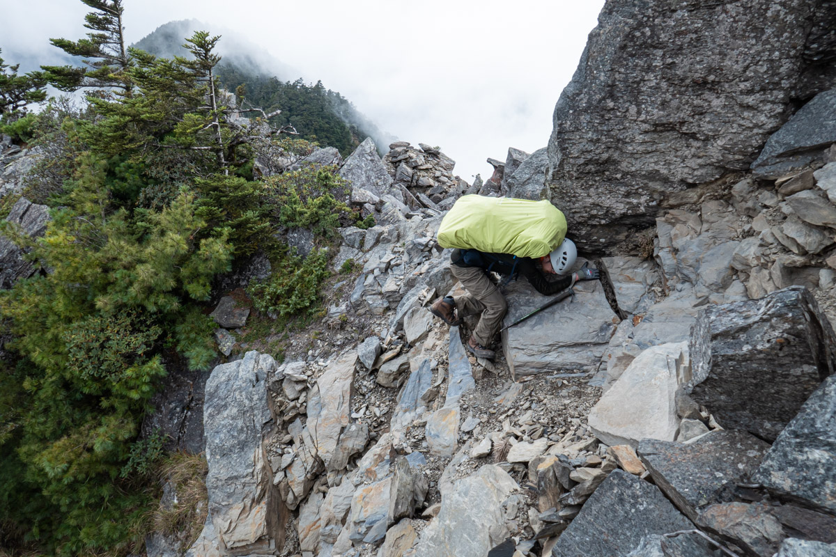
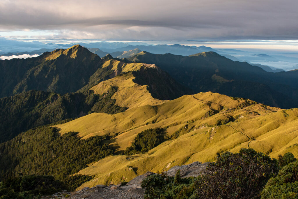
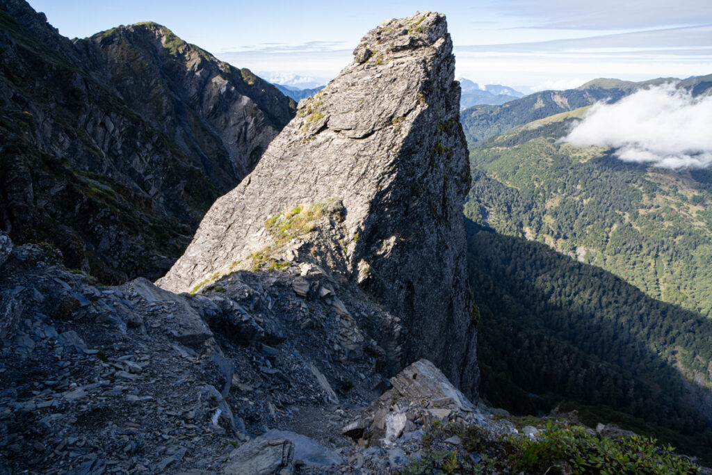
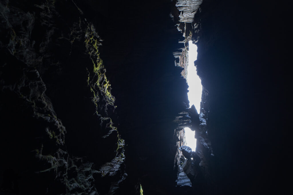
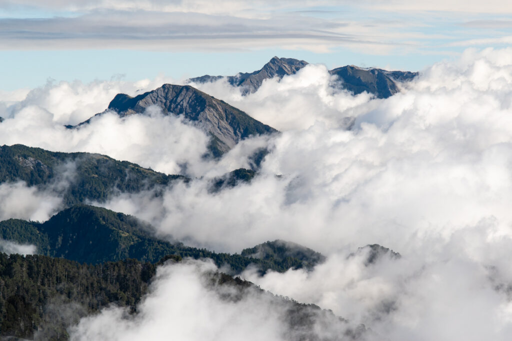
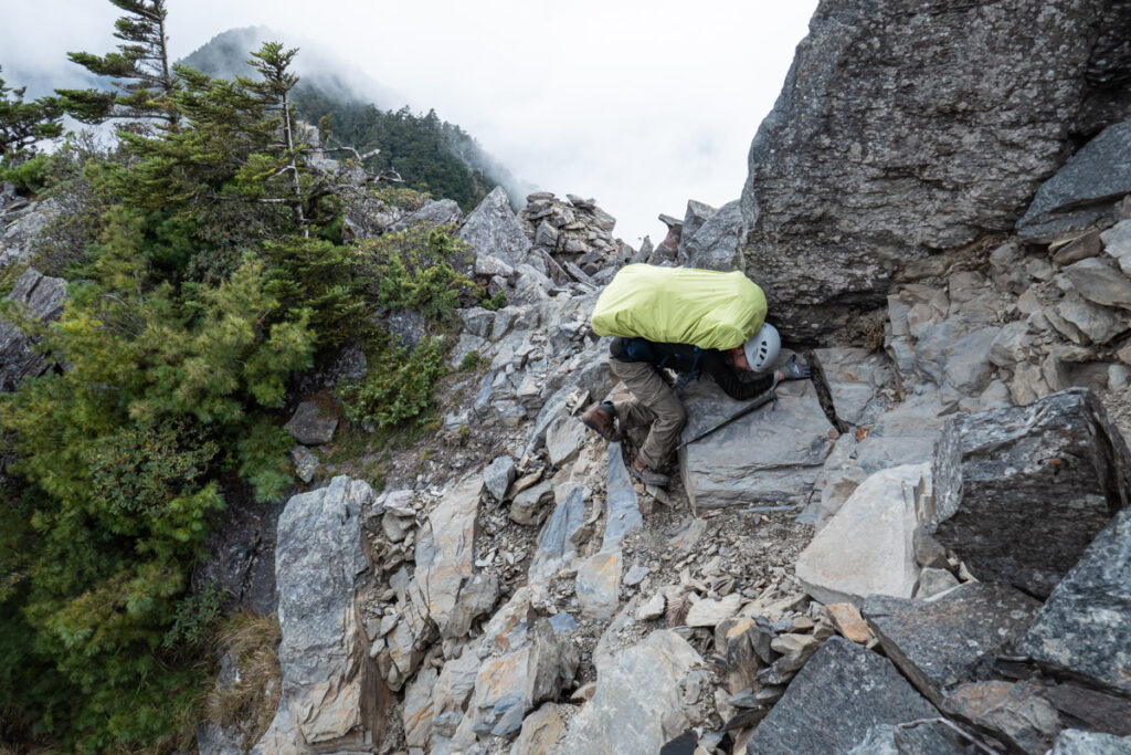
This is normally a 3-day hike. If you start from Qilaishan side, the unique highlight of this route is mainly on the ridge between Qilai North Peak and Pingfengshan on the second day. In additional to the spectacular view on this section, there are some interesting spots you will need to pass. If you have gathered enough information from some trip reports and know how to use the navigation device, the chance of going missing is low.
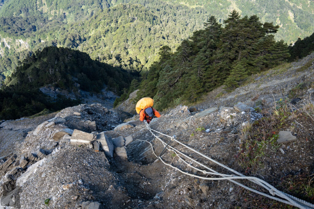
But please be cautious about the steep and exposed terrain and the possible bad weather. Once you make it to the peak of Pingfengshan, there is still a big descent for more than 1000 m before reaching Pingfong Cabin (屏風避難山屋) or the campsite nearby. So this is absolutely a long day for most of hikers.
Overall I would say this hike is much more difficult than the return trips for Qilaishan Main / North Peaks (奇萊主北) or Pingfengshan, and it is even more challenging than Qilai Range (奇萊連峰). Therefore, this is definitely not for a beginner.
My first attempt for this route was shortly after the hike on Qilaishan Main / North Peak in 2010 because of the fascinating photos from other hikers’ trip reports. I joined a guided trip but the downpour on the second day forced our team to abort the plan, even though our guide claimed it should be fine to proceed. When I was going down from the precipitous ridge, the trail became streams and mini falls. I was glad my teammates and I made the wise call.
In the next several months my ambition expanded, particularly after the trip on Qilai Range. I tried to invite anyone who might be interested and wish to hire a reliable guide, but I was turned down over and over again. Perhaps the right opportunity was not mature yet.
Twelve years passed by quickly; my partner and I returned to Taiwan after the pandemic in the autumn of 2022, and this time we eventually managed to complete this hike by ourselves. The trip was smooth under the ideal weather. We began from Qilaishan trail head and finished the hike at the trail head of Pingfengshan. While walking to the bus stop along the highway, a generous family gave us a lift all the way to Puli (埔里) and they even bought us a lunch in a restaurant. That is the heartfelt warmth you may find in Taiwan.
Click this article for a very detailed trip report for this route. Please be aware that team only took one day to finish the hike, not something feasible to many other hikers. We spent three days on this trip, which is more suitable for someone not so fit or just want to enjoy the scenery at a slower pace.
To know more about Qilaishan and the trails, please read the posts, “Qilaishan Main & North Peak”, “Qilai Range”, “Qilai East Ridge” and “Qilaishan in snow”.