The content on this website is published in English. I cannot guarantee the quality of the translated text generated by the plugin of this website. The machine-translated “names” and “terminology” are often inconsistent and/or incorrect. If it looks confusing, please switch back to the English version.

Disclaimer: Information such as the locations or the trails shown on the maps of this website might be inaccurate, misleading or out-of-date. They are only the simple illustration for the ranges of the hiking trails or the points of interest. Please prepare your own navigation device, apps, topo maps, and GPX files for hiking.
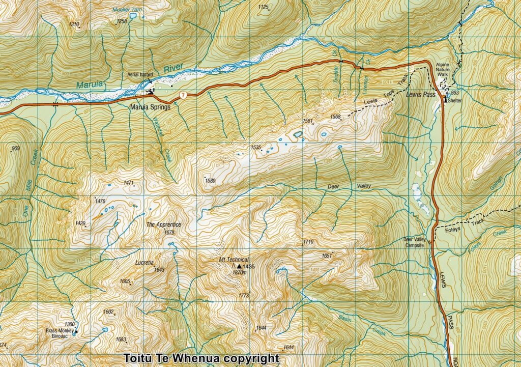
Sourced from Topo50 Map BT23 Lewis Pass. Crown Copyright Reserved
About the trip to the head of Deer Valley
The Difficulty Rating: ★★★⯪☆3.5
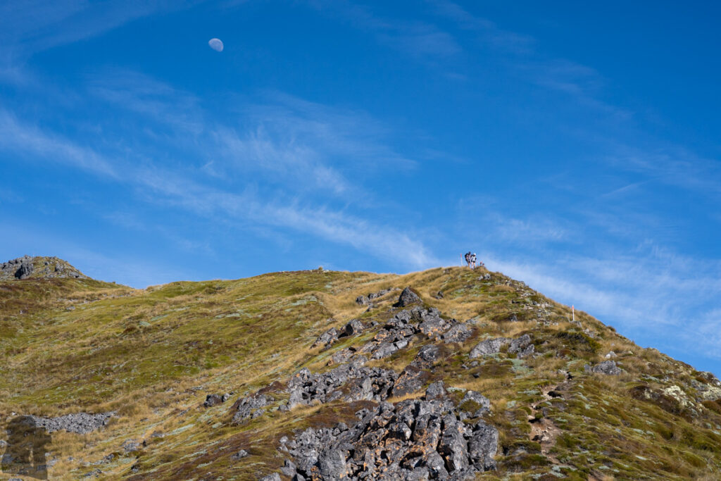
Lewis Tops Track is a popular track which starts from Lewis Pass and ends at a top of the broad ridge above SH 7, where it has a big right-angled turn. Although the further hike beyond the track is along an unmarked route on the ridge, but it appears Lewis Tops is an important passage in the area for hikers, campers or hunters, so we saw many people around during our two visits.
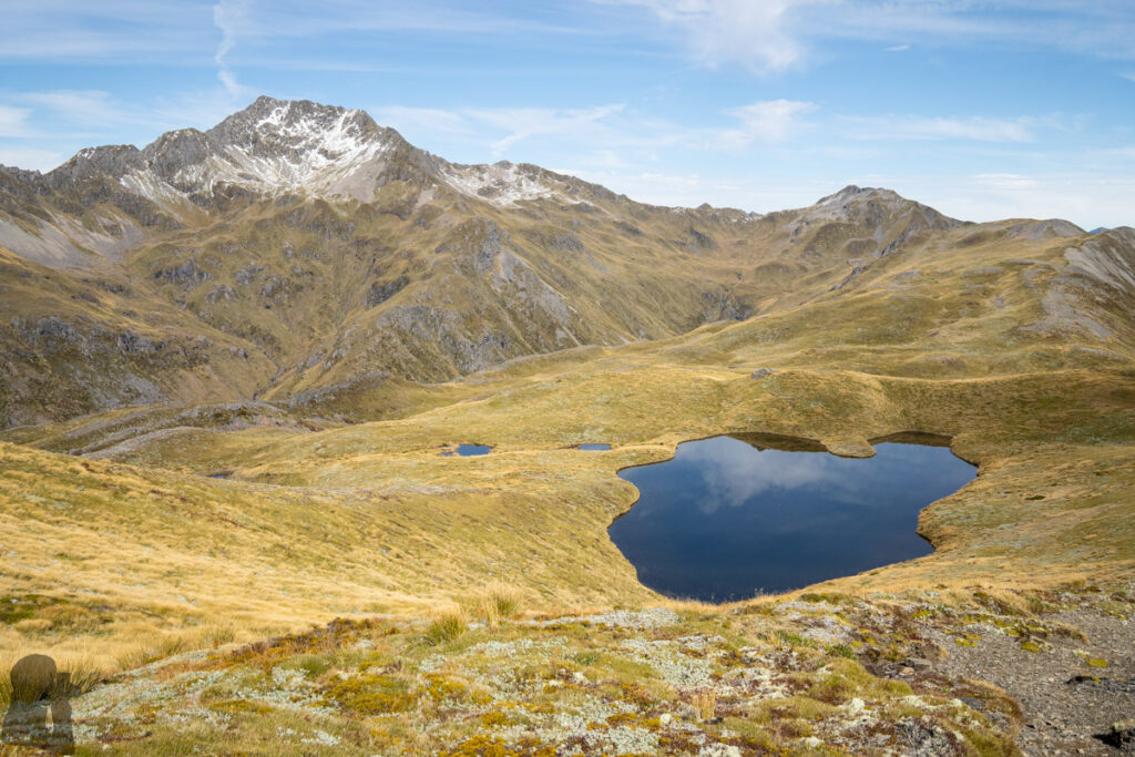
In 2017 we camped near a big tarn to the south of The Apprentice on our first trip. It was such a gorgeous place, even not our planned campsite, that we wished to be there again six years later. Please see “Camping under The Apprentice” for more photos and trip comments.
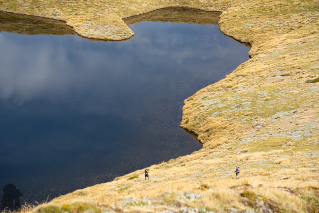
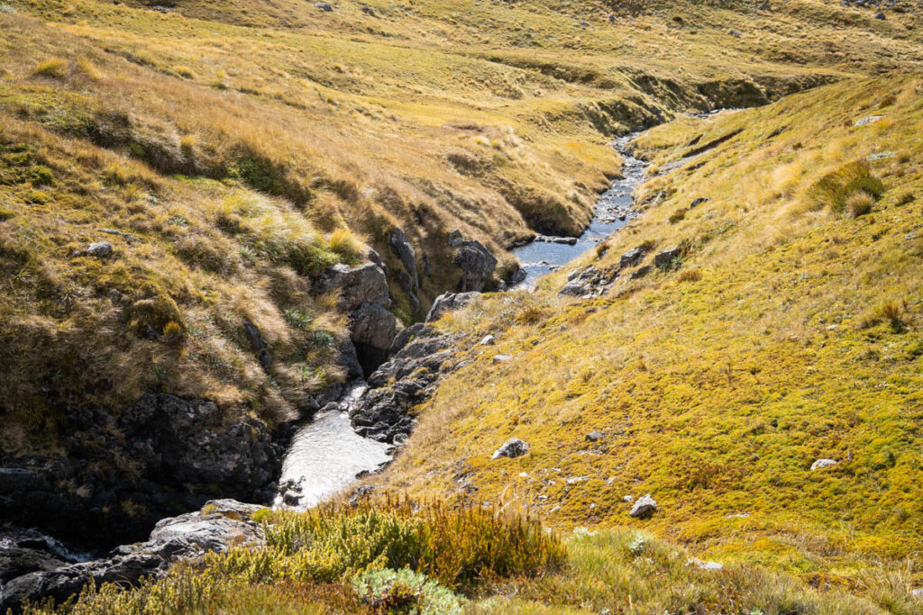
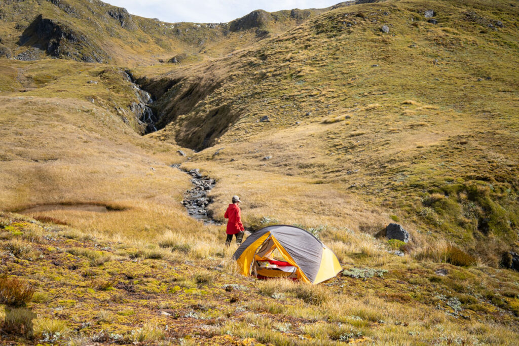
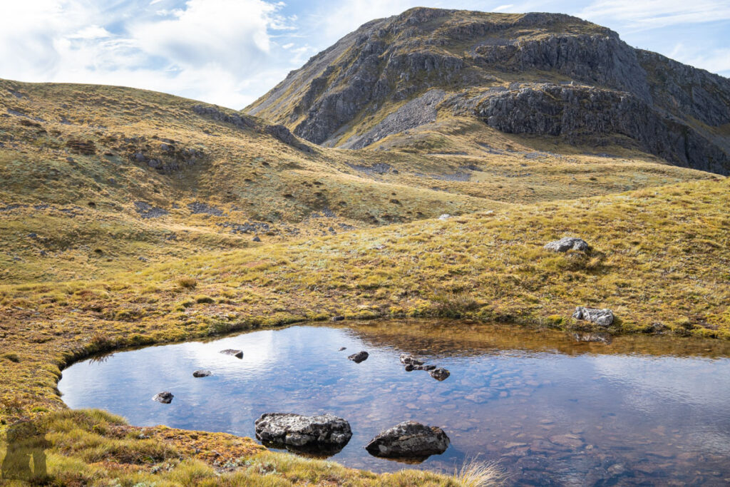
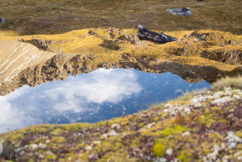
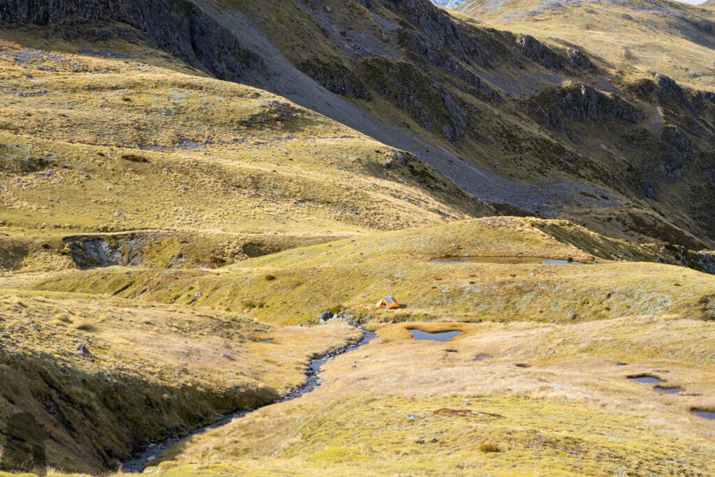
In March 2024 we visited the trail again after a blank period of hiking. Equipped with a weaker body and more camera gears, the ascent was awkward and slow. When walking down the ridge of Lewis Tops, we decided to make our life easier by not carrying on the climb toward The Apprentice. We veered toward the head of Deer Valley where many small streams and tarns filled the gentle field, a place with unlimited water supply at least. Actually I was impressed by the view of this place on the previous hike but never thought we would stay there.
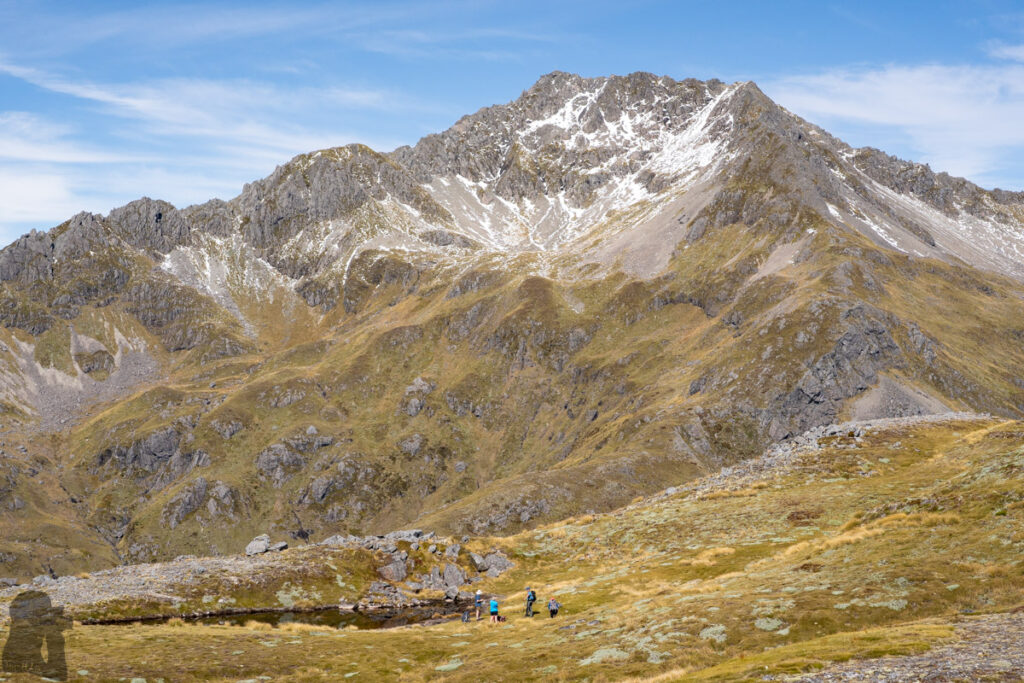
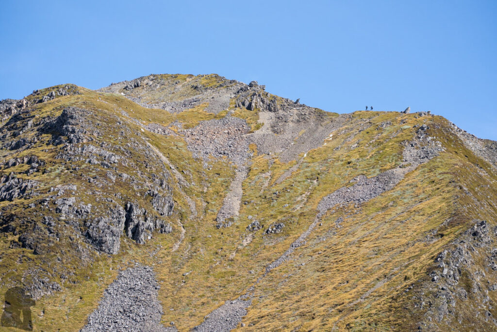
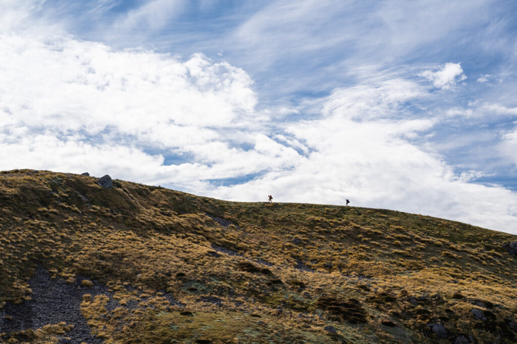
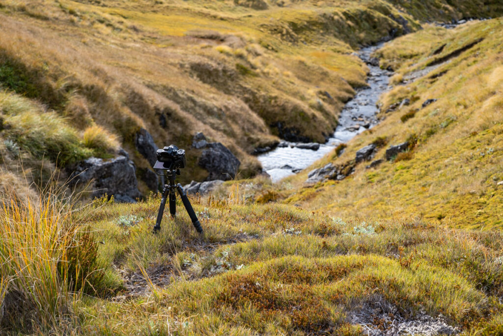
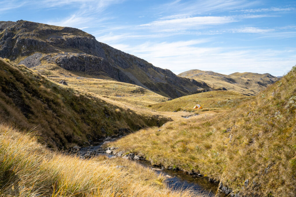
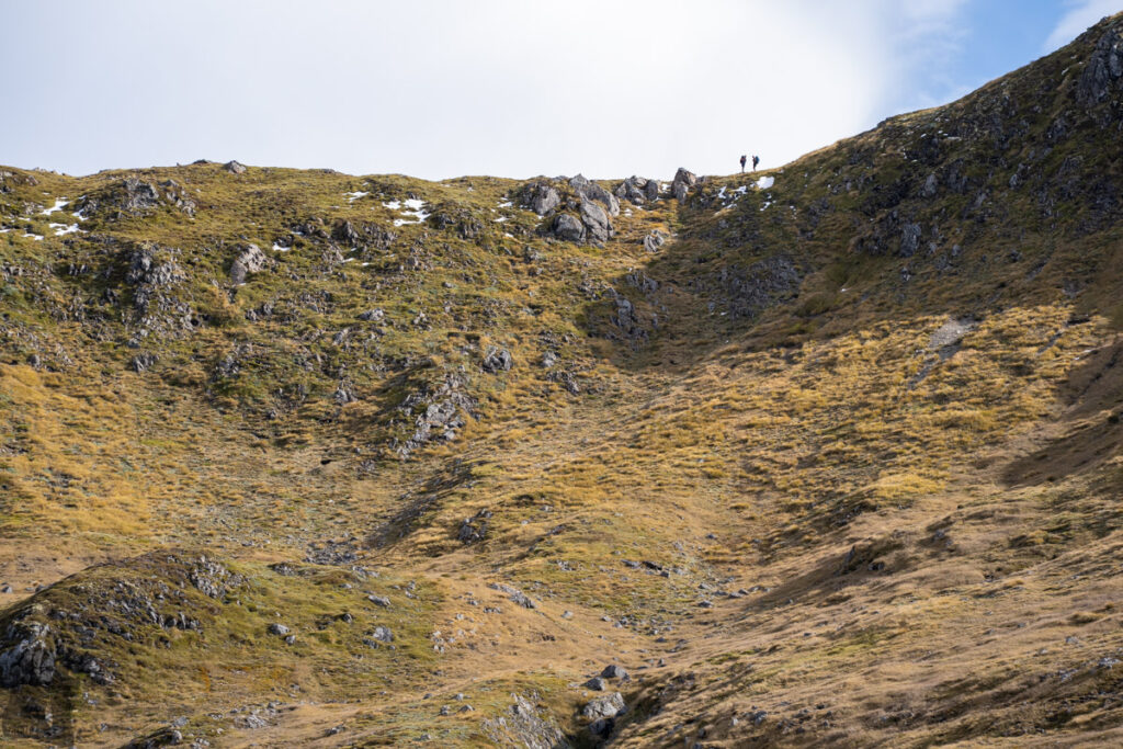
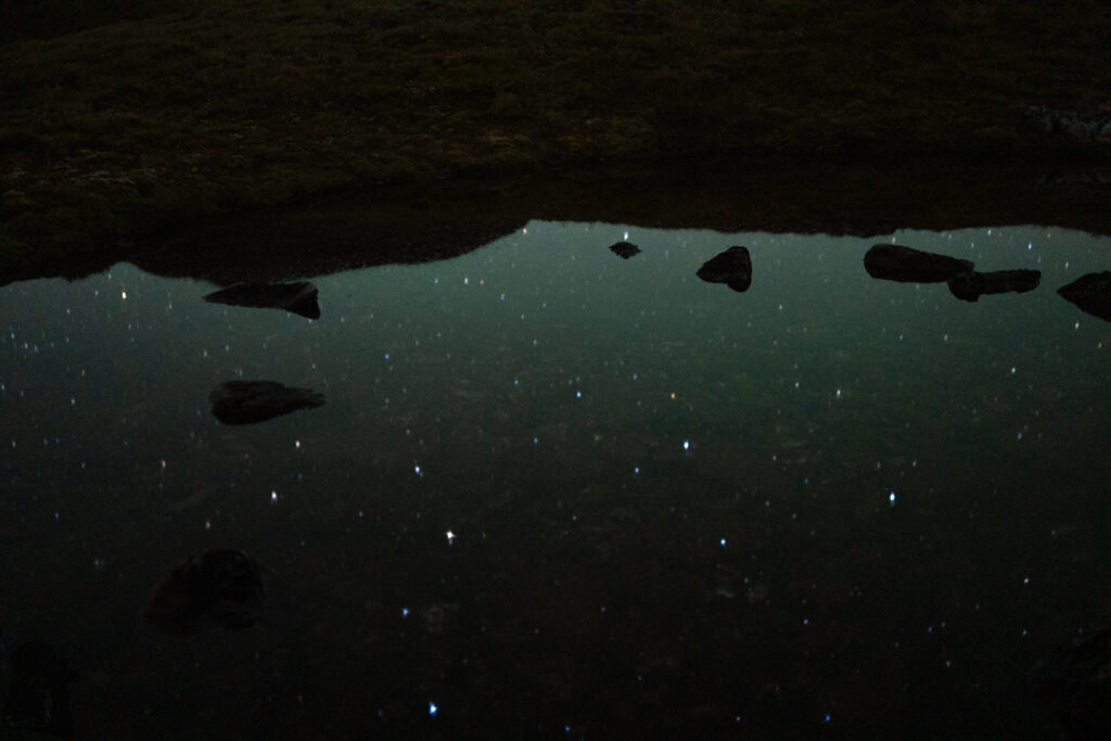
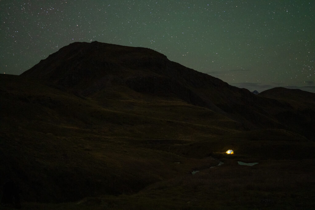
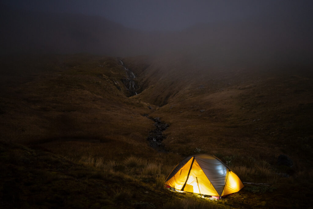
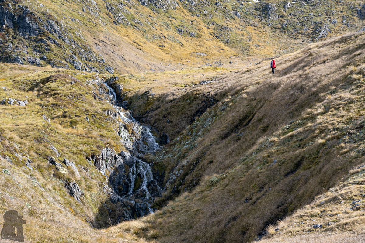
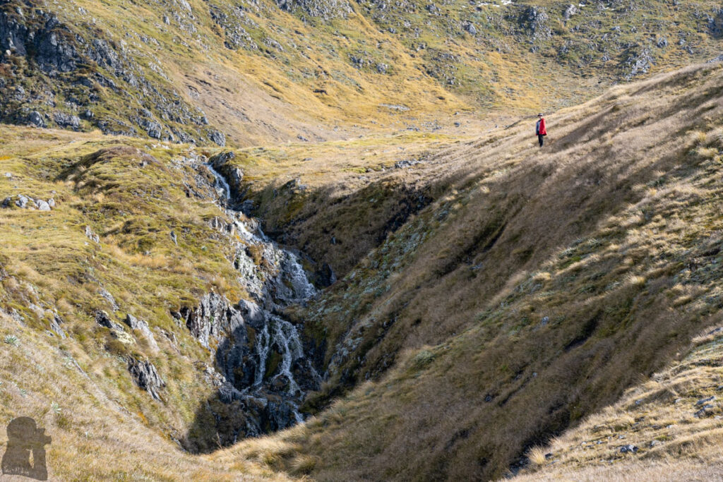
Anyway our campsite was as great as the last one. The tent was pitched closely to a hidden waterfall where could be seen only when we were in front of it. We saw some people passing by in the distance along the route we moved on our previous hike, and some of them walked down from the saddle between The Apprentice and Mt. Technical, but no one was close enough to have a look at this place. We exclusively owned this luxurious spot for the day and brought the splendid scenery home by taking pictures and time-lapse clips.
After the poled track, the route on Lewis Tops and the following section is unmarked. Although you may still see the impact trail or some cairns, but they were not always easy to follow. And camping like us is totally off-trail. Therefore, a navigation device with offline topo map is highly recommended if you intend to explore anywhere beyond the marked trail.