The content on this website is published in English. I cannot guarantee the quality of the translated text generated by the plugin of this website. The machine-translated “names” and “terminology” are often inconsistent and/or incorrect. If it looks confusing, please switch back to the English version.
Disclaimer: Information such as the locations or the trails shown on the maps of this website might be inaccurate, misleading or out-of-date. They are only the simple illustration for the ranges of the hiking trails or the points of interest. Please prepare your own navigation device, apps, topo maps, and GPX files for hiking.
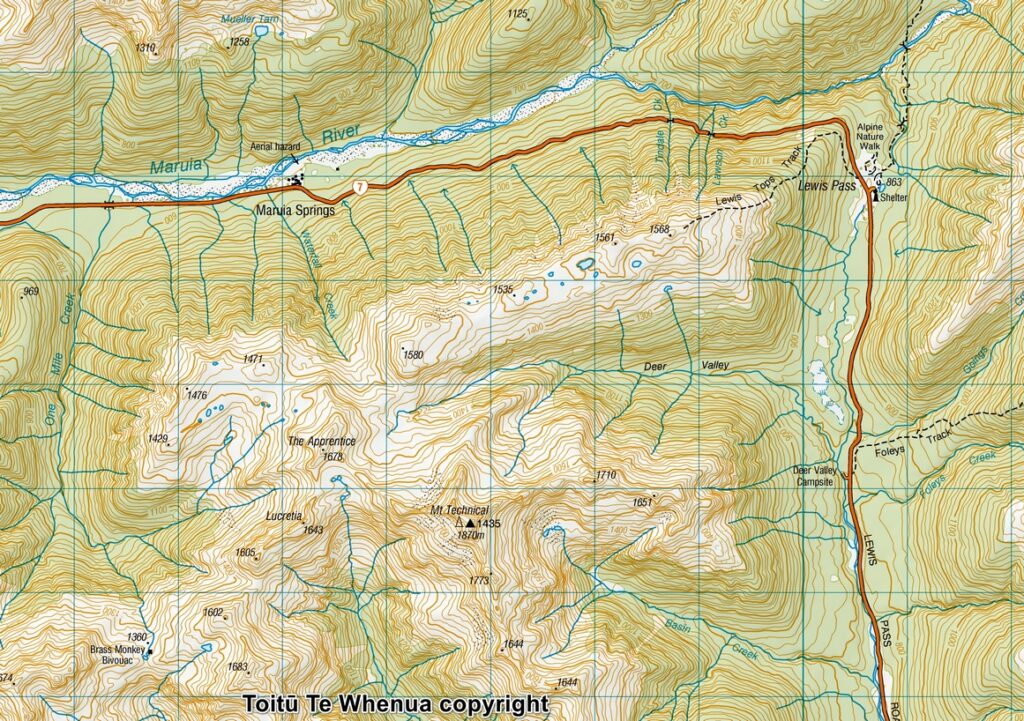
Sourced from Topo50 Map BT23 Lewis Pass. Crown Copyright Reserved
About Lewis Tops Track and beyond
The Difficulty Rating: ★★★⯪☆3.5
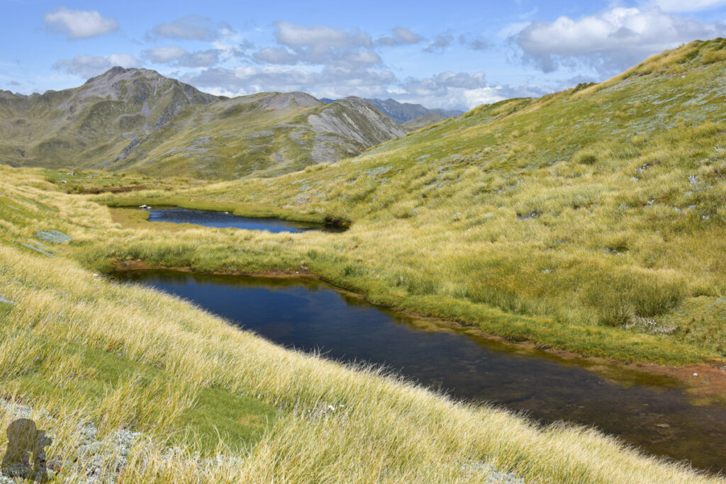
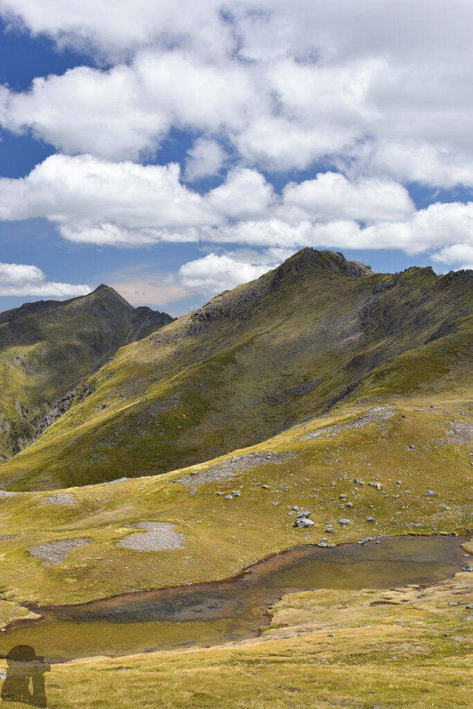
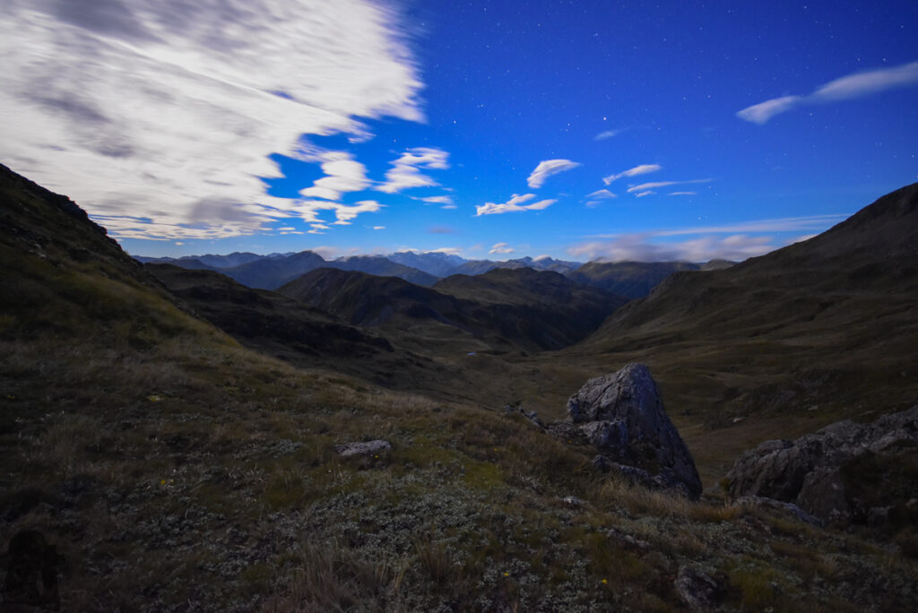
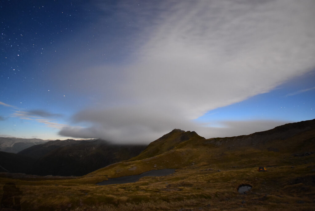
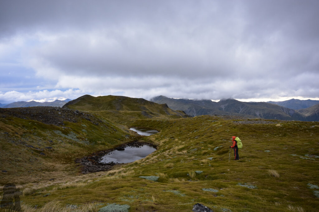
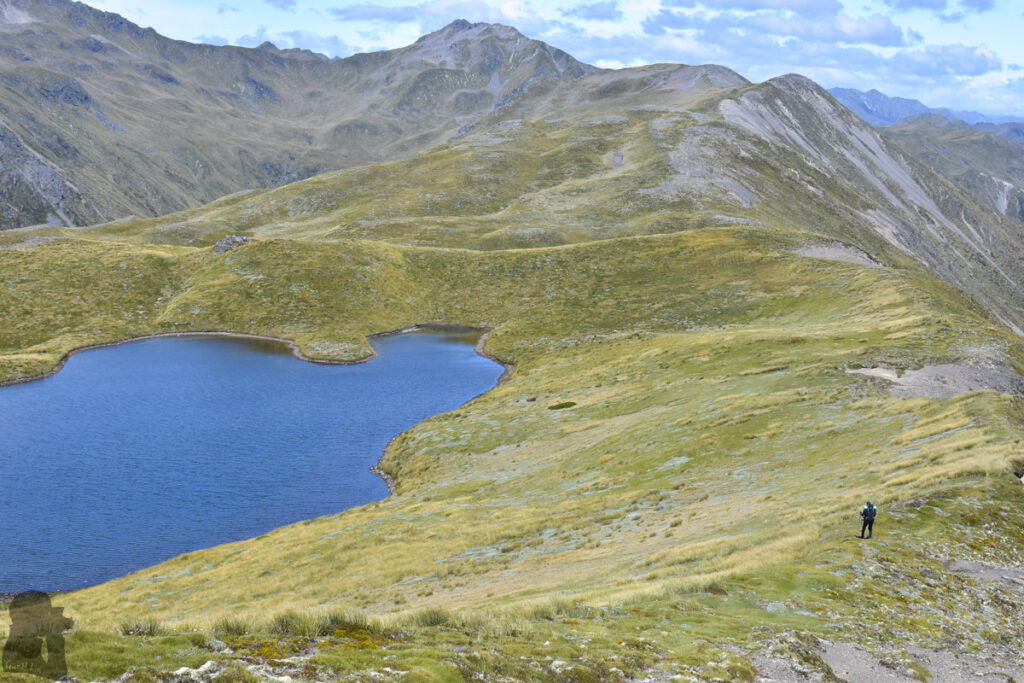
Lewis Tops Track, the trail leading to a broad ridge to the west of Lewis Pass, is an ideal hiking trail for a camping trip. Once going beyond the poled track, the ridge features several alpine tarns of various sizes. For a period of time I was keen to camp and photograph by those beautiful and quiet tarns.
This trail ticks off all the criteria for a photography hobbyist: the good view, short trail, easy access to the trail head and the flexibility to customize a hiking plan. It is not surprising that this trail is slightly busier than most of other ones that I have been in NZ. Visitors on this trail may have various purposes and destinations in the area, hunting, climbing, going to other trails or simply camping.
My partner and I visited this trail twice. This post is about the first trip in December 2017.
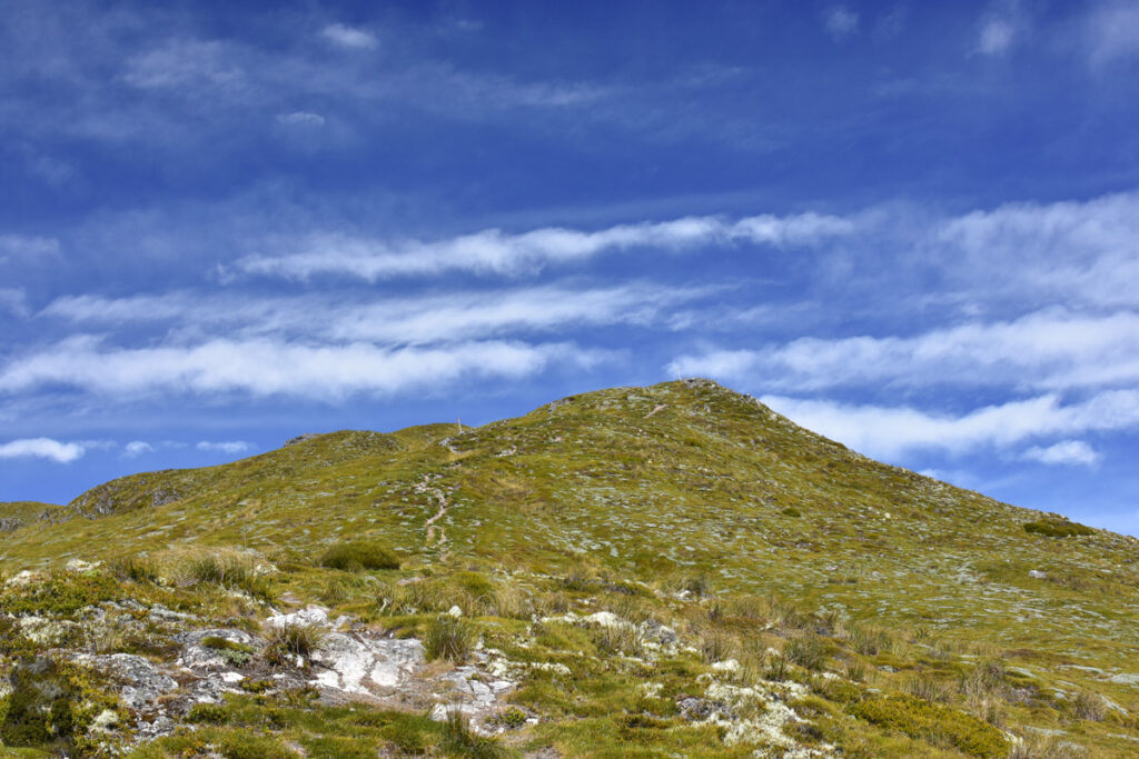
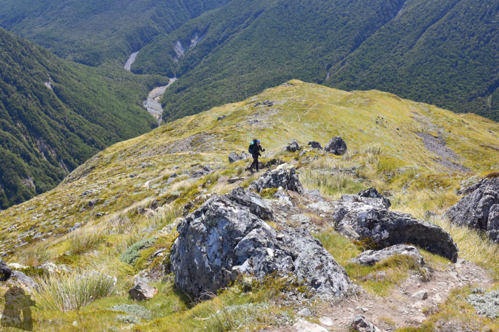
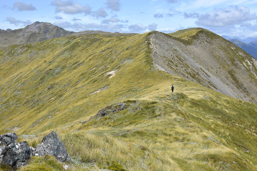
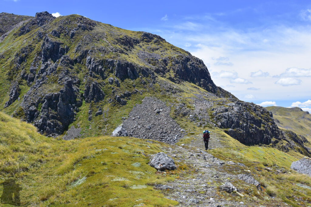
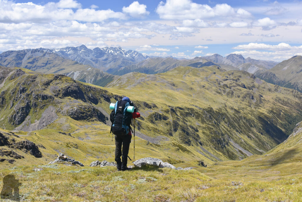
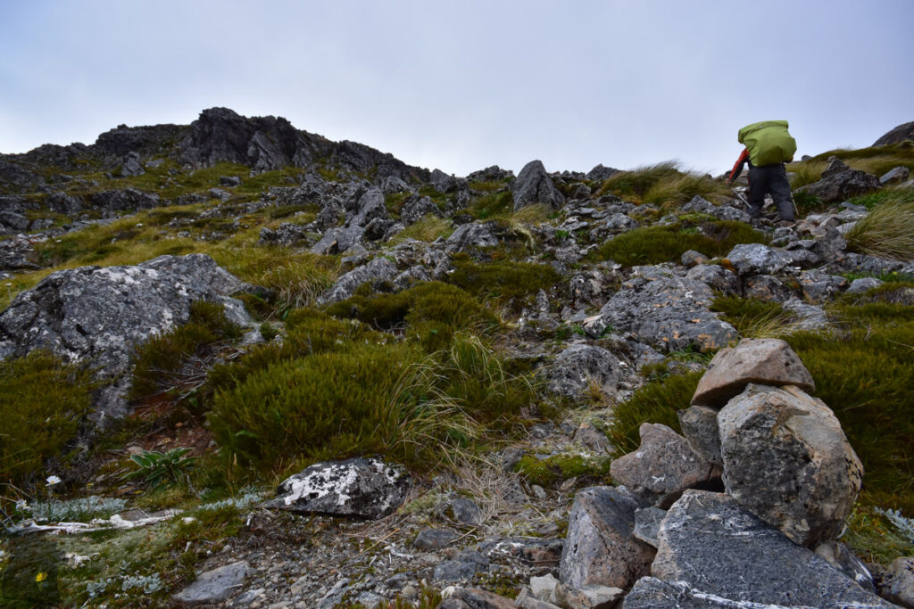
Our original plan was to stay in Brass Monkey Bivouac, far beyond Lewis Tops, for a night and return via the same way. After reading a trip report saying a group of young trampers made it there in a few hours, we thought we could do the same even we are generally slow walkers in this country. It was a steady and relatively short climb from the trail head to the end of the marked track where the gradient leveled off on the ridge. The net elevation gain is about 700 m, not too demanding. The following walk on the smooth ridge dotted with lovely alpine tarns was enjoyable.
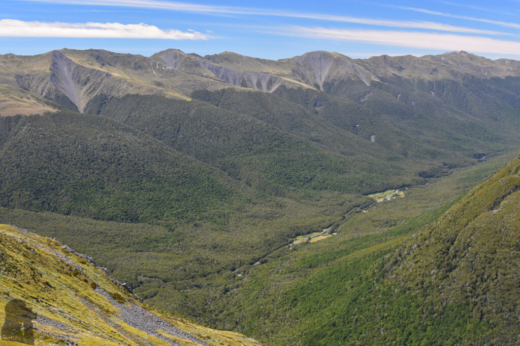
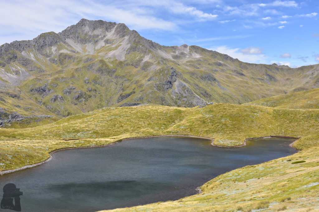
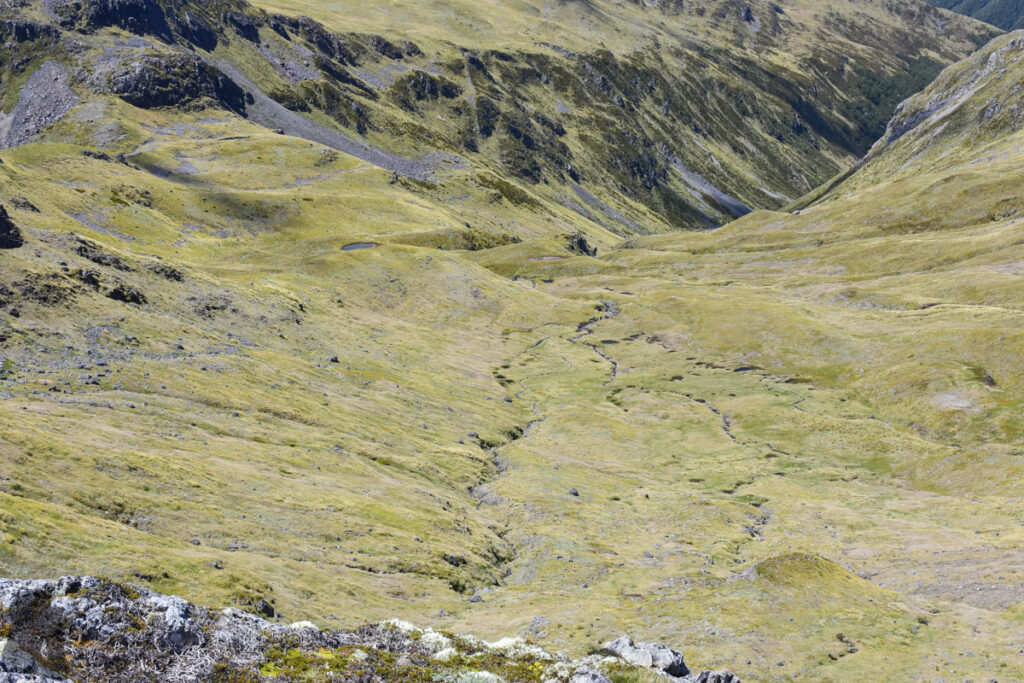
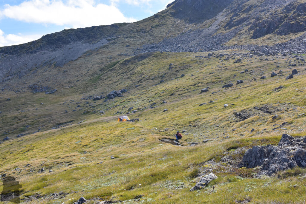
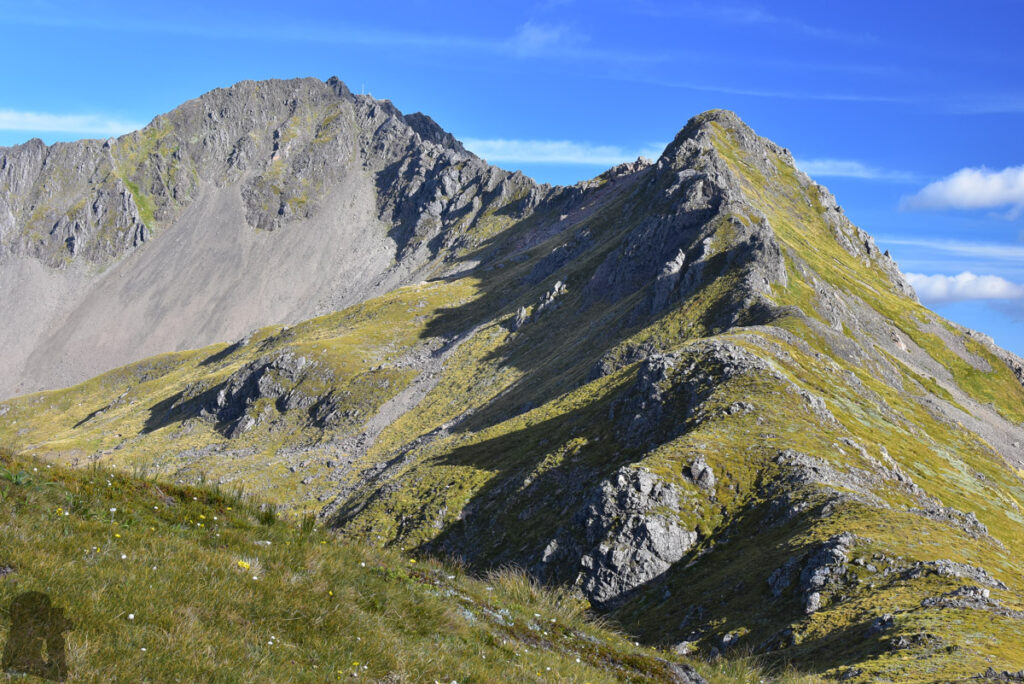
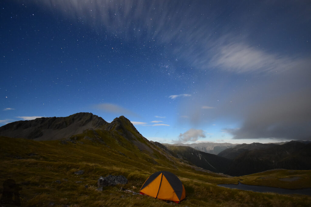
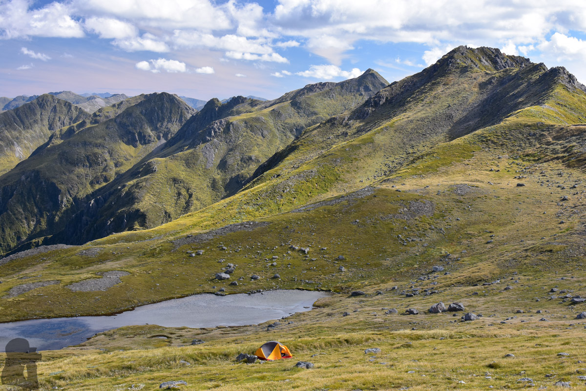
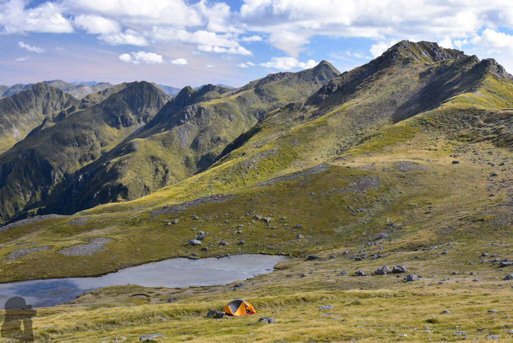
After the steep descent from Pt 1580, we walked along the head of Deer Valley before another climb to a saddle between Mt. Technical and The Apprentice. The saddle is a like boundary where one side overlooks the head of valley while the other side is the gentle terrain underneath The Apprentice and Lucretia. The big tarn on this smooth field triggered our laziness as we began to move slower and slower while it was still distant from our planned destination. We wondered how many more hours it would take to reach there.
Without much hesitation, we decided to make our current position as the new destination. We camped happily near the tarn for the night without worrying about navigation and our slow pace. It was a privilege to occupy such a beautiful place for a moment when no one else was around. The intention to visit Brass Monkey Bivouac did not matter anymore. We turned back via the same way in the next morning while the weather was getting worse.
While this post is published many years after our trip, the new Brass Monkey Hut has replaced the old bivouac in 2025. Although I do not know any update of the route to this hut, but I assume it is still for experienced hikers. Back then the impact trail or cairns only turned up from time to time after we went beyond the marked trail. If you normally hike at a slow pace with heavy backpacks (like us), it is necessary to bring a tent and navigation device.
We hiked on Lewis Tops Track again six years later. We camped at the head of Deer Valley this time. It was actually another hike deviated from the plan, but life always rewarded us in some way. The photos and trip notes are in “Camping in the head of Deer Valley”.