
The content on this website is published in English. I cannot guarantee the quality of the translated text generated by the plugin of this website. The machine-translated “names” and “terminology” are often inconsistent and/or incorrect. If it looks confusing, please switch back to the English version.
Disclaimer: Information such as the locations or the trails shown on the maps of this website might be inaccurate, misleading or out-of-date. They are only the simple illustration for the ranges of the hiking trails or the points of interest. Please prepare your own navigation device, apps, topo maps, and GPX files for hiking.
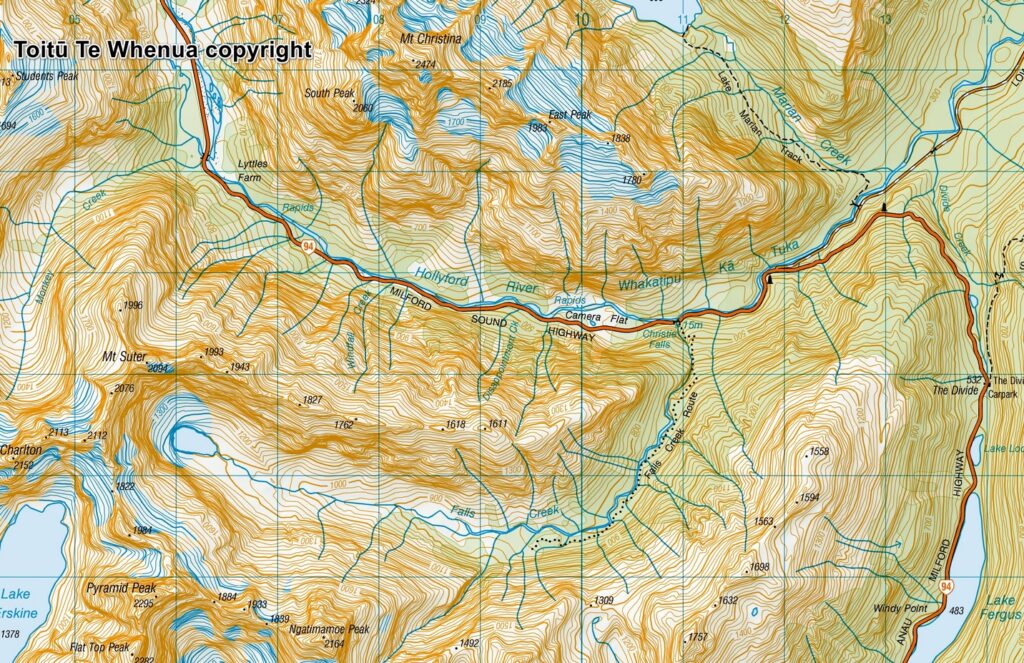
Sourced from Topo50 Map CB09 Hollyford. Crown Copyright Reserved
About Falls Creek Route
The Difficulty Rating: ★★★★★
Falls Creek Route is one of the several hiking trails along SH 94 between The Divide and Milford Sound. This trail got my attention because it “seemed” short and straightforward and the trail head is just by the highway. According to the topo map it looked I could go further upstream in the valley beyond the trail until reaching a terminal lake fed by an unnamed glacier (or a permanent ice field). “It must be a beautiful lake!”, that was the guess in my mind.
As a cautious solo hiker, I always did some research before each hike. Based on the size of DOC sign by the road, its proximity to Christie Falls and the contour lines this trail passes, I expected that the hike to that lake would not be too challenging, may be just a little bit more difficult than the nearest trail, Lake Marian Track. But strangely, the trip reports I could find were few and far between for some reason (it is still scarce after nearly 10 years).
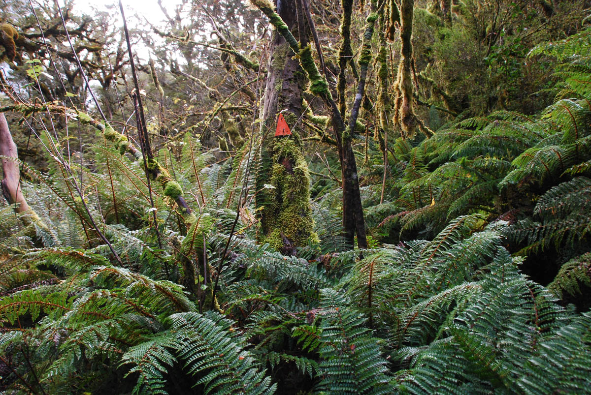
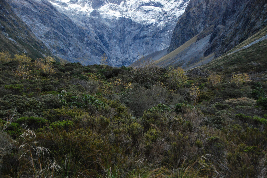
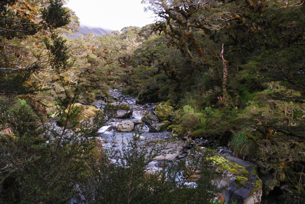
In May 2017 I had a two-day hike on this trail. The first section passing the falls was slippery and steep, but it was reasonably hard as that the typical trail condition in Taiwan. But soon beyond the falls, I realized my expectation was very wrong and my homework did not help much. It was literally an off-trail bushwhacking. The “trail”, if that can be called a trail, was hard to follow and the markers, DOC orange triangles, were often hidden behind lush plants. I needed to scramble up and down, left and right, for many times to spot any trace of the trail or the next marker, which made the move very slow.
Eventually I walked out of the wood and into a swampy area where I started feeling damp and cold. As I no longer saw any orange triangles, so I guess that was the end of the route. But what stood in my way was the dense bush extending a few hundreds meters in the front. Being reluctant to push through the bush anymore I found a place not too boggy to pitch my tent.
Though I could get up very early in the next morning and try to reach the upper valley where the terminal lake is located, but considering the uncertainty and the time to return to my car plus the long drive back to Dunedin on the same day, it would be wise to just leave this jungle. Since this attempt, I have not had any motive to complete this adventure.
Although my GPS kept me on the generally correct course but the marker-tracking slowed me down considerably. If there were more eyes to search the markers, the move would be more efficient. One day if I really get the determination to fulfill this old wish, I would choose the season with longer daylight and be prepared to sacrifice my pants to the bush.
You may want to check the following links for more trail information:
https://www.doc.govt.nz/parks-and-recreation/places-to-go/fiordland/places/fiordland-national-park/things-to-do/tracks/falls-creek-route/
https://nzhikes.co.nz/falls-creek/
https://nzhikes.co.nz/the-sad-glacier-part-two-falls-creek/
https://www.wildernessmag.co.nz/trip/falls-creek-fiordland-national-park/?srsltid=AfmBOoojct63eM5dAbUjsG3RAOE534ohT_BrWap6gweb8b1QcYkFDbRD

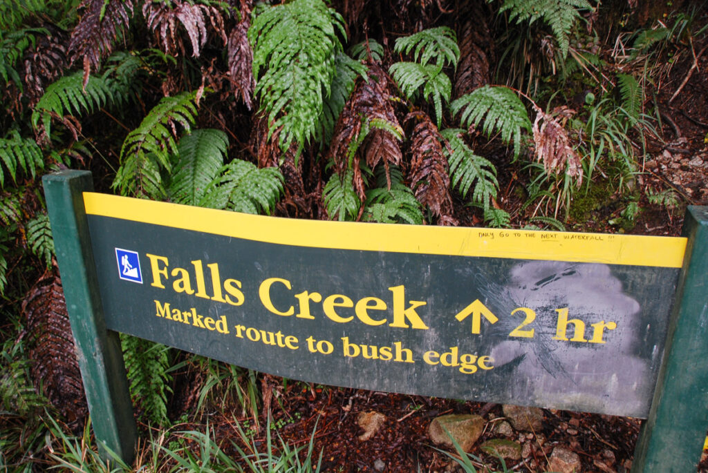
When I checked the Google Map in 2026, apparently DOC has erected a new sign. I hope the information is more accurate now.






