The content on this website is published in English. I cannot guarantee the quality of the translated text generated by the plugin of this website. The machine-translated “names” and “terminology” are often inconsistent and/or incorrect. If it looks confusing, please switch back to the English version.

Disclaimer: Information such as the locations or the trails shown on the maps of this website might be inaccurate, misleading or out-of-date. They are only the simple illustration for the ranges of the hiking trails or the points of interest. Please prepare your own navigation device, apps, topo maps, and GPX files for hiking.
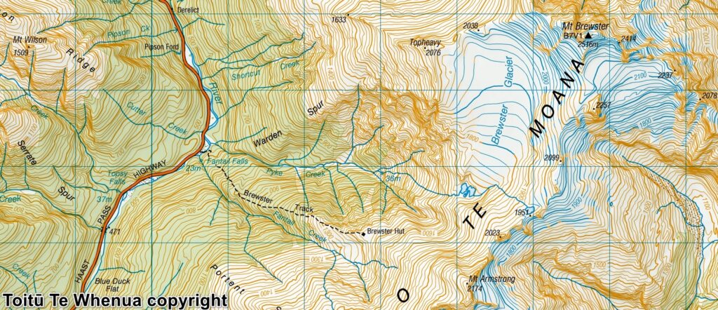
Sourced from Topo50 Map BZ13 Haast Pass / Tioripatea. Crown Copyright Reserved
About Brewster Glacier and the lakes
The Difficulty Rating: ★★★★☆
Brewster Glacier is one the most accessible and probably also the most studied glaciers in NZ.
Glaciers are gorgeous and mysterious for me, something I could only image and watch on TV and internet before I lived in NZ. For a period of time I was keen to have a walk on a glacier with my own capability. So a guided trip such as a heli-hike on Fox Glacier I had with my families did not satisfy my desire.
When I searched for any trails that I might have an access to a glacier, Brewster Track became my top choice in this regard. The trail head is by Highway 6, several kilometers from Haast Pass, not at a very remote location. The hike to Brewster Hut is straightforward and short. The only uncertainty is the traverse between the hut and the glacier because it is an unmarked route.
In 2017 I hiked on Brewster Track twice. I reached the edge of the terminal lakes of Brewster Glacier on my first trip, but I did not go further. In the second summer of the same year my attempt to camp underneath the glacier was shattered by an embarrassing event. We only ended up camping somewhere above the hut. You can click to the post, “Brewster Hut / Mt. Armstrong”, to find these photos and trip comments.
Almost three years later I finally had another chance to fulfill my goal. In January 2020 I started the hike well before the dawn in the dark because the hard lessen I learned on the previous hike. So I would avoid hiking as much as possible under the harsh sunshine this time. I arrived the hut so early that a few people there, just about to leave, thought that I was a super fast hiker.
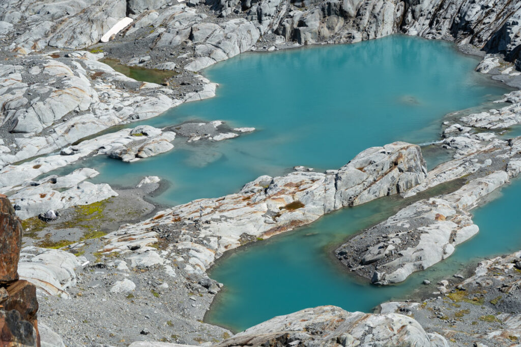
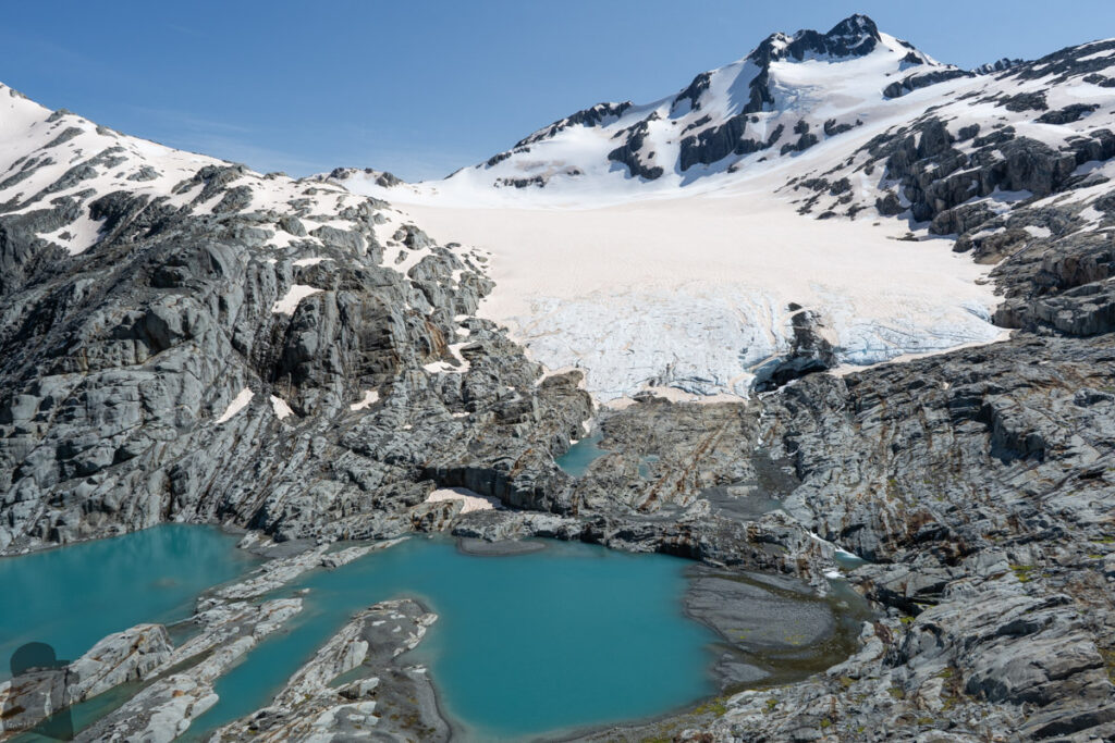
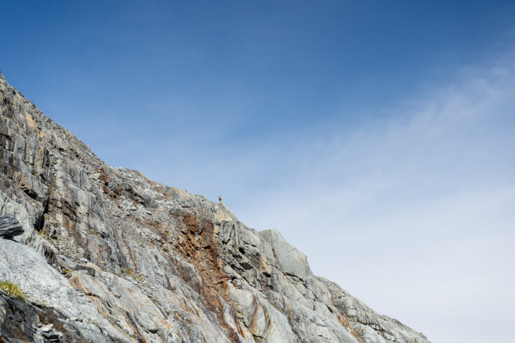
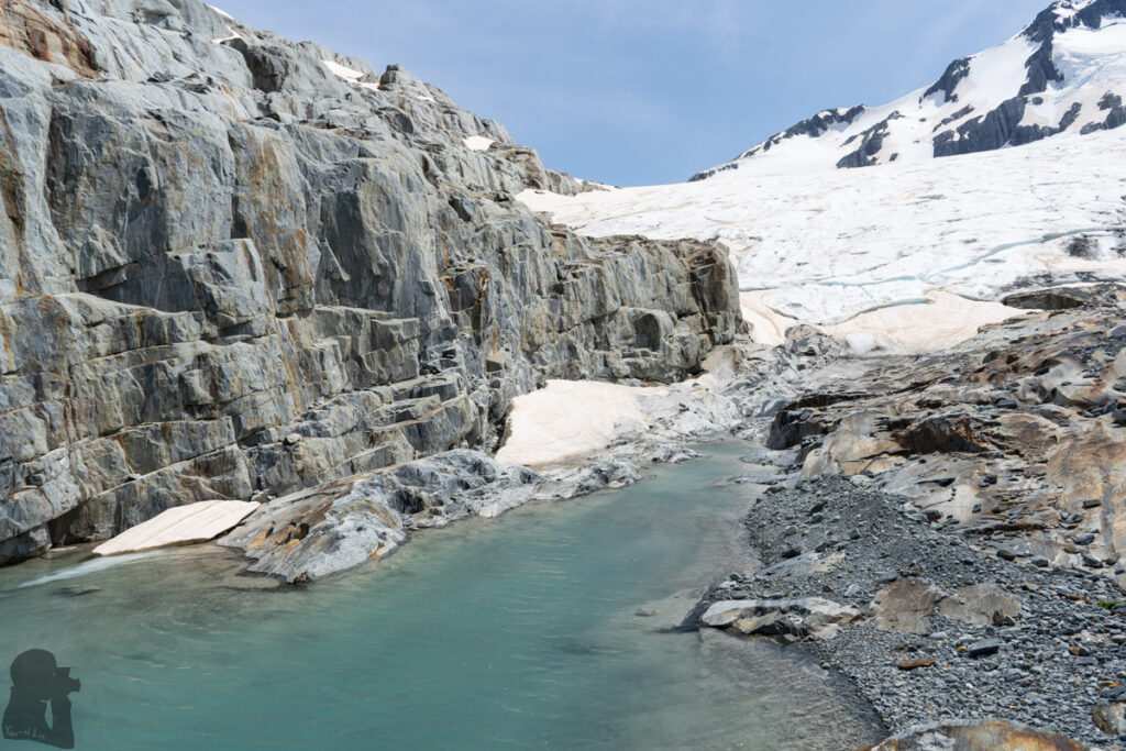
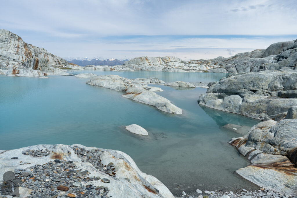
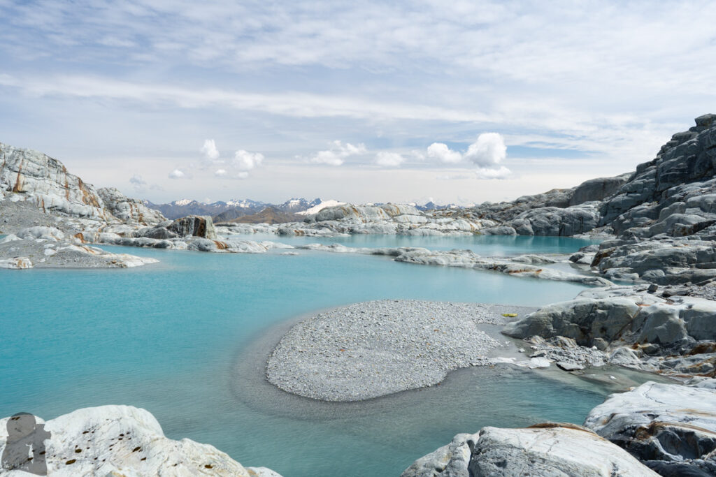
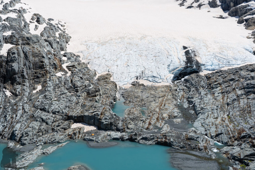
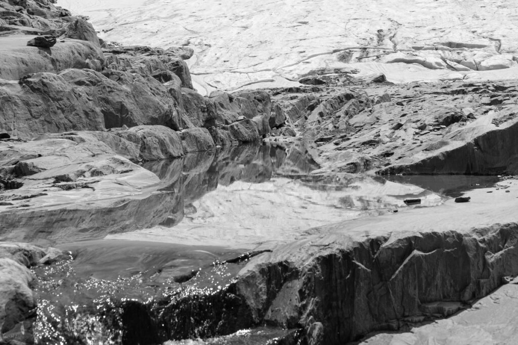
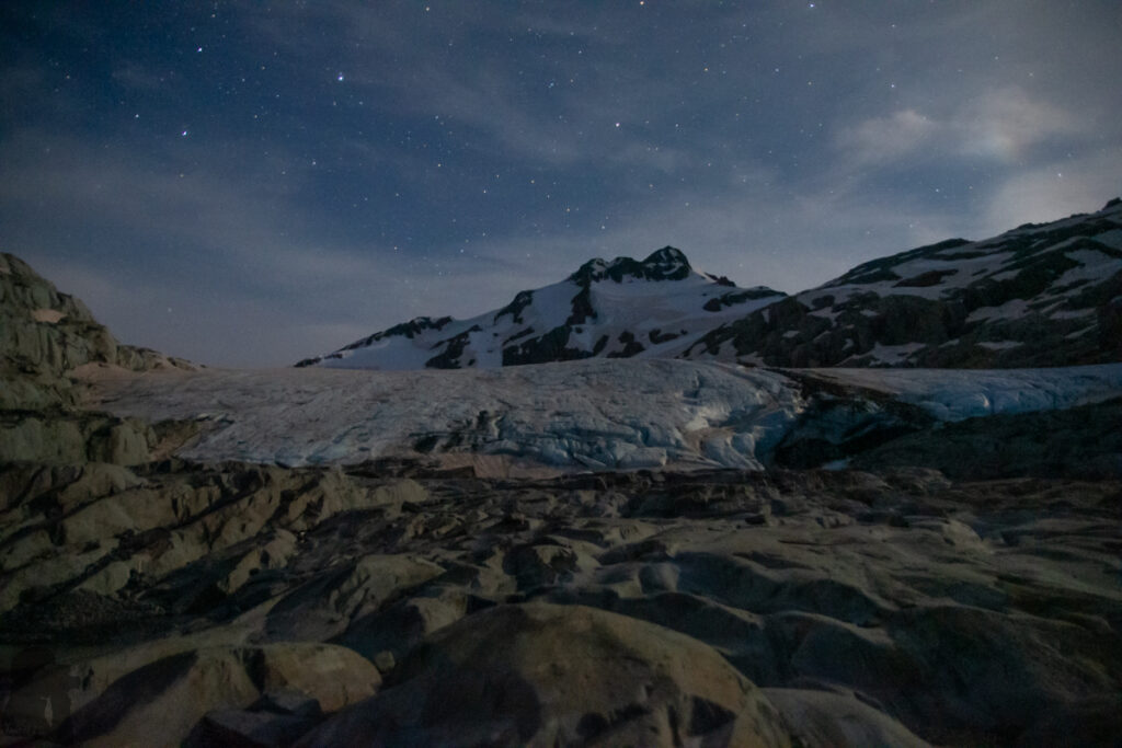
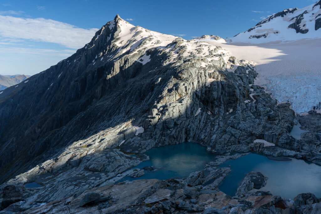
Following the unmarked trail beyond the hut, I ascended to the spot where I veered toward Brewster Glacier. The sidling was along a narrow trail marked by a few cairns without much elevation change. That trail has become more obvious to track in comparison with the condition on my first visit. When the full view of Mt. Brewster, the glacier and lakes unfolded in front of me, it still took a while to scramble down to reach the lakes. And it appeared there were more than one routes that I can go down. Before the noon, I touched Brewster Glacier without having any drama this time.
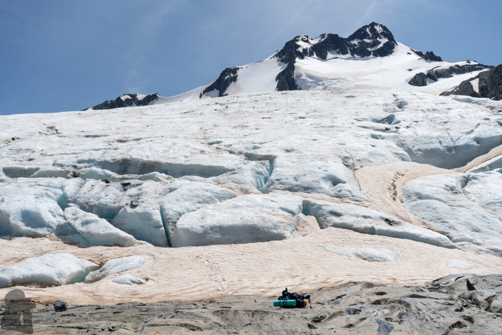
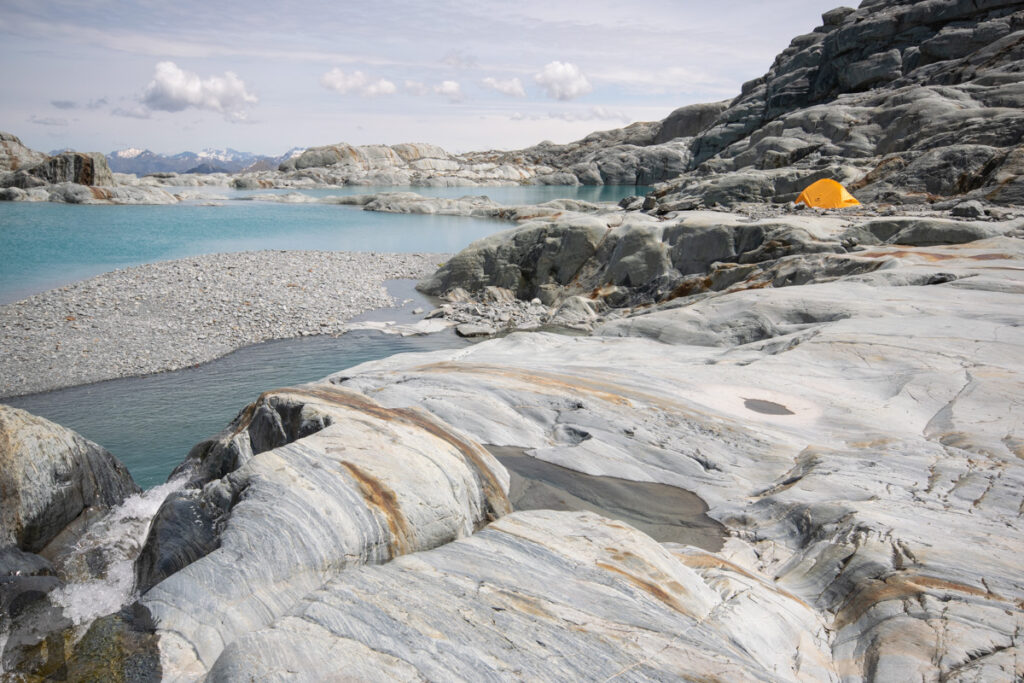
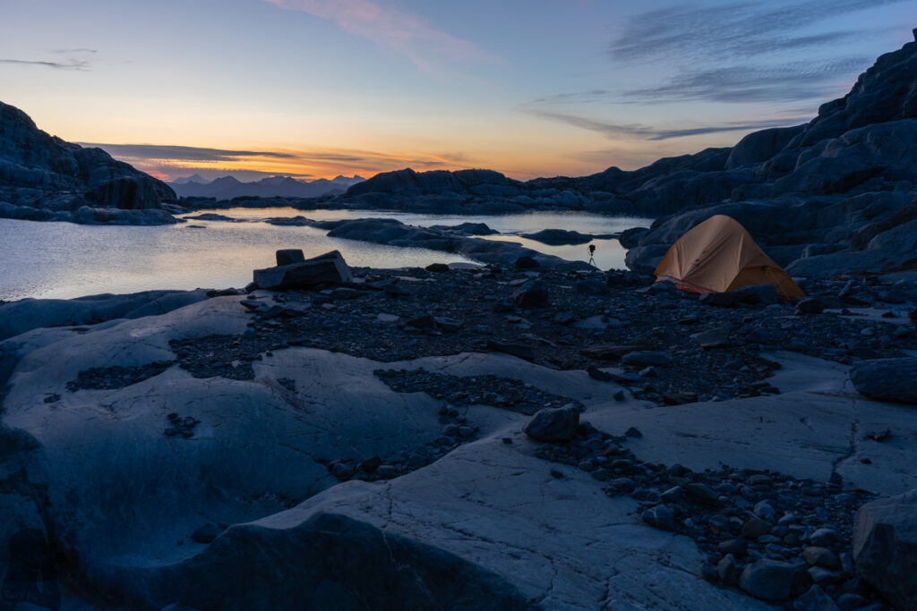
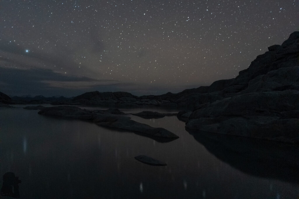
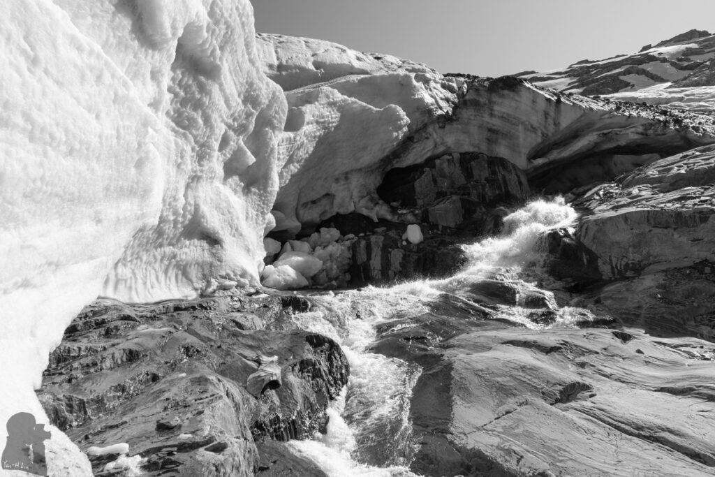
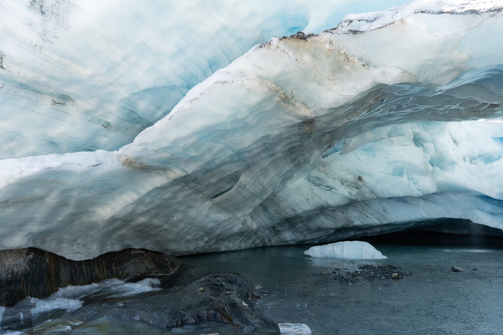
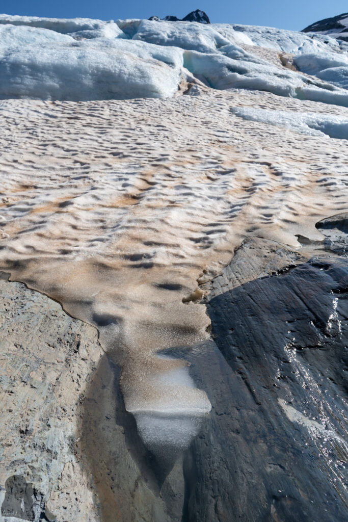
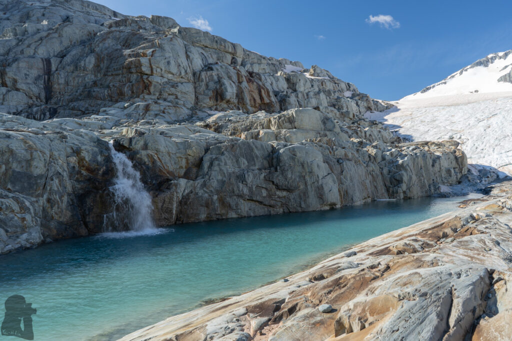
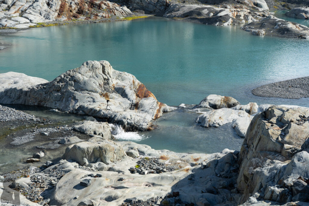
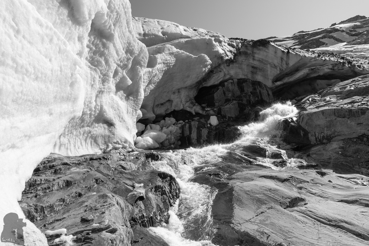
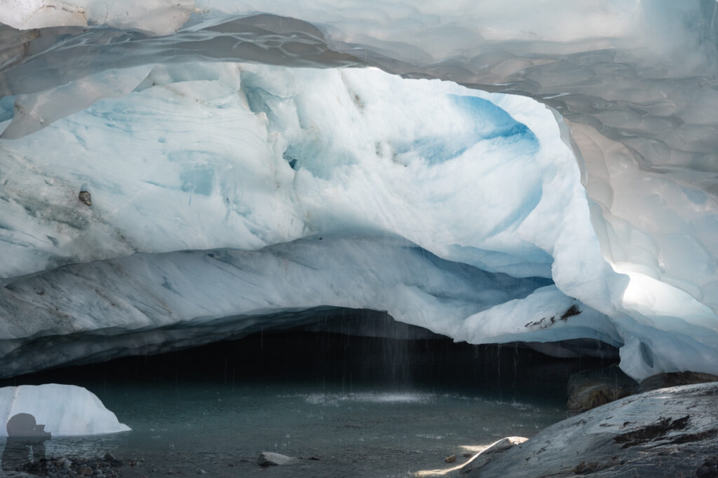
I stayed at the glacial lakes for the next two days, having some exploration around the lakes and walked on the glacier terminus for a few steps. Satisfied with the mission accomplished, I did not climb up to the ridge or hiked further on the glacier to minimize any unnecessary risks. Actually the sun was very brutal during the daytime, too hot to stay in the tent. And there was nothing I can hide underneath (except the ice cave, but I don’t think that is a good idea).
When I eventually was tired of taking pictures, I sat under the shade by the rock and had to change my positions a few times following the movement of the sun. That was what I did in the afternoon on the second day until the tent was cool down. After the trip, I had a nice shower and sleep in a hotel in Wanaka. Skin peeled off from my face piece by piece for a couple of days due to sunburn, the price of not using any sunscreen (and not obeying my partner’s advice).
The beauty of the Brewster Glacier and those lakes definitely attract hikers to explore beyond the hut. But apparently this off-trail hiking is more risky than Brewster Track. Please read through the information and warning from DOC. And be aware that there have been many accidents in this area.
I strongly recommend to bring a navigation device (with offline top map or GPX file) if you intend to go beyond the hut. It may be hard to say who is competent to do this hike, but if you find Brewster Track a difficult hike, then perhaps only staying near the hut is a wise decision, especially if you hike solo.