The content on this website is published in English. I cannot guarantee the quality of the translated text generated by the plugin of this website. The machine-translated “names” and “terminology” are often inconsistent and/or incorrect. If it looks confusing, please switch back to the English version.

Disclaimer: Information such as the locations or the trails shown on the maps of this website might be inaccurate, misleading or out-of-date. They are only the simple illustration for the ranges of the hiking trails or the points of interest. Please prepare your own navigation device, apps, topo maps, and GPX files for hiking.
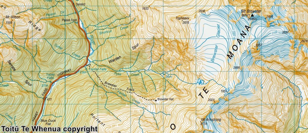
Sourced from Topo50 Map BZ13 Haast Pass / Tioripatea. Crown Copyright Reserved
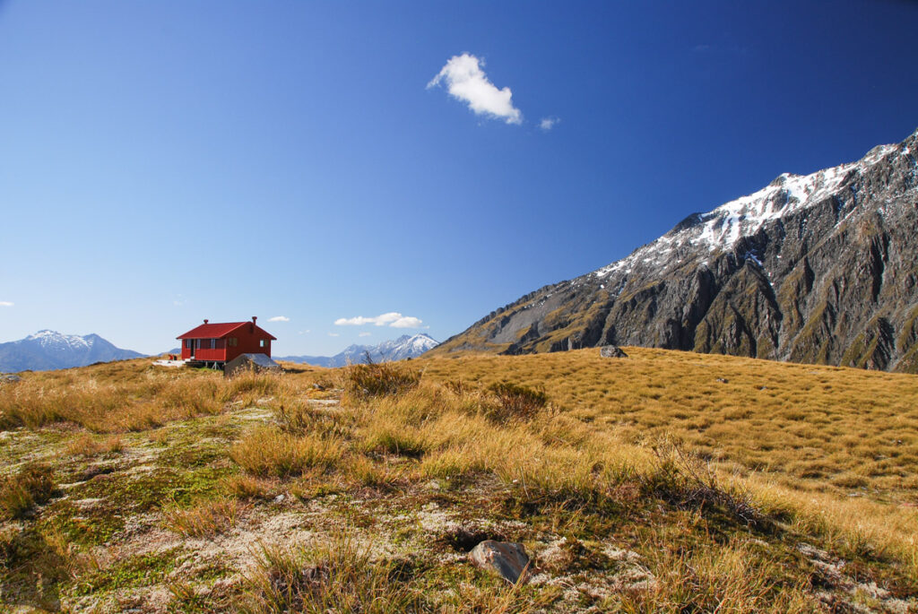
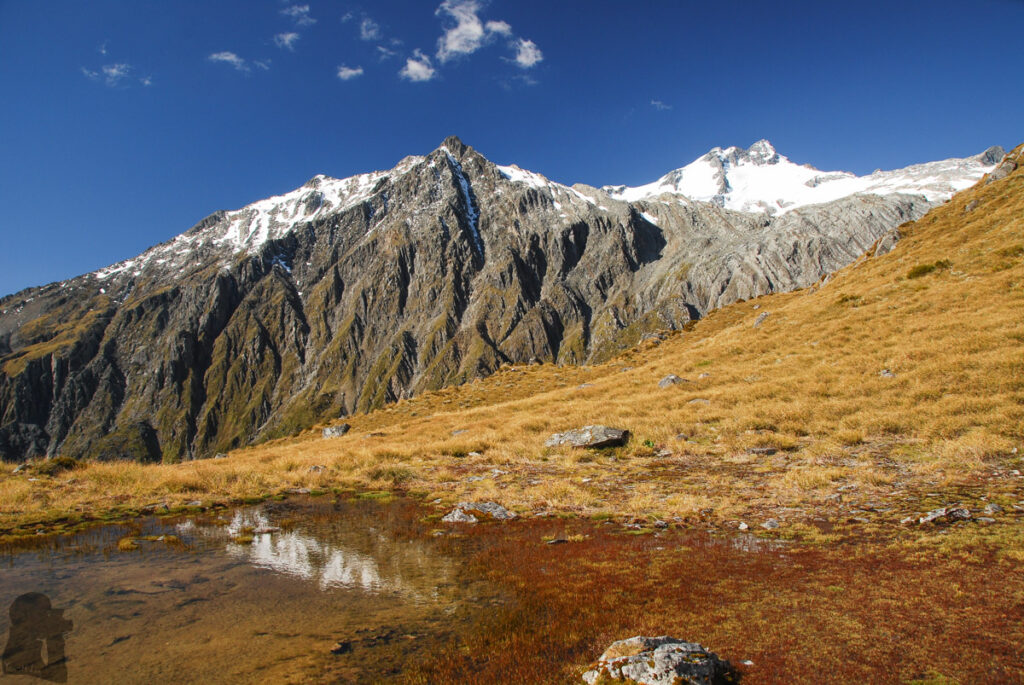
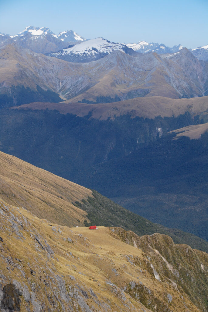
About Brewster Hut, Mt. Armstrong and the glacial lakes of Brewster Glacier
The Difficulty Rating: ★★★☆☆ (To Brewster Hut)
★★★★☆ (To Mt. Armstrong or Brewster Glacier)
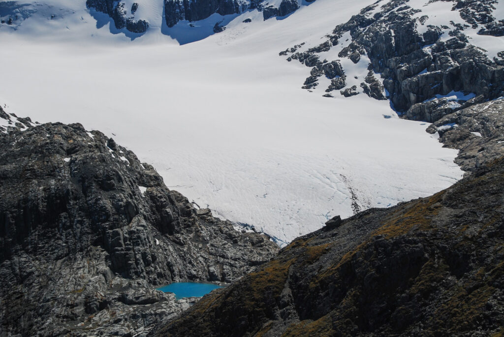
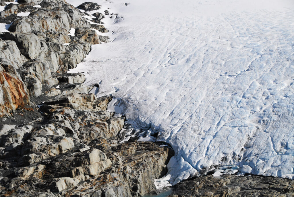
Brewster Track is one the hiking trails in NZ where you may access a glacier not too distant beyond the end of the track. There was a period of time that I was longing to see and touch a glacier because it was the dreamy land feature absent from Taiwan. In 2016 my families and I had a heli-hike, a pricey guided tour, on Fox Glacier which was the first time I walked on a glacier. As a normally self-sufficient hiker, a tour like that cannot be accounted an achievement.
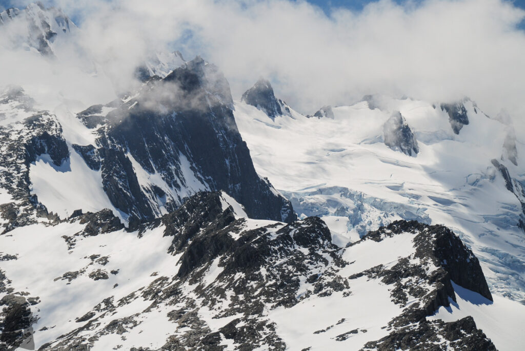
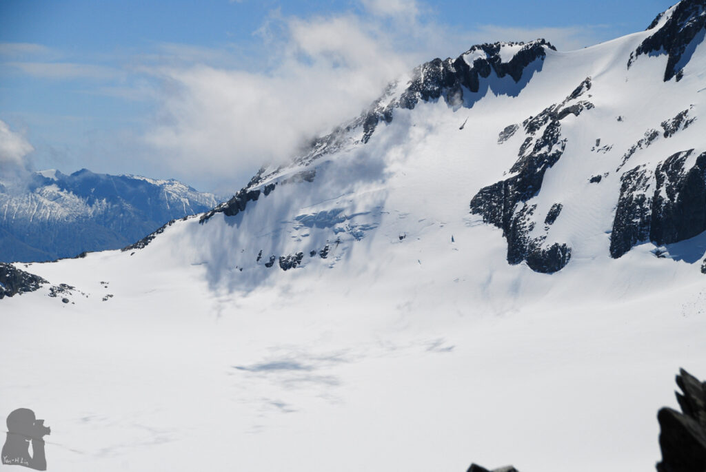
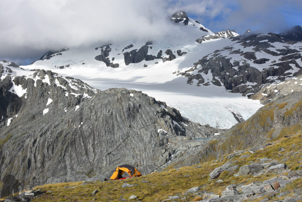
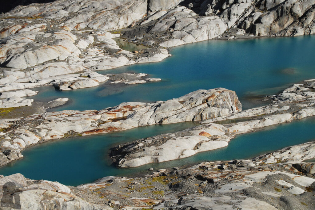
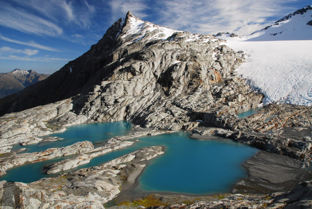
In February 2017 I had a two-day trip to visit Brewster Hut and beyond. I ascended Mt. Armstrong on the first day. The next day I did a return trip to the edge of the terminal lakes below Brewster Glacier and then returned via the same way. This hike impressed me with the amazing beauty of Brewster Glacier.
In December of the same year, I hiked on the trail again with my partner and expected to camp by the glacier lakes. It was a fine day, but the unforgiving sun took its toll on me, likely causing dehydration before I realized it. When we were over the hut and soon after veering toward the glacier, I got serious cramps which began from a thigh first then spread to the other leg, back and belly. The agony hit me over and over while I was paralyzed on the narrow trail facing the steep cliff. It was so painful that I kept knocking my head (with the helmet) against the rock where I was leaning on until I blacked out.
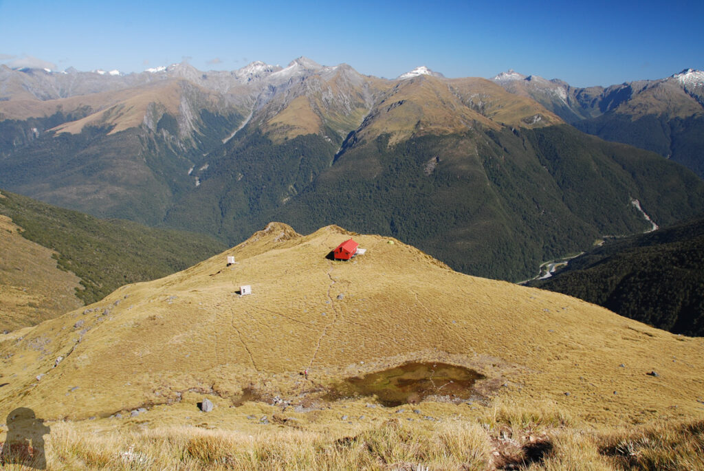
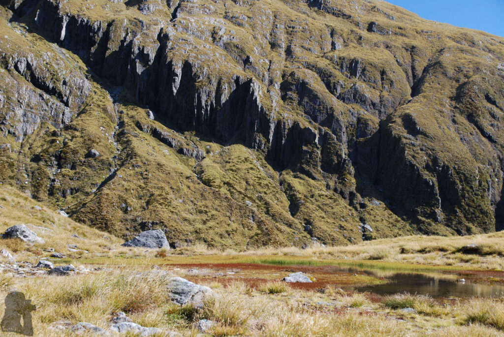
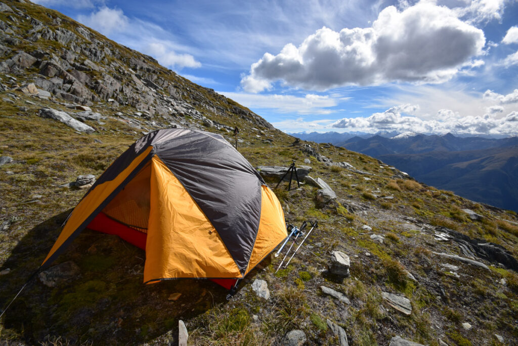
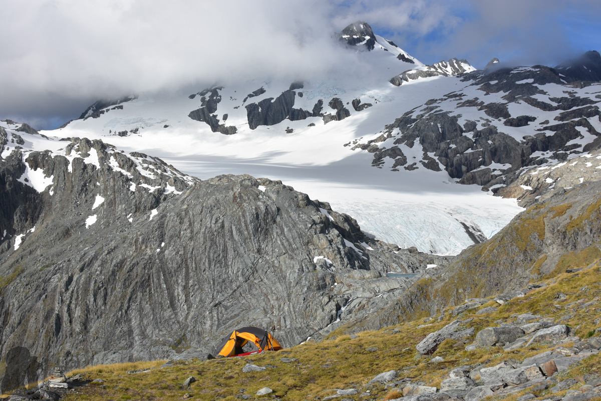
When I was back to conscious one minute later (according to my partner’s witness), the pain finally eased off. A lady around came to chat with us, making sure I was alright. Anyway my condition stranded us for more than an hour and obviously our plan could not be proceeded. We camped somewhere above the hut, where happened to be a tiny pond with some cloudy water, and turned back on the following day. This event was a big shock to me as I hiked under hot weather for many times but never had any serious cramp like that. Apparently not only bad weather can hurt!
Nearly three years later I came back myself and accomplished the mission. You can find more information in the post, “Brewster Glacier.”
Please check out DOC website to know the trip hazards before and beyond the Brewster Hut.
Hiking safety before and beyond the Brewster Hut
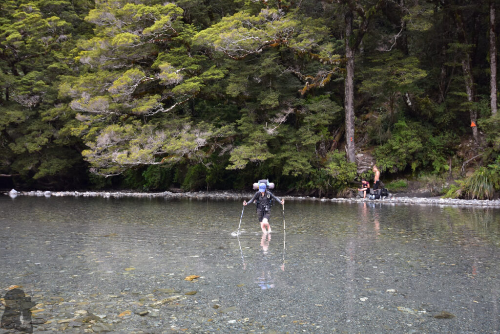
When the river crossing or winter condition is not a problem, the hike from trail head to Brewster Hut is only physically demanding, a 1000 m ascent, but the navigation or the climb should not be difficult.
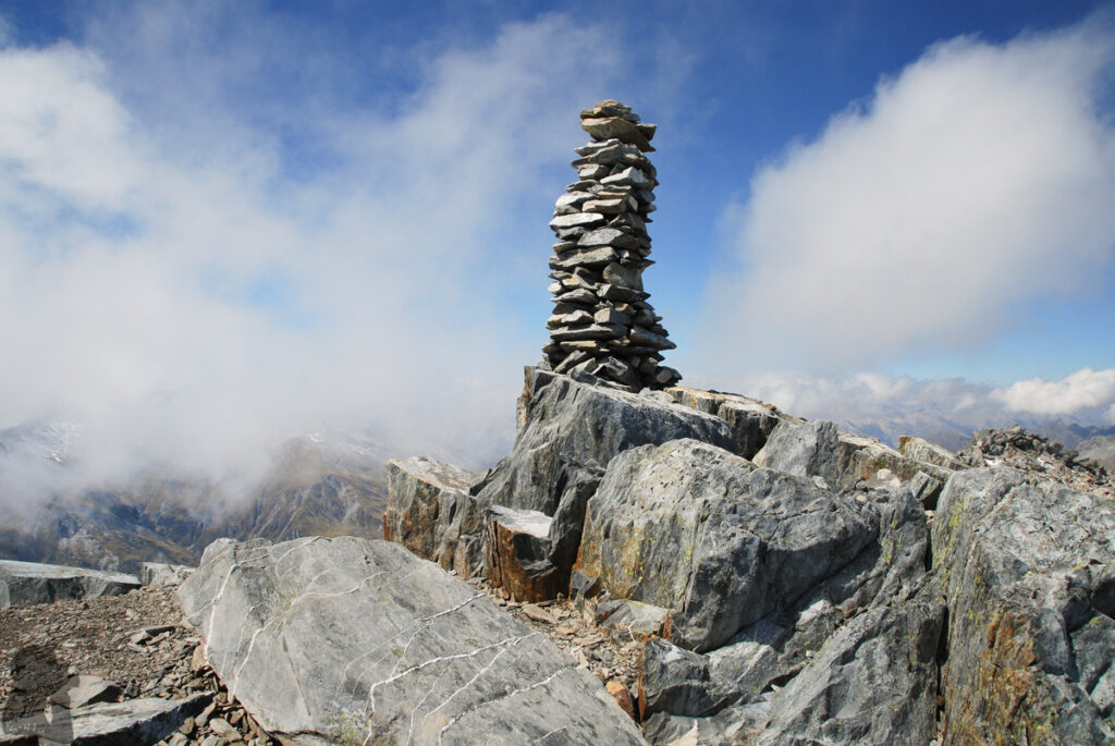
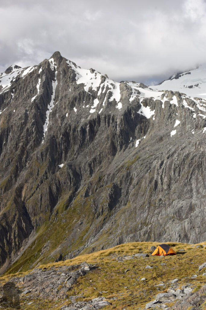
Behind the hut, you can see the unmarked trail leading uphill. But there will be a further 700 m climb to reach the summit of Mt. Armstrong. While following those cairns on the way I found there might be more than one routes to climb the peak. Have your own judgment for navigation and route-finding is important. If you intend to reach Mt. Armstrong and return to car park in one day, please consider if you will have enough time and energy to descend for 1700 m after the summit.
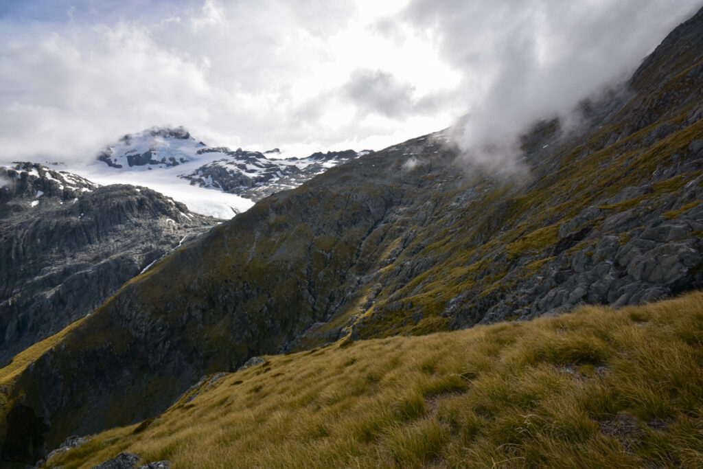
If you plan to go toward Brewster Glacier, the traverse between the hut and glacier (or the terminal lakes) was not easy either. I sidled across the steep terrain along a faint trail marked by a few cairns until I overlooked those lakes closely. During my second trip to there, that narrow trail seemed more obvious to see, perhaps because I already knew where to look at.
A navigation device (together with the offline topo map and GPX file) may help you maintain the right course, particularly beyond the hut. Please read this article and watch the video to know more about the information and the risks. The track and the adventure beyond the hut is not for everyone and everyday.