The content on this website is published in English. I cannot guarantee the quality of the translated text generated by the plugin of this website. The machine-translated “names” and “terminology” are often inconsistent and/or incorrect. If it looks confusing, please switch back to the English version.

Disclaimer: Information such as the locations or the trails shown on the maps of this website might be inaccurate, misleading or out-of-date. They are only the simple illustration for the ranges of the hiking trails or the points of interest. Please prepare your own navigation device, apps, topo maps, and GPX files for hiking.
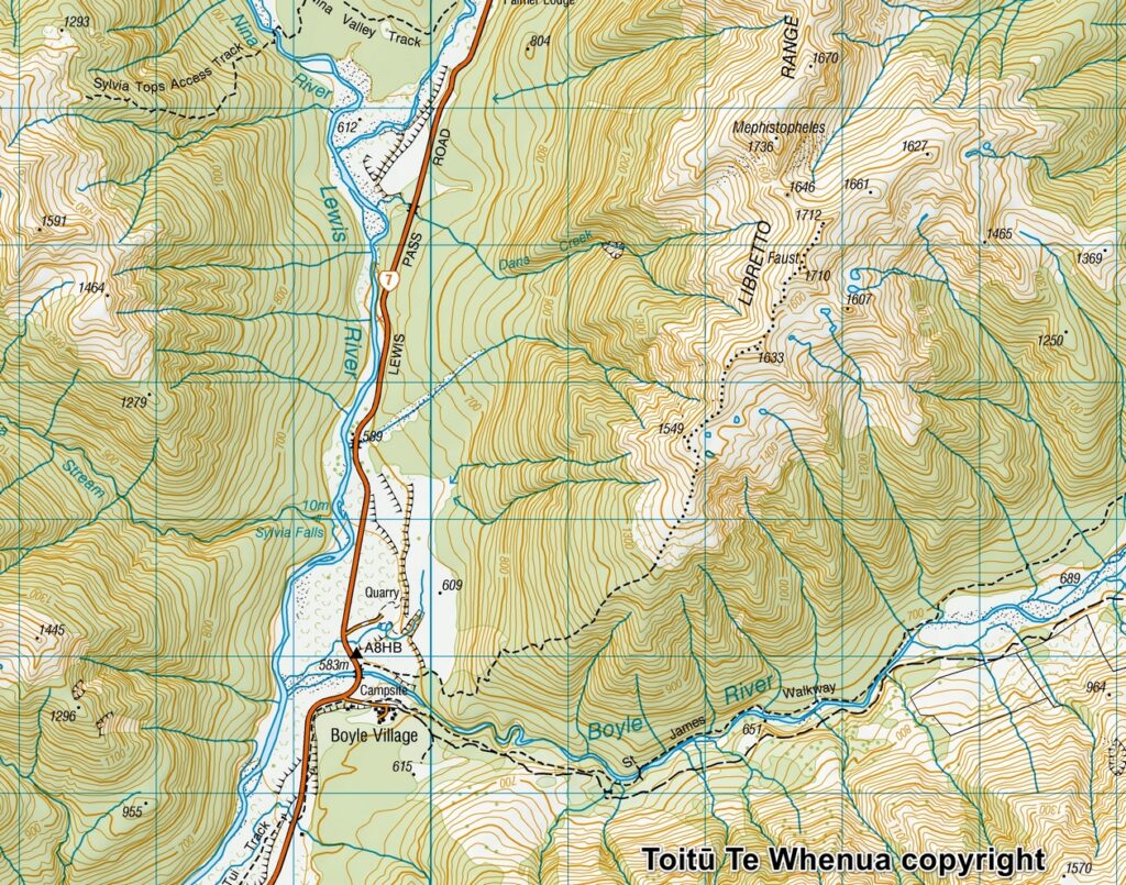
Sourced from Topo50 Map BU23 Boyle Village. Crown Copyright Reserved
About the Faust and the tarns
The Difficulty Rating: ★★★☆☆ (Return to the same way)
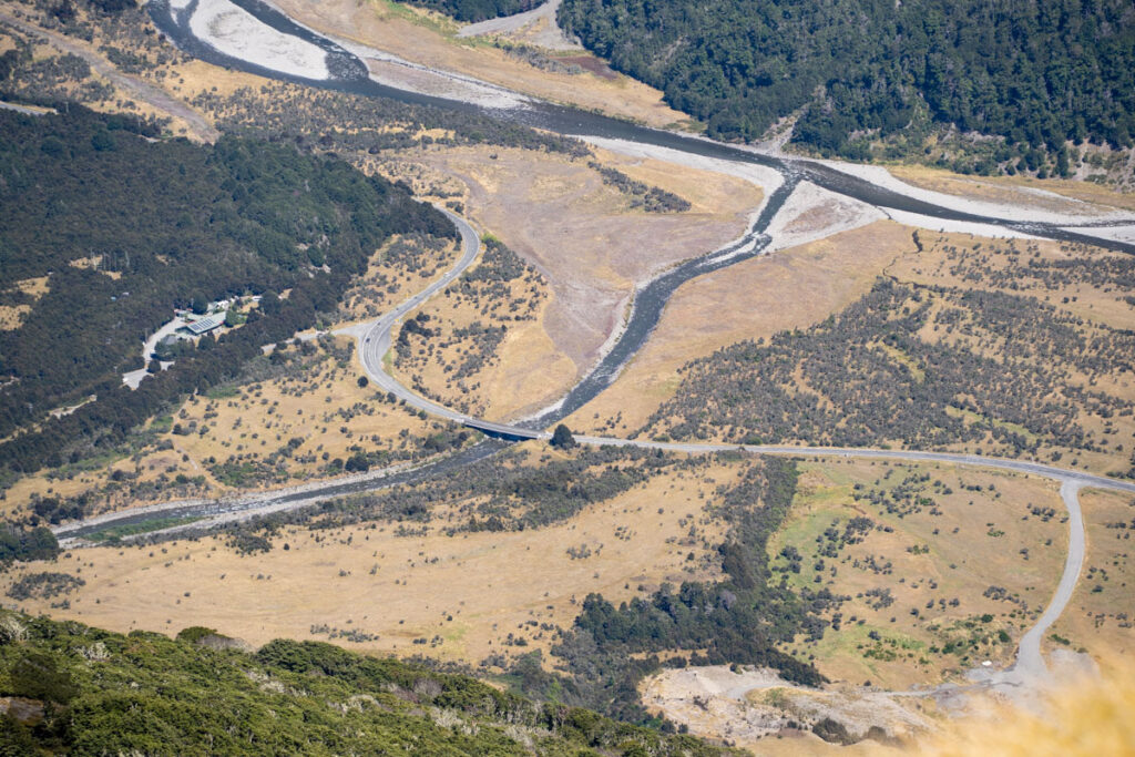
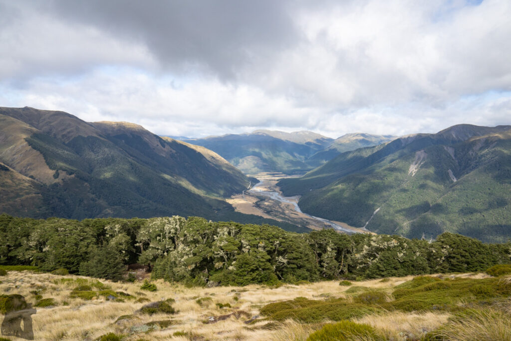
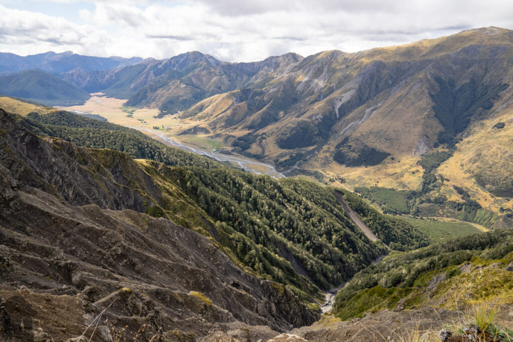
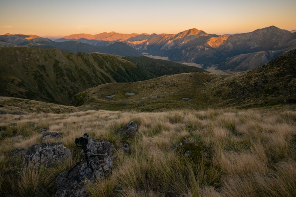
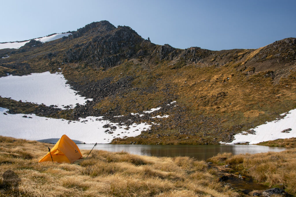
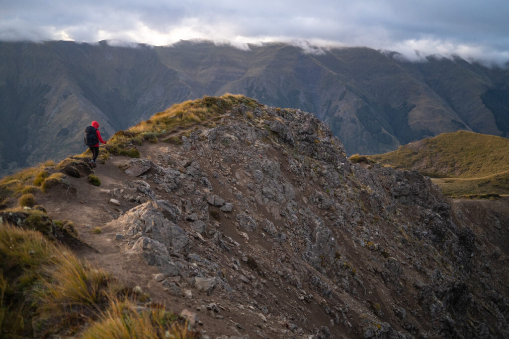
Faust, the peak near Boyle Village and SH 7, is my favorite hiking destination. The return hike to the summit can be done in one day or alternatively a two-day trip by camping at one of the lovely tarns along the ridge, the way I did for the recent three hikes there. The photos of this post were taken on these hikes. More photos and trip comments of my first visit are in “Faust, a Day Hike” and the second two-day hike, “Faust in Snow.”
The trail to Faust is unnamed on topo map and I did not see any relevant information on DOC website; perhaps they do not manage this trail. From the trail head to its 1710 m summit, the net altitude gain is over 1100 m, meaning it can be a physically demanding climb for someone who does not hike regularly. The gradient is moderate along the route without very steep sections.
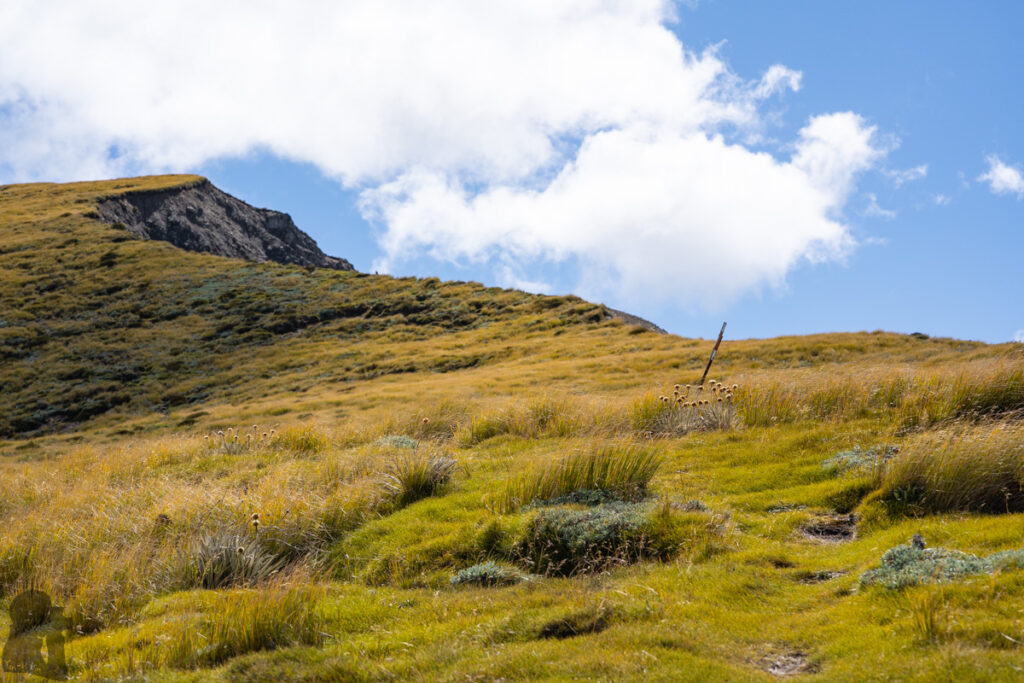
After the bushline the route was only poled for a short distance and the remaining section to the peak was unmarked, but in general there was nothing particularly dangerous. The chance that you need to scramble is low (but probably not none).
However, if you want to visit any tarns, you will need to choose a safe route by yourself. Even it is not a difficult hike, the navigation skill is required. Actually I went astray more than once: in the forest between where the outdoor facility / equipment are located and where the trail starts the steady ascent; and when walking down from the campsite at the bushline. Please see my comments in “Faust, a Day Hike.”
After reaching the summit, returning via the same way is highly recommended. A navigation device with offline topo map can be very helpful if you fail to track the trail markers or when the visibility is low on the ridge. The trail was unusually quiet. I only met one hiker during five trips. It appears that Faust is not a well-known hiking destination.
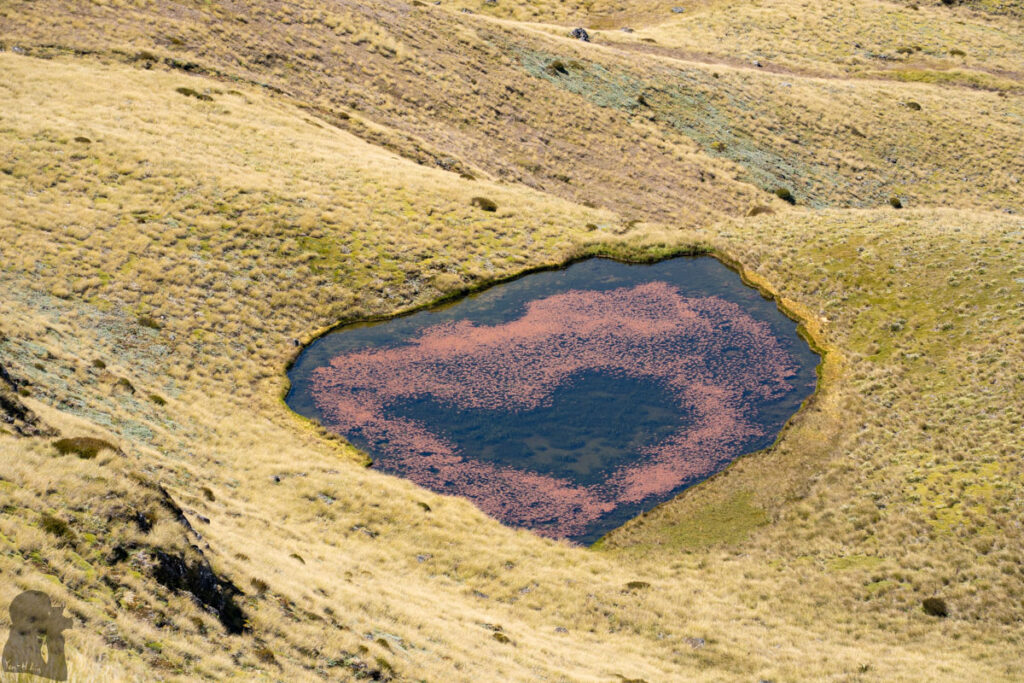
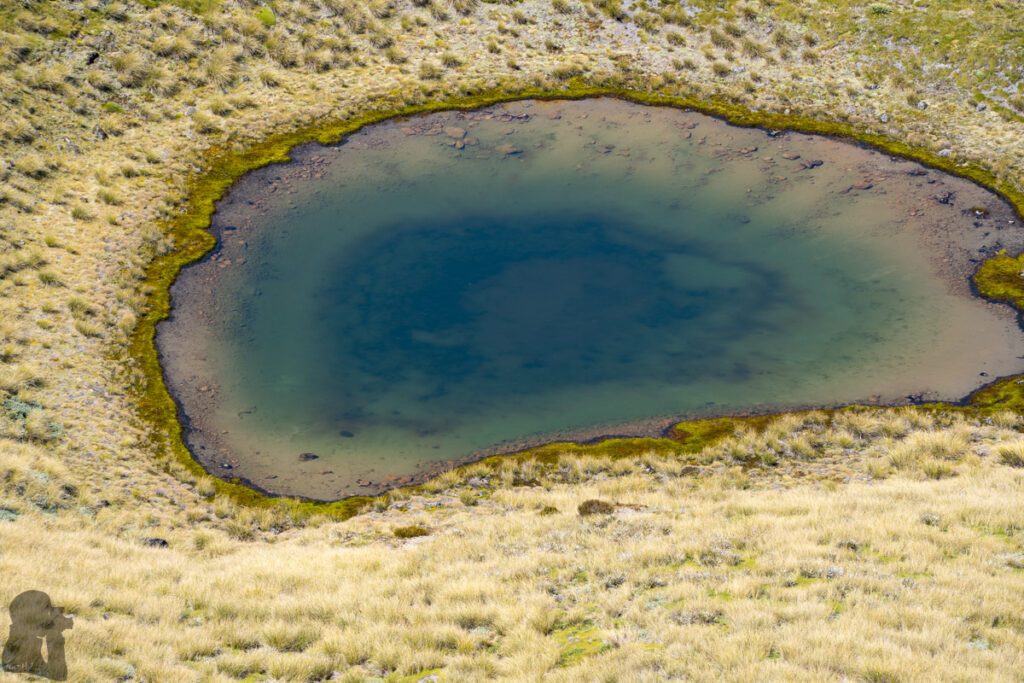
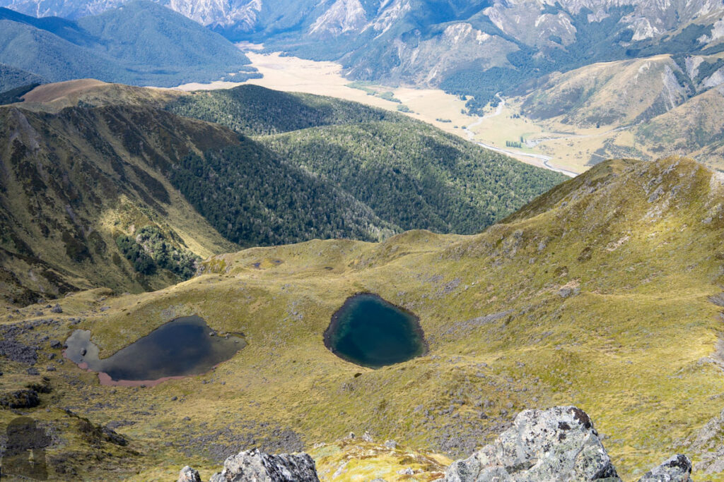
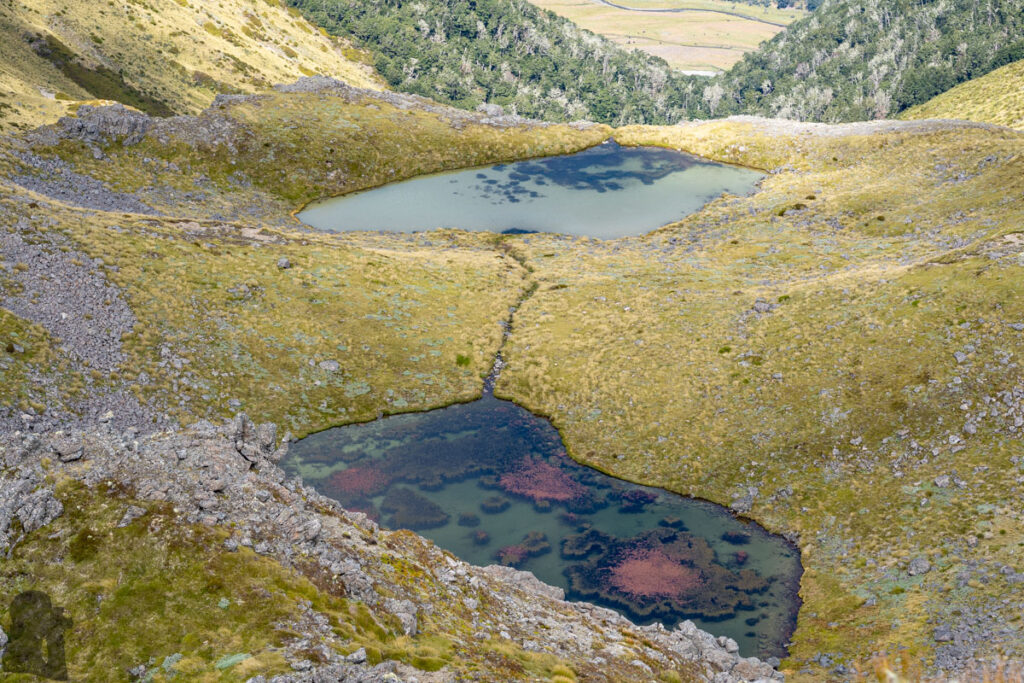
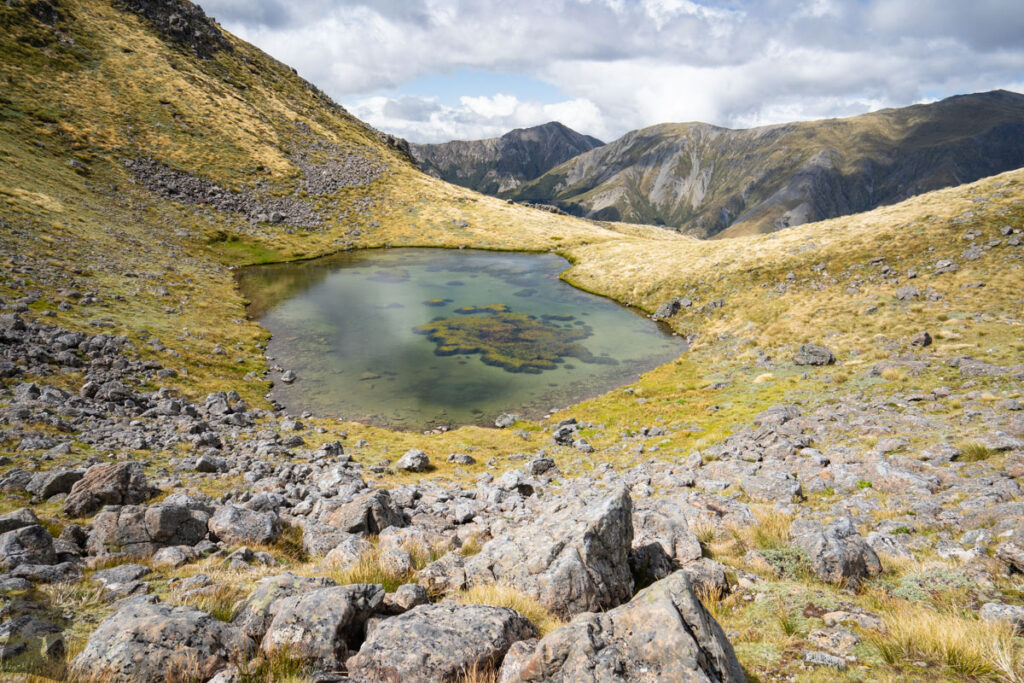
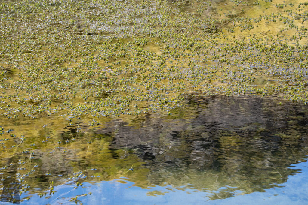
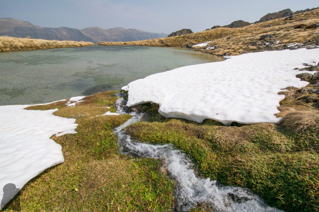
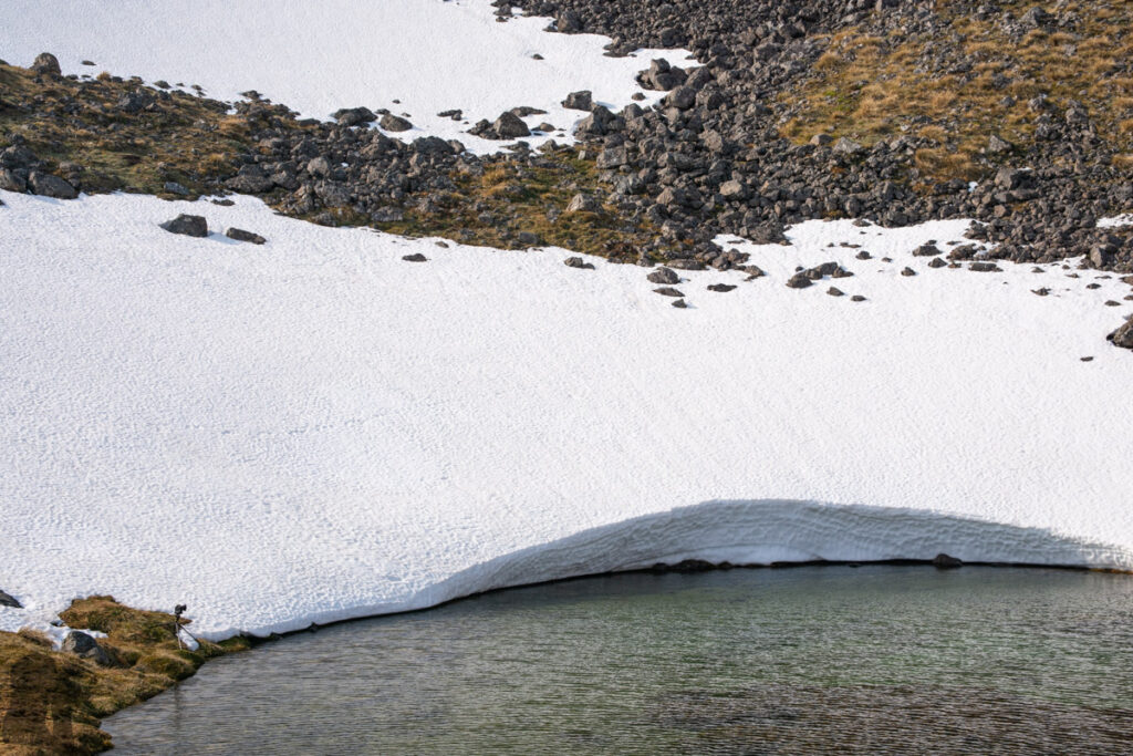
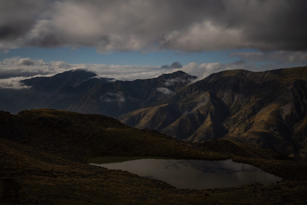
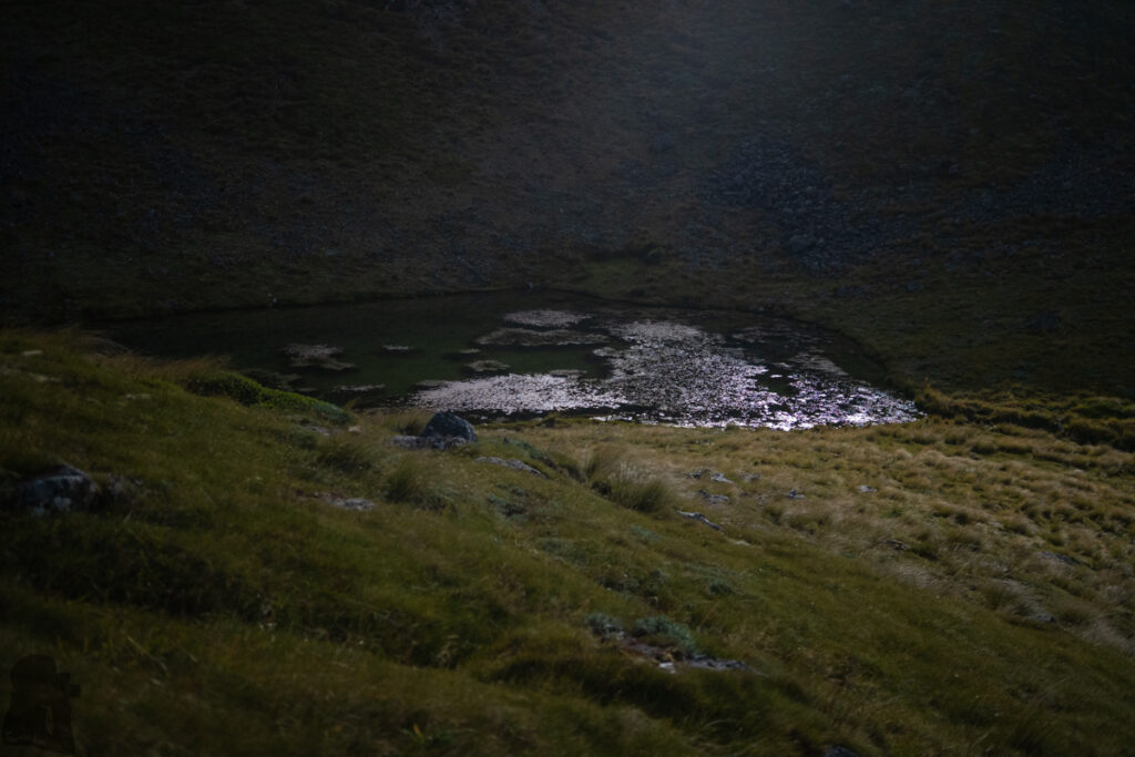
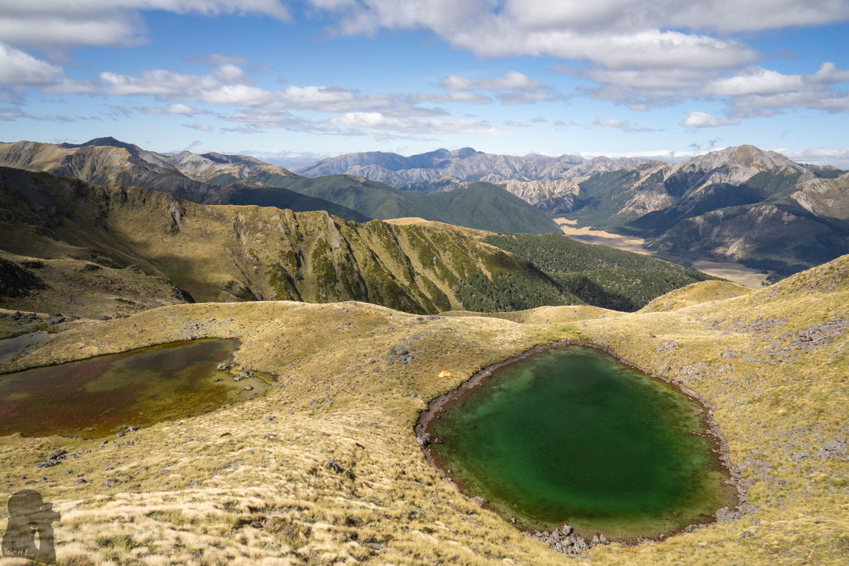
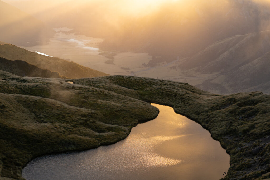
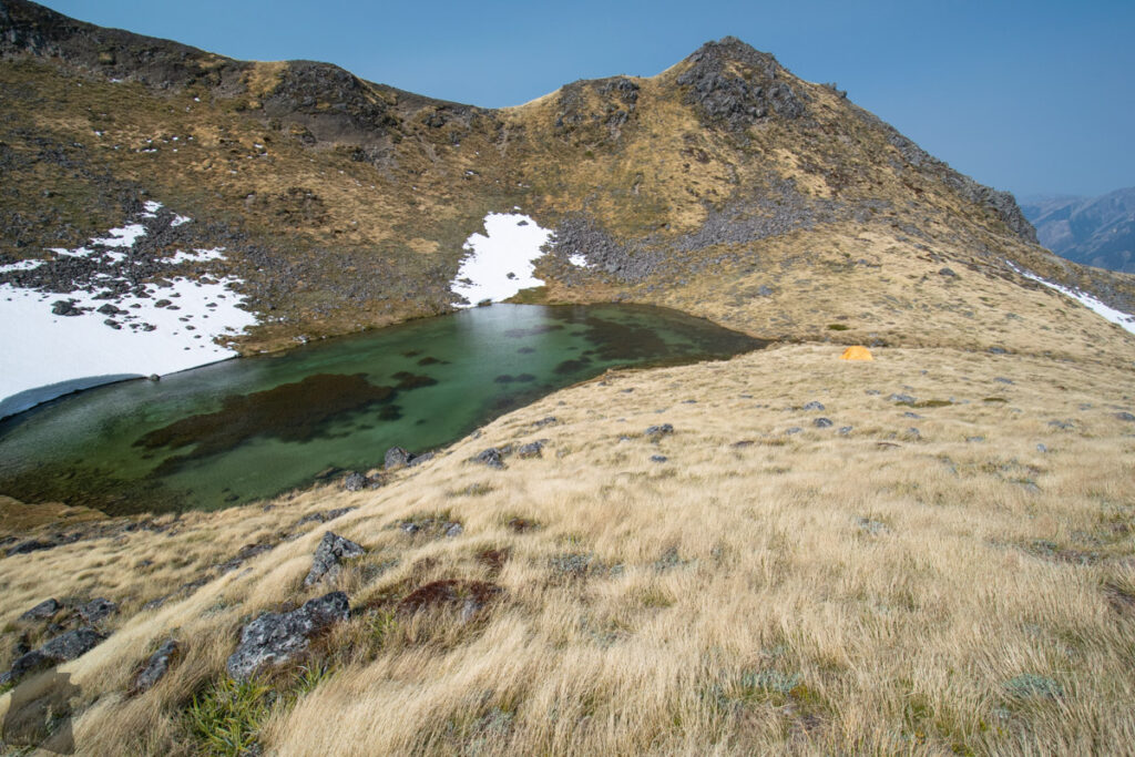
The highlight of the hike is the tarns along the ridge; they dot the ridge until the peak. Each tarn has its own style. In my opinion the most attractive tarns are the four that right underneath the summit of Faust. Two tarns situate on each side of the ridge between the summit and Pt 1607 and each one of them presents a different color and shape. These “big four” was the main reason I hiked on the trail for five times. I camped at the southern tarns twice and the northern tarns once which fulfilled my goal since the first hike to Faust.
To arrive any of these tarns, you will have to descend from the ridge and work out a safe route for you, which may be more difficult than only traveling on the ridge. The latest trip was done in February 2024 and my partner finally saw the tarns I mentioned to her a couple of years ago. I am not sure if I will head to this mountain again in the future but this is a hidden gem I highly recommend.