The content on this website is published in English. I cannot guarantee the quality of the translated text generated by the plugin of this website. The machine-translated “names” and “terminology” are often inconsistent and/or incorrect. If it looks confusing, please switch back to the English version.



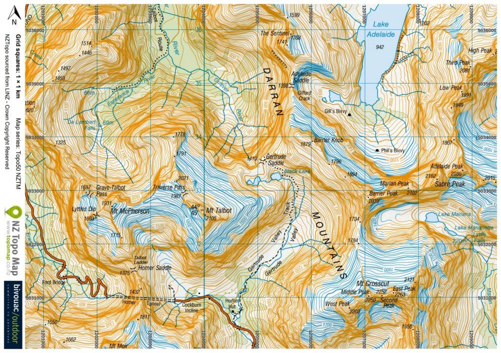
Disclaimer: Information such as the locations or the trails shown on the maps of this website might be inaccurate, misleading or out-of-date. They are only the simple illustration for the ranges of the hiking trails or the points of interest. Please prepare your own navigation device, apps, topo maps, and GPX files for hiking.
About Gertrude Saddle Route
The Difficulty Rating: ★★★⯪☆ 3.5 (only to Gertrude Saddle)
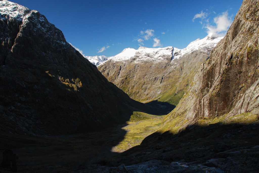
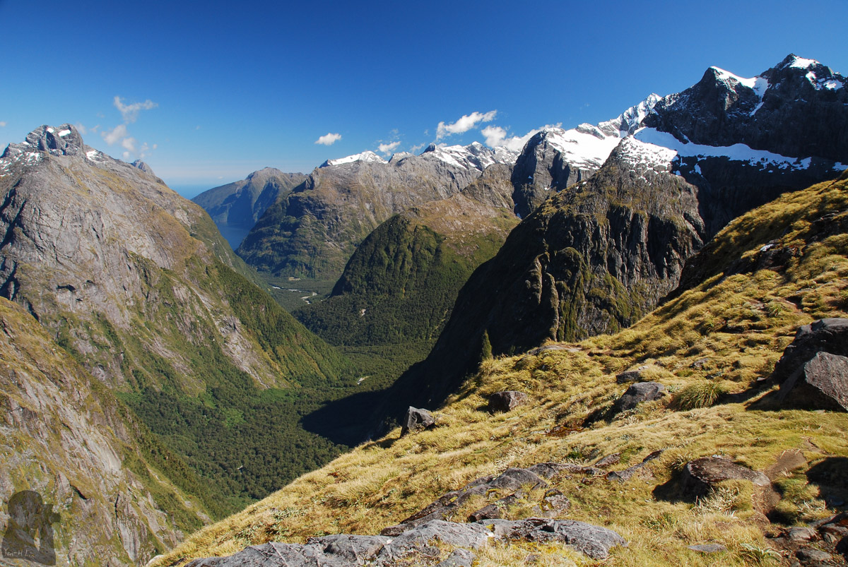
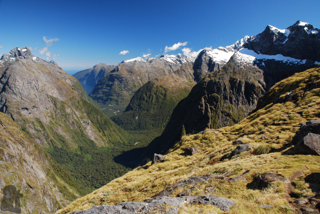
Gertrude Saddle Route is my favorite hiking trail in NZ, the best one to enjoy the magnificence of Fiordland, the glacier-shaped terrain, without spending tremendous time and effort. The hike is challenging but not extreme or technical. No bushwhacking is required! But you need a basic level of navigation skill for the unmarked sections of this route and a good judgment when the weather is bad or the trail is iced up.
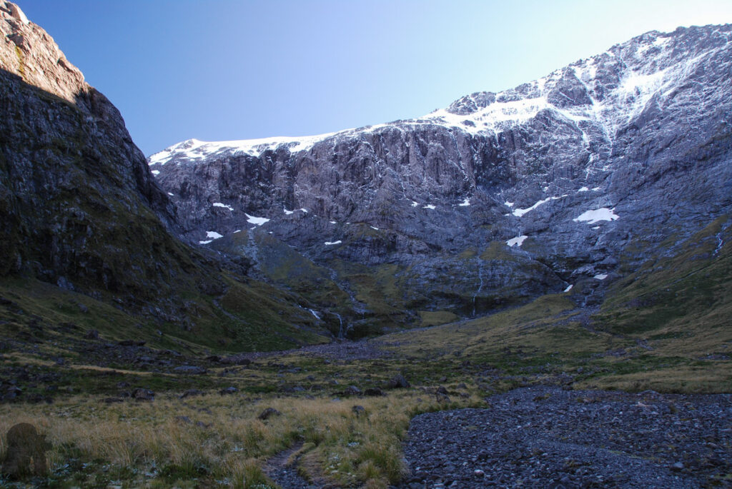
The trail head is by the SH 94, approximately 1.4 km before the Homer Tunnel if you are heading toward Milford Sound. So it is easy to find and to park. I saw some visitors who just walked away from the car park for a short distance to have a look at the valley and turned back. That is fine if you are not prepared for a serious but rewarding hike. Please read through DOC’s advice before your hike.
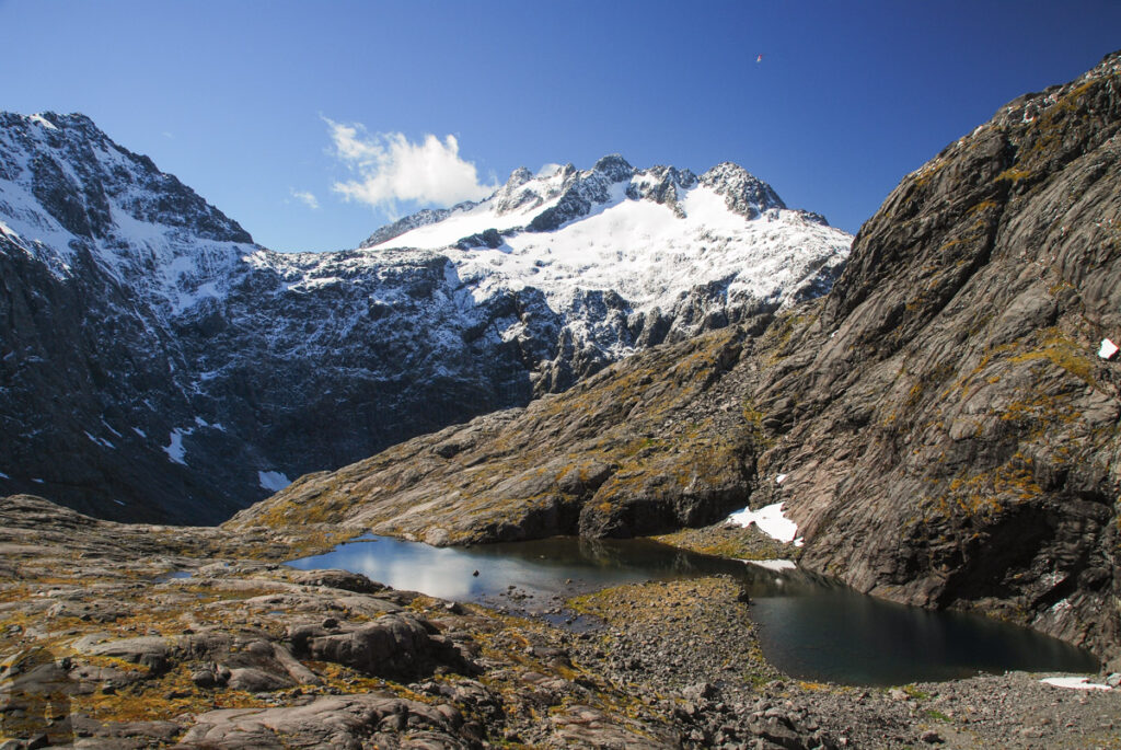
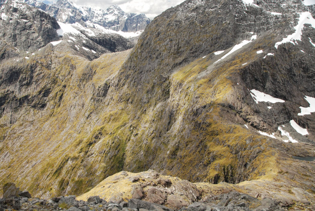
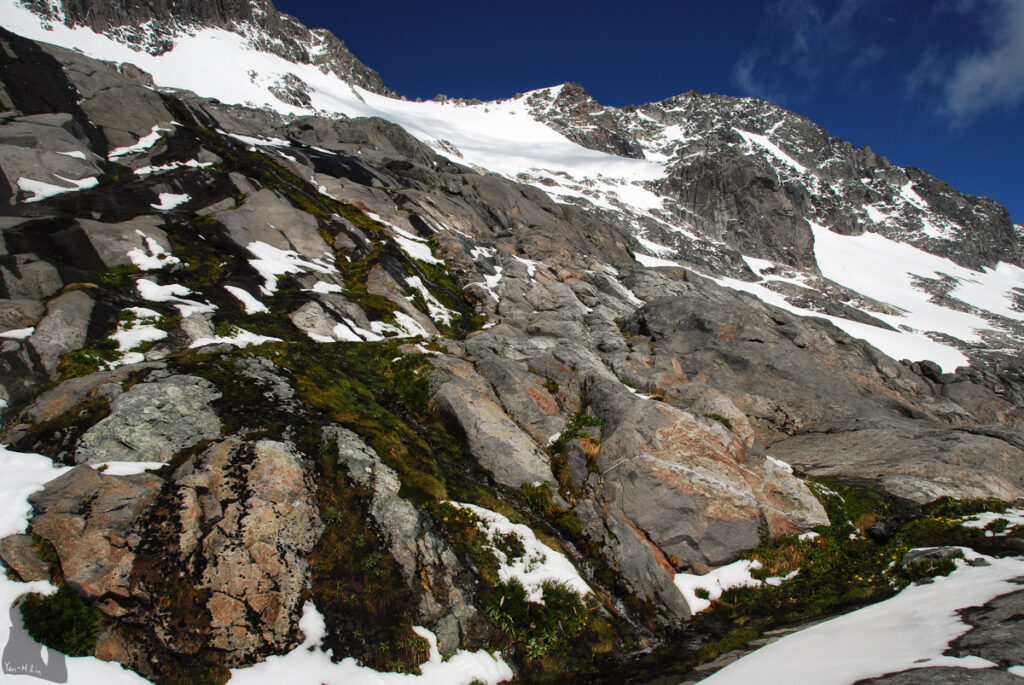
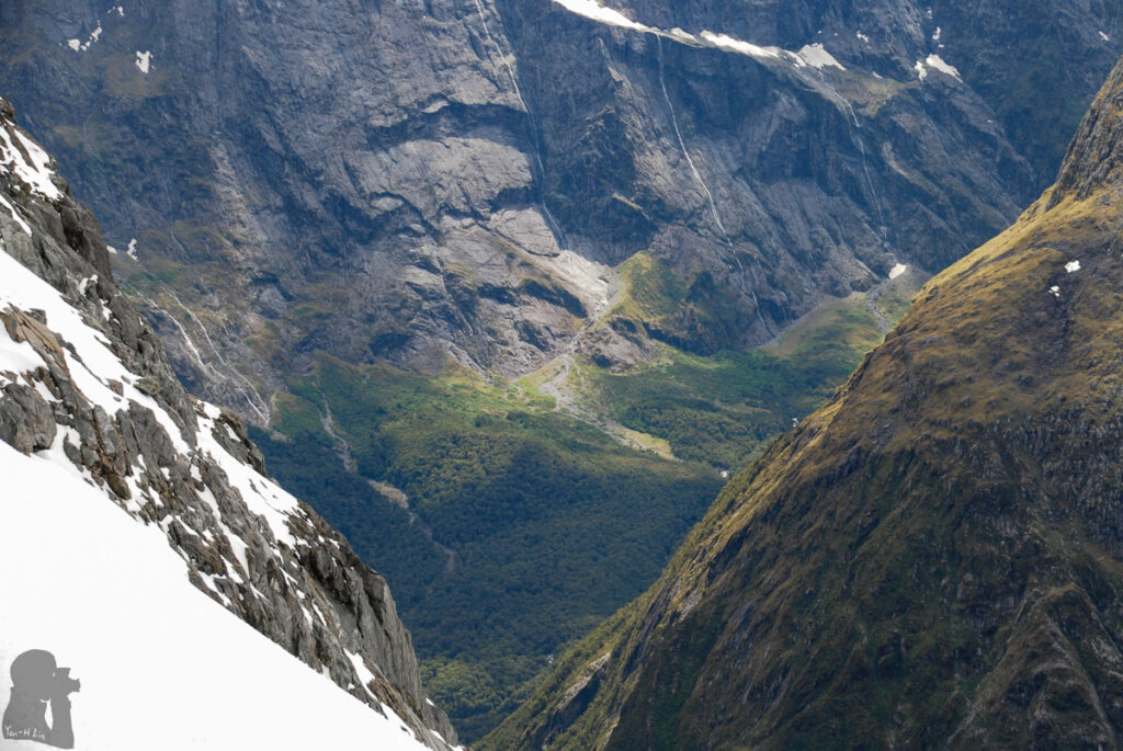
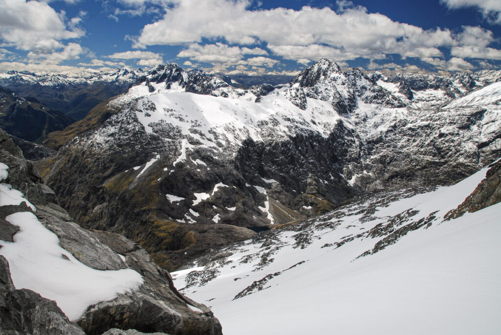
The trail is a paradise for taking pictures. There are endless stunning views right from the start all the way to the saddle and beyond, all up to how keen you are and how far and high you can reach. Some very experienced climbers take this route to climb surrounding mountains or even traverse to Lake Adelaide. Unfortunately I am not one of them.
I hiked on this trail three times with different destinations on each trip.
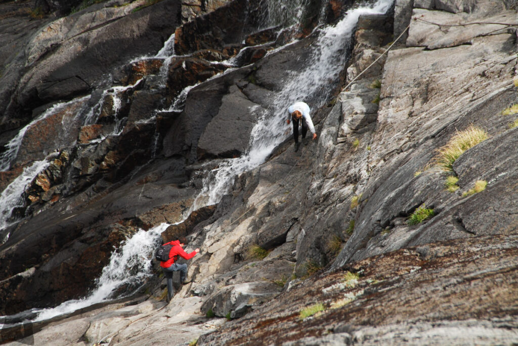
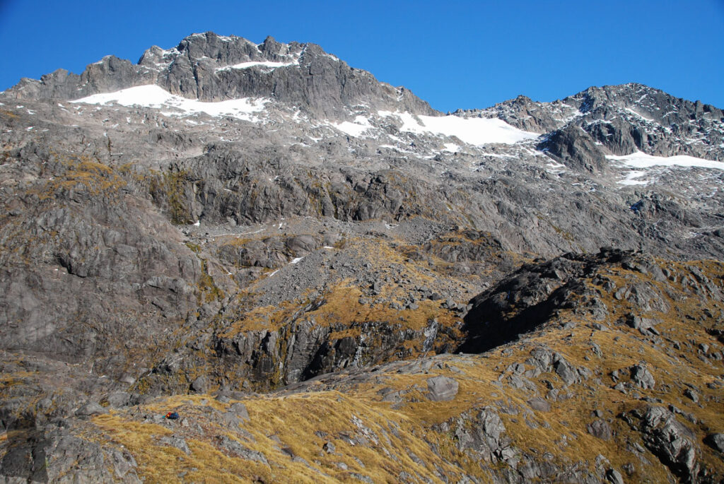
The first time was in January 2017 when the route was less marked than it was one year later. After the flat section in the valley I had to use my Garmin GPS and cairns to locate the route going up near a waterfall. I recalled some cairns were placed at strange spots where led me to climb an unreasonably steep and slippery rock face until I spotted the correct route to ascend.
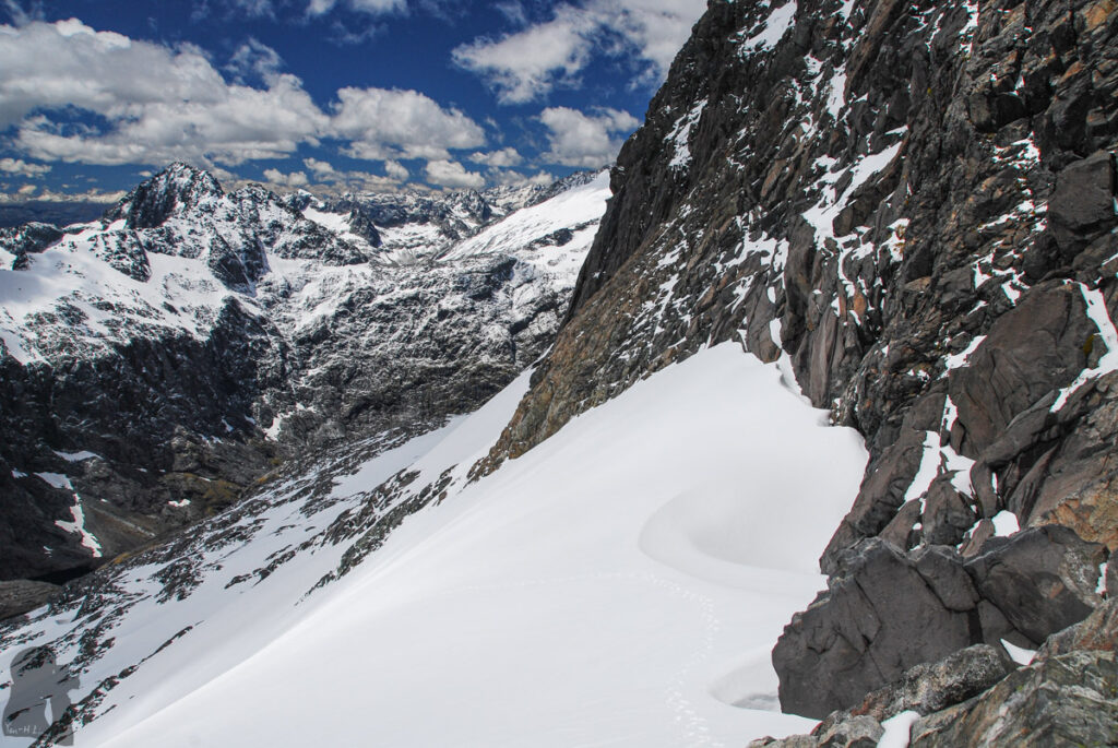
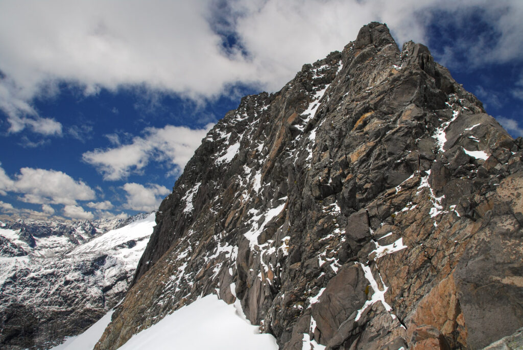
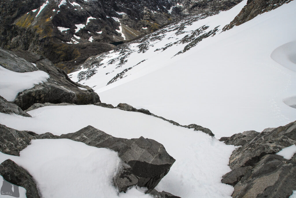
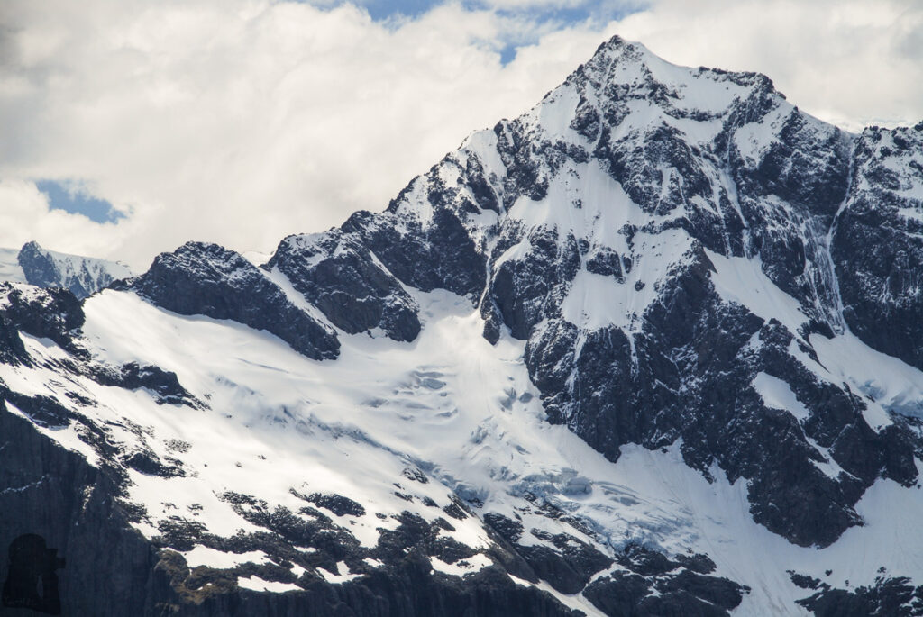
Once I was on the trail for normal human beings, the hike became straightforward. During that time my ambition did not end up at Gertrude Saddle, my goal was to reach Mt. Talbot. I kept going up, passing the steep snow field below Traverse Pass. When I look up to Mt. Talbot on the narrow pass, the sheer peak standing out of snow, seemed not too far away.
But somehow it appeared I needed a big leap to reach the next boulder to start the climb from my current position. Or I had to go down to the snowy slope to climb up that boulder but there was a gap where snow dented in the front. Anyway either way was not too easy.
I listened to my intuition which stopped my bold attempt. After all, I was not a free solo climber at all. It was a big day which I spent 17 hours including the time I drove back to Dunedin.
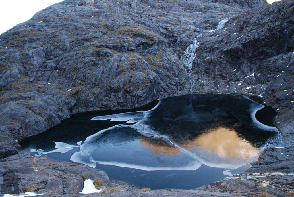
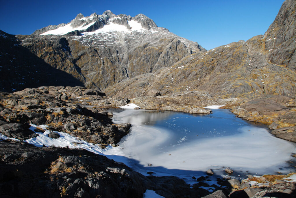
The second hike was done in June of the same year. Probably because the snow had stopped melting, the stream in the beginning of the trail was dry, saving me some time from getting off / on the boots / socks. Learned from the previous experience I hiked along the correct route to the saddle smoothly, a quiet hike without seeing anyone around. I pitched the tent on the side of the upstream tarn, higher than Black Lake. But another lesson was coming soon.
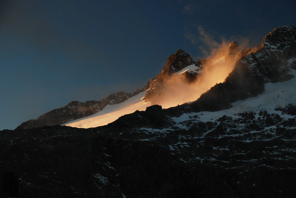
The day turned super windy during the night. My tent, not pinned and merely fixed on a few stones loosely, was almost crushed. The only thing held the tent was my body weight. The tent was so distorted that one side leaned against me. When I finally had a chance to move out the tent, trying to find some bigger stones, it was almost sent flying before I managed to throw several stones into it. They saved the tent but knocked many small holes on the floor.
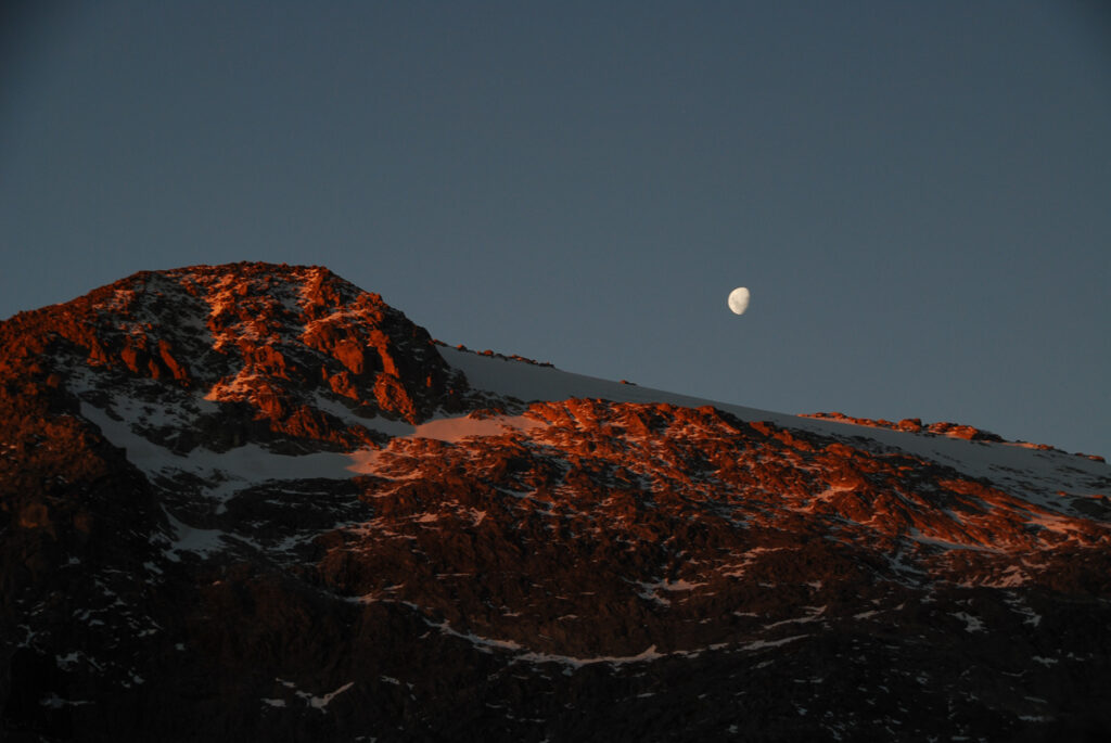
The following day was a clear sunny day. I decided to stay one more night to take more photos. Since the scary night I chose the next camping location very carefully from all the possible options. It probably took me the entire day to secure my tent before the evening came, so actually I did not find many good photos taken on that day. My tent and I survived again, protected behind a boulder this time. When I descended to the valley I finally met a couple, the only two people I saw in three days. They said it was cold enough to stay in the campsite by the highway.
Some of the tent’s poles were bent to a funny curve but they remained functional. I taped all the holes on the floor. This brave and tough tent still lives with us.
I did the third hike to Gertrude Saddle and beyond nearly one year later in summer. I camped on the ridge between Barrier Knob and Barrier Peak. You can find the photos and notes of this hike from this post (when it’s published).