The content on this website is published in English. I cannot guarantee the quality of the translated text generated by the plugin of this website. The machine-translated “names” and “terminology” are often inconsistent and/or incorrect. If it looks confusing, please switch back to the English version.
Disclaimer: Information such as the locations or the trails shown on the maps of this website might be inaccurate, misleading or out-of-date. They are only the simple illustration for the ranges of the hiking trails or the points of interest. Please prepare your own navigation device, apps, topo maps, and GPX files for hiking.
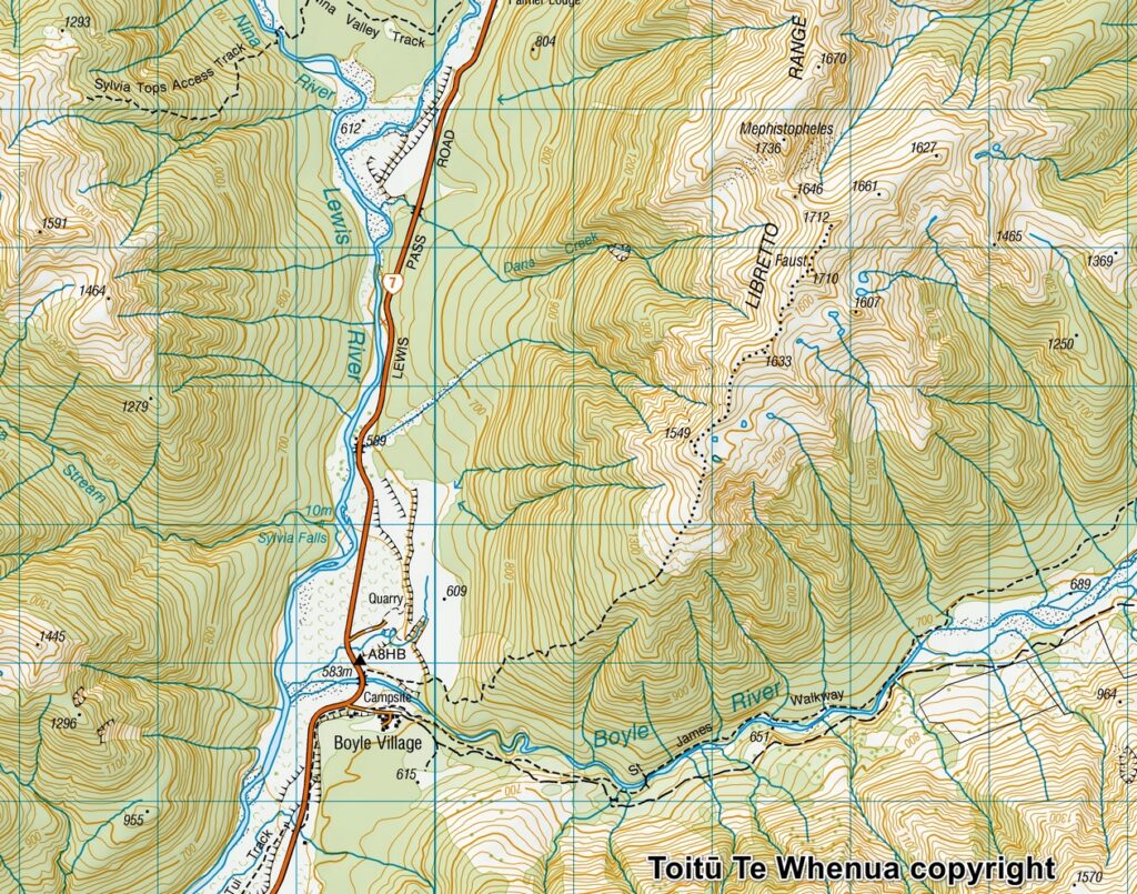
Sourced from Topo50 Map BU23 Boyle Village. Crown Copyright Reserved
About the Faust, the special feature of the trail
The difficulty rating: ★★★☆☆ (Return to the same way)
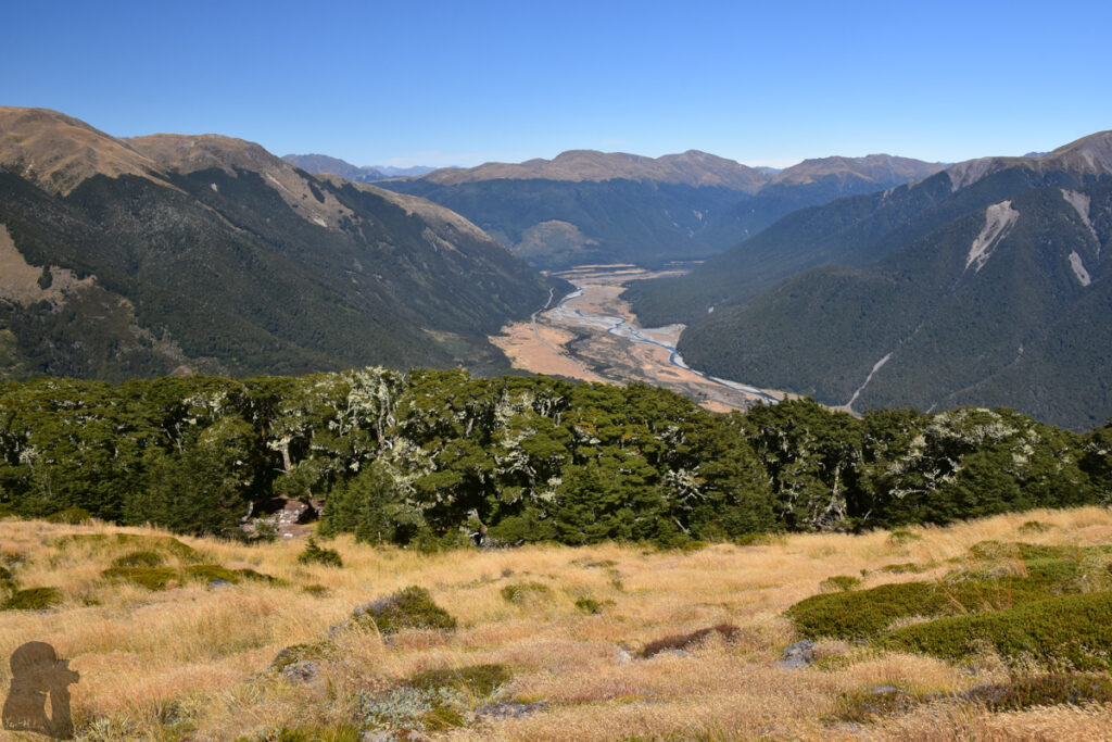
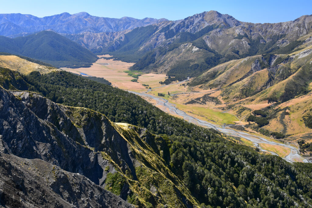
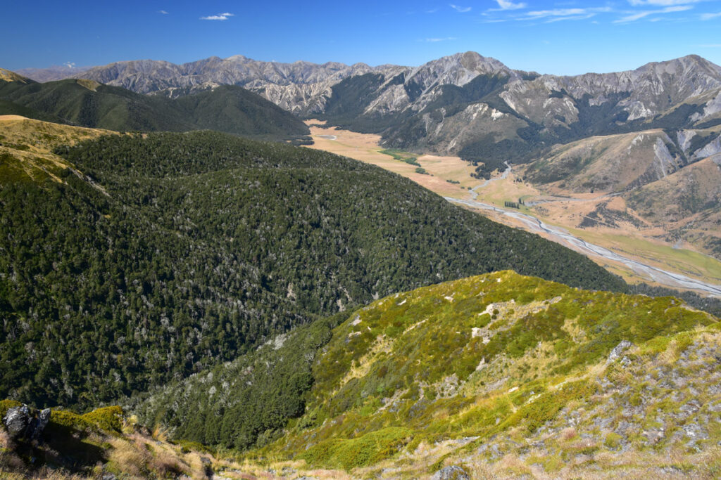
Faust is a 1710 m-tall peak above Boyle Village, a small community 16 km to the south of Lewis Pass where an outdoor education centre locates. Between 2019 and 2024, I hiked to this mountain five times, making it my most-visited hiking destination. (I walked on Bridle Path much more times but that was merely for physical training.)
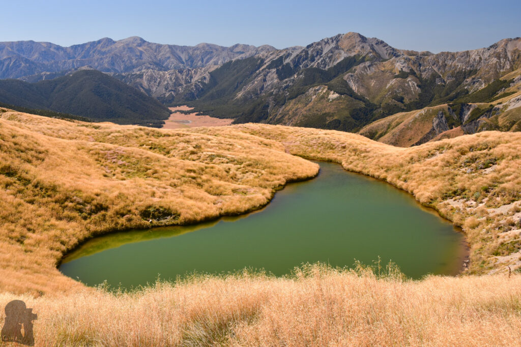
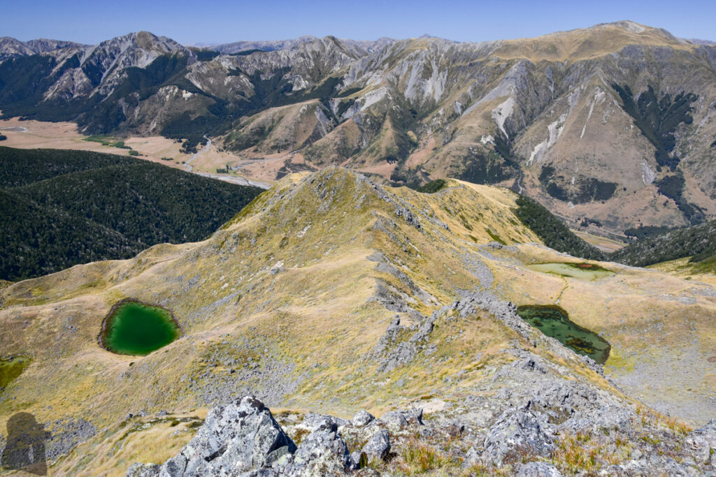
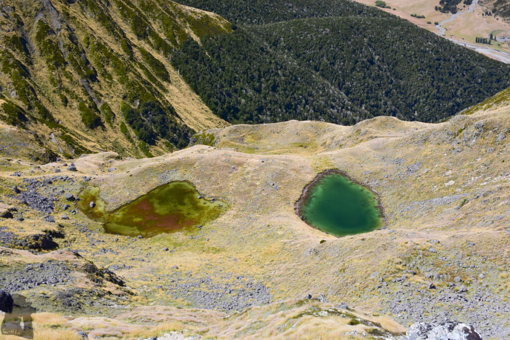
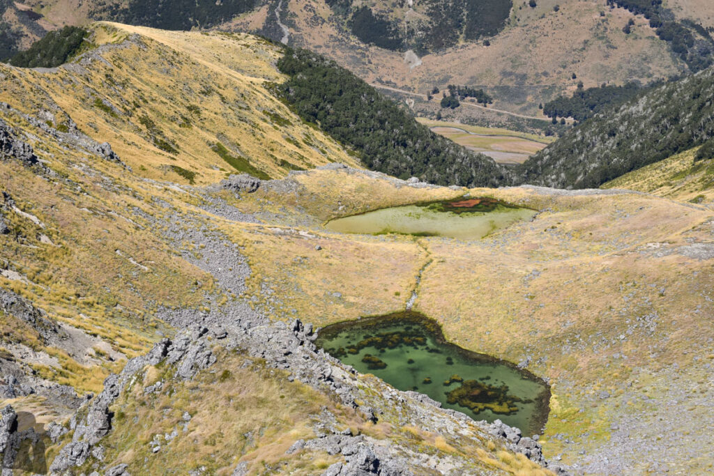
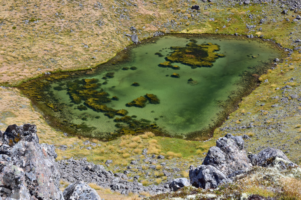
I am fond of hiking trails that feature alpine tarns rather than ascent of many summits, just my personal preference. As a tarn-lover it is hard not to be attracted by the number of the tarns along this trail on the map. The trail to Faust ticks off this important criterion when I choose a hike near Christchurch.
This trail also has something unusual for me. Firstly, it does not have a name on the map and it seems DOC website does not any information about it either. Secondly, there was a route on the older topo map to go beyond the peak of Faust and then descended into the forest until it joined St James Walkway, forming a circuit for a day hike.
This route, the section between Faust and St James Walkway, is gone on the latest topo map, but you may still see it in some trip reports. I attempted to follow the route during my first hike but ended up totally doing bushwhacking as the trail was hard to find. Maybe that was the reason why this route was removed from the map.
The route and navigation
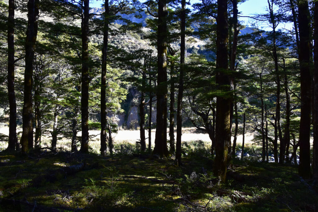
The trail starts at the northern side of the bridge over Boyle River. There is a small space to park by the fence. Walk toward the bridge for a few steps you will see a path and the stile to climb over the fence. Following the trail you will go up to a terrace where the faint trail will lead you into the forest. Once you are in the field inside the forest with some facility for outdoor adventure training, start looking for the trail marker that guides you to a steep but short trail up to a higher terrace. Following the markers you should begin a steady ascent shortly.
On my second hike, my partner and I accidentally deviated from the correct route by entering a pest-control (?) track that did not exist on the map, wasting 40 minute before we returned to the right place. (If you find that you are significantly away from the route on the map, and moving along a contour line without any obvious climb for a while, please do return the same way you come. And track the correct marker and trail again.)
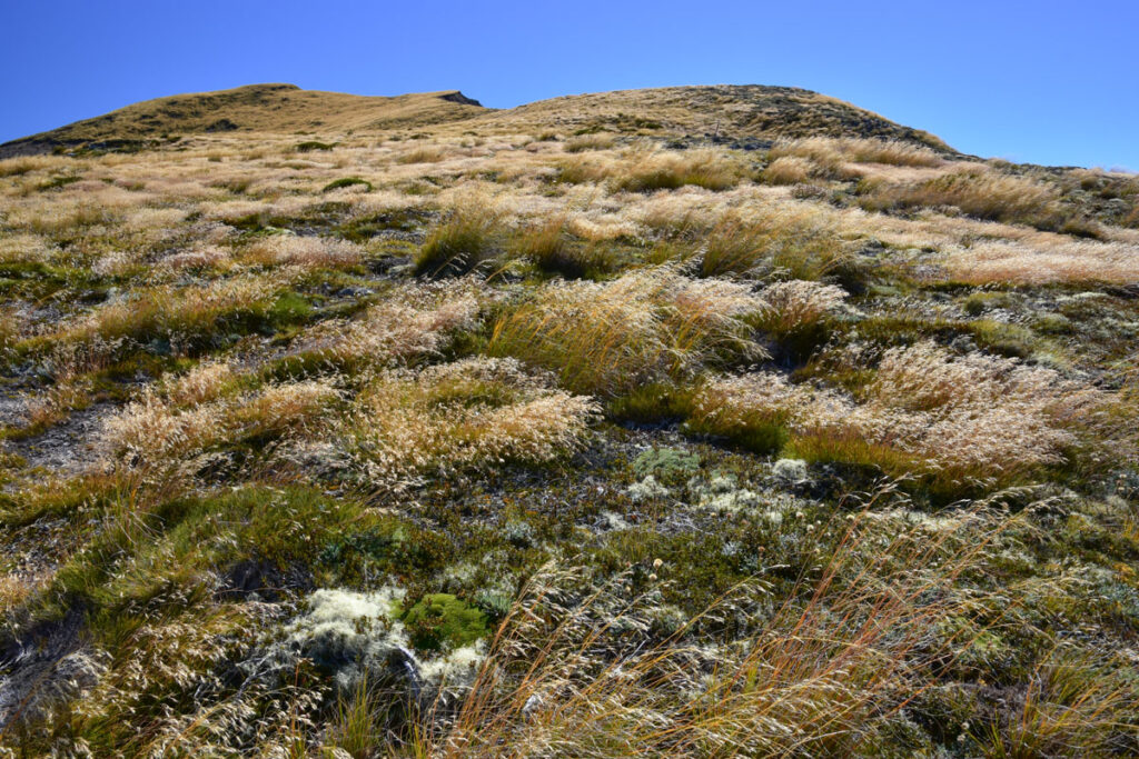
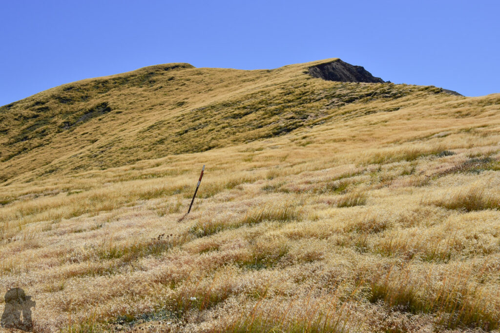
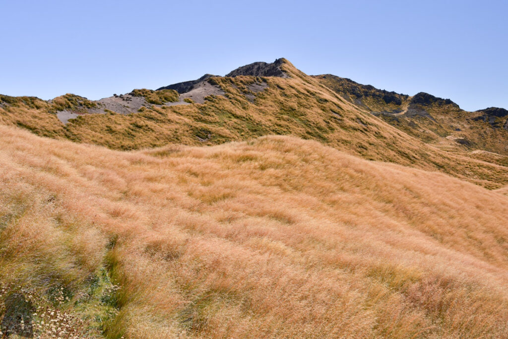
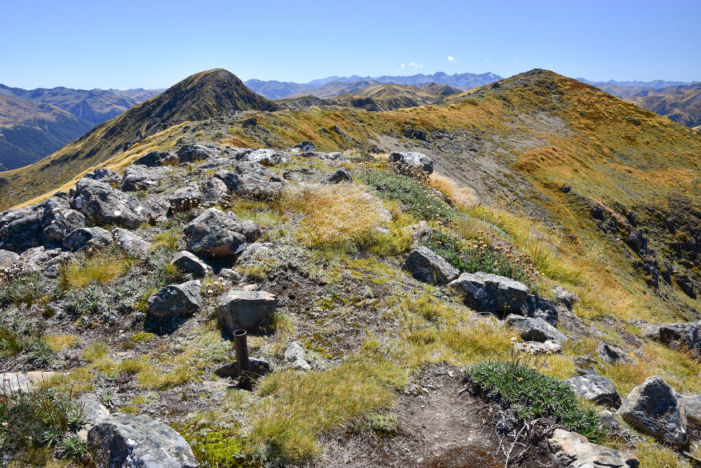
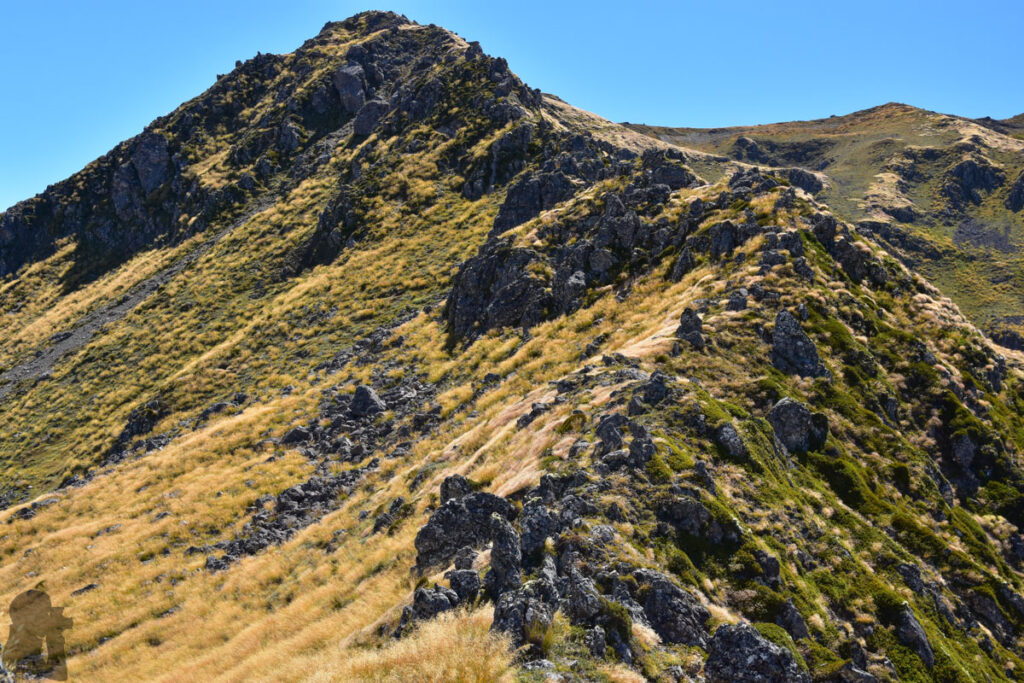
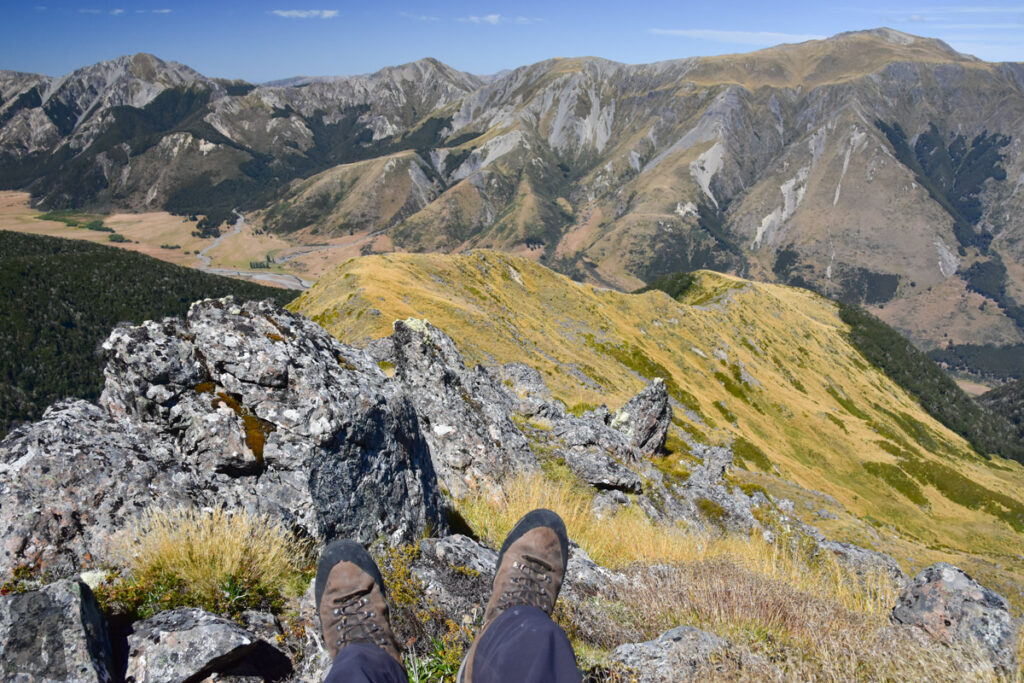
At the bushline there is a small campsite and a tank to hold rainwater. After the bushline, the route is only poled for a distance and the trail is usually overgrown. But the navigation to the summit is not hard, just move on the ridge. After the arrival at the top of Faust, unless you have a plan, otherwise I strongly recommend just returning the same way you come.
Be careful when you are on the way return while descending into the forest from the bushline with a campsite. I found there were more than one strange trails which led to nowhere. Please only follow the marked trail. And if you are on the wrong trail like me (it happened twice on the same hike), please return to the previous location where you are certain it is on the trail and find the trail marker again.
The hike to the summit of Faust is basically free from any dangerous section but an offline topo map and a navigation device is essential in my opinion; they can be handy when the visibility is low after the bushline. The track is not a typical DOC-managed track.
My first hike to Faust
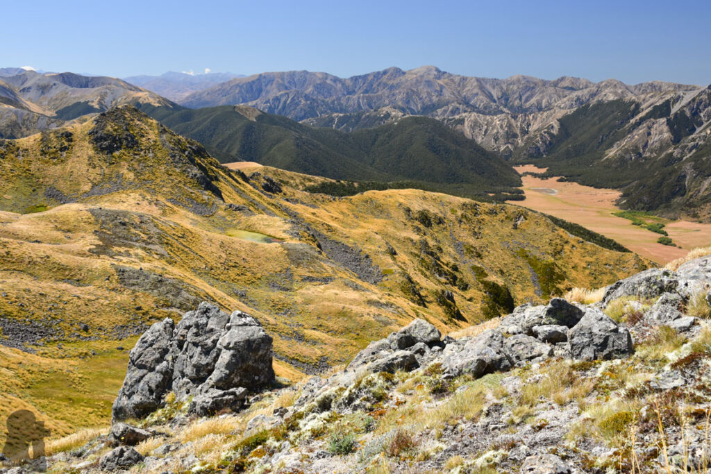
My first hike to Faust was in February 2019. After a short stay at the summit, I descended steeply to Pt 1607 directly and carried on along the ridge to the bushline. This decent required some scrambles.
Even it looked like I had joined the route on that old topo map, I did not see any poles or markers, not even a single cairn either. I walked along the bushline, trying to spot an entrance into the wood. I found a big cairn but once walking into the wood the trail was really faint and overgrown, soon disappeared. I gave up tracking the trail and turned on the beast mode.
I went down via the steepest possible route I could do, heading toward St James Walkway. By holding the trees and shrubs I descended sharply. Thanked for the thick organic cushion on the slope, I was able to break through layer and layer of dense plants safely. It was a big relief when I finally reached St James Walkway with some dirt and debris on me. The last leg of the trip on the Walkway was a breeze. I returned to car park before it was dark.
My fearless descent on the day was actually pretty risky as any bluff may easily stop or even strand me. Anyway it had a happy ending. On the following four trips to Faust I did not try to find the trail to St James Walkway again. It is obvious that once you have gone to that low, most of people would be very reluctant to climb back to the ridge. Probably it is a human’s tendency to omit a mistake even we all realize that is a wrong way.
Photos and notes from other trips to Faust are available in “Faust in Snow” and “Faust’s Tarns.”