The content on this website is published in English. I cannot guarantee the quality of the translated text generated by the plugin of this website. The machine-translated “names” and “terminology” are often inconsistent and/or incorrect. If it looks confusing, please switch back to the English version.

Disclaimer: Information such as the locations or the trails shown on the maps of this website might be inaccurate, misleading or out-of-date. They are only the simple illustration for the ranges of the hiking trails or the points of interest. Please prepare your own navigation device, apps, topo maps, and GPX files for hiking.
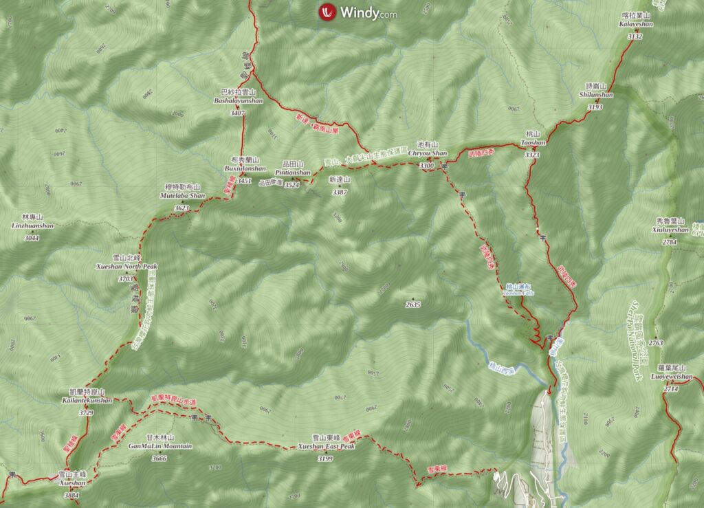
About the Holy Ridge: Shengleng “O” Trail (O聖)
The Difficulty Rating: ★★★★☆
Holy Ridge or Shengleng (聖稜線) is the ridge between Dabajianshan (大霸尖山) and Xueshan (雪山). This term dated back to 1927 when a Japanese mountaineer (沼井鐵太郎) scaled Dabajianshan and was amazed by the magnificence of this southward ridge line. This is the formal Shengleng “I” Trail (I聖).
Holy Ridge is one of the five trails which radiates from Xueshan Main Peak; they are Xueshan West Ridge (West Xue Trail 雪山西稜), Xuejian Trail (雪劍線), Xueshan-Zhijiayang Trail (雪山志佳陽), and Xueshan Trail (via Xueshan East Peak 雪東線). Due to the difficulty, it is not the most visited trail but definitely the most famous one among them.
Shengleng “O” Trail is a circuit (nearly a circuit) that does not pass through the section between Buxiulanshan (布秀蘭山) and Dabajianshan and therefore it is a variant of the traditional “I” Trail.
Hikers can start this “O” trail hike from either the trail head, the Wuling Quadruple Mountains (武陵四秀) or the Xueshan’s trail head, both are inside Wuling Farm (武陵農場), making the arrangement of transportation much easier than the hike for the “I” Trail.
The standard schedule of this hike takes four days (trail runners would disagree as they only need one day!)
I had this hike in June, 2010 while I was a novice. My girl friend (still my current partner ♥) and I joined a group hike which was led by a guide who just started this career not long before this trip. He was also a senior volunteer of Shei-Pa National Park, super knowledgeable and experienced in all aspects of the trails and hiking. I am hoping his company could shift a proportion of their oversea operations back to Taiwan someday.
We traveled in the counterclockwise direction, ascending Chiyoushan (池有山) first. I was energetic on the first day but felt mild headache on the next two days, a possible symptom from altitude illness. I was so exhausted to take any photos on the third day when we were approaching Kailantekunshan North Peak (凱蘭特崑山北峰).
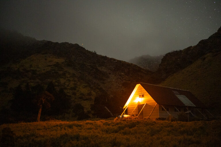
My stamina seemed returned once we arrived 369 Cabin (Saliujiu Cabin 三六九山莊), but I was weakened again by the unforgiving sunshine which seriously drained me on the last day of the trip. But overall this was a very rewarding hike despite some discomfort.

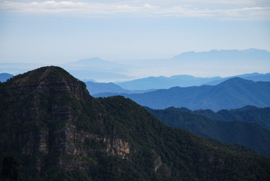
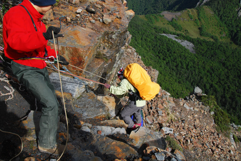
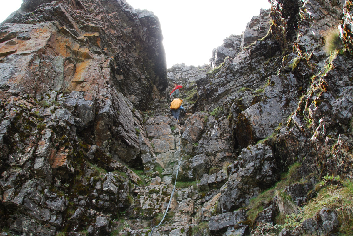
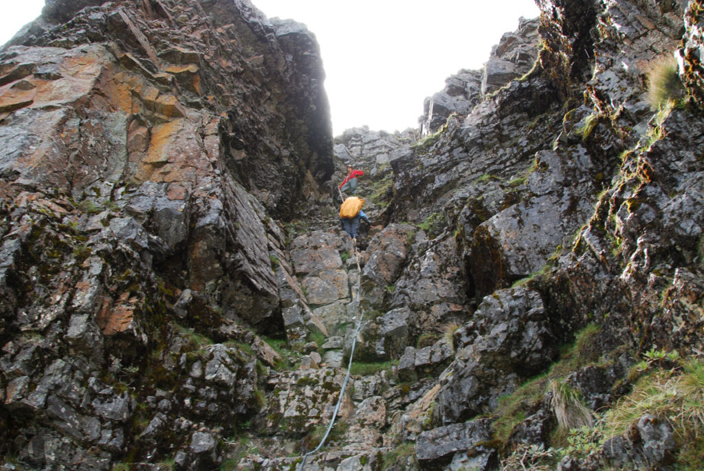
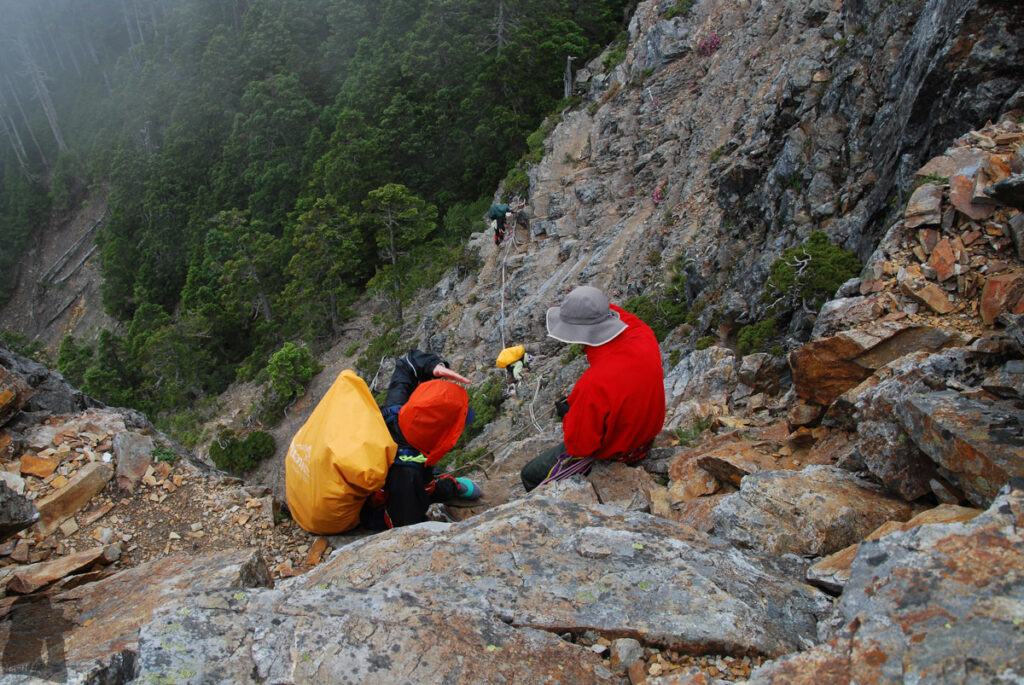
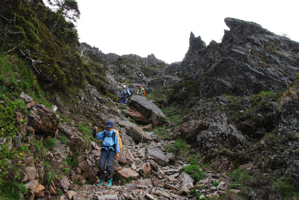
This cliff has three layers, two of the descents are several story high, nearly vertical. Though there were fixed ropes onsite, our guide still installed our own rope to rappel down. The footholds were not obviously seen when looking down, which was tricky to scramble; strong arms were required when not certain if I stepped on a solid foothold or not. Anyway once this bottleneck section finished, the rest of the hike became relatively smooth.

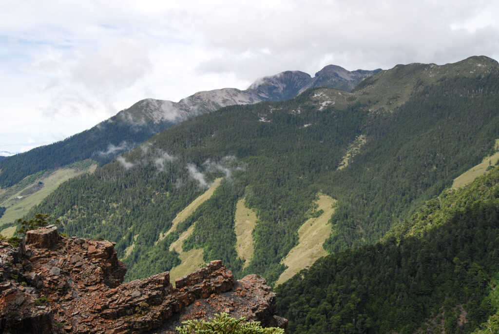
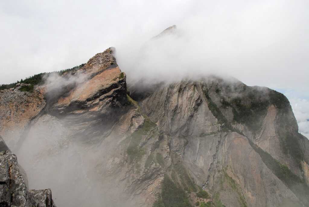
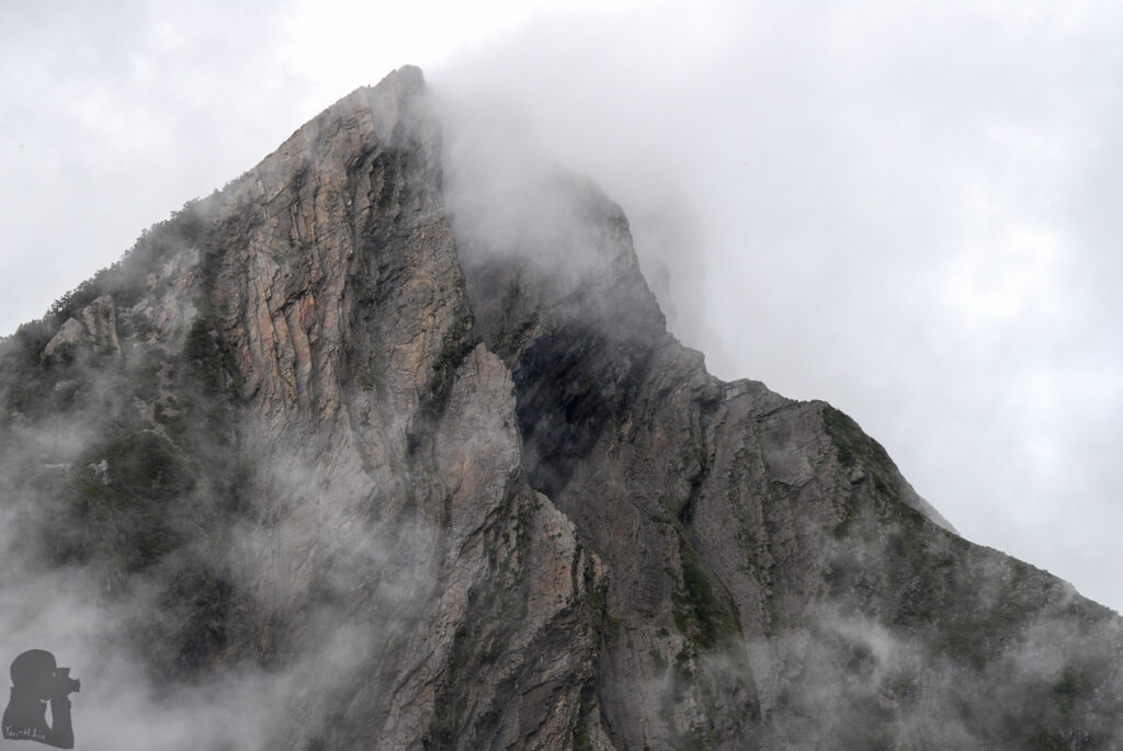
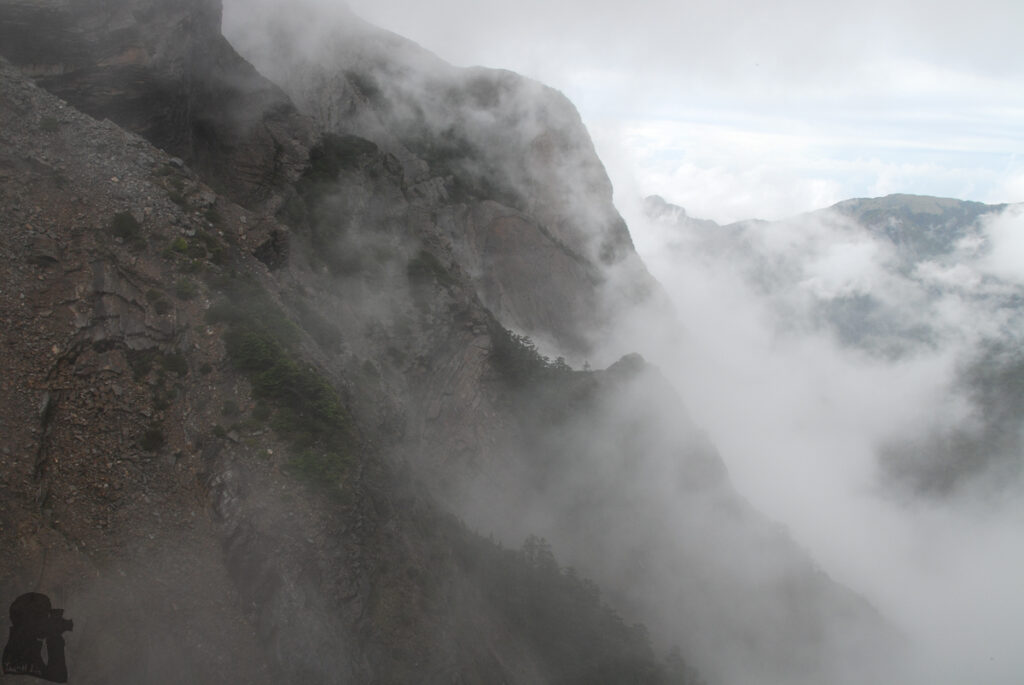
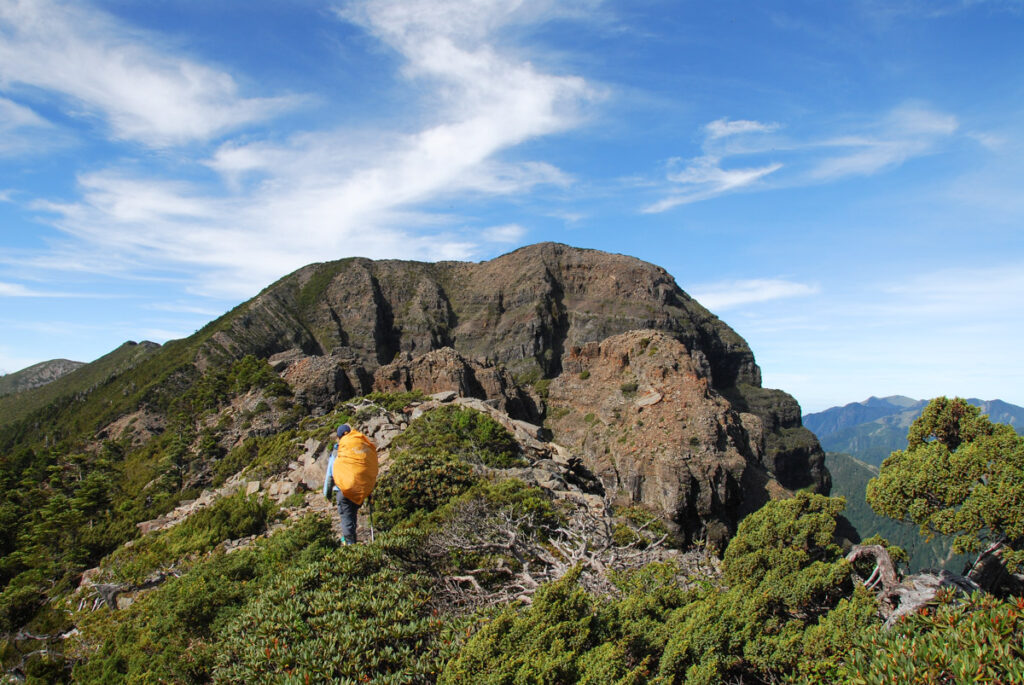
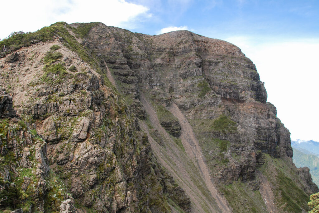
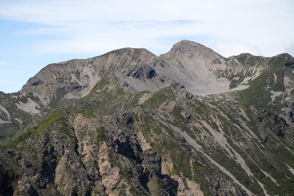
The No. 2 Cirque (the bowl-like valley closer to the viewer) and No. 1 Cirque of Xueshan were possibly formed during the glaciation tens of thousands years ago. Regardless of the scientific evidence to support the theory, imaging these two tremendous relics as the legacy of past glaciation is so romantic to me as a tropical islander.