The content on this website is published in English. I cannot guarantee the quality of the translated text generated by the plugin of this website. The machine-translated “names” and “terminology” are often inconsistent and/or incorrect. If it looks confusing, please switch back to the English version.
Disclaimer: Information such as the locations or the trails shown on the maps of this website might be inaccurate, misleading or out-of-date. They are only the simple illustration for the ranges of the hiking trails or the points of interest. Please prepare your own navigation device, apps, topo maps, and GPX files for hiking.
About Xueshan – Zhijiayang Trail
The Difficulty Rating: ★★★⯪☆3.5
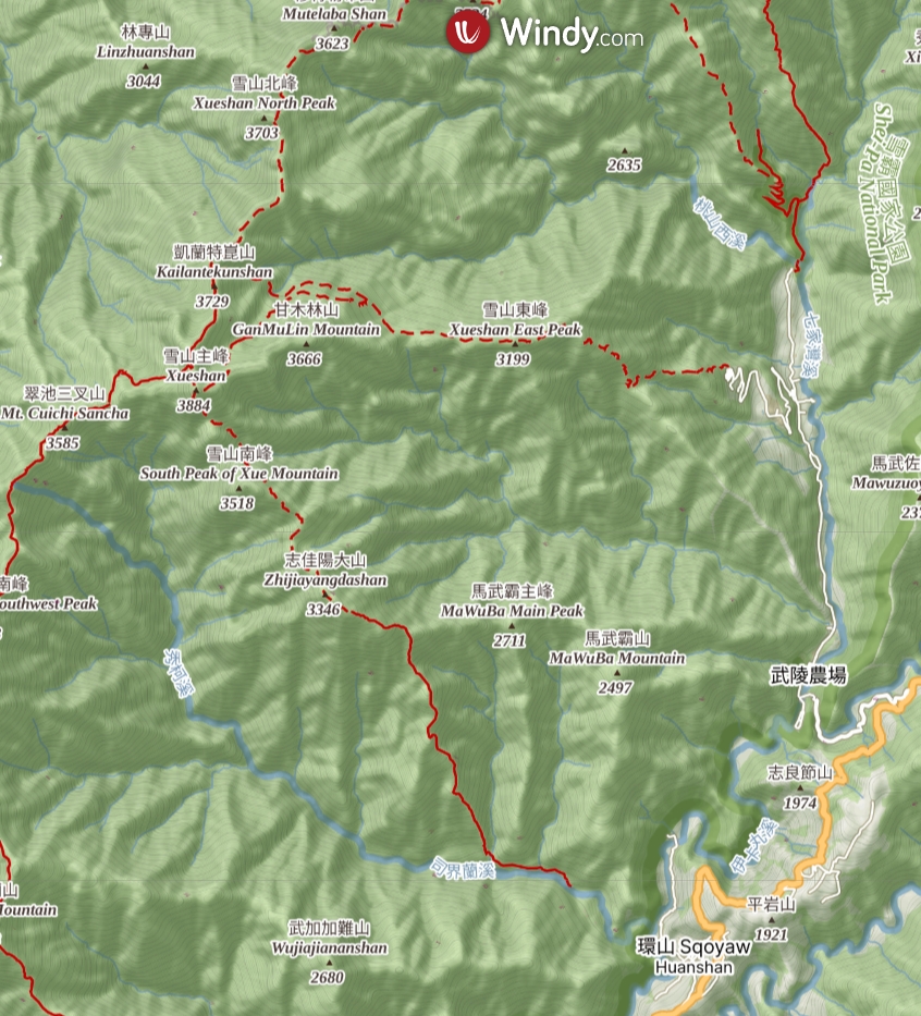
Xueshan-Zhijiayang Trail (or Zhijiayang -Xue Mountain Trail 雪山志佳陽) is one the five hiking trails that radiates from the main peak of Xueshan, the second tallest mountain in Taiwan. Among these point-to-point hikes passing the summit of Xueshan, this trail is the shortest one (but might not be the easiest one).
The most common route to complete the full length of the hike starts from the trail head in Wuling Farm (武陵農場). You will reach Xueshan via a popular trail, Xue Mountain Trail (雪東線), and then move toward its south ridge, where the Zhijiayangdashan (志佳陽大山) is located. The trail after Xueshan mainly goes downhill until finishing the hike in Huanshan (環山).
Although hiking in opposite direction (from Zhijiayangdashan toward Xueshan) is possible, but there will be a nearly 1600 m net altitude gain to reach Piaodan Hut (瓢簞避難山屋) on the first day from the trail head in Huanshan, which can be overwhelming for many hikers. Interestingly Zhijiayangdashan was along the main route to climb Xueshan between the late 1950s and early 1970s, a tough direction that hikers nowadays may try to avoid. (The return hike only to Zhijiayangdashan (志佳陽大山) from Huanshan is still a common option today as a serious fitness training, or just for the convenience of transportation (to and from the trail head), or for a more straightforward hike to climb this Baiyue mountain.)
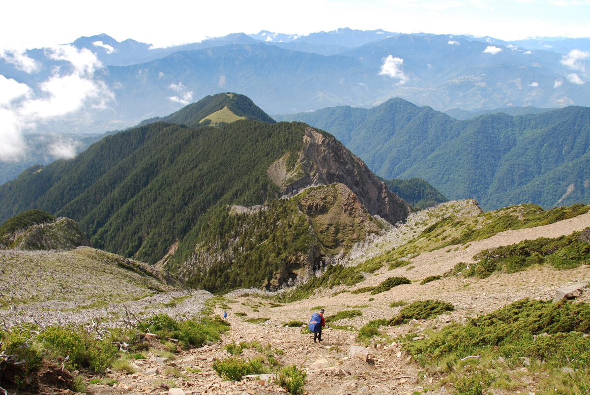
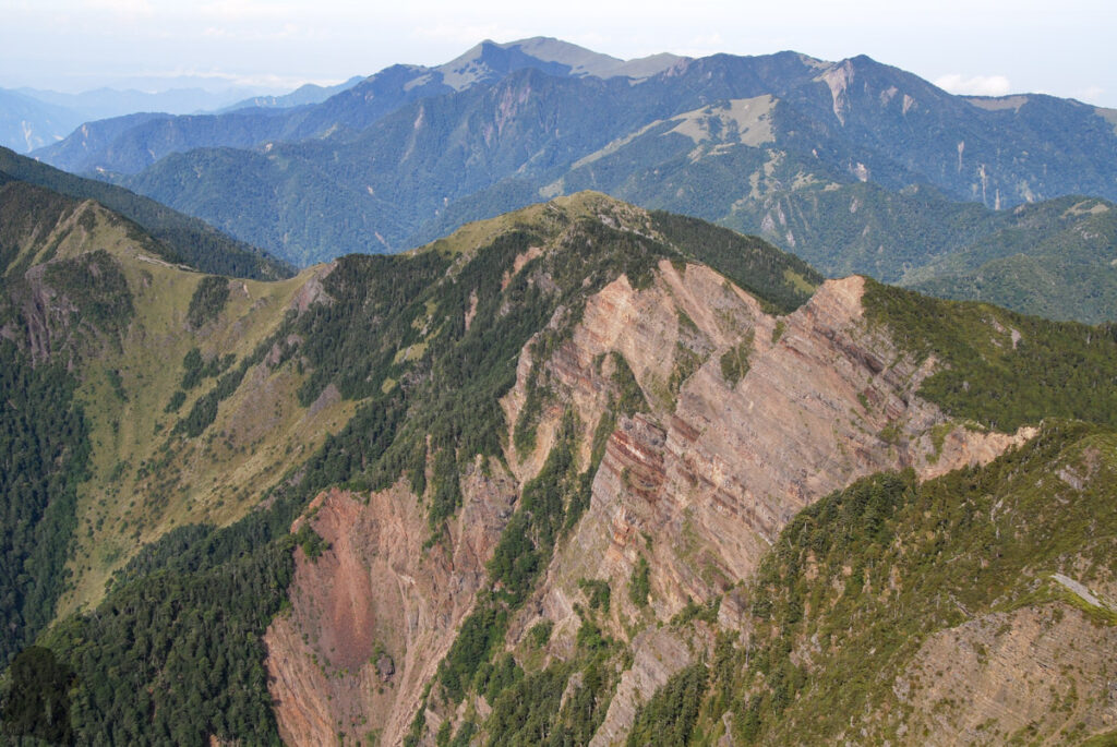
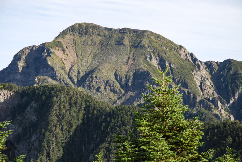
My partner organized this 3-day hike in the summer of 2010. Three members of her university hiking club and one of our colleagues joined the team. I was a novice during that time, being privileged to just follow other experienced teammates. We were blessed to have fine days for most of the time, especially the moment on the top of Xueshan, which was the only time I saw a blue sky there. I remembered the most challenging part was on the second day, particularly the first section descending from Xueshan, which needed some navigation and route-finding to move correctly on the southern ridge.
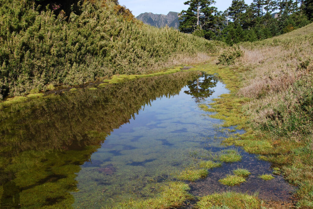
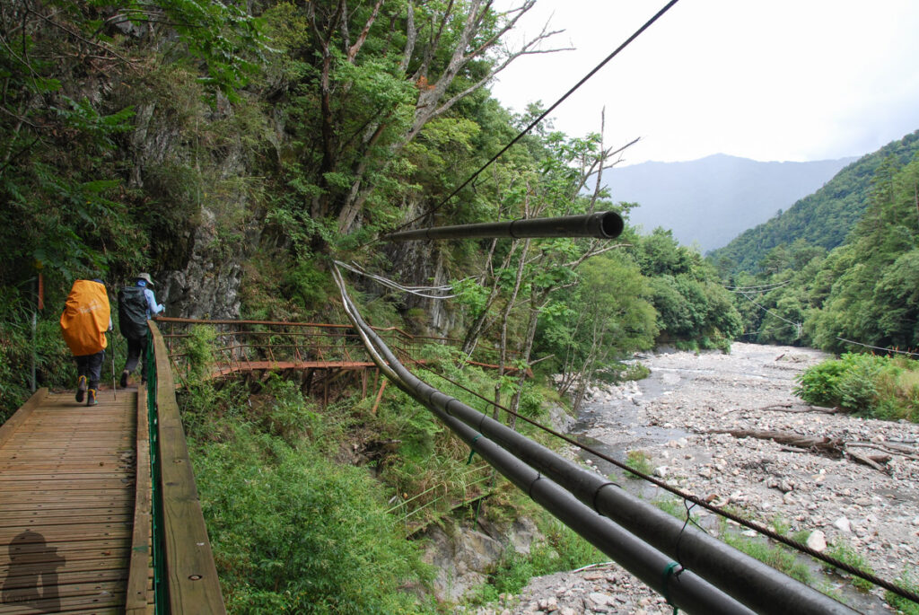
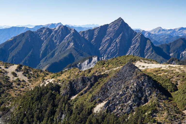
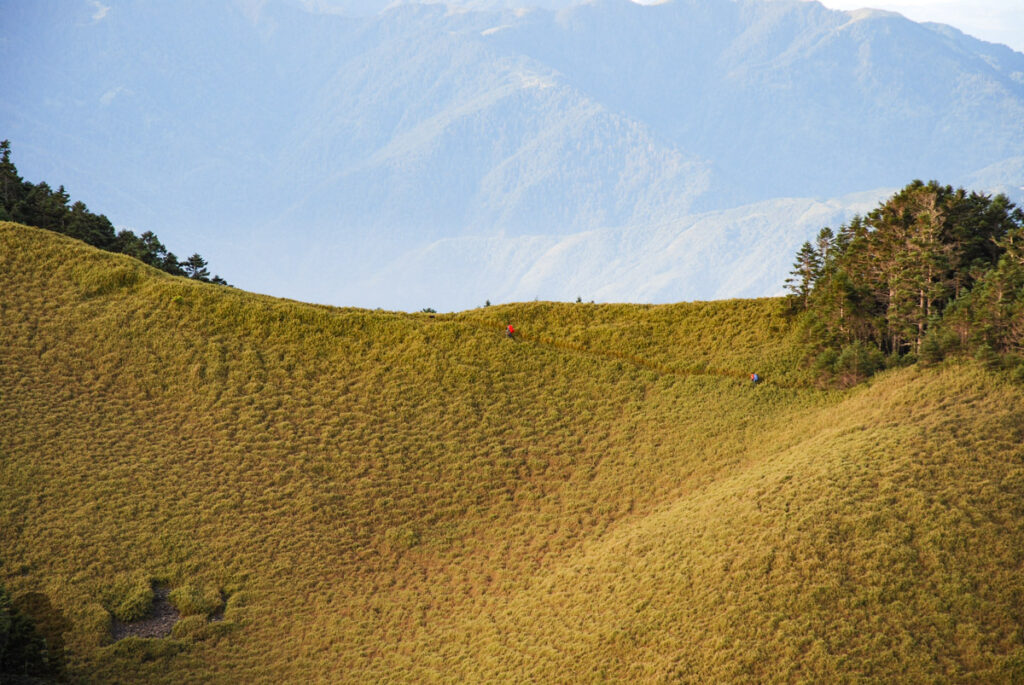
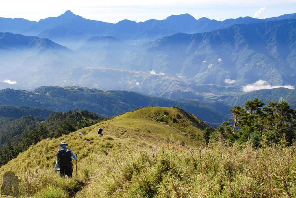
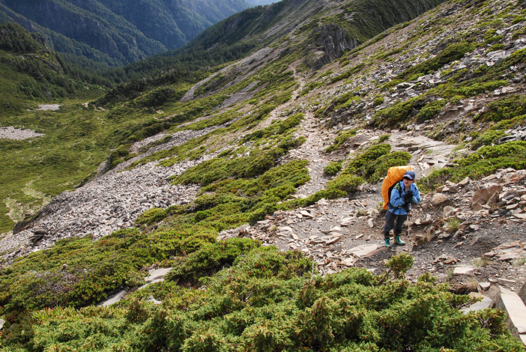
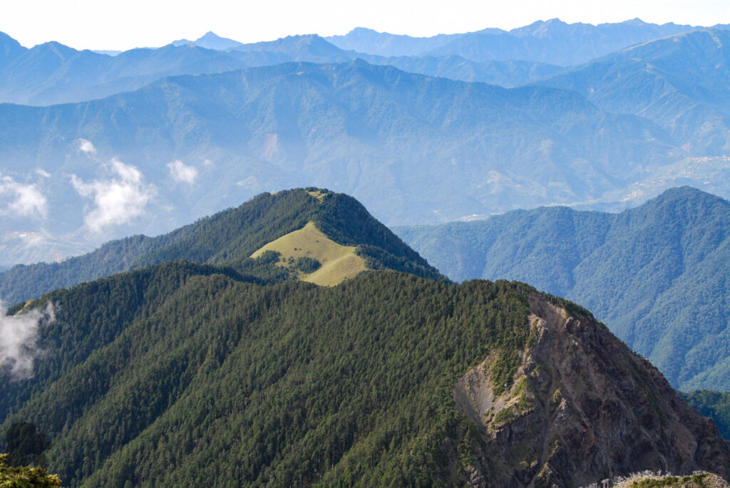
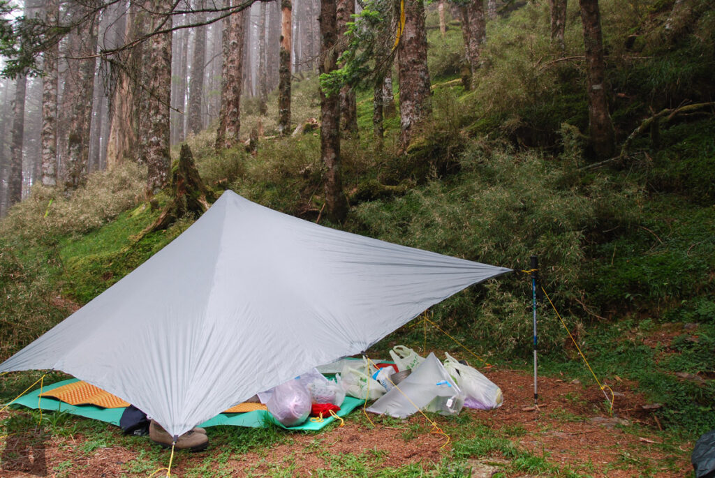
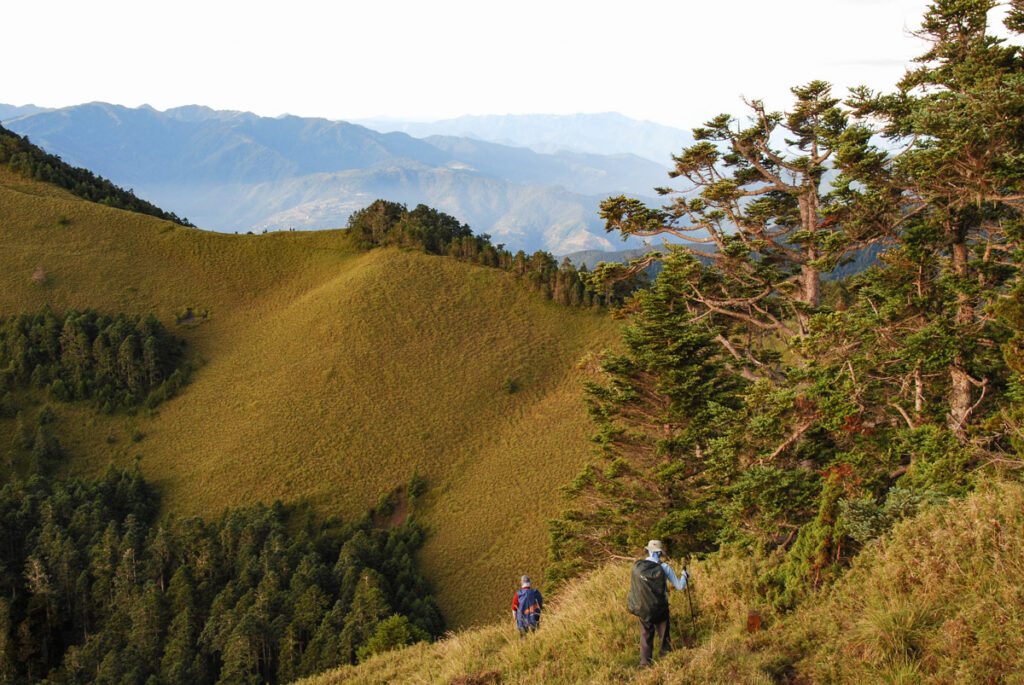
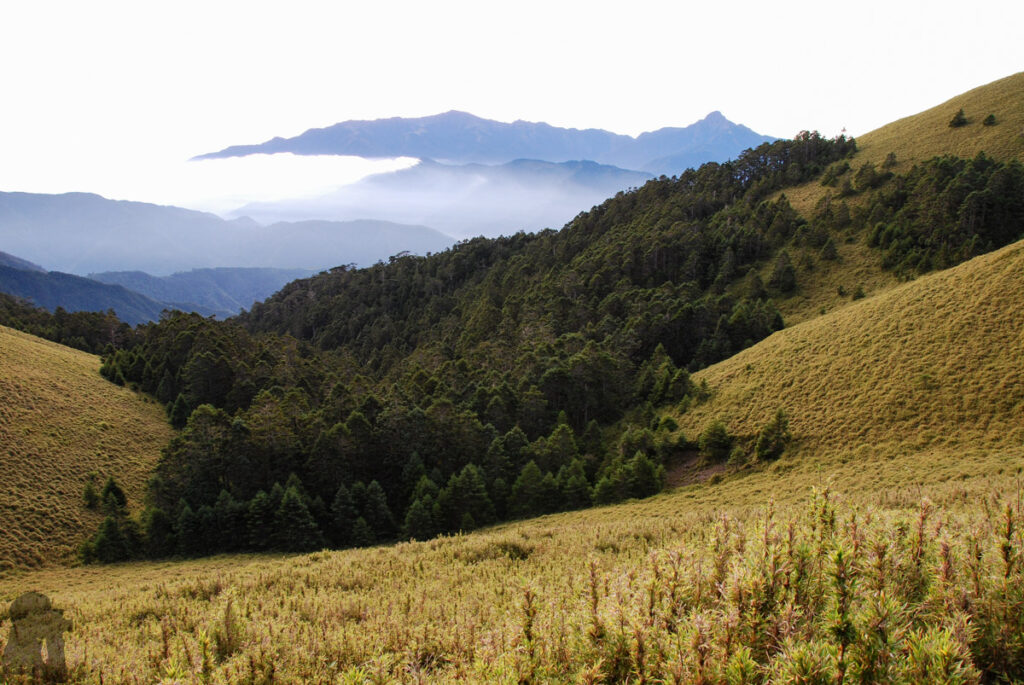
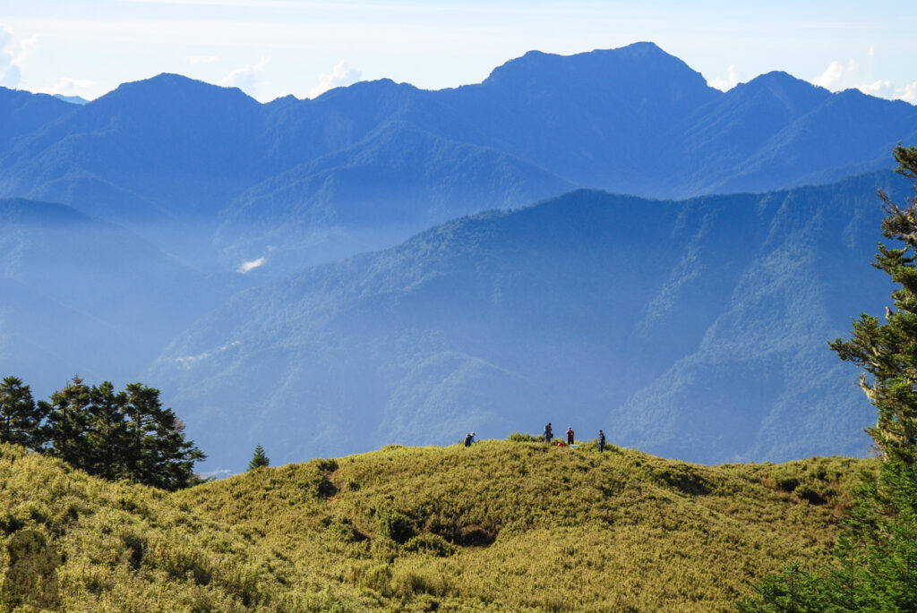
The scenery was awesome throughout the hike, but the unique highlights would be between Xueshan and Piaodan Pond (瓢簞池). Further below from there was a long and tiring descent, probably the flattest part of the trip. The only thing not so perfect was my poor appetite on the second day while camping at the former site of Xue Mountain Cabin (雪山山莊舊址), likely a symptom of altitude illness. Under the afternoon thunder rain I tried to force myself to swallow some food as much as I could, not a pleasant memory.
Although so many years passed since the hike and my memory might be out-of-date, I think Xueshan – Zhijiayang Trail is for experienced hikers, even it is a relatively short trail. A navigation device with offline topo map and GPX files should be helpful whenever the trail is hard to follow or the visibility is low.
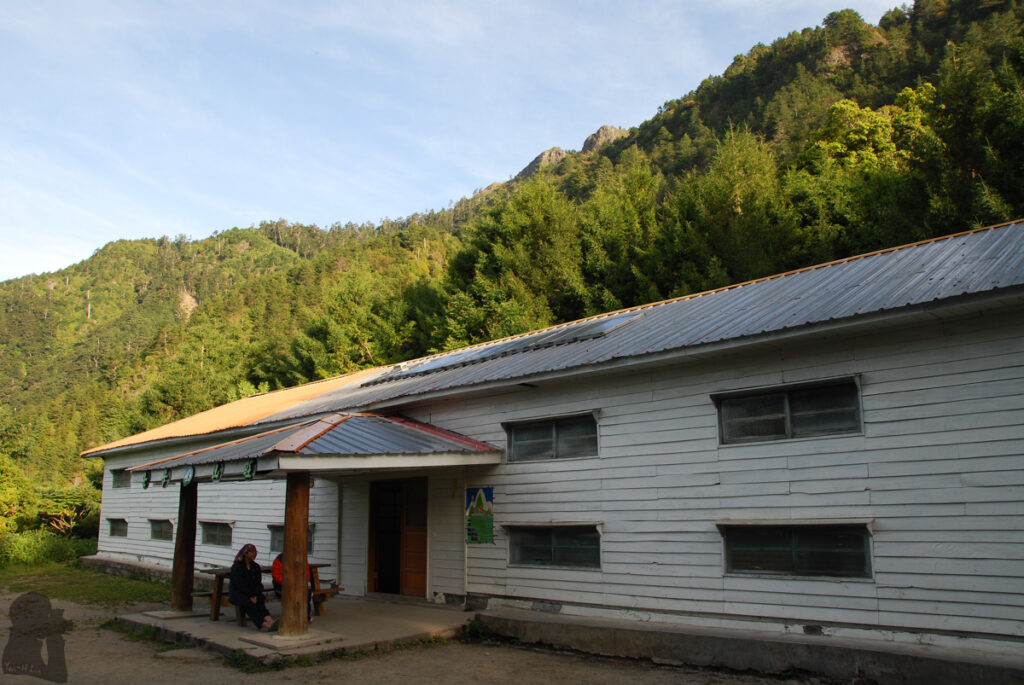
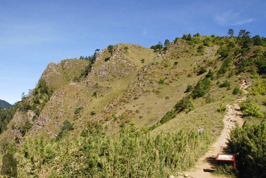
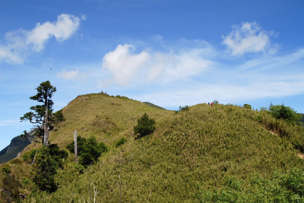
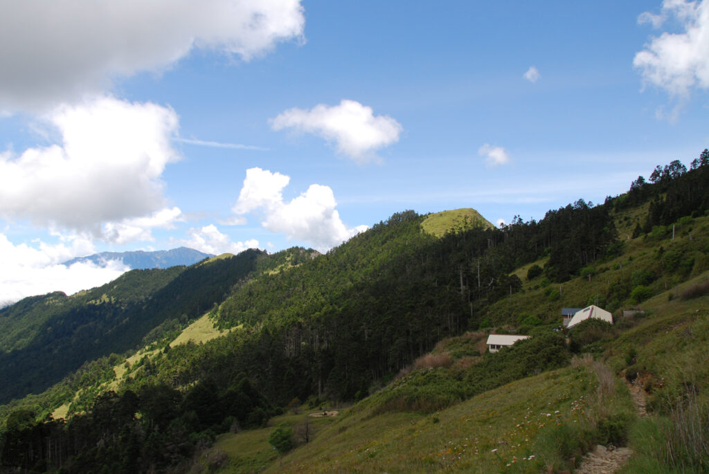
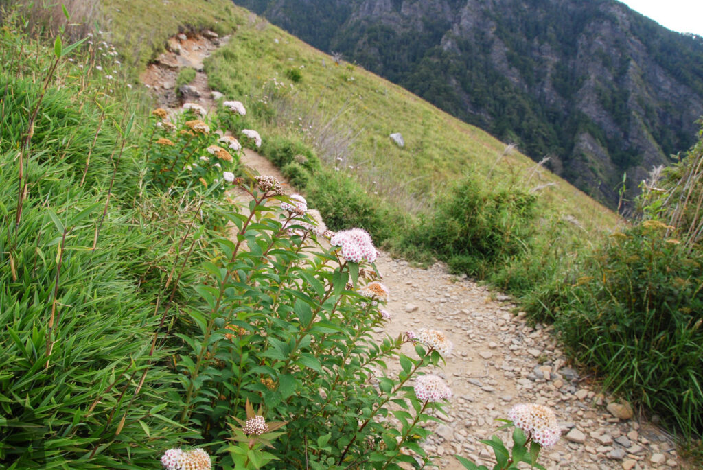
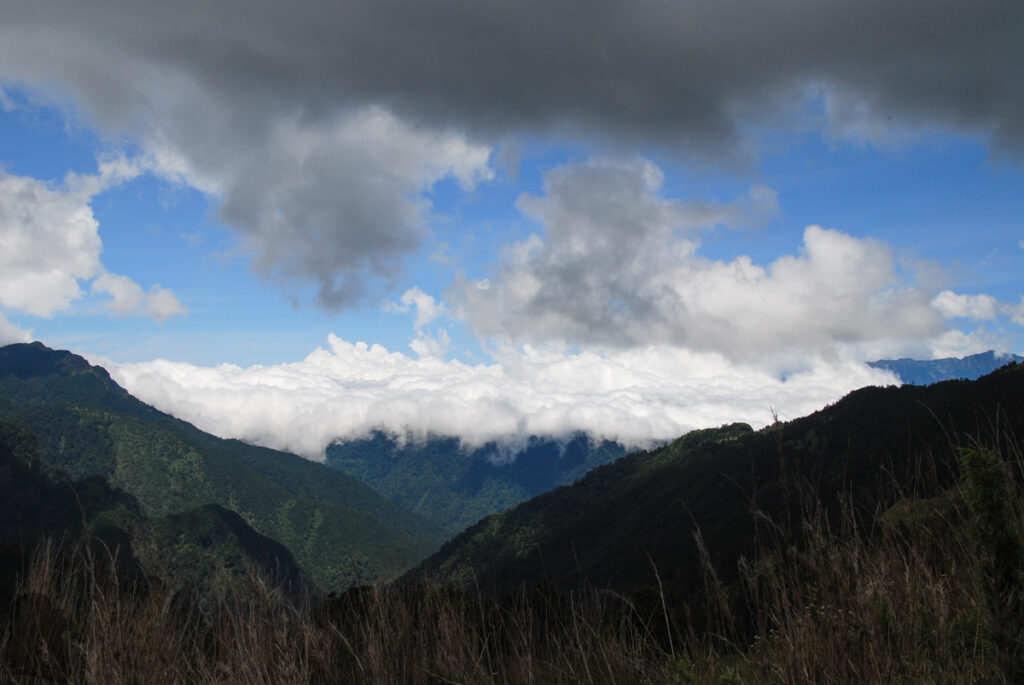
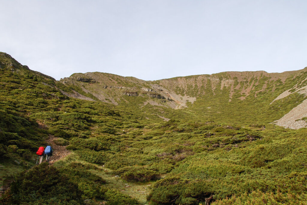
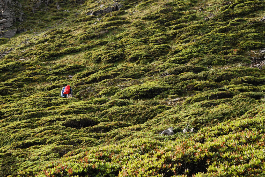
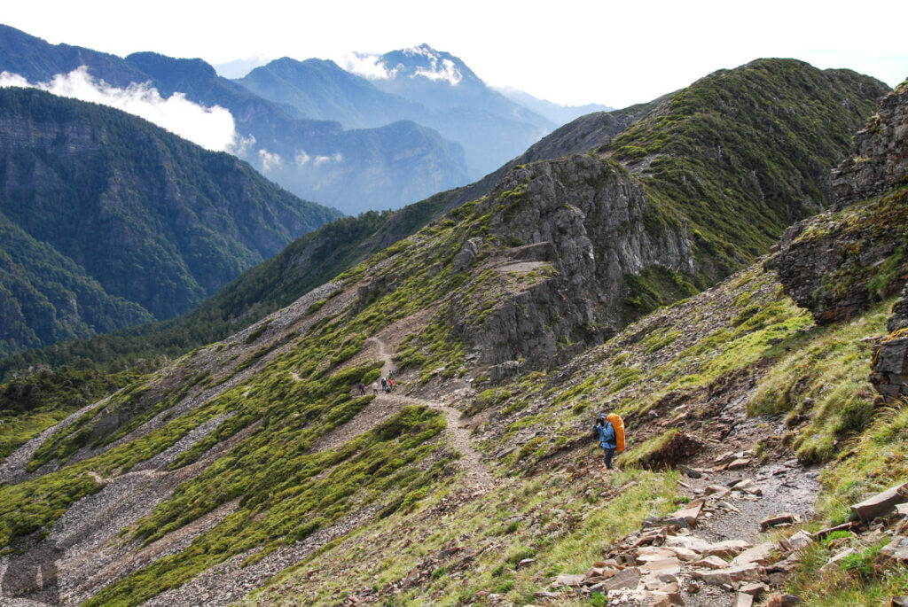
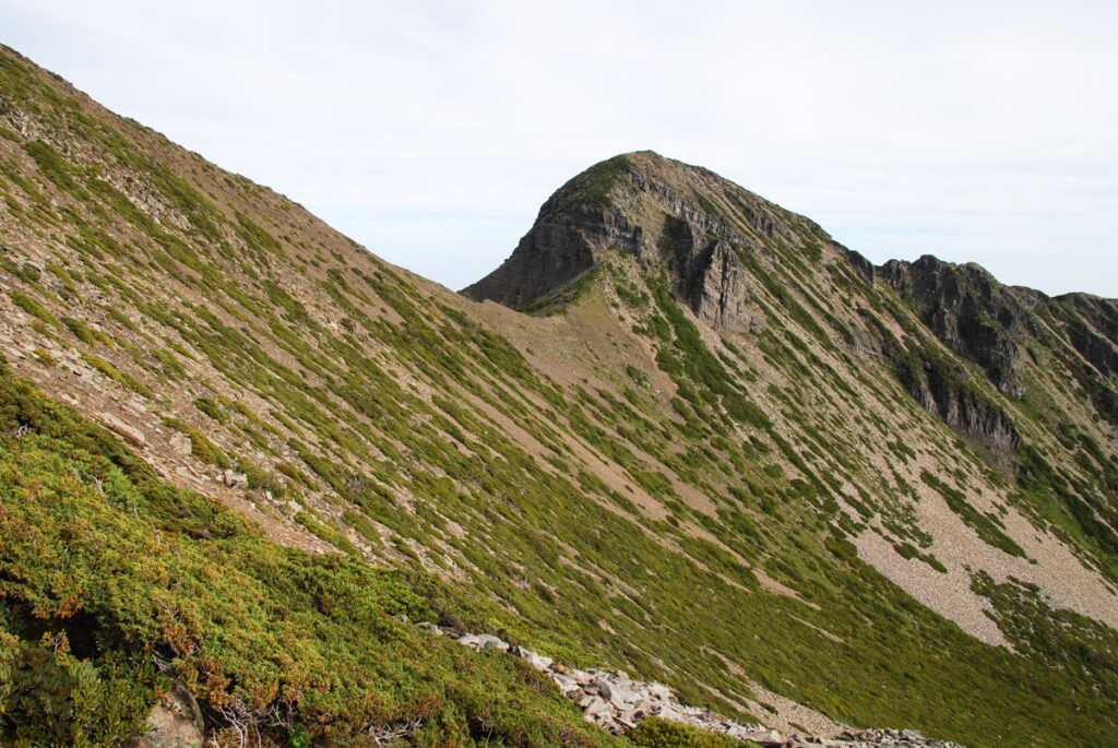
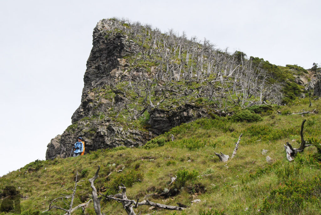
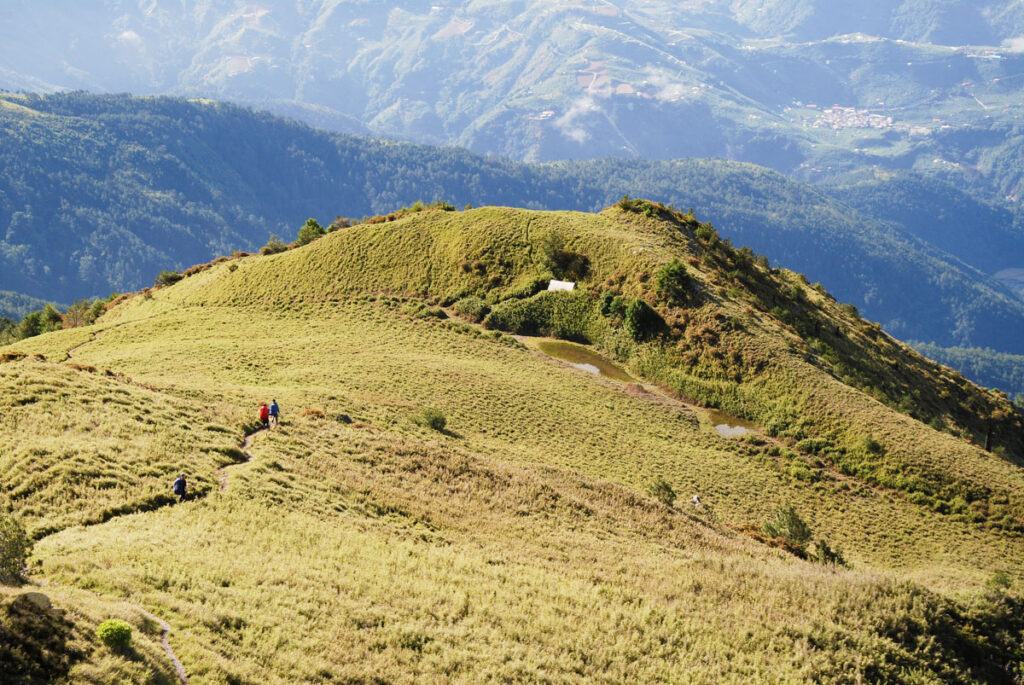
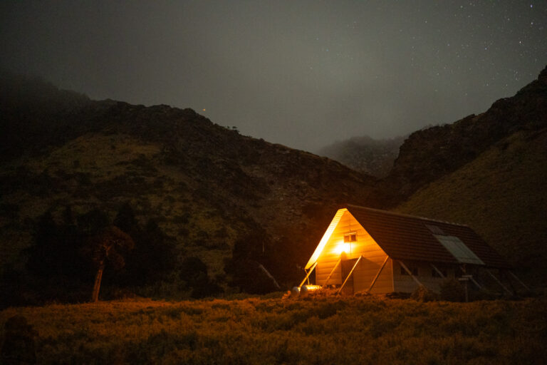
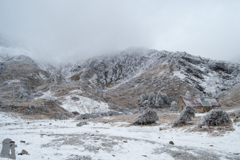
I just realized that hut was hidden inside the bush 15 years after the photo was taken though I have seen this photo so many times. I was not even aware of that hut when I was taking photos only several meters away. Based on some research, that old hut was very humble and broken. The brand new Piaodan Hut is there now, open to the public since 2023.