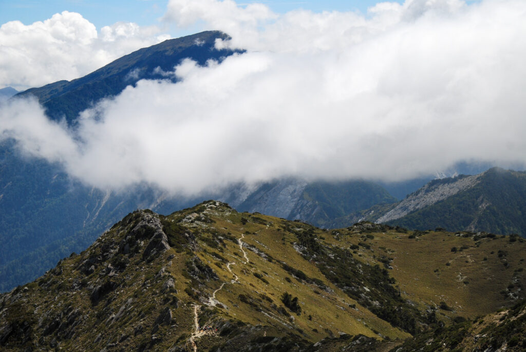
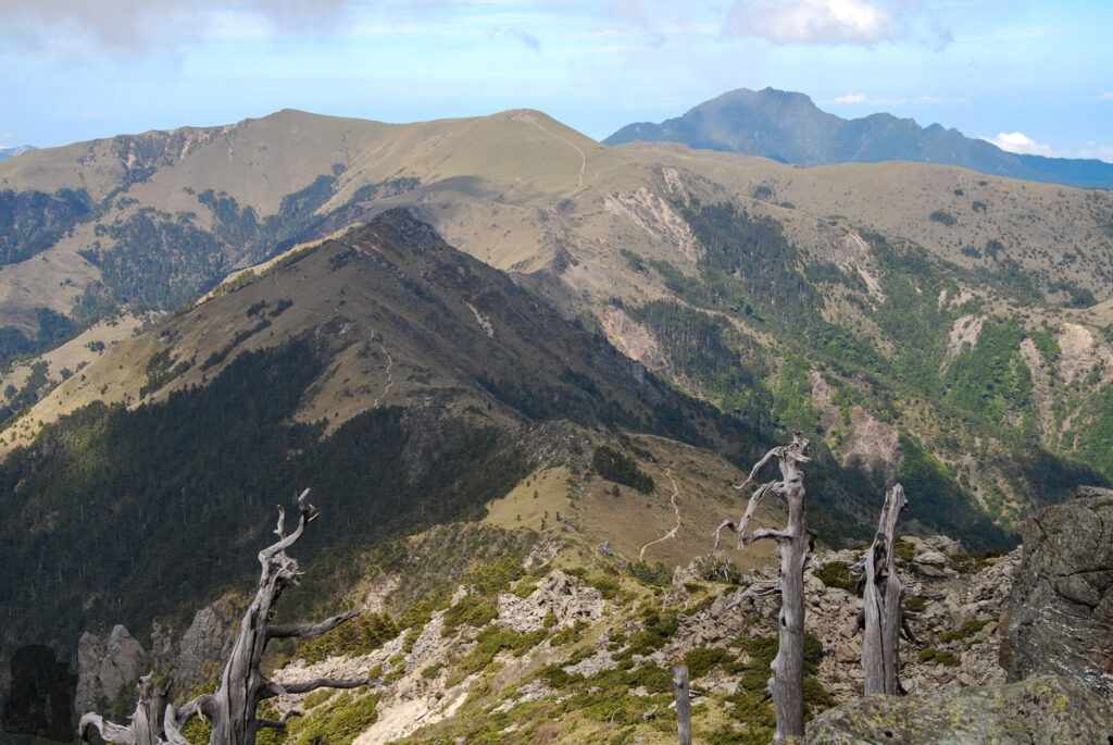
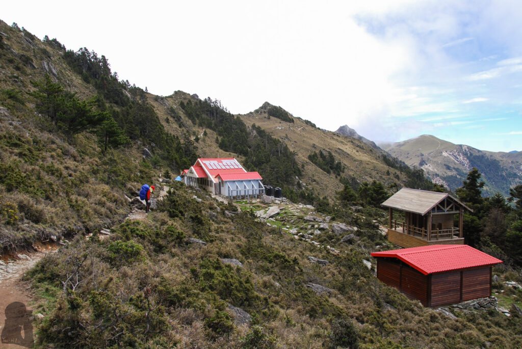
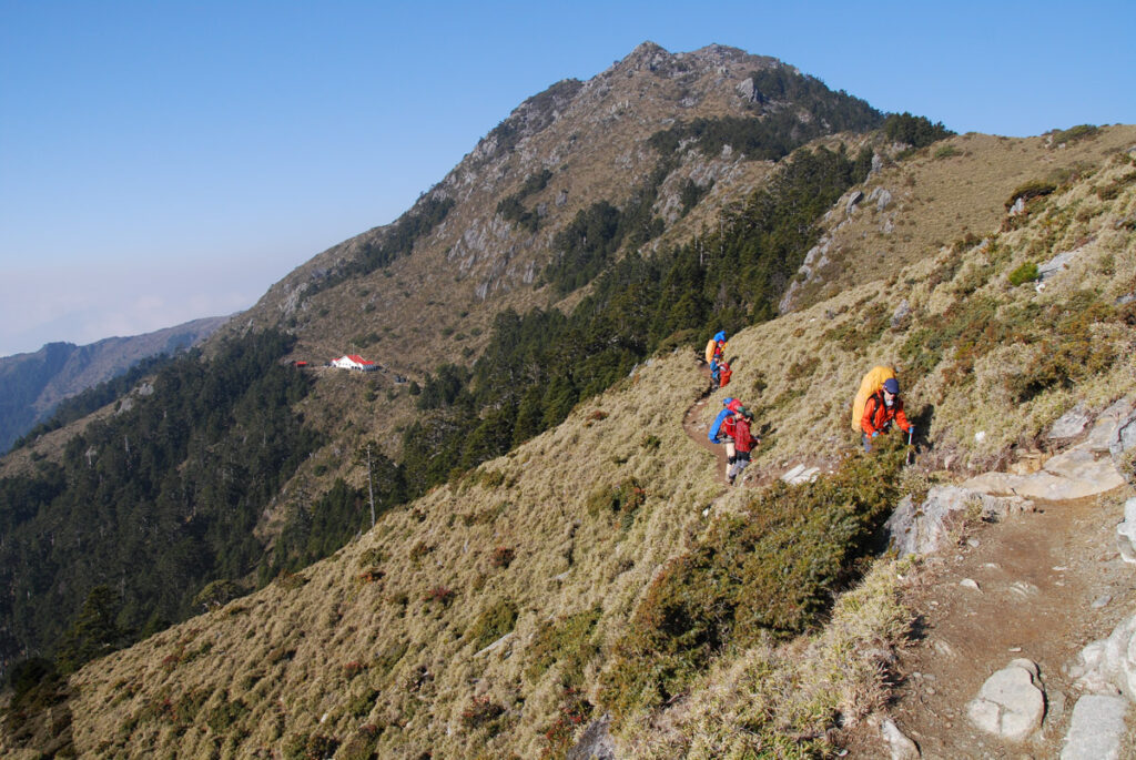
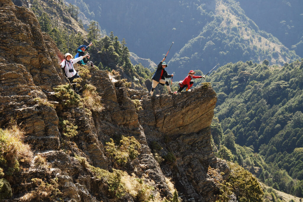
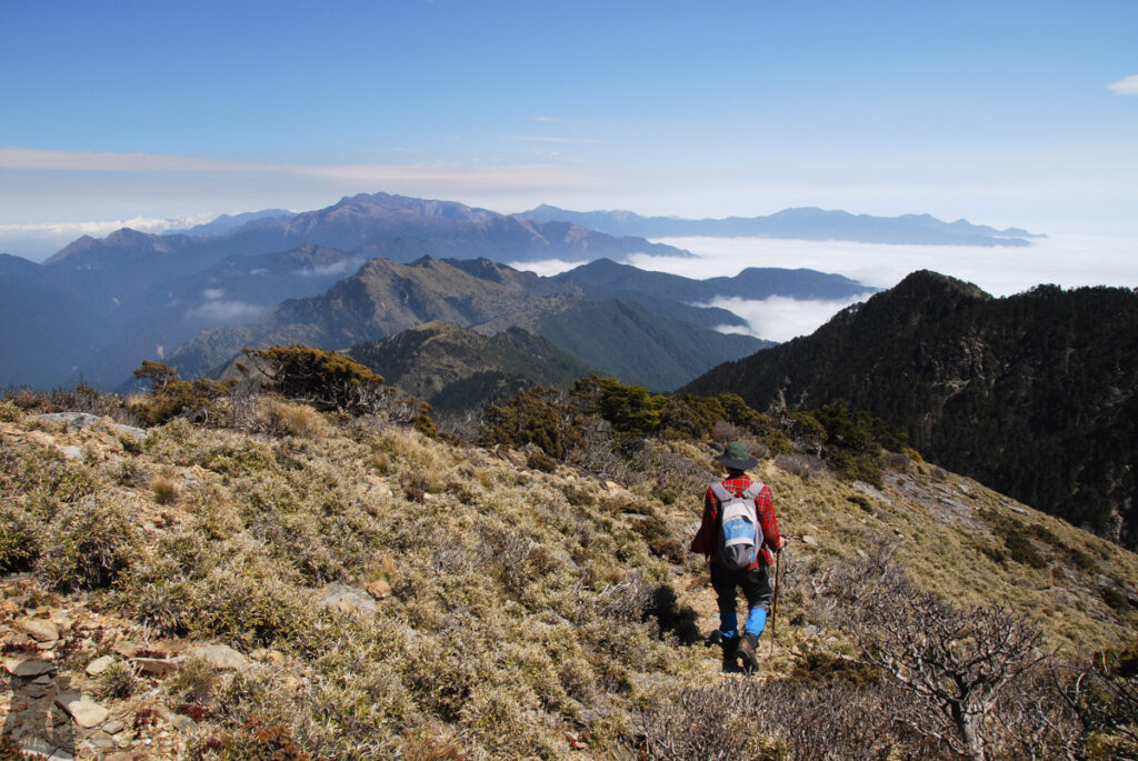
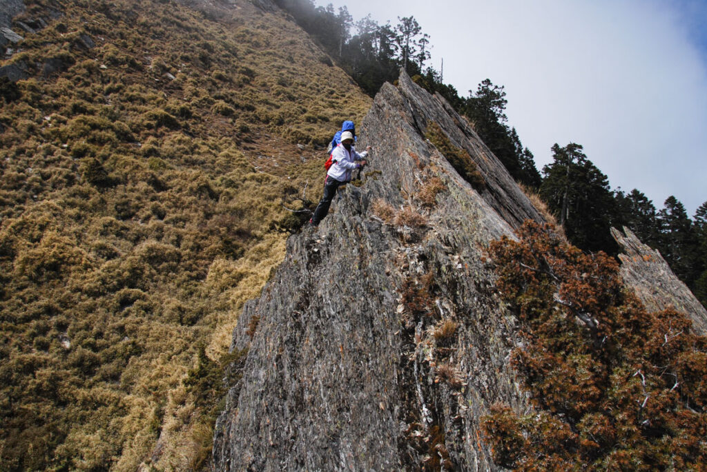
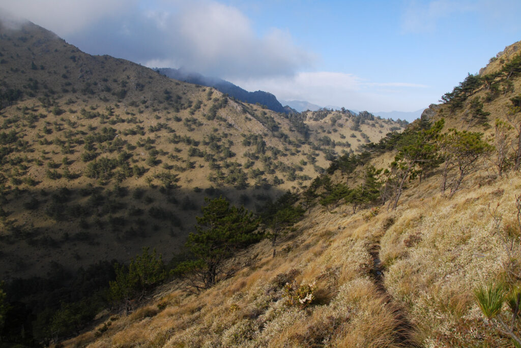
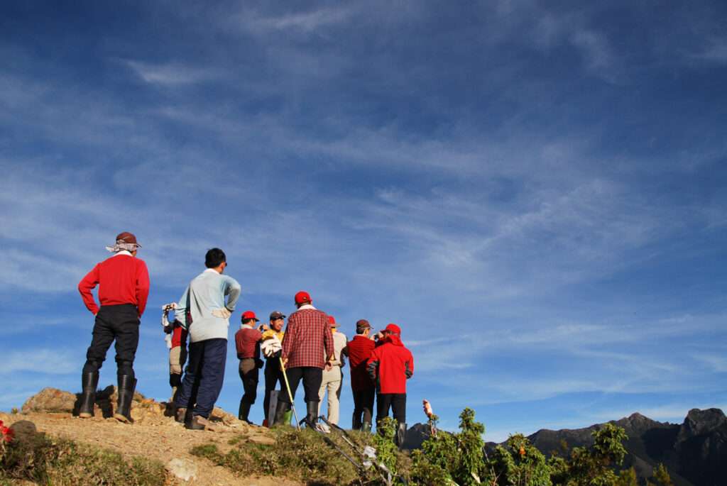
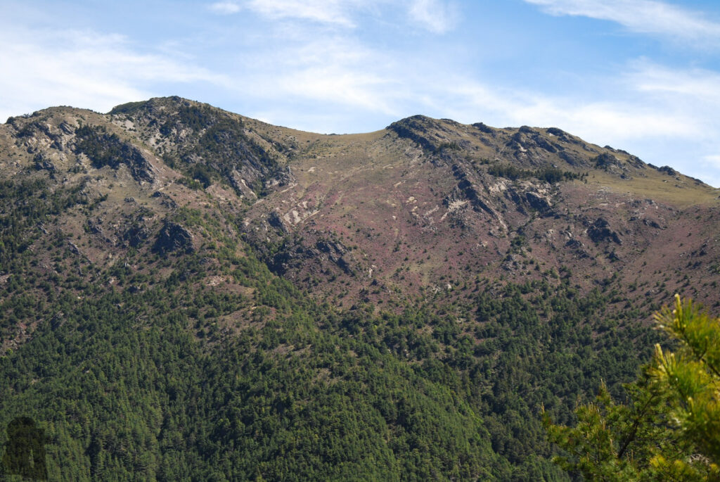
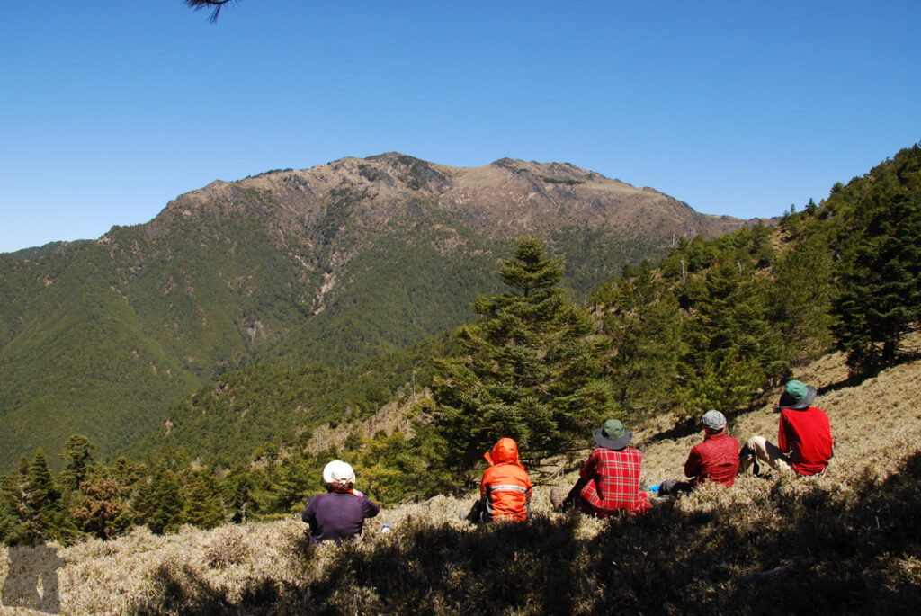
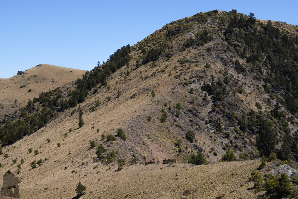
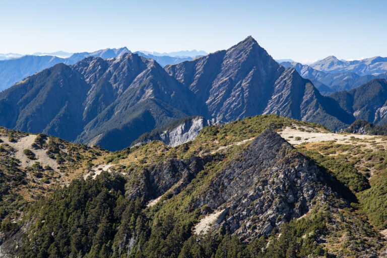
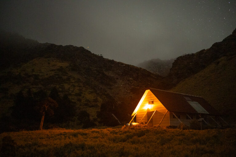
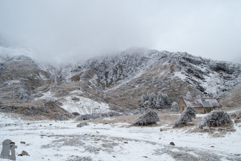
South Section 2 (南二段), the Alpine Traverse that is Never Short of Highlights
The content on this website is published in English. I cannot guarantee the quality of the translated text generated by the plugin of this website. The machine-translated “names” and “terminology” are often inconsistent and/or incorrect. If it looks confusing, please switch back to the English version.
Disclaimer: Information such as the locations or the trails shown on the maps of this website might be inaccurate, misleading or out-of-date. They are only the simple illustration for the ranges of the hiking trails or the points of interest. Please prepare your own navigation device, apps, topo maps, and GPX files for hiking.
Source: windy.com
About the South Section 2, and why it is a highly praised trail
South Section 2, Central Mountain Range (南二段) is an alpine trail that crosses nine Baiyue mountains between the trail heads at Xiangyang (向陽) and Dongpu (東埔). This trail is to the north of South Section 1 (南一段). On the other side it is to the south of Mabolasih Trail (馬博橫斷), but both trails share the western section of Batongguan Traversing Trail (八通關古道).
South Section 2 is probably the most popular hiking trail among the trails in Taiwan that require more than 5 days to complete (for an ordinary hiker). There are a couple of reasons that make this trail so attractive and also important to hikers. Firstly the trail between Xiangyang and Jiaming Lake (嘉明湖) is one of the busiest alpine tracks in Taiwan where you can expect any obstacle on the way being removed quickly. The trail beyond Sanchashan (三叉山) is within Yushan National Park, meaning the tracks and signs are regularly inspected and maintained;
Secondly, this is the longest trail in Taiwan hikers can stay in cabins for each day on the trip. And almost all of these cabins are maintained to a reasonable condition. This is a big plus if you do not like the weight of a tent or camping under the pouring rain;
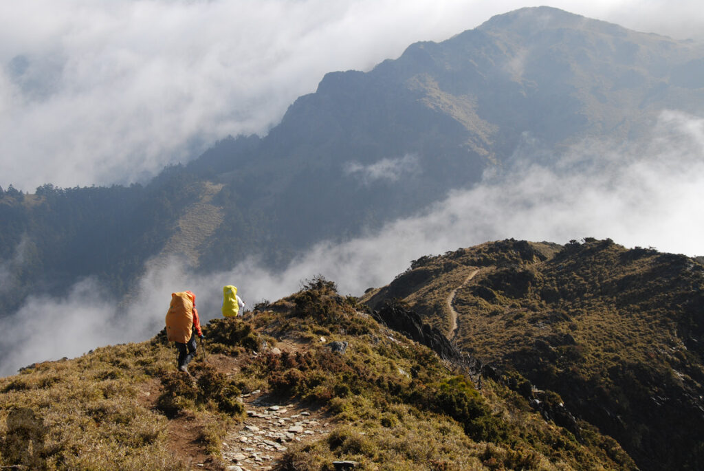
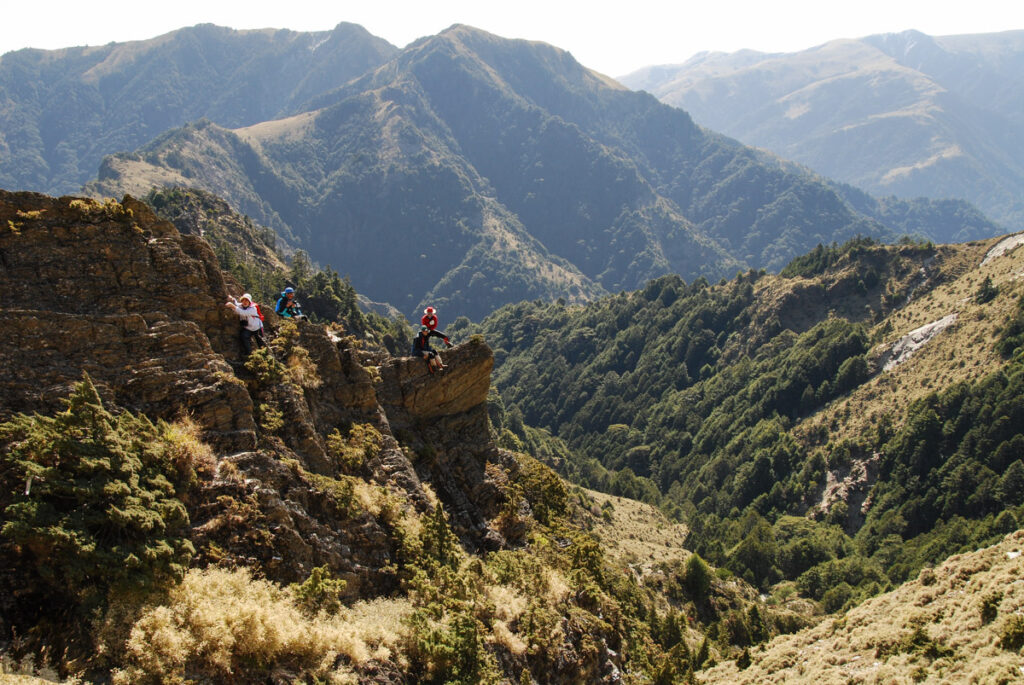
Thirdly, this trail features several alpine scenic spots, which are so well-known to the general public such as Jiaming Lake and Batongguan Traversing Trail. Furthermore, the view on the entire trail is awesome. When you travel on the ridges along the trail, there is almost nothing to block the sight from the first day. This is not common in Taiwan. For some alpine trails like Qilai East Ridge (奇萊東稜), hikers may need to spend half of the time or more in a dense bamboo forest / shrub that are taller than people.
South Section 2 also provides the access to other alpine trails including Sinkang Trail (新康橫斷), Batongguan Traversing Trail, Yushan and Mabolasih Trail. For those who have done all Baiyue hikes, this is the trail they must have visited for more than once.
Hiking Safety on South Section 2
Hiking on South Section 2 is not technically difficult but there are some things need extra attentions.
Providing you will start the hike from Xiangyang and travel toward Dongpu:
If you plan to stay at Siangyang Cabin (向陽山屋) or Jiaming Lake Cabin / Campsite (嘉明湖避難山屋) for your first day, make sure you have book your bunk / campsite successfully in advance. These two cabins are super popular during weekends and public holidays especially the Jiaming Lake Cabin. Please be aware this is a separated application because these two cabins are not run by the National Park. And you still need a park permit (issued by Yushan National Park) and mountain entry permit (issued by police department) for hiking on South Section 2.
The day when you begin from Lakuyin River Cabin (拉庫音溪山屋) and finish at Lulu Valley Cabin (轆轆谷山屋) can be a long day due to a side trip to Yunfeng (or Yun Peak 雲峰). This 3.5-hour return trip is mandatory to anyone who wish to accomplish all Baiyue hikes, but it might be optional if that achievement means nothing to you, or if the weather condition does not allow, or if anyone is already tired when arriving the trail junction. Providing you want to hike in a laid-back style, this day may take you over 12 hours to finish and so please make your way as early as possible in the morning.
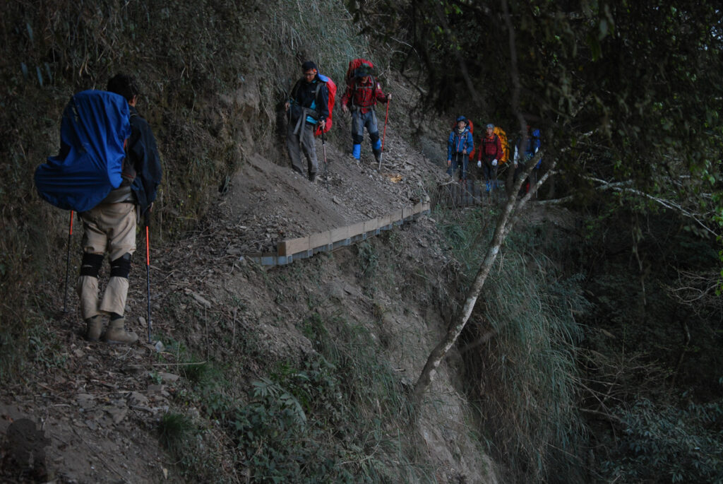
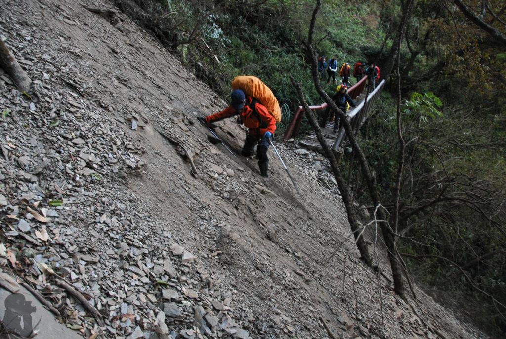
Once entering the Batongguan Trail (after your stay in Dashueiku Cabin 大水窟山屋), there may be several collapsed sections / landslips to pass. If a detour is available, please follow the signs and trail markers to bypass that dangerous spot. I heard that some hikers still passed through those damaged trail sections in order to save some time but that definitely incurred more risks. This historic trail is prone to landslides. Sadly but inevitably the original part of the trail will shrink and be shattered with time.
The hike for South Section 2 is normally a 7-day trip. Therefore the changing weather is a concern. You may want to read the “Hiking Safety in Taiwan” on this website for the relevant information, which may assist you making a wise decision before or during the hike. One of the common treats is typhoon (or tropical depression) which can approach Taiwan in some seasons while you are in the mountains, at the middle of the trail.
Some hikers might have the illusion thinking South Section 2 is a safe and easy trail because they can be protected by the cabins along the way. This is true only when you are able to make it to a cabin before severe weather comes. I do not think many hikers bring tents while hiking on South Section 2 as it is usually considered as a “tent-free” trail. But a tent for emergency may add an extra benefit to your safety, especially to a solo hiker. A guide may carry a single-person tent in case anyone of the team is sick or injured on the way to the next cabin.
My trip comment
I hiked on this trail twice in early June of 2011 and early March of 2013. Both trips were blessed by the stable weather condition, almost no rainfall. This seldom happened to me during any other hikes longer than four or five days. The hike in June had very warm days; I did not even use my sleeping bag in one or two cabins.
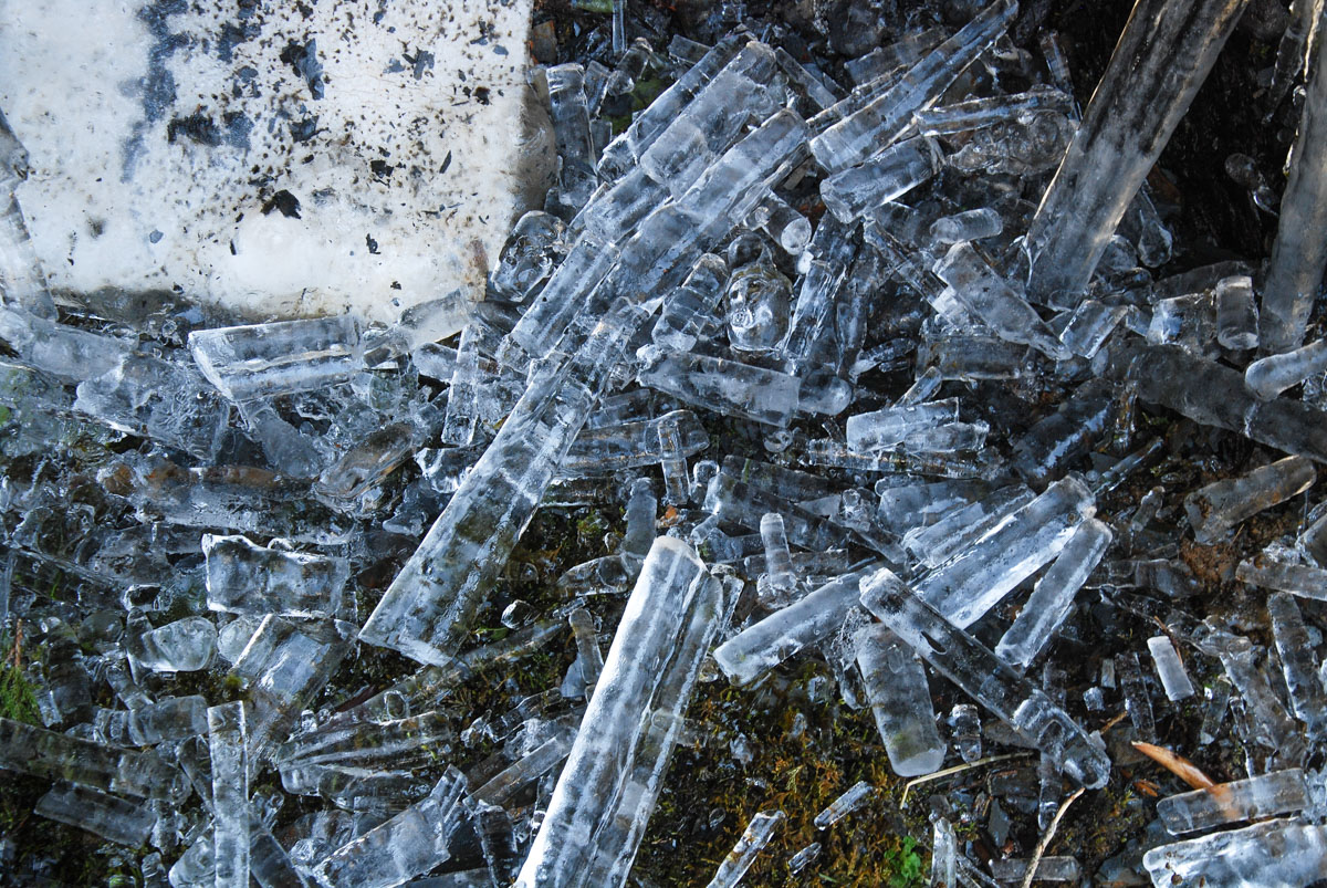
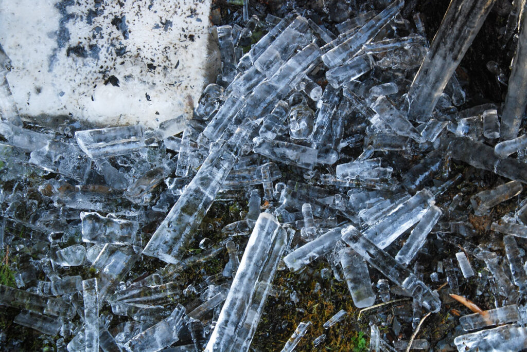
The one in March 2013 was on a totally different condition which we encountered the biting wind blasting the ridges and water still remained icy in a shady spot. Three days before we finished the trip an earthquake of magnitude 5.87 struck, not a huge one in Taiwan, but we felt it and saw the rising dust in the distance. That was the only time I felt an earthquake during a hike. It resulted in a few unstable terrains along the Batongguan Trail, making somewhere tricky to negotiate. On some damaged trail sections the footholds and the impact trail were “smoothed” by the fallen screes. Fortunately this earthquake merely added some excitement to the last leg of the trip.
Overall, South Section 2 is a great trail offering some highlights for its visitors. As a photography hobbyist, it is absolutely a highly-rated trail. There are some alpine trails in Taiwan that people may only want to hike once but South Section 2 is absolutely not one of them.
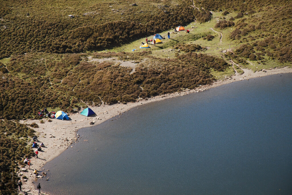
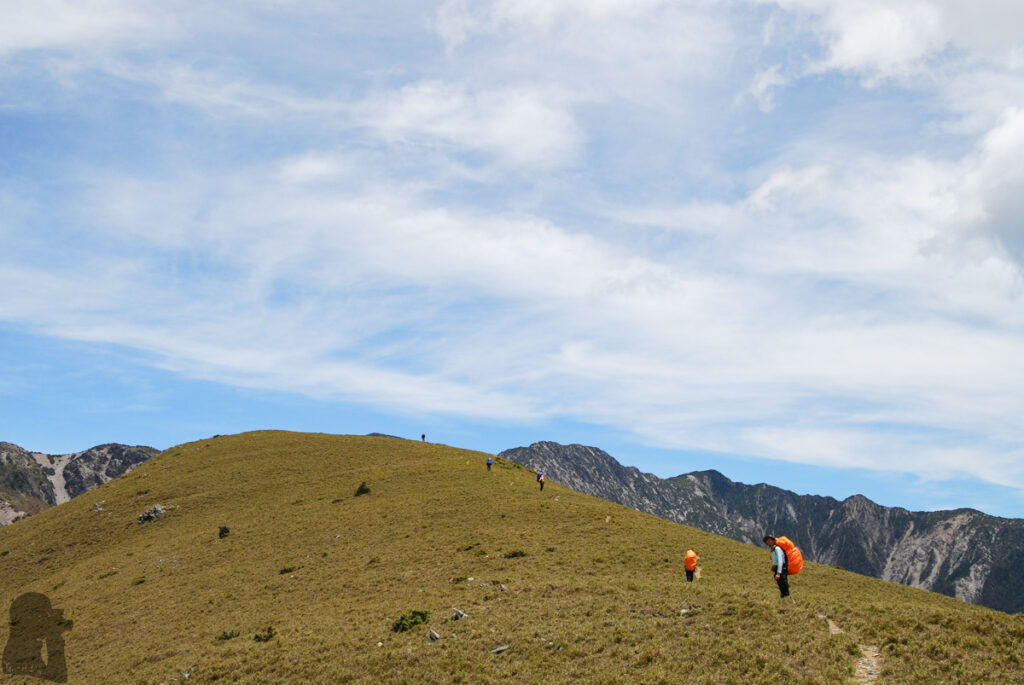
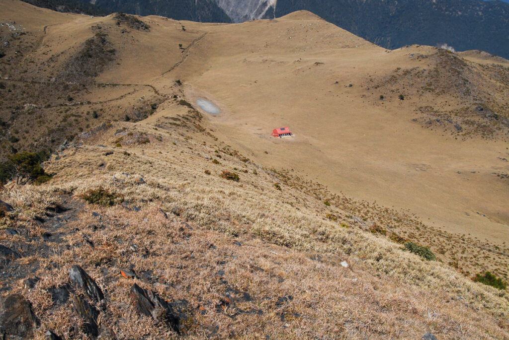
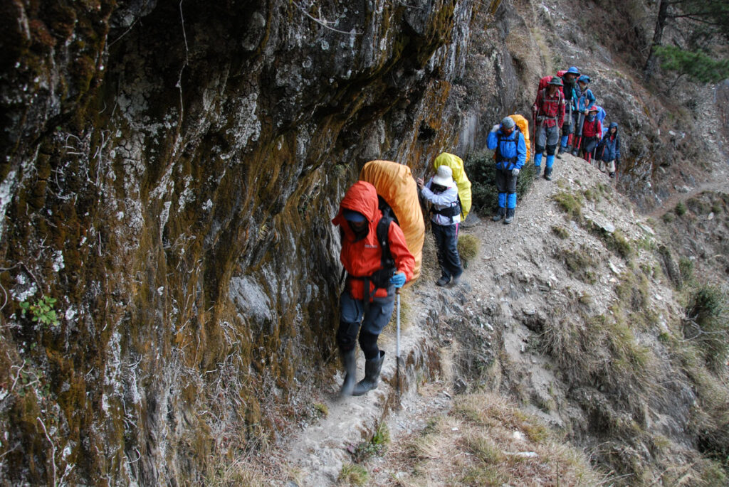
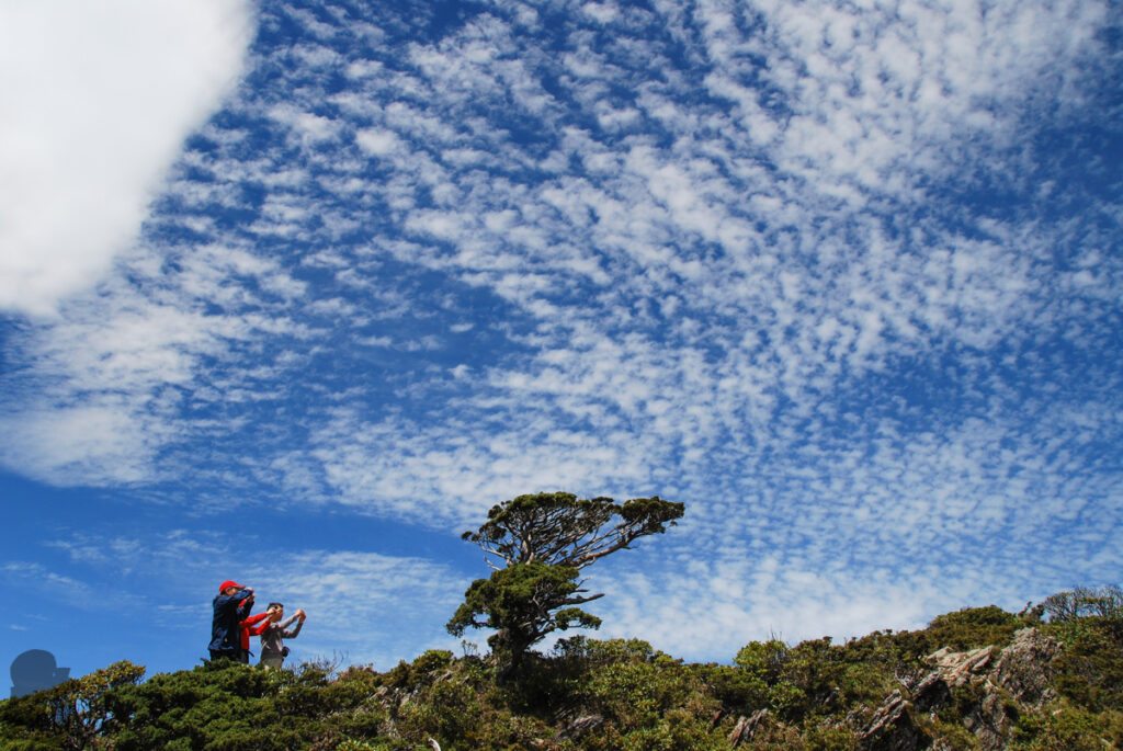
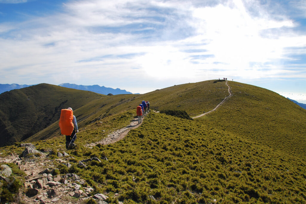
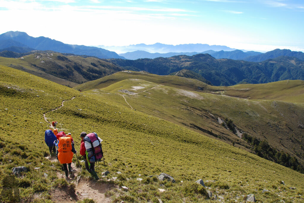
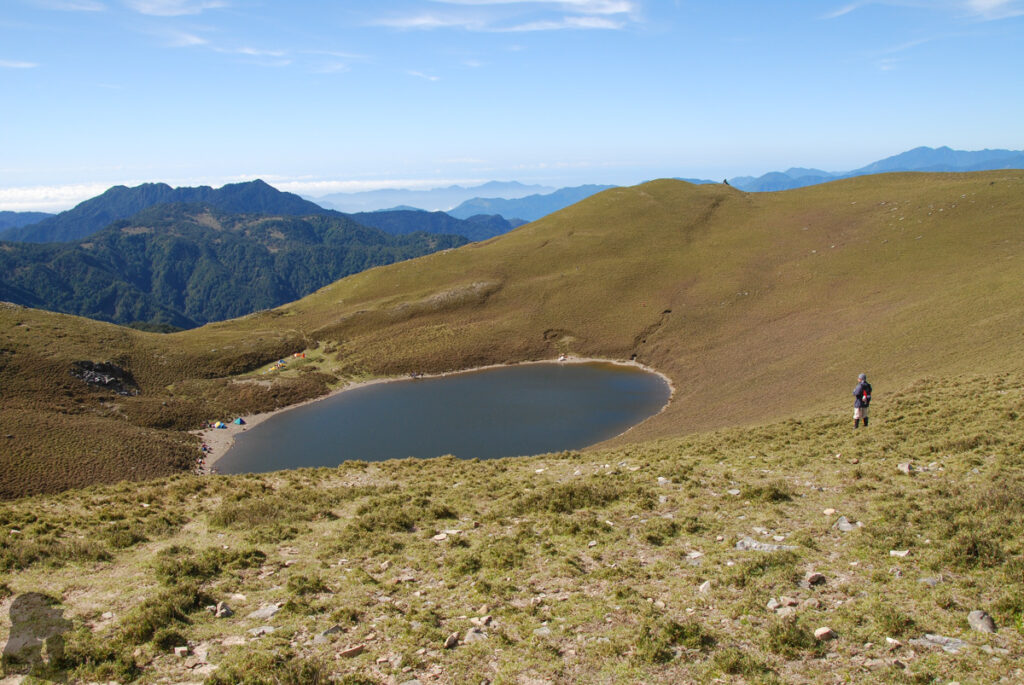
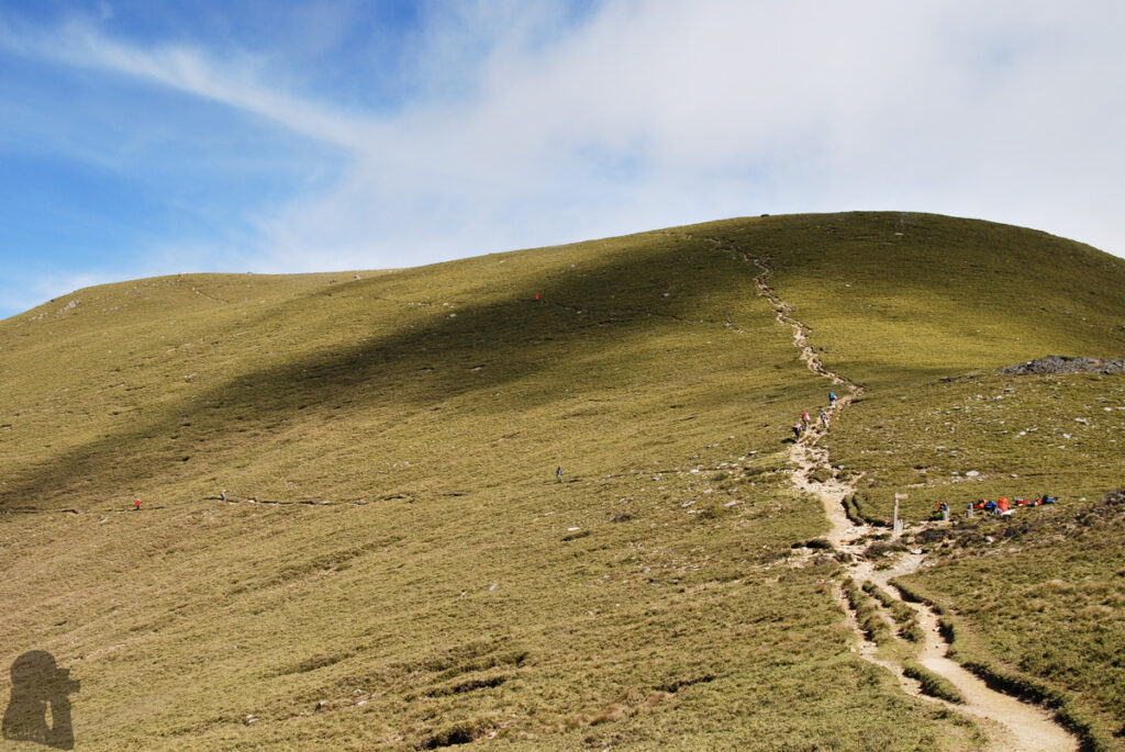
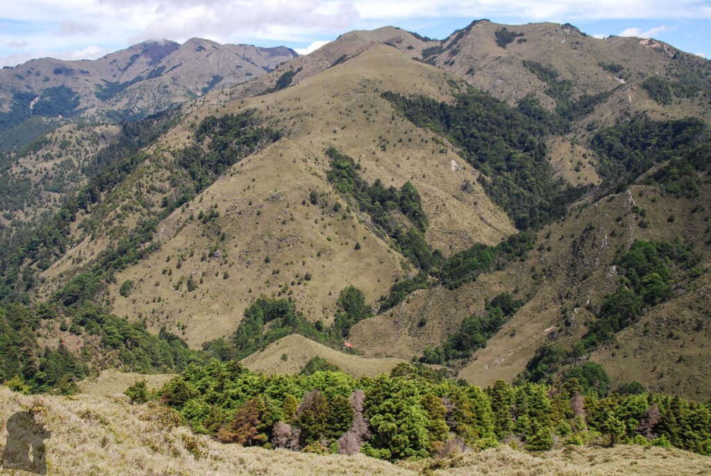
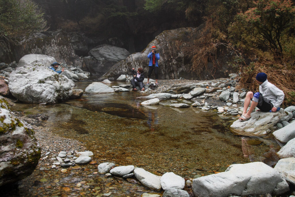
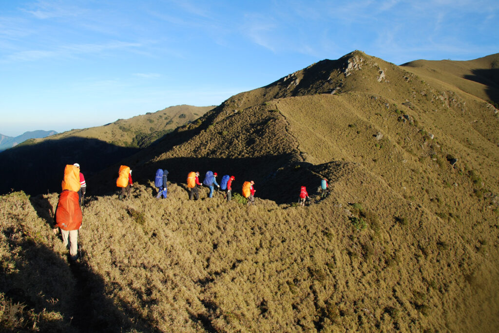
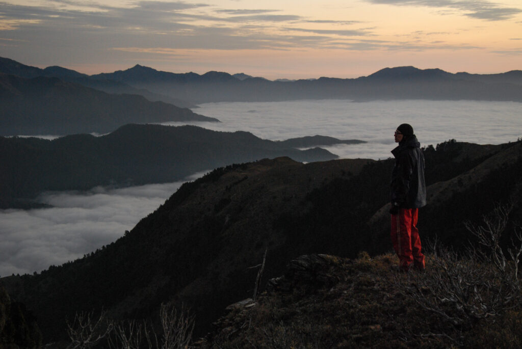
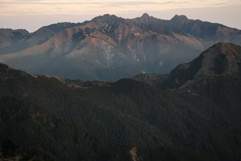
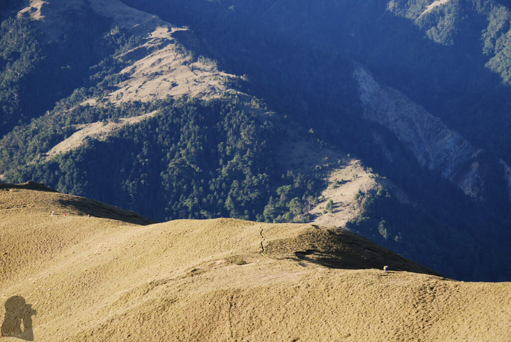
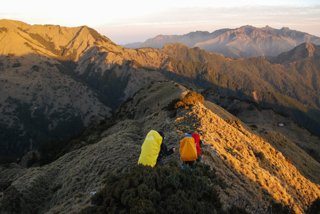
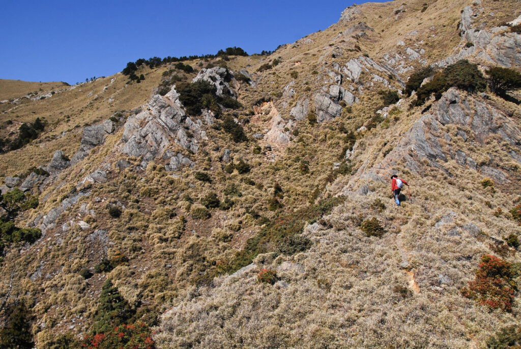
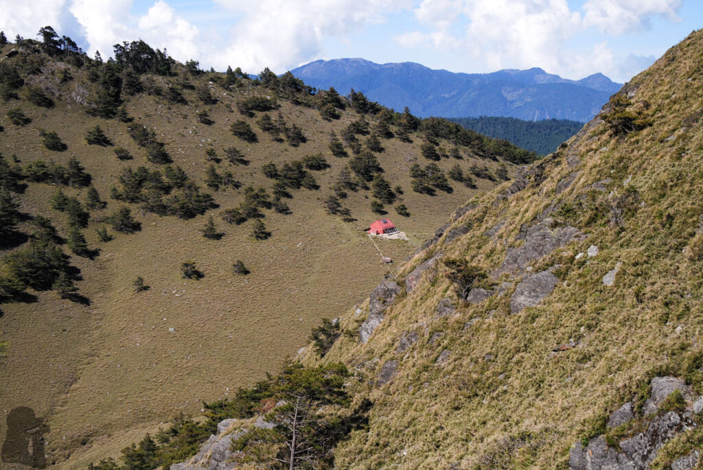
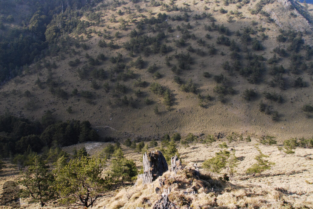
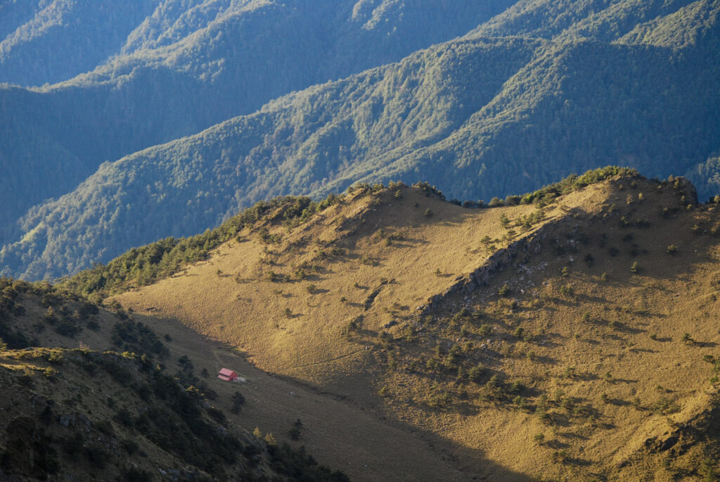
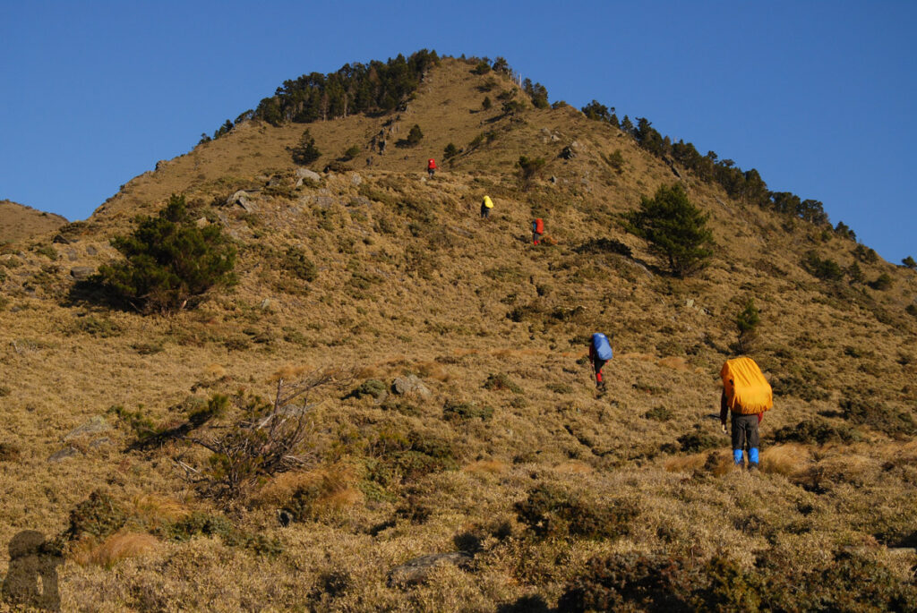
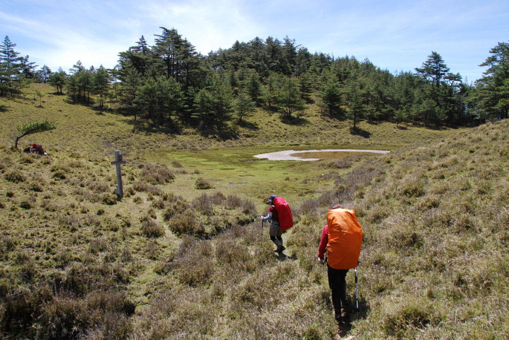
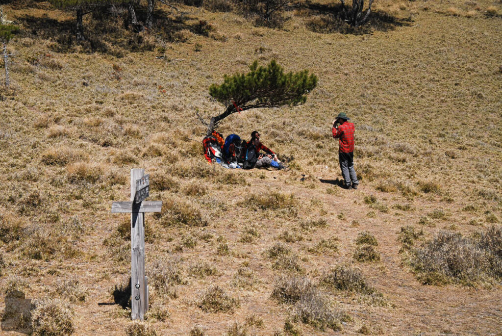
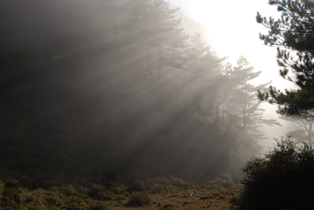
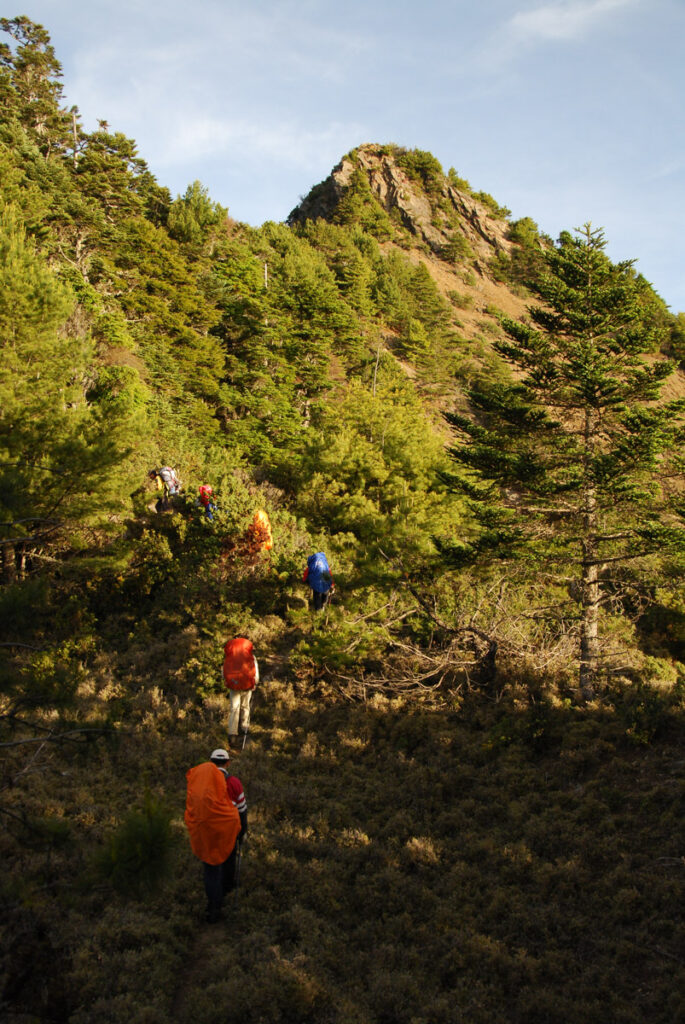
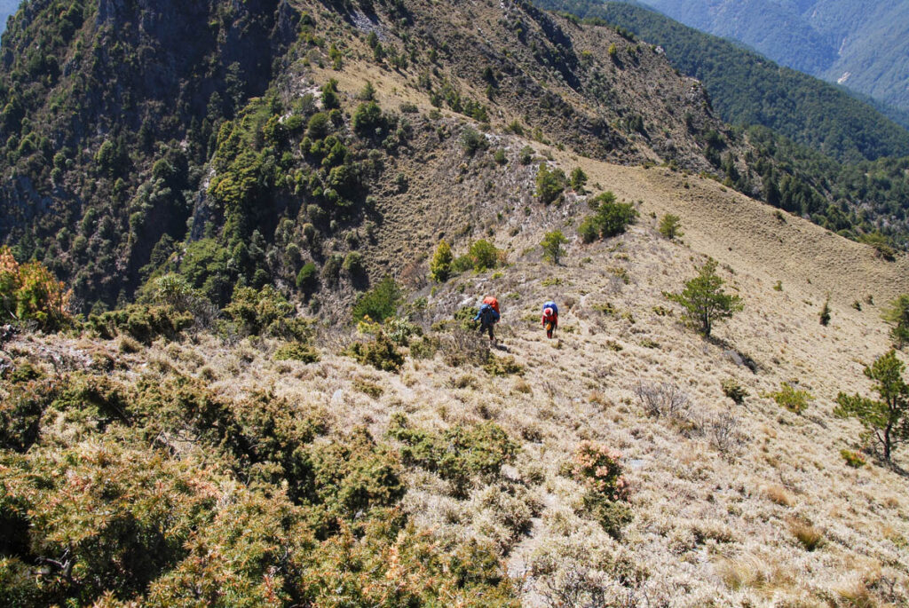
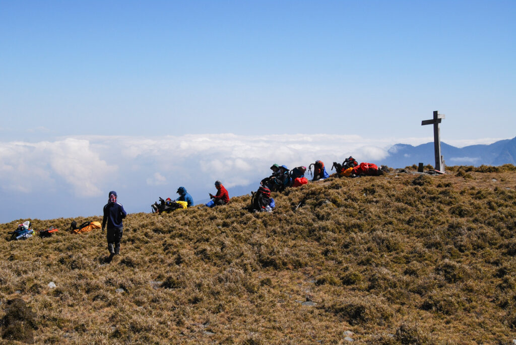
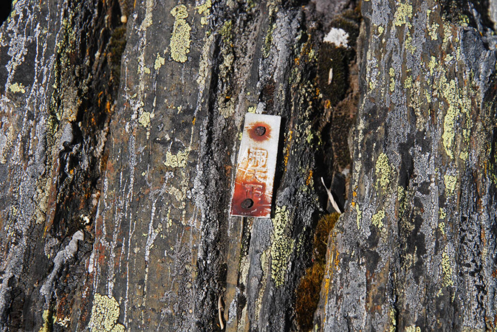
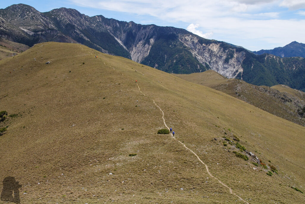
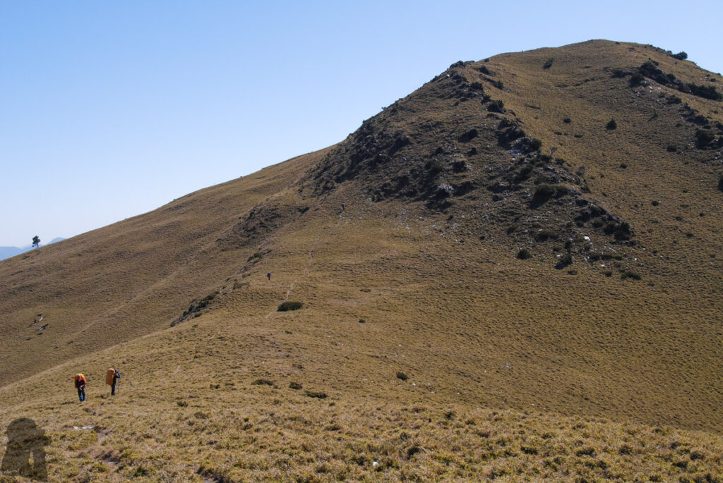
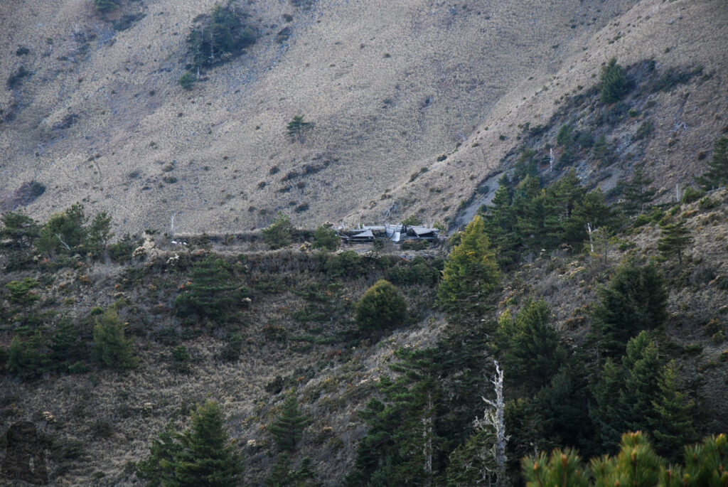
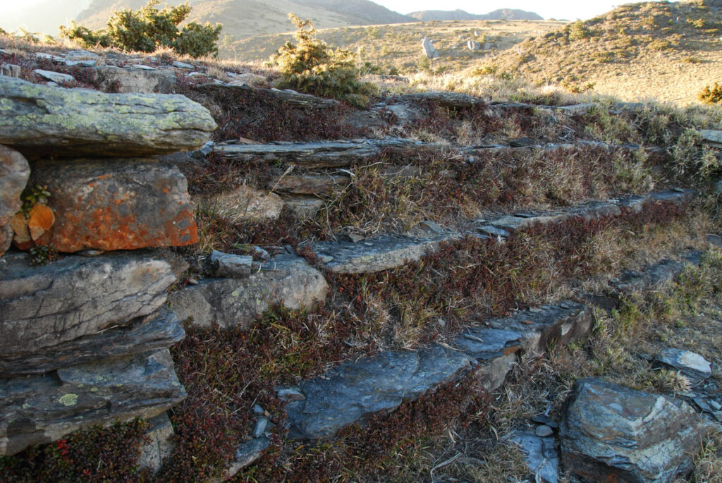
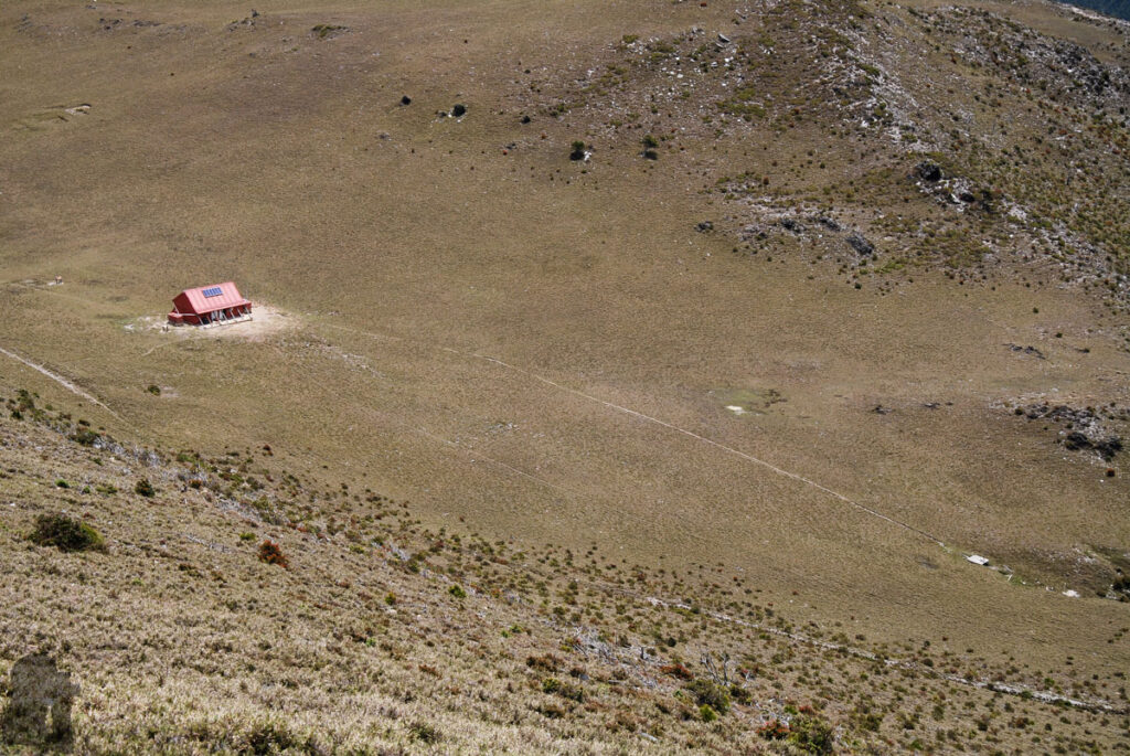
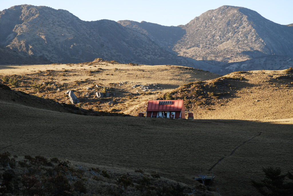
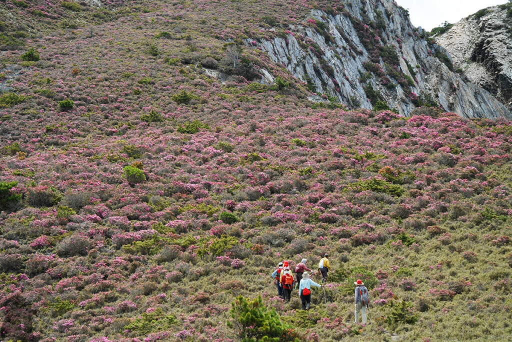
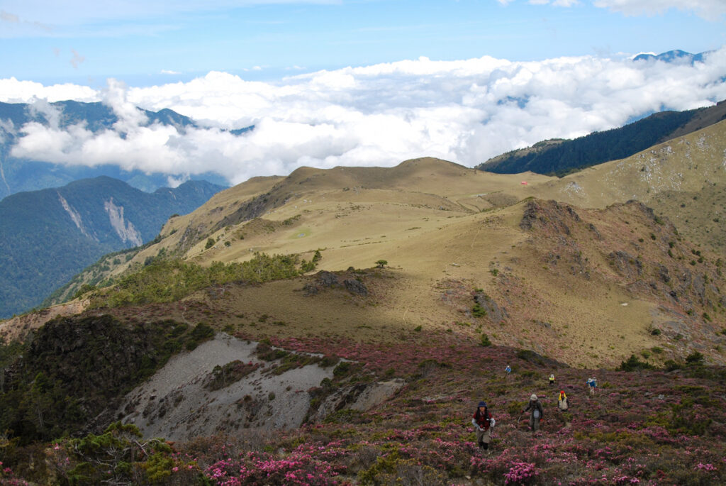
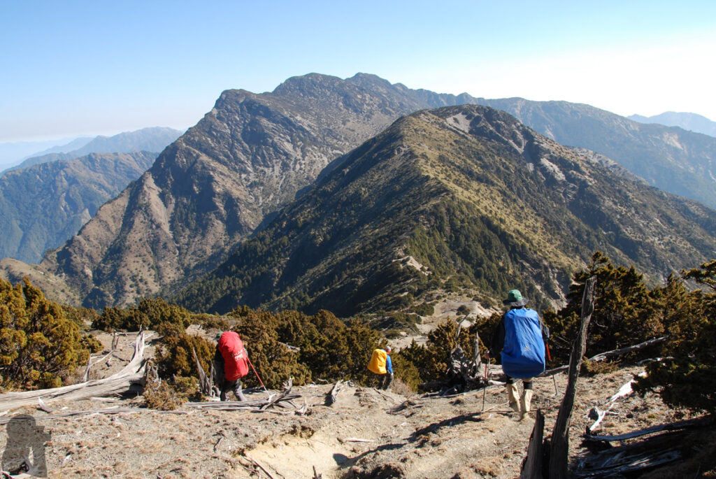
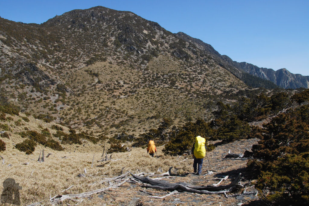
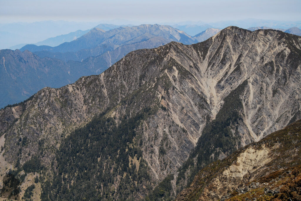
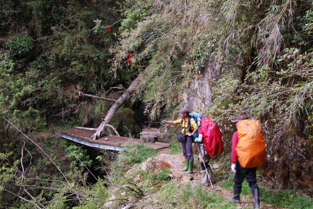
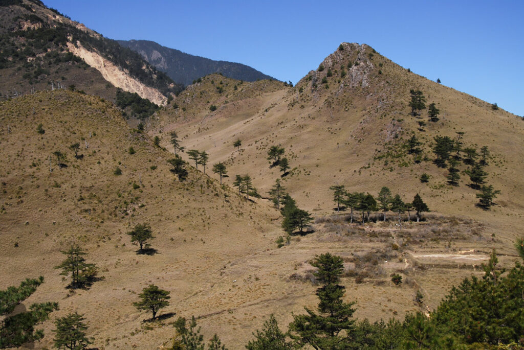
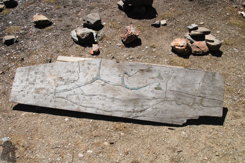
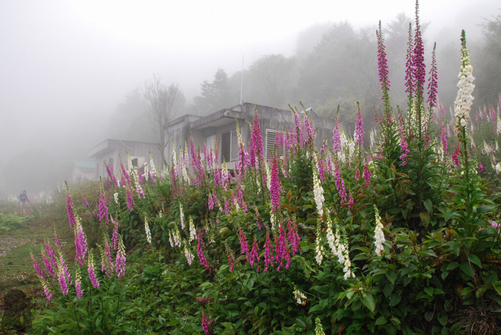
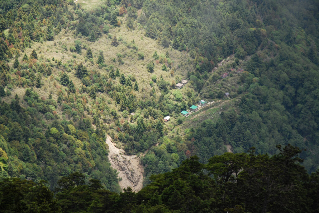
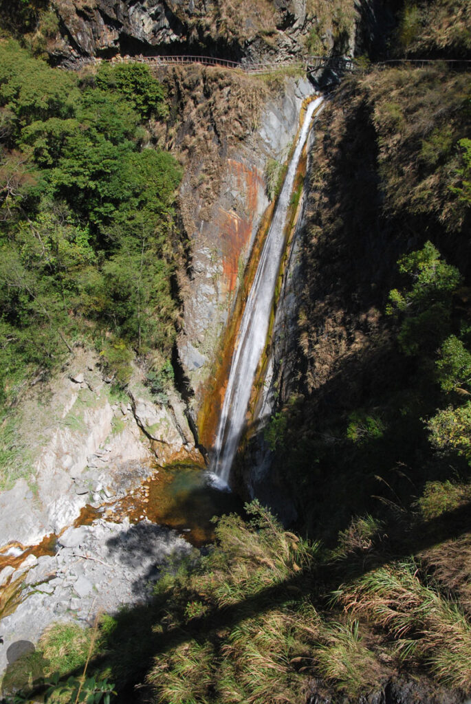
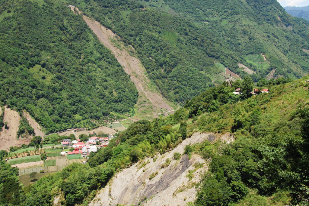
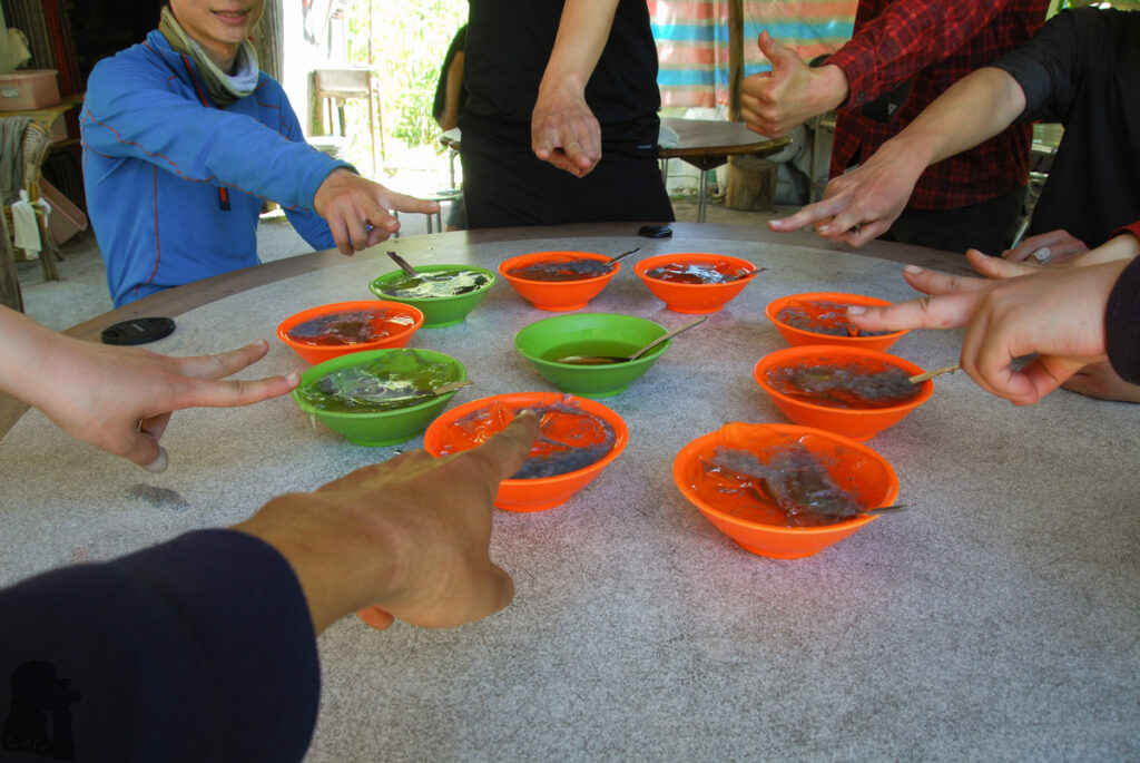
The “Xiangyang Famous Tree” (向陽名樹); this small tree, a single-seed juniper (玉山圓柏), earned its reputation probably from it graceful gesture (not on this side). Most of people took a photo or had a selfie with it. But since a big branch broke away from the trunk several years ago, it is fenced off now to reduce the harassment from the hikers.Overlooking toward south on the top of Xiangyangshan (向陽山), Guanshan (關山) on South Section 1 towered up in the background.Beneath Xiangyangshan the winding track to Sanchashan is visible even from miles away, formed after hikers’ tread for decades, a signature of this track’s popularity.Jiaming Lake Cabin; the number of visitors it accommodated a year may be second only to Paiyun Lodge (排雲山莊); when I was there for the first time, there were over 20 tents around the cabin.Leaving Xiangyangshan and Jiaming Lake CabinApproaching SanchashanHeading to Jiaming Lake where is hidden under the gentle slope; there is even a helipad in the front.Jiaming Lake is also called “Tear of Angel” or “Moon’s Mirror” by Bunun (布農族) people. At the elevation of 3310 m, it is the most famous alpine lake in Taiwan. Mos of the hikers came here only to see this lake; a percentage of them may carry on the hike on South Section 2 and even a lesser number of hikers might veer to Sinkang Trail after this lake.Camping by the lake was common before 2014 until forestry agency strictly banned it. It is said a few hiking organizations occupied the campsite and hid their equipment inside the bushes for their own commercial activities. The wastes from campers was a great concern to the lake and the surrounding area. I did wonder if human feces all flowed back to the lake in the end because it would take a while to walk far enough from the lake.The track to Jiaming Lake is as spacious as a “highway”, you can literally run on it. In fact, a trail running race was held along this trail to the lake in 2014. That was the first race on an alpine hiking trail to the best of my knowledge. Before the event there was some controversy over the concern of mountain safety and the right to use the trail as a hiker / runner. Back then this trail was considered only for those well-equipped hikers, not for runners with minimal gears with them. But the champion, Petr Novotny from Czech Republic, finished the race in 3 hours and 53 minutes, a jaw-dropping record for everyone who paid attention to the news. The race had a happy ending with everyone return to trail head safely. That was about the time trail running in the high mountains of Taiwan started getting its popularity as well as super lightweight backpacking.Lakuyin River Cabin in the valley; it did not take long to be there after leaving Jiaming Lake.Lakuyin River, a clear stream to relax in the afternoon on a short day. But you may need to rest early to recharge for the next day, the biggest day of the entire trip.A long uphill walk to Nanshuangtoushan (南雙頭山) after the departure from Lakuyin River CabinAs early birds, we arrived Nanshuangtoushan at dawn on the trip in 2013.Yushan and its surrounding peaks were within the sight almost on the whole hike.The rolling field around NanshuangtoushanMoving toward the trail junction to Yunfeng on the left sideYunfeng is the tallest peak on the left where a teammate completed the last piece of his Baiyue climbs. For this ascent to his 100th Baiyue peak, he had to hike on the entire South Section 2 again (because he missed it on a previous trip). If you are keen to accomplish all ascents for Baiyue, try not to miss this mountain unless it is not safe to do so.We left our backpacks at the junction and headed to Yunfeng.A spot for a quick scramble, the only small excitement I remembered before Yunfeng.The view around Yunfeng; overlooking to the rest of South Section 2Returning to the trail junctionLulu Valley featured these trees growing in a dispersed pattern. It seemed every tree was keeping a proper social distance to each other.The moment we saw Lulu Valley Cabin emerged from the back of slope was cheerful and comforting, knowing this day is about to end. It is a very beautiful valley full of a special vibe but we were already too tired to explore the scenes around.A secret path into the forest; I was told that trail leads to a creek, if the flowing stream water is what you insist. No one bothered to go there as the tank still had some water.The toilet; I don’t know if the kind of facility has been upgraded yet. Many toilets around the cabins in Yushan National Park were like this, just a pit with simple fences. The biggest inconvenience is having no roof and perhaps the minimal privacy.Ascending to the ridge; leaving the lovely valley behindMarching to Lulushan (轆轆山)Tafen Pond (塔芬池)Everyone wants this privileged shade by the pond.A hidden campsite near Tafen Valley Cabin (塔芬谷山屋)Approaching Dafenjianshan (達芬尖山)Another exhilarating time at the summit of Dafenjianshan, still under a clear skyDashueikushan (大水窟山) was decorated with the massive bloom of red-hairy rhododendron in June.Looking at Dashueikushan; an earthquake happened around the time this photos was taken.The ascent to Nandashueikushan (南大水窟山) was the toughest part on the hike to me.The gradient to Nandashueikushan was moderate but it was the unforgiving sunshine in June drove me exhausted during the ascent. As there was nowhere to hide during the climb, I felt being drained by the heat after each step and breath. All I could do was to stare at my boots and empty my mind.I believe everyone will take a break once they arrive Nandashueikushan after the painful ascent. My second hike to here was much easier than the first one as it was in a cooler March.A small metal plate pinned on a rock at Nandashueikushan with a name: Hsing, Tien-Cheng (邢天正). He was honored as one of the “Big Four” (四大天王) for his great contribution in early mountaineering era in Taiwan. People who left something in the mountains to present their ever existence was not uncommon although this manner was not encouraged anymore nowadays.Once passing Nandashueikushan the view open up again and the following walk to Dashueiku Cabin was an enjoyable breeze.Walking down NandashueikushanDashueiku Cabin is located on a flat under Dashueikushan. It is an important location where the route of South Section 2 joins Batongguan Traversing Trail. Dashueiku, meaning a “big pond”, was the only water source for the soldiers and polices who stationed here in historic eras. For hikers it is an alternative option when the cabin’s tanks are empty although this pond may dry out from time to time.Two versions of Batongguan Traversing Trails crosses each other in this place; the older one was built in Qing Dynasty (清朝) and the other was from the Japanese Period later. They are actually two different trails. Most of the times the “Batongguan Trail” hikers talks about is the Japanese one. Many sections of Qing trail have gone and are difficult to follow; it is a route for off-trail hiking experts. When the Dashueiku Pond is bone dry and nothing left in the tanks (the situation we had in 2013), you have to go to Batongguan Trail toward Nan Camp (南營地) to get some water.The ruin of Dashueiku Station (大水窟駐在所), one of the many police stations along Batongguan Traversing Trail where Japanese authority watched and controlled indigenous communities. It is several hundreds meters to the south of Dashueiku Cabin.The historic site of prefecture boundary during Japanese Period is on the western side of Dashueiku Pond.This must be the greatest distance in the world between a cabin and its toilet. I hope everyone could make it before it is too late. The toilet was literally a ruin with only the platform and the pit remained, a hilarious scene to me.Hiking into the bloom of red-hairy rhododendron on the path to DashueikushanMy second trip after leaving Dashueiku Cabin is not exactly the same as the first one. We did not go to Batongguan Traversing Trail straight away but added a hike to Siouguluanshan (秀姑巒山).Siouguping (秀姑坪), also a location along the Mabolasih TrailThe rough and stunning face of Mabolasihshan (馬博拉斯山)Going back down to Siouguping from the top of SiouguluanshanThe yummy icy spring by Baiyang Mine Cabin (白洋金礦山屋)Batongguan Traversing Trail was designed to transport heavy goods with vehicles; but the foundation of the whole trail will eventually disappear like this.Another damaged spot of the trailBatongguan (八通關) is the connecting point between Yushan Range and Central Mountain Range. Like Dashueiku it was the base of a military camp, a police station and a prefecture boundary. Of course, only their ruins still exist.A very old sign with the handmade-style mapFoxglove (毛地黃) and Guangao Hiking Service Station (觀高登山服務站). This buildings are located at the side the abandoned Junda Forest Road (郡大林道), just 60 m below the Guangaoping (觀高坪) of Batongguan Trail. As this station is at a such ideal location from the trail head at Dongpu that even the ground in the near front has tumbled down due to the impact of Typhoon Morakot in 2009, hikers still used the building to overnight despite the fact that this site has been shut down. In 2025, the brand new Guangao Cabin (觀高山屋) is open to the public, a legal and luxurious building on a safer site for hikers to use.The retreating ground in the front of Guangao Hiking Service Station; the view from Batongguanshan; Without an aerial view for this station, no one would feel that cliff was intimidatingly close to it.This was what that earthquake did!Yunlong Falls (雲龍瀑布); Anyone can go to Batongguan Trail from the trail head to the swing bridge beside this waterfall without any kind of permit.The outskirts of DongpuAiyu (愛玉), a traditional jelly drink from natural ingredient. This shop, called Aiyu Ting (愛玉亭), was located near the trail head of Batongguan Trail by a temple (三聖宮). This was the place nearly all hikers visited no matter they were entering or leaving the trail. This shop and the temple were demolished in 2023.
To provide the best experiences, we use technologies like cookies to store and/or access device information. Consenting to these technologies will allow us to process data such as browsing behavior or unique IDs on this site. Not consenting or withdrawing consent, may adversely affect certain features and functions.
Functional
Always active
The technical storage or access is strictly necessary for the legitimate purpose of enabling the use of a specific service explicitly requested by the subscriber or user, or for the sole purpose of carrying out the transmission of a communication over an electronic communications network.
Preferences
The technical storage or access is necessary for the legitimate purpose of storing preferences that are not requested by the subscriber or user.
Statistics
The technical storage or access that is used exclusively for statistical purposes.The technical storage or access that is used exclusively for anonymous statistical purposes. Without a subpoena, voluntary compliance on the part of your Internet Service Provider, or additional records from a third party, information stored or retrieved for this purpose alone cannot usually be used to identify you.
Marketing
The technical storage or access is required to create user profiles to send advertising, or to track the user on a website or across several websites for similar marketing purposes.
To provide the best experiences, we use technologies like cookies to store and/or access device information. Consenting to these technologies will allow us to process data such as browsing behavior or unique IDs on this site. Not consenting or withdrawing consent, may adversely affect certain features and functions.
Functional
Always active
The technical storage or access is strictly necessary for the legitimate purpose of enabling the use of a specific service explicitly requested by the subscriber or user, or for the sole purpose of carrying out the transmission of a communication over an electronic communications network.
Preferences
The technical storage or access is necessary for the legitimate purpose of storing preferences that are not requested by the subscriber or user.
Statistics
The technical storage or access that is used exclusively for statistical purposes.The technical storage or access that is used exclusively for anonymous statistical purposes. Without a subpoena, voluntary compliance on the part of your Internet Service Provider, or additional records from a third party, information stored or retrieved for this purpose alone cannot usually be used to identify you.
Marketing
The technical storage or access is required to create user profiles to send advertising, or to track the user on a website or across several websites for similar marketing purposes.