The content on this website is published in English. I cannot guarantee the quality of the translated text generated by the plugin of this website. The machine-translated “names” and “terminology” are often inconsistent and/or incorrect. If it looks confusing, please switch back to the English version.
Disclaimer: Information such as the locations or the trails shown on the maps of this website might be inaccurate, misleading or out-of-date. They are only the simple illustration for the ranges of the hiking trails or the points of interest. Please prepare your own navigation device, apps, topo maps, and GPX files for hiking.
Source: windy.com
Source: windy.com

Source: windy.com
About Mabolasi Trail
The Difficulty Rating: ★★★★⯪4.5
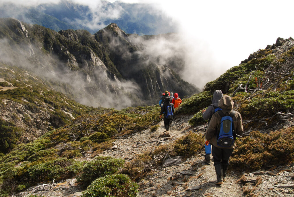
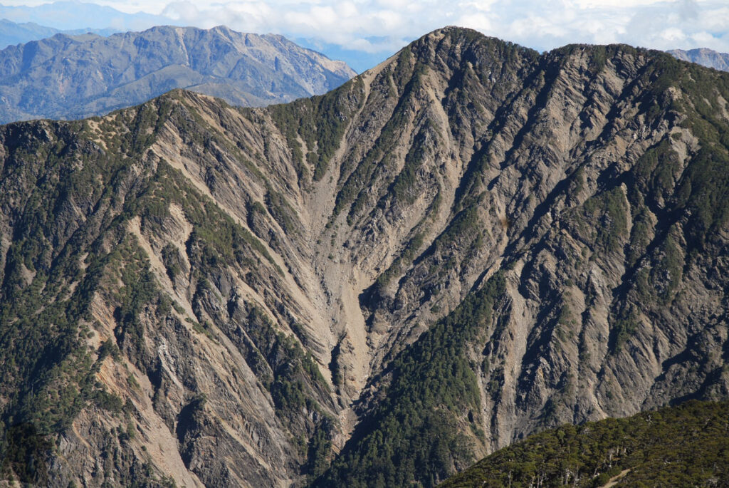
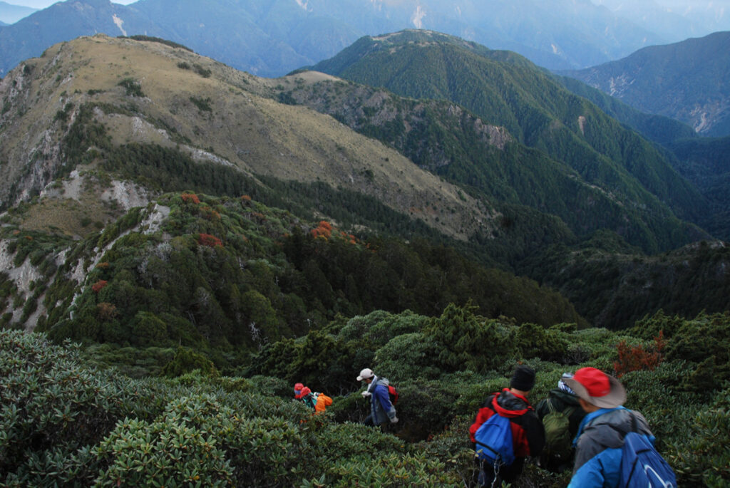
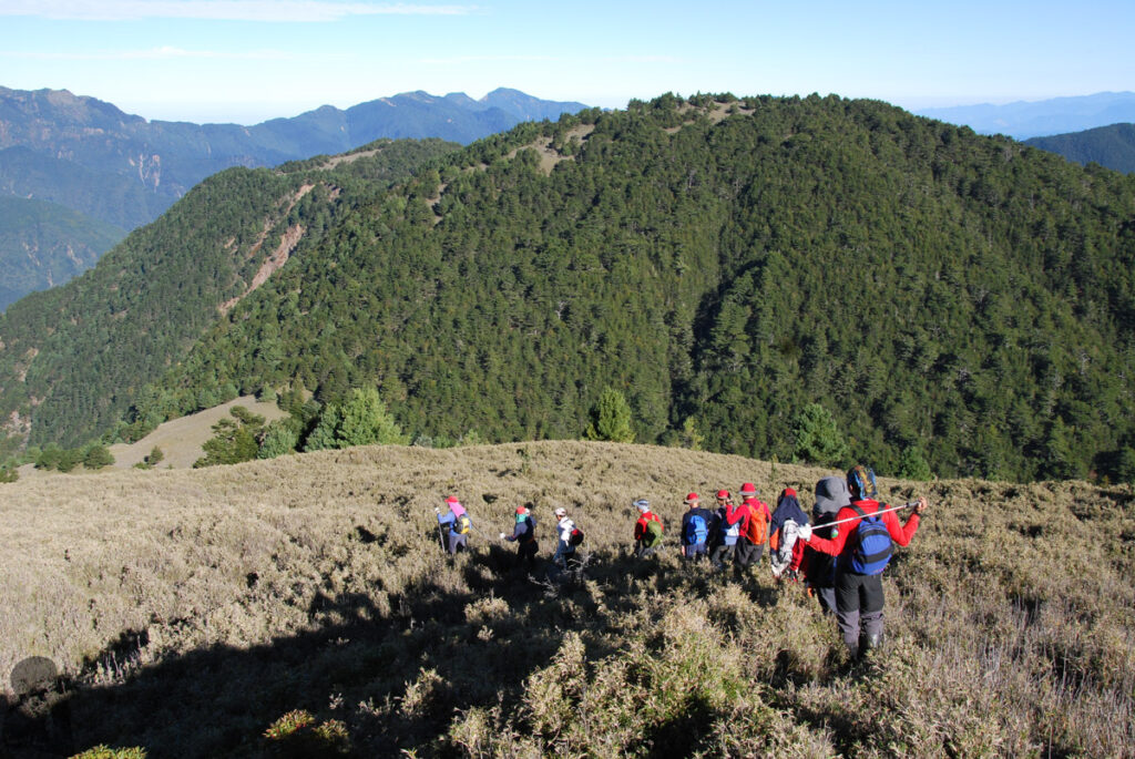
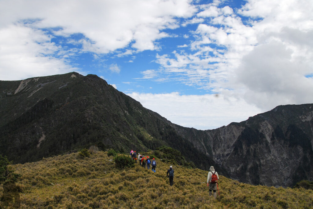
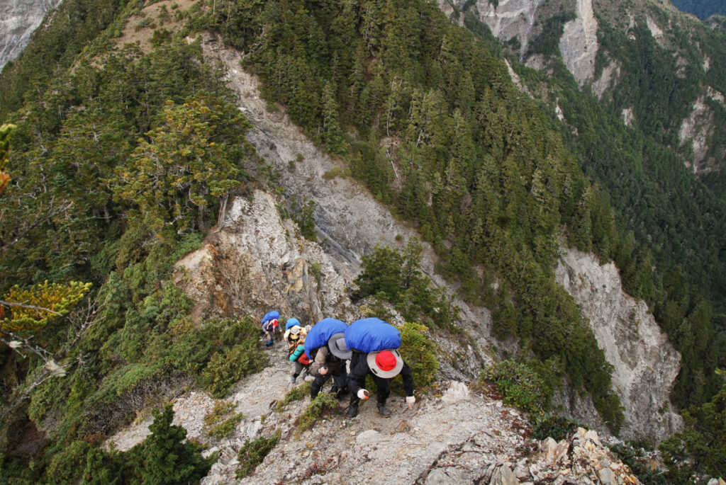
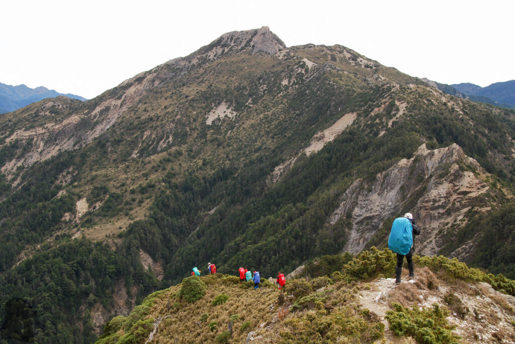
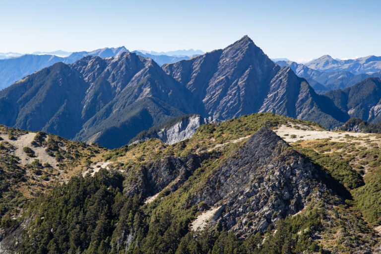
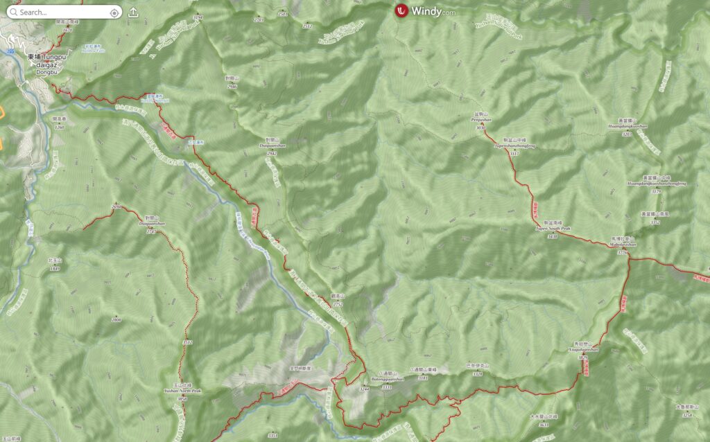
Mabolasih Trail (or Mabolasi Trail 馬博拉斯橫斷) is a long and challenging trail mostly in Yushan National Park. This trail and South Section 3 (南三段) are the two alpine hiking trails that traverse west and east sides of the Central Mountain Range. Although there are other trails in Taiwan such as Batongguan Traversing Trail (八通關古道) or Nenggao Cross-Ridge Trail (能高越嶺步道) which also cross Central Mountain Range, but none of them was developed primarily for mountaineering that you can reach many 3000ers along the way.
Mabolasih Trail is to the north of South Section 2, but both trails share the same trail head in Dongpu (東埔) and the western section of Batongguan Traversing Trail as well. If you start the hike from that side, the trail diverges from Batongguan Traversing Trail at the junction to Jhongyang Mine Cabin (中央金礦山屋) and then continues to Siouguping (秀姑坪), where the route totally separates from South Section 2 (though you might still meet hikers at the top of Siouguluanshan (秀姑巒山) who add a side trip to their South Section 2 hike).
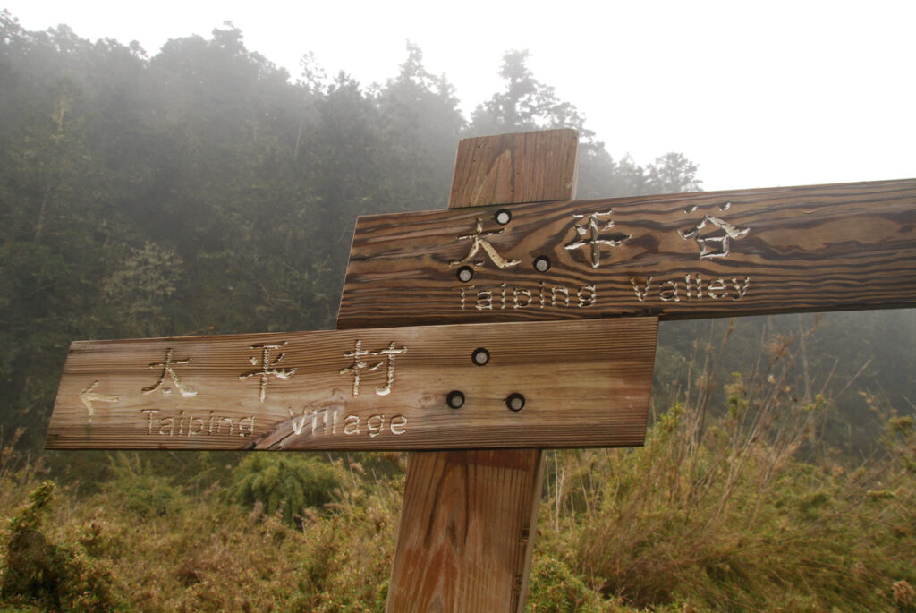
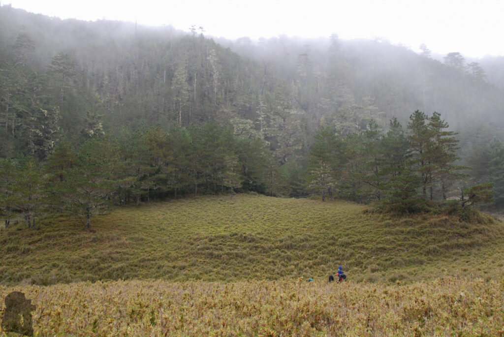
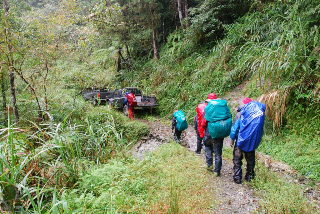
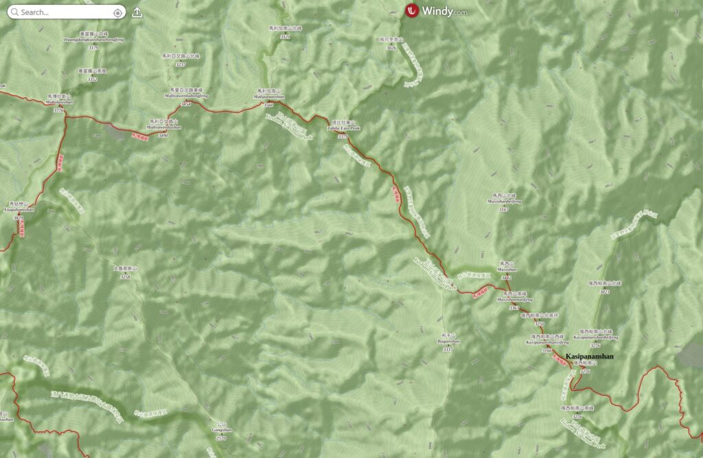
After Mabolasihshan (or Mabolasishan 馬博拉斯山) the trail runs eastward first and then turns to southeast from Malijiananshan (馬利加南山) until the last Baiyue peak of the hike, Kasipananshan (喀西帕南山). Shortly after that, you will leave the eastern boundary of Yushan National Park before the descent to Taiping Valley (太平谷). The final part of the trail joins an abandoned section of Zhongping Forest Road (中平林道)(also called Yuli Forest Road 玉里林道). After negotiating several difficult sections along the ruins of the forest road, you will be picked up somewhere (it might be between 15.3K and 19K if the road condition allows) depending on how far your hired vehicles can reach into the forest road.
Hiking Safety on Mabolasih Trail
A standard schedule for Mabolasih Trail may take eight days, a fairly long alpine hike, second only to South Section 3. Together with Qilai East Ridge (奇萊東稜) and Ganzhuowan Peaks (干卓萬群峰), these four trails are generally regarded as the toughest Baiyue hikes (四大障礙). Decades after that general consensus, the difficulty of hiking on Mabolasih Trail may have been reduced in a way but there were always some new obstacles coming up. Here is a brief breakdown about the safety matters (or highlights) along the trail. For a more comprehensive advice, please refer to the article, “Hiking Safety in Taiwan”, on this website.
Providing you start the hike from Dongpu, the western end of the trail:
The weather
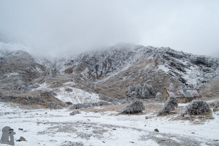
Weather is a dominating factor of hiking safety in Taiwan, especially for a long-distance hike. If you plan to hike on Mabolasih Trail in winter, please be well prepared for the possible snowy / icy condition along the trail. If it will be in a warmer season, you should check weather forecast each day during the hike and have a daily communication with your emergency contact. Any typhoon or a tropical depression near Taiwan will bring a huge impact to your safety, even before it reaches Taiwan.
Also other severe weather may occur in a warmer season.
Regarding this you may find some relevant information from “Hiking Safety in Taiwan” of the website.
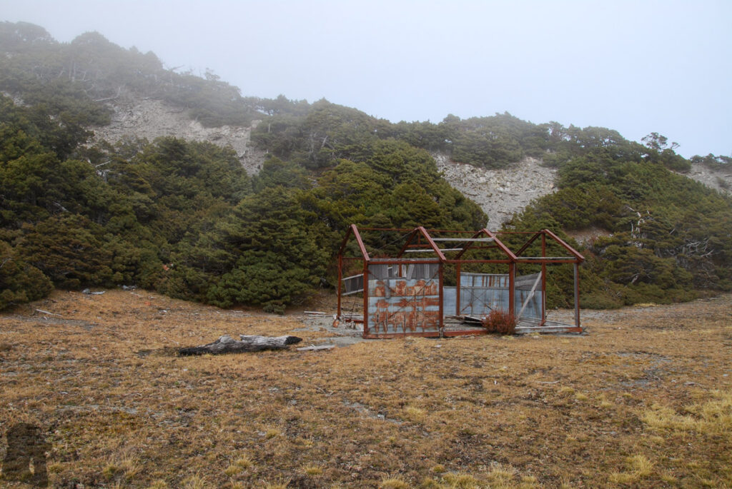
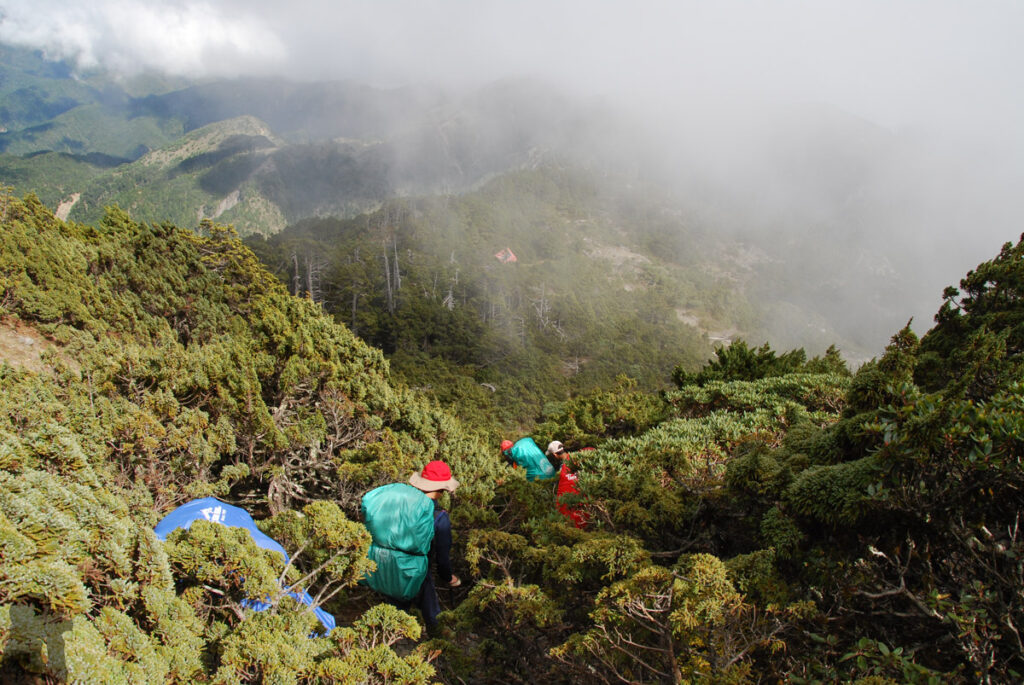
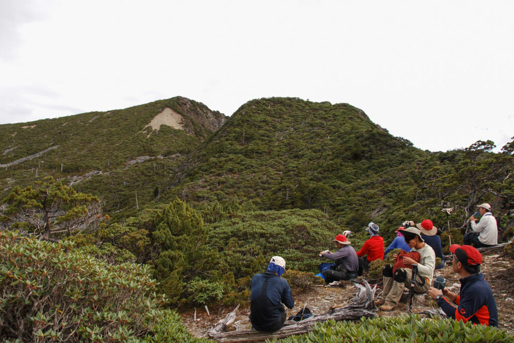
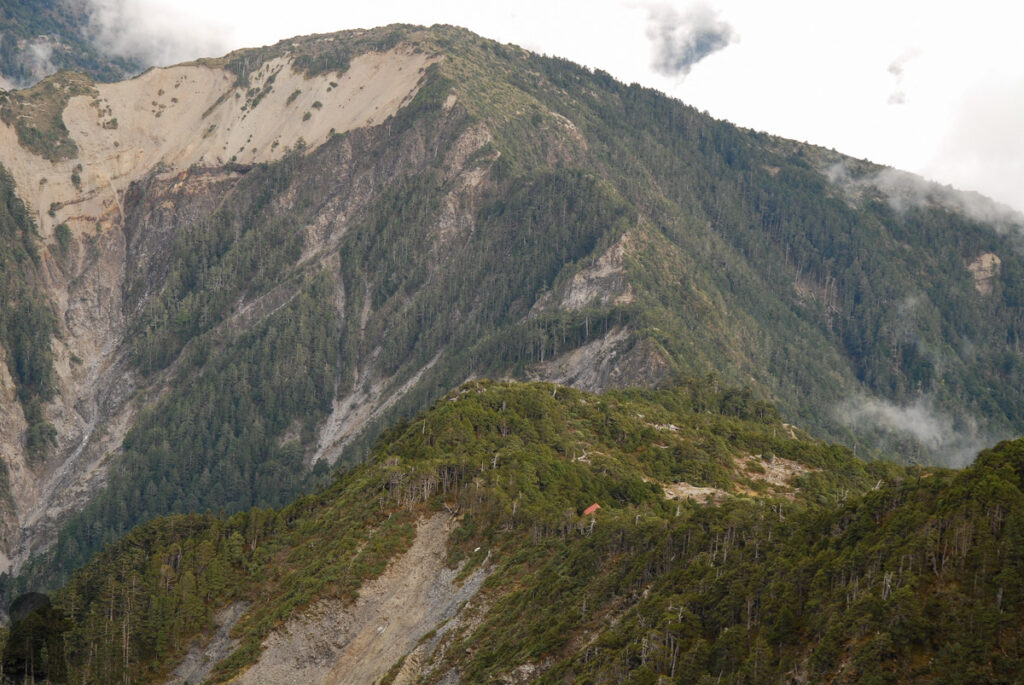
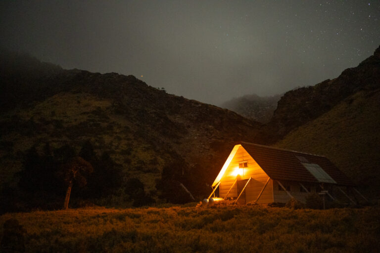
Before you leave the eastern boundary of Yushan National Park, there are cabins along the trail where you can stay for each night. Although this is a great advantage, but it does not necessarily mean a tent is not required. If your hike is proceeding smoothly, the night on Zhongping Forest Road is probably the only time you need to pitch a tent as there is no shelter there. A makeshift shelter by using a tarp may be a lightweight solution as long as you know how to set it up properly. But if you are not experienced in this, jus bring a tent.
Trail condition
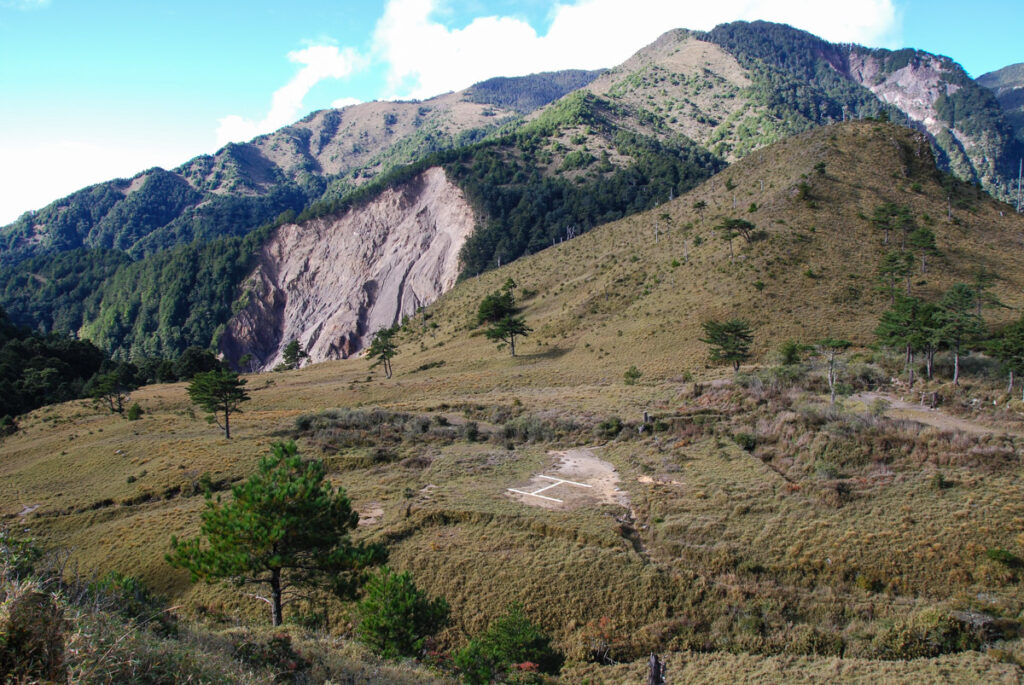
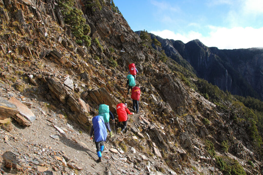
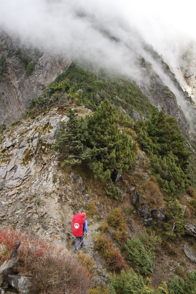
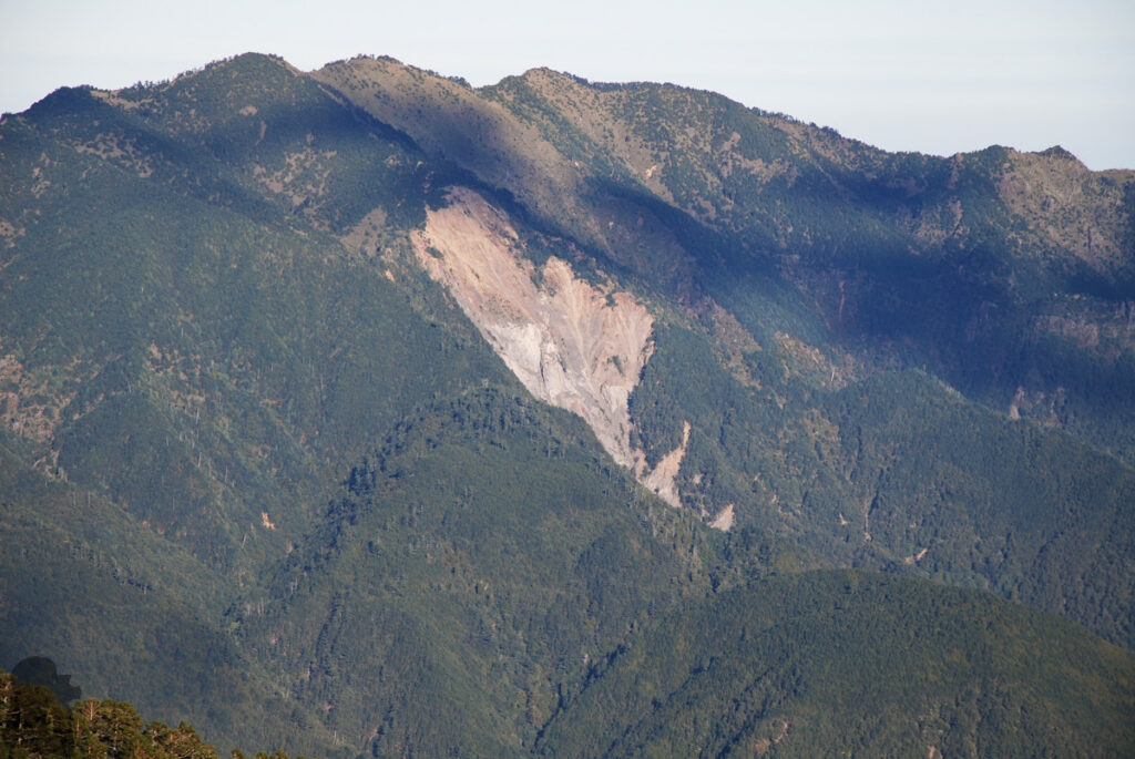
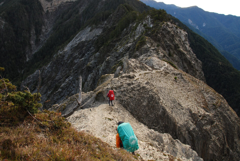
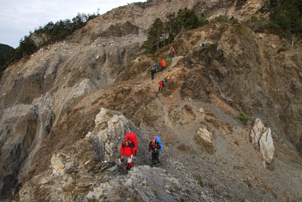
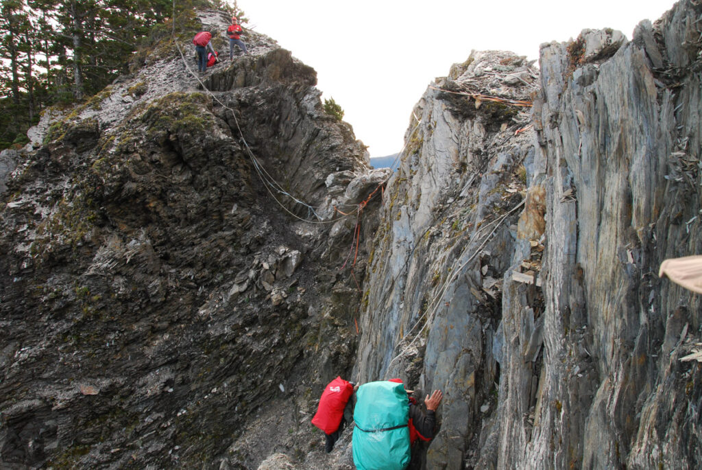
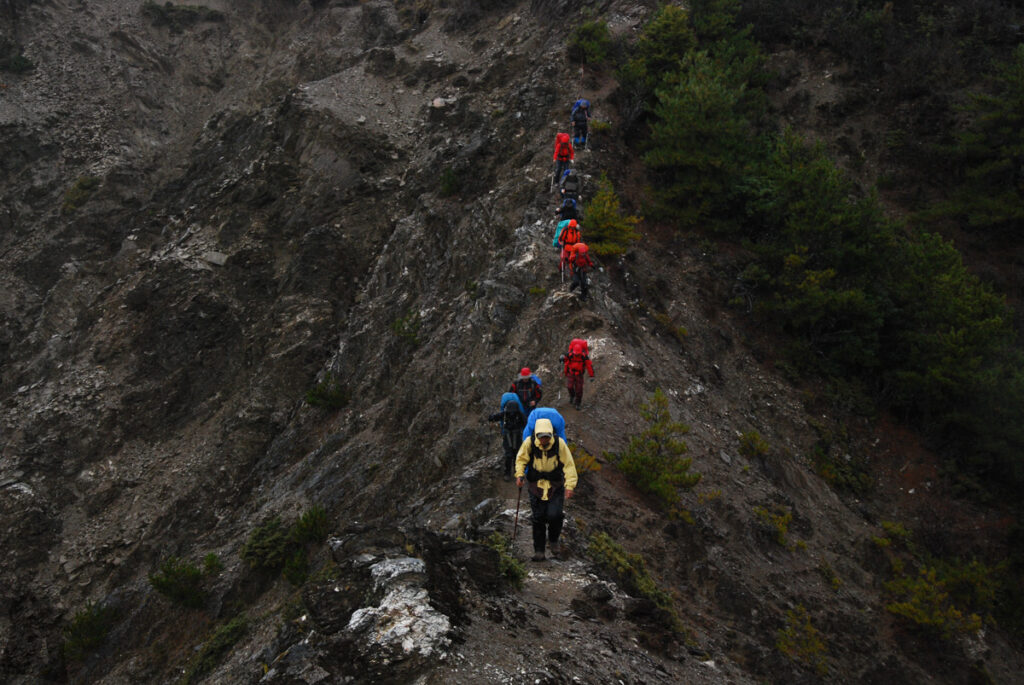
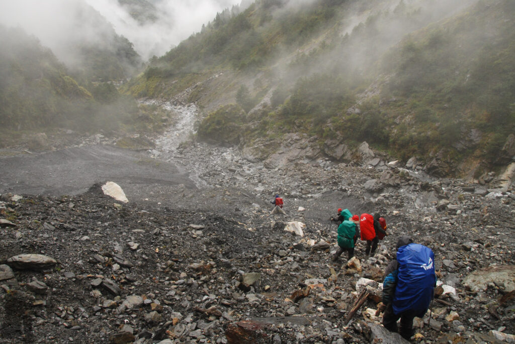
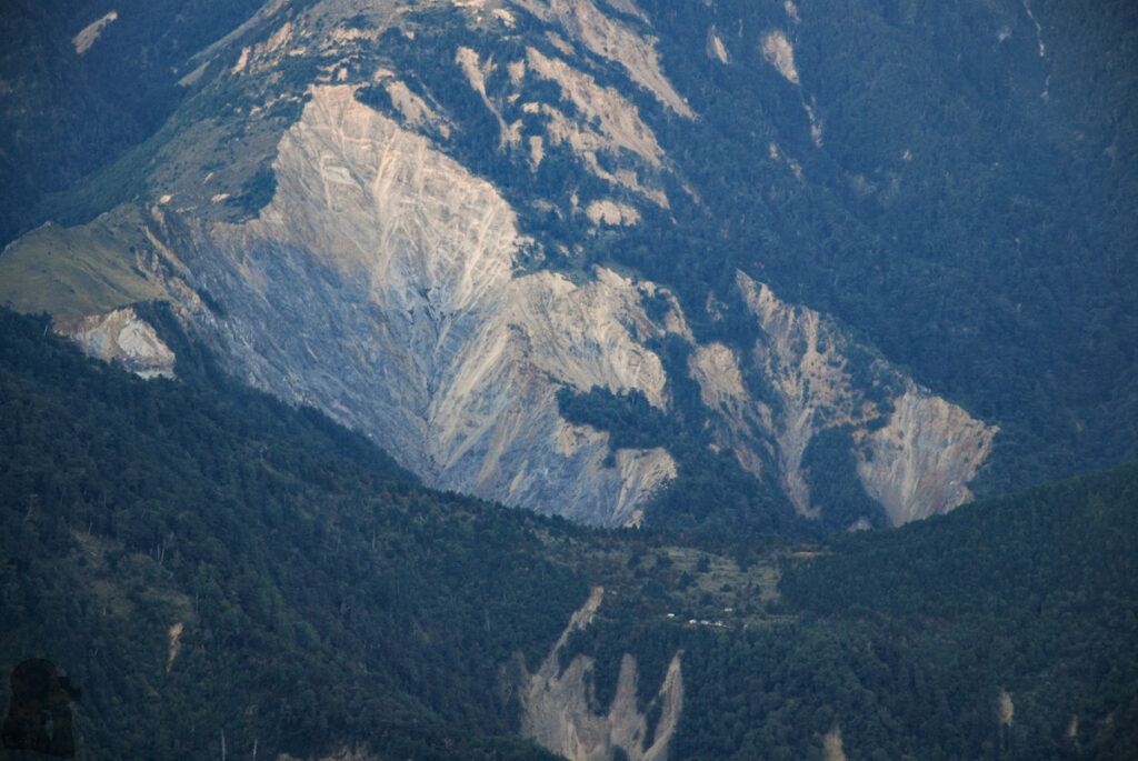
The trail condition is subject to any bad weather. You may avoid unnecessary risks by not hiking soon after any severe weather or a big earthquake. Batongguan Traversing Trail is very susceptible to landslides, particularly at some locations. Some damaged or collapsed sections along the trail are permanent as there is no way to fix them. You will have to cross these spots carefully. Wherever a detour is available, please follow the trail markers and signs to bypass the impassible sections.
The day hike to Penjushan (盆駒山) (or Jyupenshan, the common incorrect name) is a demanding side trip which will take a full day to finish. If someone is already not well before arriving Mabolasih Cabin (馬博山屋), do consider giving up this side trip and stay in the cabin to recover. For hikers who do not wish to accomplish all Baiyue hikes, the trip to Penjushan is optional.
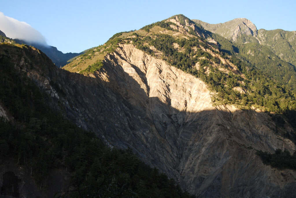
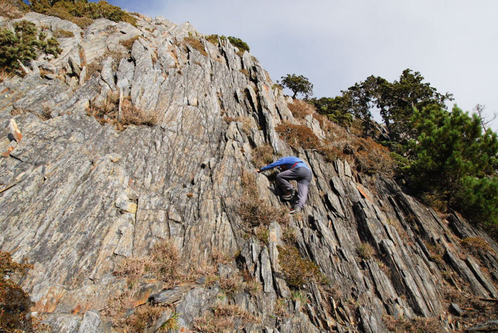
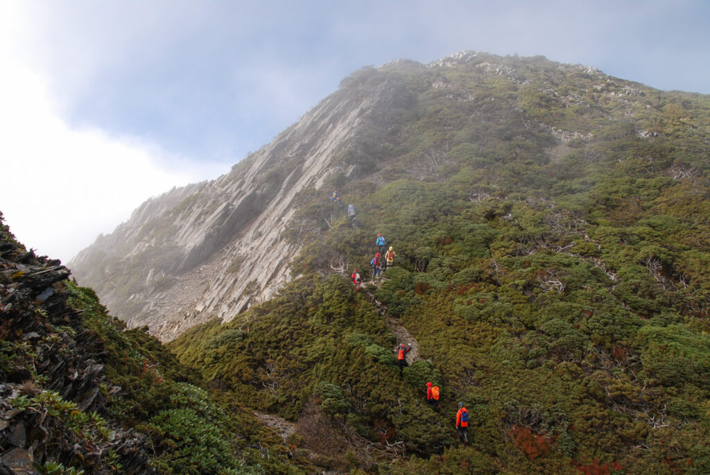
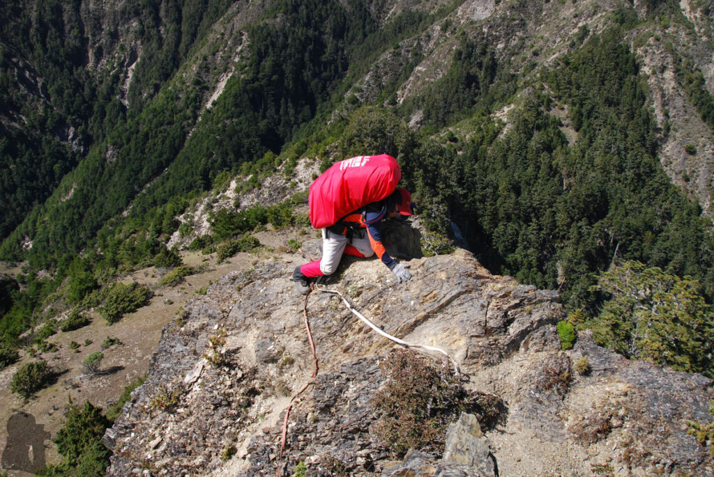
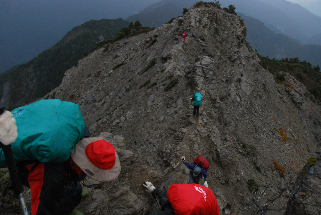
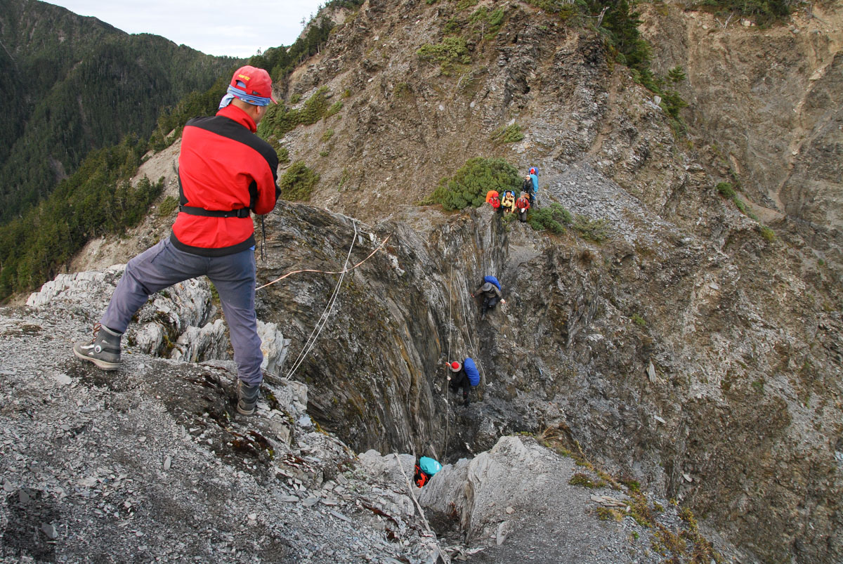
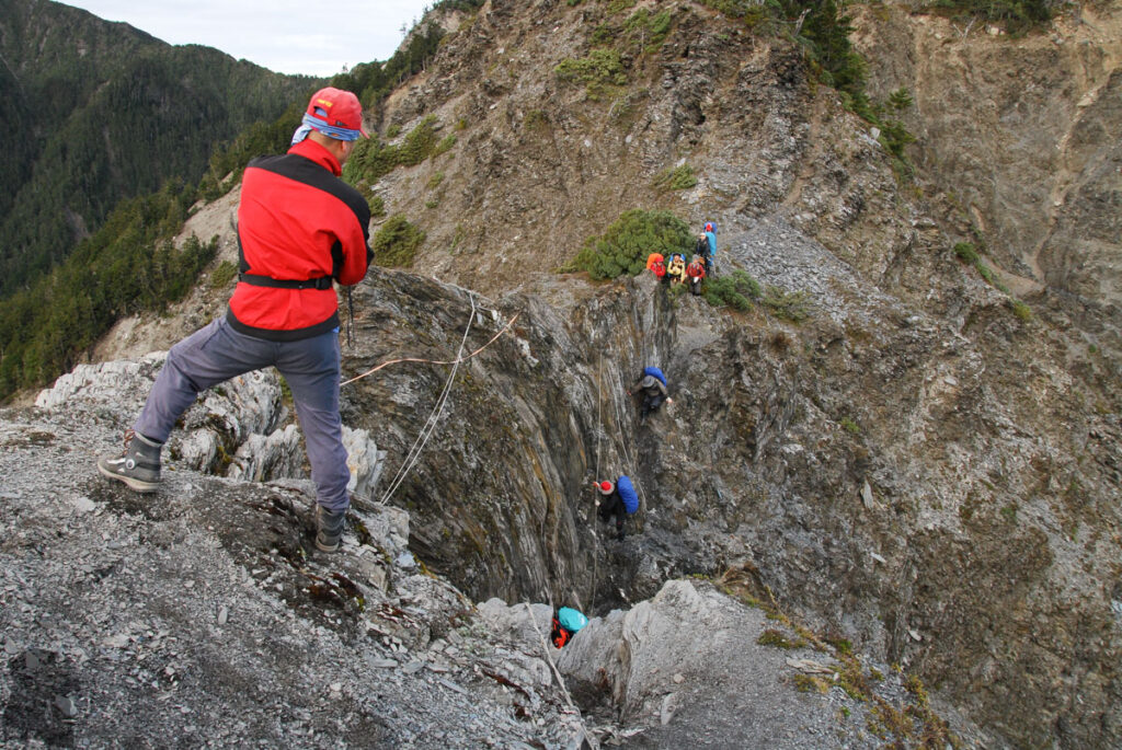
Wulameng Cliff (烏拉孟斷崖), at the eastern side of Mabolasih Cabin, as well as Tabila Cliff (塔比拉斷崖), to the east of Malijiananshan East Peak (馬利加南山東峰; also called Tabila East Peak 塔比拉東山), are well-known for their dangerous terrain, but providing you hike in a reasonable weather, there is no great difficulty to pass them. However, a fatal fall is possible whenever the trail is slippery.
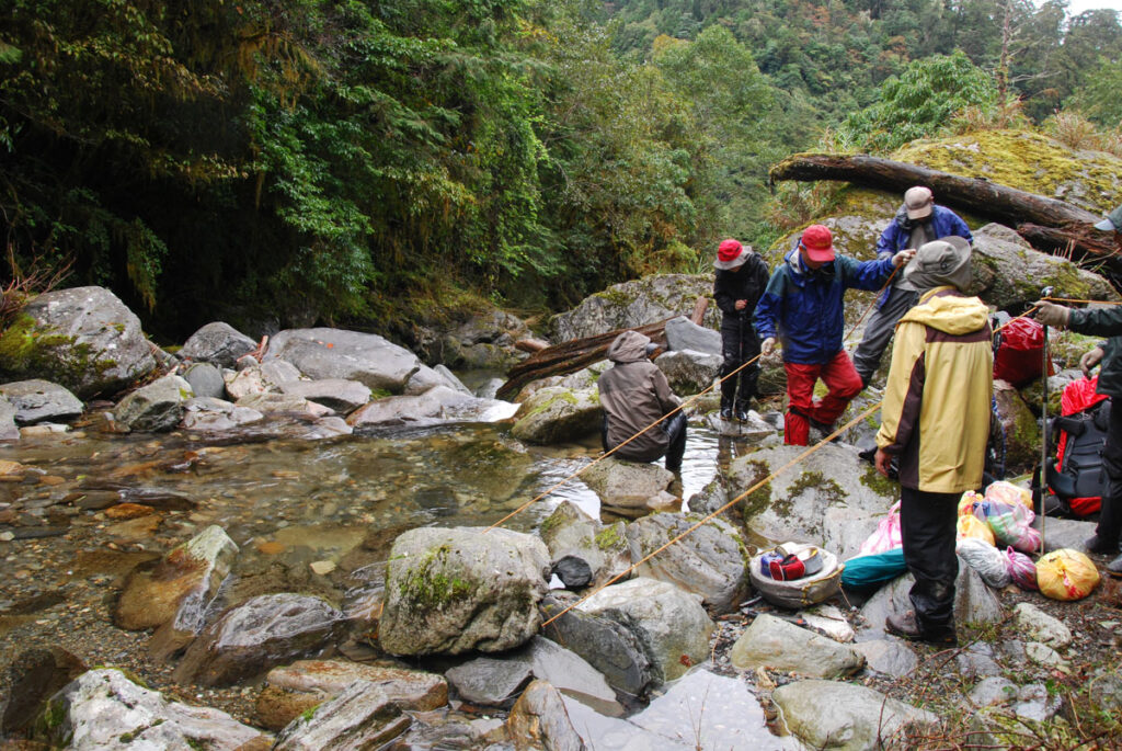
On most of the trail navigation / route-finding should not be difficult to an experienced hiker as this trail is managed by the national park and there are many GPX files you can download. But this skill is essential on the last day from the section where you are around Yulin Bridge Cliff (玉林橋大崩壁 This bridge no longer exists) until you are on the passable part of Zhongping Forest Road. It takes some tricky route-finding / walking technique to descend to the river and then find the correct path to rejoin the forest road. You may want to get the update from FB pages and use the most recent GPX files.
My trip note
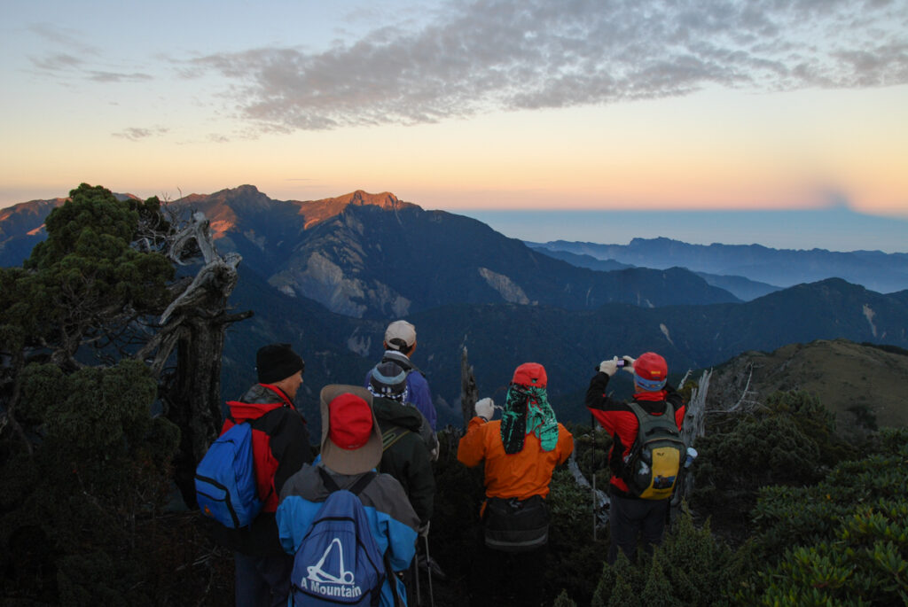
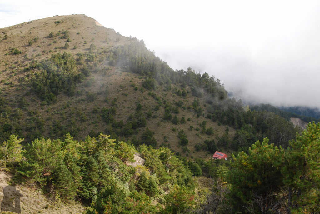
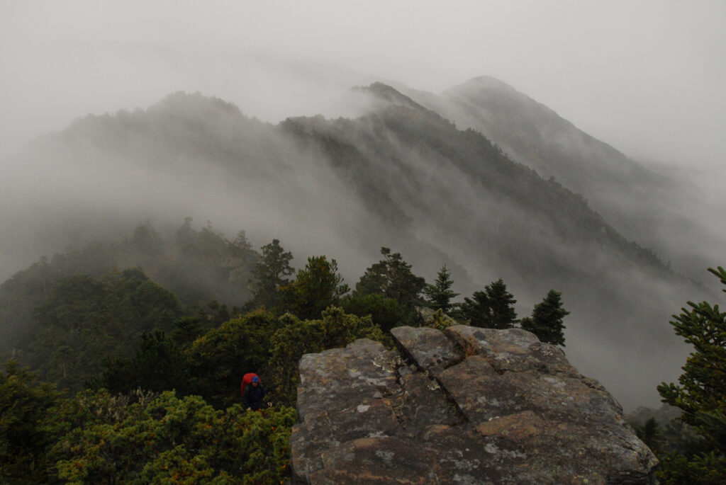
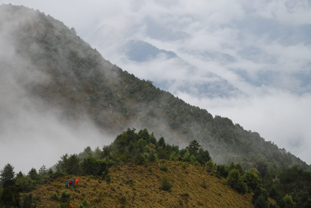
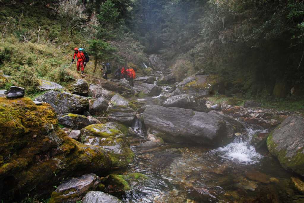
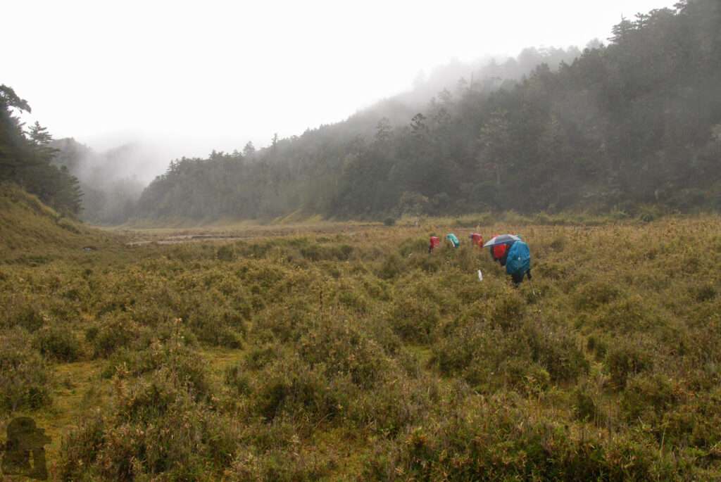
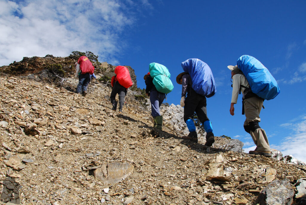
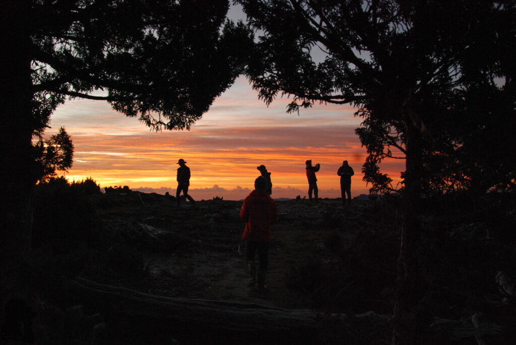
I hiked on Mabolasih Trail in a guided group in 2011. We did not meet any other teams throughout this 8-day hike. The scenery was breathtaking until the last three days when the rainfall started. In the afternoon before the final day we camped by a stream under a tarp while the rain kept dropping through the night. Once in a while the tarp had to be poked from the bottom with a hiking pole to let go the water before it crushing our shelter.
Zhongping Forest Road is full of big and fat blood-sucking leeches; it was the only place where I saw them in rainbow color. I am pretty sure that this creature is still vigorous there, particularly on raining days. This was an impressive hike, but for some reason it is never on my priority list to hike again.
Photos