The content on this website is published in English. I cannot guarantee the quality of the translated text generated by the plugin of this website. The machine-translated “names” and “terminology” are often inconsistent and/or incorrect. If it looks confusing, please switch back to the English version.
Disclaimer: Information such as the locations or the trails shown on the maps of this website might be inaccurate, misleading or out-of-date. They are only the simple illustration for the ranges of the hiking trails or the points of interest. Please prepare your own navigation device, apps, topo maps, and GPX files for hiking.
Source: windy.com
Source: windy.com
Source: windy.com
About the Trail:
The difficulty rating: ★★★★★
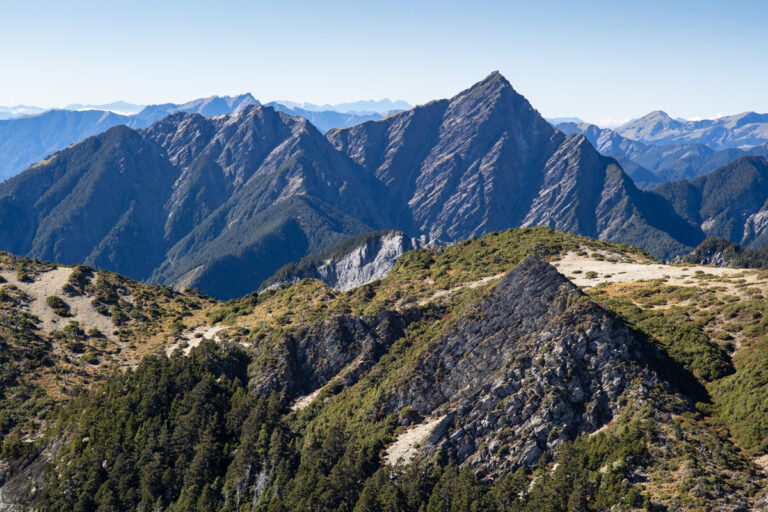
South Section 3 (南三段), or more formally, the Danda-Dongjun Traverse (丹大-東郡橫斷), is the longest hiking trail in Taiwan that crosses the mid-section of the Central Mountain Range from east to west. Although there are a few trails that have more mileages than South Section 3 but the trail itself is the only one I know which may take nine or ten days to complete for an ordinary hiker. Some hikers even call it the “ultimate trail”, a somewhat exaggerated term. To me this is the trail that covers most of the alpine land features in Taiwan and the trace of human activity from the past. This is also the trail where hikers can witness the core, the most “inland” region in the mountainous Formosa, without risking too much in the wilderness (but it is still a very challenging hike). During my first hike there in 2011, I was amazed by the scenery along the middle section of the trail, where the mountains, gorges and cliffs all looked so pristine without any sign of human influence. When we dropped off at Taipei Main Station after staying ten days in the mountains, I found my ears were buzzed by the sounds weirdly from the crowded streets. I have never ever had such a feeling after a hike; it must be the magic charm of the trail that reshaped my sense.
The Routes
The route of South Section 3 had several major changes since a couple of years ago. I would try to mention some key locations along the current trail and also the old trail. If you are keen to hike for South Section 3, many hikers in Taiwan use this offline topo map, Rudy MAPs (魯地圖), and you can download the latest GPX files for the current route from Hiking Note (use the keyword “南三段”).
The current route (in 2025):
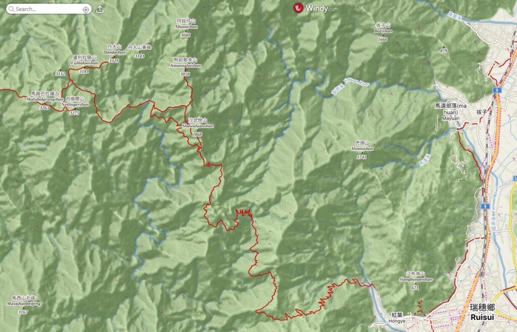
Starting the hike from Ruisui Forest Road (瑞穗林道) like most hikers, follows the trail markers along this abandoned road until its end; make sure at 34K you veer to the current route via “Shawuluan Grassland” (沙武巒草原). From there, the trail goes northward first, then turns west. Following the ridge, the trail gradually drops to Taiping River East & West Source Campsites (太平溪東源、西源營地). After crossing both streams, you will ascend from the valley steeply to a spur and roughly move westward first and then sidle below the Neilingershan (內嶺爾山) until reaching the spacious campsite, Taiping River Source Campsite (太平溪源營地). This is also the trail junction for the side trip to Dandashan (丹大山), the first Baiyue peak to climb after days of hiking. Soon leaving Taiping River Source, the steep main trail brings you back to the ridge. The Sancha Campsite (三叉營地) is at the junction to Neilingershan 內嶺爾山. From here you will head to west again along the ridge leading to Yixiqingmazhishan (義西請馬至山), where is about in the middle point of South Section 3.
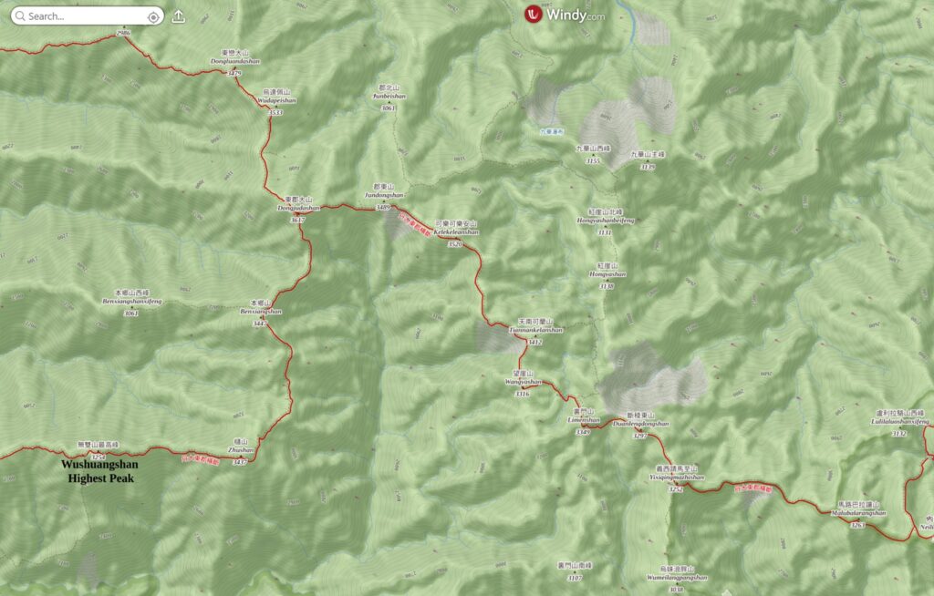
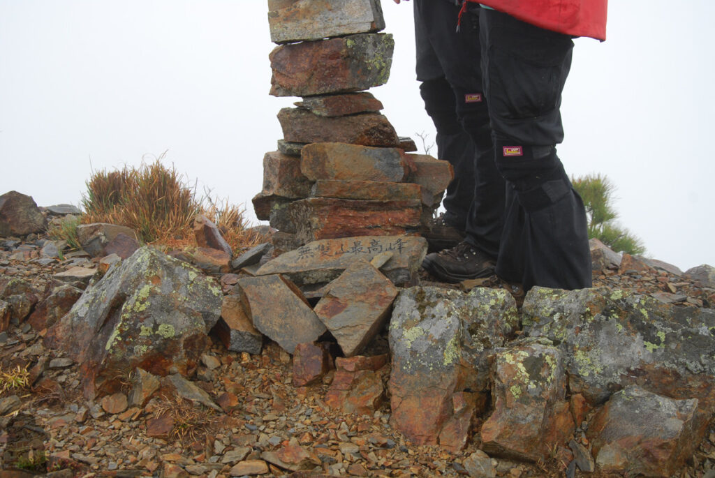
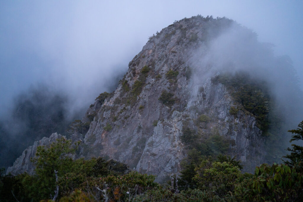
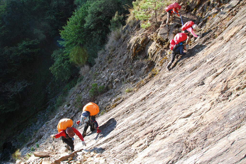
Then the trail veers northwesterly, passing the cliff under Duanlengdongshan and Duanlengxishan (斷稜東、西山), and rises sharply to Limenshan (裏門山) first and then descends gently to Danda River Source Campsite (丹大溪源營地). In the following morning you will climb back to the ridge and move toward Jundongshan (郡東山) with the spectacular view around. After Jundongshan the trail heads westward and drops to a deep saddle before the steep ascent to Dongjundashan (東郡大山), the most prominent and the highest peak of South Section 3. The windy campsite beside the summit of Dongjundashan is the trail junction for the side trip to Dongluandashan (東巒大山). From Dongjundashan the trail heads southward, leading to the crunchy Benxiangshan (本鄉山); before reaching Zhushan (櫧山) there are more than one spots that you can camp but only Zhushan North Saddle Campsite (櫧山北鞍營地) has fresh water in a creek below the ridge. Shortly before the top of Zhushan, the trail turns to west again and you may approach the last Bayue peak of South Section3, Wushuangshan (無雙山), in a couple of hours after leaving Zhushan. Along the sheer rock faces you will scale the threes peaks of Wushuangshan one by one, the East Peak, Highest Peak and Trig Point Peak (無雙東峰、最高峰、基點峰). Your selfie or group photo at the trig point of Wushuangshan is not the end of the trip, just the beginning of the journey to return to civilization.
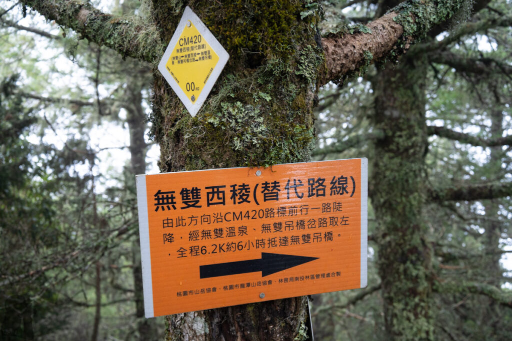
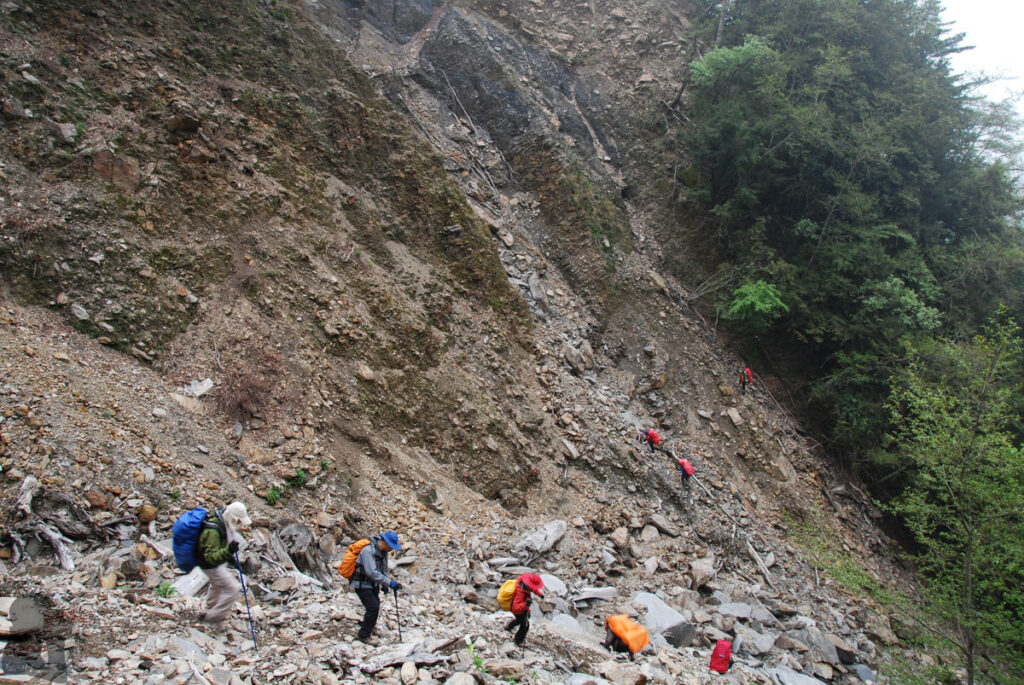
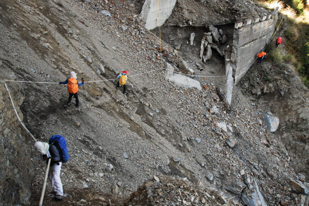
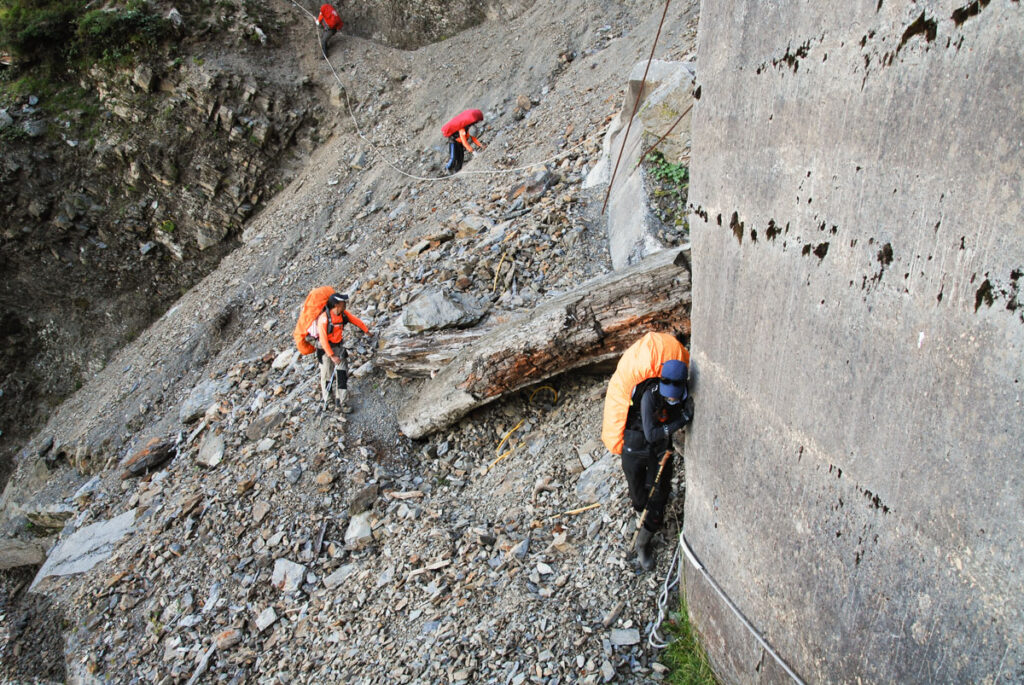
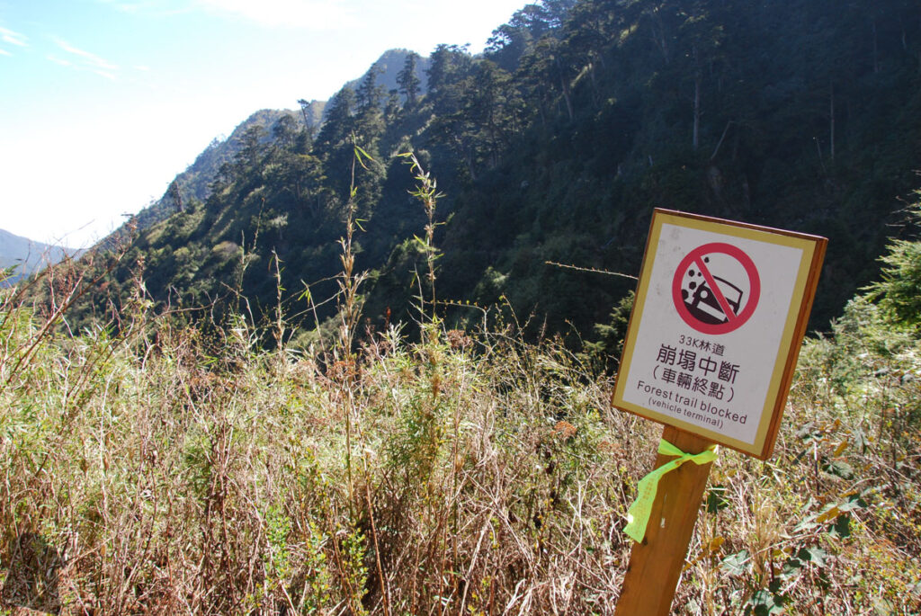
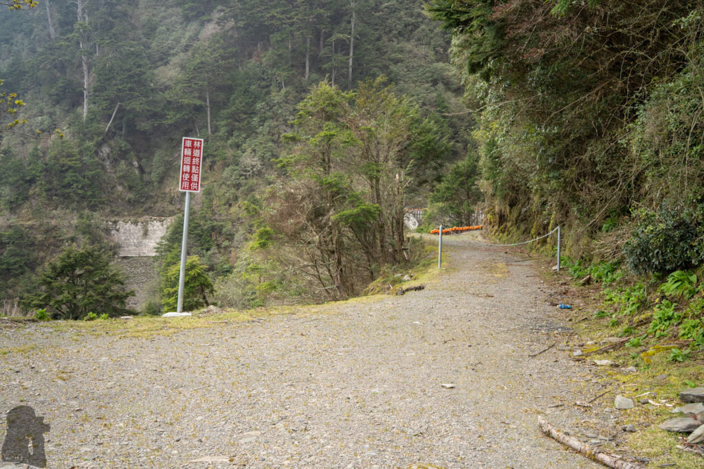
The current route leaving Wushuangshan is to descend via its western ridge, Wushuang West Ridge (無雙西稜), to reach Junda River (郡大溪) where the Wushuang Hot Spring (無雙溫泉) locates. This is a huge descent for over 1800 m. When you cross the river successfully, you may relax in the hot spring and camp at the terrace above. The trail follows Katalang River (喀塔朗溪) upstream, toward west for a while with a few short river crossings. At Katalang River Campsite (喀塔朗溪營地) the trail veers off the river and begins the steep climb for 600 m to join the Junda Forest Road (郡大林道) at 42K. If Junda Forest Road is open, your booked van may pick you up at 33K, where is the possible, the furthest location that a vehicle may reach into this forest road. There are at least two big landslides and a few smaller ones that you need to negotiate for this last 9 km. Once you have gotten on the van, enjoy the bumpy ride for the next three hours until leaving Junda Forest Road.
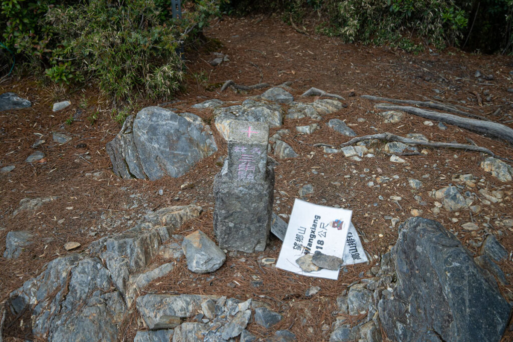
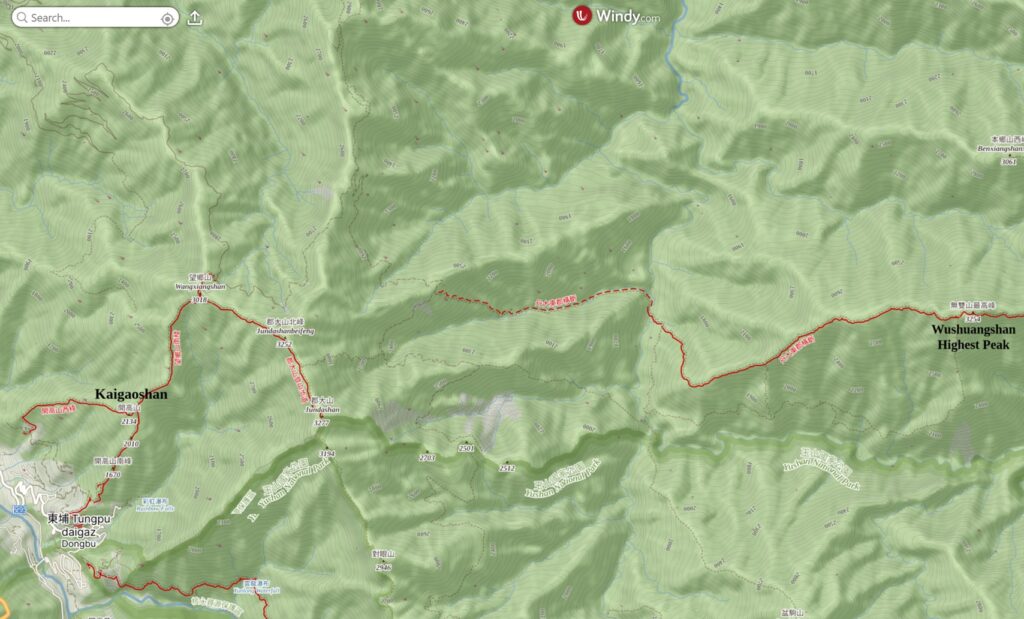
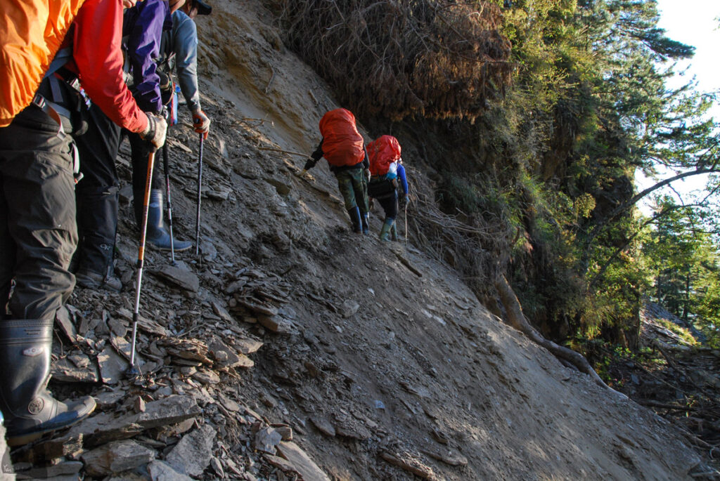
If the forest road is closed due to damage / maintenance, or you want to save some money from transportation, there is an alternative route to finish the last leg of the trip. Starting the hike from the trail head of Jundashan (郡大山) at 32K and then you will reach Wangxiangshan (望鄉山) not long after leaving the forest road. Descend via its southern ridge toward Kaigaoshan (開高山). Before Kaigaoshan’s trig point there is a trail junction that you can carry on the descent on Kaigaoshan South Ridge (開高山南稜). Eventually the trail will meet a road near some farmland, continue the walk along the road you will arrive the town of Dongpu (東埔). Find a nice hotel to bath in hot spring coming from the tap and have your knees properly rested after this 1800 m descent.
The old route & Alternative routes
There are the two major route changes on South Section 3 since several years ago. This is just for your information. If you use the recent GPX files for South Section 3 and your hike goes on smoothly, you may not even really need to know the following information.
The first change is at the big sign at 34K Campsite of Ruisui Forest Road; you must carry on along the zigzag forest road until its end to arrive Shawuluan Grassland. There should be some trail markers to guide you to the correct course.
(Hikers no longer take the old route via the Iron-Wire Cliff (鐵線斷崖) after 34K campsite to Taiping River East & West Source Campsite. It is said this old section is too dangerous and therefore the current trail which passes beneath Shawuluanshan (沙武巒山) is used as a detour in the beginning. But it has replaced the old route in recent years. Without any hikers’ visit, I guess the old trail is totally gone. I recall the trail at Iron-Wire Cliff was very narrow and covered by dense plants. I had to move step by step carefully with both hands holding on grass or trees on the steep slope. There were quite a few moments that I could not even see if my feet were on a solid ground or not.)
The second important change is that nowadays hikers do not use the old route after Wushuangshan, which is Wushuangshan – Yalishi Campsite (亞力士營地) – Wushuang Community (無雙部落) – Wushuang Swing Bridge (無雙吊橋) – Wuwalabi River Campsite (烏瓦拉鼻溪營地) – 45K, Junda Forest Road.
The old route descends 1300 m from Wushuangshan to Yalishi Campsite. The following section between Yalishi Campsite and Wushuang Community, a historic site of Bunun (布農族) community, has many huge landslips and is overgrown, which is the top reason that this route had little visitors in the past few years. After crossing the broken Wushuang Swing Bridge, the trail passes Wuwalabi River Campsite before ascending for 800 m to reach the 45K on Junda Forest Road.
Walk ahead further to 42K you will see the junction where the trail coming from Wushuang Hot Spring joins the road and so this is also the spot that the old route and the current route merge.
Occasionally people still passed the section of the old trail between Wushuang Swing Bridge and Junda Forest Road. This usually happened when Junda River was swelling. So hikers had to take an alternative route in order to use the swing bridge. After descending from Wushuangshan via Wushuang West Ridge there are two (or even three) possible routes to join the old trail around Wushuang Community before you get to Junda River. However, I did not hike on either of them. But I heard the route closest to the Junda River was a dangerous route due to the slips.
Transportation
If you hike solo or in a small group, you may take the train to Ruisui and hire an experienced driver to take you to the Ruisui Forest Road. Before entering the bumpy forest road, the vehicle needs to cross Hongye River (紅葉溪) first, not a task that every vehicle can handle. Make sure your driver is familiar with Ruisui Forest Road or similar tasks.
On the other end of South Section 3, when Junda Forest Road is fully open, hikers were usually picked up at 33K on the last day of the hike. This transportation service is pricey for solo hiker or a smaller group. When the forest road is close or if you are willing to hike to Dongpu via Wangxiangshan – Kaigaoshan South Ridge, there are buses, Route 6732 and 6734, to take you from Dongpu to Shueili (水里).
Hiking Safety on South Section 3:
You may want to read through the section on this website, “Hiking Safety in Taiwan“, for more insight.
The Weather
Weather is always the dominating factor for hiking safety particularly for a long distance hike. When Junda Forest Road is open, most hikers may complete the current route in nine days. Some very fast hikers may get it done in seven or even six days. No matter how fast you are, it is possible to see a typhoon approaching Taiwan while you still need a couple of days to leave the mountains.
Not only the typhoons, other severe weather result from a stationary front or southwestern flow can bring in heavy rain; a strong cold front may lead to considerable amount of snowfall. Try not to have a long hike in these seasons although you may find there are not many ideal periods in a year. I hiked on South Section 3 twice in April, and twice in October. Except for the failed attempt in October 2024 due to the endless rain, all other three hikes were successful. Of course this is just a very small sample size from my own experience. But I guess April might be a good window for this hike because this is the time which is less likely to snow and it is before the coming plum rain season and the typhoon season in Taiwan. There may be still some raining days when hiking on South Section 3 in April, which is normal and actually nobody can really guarantee a good weather in the mountains. You may want to read through the Q & As about weather forecast in Taiwan.
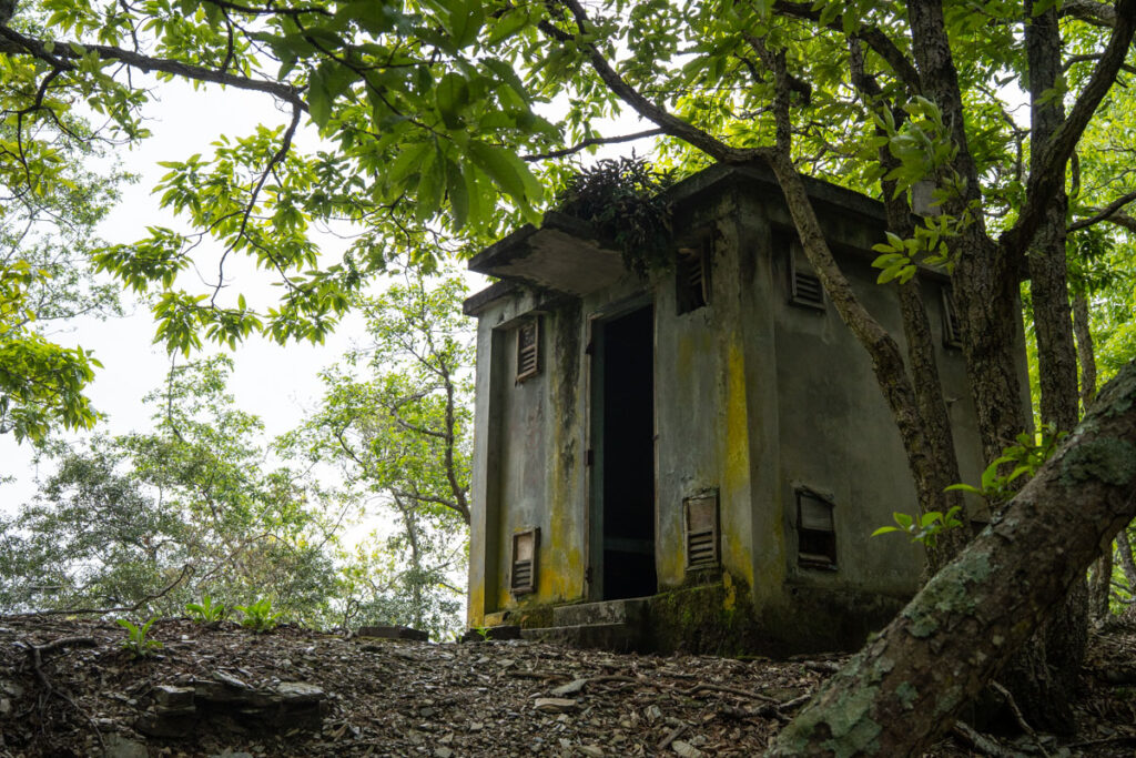
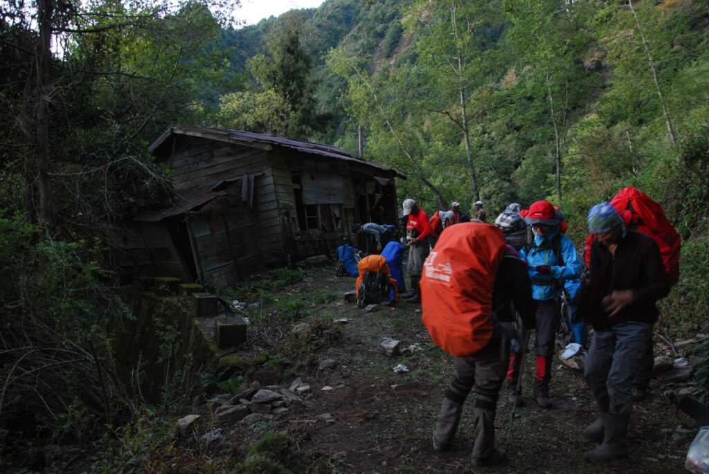
Please also be aware that there is no shelter at all along the trail between two forest roads. The hut at 28K of Ruisui Forest Road still looked fine and the old / broken huts at 43K and 36K of Junda Forest Road might offer some protection but no one can know how safe to stay in these abandoned buildings. Basically you have to rely solely on your tent to face the elements. Generally speaking, many campsites between Yixiqingmazhishan and Zhushan North Saddle Campsite are located on high and exposed ridges where you should avoid to stay if you really are unable to return or finish the hike before the severe weather strikes.
River Crossing
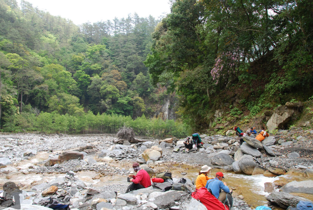
River crossing is a risk that is highly related to the weather condition: it is the concern when you ford Junda River. From my own experience and the videos I watched, the river is normally about thigh to bottom high on a fine day. If it has been raining considerably while you are approaching Wushuangshan, it is very likely the river has swollen. You may wait on the bank for the river to subside. Or consider to take an alternative route to Wushuang Community via Wushuang West Ridge. Therefore you need to do some research for that section of the old trail as well in order to make a plan B.
Unfortunately GPX files from someone who had used the alternative routes were very few. Providing you are lucky like me, there might be ropes fixed on both side of the banks to help you cross the river. I used a short rope and a carabiner to attach myself to the fixed rope, adding some extra safety. The ropes and the boulders where the ropes were fixed to may merely persist for a couple of months until a flood washing them away. It can be tricky and risky to ford without any fixed rope there especially when you hike solo.
Navigation and Route-finding
Again, an offline topo map and recent GPX files can assist you a lots in this regard. I highly recommend storing more than one GPX files on your device. When the route-finding is confusing, you have more reference to check.
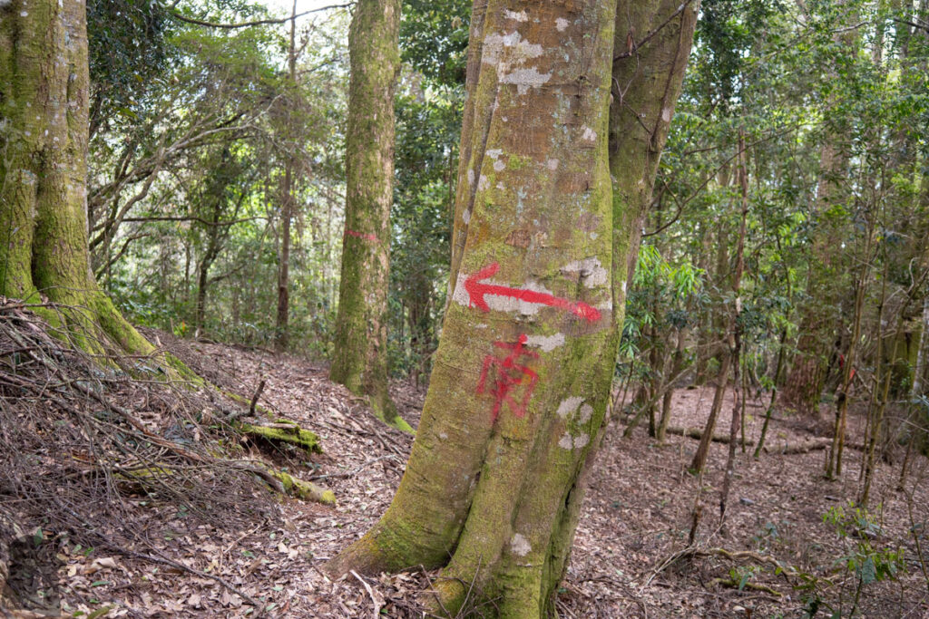
Basically South Section 3 is not within any national park, meaning the trail is not regularly inspected or maintained. The trail, except for the sections on the forest roads, is the impact trail formed by hikers’ footsteps. Since several years ago the trail between two forest roads are signed with diamond plates which show the mileage of different sections. This big mission was accomplished by several generous hiking organizations. These reflective and durable signs are very helpful especially when you walk in the dark. But sometimes you can not spot the next sign because they are either hidden in the forest or simply dropped from the trees. The trail markers, the strips (many were very wore out) hanging on the plants, or cairns can help you locate the next sign.
From Malubalarangshan West Peak (馬路巴拉讓西峰) to Dongjundashan or even Benxiangshan there are many sections of the trail that have collapsed, falling down to the cliffs, or masked by fallen trees due to the typhoons. As the trail is not recognizable from time to time, you will need to maintain the right and safe course with your navigation device and sound judgment.
The Weight of your Backpack
A reasonable expectation might be 20 kg for a man and 15 kg for a female. You can make your backpack lighter or heavier depending on your schedule, the purpose of the hike and how much you need to eat. Be aware that there are only a few locations you can get water along the trail. You may have to carry several liters of water to move for a while. Consider this extra weight. My backpack was around 27 kg on the first day of the recent 11-day hike for South Section 3, including five kg or more were from photography gears. This is the trail that many hikers hire porters to reduce their burden. If you hike solo or only with the other person, this service may be expensive for the entire trip.
Where to find Water
(This is the information I gathered before the hike in 2025. I only visited some of these locations.)
Here is the list of the locations (from east to west) where water may be available. Whenever a fine weather lasts for a period of time, it is possible that you need to go further downstream of the creek to spot water. There should be signs and trail tags which indicate the path. Some GPX files include the routes they went to get water. Please use Rudy MAPs to locate the mileages mentioned below on the map. Also these mileages are only for your reference. These signs may not exist on-site anymore or show different mileages from the following text and the map.
19K Concrete Bridge, Ruisui Forest Road (瑞穗林道19K水泥橋): the starting point of the hike when the road condition allows.
28K Hut, Ruisui Forest Road (瑞穗林道28K工寮): go down to the creek from the back of the hut.
34K Campsite, Ruisui Forest Road (瑞穗林道34K): head to the old route behind the big sign for only “several meters”, then you will hear the water flowing. When you fill up the water bag, remember to turn back to the correct trail.
Taiping River East & West Source Campsite (太平溪東源、西源): around mileage 5.3K to 5.4K; you can not miss them.
Taiping River Source Campsite (太平溪源): the stream before the campsite at mileage 10.7K to 10.8K; if the stream beside the campsite (11.1K) is dry, the other stream around there may still retain some water.
The campsite down Malubalarangshan West Peak (馬路巴拉讓西峰下營地): go northward to the valley from the campsite at 15.2K; from the waypoint it looks like you need to descend for 100 m to reach the pond.
Danda River Source Campsite (丹大溪源營地) and the stream nearby: around mileage 20.6K to 20.7K; and the other hidden campsite on the western side (my favorite spot)
Jundongshan West Saddle Campsite (郡東山西鞍營地): Go down the creek to the north of the saddle (from mileage 27.2K) until you can find the water.
The valley on the eastern side of the smooth saddle between Dongjundashan and Wudapeishan (烏達佩山): when you are on the way to Dongluandashan, the path leading to the valley starts around the half way between Dongjundashan and Wudapeishan. The path goes down eastward but is not obvious in the beginning. When you are in the correct creek, there should be some trail tags to follow. It won’t take too log before you can see clear flowing water.
Zhushan North Saddle Campsite (櫧山北鞍營地), mileage 32.5K to 32.6K: the water source is located on the eastern side of the ridge. It may be around 150 m lower than the campsite. The path to the creek is difficult and steep and it may take one hour to return to the campsite. I even read a trip report saying they installed own rope in order to reach the creek safely.
Junda River (郡大溪): unlimited supply around the hot spring
(Along the old route (east to west direction): before Yalishi Campsite (亞力士營地)、two or three creeks before Wushuang Community (無雙部落)、Wuwalabi River Campsite (烏瓦拉鼻溪營地)、the drip from the rock at 43K on Junda Forest Road)
Katalang River (喀塔朗溪): unlimited supply
Around 34K to 33K on Junda Forest Road: there should be two or more spots by the road that you can get water easily. If you need the additional trip via Kaigaoshan to Dongpu, this is the last place to fill your water bag.
Communication
When your hike begins, the spots with cellular coverage along Ruisui Forest Road are far and few. You may connect to mobile network or make a phone call at some peaks on the ridges but once you descend to a saddle, a valley or a campsite surrounded by hills, you don’t have any signal. The only place I know along the Junda Forest Road with mobile signal is the trail junction at 42K. That was where I rang a hotel in Dongpu to book a room. Before you arrive Junda Forest Road, Wushuangshan is probably your last location to make a call or check the weather forecast. Do consider to bring a satellite communicator such as Garmin inReach.
Creatures
Hornets: they are active and aggressive in autumn. Unfortunately it is also the peak season hikers head to South Section 3. There were two hot spots of hornet appearance along the old route, Wushuang Community, and the section between Wuwalabi River Campsite and 45K, Junda Forest Road. When I did my research for the current route, it seemed the hornets was not a concern. But I still recommend bringing a head net with you because when you descend from Wushuang West Ridge and climb up to Junda Forest Road, you will pass the altitude range that hornets live.
Leeches: Ruisui Forest Road like many other forest roads in eastern Taiwan is the paradise of this blood-sucking creature. They do not kill you but make you bleed and weak (mentally). For someone who have sensitive skin, it may take quite a while for the wounds to heal. If you choose a dry and cold period to hike and do not have any long breaks along the forest road, you can minimize the number of leech attacks. Once you finish Ruisui Forest Road, you are free from their harassment.
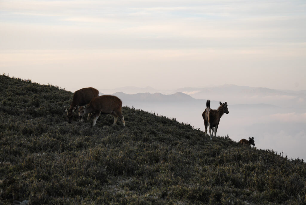
Sambar deer: they are cute and not aggressive. But they may steal your food or touch your gears if you do not pay attention to them. It is tragic to lose any gear and supply for a hike like this.
Blisters
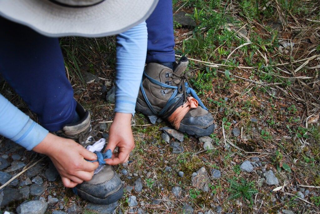
They are a pain in the ass. A teammate from one of the trips was even air-lifted away due to a serious wound starting from a broken blister. Someone described that his sole became bloody mess and the excruciating pain forced him to abort the hike. I found wrap my toes and cover the blister-prone areas with surgical tape in advance is very effective to prevent the development of blisters. Do it gently, do not influence the circulation.
Photos from Four Trips
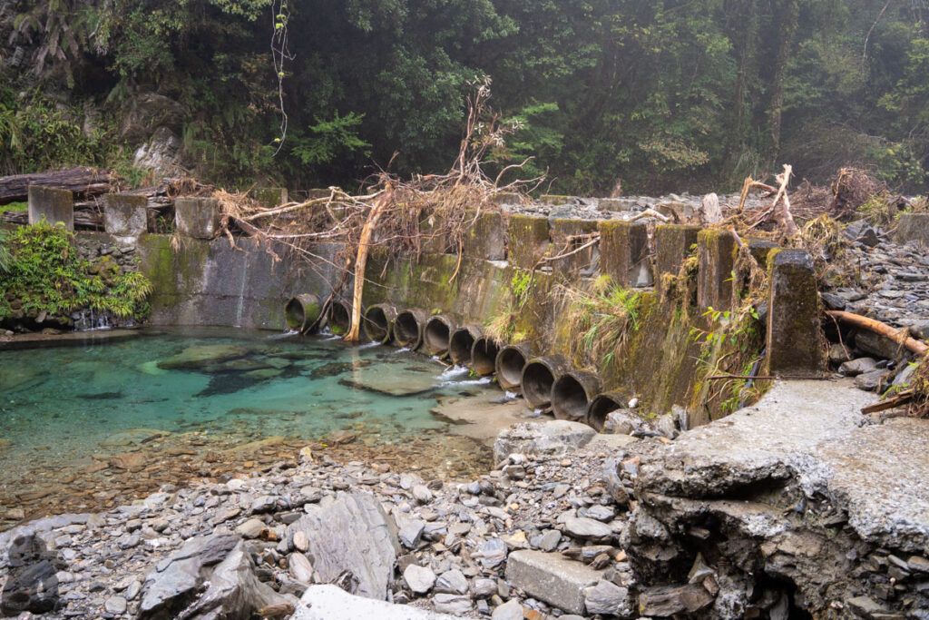
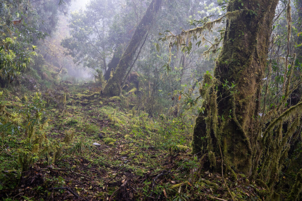
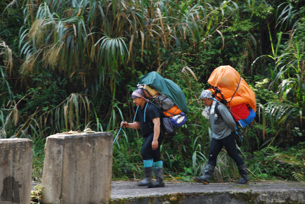
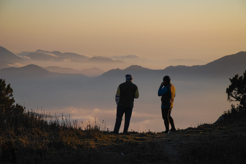
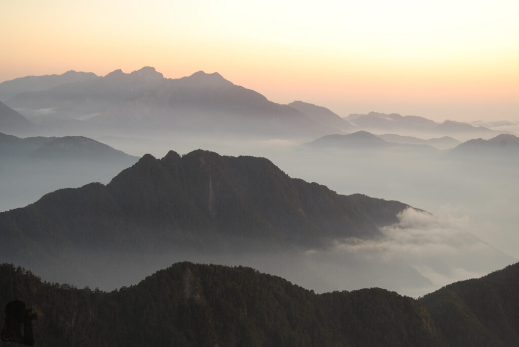
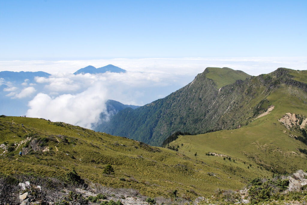
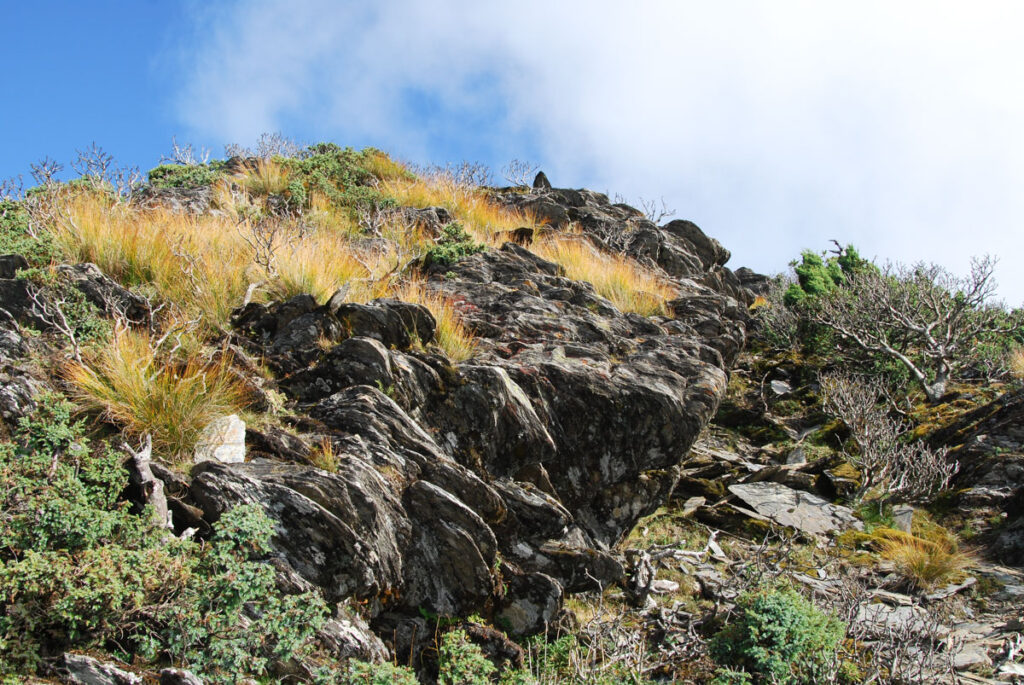
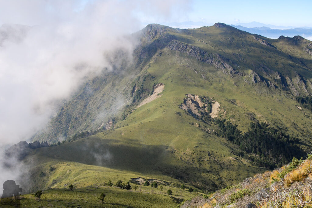
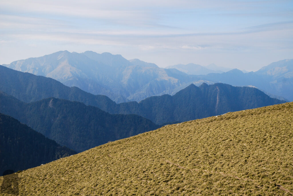
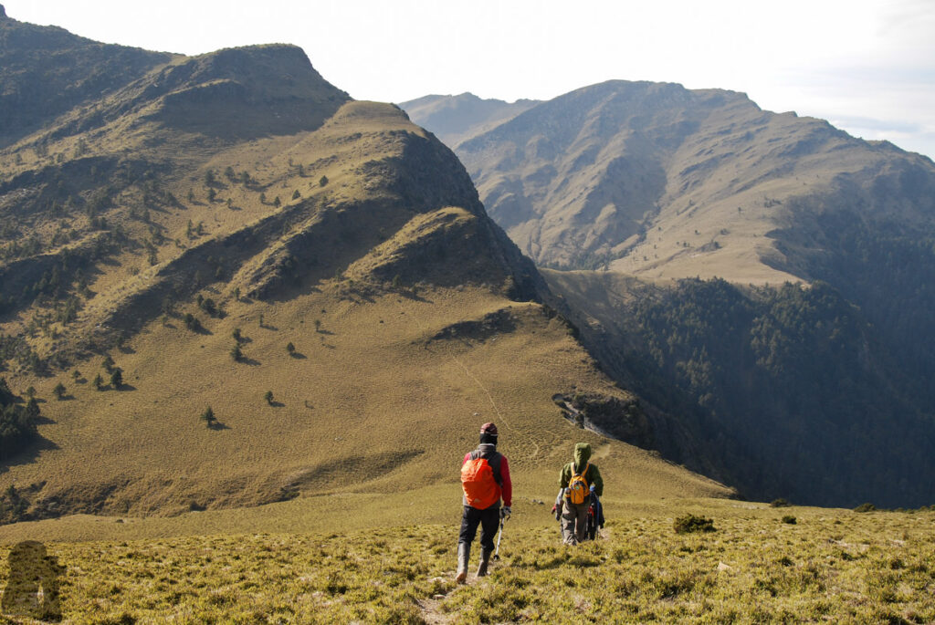
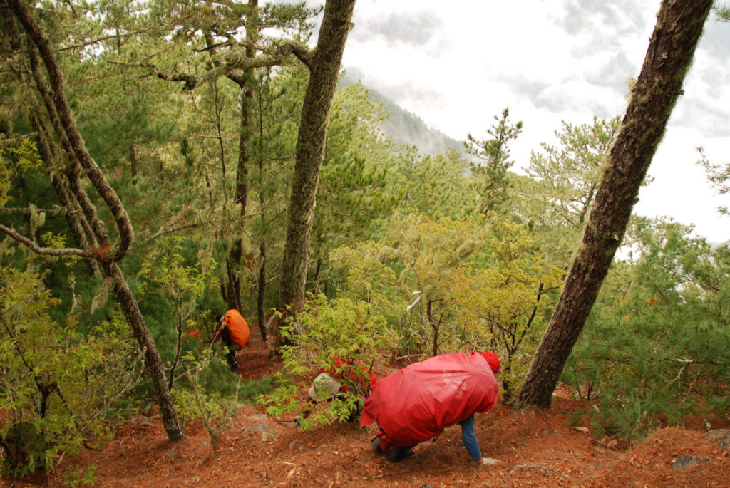
I was worried about being the slowest person of the team on this hike because I carried all my own stuff unlike most of the teammates, but it turned out fine.
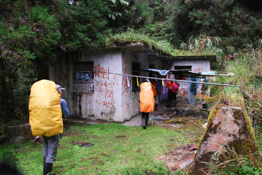
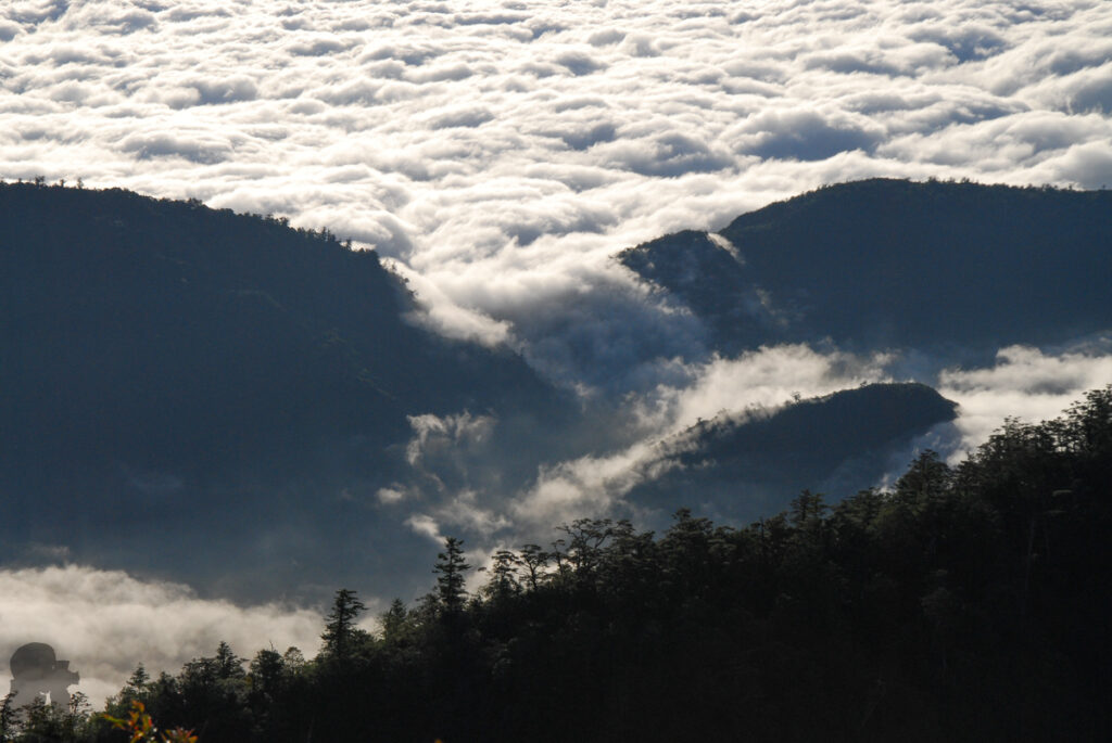
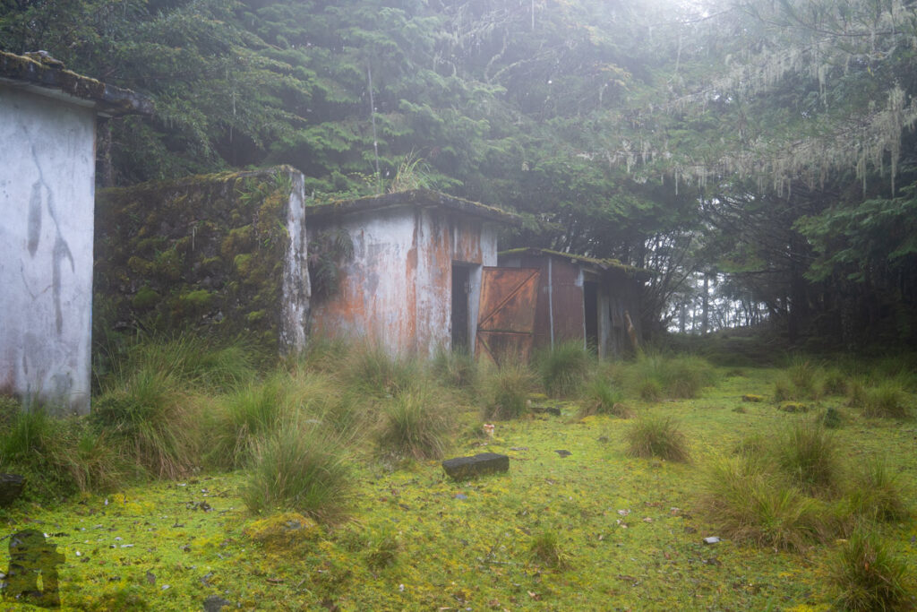
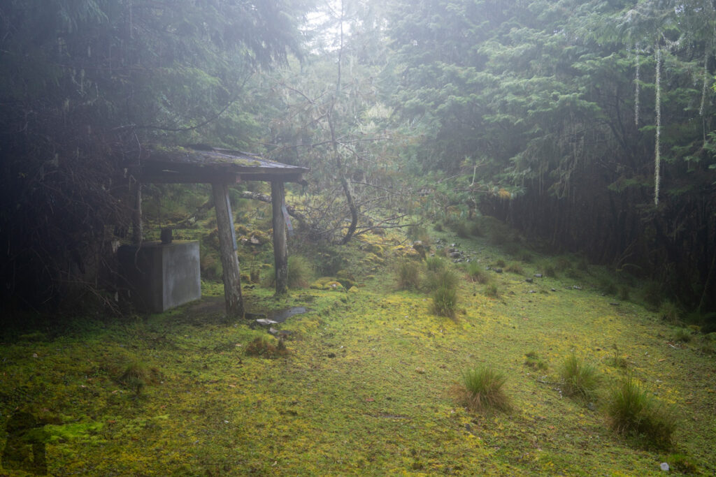
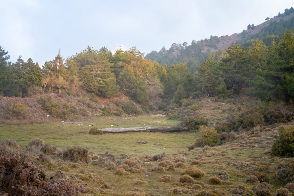
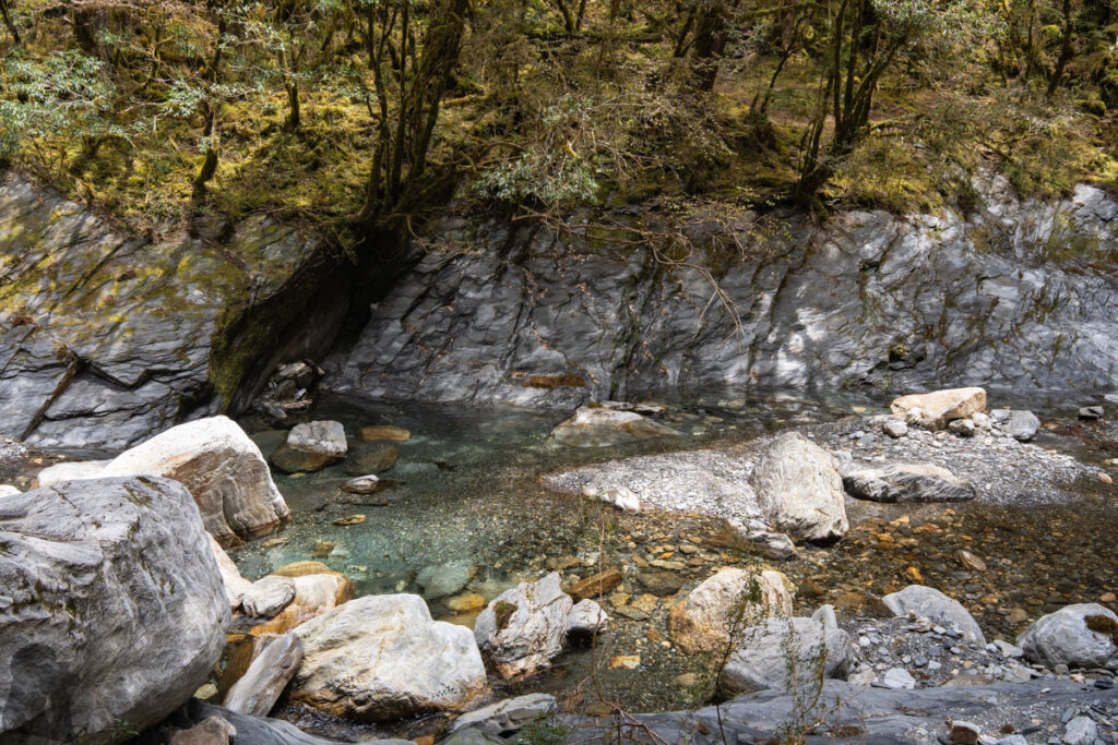
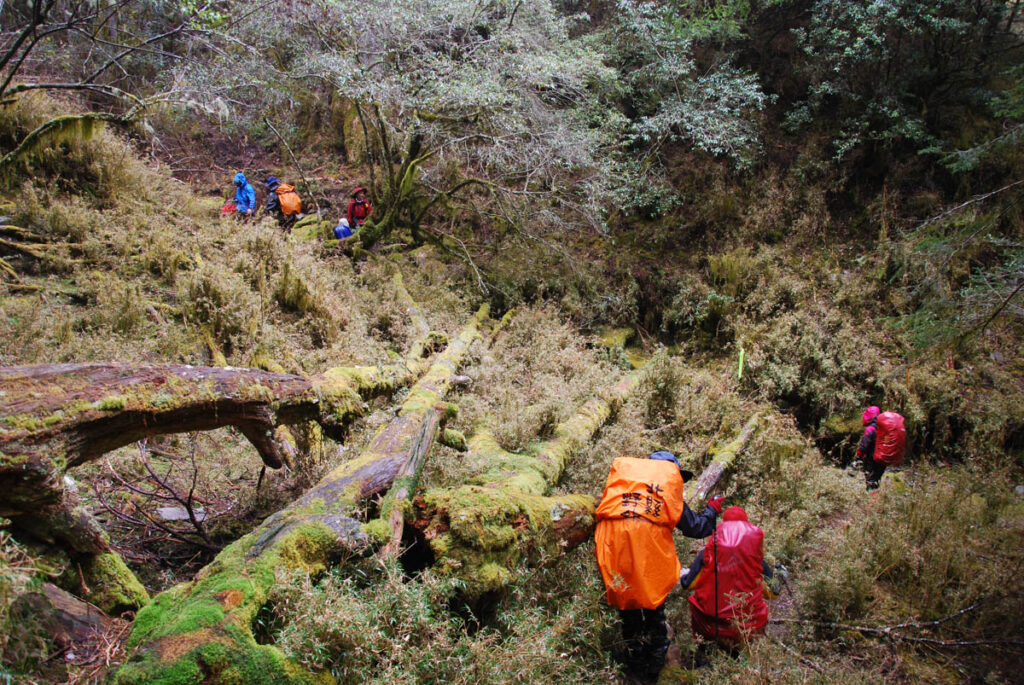
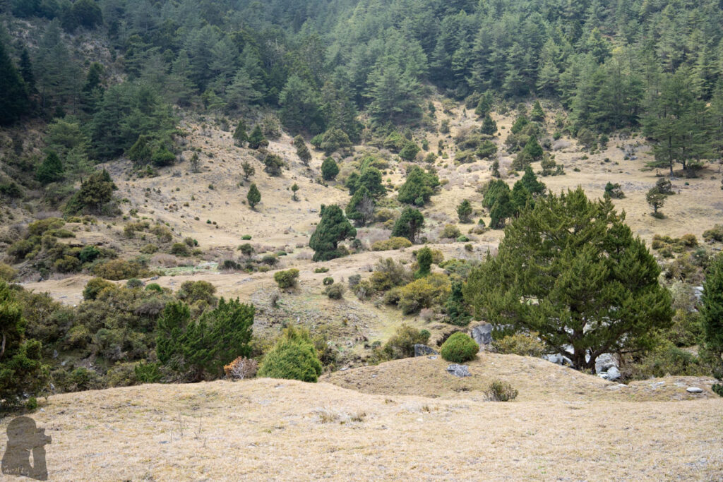
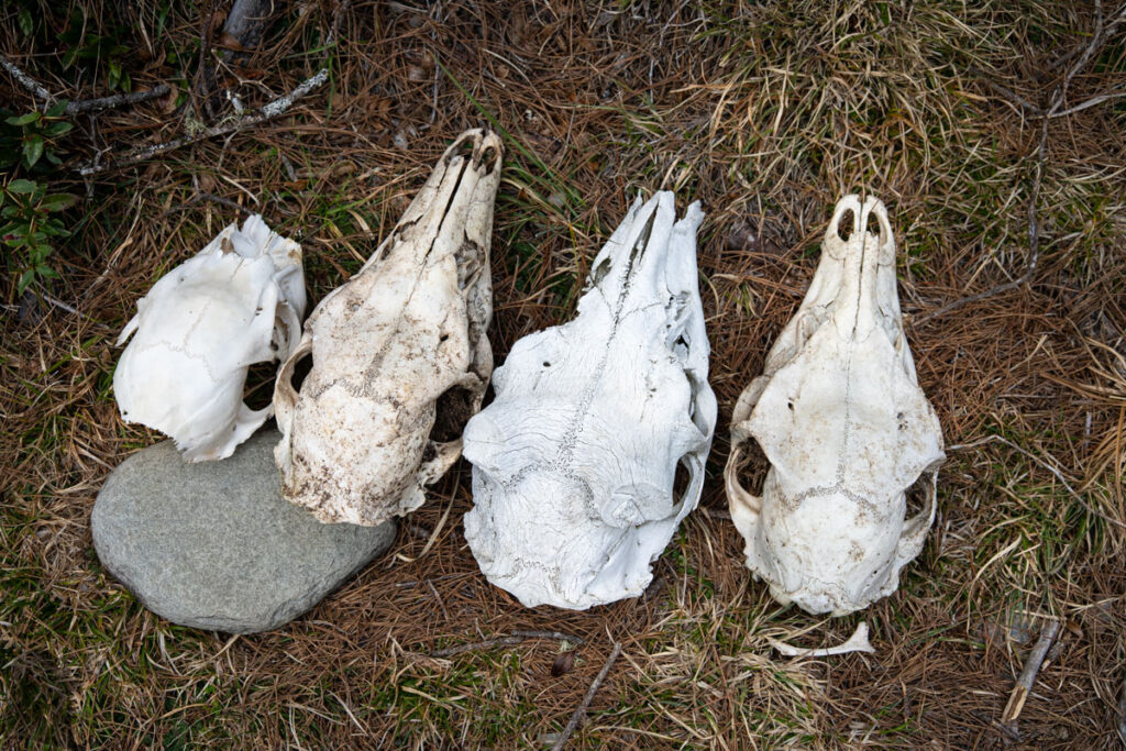
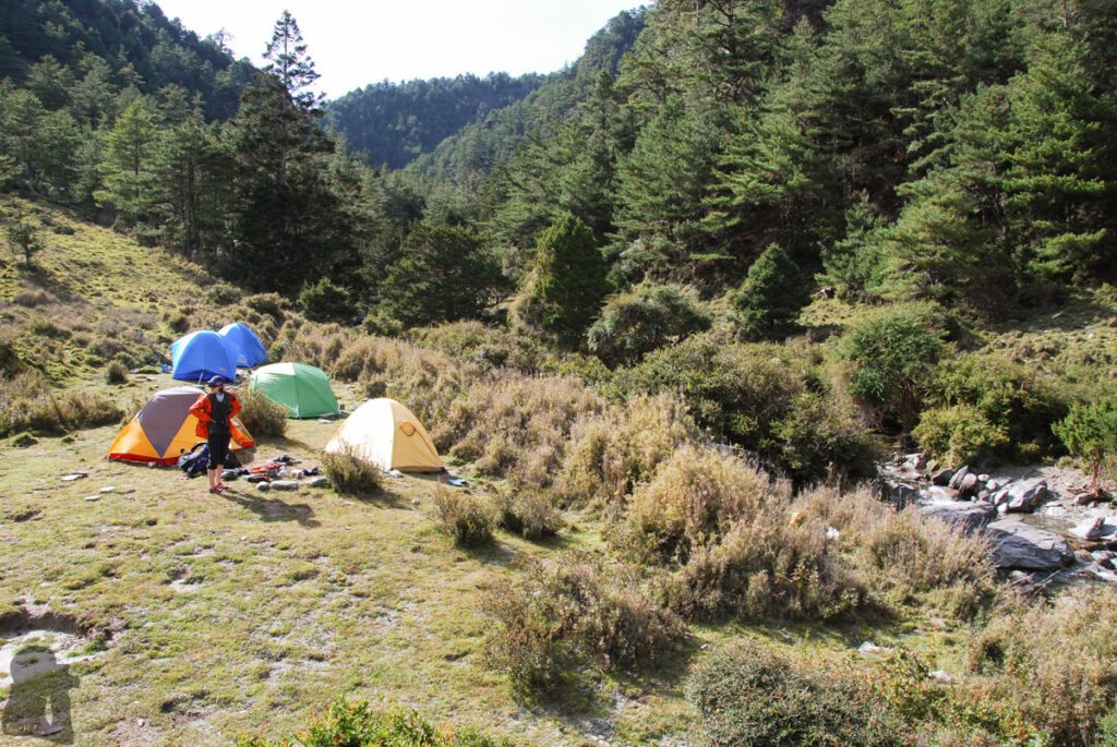
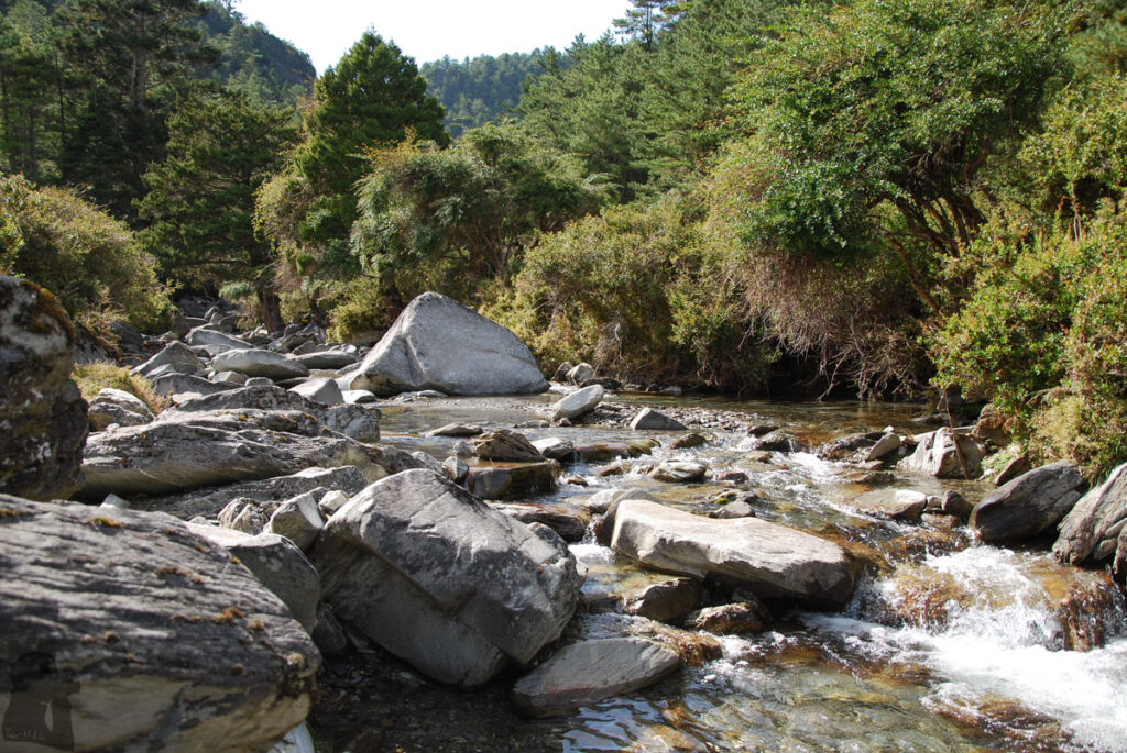
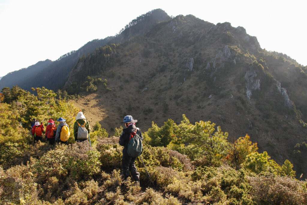
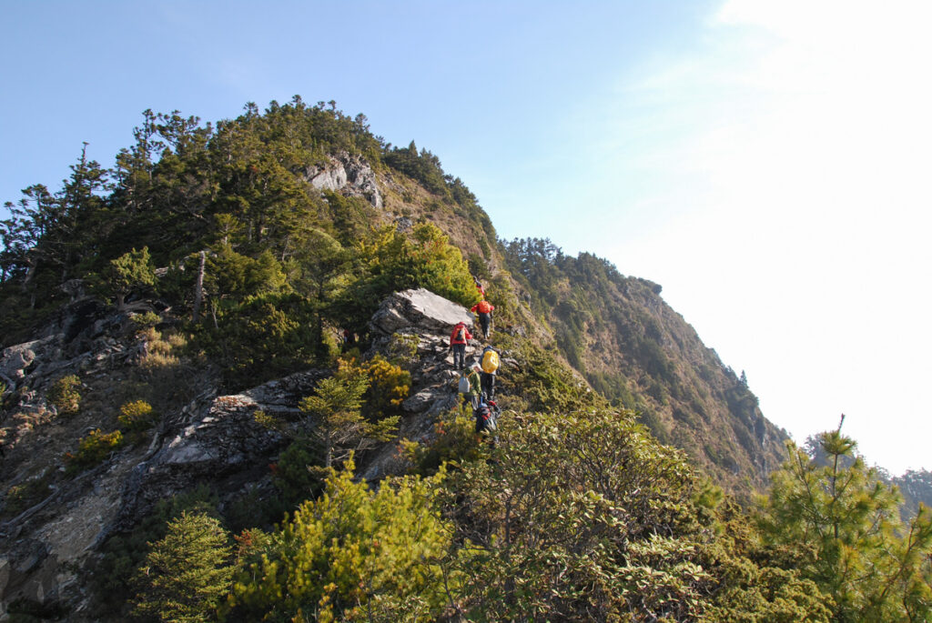
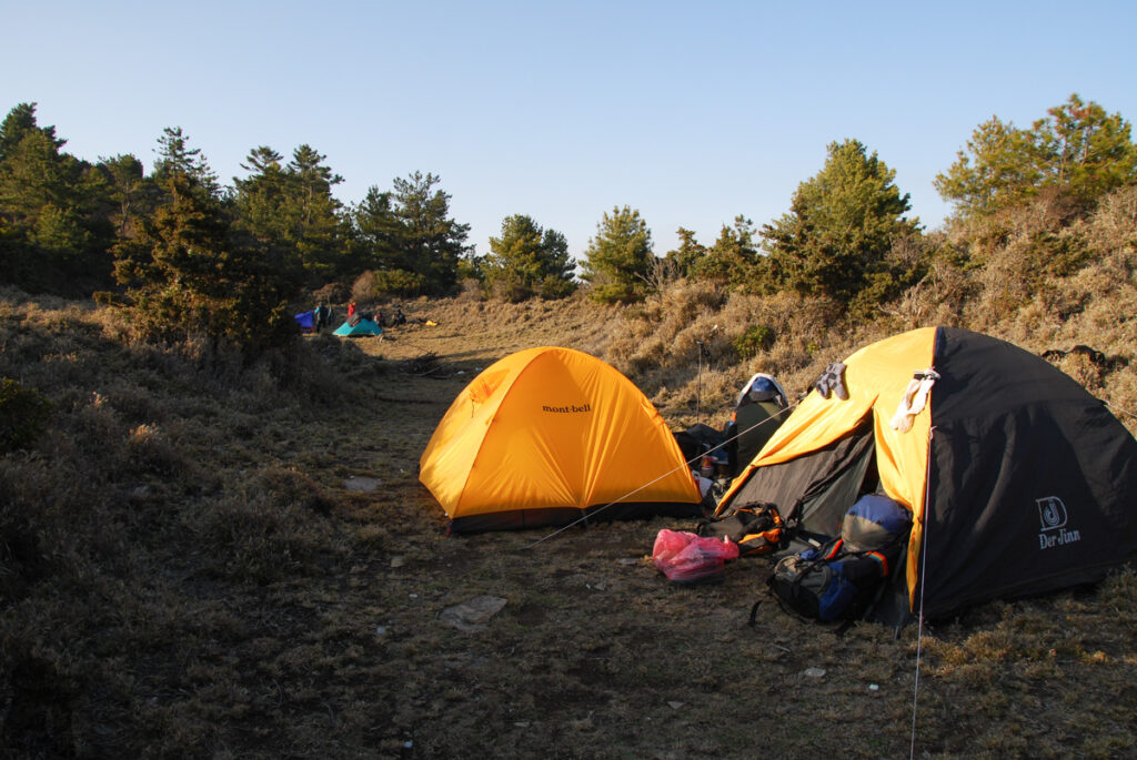
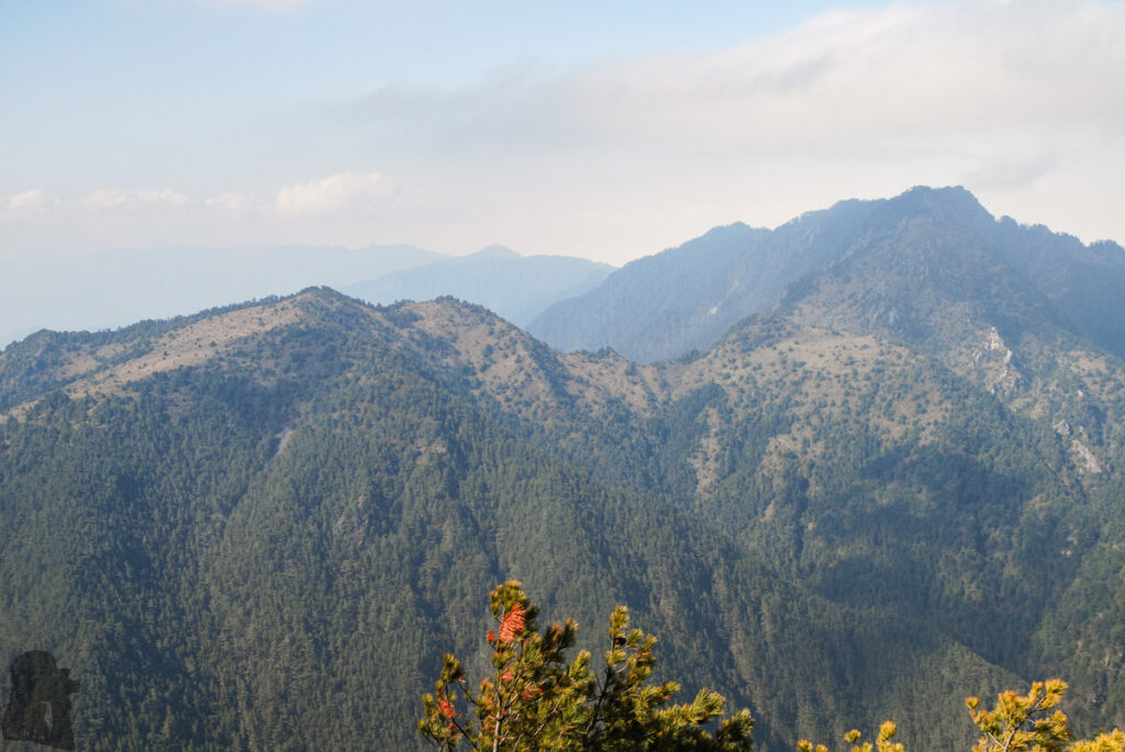
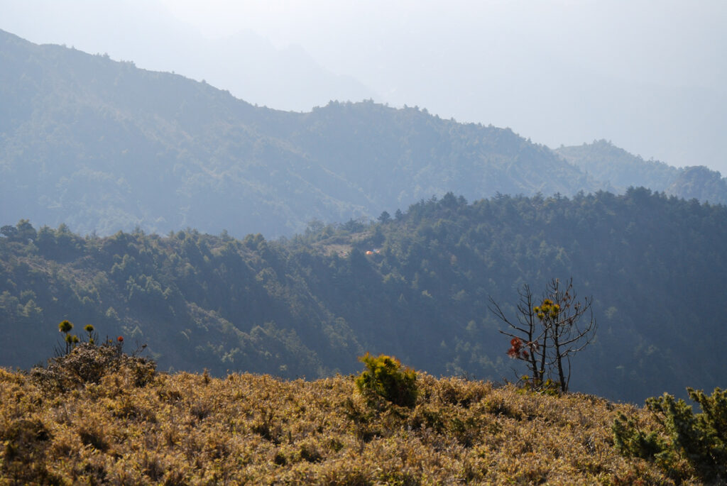
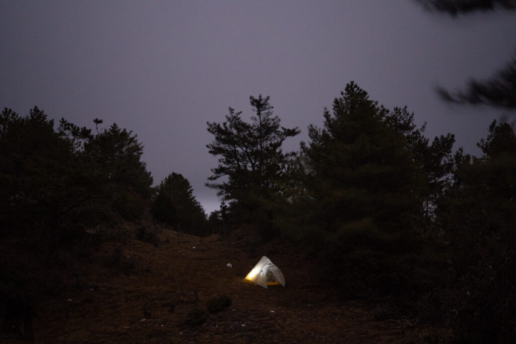
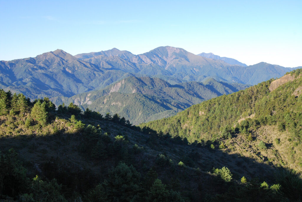
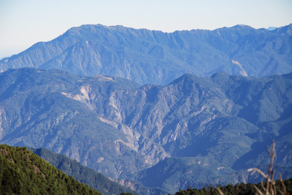
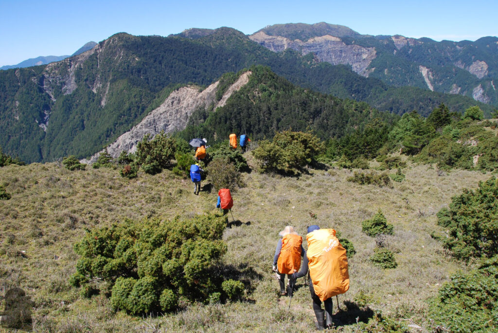
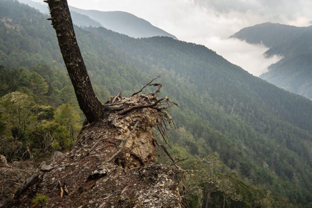
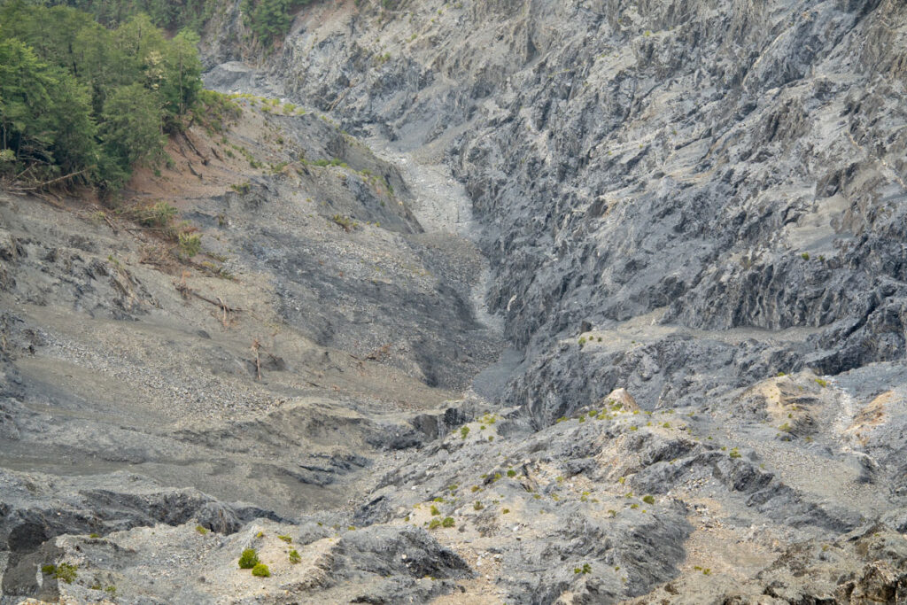
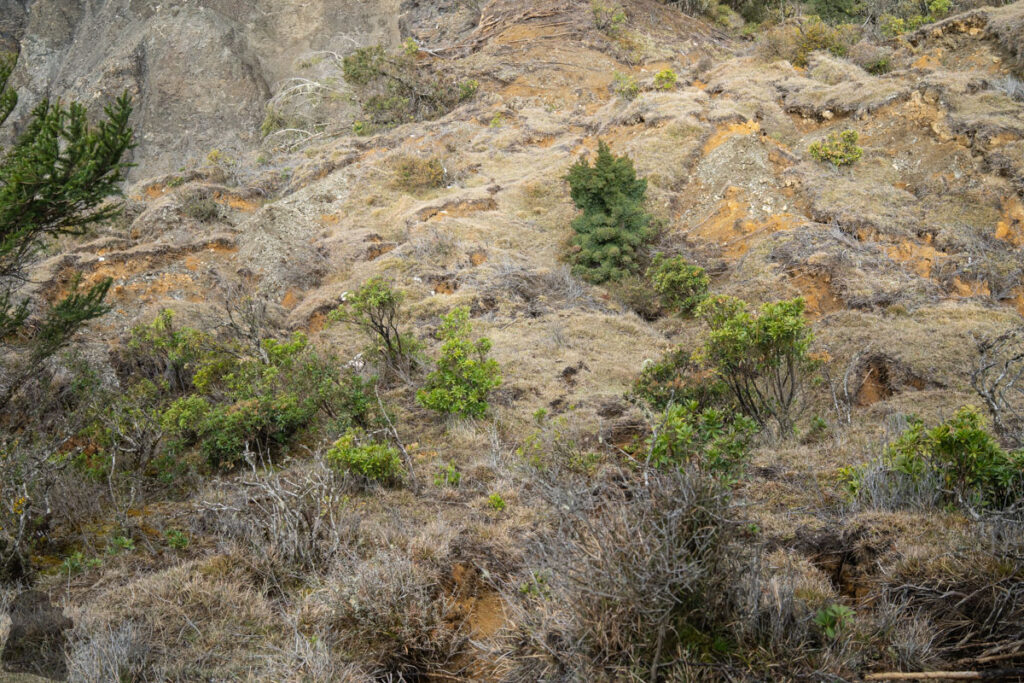
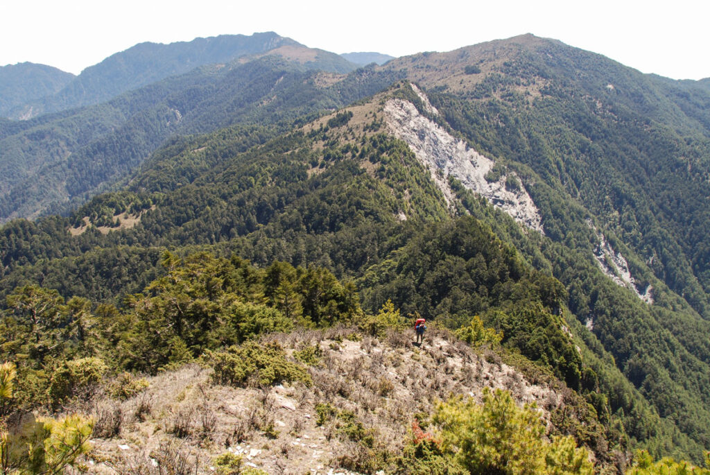
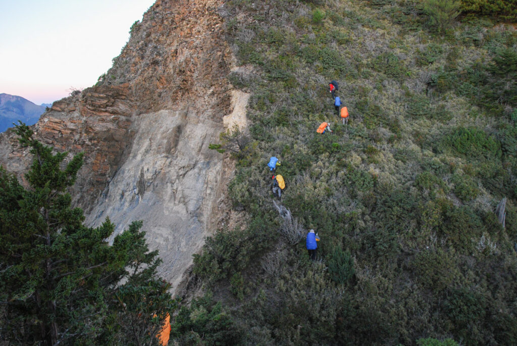
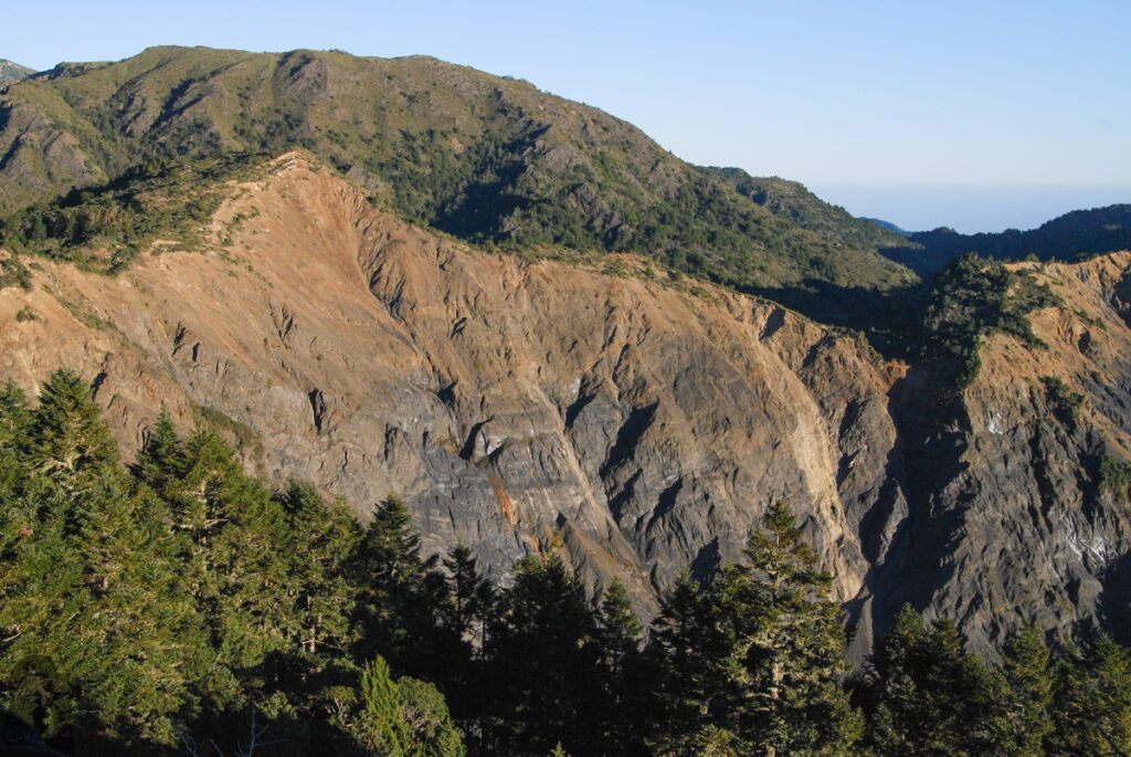
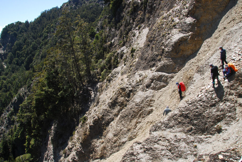
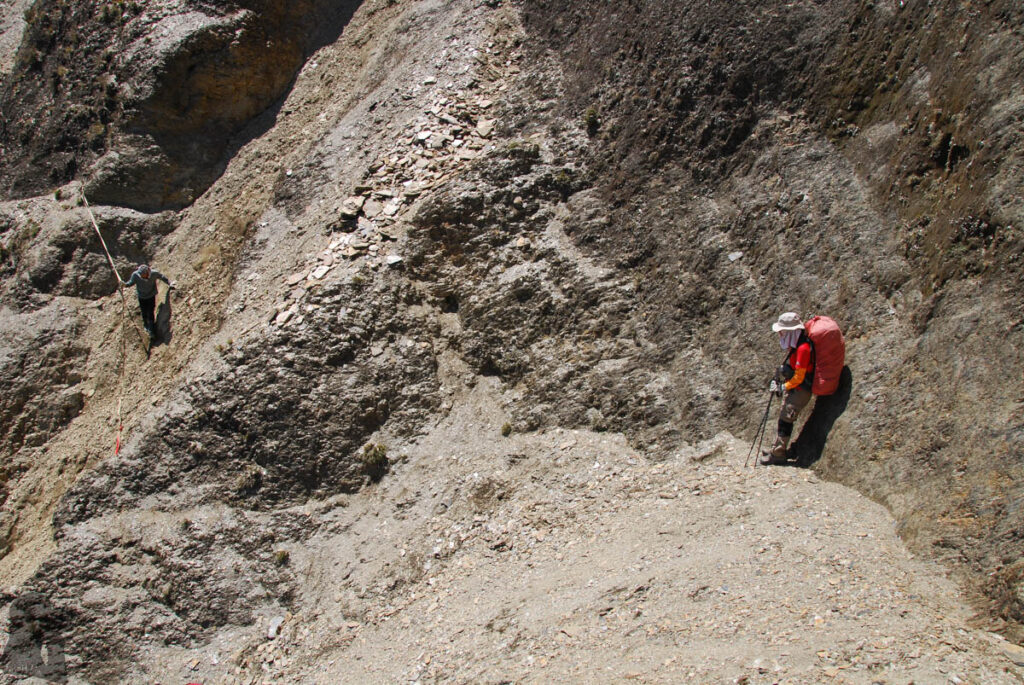
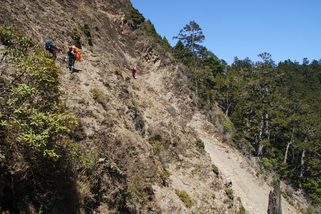
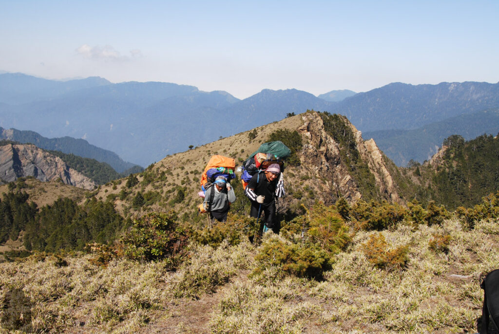
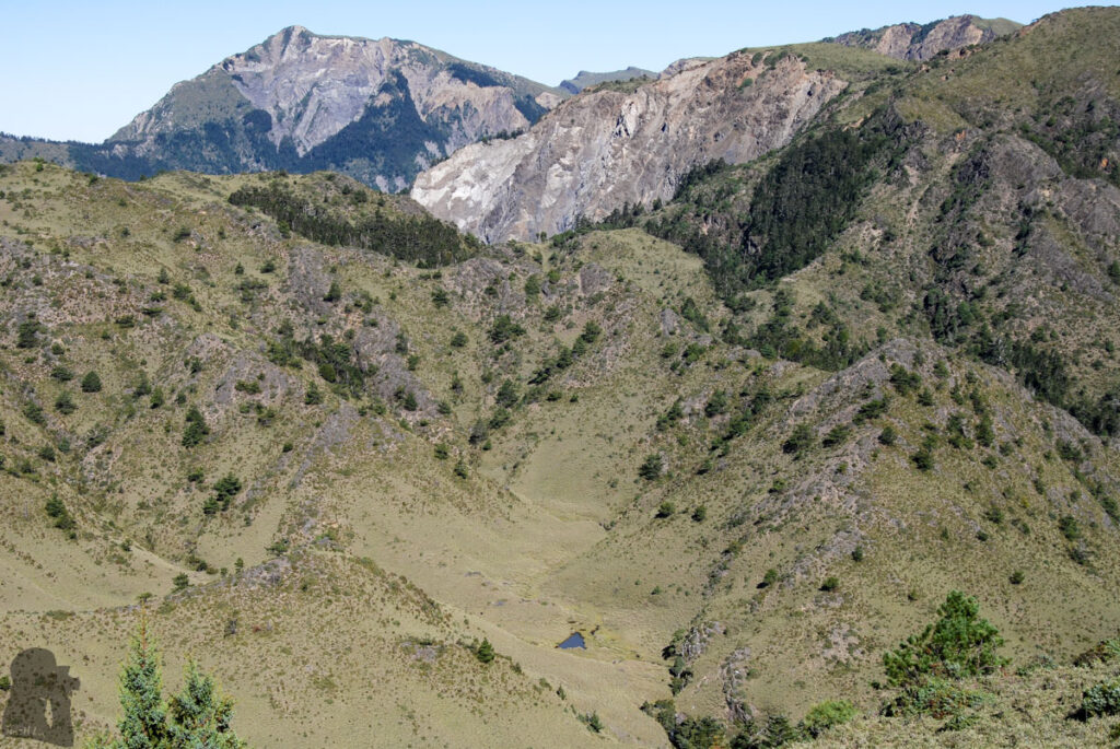
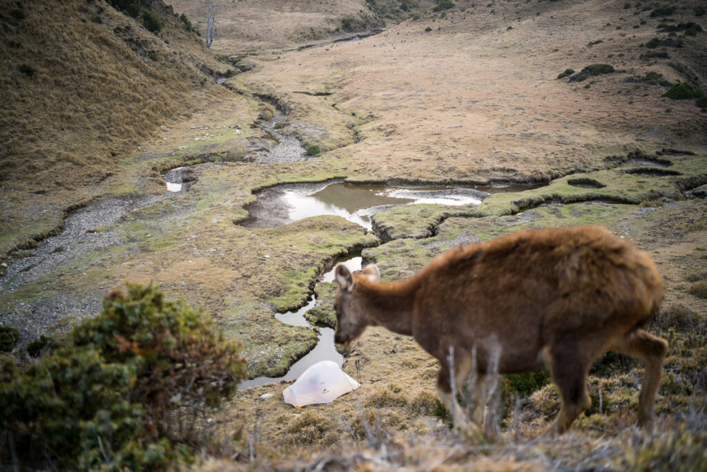
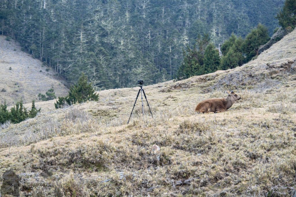
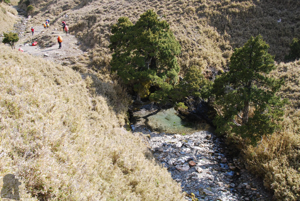

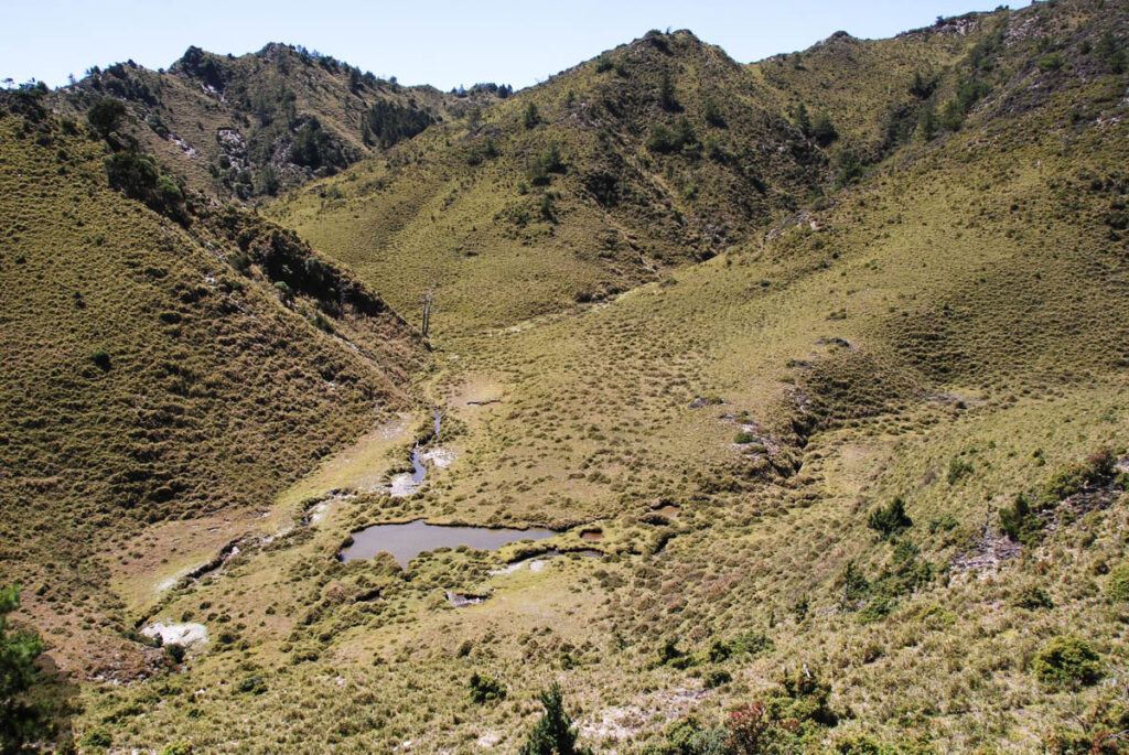
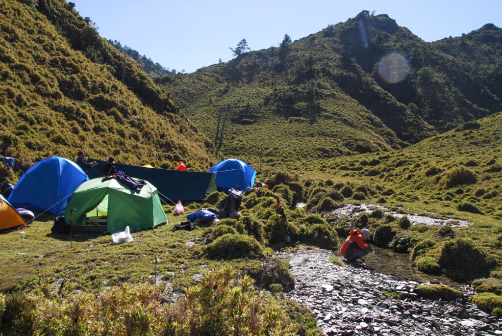
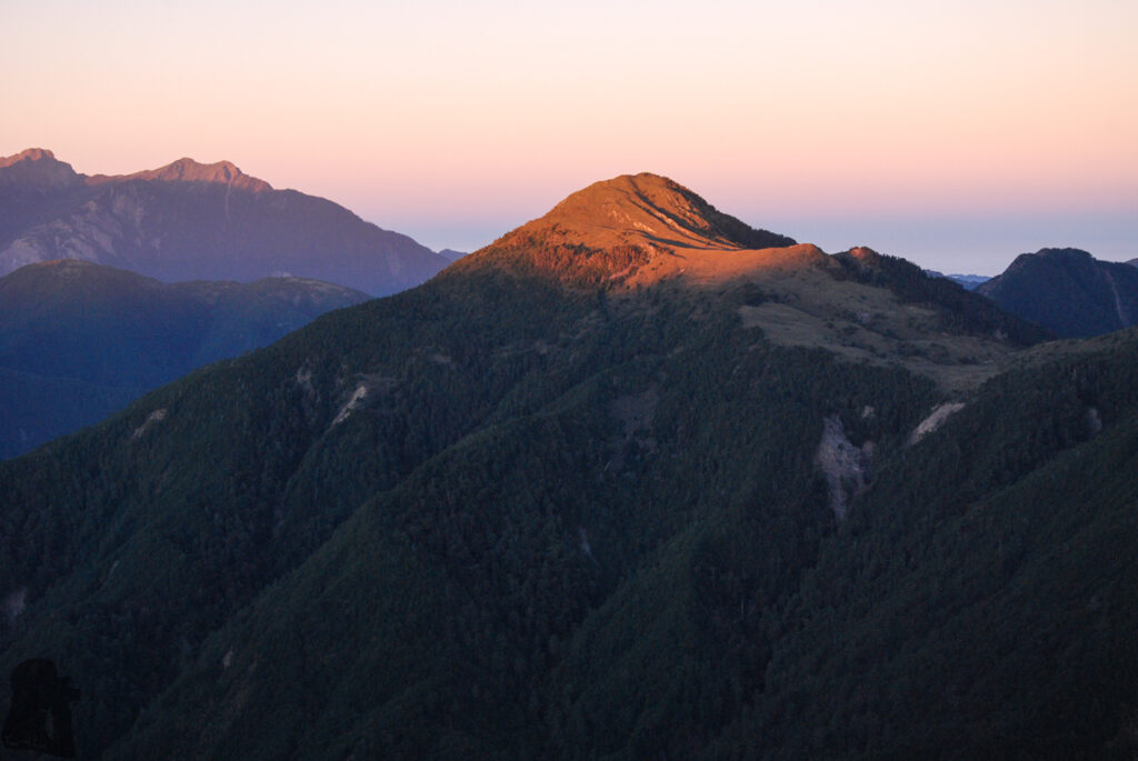
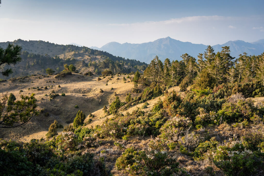
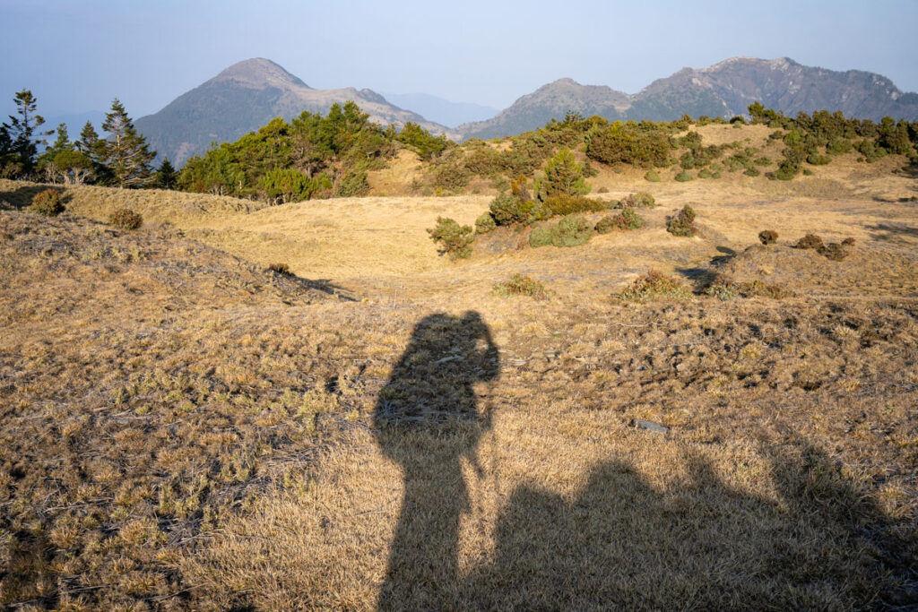
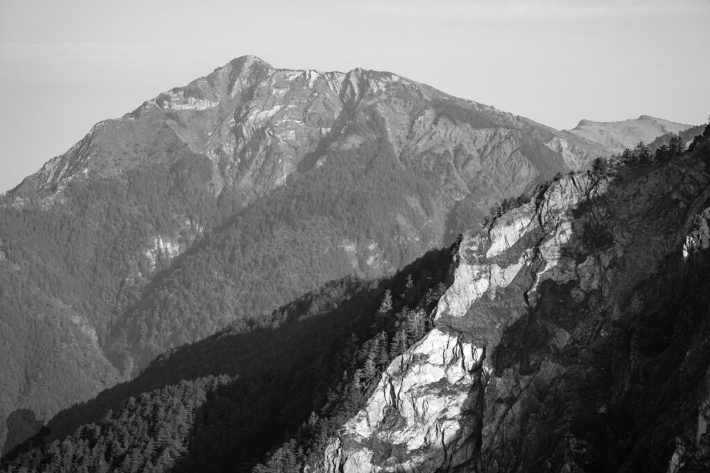
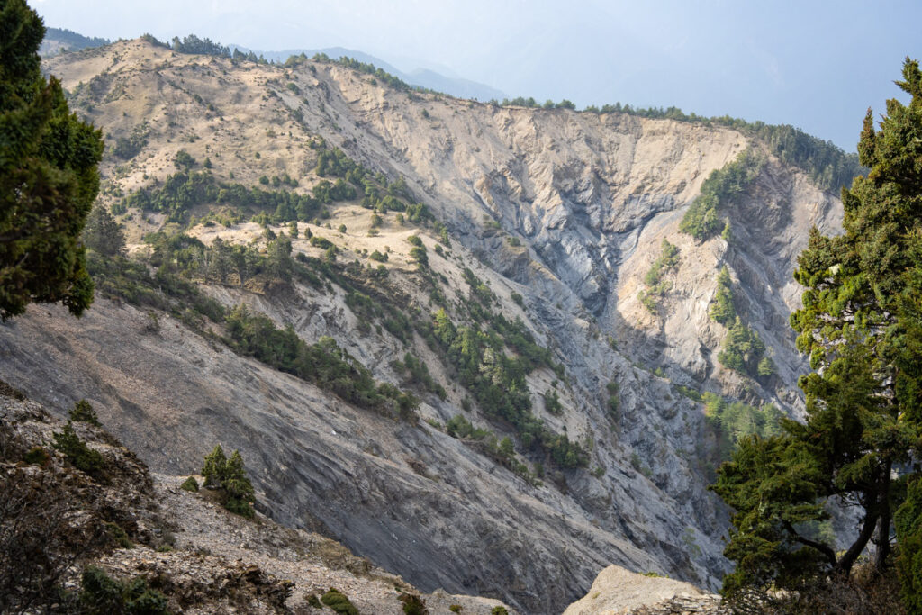
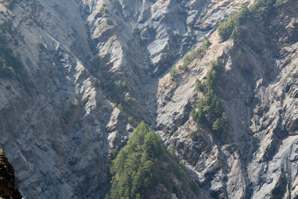
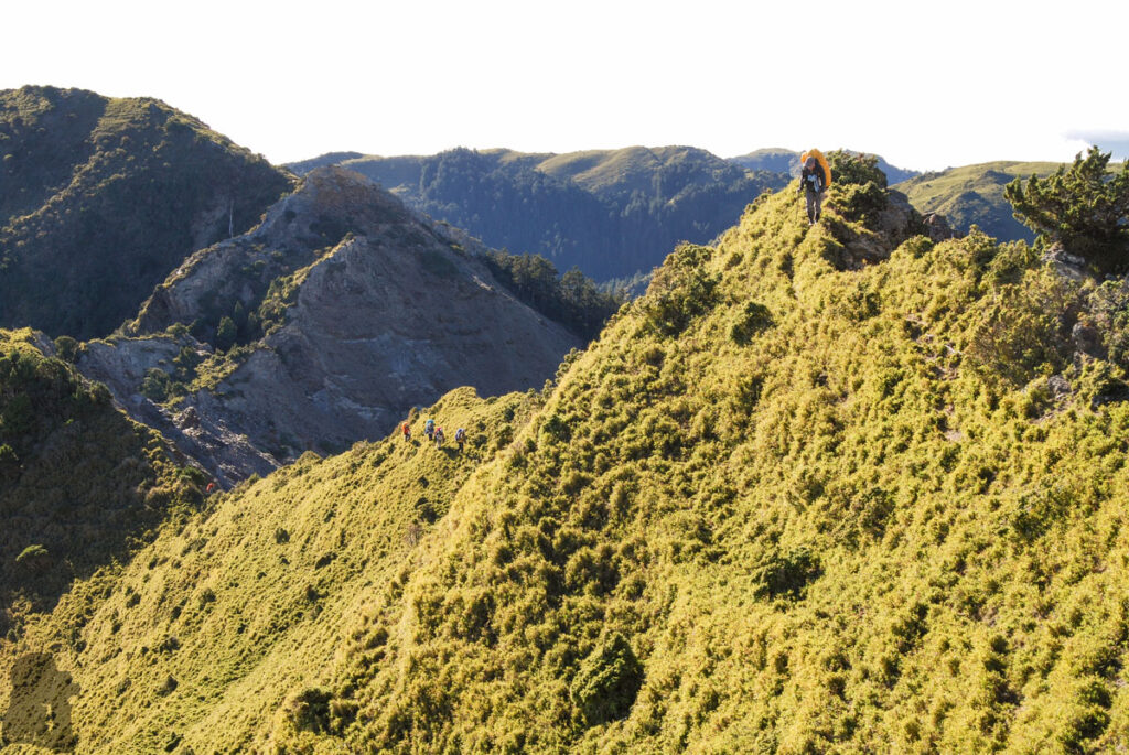
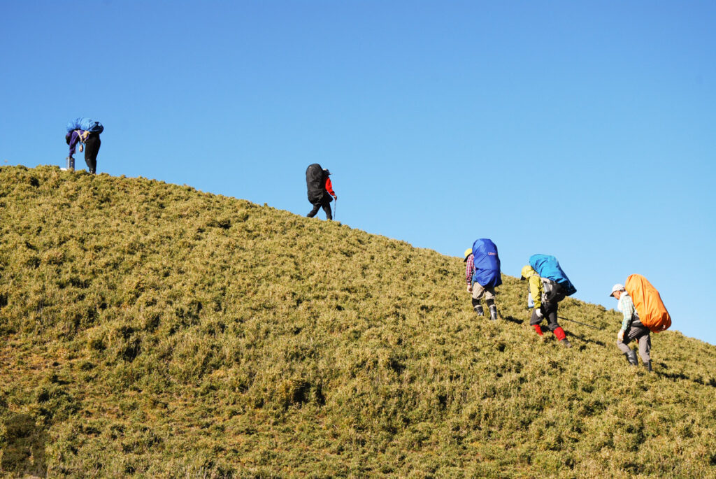
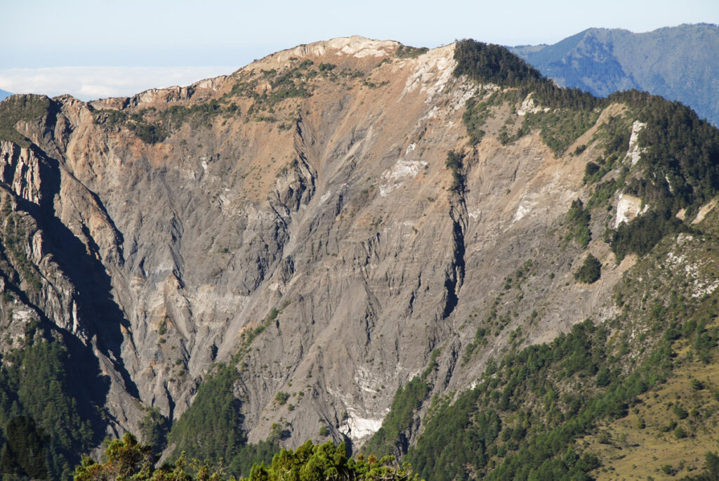
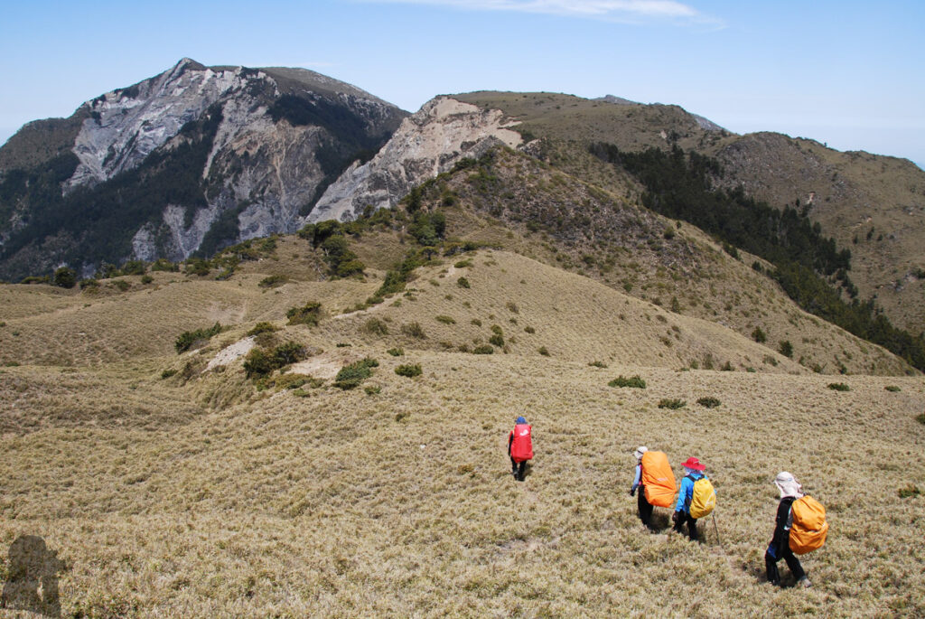
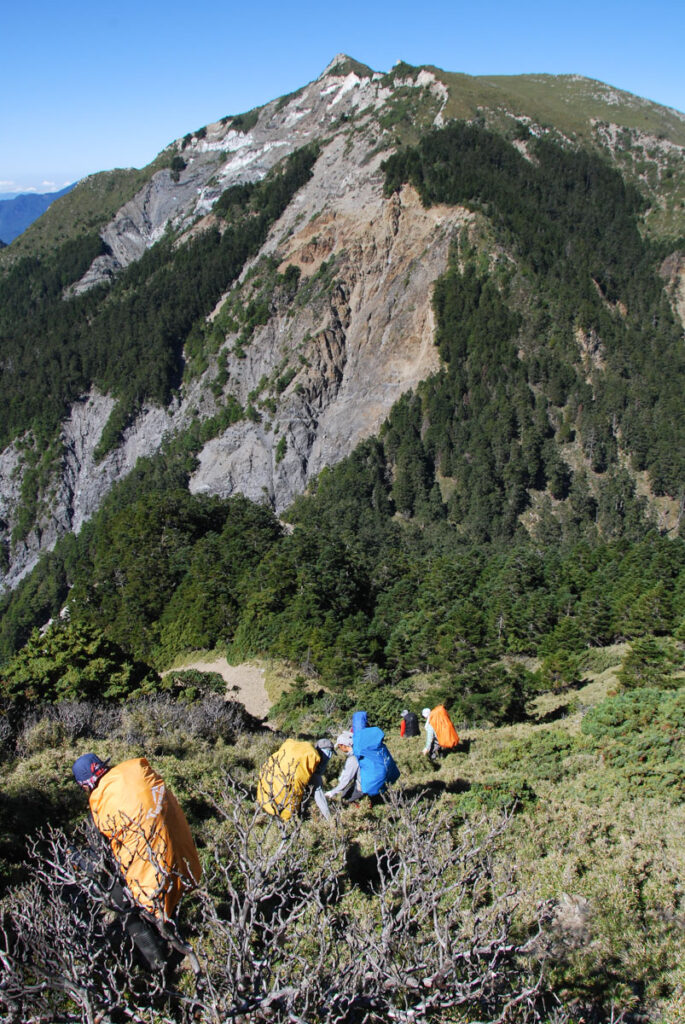
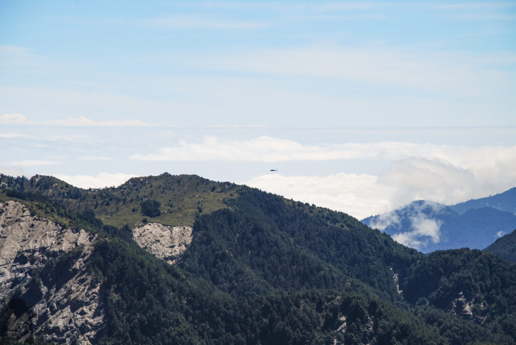
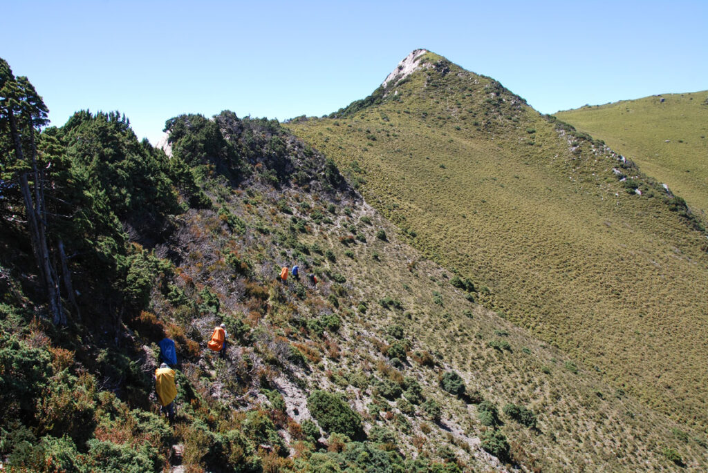
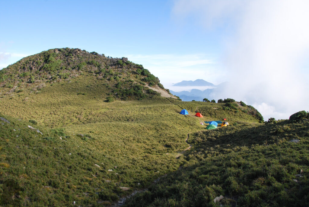
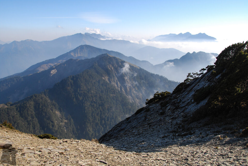
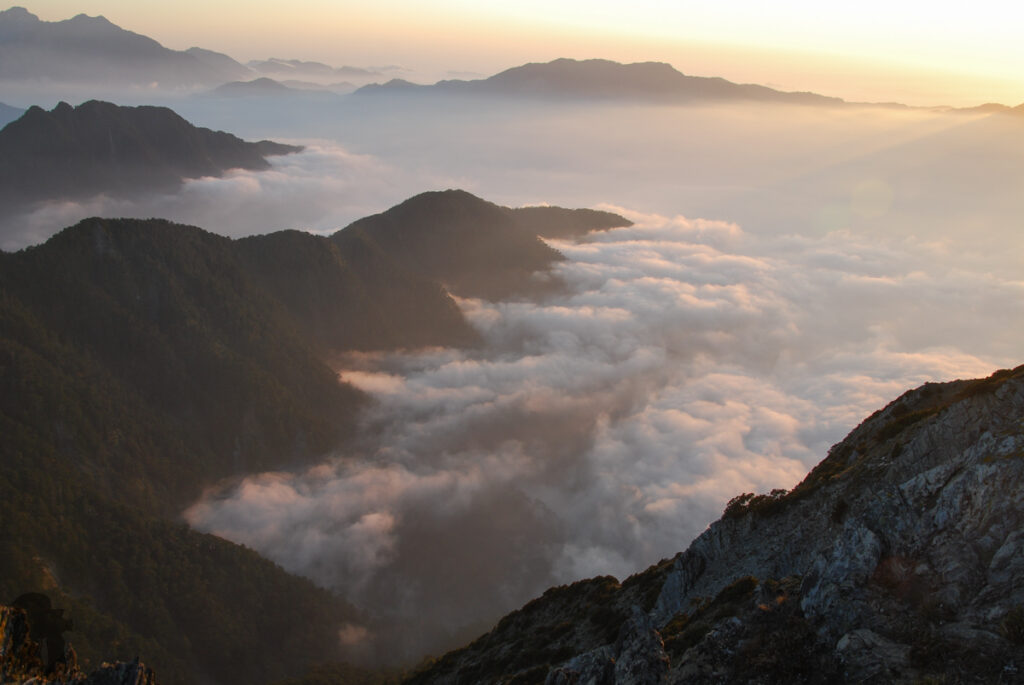
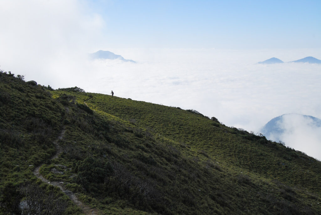

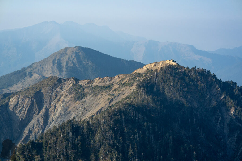
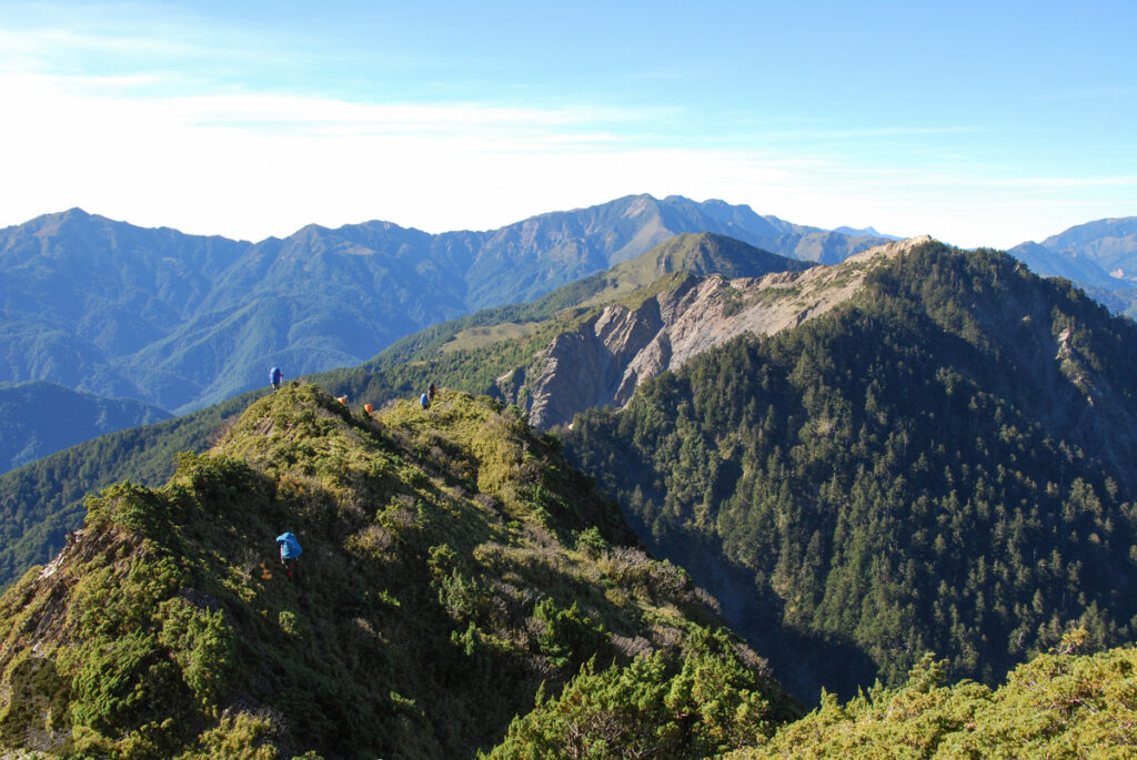
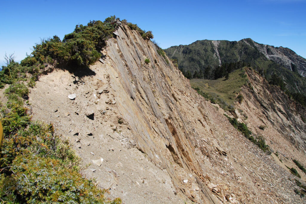
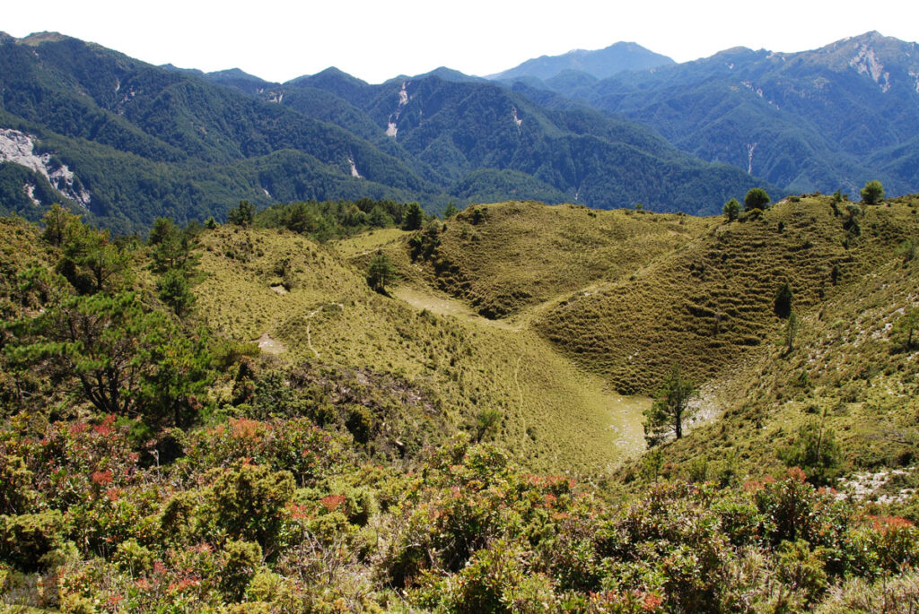
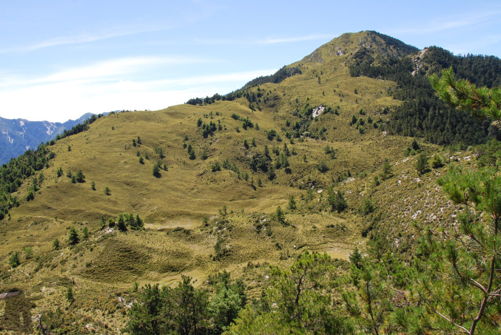
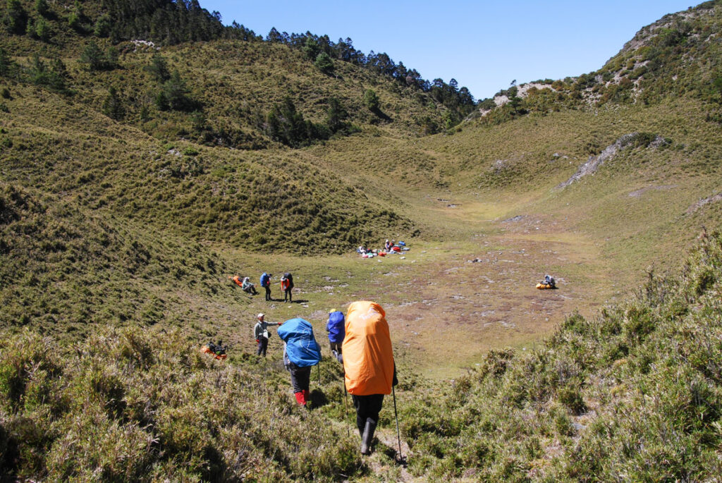
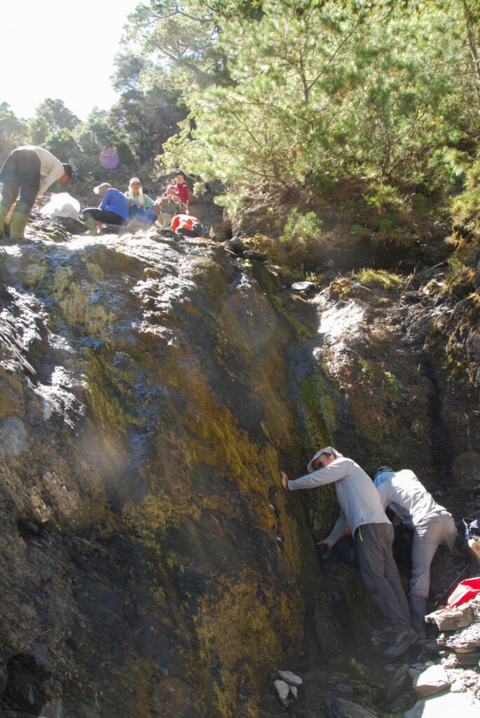
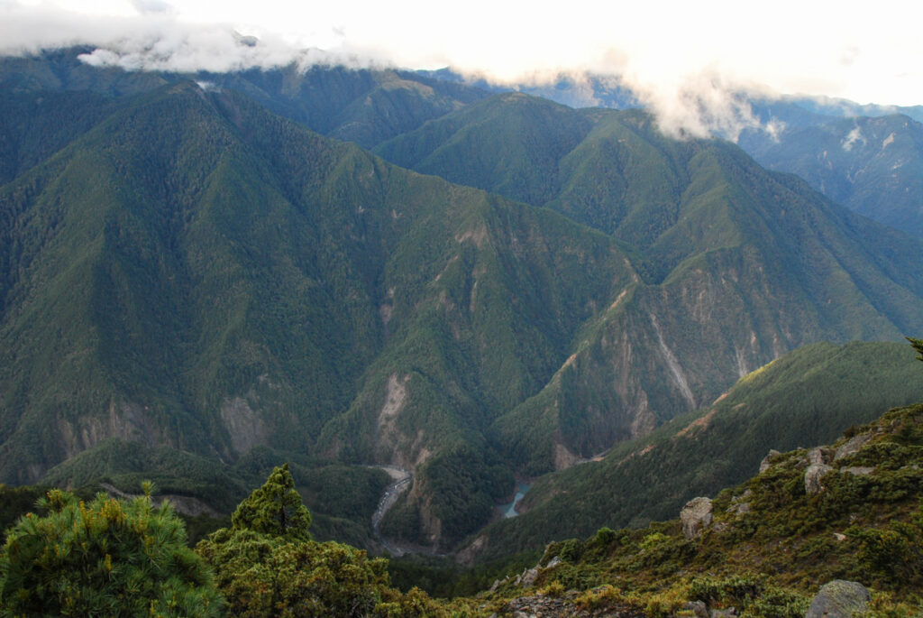
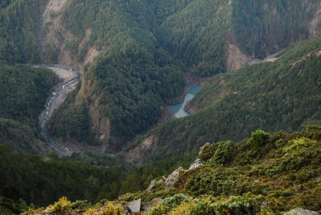
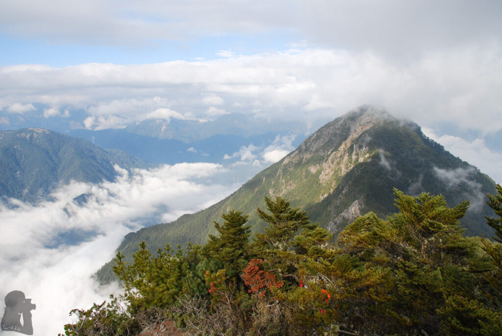
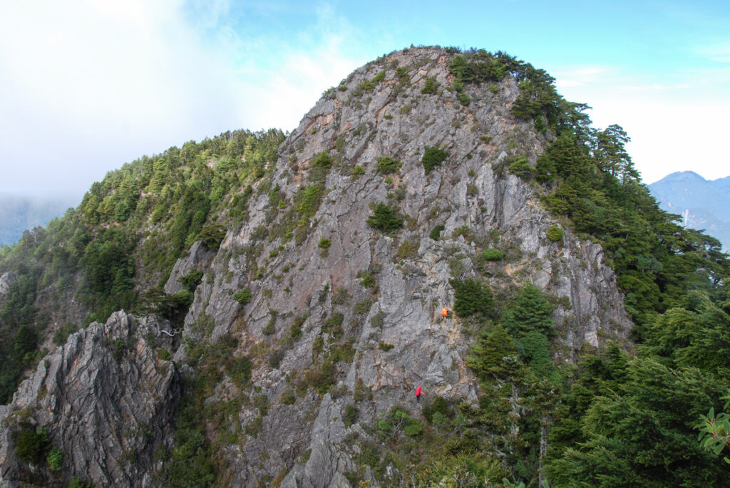
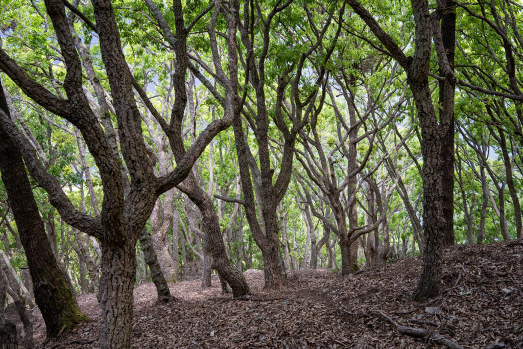
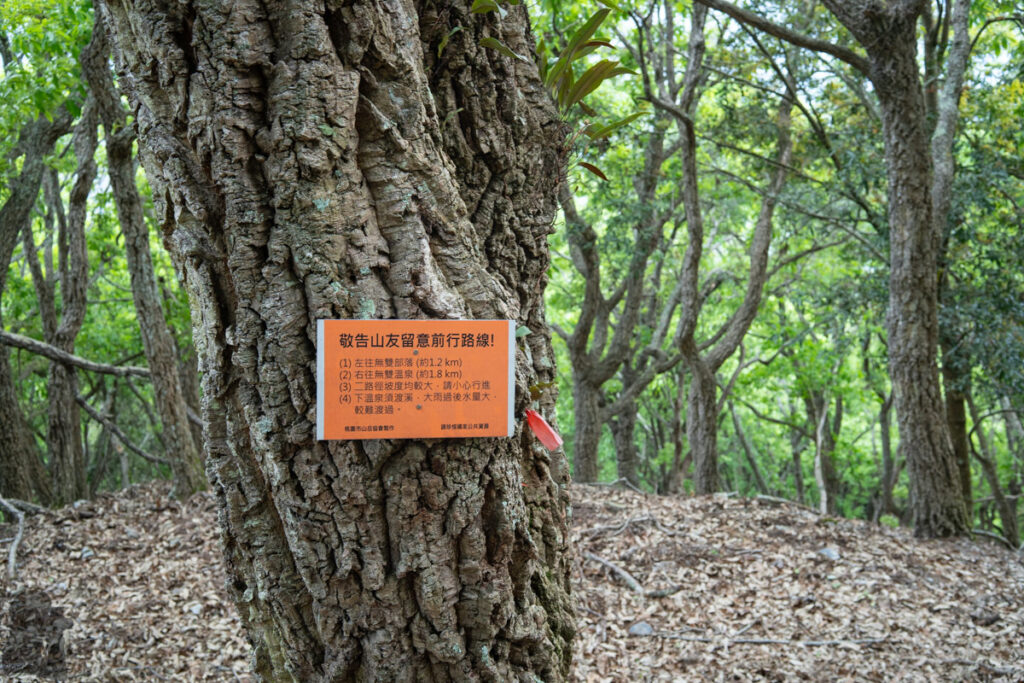
(However, so far I did not see any GPX files or trail on my Rudy MAPs for the route going to Wushuang Community from this location.)
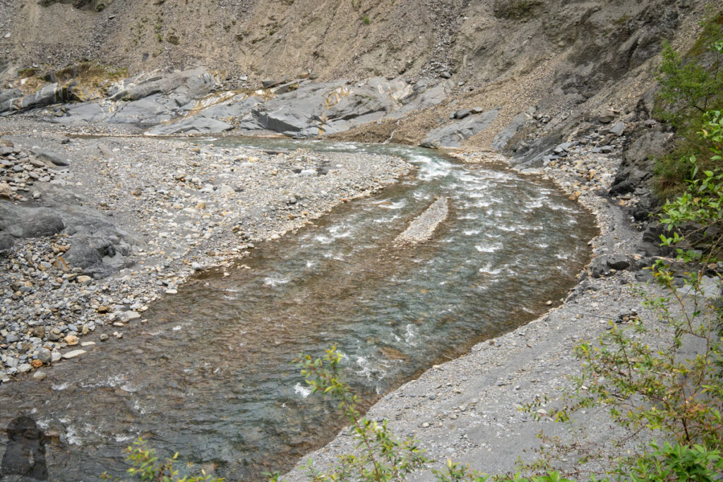
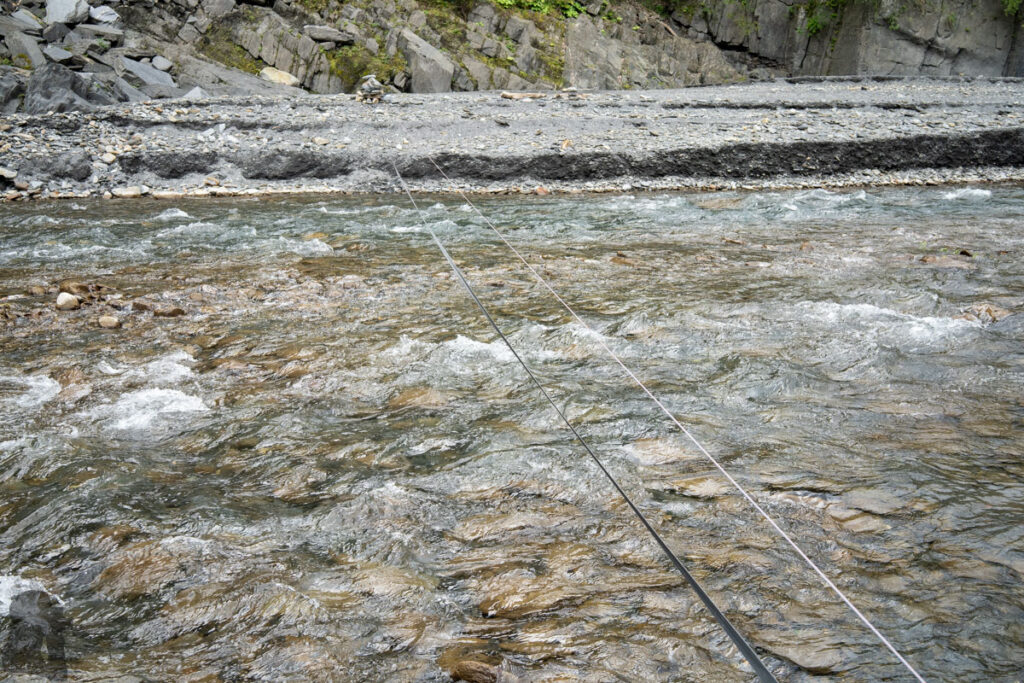
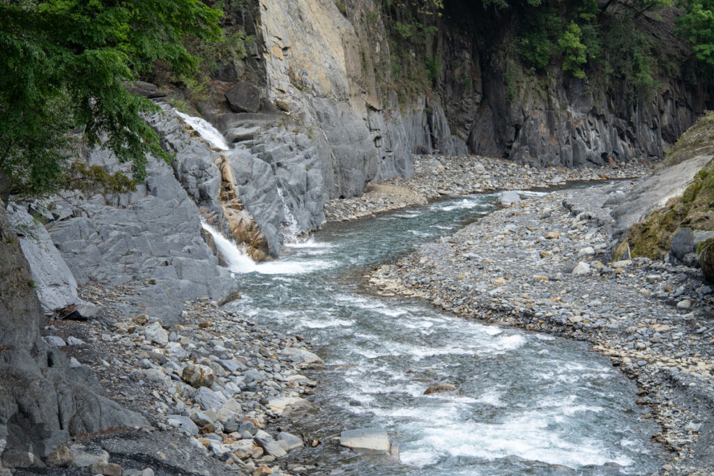
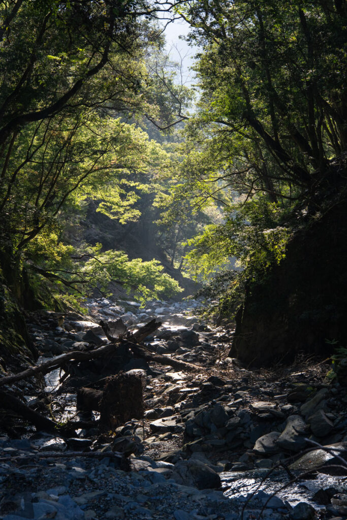
Photos taken along the old route
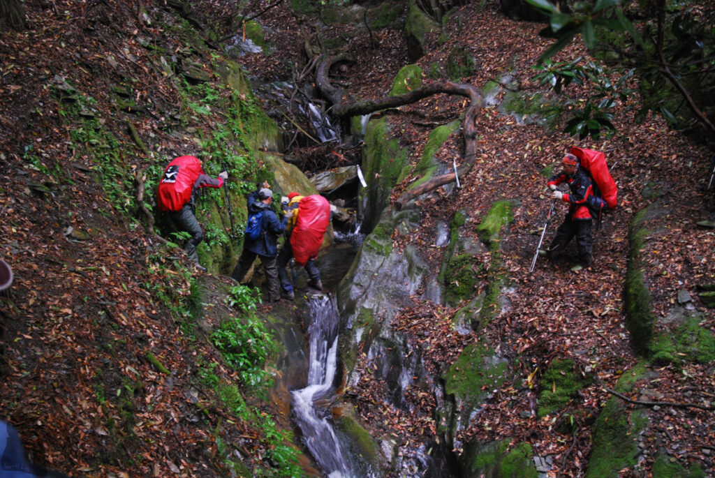
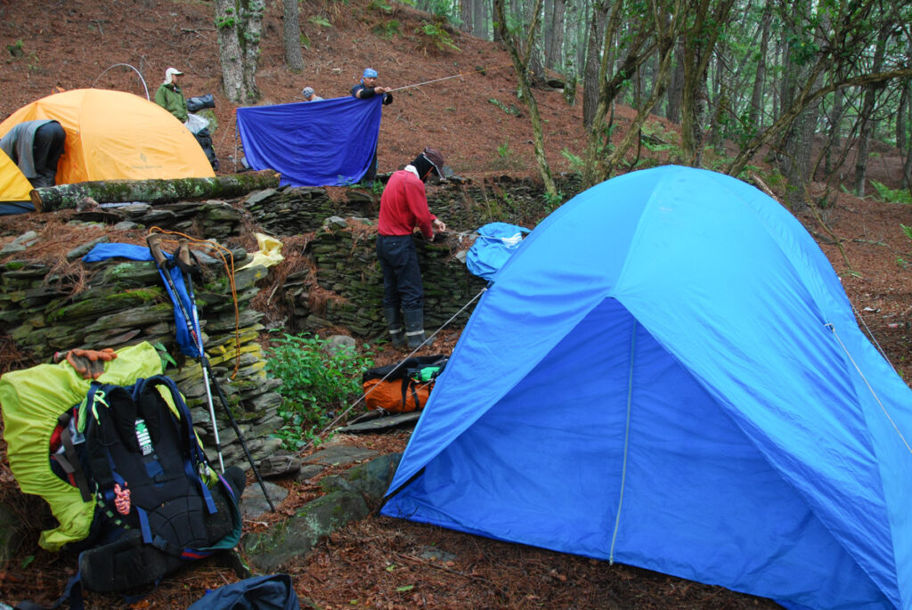
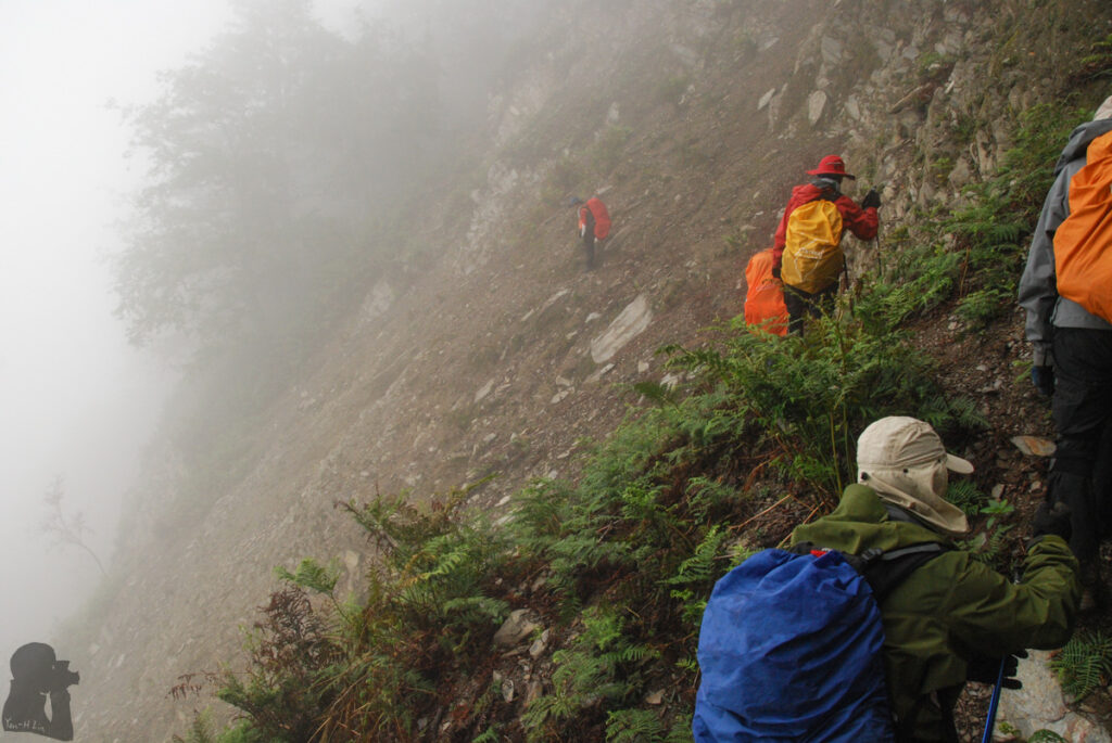
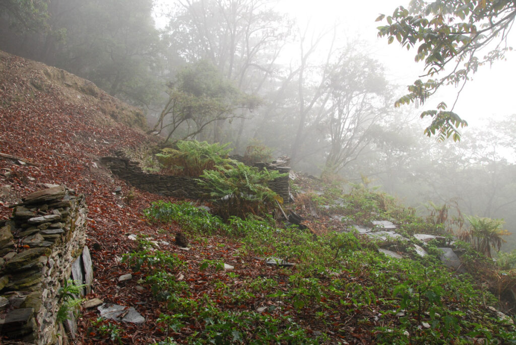
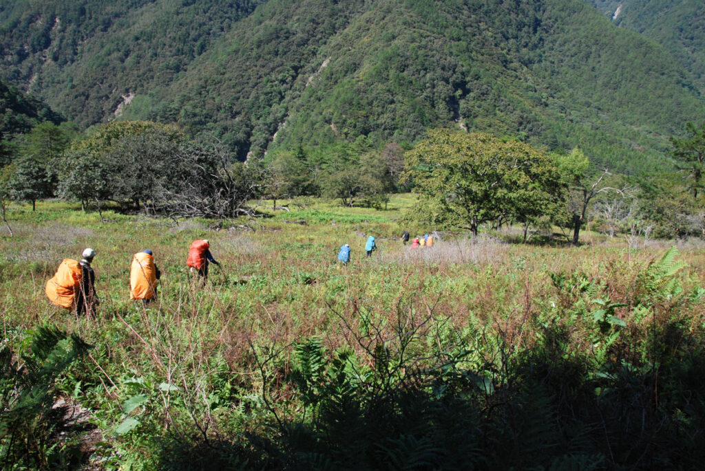
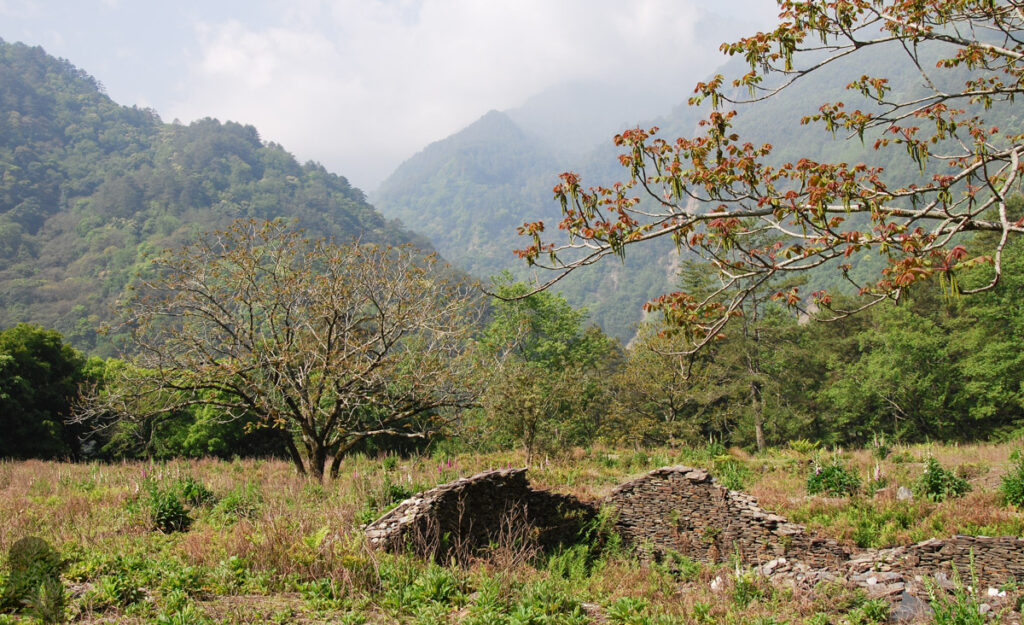
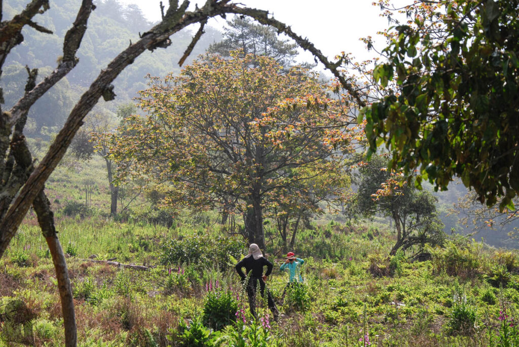
Here are some photos taken during the first two trips along the old trail after Wushuangshan: Yalishi Campsite, Wushuang Community / Swing Bridge, Wuwalabi River Campsite and around 43k, Junda Forest Road. I personally think that the old trail offers more variety to the trip than the current one. Unfortunately it has be overgrown or even impassible due to its poor condition, especially the section between Wushuangshan and Wushuang Swing Bridge.
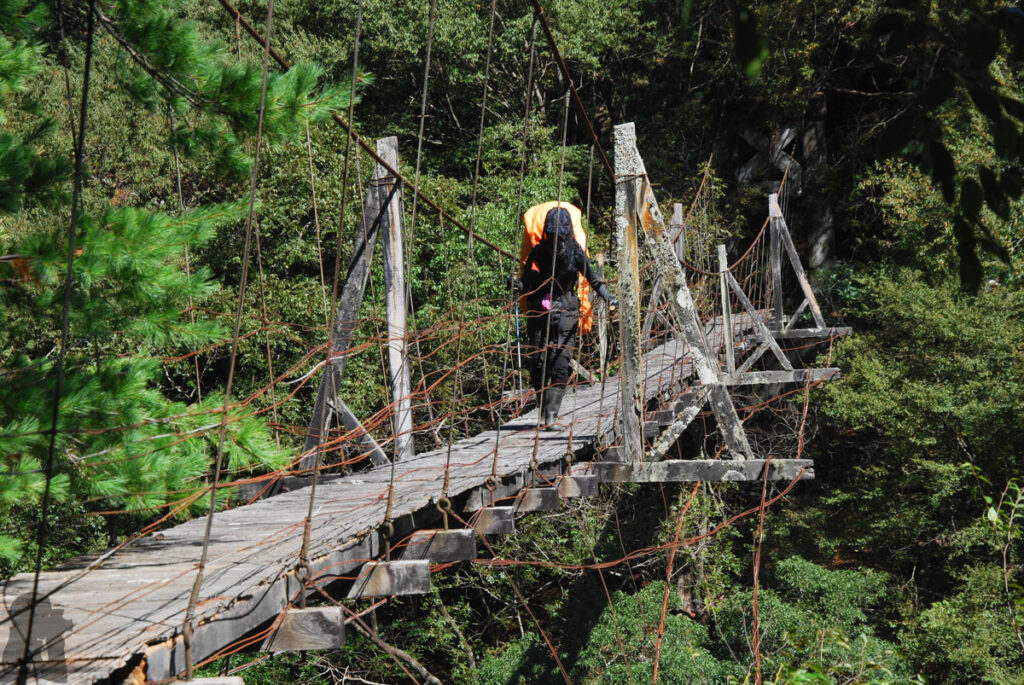
This bridge did not have any maintenance since many years ago. It was pretty broken when I was there in 2011. A recent photo shows many woody planks are already missing. Technically this swing bridge is not open anymore but it is the only way you can cross Junda River when the river is high.
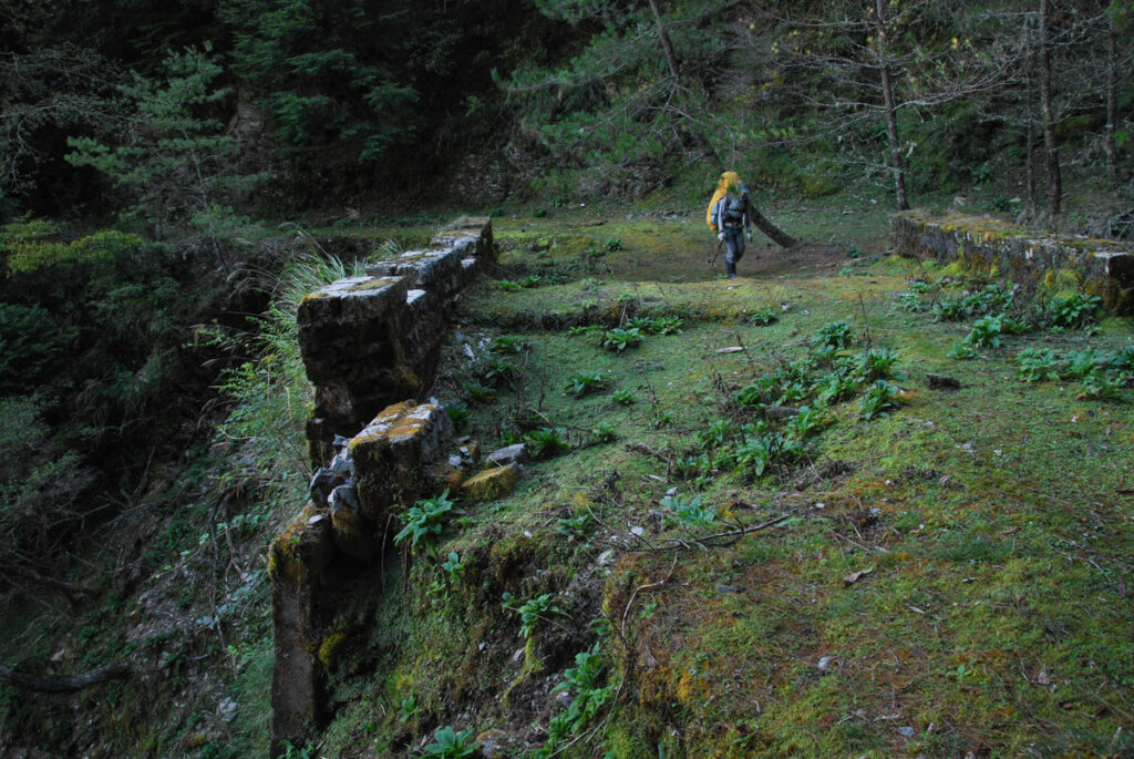
After the old route joins the current route at 42K on Junda Forest Road…
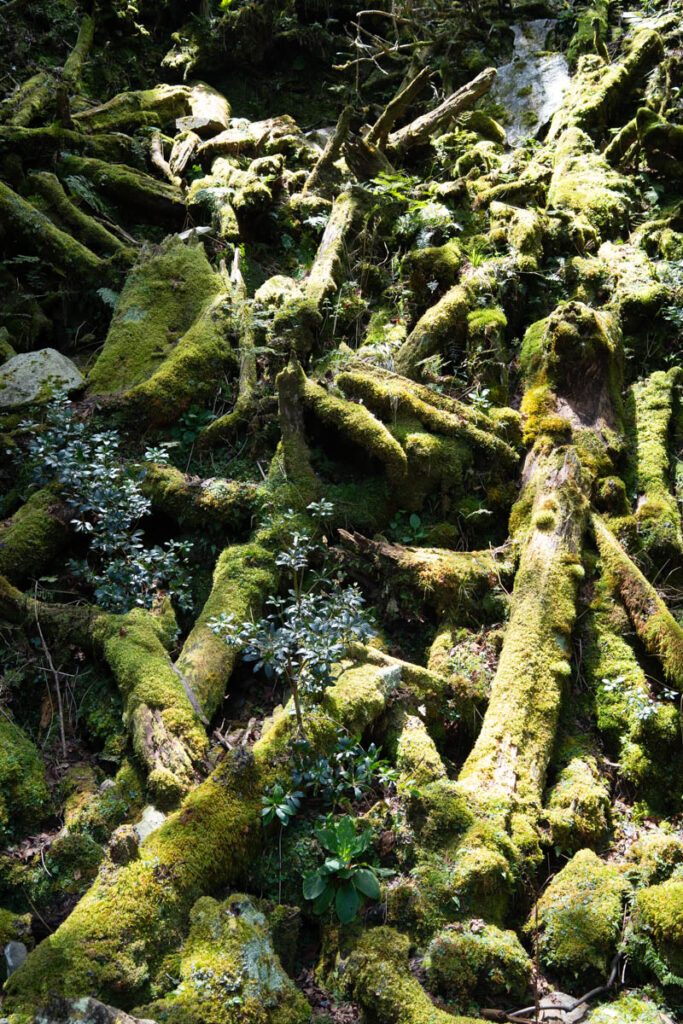
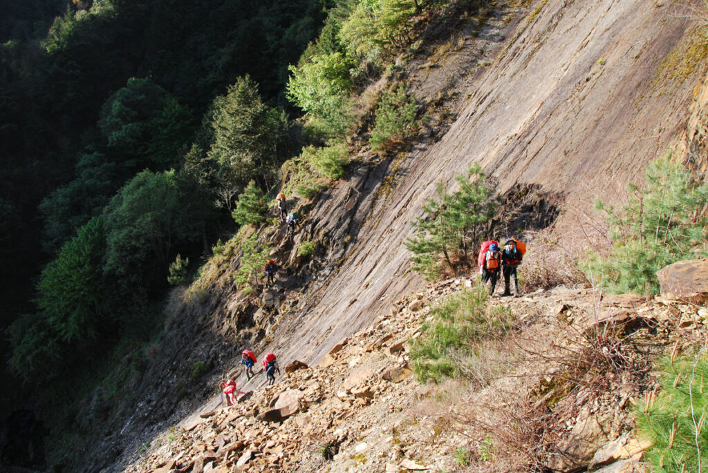
The additional leg of the hike in 2025
The following photos were taken during the additional hike between Junda Forest Road, Wangxiangshan and Dongpu. Although this hike is optional when Junda Forest Road is open and you want to go home soon by car. But this route can save you some money (although you may spend some in a nice hotel in Dongpu) particularly if you hike solo. The price is to have a huge descent for half day. This extra hike is not easy at all but since you can complete the whole South Section 3 so far, it should not be a problem to you.