The content on this website is published in English. I cannot guarantee the quality of the translated text generated by the plugin of this website. The machine-translated “names” and “terminology” are often inconsistent and/or incorrect. If it looks confusing, please switch back to the English version.
Disclaimer: Information such as the locations or the trails shown on the maps of this website might be inaccurate, misleading or out-of-date. They are only the simple illustration for the ranges of the hiking trails or the points of interest. Please prepare your own navigation device, apps, topo maps, and GPX files for hiking.
About this trail
The difficulty rating: ★★★★★
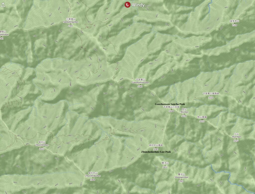
Ganzhuowan Peaks (干卓萬群峰) is a challenging alpine trail to the east of Sun-Moon Lake (日月潭) and southeast of Puli (埔里). It is hard to describe where is this trail without mentioning any more well-known locations in Taiwan due to its geographic isolation from the main ridge of Central Mountain Range. But this trail is absolutely NOT a simple hike that is in the proximity of these two famous places. Actually I found it is the most difficult trail I have ever hiked in Taiwan, probably not just because of the technical difficulty but also the bad luck I got during those trips.
The Route
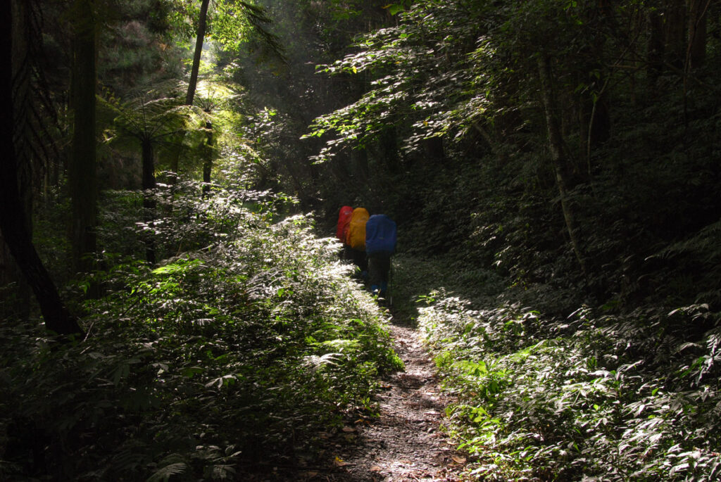
Hikers usually set off from Wanda Forest Road (萬大林道); moving on this abandoned and overgrown road, you may wonder the hike is not too hard in the first place. The difficulty increases after the trail veers off the forest road to start the climb into the jungle with dense bamboo shafts and giant fallen trees on your way.
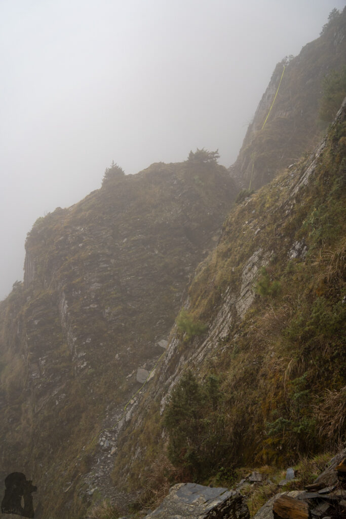
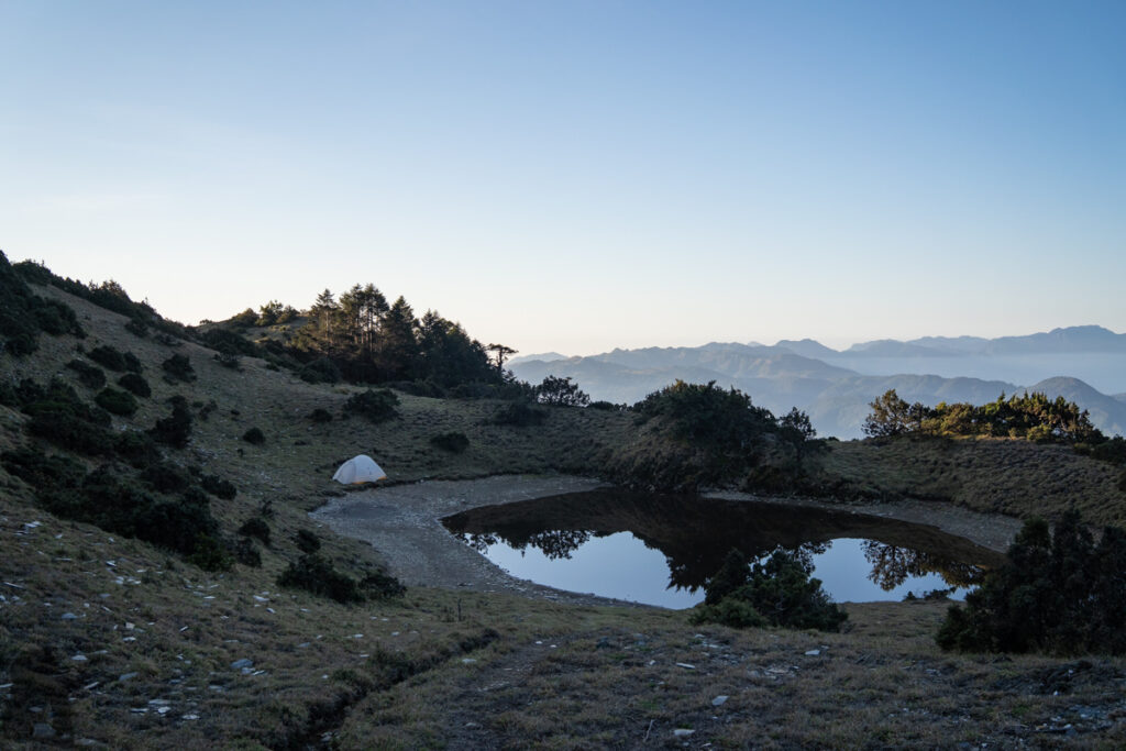
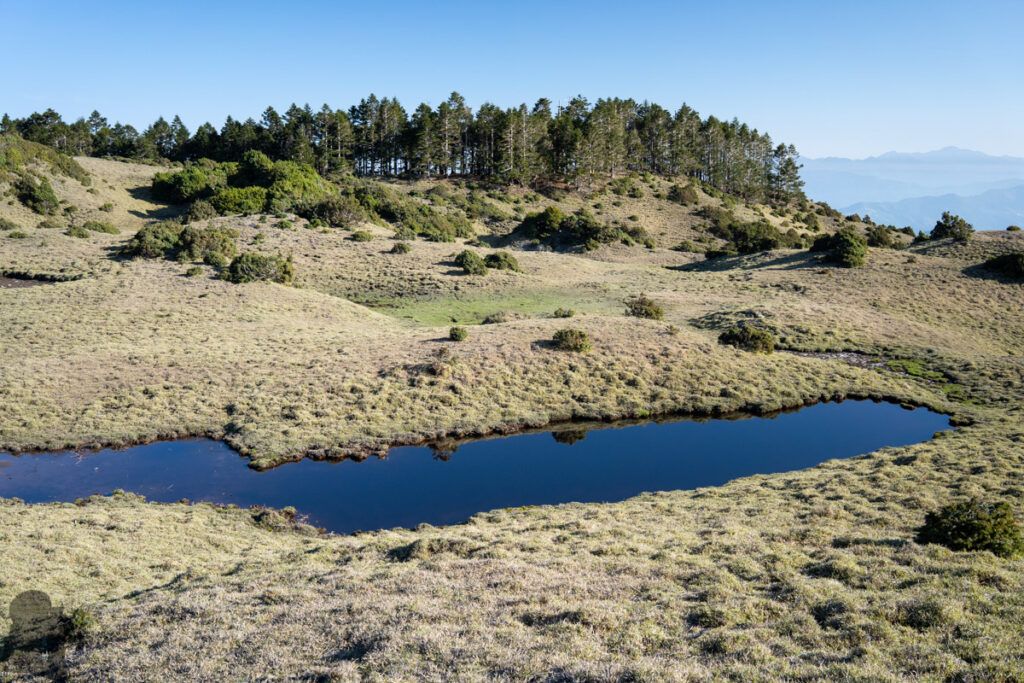
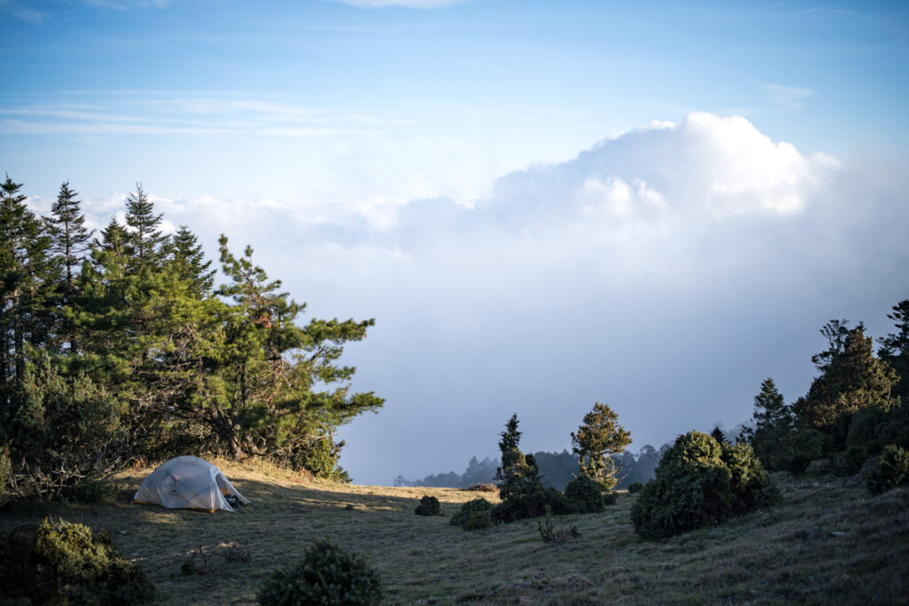
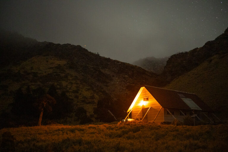
After Shili River Campsite (十粒溪營地), the trail climbs very steeply until the ridge around Ruxingfeng (乳形峰). The next section to Ganzhuowanshan (干卓萬山) is on gentle slope but soon after the peak, the trail is on a narrow ridge with some steep cliffs to scramble over. Once arriving Ganzhuowan Sancha Peak (干卓萬三叉峰), an important trail junction, the terrain becomes smooth again. You may camp in this spacious place or carry on the trail to camp near Mushan Pond (牧山池), a stable pond just below the top of Mushan (牧山). The return hike to Huoshan (火山) is a half day side trip and it is mandatory for hikers who are dedicated to finish all Baiyue hikes. I have only been to Huoshan once but I could not remember any scene along the way now because of the poor visibility or the dull walk during that time.
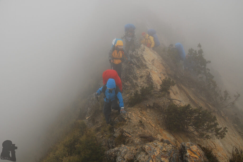
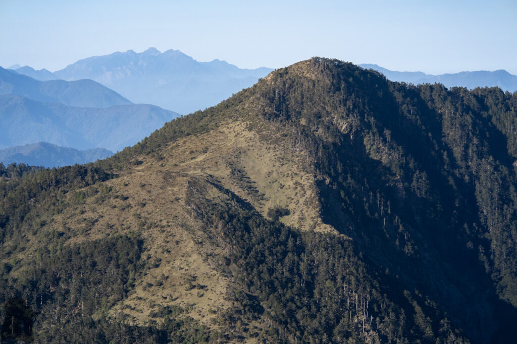
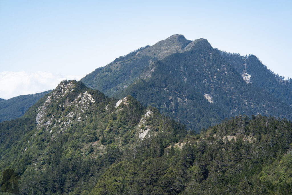
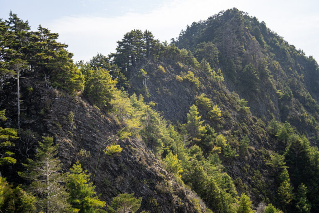
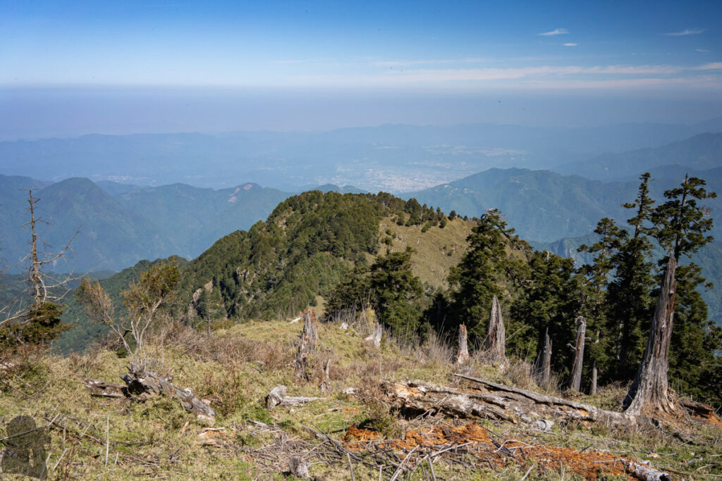
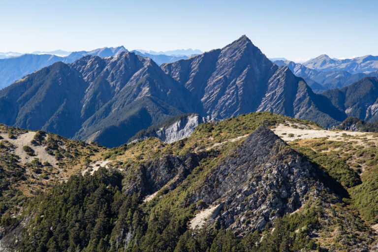
When you return to Ganzhuowan Sancha Peak, find the different trail that leads to Zhuoshedashan East Peak (Pt. 3245 m 卓社大山東峰). The trail of this section may be faint but an experienced hiker should be able to follow the correct route. After you pass under the Zhuoshedashan East Peak for a distance, the terrain will turn rough until the summit of Zhuoshedashan (卓社大山). This rugged ridge is what makes the trail formidable, the so called 18-Peaks (十八連峰). This count is just descriptive as the exact number of peaks often varies depending on how a hiker perceives the contour. But it is no doubt that there are many small peaks where you will have to scramble up and down carefully.
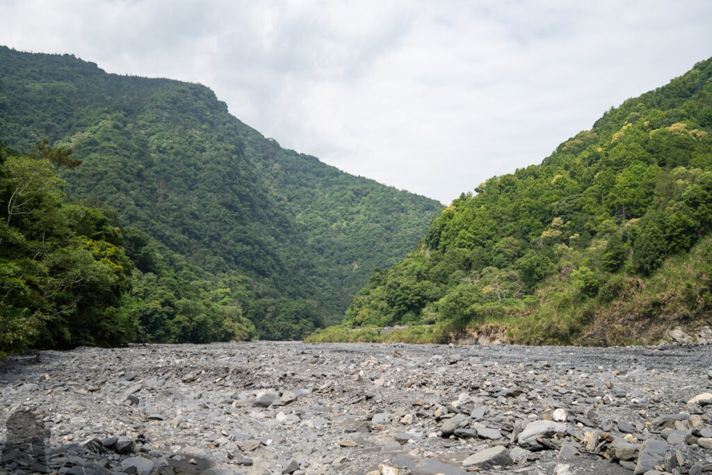
The trail descends sharply soon after Zhuoshedashan and the elevation drops over 1200 m before reaching the abandoned Wujie Forest Road (武界林道). The rest of the hike is to go down through the winding forest road by taking many shortcuts to pass different sections of the road. The terrain eventually turns level shortly before you walk out the forest to join the riverbed of Lixi River (栗栖溪) at the elevation 800 m. You may see your driver already standing by on the other side of the river. Find a way to cross the river safely and now you can go home.
Hiking Safety on Ganzhuowan Peaks
This is a difficult trail. For more comprehensive information, please read “Hiking Safety in Taiwan.” I would expect a hiker who is competent to this hike should be familiar with all the topics in the article.
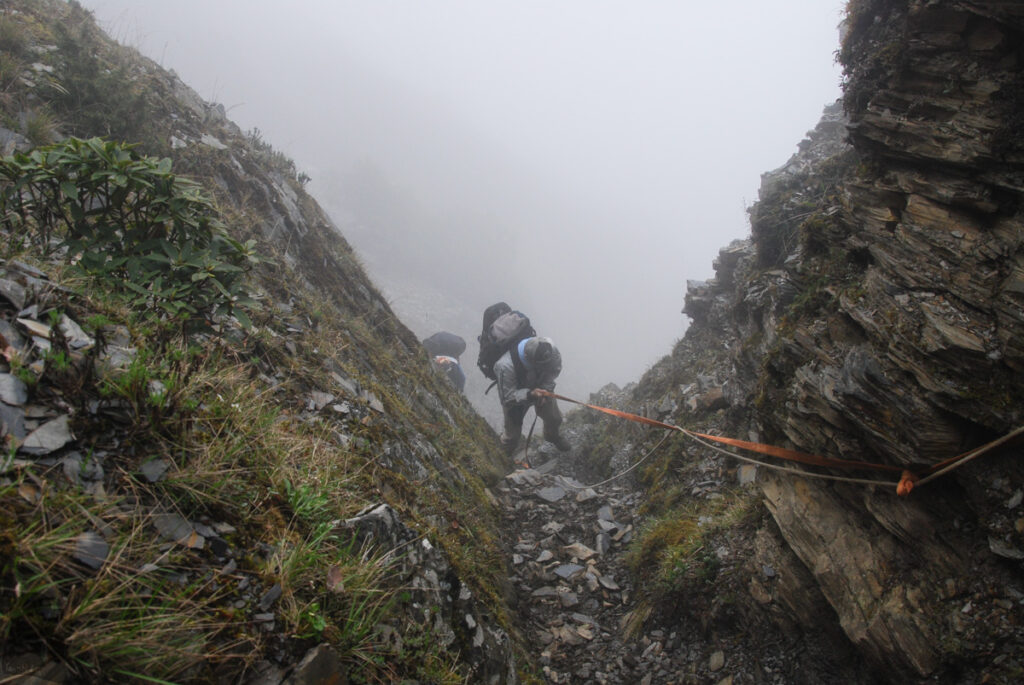
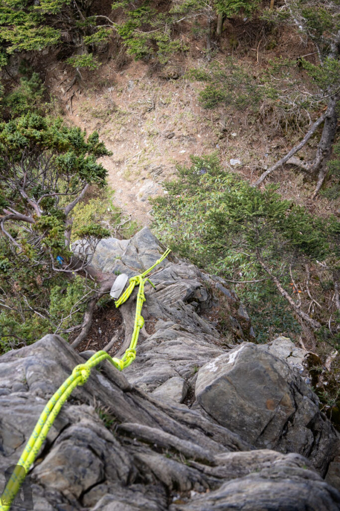
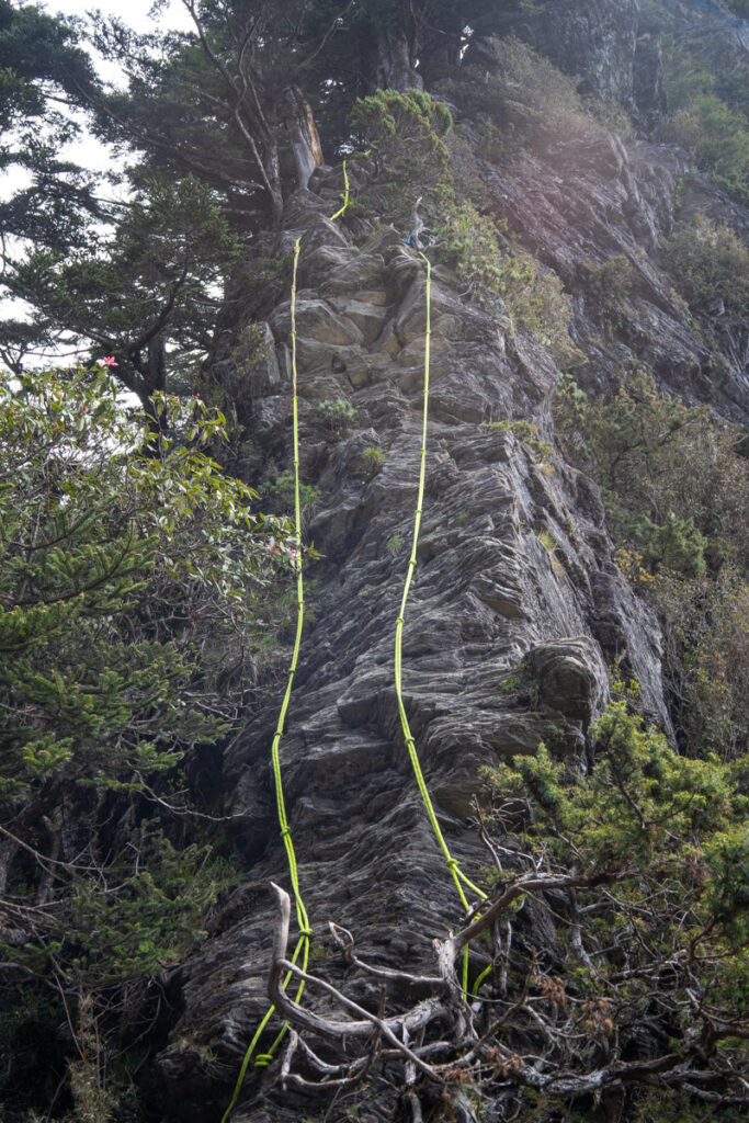
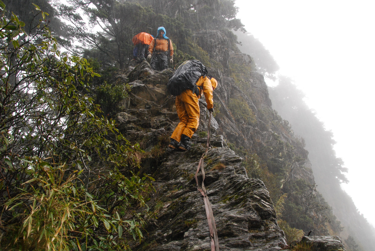
Traditionally Ganzhuowan Peaks together with Qilai East Ridge (奇萊東稜), Mabolasih Trail (馬博拉斯橫斷) and South Section 3 (南三段) are regarded as the four most difficult trails among the hikes for Baiyue. Technically this trail is still a hiking trail which does not require the skills of technical climbing to conquer all the obstacles along the way. All the dangerous spots already have fixed ropes to assist you but an above average level of fitness, navigation skill and a sound judgment are essential to finish the hike unharmed.
You may need to consider the following things when preparing for this hike: (All the locations described are in the order from Wanda Forest Road to Wujie Forest Road, the usual direction which most hikers travel on this trail.)
Mountain entry permit
Mountain entry permit is required: although some people claim that a permit is no longer required to hike the trail, this statement is not totally correct. Mushan and Zhuoshedashan are within Nantao County – Xinyi Township (南投縣信義鄉), the jurisdiction still asks a permit to hike. To make your intention clear to the police department, you can add Ganzhuowan Peaks (干卓萬群峰) and the full hiking plan into the application. This is a part of bureaucratic and confusing work to make a hike legitimate in Taiwan.
The trail condition
This trail is not regularly maintained by any authority and is not well signed. If you rely on a well-formed trail and markers to stay on the right course, this is not the suitable hike for you. From time to time there may be enthusiastic volunteers going to replace wore ropes and a few hikers may leave some markers along the trail. That is all the maintenance. No cabin, shelter or any kind of facilities throughout the hike.
The route-finding inside dense bamboo jungle can be confusing, particularly before approaching Shili River Campsite; the fallen trees may mask the trail and one or more misleading paths may make you go astray. If you find the “trail” become narrow and faint and you have not seen any trail markers for a certain distance, it is likely you are already off course. Frequently check your location with an offline map /GPX files to save you precious time and energy.
Also pay attention to where every shortcut starts / ends along both forest roads by following the trail markers. You must follow these shortcuts to join different sections of the forest road. Do not try to walk along the entire, the original forest roads as they may not be passable anymore.
Where to find water?
The availability of water is a concern, especially when a fine weather dominates for a period of time.
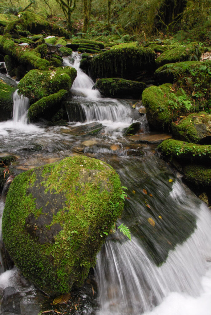
From Wanda Forest Road to the stream beside Shili River Campsite, there should be two or more places that you can get water. When you reach the ridge, it appears that Mushan Pond always has water, just the matter of its quality. There are two other places that you may find some water, one is down the Ruxingfeng East Saddle Campsite (乳形峰東鞍營地) and the other is near Mushan Pond. Please check their exact locations using Rudy MAPs. But I have no idea about the paths and stability of these two water sources.
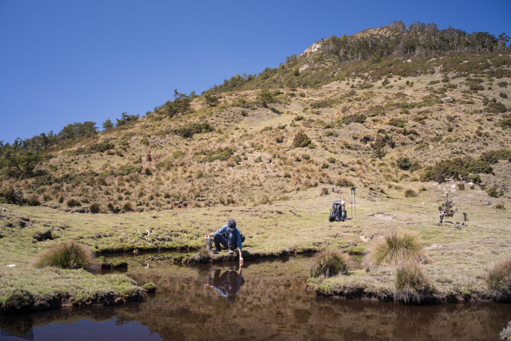
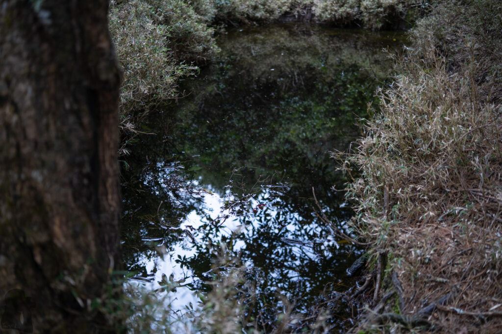
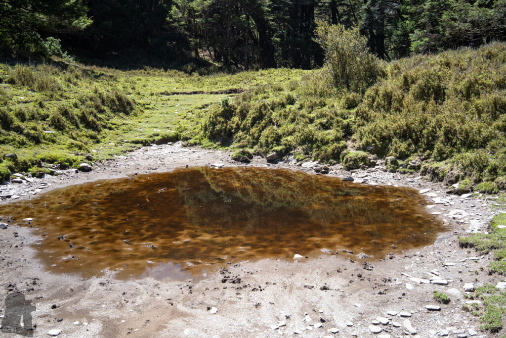
Once you pass the saddle between Ganzhuowan Sancha Peak and Zhuoshedashan East Peak (Pt. 3245 m), you should not miss the big pond below Zhuoshedashan East Peak; this pond seems rarely dry because many trip reports mention it. Between Zhuoshedashan East Peak and where the 18-Peaks starts, there might be one or two ponds, the one closest to 18-Peaks looked deep enough to hold water for most of the time in a year.
The next location to get water is from the muddy ponds at 2900 Campsite after passing 18-Peaks and Zhuoshedashan. After 2900 Campsite you probably will not find any fresh water until reaching the elevation 950 m where a stream flows beside Wujie Forest Road. As this is already near the end of your journey and so it is not very helpful.
I read some hikers who collected enough water from Shili River and finished the rest of hike with all the water with them. However, this would make your backpack unusually heavy unless you are a fast hiker and intend to complete the trip in three days (a normal schedule for Ganzhuowan Peaks takes five days).
Risky sections to negotiate
There are quite a few dangerous sections to negotiate carefully. Shortly after leaving Shili River Campsite, the trail becomes very steep; there were one or two sheer gradients where I had to extend my arm or leg to their limit to reach something solid without loading my entire weight on the old ropes; The narrow ridge following Ganzhuowanshan and the three steep cliffs are the strenuous tasks before you can arrive Ganzhuowan Sancha Campsite.
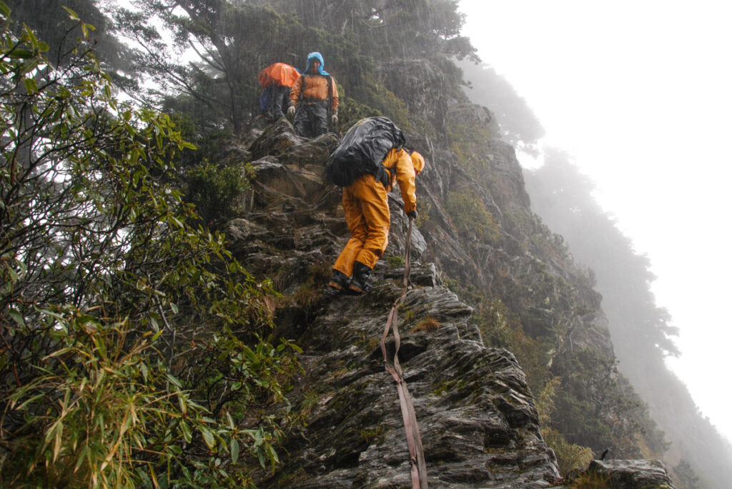
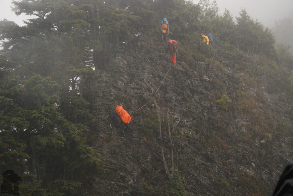
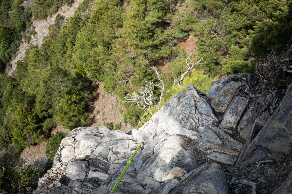
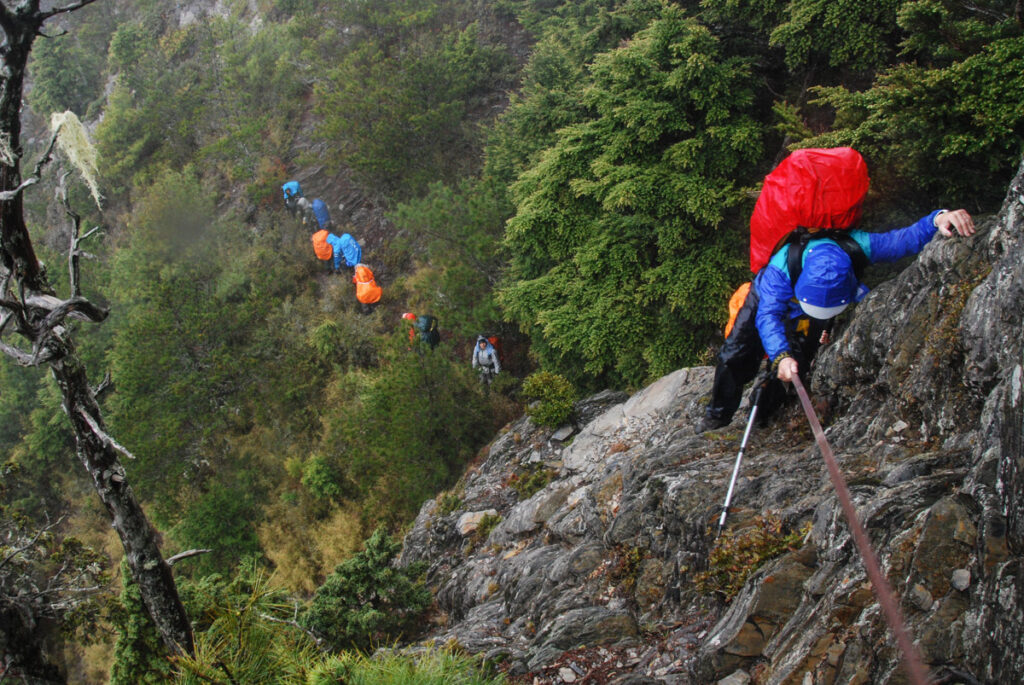
The highlight of the trip is to scramble on the rugged ridge of 18-Peaks. For someone with fear of heights, the four (?) long drops on the precipitous rock faces will be the huge mental pressure. There can be a significant delay if there are hikers in front of you waiting their term to descend one by one. Although those fixed ropes on-site can assist you moving up and down those dangerous places, but never totally trust their strength. Try not to grip the ropes with both hands while scrambling. I always let one hand to hold on something else, a rock, a tree or a bunch of bamboo shafts and let the feet support the majority of my weight.
River crossing
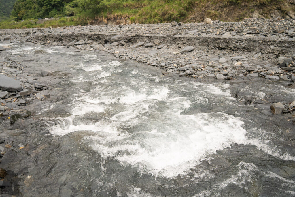
The final challenge is to cross Lixi River. It was not uncommon to hear hikers were stranded on one side of the river and then needed the help from the people on the other side. Lixi River is known to swell substantially after heavy rain. If you hike with others, a rope can be useful to assist each other fording the river. If you hike solo, you may need to walk along the riverbed a while to find a place where the stream looks safe to cross. Your driver or others on the other side of river may be able to see you, let them know if it appears too risky to cross the river.
My story about the hikes on Ganzhuowan Peaks
You will know why this trail is the most unforgettable one to me by reading the following content.
Since 2011 I hiked on this trail five times but only successfully completed the entire trail once.
The first and the second attempts
The first attempt ended at Shili River Campsite in 2011. During that night a downpour struck us; a teammate’s tent was flooded and all his clothing got wet. This was because he pitched his tent right in the front of a small dry creek, which was hardly noticeable when the weather was fine. Even the weather was turning better in the next morning and our guide tried to persuade us to carry on the hike, we, discouraged by our mate’s misfortune, were reluctant to go any further. But I believe that is the right decision back then as it is near impossible to have soaking wet cloths dry again in the mountains.
A few months later, my second attempt failed again at Shili River Campsite. The rain kept falling all day long. We even dug a mini ditch beside our tent to drain the water. During this time it was our guide (a different one) to halt the trip in spite of our high morale. Before we were picked up on the forest road, we had to climb over a new landslide which buried the road after our departure.
The third hike, a successful but dramatic one
In 2013 my third hike for this trail finally succeeded with loads of dramas. On the second day of the hike, just when I cheerfully passed beyond Shili River Campsite and reached the ridge, the weather was turning worse. Since then the sky was hidden through the rest of the trip.
The day we went to Huoshan was too foggy to take any photo. If I did not find the only photo taken at the peak of Huoshan, I could not even remember I was really there. It must be a boring walk that the memory was masked by many other events happened afterwards. The following dramas recalled are not mentioned with a time sequence as my memory is in chaos like the weather during that time.
In a morning I saw a tent blown away when a teammate was disassembling it; the owner chased it on the gentle slope in a fluster. Like a trick, the wind let him catch up a bit and then sped up the tent again until it finally disappeared downhill. Three guys were lucky that we had a tarp used as the shelter for cooking that they can stay for the following days. I would be dead if losing tent this way while hiking solo.
In an afternoon, while cooking inside my tent (this is probably a bad habit; be aware the ventilation and fire!), the floor suddenly bulged, almost tipping over the stove and pot. After being stunned for five seconds, I realized the ground under this tent was becoming a pool. I moved everything out of the tent under heavy rain, dragging the whole tent around till settling down again on a reasonable location. After shivering with worry for a couple of hours in my damp sleeping bag, I decided to change my soaking wet cloths including the underwear because I could not dry them with my body’s heat anymore.
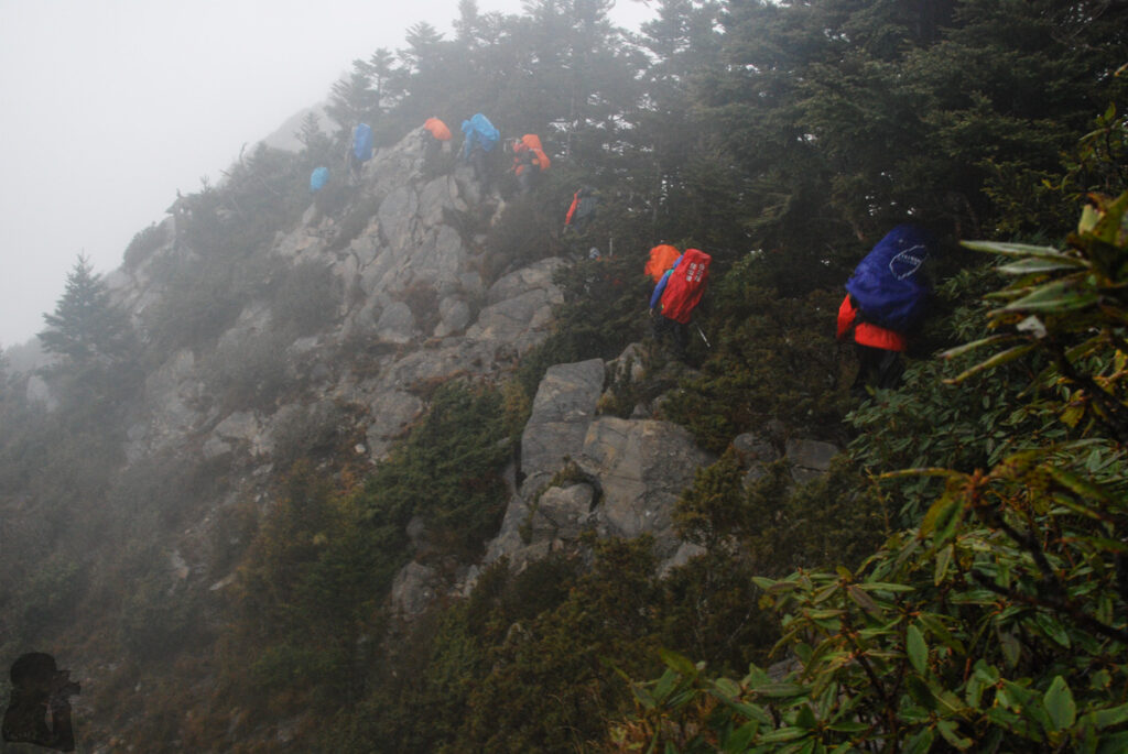
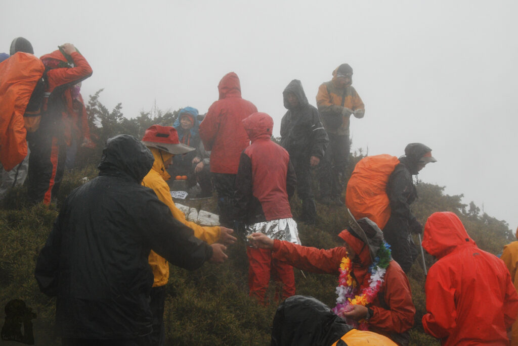
The last two days were long suffering days where we were at the brink of incidents. It started from passing 18-Peaks under the downpour. Our team split into three groups naturally because of the difficulty to scramble at those dangerous drops and some of the teammates seemed having troubles to follow the trail due to inexperience. I was in the middle of the whole team and frequently heard someone yelling behind, asking an instruction, even there was no way they could get lost on the narrow ridge.
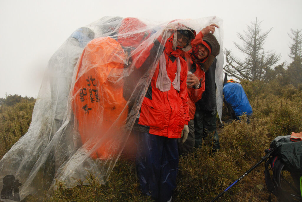
A teammate was not well. He shivered badly and seemed losing coordination, a sign of hypothermia or altitude illness, or both. We took over most of the weight from his backpack and helped him put on an emergency blanket. Slowly but steadily the mate made it himself through all the dangerous spots safely. The leading group finally stopped at the top of Zhuoshedashan. When I arrived there, many of them are hiding under a big piece of plastic, standing and shivering. We kept waiting in pouring rain for more than two hours until the trailing people caught up. Being unable to reach our scheduled destination, we decided to stay at a small campsite by a tarn not far under Zhuoshedashan. The only advantage to hike in this kind of weather is having unlimited water supply.
The last day was an endless descent from elevation 3330 m to 800 m, a knee-wrecking day. On top of that my camera’s battery was dead, the shame I regret for many years. The route to join Wujie Forest Road back then was different from the current one. There was a place called V-shaped Cliff (V型斷崖) that we had to pass it one by one on an extremely exposed terrain. The footholds on the cliff were no wider than a boot that our guide had to give us clear instruction where to step preciously.
By the time we descended to Lixi River it was already dim. But the torrent of the river still awaited us. One of our drivers on the other side of river, together with our guide, installed a rope to both banks while we were taking off our clothes to prepare the river crossing. We were secured to the rope and crossed the river one after another. The river was hip to waist high, applying strong force to push me almost off the ground; I don’t think I could make it without the aid of that rope. This 20-meter crossing felt like life-long. A teammate was sandwiched between two persons to move along the rope due to exhaustion.
Oh! I really wish I could film the scene! Our guide, the most experienced hiking guide in Taiwan, did a fantastic job to keep everyone safe in such circumstance. He must be under great pressure in these days.
We arrived Puli at midnight to have our “dinner.” Not sure why that restaurant open until that late? It was a quiet meal unlike any other meals I had after a hike. The vans took us back in Taipei in the early morning. When I woke up in the sunny afternoon, strolling the streets, I wondered what happened in the past few days and felt the surrounding was so unreal.
The fourth hike, surprisingly the shortest one
My fourth trip to Ganzhuowan Peaks finished in a weird way. Fast forward to the autumn in 2024. There were several typhoons coming closer to Taiwan unusually late in that year. I waited till the weather eventually clam and started the hike solo in the hope of taking more photos and time-lapse videos this time.
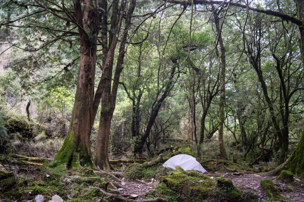
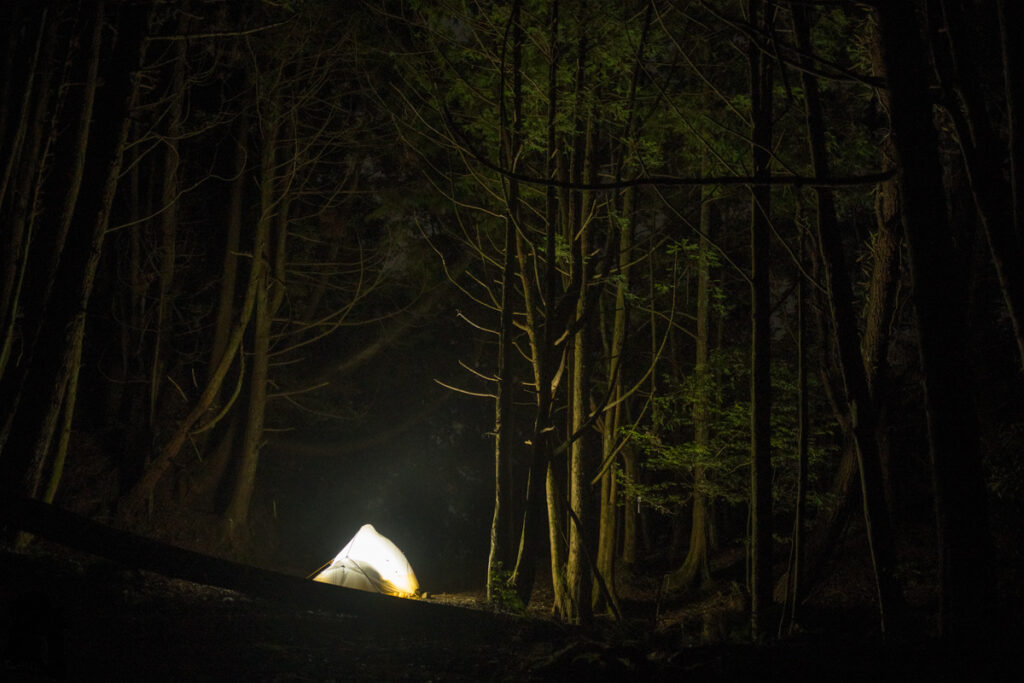
Given a late departure from Puli, I camped at a small place well before Shili River Campsite. Three young porters passed me, carrying supplies to the campsite for their clients. One of them asked me if I can give them two packs of pocket tissues.
When I set off in the following morning I saw what my tissue was used for. They stuck the tissue on bamboo shafts as trail markers! I followed my tissue for a while until I realized these young fellows did not walk on the trail, they were just making their own way. It took me a hard effort to correct my course within the bamboo jungle.
When I entered the area where many big fallen trees lying on the trail, I found myself was stuck in front of a tricky spot. Two or three trunks laid against each other on a pretty steep place. The space under the trees was too small to crawl and the trunk was too inclined and slippery to hug on it without risking a life-threatening fall. I attempted three times but my two camera bags, one on the chest and the other on the waist, impeded my move badly. My sixth sense told me it was the time to quit. If I could not even pass this obstacle easily, there will be much more dangerous places ahead. A quick decision with frustration terminated the trip. I walked down the entire Wanda Forest Road on next day to Chih-Ai (親愛). From there I took the bus back to Puli with a broken heart.
In the evening I watched the final of WBSC Premier 12, in a hotel with a very old TV. It was the game of many exhilarating plays and my shouts. The moment when the game is over, I burst into tears. I know I am destined to watch this game.
The fifth hike, the one I finally got some nice photos and videos
My fifth trip in 2025 was a success although it was not perfect. The only thing bizarre was that I could not find the location where the fallen trees stranded me before Shili River Campsite. This is so strange! But maybe I was actually astray last time. If that obstacle was too difficult to me, it should be even more difficult to many hikers.
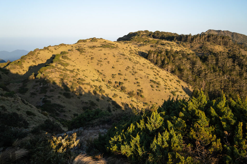
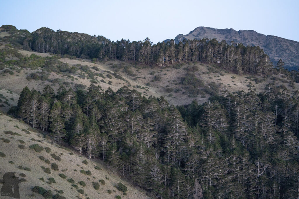
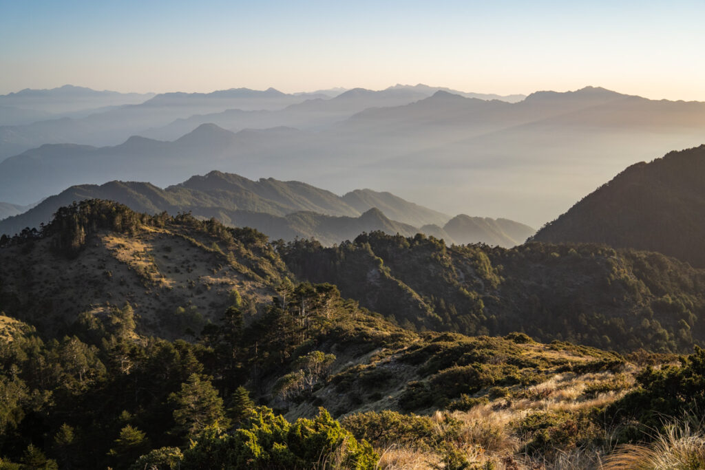
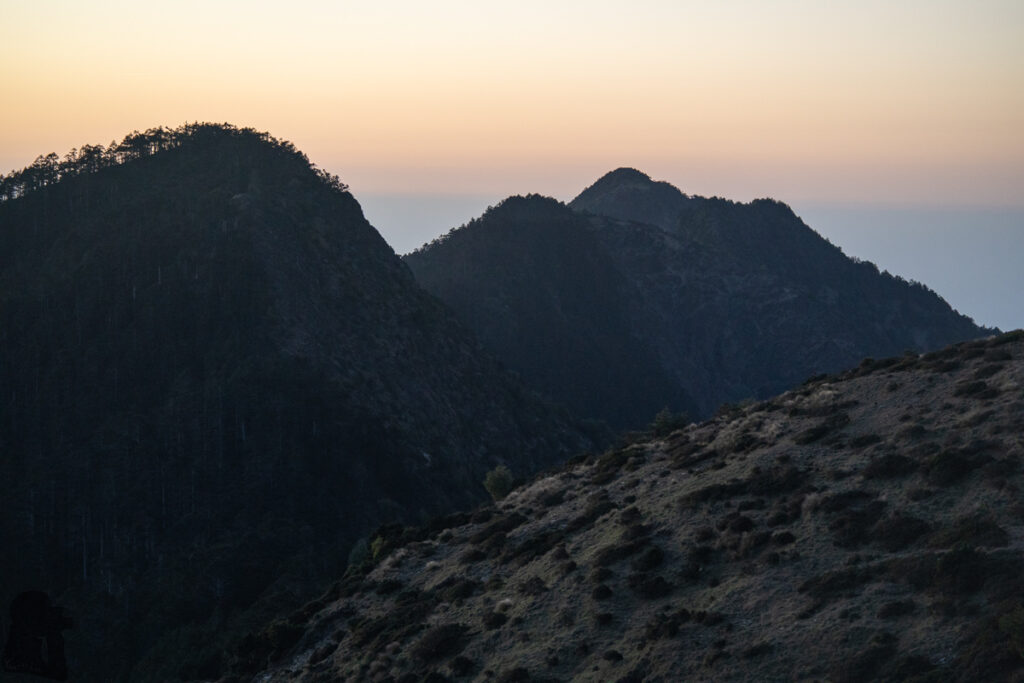
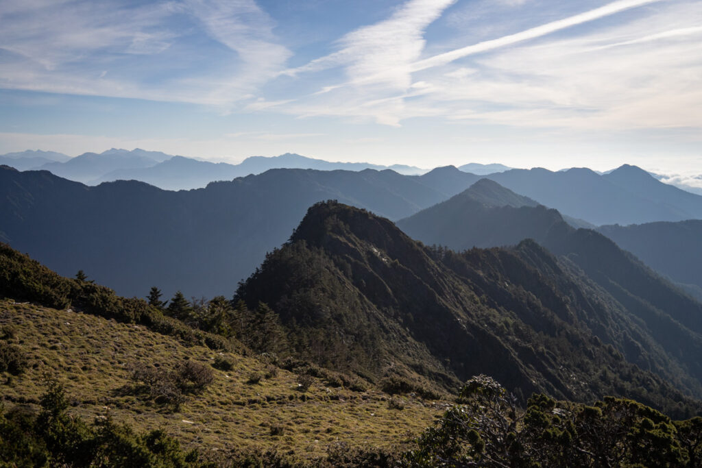
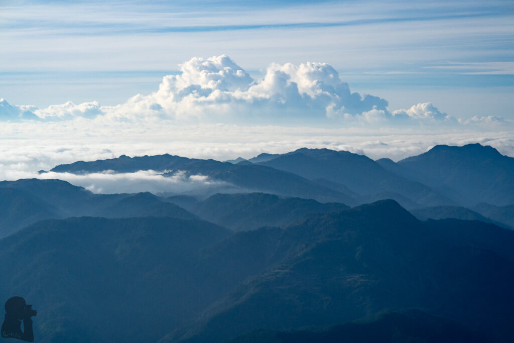
Anyway, I stayed in Shili River Campsite alone with the only visitor, a rat which climbed my tent. On the second day it turned raining and foggy like my previous trips, but got clear and very warm from the morning I left Mushan Pond. The weather was perfect but I gave up the hike to Huoshan to save more time for taking pictures and time-lapse videos. The sky was way too sunny as well, the condition that could exhaust me quicker than a raining day.
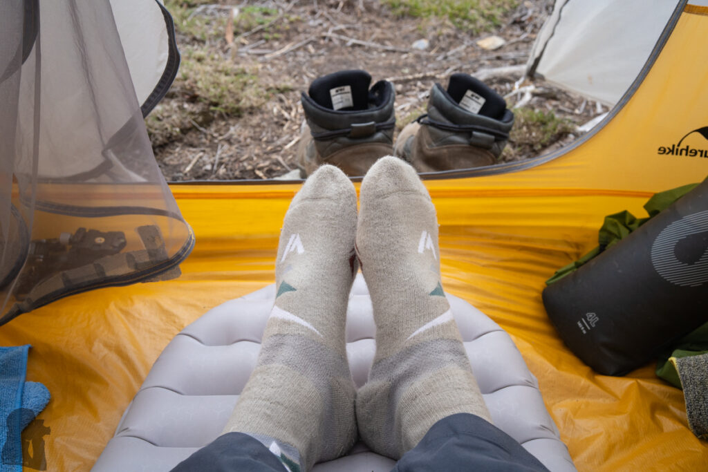
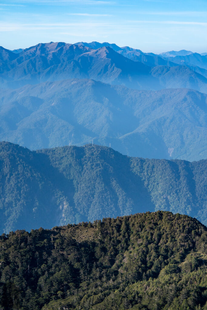
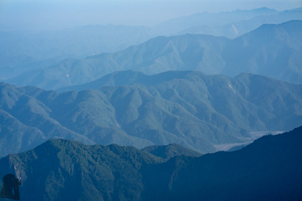
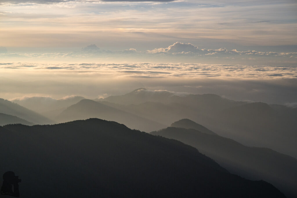
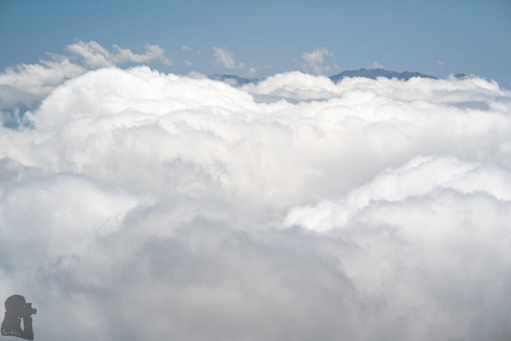
The remaining days of the hike was a breeze. Without heavy rain and a group of hikers around I passed 18-Peaks smoothly and safely, watching all the scenery I missed out during previous attempts. Lixi River was tame this time. By flying over a two-meter wide stream and a few smaller hops, I crossed the river. Boots remained bone dry!
Trip Photos