The content on this website is published in English. I cannot guarantee the quality of the translated text generated by the plugin of this website. The machine-translated “names” and “terminology” are often inconsistent and/or incorrect. If it looks confusing, please switch back to the English version.

Disclaimer: Information such as the locations or the trails shown on the maps of this website might be inaccurate, misleading or out-of-date. They are only the simple illustration for the ranges of the hiking trails or the points of interest. Please prepare your own navigation device, apps, topo maps, and GPX files for hiking.

About the routes to Beichatianshan
The Difficulty Rating: ★★★☆☆
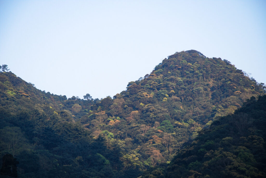
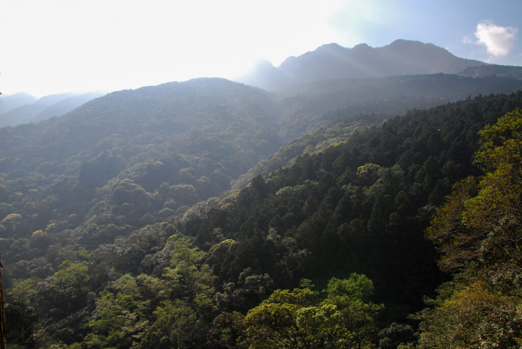
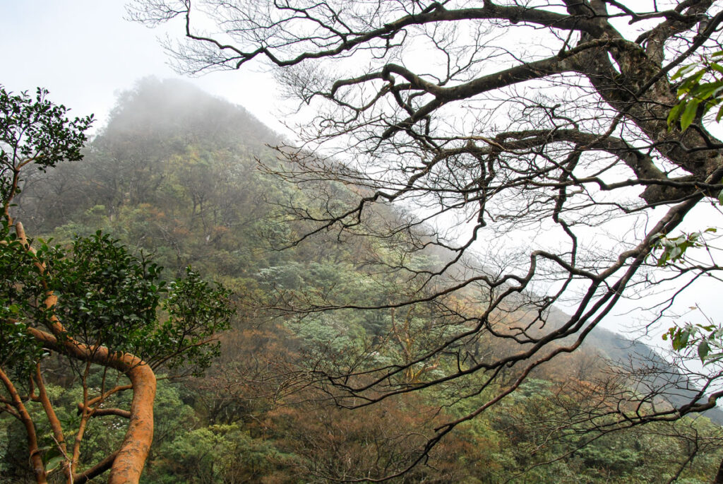
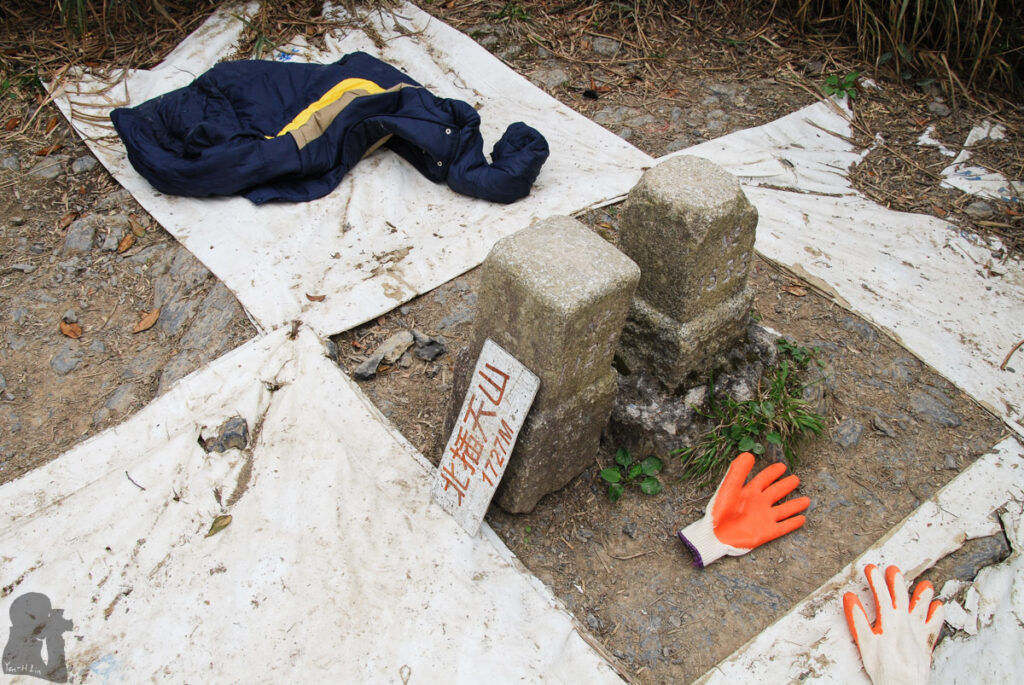
Beichatianshan (北插天山), the mountain of 1726 m tall, is a mid-rank mountain (中級山) in northern Taiwan. The golden leaves of Taiwan beech (山毛櫸) in autumn is an adorable scene along the trail.
The trails around this mountain form a complicated network and there are several routes to arrive its top, but some are much more difficult than the popular ones. This is the current route advised by the authority (2025). Because Beichatianshan and the trails are in the Chatian Mountain Nature Reserve (插天山自然保留區), therefore you will need to apply for an entry permit beforehand.
I hiked on a classical route (the old route) in 2010 which started from Manyueyuan National Forest Recreation Area (滿月圓國家森林遊樂區), turned to Dongman Trail (東滿步道) and then veered to Mt. Beichatian Summit Trail (北插天山登山步道) at the junction. (The last steep section of the route, from the historic log house site (木屋遺址) to the summit, is closed due to serious soil erosion. Hikers should follow the new route, instruction of the signs and trail markers.)
This old route offered a challenging day hike with the net altitude gain, 1300 m, between the trail head at Manyueyuan (滿月圓) and the top of Beichatianshan. In fact many hikers used this route as a touchstone before a multi-day hike. I have no idea about the difficulty of the new route, but I guess you should not treat it lightly. A navigation device with offline topomap may prevent you from going into other side trails accidentally.
I have been there twice; we ended up walking in the dark due to my knee and back pain on the first hike; I completed it in around 8 hours, a reasonable time, on the second try shortly before going to Qilaishan (奇萊山).