The content on this website is published in English. I cannot guarantee the quality of the translated text generated by the plugin of this website. The machine-translated “names” and “terminology” are often inconsistent and/or incorrect. If it looks confusing, please switch back to the English version.
Disclaimer: Information such as the locations or the trails shown on the maps of this website might be inaccurate, misleading or out-of-date. They are only the simple illustration for the ranges of the hiking trails or the points of interest. Please prepare your own navigation device, apps, topo maps, and GPX files for hiking.
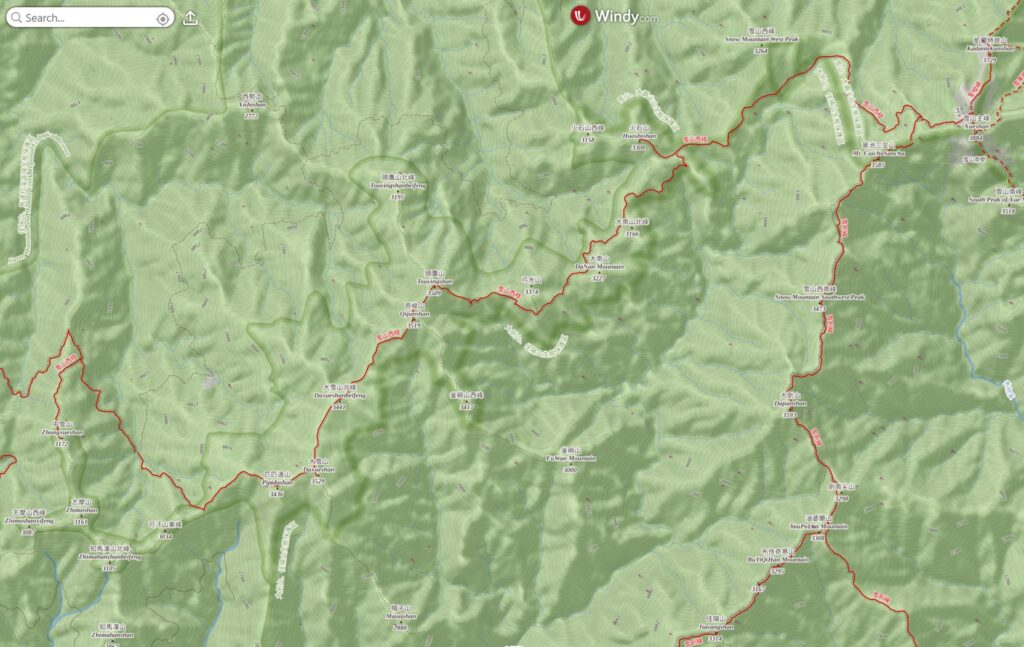
About Xueshan West Ridge (West Xue Trail)
The Difficulty Rating: ★★★★☆
West Xue Trail (Xueshan West Ridge 雪山西稜) is one of the five trails that radiates from the second highest mountain in Taiwan, Xueshan (雪山).
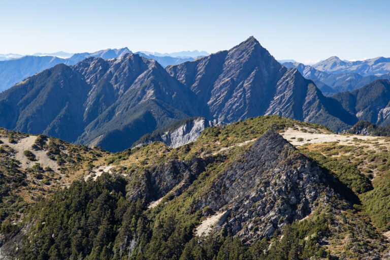
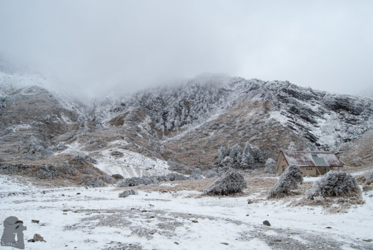
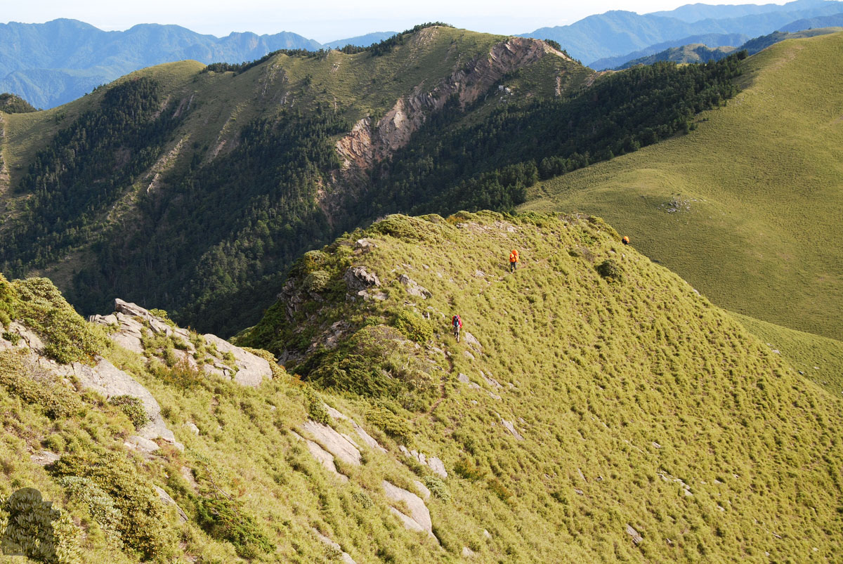
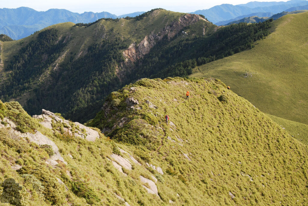
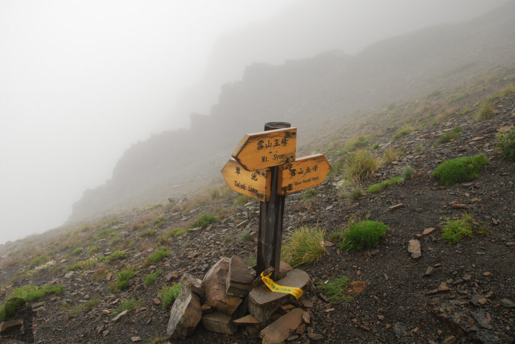
Providing you start the hike from the east side (Xueshan Trail), the trail branches from Xuejian Trail (雪劍線) at Cuei Pond (翠池) and then roughly follows the west ridge of Xueshan until it passes Pipidashan (匹匹達山). Shortly after Pipidashan the trail leaves the ridge and then drops nearly 600 m when it joins the Xishishan Forest Road (230 Forest Road) (西勢山林道/230林道).
The hike to Zhongxueshan (Jhongxueshan 中雪山) is a side trip from the forest road but because it is a Baiyue peak almost everyone goes there unless you have already been there previously.
Among the five trails diverges from Xueshan, West Xue Trail is likely the least visited one. This is probably because the trail is not as famous as Shengleng Trail (Holy Ridge 聖稜線) and this hike also takes more days to finish than others.
For people who wish to ascend the Baiyue mountains on Xuejian Trail, Xueshan-Zhijiayang Trail (雪山志佳陽) and Shengleng Trail, they have the option to do a return hike. But for this trail, to reach all Baiyue mountains on a return trip is not a reasonable option. And it would not be “economic” to hike on two separated trips because you may end up spending more days in total.
The highlight of this trail
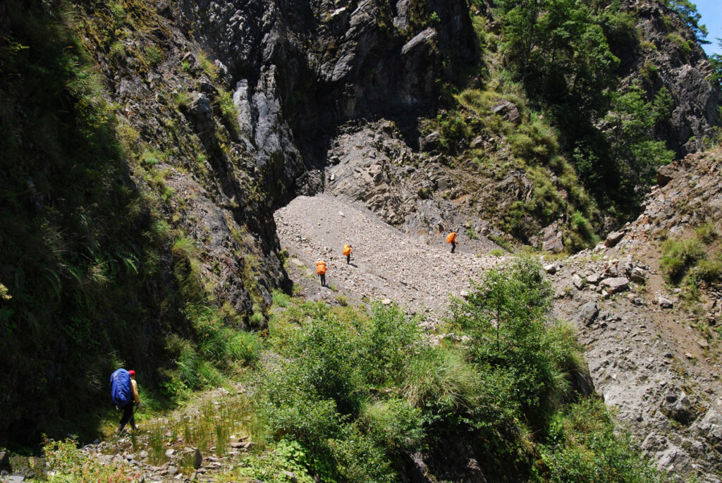
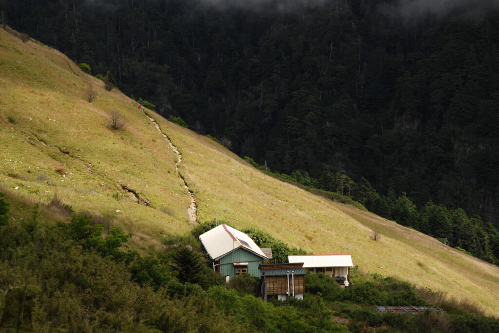
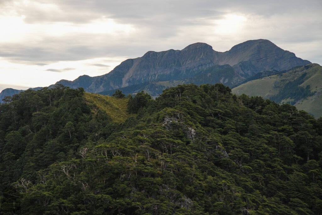
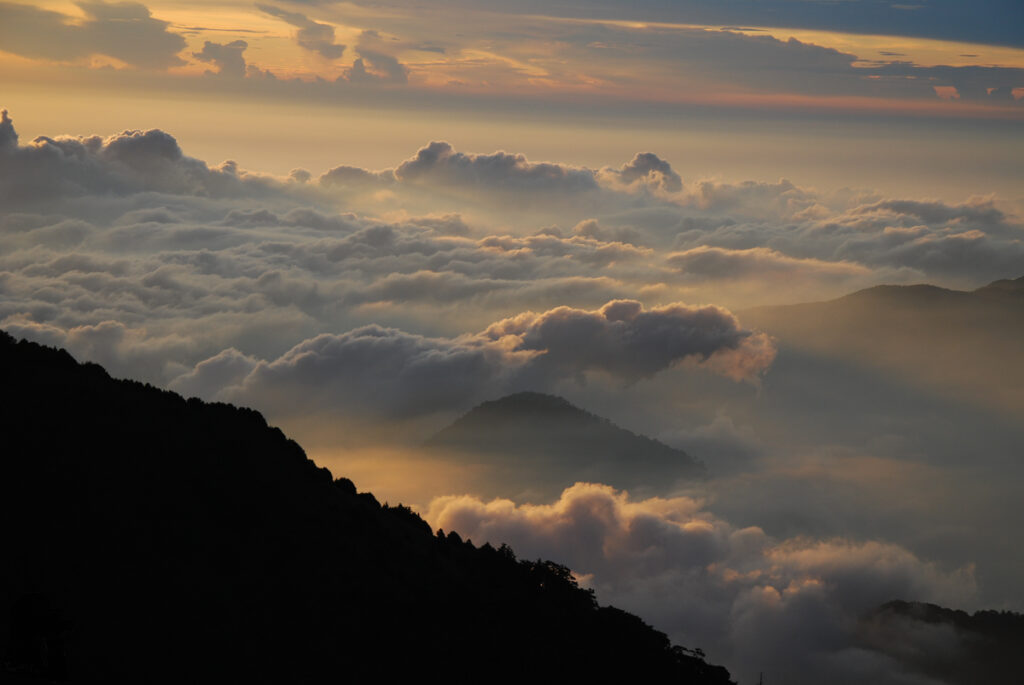
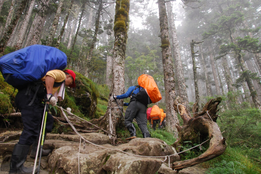
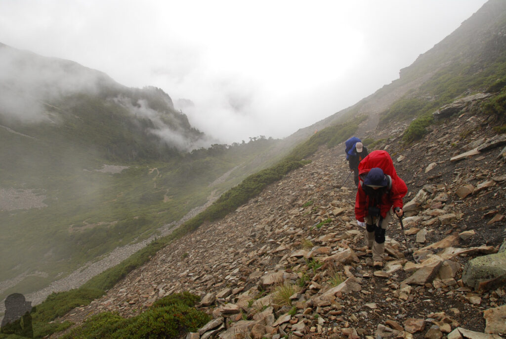
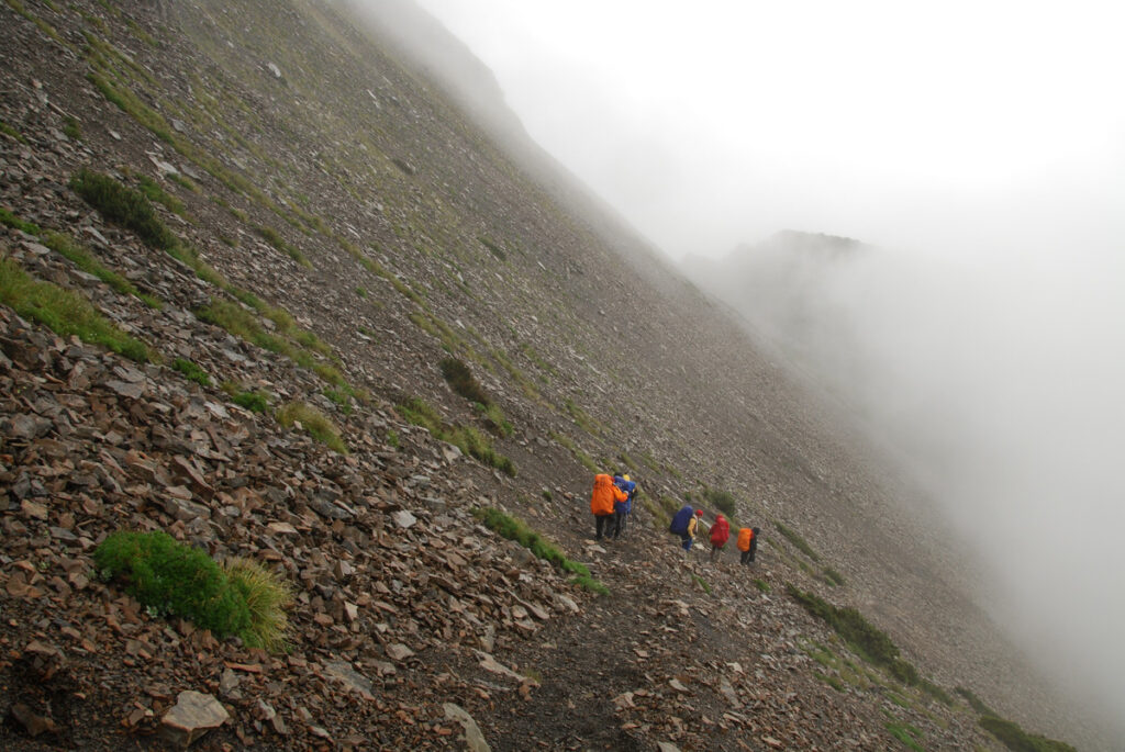
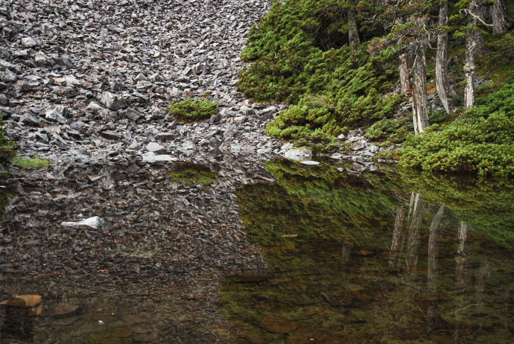
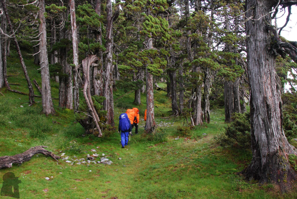
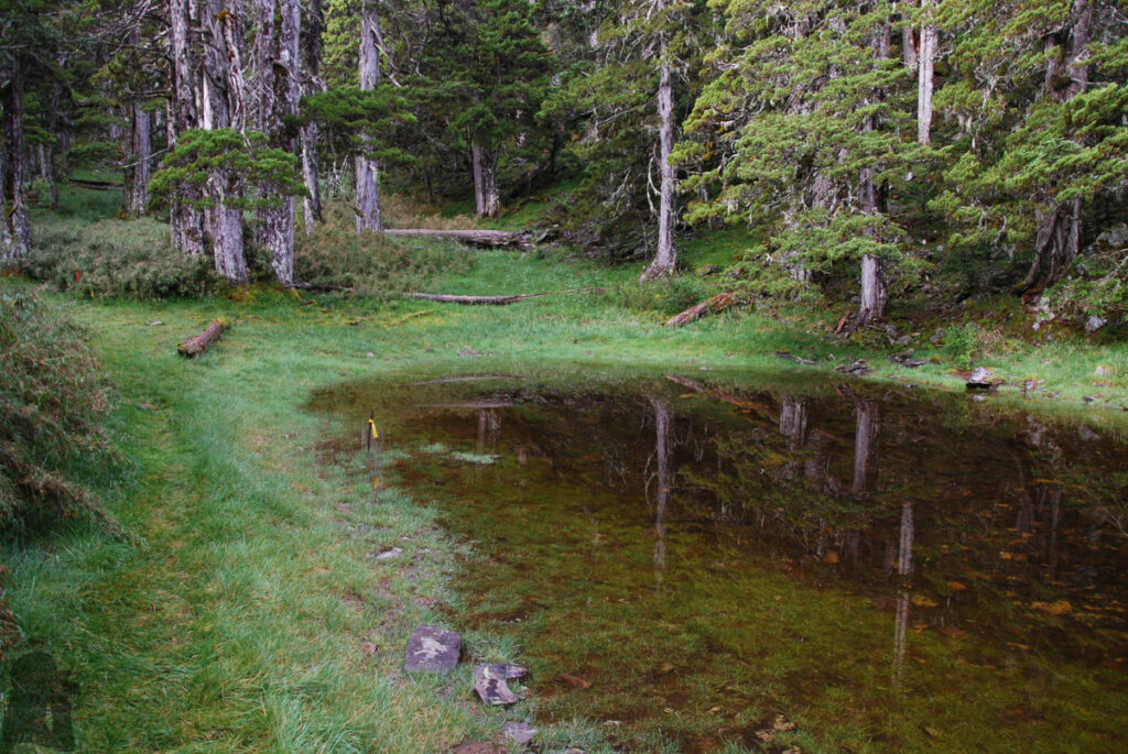
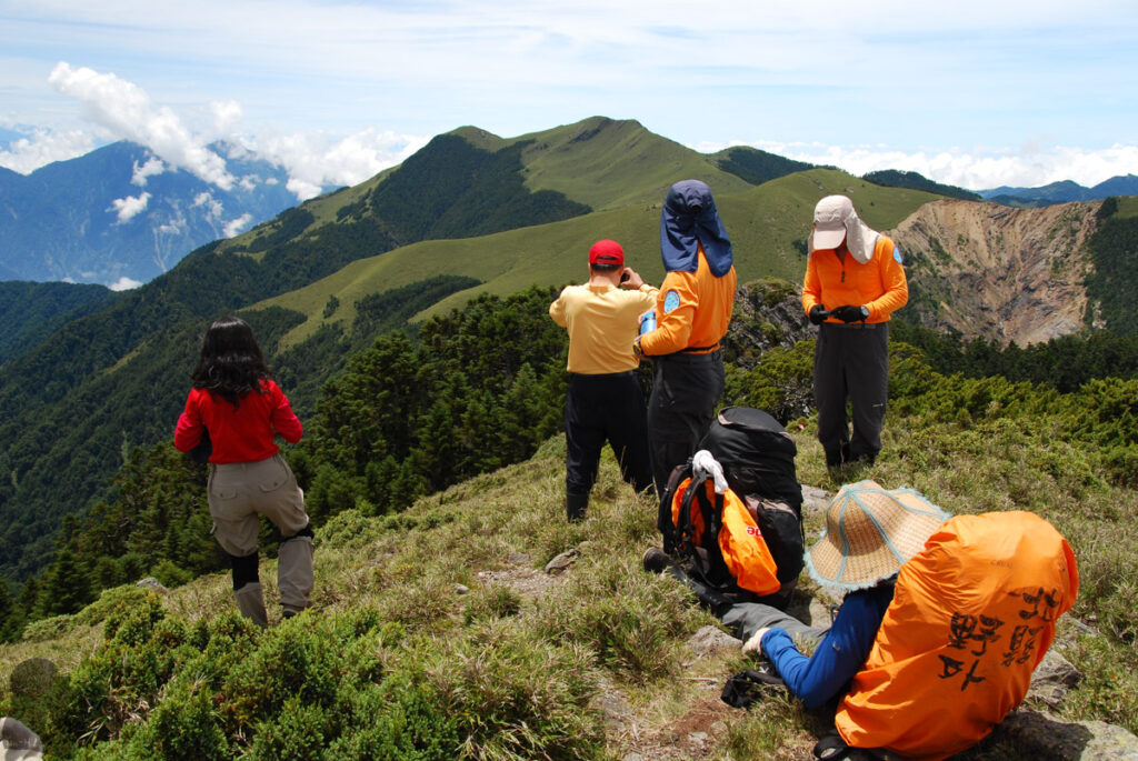
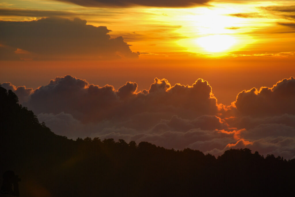
My trip to West Xue Trail was in the summer of 2011. We started from the trail head in Wuling Farm (武陵農場), a common direction for this trail, and hiked for six days until arriving Xiaoxueshan Travel iSite (小雪山旅遊資訊站). When trying to retrieve some trip details from my brain in 2025, the most memorable part would be the second half of the hike, especially if you have been Xueshan or Cuei Pond on other hikes.
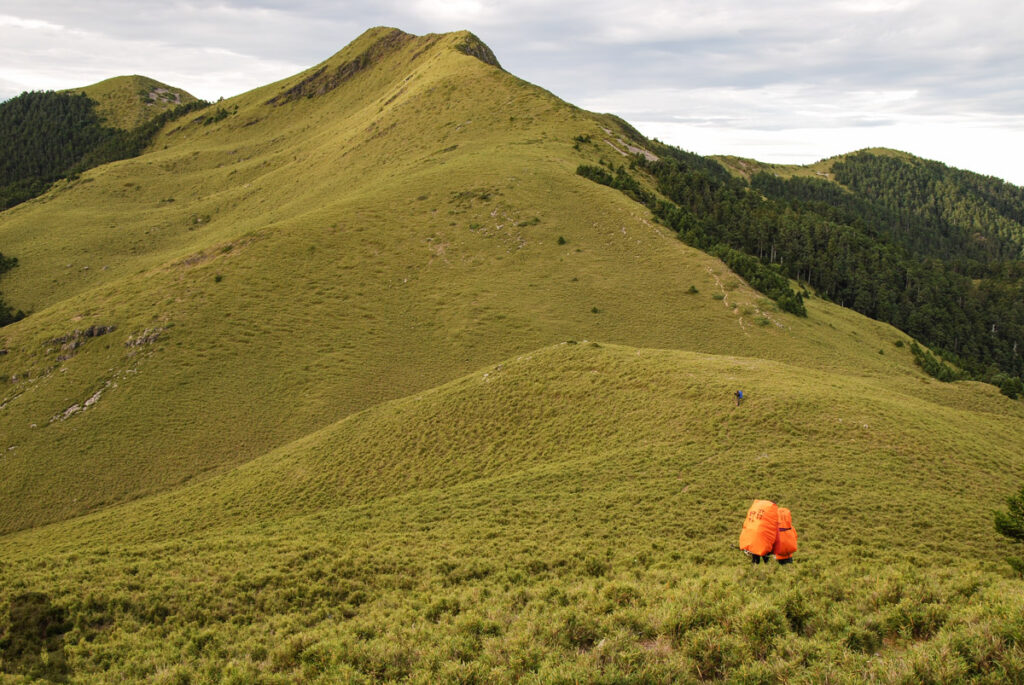
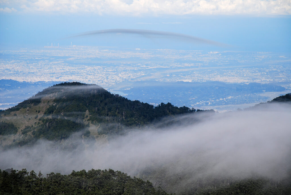
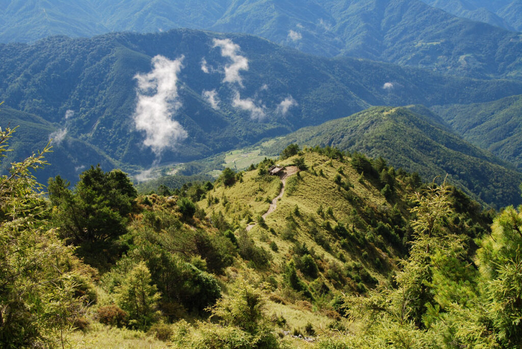
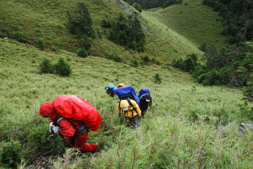
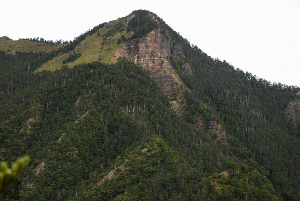
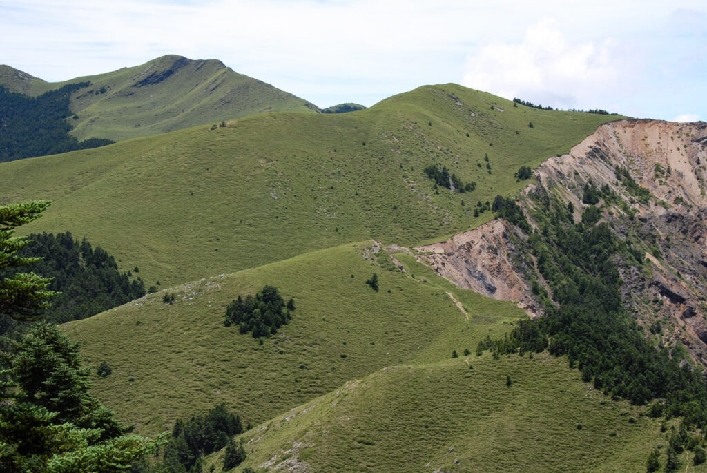
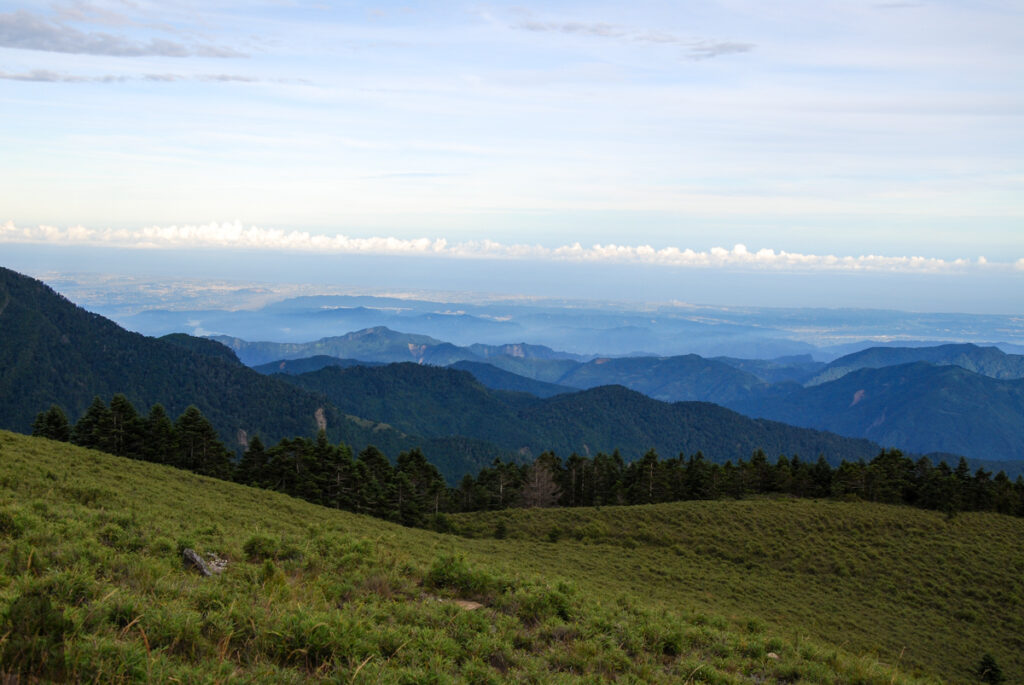
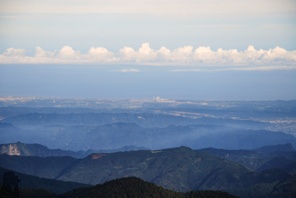
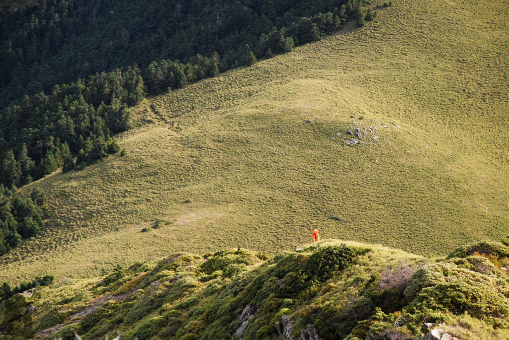
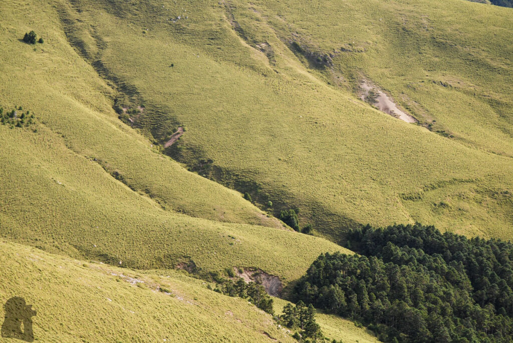
The most frequently mentioned scene of the trail would be the gorgeous grassland around Daxueshan (大雪山) which enters hikers’ sight from Touyingshan (頭鷹山) or Qijunshan (Cijyunshan 奇峻山). When approaching the summit of Daxueshan, the western plain and its coastline seemed very close to us; it did not feel like we were 3000 m above the sea. I found this interesting as most of the high mountains in Taiwan are hidden away from the highly populated western cities, separated by numberless lower mountains / foothills.
The short hike to Zhongxueshan was an ordinary one but a further 10-minute walk to visit the monument for Lin, Wen-An (林文安), the pioneer mountaineer and the founder of Baiyue, was inspirational, although that was the location where he passed away due to bad weather.
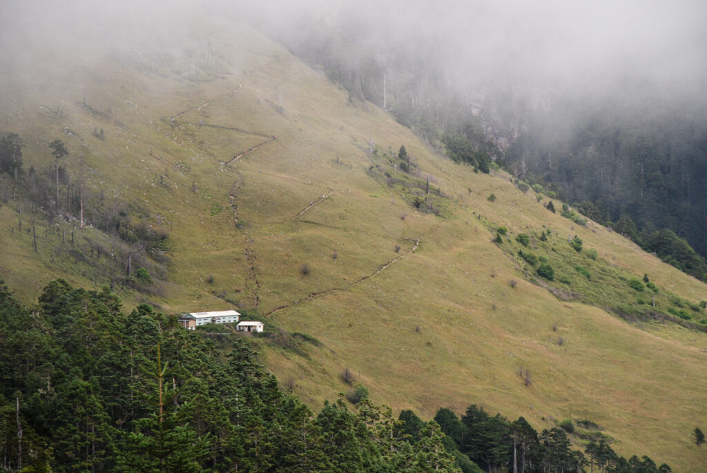
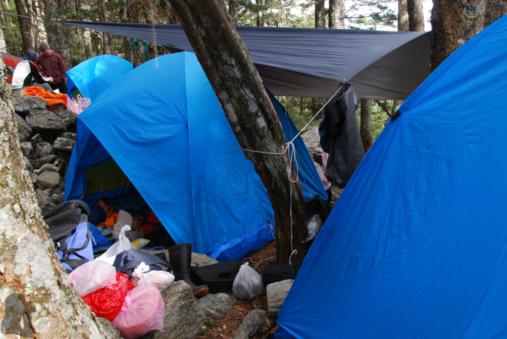
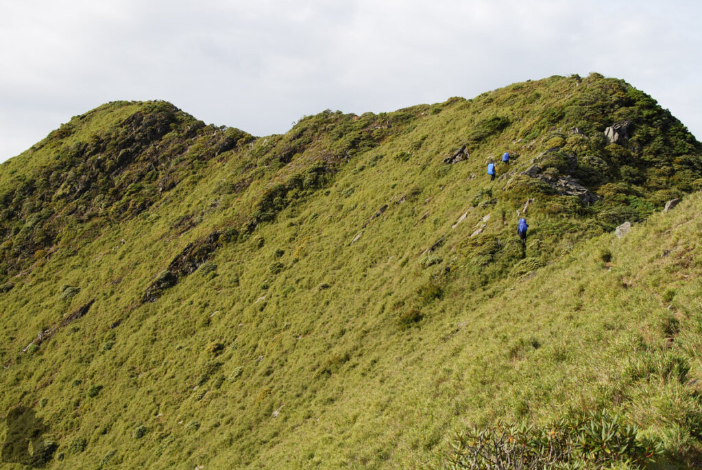
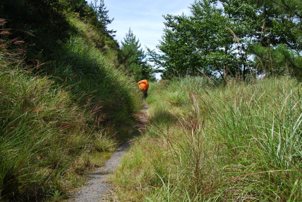
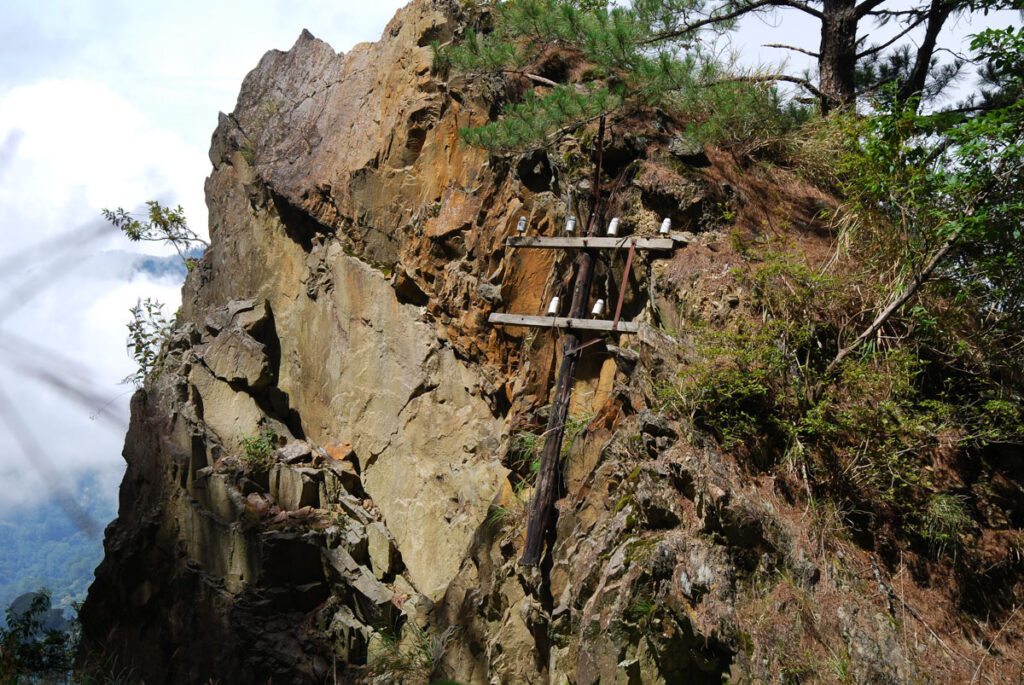
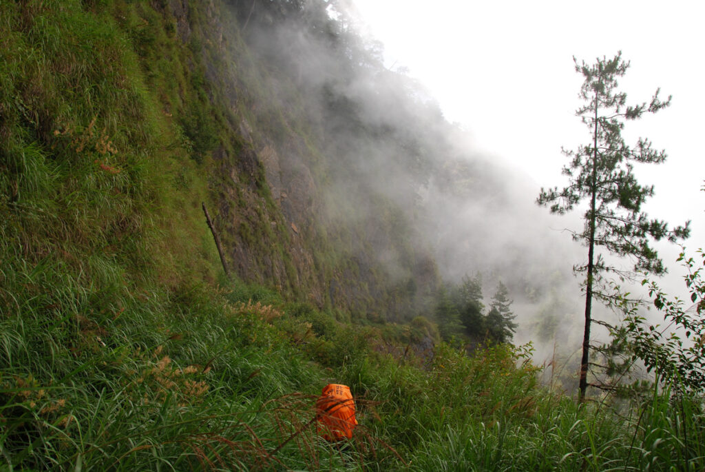
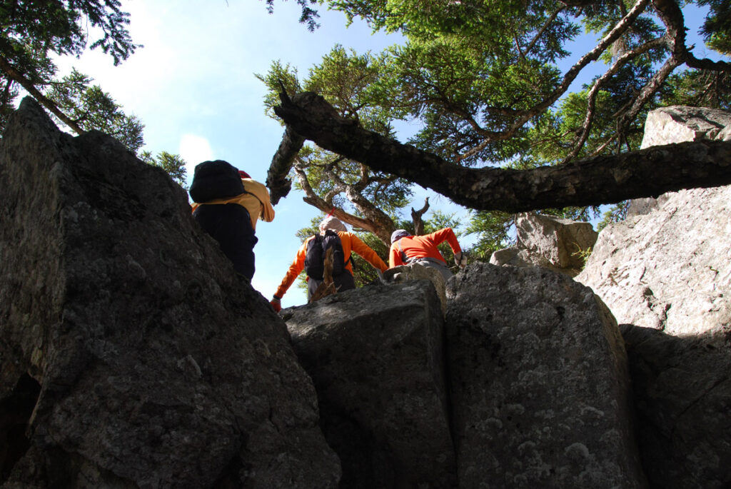
Generally speaking there was no great difficulty or many dangerous spots along this long trail. But after passing Cuei Pond there is no shelter to hide when bad weather strikes. Many years passed since this trip; but I never planned to visit West Xue Trail again. Maybe just because it was not the most exciting trail nor the most beautiful one IMHO.
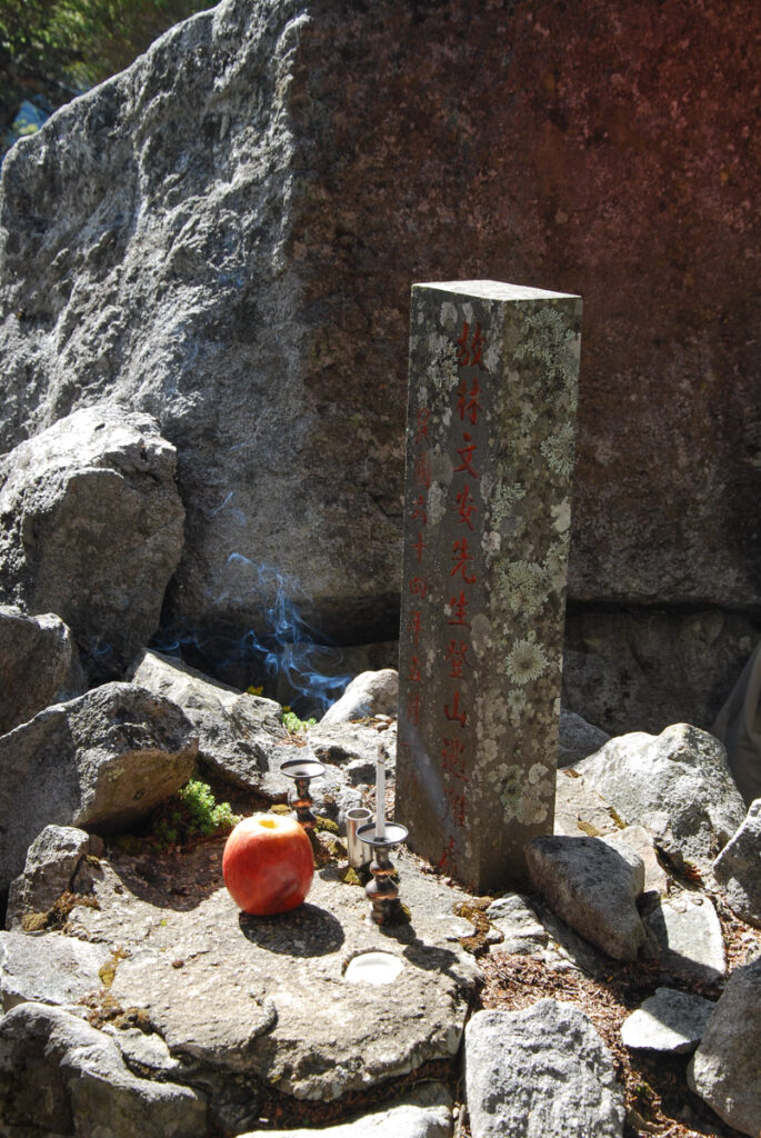
Mr. Lin was not just a famous mountaineer of the time but he also influenced the hiking / mountaineering activities of the following decades in Taiwan.
The new routes established by him and his peers of the generation made climbing high mountains in Taiwan no longer the field of specialists. It gradually became a sport or leisure activity since then.
Hiking for Baiyue (百岳), a list of Top 100 Mountains in Taiwan proposed by him, has been a goal for ambitious hikers to accomplish. For those who have successfully reached all the peaks of Baiyue, it is a life-long honor, a great personal achievement or even something to boast about.