The content on this website is published in English. I cannot guarantee the quality of the translated text generated by the plugin of this website. The machine-translated “names” and “terminology” are often inconsistent and/or incorrect. If it looks confusing, please switch back to the English version.
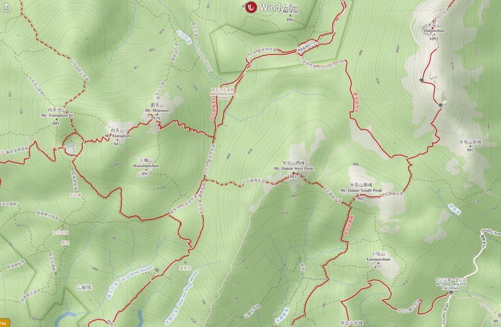
Disclaimer: Information such as the locations or the trails shown on the maps of this website might be inaccurate, misleading or out-of-date. They are only the simple illustration for the ranges of the hiking trails or the points of interest. Please prepare your own navigation device, apps, topo maps, and GPX files for hiking.
About Datunshan and Miantianshan
The Difficulty Rating: ★⯪☆☆☆1.5 (if you take the easiest tracks)
Like Qixingshan (七星山), Datunshan (大屯山) and Miantianshan (面天山) are located in Yangmingshan National Park. They are members of Datun Volcano Group (大屯火山群) where the recent studies suggest they are active volcanoes. Despite the potential risk of their eruption (chance of this might be slime in our lifespan), hiking in this area is a regular activity for citizens of Taipei.
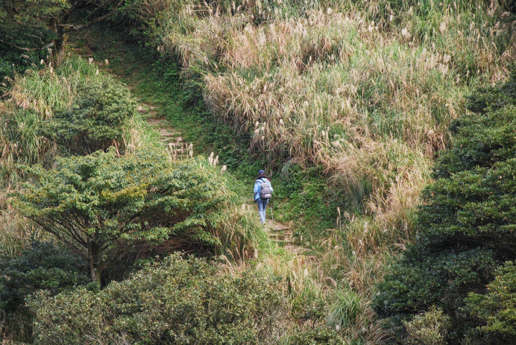
There are various routes to visit Datunshan and Miantianshan on one or more trips. I had two walks there in 2008 and 2010, only taking the easiest tracks and so I could not make any comment about the difficulty of many other trails.
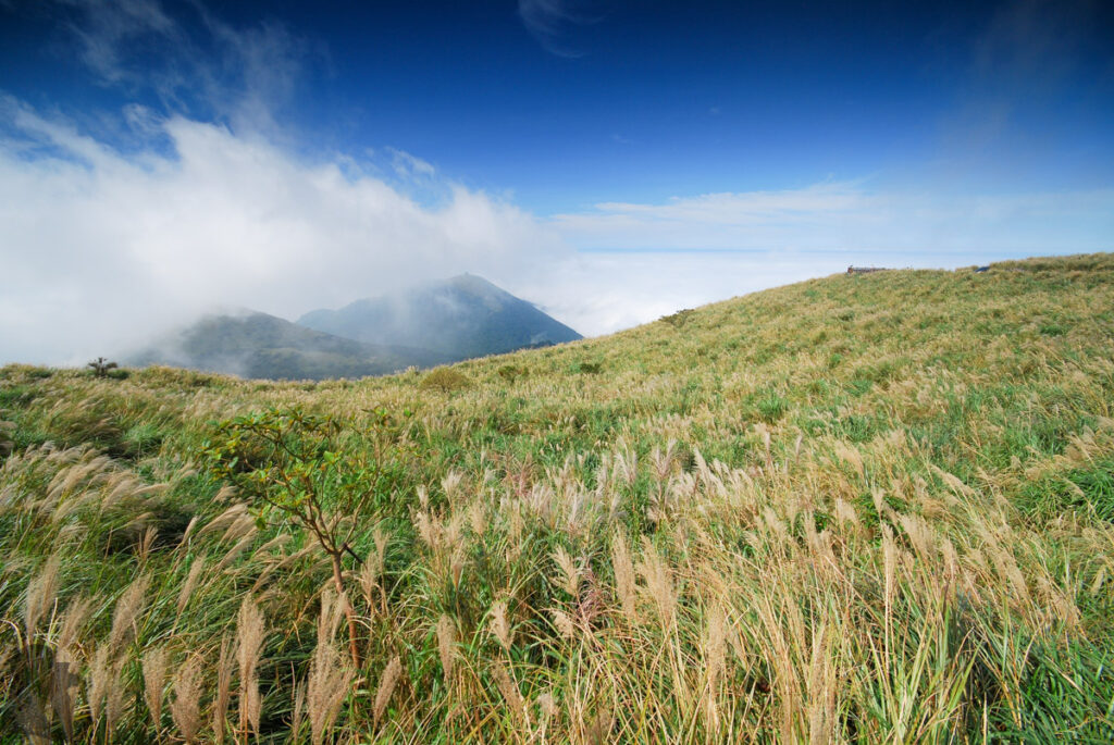
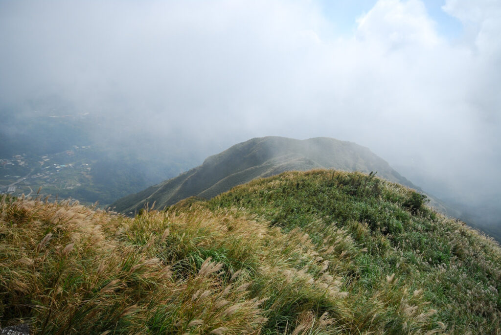
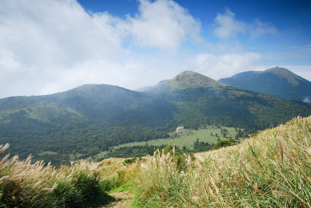
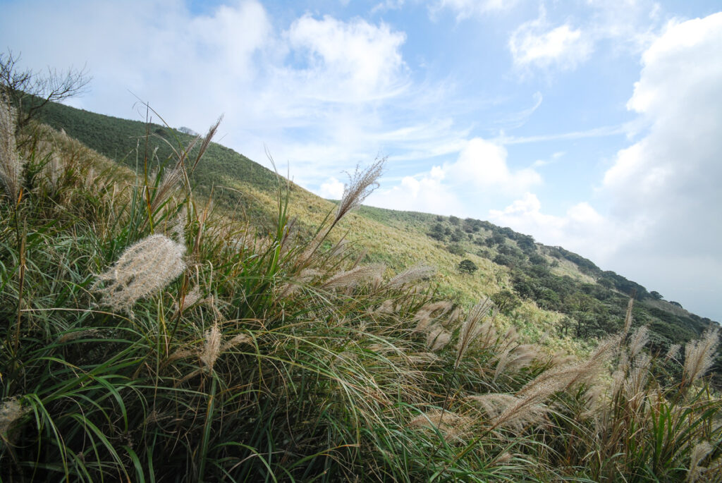
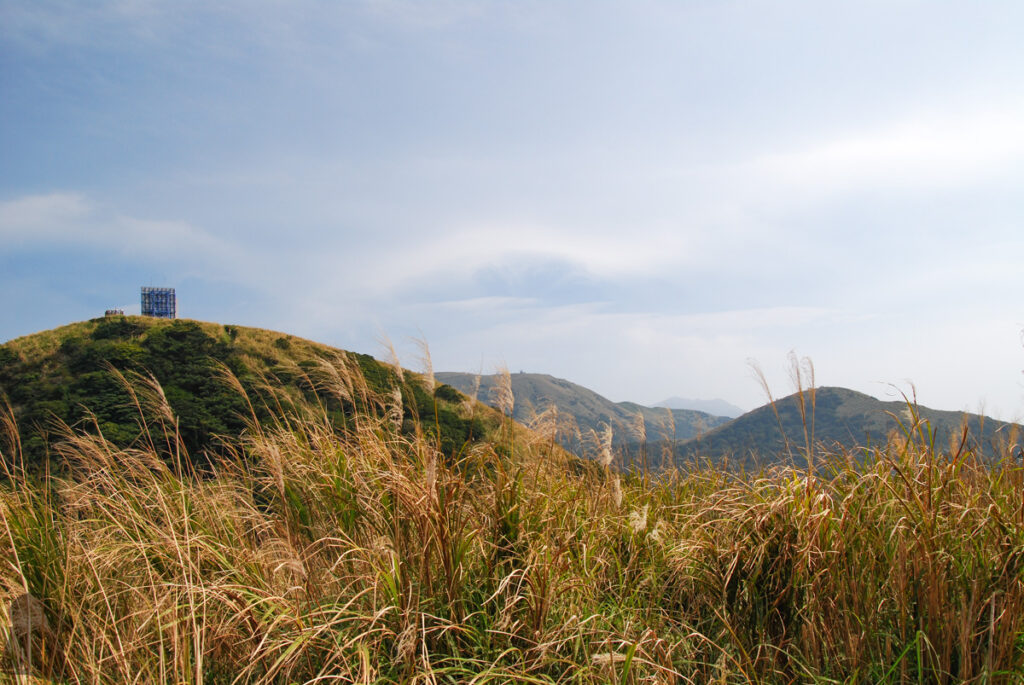
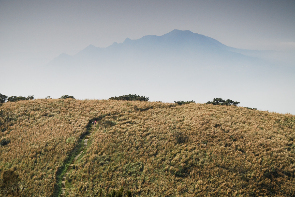
These cone-shaped volcanoes covered by lush silver grass is a typical mountainous landscape in northern Taiwan, which is very different from the vast majority of other mountains of Taiwan. The view for the northern shore, Guanyinshan (觀音山) and Taipei City are the highlights of the walk as well.